Top 20 Natural Monuments around Münchsmünster
Natural monuments around Münchsmünster offer diverse landscapes and ecological features. The region is characterized by its proximity to the Danube River, which has shaped its natural environment, including historical oxbows. Visitors can explore areas where rivers converge and ancient trees stand as testaments to the area's natural heritage. These natural features provide opportunities for outdoor activities and observation of local flora and fauna.
Best natural monuments around Münchsmünster
- The most popular natural monuments is St. Ulrich Collegiate Church, Ainau,…
Last updated: May 11, 2026
Confluence of the Abens and Danube
Highlight • River
Translated by Google •
Tip by

St. Ulrich Collegiate Church, Ainau
Highlight • Religious Site
Translated by Google •
Tip by

Sign up now to discover places like this
Get recommendations on the best single tracks, peaks, & plenty of other exciting outdoor places.
Sign up for free
Confluence of the Paar and Danube
Highlight • River
Translated by Google •
Tip by

Demlinger Quarry
Highlight • Structure
Translated by Google •
Tip by

Old Danube Oxbow, Pförring
Highlight • Lake
Translated by Google •
Tip by

Sign up for free to discover even more natural monuments around Münchsmünster.
Sign up for free
Already have an account?
Start today with a free account
Your next adventure awaits.
Login or Signup
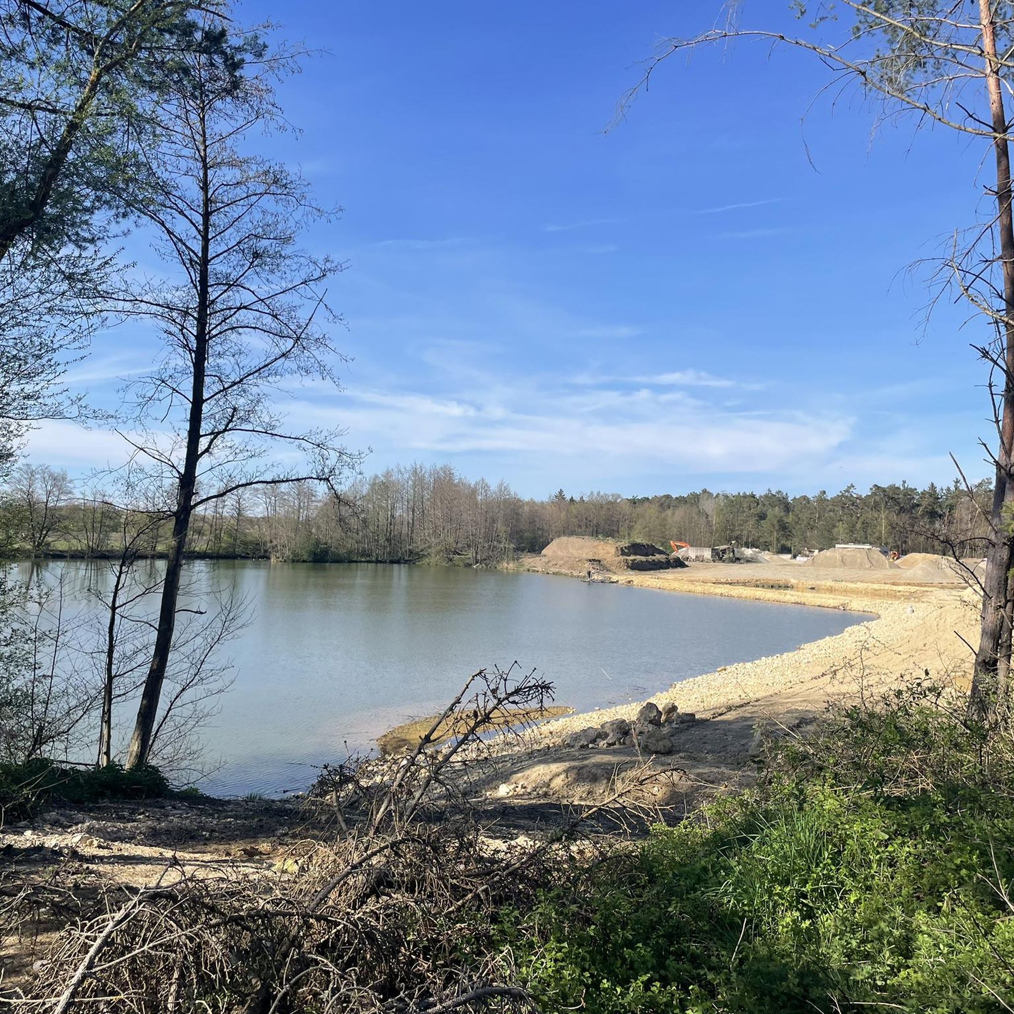
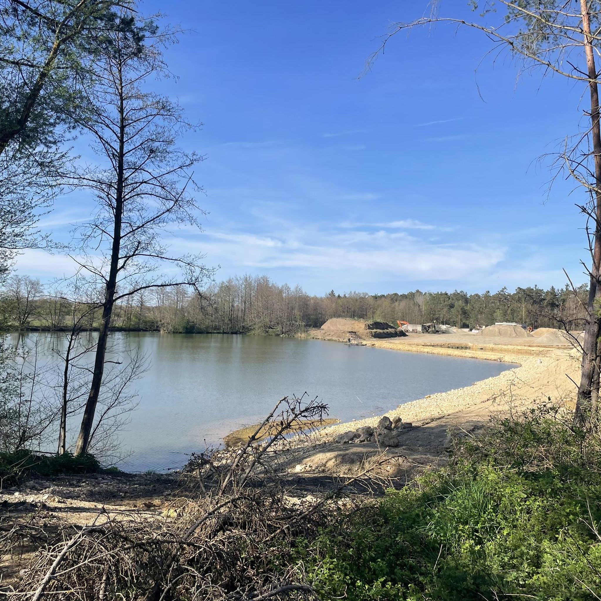

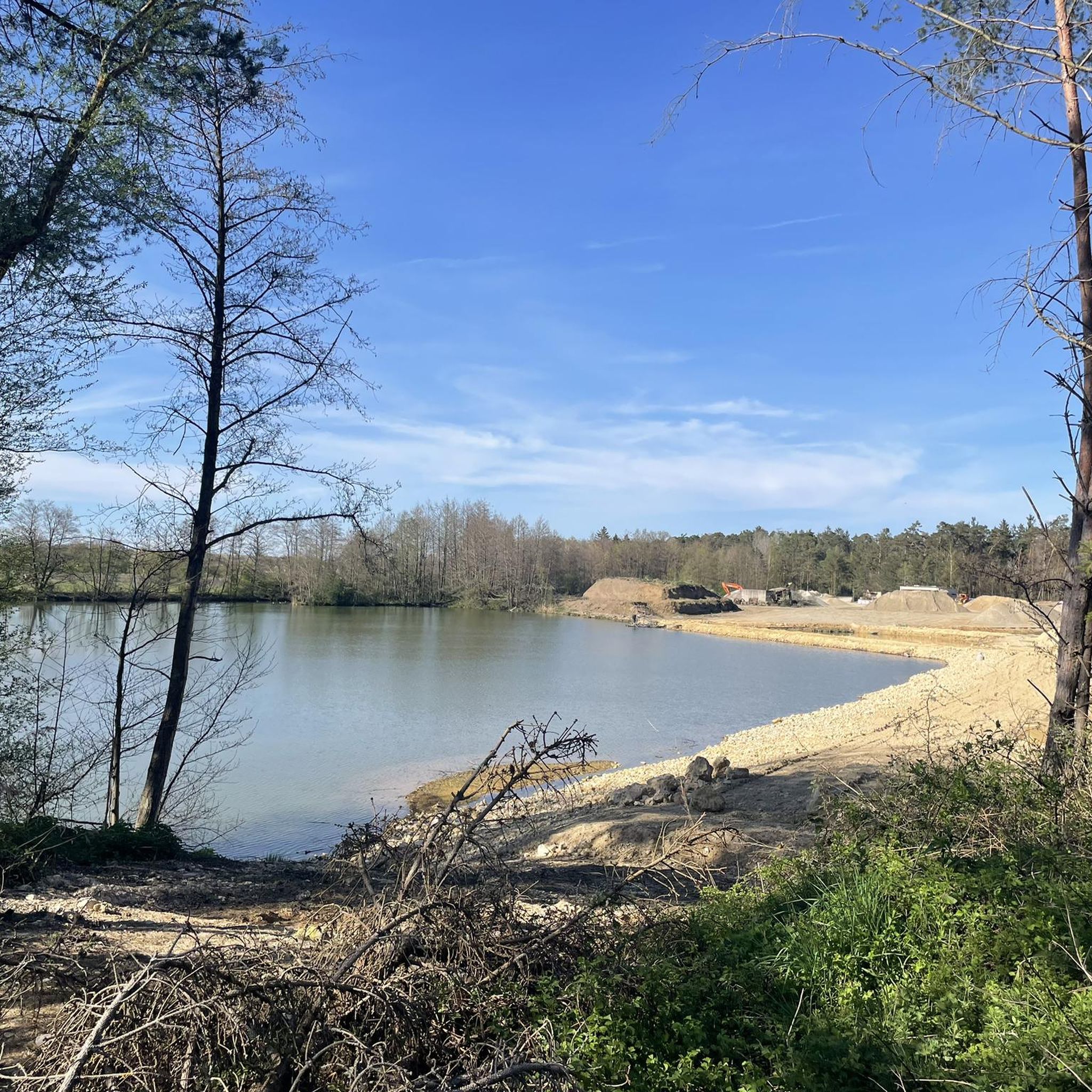
Other adventures around Münchsmünster

Tips from the Community

The Abens The Abens is a river in Upper and Lower Bavaria. It rises at Bruchholz between Dürnzhausen in the northwest and Sünzhausen in the southeast, in the district of Pfaffenhofen an der Ilm. The Roman fort of Eining took its name, Abusina, from the nearby Abens. The origin of this river name is unclear. The first element could be derived from the Indo-European word "abā" (water). Other sources suggest that the river name in Celtic was "Abusā" and that the ending -ina initially referred only to the fort. In its upper reaches, the Abens flows through the Hallertau, a hilly region characterized by hop cultivation. From its source between Dürnzhausen and Sünzhausen, the river initially flows eastward, then northeastward, crossing the border into the district of Freising after just over a kilometer. The Abens River then passes through the villages of Abens, Hirnkirchen, Seysdorf, and Halsberg before reaching the market town of Au in the Hallertau region. There, it turns north and runs largely parallel to Federal Highway 301 until Abensberg. The river then passes through the villages of Enzelhausen and Rudelzhausen before reaching the border with the district of Kelheim and thus Lower Bavaria. From there, it continues northward to the small town of Mainburg. From this point, the Abens meanders northward before passing under Federal Highway 93. It then flows on to the market town of Siegenburg, which it skirts to the west. Finally, the river reaches Biburg with its noteworthy Romanesque church and then passes Frauenberg hill with the equally impressive Baroque pilgrimage church of Allersdorf. Around this point, the valley opens into a wide plain that slopes gently westward toward the Danube. The river then turns west at the level of the small town of Abensberg and reaches the spa town of Bad Gögging. West of Bad Gögging, the river turns north again and merges with the Ilm, which runs parallel to the Danube and is of roughly the same size. Both rivers carry an average flow of approximately 3.2 m³/s of water at this point. The original mouth of the Abens into the Danube was likely located approximately here. However, as a result of artificial regulation measures in the 1920s, the mouth was moved about three kilometers north. The Abens now flows into the Danube after approximately 71.1 km, west of the village of Eining. Source: Excerpts from www.wikipedia.de
2
0

It's a beautiful place.
3
0

Don't jump in but nature is just great
1
0

Beautiful church
1
0

Very nice
3
0

Actually, the position is not correct. But a few meters further, the Abens flows into the Danube.
2
0
Frequently Asked Questions
What are some notable natural monuments to visit around Münchsmünster?
The region offers several unique natural monuments. You can explore the tranquil Old Danube Oxbow, Pförring, which is a former branch of the Danube River. Another significant site is the Confluence of the Paar and Danube, where you can observe the two rivers meeting. Additionally, the Ancient Oak Tree Near Manching Airfield showcases stately pedunculate oaks and elms.
What kind of natural features can I expect to see in the Münchsmünster area?
The natural monuments around Münchsmünster are primarily characterized by river landscapes, including historical oxbow lakes and significant river confluences. You'll also find impressive ancient trees and natural groves, offering diverse ecological features shaped by the Danube River and its tributaries.
Are there family-friendly natural monuments around Münchsmünster?
Yes, several natural monuments are suitable for families. The Confluence of the Paar and Danube, the Old Danube Oxbow, Pförring, and the Ancient Oak Tree Near Manching Airfield are all considered family-friendly, offering pleasant environments for all ages to enjoy nature.
What outdoor activities can I do near the natural monuments around Münchsmünster?
The area around Münchsmünster is excellent for various outdoor activities. You can find numerous cycling routes, including easy and moderate options, as well as mountain biking trails. There are also easy hiking trails available. For more details on routes, you can explore the Cycling around Münchsmünster, MTB Trails around Münchsmünster, and Easy hikes around Münchsmünster guides.
Are there hiking trails near these natural monuments?
Yes, there are several easy hiking trails in the vicinity of the natural monuments. For example, you can find routes like the 'Danube Riverbank – View of the Danube loop' or various hiking loops starting from Mitterwöhr and Münchsmünster. You can find more information and specific routes in the Easy hikes around Münchsmünster guide.
What is the best time of year to visit the natural monuments around Münchsmünster?
The natural monuments are beautiful year-round. Spring and summer offer lush greenery and vibrant wildlife, ideal for outdoor activities. Autumn provides stunning reflections of trees and leaves, especially around the Old Danube Oxbow, Pförring, making it a particularly scenic time for photography and tranquil walks.
Are there any natural monuments that are wheelchair accessible?
While many natural sites involve natural terrain, the Stadtplatz Fountain Monolith, though a man-made monument, is noted as wheelchair accessible. For other natural monuments, accessibility may vary, and it's advisable to check specific trail conditions.
Can I bring my dog to the natural monuments in the Münchsmünster area?
Generally, dogs are welcome on trails and in natural areas around Münchsmünster. However, it's always recommended to keep them on a leash and adhere to any local regulations or signage, especially in protected ecological zones or near wildlife habitats.
What do visitors particularly enjoy about the natural monuments here?
Visitors appreciate the tranquil environments, the opportunity to observe local wildlife, and the scenic beauty of the river landscapes. The historical significance of sites like the Old Danube Oxbow and the impressive presence of ancient trees also leave a lasting impression. Many enjoy the peaceful spots for reflection and the picturesque views.
Are there parking options available near the natural monuments?
Parking availability varies by location. For many natural monuments and trailheads in the Münchsmünster area, you can typically find designated parking spaces or roadside parking. It's often helpful to check specific route details or local maps for the most convenient parking options before your visit.
Are there any unique geological formations in the Münchsmünster region?
The region's most unique geological features are tied to the Danube River's historical course. The Old Danube Oxbow, Pförring, for instance, is a remnant of the river's past, showcasing how the landscape has been shaped by natural hydrological processes over centuries. The confluence of the Paar and Danube also represents a dynamic natural formation.
What is the St. Ulrich Collegiate Church, Ainau, and why is it considered a natural monument?
The St. Ulrich Collegiate Church, Ainau, is a Romanesque apse from the 13th century. It's recognized as a natural monument not just for its historical architecture, but because the church and its surrounding grove are considered a large natural monument, blending cultural heritage with significant natural elements.
Most popular routes around Münchsmünster
Most popular attractions around Münchsmünster

Get inspired with the komoot mobile app


Explore more
Extend your search for the best caves by checking out these guides of the top ones around Münchsmünster:
