Top 20 Natural Monuments around Sundhagen
Natural monuments around Sundhagen are characterized by coastal landscapes, protected areas, and unique natural features. The municipality, located in Mecklenburg-Vorpommern, Germany, borders the Greifswalder Bodden and the Strelasund, an arm of the Baltic Sea. This region is recognized for its ecological significance, offering diverse ecosystems and habitats for various flora and fauna. Sundhagen's natural heritage includes extensive protected areas and specific natural landmarks.
Best natural monuments around Sundhagen
- The most popular natural monuments is Palmer Ort – southern tip of…
Last updated: August 18, 2026
Devin Peninsula Nature Reserve
Highlight (Segment) • Natural Monument
In the past, the area was used for military purposes …
Translated by Google •
Tip by

Palmer Ort – southern tip of Rügen
Highlight • Beach
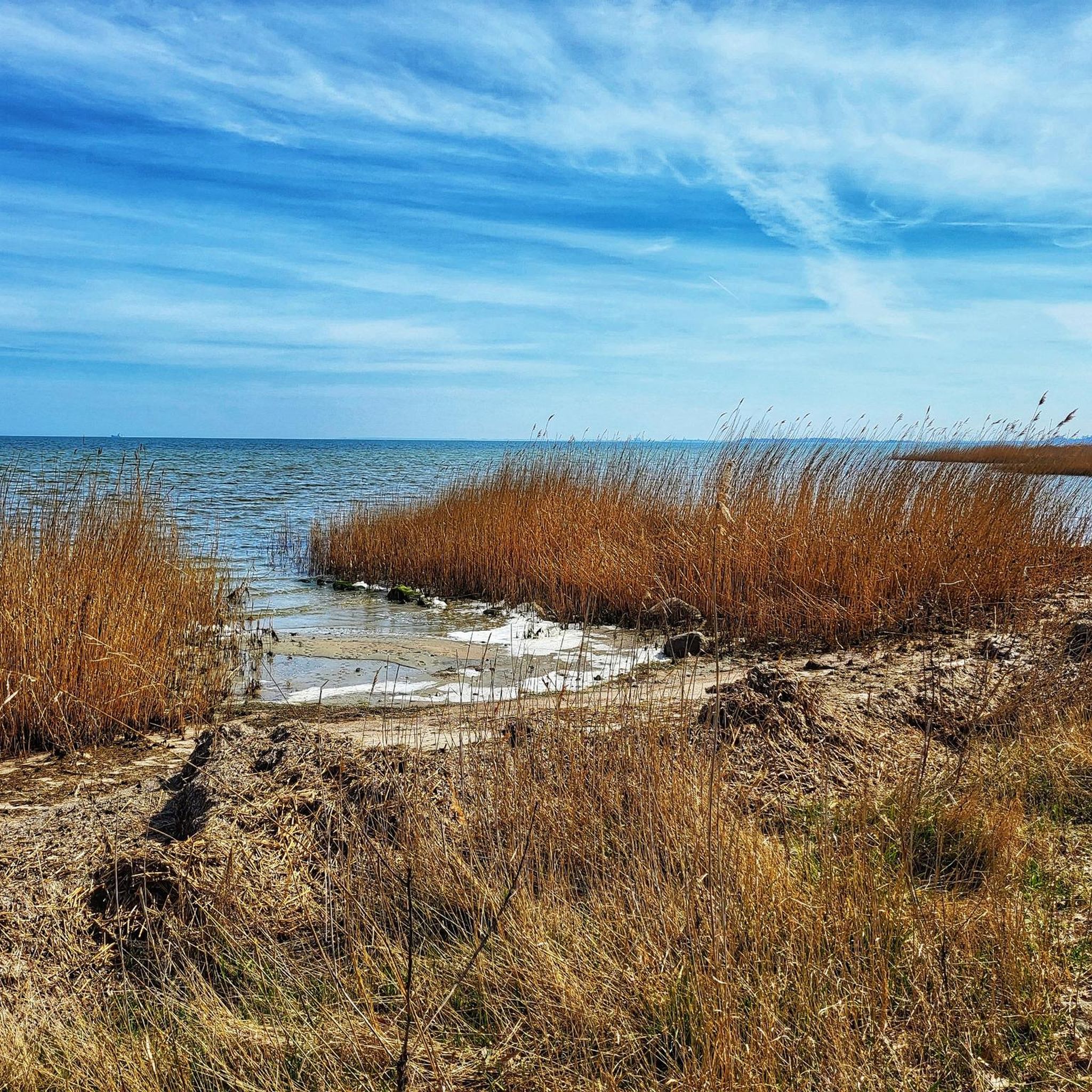
A tranquil beach with hag stones and views of Koos Island and the Bodden lagoon.
Translated by Google •
Tip by

Sign up now to discover places like this
Get recommendations on the best single tracks, peaks, & plenty of other exciting outdoor places.
Sign up for free
St. John's Church Reinberg
Highlight • Religious Site
The Reinberger linden tree stands in front …
Translated by Google •
Tip by

Mellnitz-Üselitzer Wiek Nature Restoration Area
Highlight • Lake
de.wikipedia.org/wiki/Mellnitz-%C3%9Cselitzer_Wiek
Translated by Google •
Tip by

Greifswald City Ramparts
Highlight (Segment) • Historical Site
Translated by Google •
Tip by

Sign up for free to discover even more natural monuments around Sundhagen.
Sign up for free
Already have an account?
Start today with a free account
Your next adventure awaits.
Login or Signup

Tips from the Community

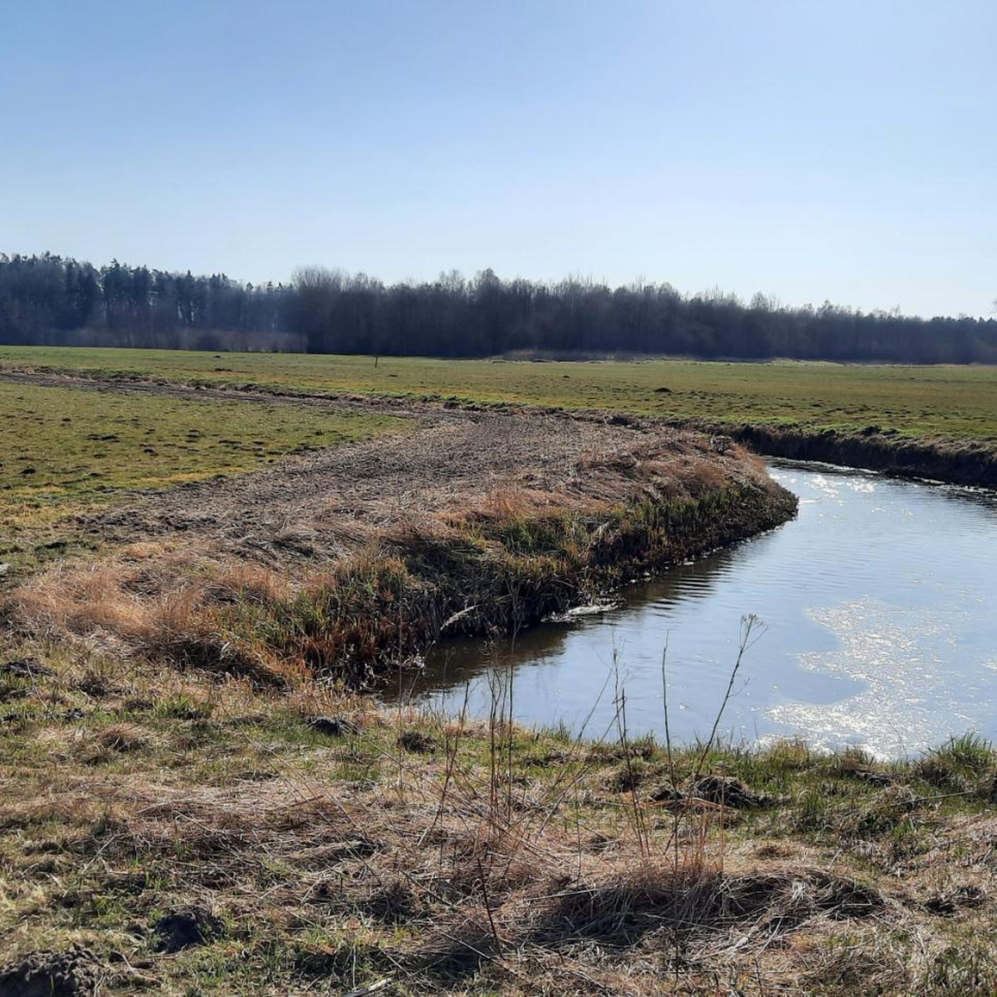
Here, environmental protection becomes "tangible", great that DEGES made this possible as compensation for the "new" Rügen Bridge. Definitely take binoculars with you...
0
0

Beautiful small village church that has something mystical about it from one side due to the greenery, I find.
1
0

Beautiful ramparts with remains of the city wall
1
0
Ramparts with remains of the city wall from past times
1
0

Wonderful nature to relax and enjoy.
1
0

Some of the historic fortifications still exist today around the historic city centre of the Hanseatic city.
4
0

At the cemetery entrance, a sign encouraging visitors to visit said "Church open." However, someone had locked the building. A woman from the village confirmed that it was very beautiful. So we filled up on plenty of drinking water, enjoyed the 800-year-old linden tree, as well as a height measuring point on the church tower, which has survived the times unscathed (it has something written on it saying "German Empire"). We enjoyed the peace, the bench and the blackberries.
0
0

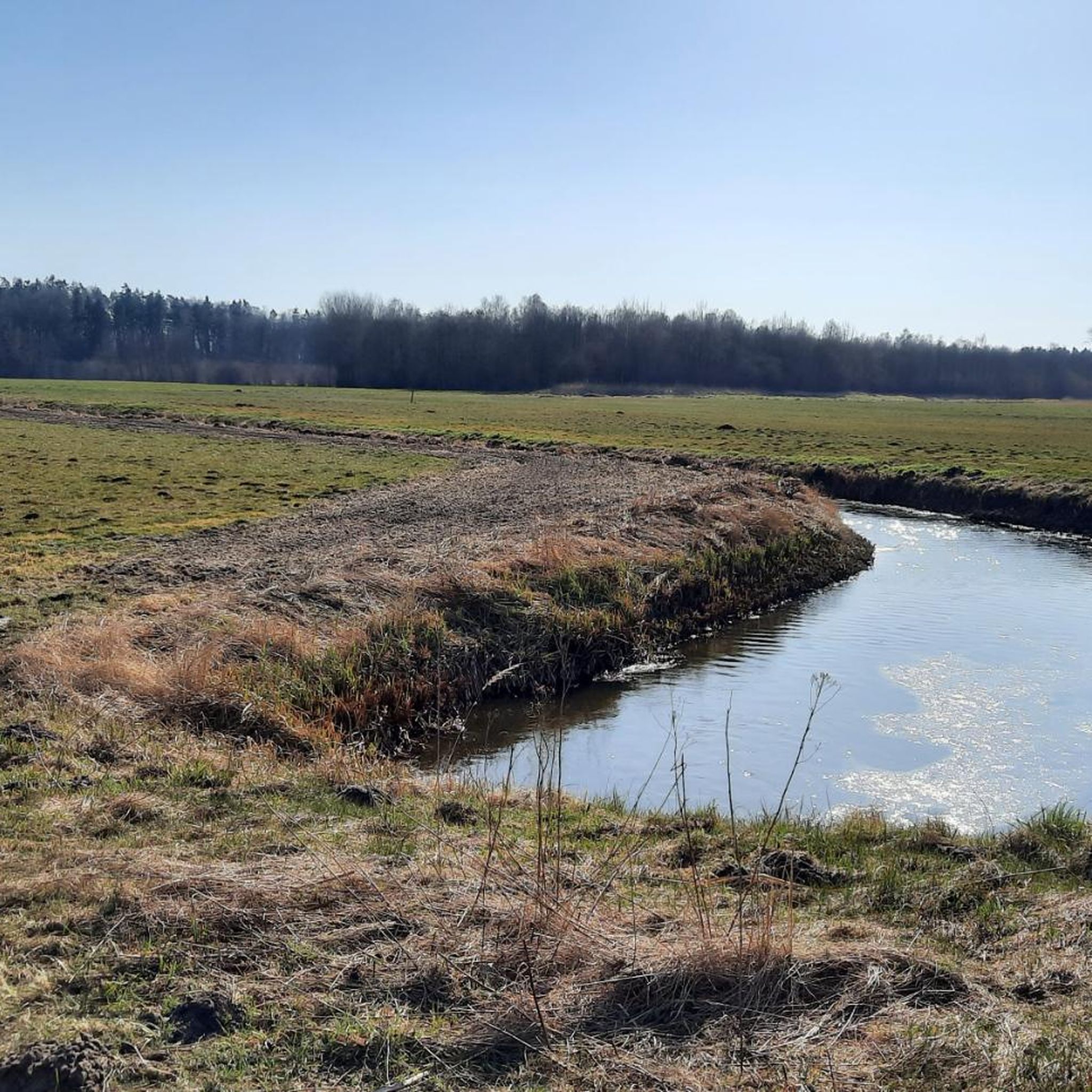
The Mellnitz-Üselitzer Wiek is a landscaped area in the south of the island of Rügen near Poseritz. After the construction of the new Rügen Bridge over the Strelasund between Stralsund and Altefähr, the German Unity Highway Planning and Construction Company (Deges) undertook to re-wet the Wiek as a compensatory measure to make amends for environmental damage. Before it was drained, the Wiek was last recorded as a body of water on a Prussian survey map from 1830. It had open access to the Puddeminer Wiek and covered an area of 32 hectares. With the construction of a dike around the middle of the 20th century, the breach was closed and the area was drained using a pumping station. Since then, the reclaimed area, which was about two meters below the water level of the Greifswald Bodden, was used for agriculture until 1990. Deges planned to re-wet the lake in 2012. In 2010, a flood structure was built on the neighboring Puddeminer Wiek. Two automatically controlled flood gates with a total width of 12 meters were installed to regulate the water exchange, as well as two scooping and pumping stations. The area was flooded from August 19, 2011. The Mellnitz-Üselitzer Wiek is two meters deep at its deepest point after flooding and covers an area of 124 hectares; the entire renaturation area measures 240 hectares. The area has now developed into a nationally important migration and resting area for water and wading birds as well as cranes. Thousands of ducks such as wigeons, mallards and tufted ducks as well as grey geese rest here. At low water, wading bird species such as lapwings and golden plovers rest in the Wiek. A large cormorant colony has established itself in the southwestern part of the Wiek. https://de.wikipedia.org/wiki/Mellnitz-%C3%9Cselitzer_Wiek
4
0
Frequently Asked Questions
What natural features can I see around Sundhagen?
Sundhagen is characterized by its diverse coastal landscapes and protected areas. You can explore the shores of the Greifswalder Bodden and the Strelasund, which are part of the Baltic Sea. The region features rugged coastlines, reed-covered shores, extensive meadows, moors, and forests. Notable natural features include the Devin Peninsula Nature Reserve with its moraine landscape, and the Mellnitz-Üselitzer Wiek Nature Restoration Area, a rewilded shallow sea bay.
Beyond the most popular spots, what other natural monuments can I explore near Sundhagen?
While the region is known for its protected areas, you can also visit specific natural landmarks. The Palmer Ort – southern tip of Rügen offers a tranquil beach and forest area with views of Koos Island. Another unique spot is the Cormorant Colony Near Niederhof, one of Germany's largest cormorant colonies, providing an impressive birdwatching experience.
Are there hiking trails near the natural monuments around Sundhagen?
Yes, the region offers various hiking opportunities. Coastal hiking trails crisscross the area, providing scenic routes along the Strelasund and towards Rügen. For specific trails, you can find easy hikes around Sundhagen, including a circular route at the Devin Peninsula Nature Reserve. Explore more options on the Easy hikes around Sundhagen guide.
What other outdoor activities can I do near these natural monuments?
Besides hiking, the coastal areas around Sundhagen are excellent for water sports and nature observation. You can also find various cycling routes. For example, there are numerous options for cycling around Sundhagen, including routes that take you past scenic viewpoints and natural areas. Road cycling enthusiasts can also find suitable tours in the Road Cycling Routes around Sundhagen guide.
Are the natural monuments around Sundhagen family-friendly?
Many natural areas are suitable for families. The Devin Peninsula Nature Reserve, Palmer Ort – southern tip of Rügen, and the Mellnitz-Üselitzer Wiek Nature Restoration Area are all listed as family-friendly. These spots offer opportunities for walks, birdwatching, and enjoying nature together.
Can I bring my dog to the natural monuments around Sundhagen?
Many natural areas and trails are dog-friendly, but it's important to keep dogs on a leash, especially in nature reserves, to protect wildlife and grazing animals. For instance, at the Devin Peninsula Nature Reserve, sheep graze to maintain the landscape, so leashing your dog is essential.
What is the best time of year to visit the natural monuments around Sundhagen?
The region is beautiful year-round, but spring and autumn are particularly good for birdwatching, especially at the Cormorant Colony Near Niederhof and the Mellnitz-Üselitzer Wiek Nature Restoration Area, which serve as resting and feeding grounds for migratory birds. Summer is ideal for enjoying the coastal areas and water sports, while cooler, overcast days can offer a more tranquil hiking experience away from crowds.
Are there parking facilities available at the natural monuments?
Yes, for popular natural monuments like the Devin Peninsula Nature Reserve, there is a parking lot available at the entrance to the peninsula. For other areas, parking might be available in nearby villages or designated spots along coastal trails. It's advisable to check local signage.
How can I reach the natural monuments around Sundhagen by public transport?
Public transport options to reach specific natural monuments can vary. While some areas might be accessible via regional bus lines, many natural reserves are best reached by car or bicycle from nearby towns. It's recommended to check local bus schedules for routes connecting to villages near your desired destination.
Are there any historical or cultural sites near the natural monuments?
Yes, the region combines natural beauty with historical elements. For example, the St. John's Church Reinberg, a Gothic brick church dating back to the 13th century, stands near a designated natural monument: the Reinberger linden tree, estimated to be around 1,000 years old. This offers a blend of natural and man-made heritage.
What do visitors enjoy most about the natural monuments around Sundhagen?
Visitors frequently appreciate the tranquility and natural beauty of the region. Highlights often mentioned include the stunning views, especially from coastal areas like Palmer Ort, and the opportunity for peaceful walks. The unique wildlife observation, particularly at the Cormorant Colony Near Niederhof, is also a significant draw.
Are there accommodations or places to eat near the natural monuments?
Sundhagen and its surrounding villages offer various accommodation options, from guesthouses to holiday apartments. You can also find cafes and pubs in the larger communities, providing places to eat and relax after exploring the natural monuments. It's a good idea to check for options in towns like Miltzow or Stralsund, which are relatively close to many natural areas.
Most popular routes around Sundhagen
Most popular attractions around Sundhagen

Get inspired with the komoot mobile app


Explore more
Extend your search for the best caves by checking out these guides of the top ones around Sundhagen:
