Top 4 Mountain Passes around Langewiesen
Best mountain passes around Langewiesen are found within the Thuringian Forest, a region characterized by elevated points, summits, and observation towers. These locations offer panoramic views and recreational opportunities, serving as key attractions for those seeking natural landscapes. The area provides a variety of routes and viewpoints that offer experiences similar to traditional mountain passes. Langewiesen is situated in the Ilm-Kreis region of Thuringia.
Best mountain passes around Langewiesen
- The most popular mountain passes is Schneekopf North Ascent, a…
Last updated: August 17, 2026
Scenic Mountain Road to Steinbach
Highlight (Segment) • Trail
Translated by Google •
Tip by

Hohe Tanne
Highlight • Mountain Pass
Translated by Google •
Tip by

Sign up now to discover places like this
Get recommendations on the best single tracks, peaks, & plenty of other exciting outdoor places.
Sign up for free
Schneekopf North Ascent
Highlight (Segment) • Mountain Pass
Translated by Google •
Tip by
Highest Paved Point of the Thuringian Forest (942 m)
Highlight • Mountain Pass
Translated by Google •
Tip by
Mountain Road Between Gießübel and Schwalbenhaupt
Highlight (Segment) • Mountain Pass
Translated by Google •
Tip by

Start today with a free account
Your next adventure awaits.
Login or Signup
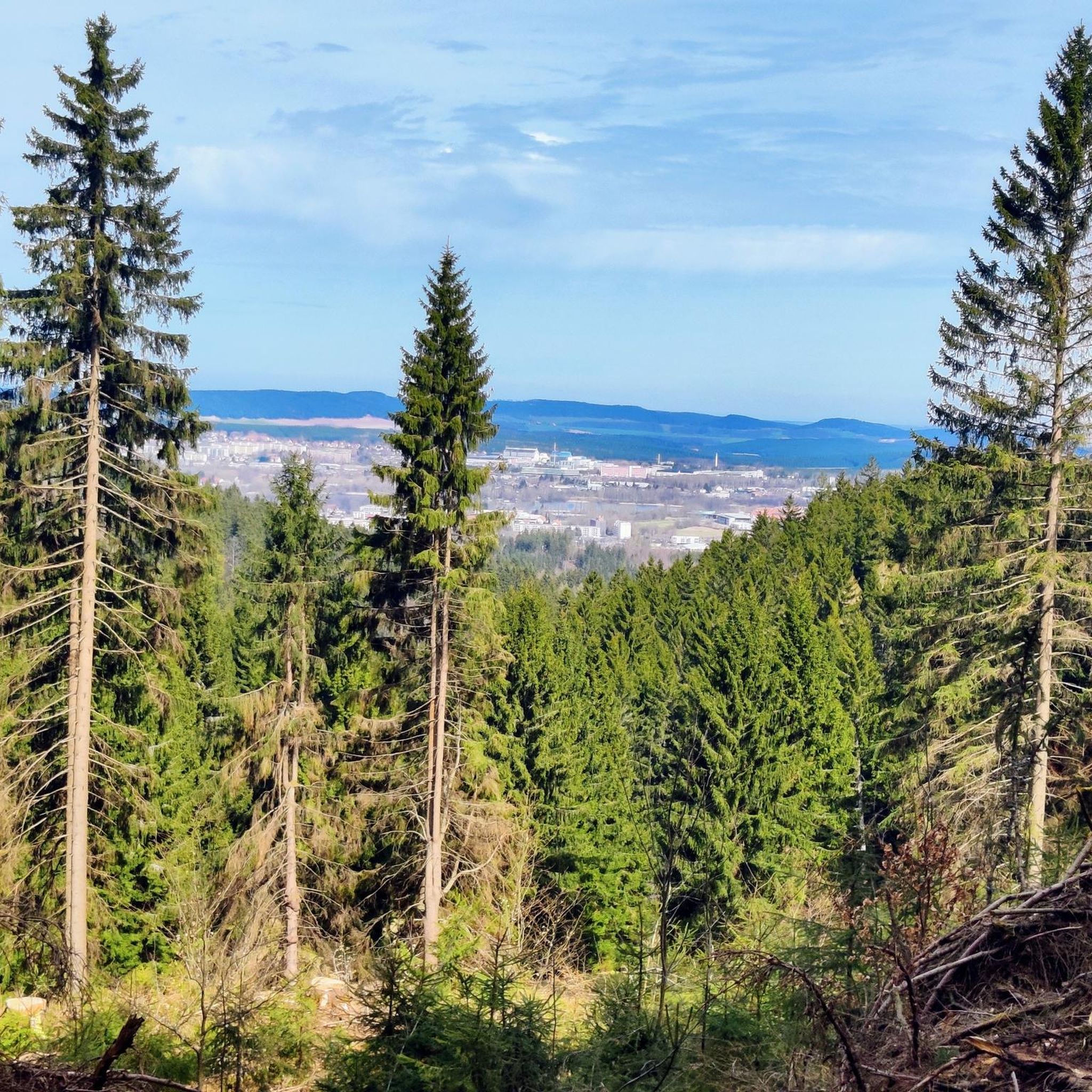
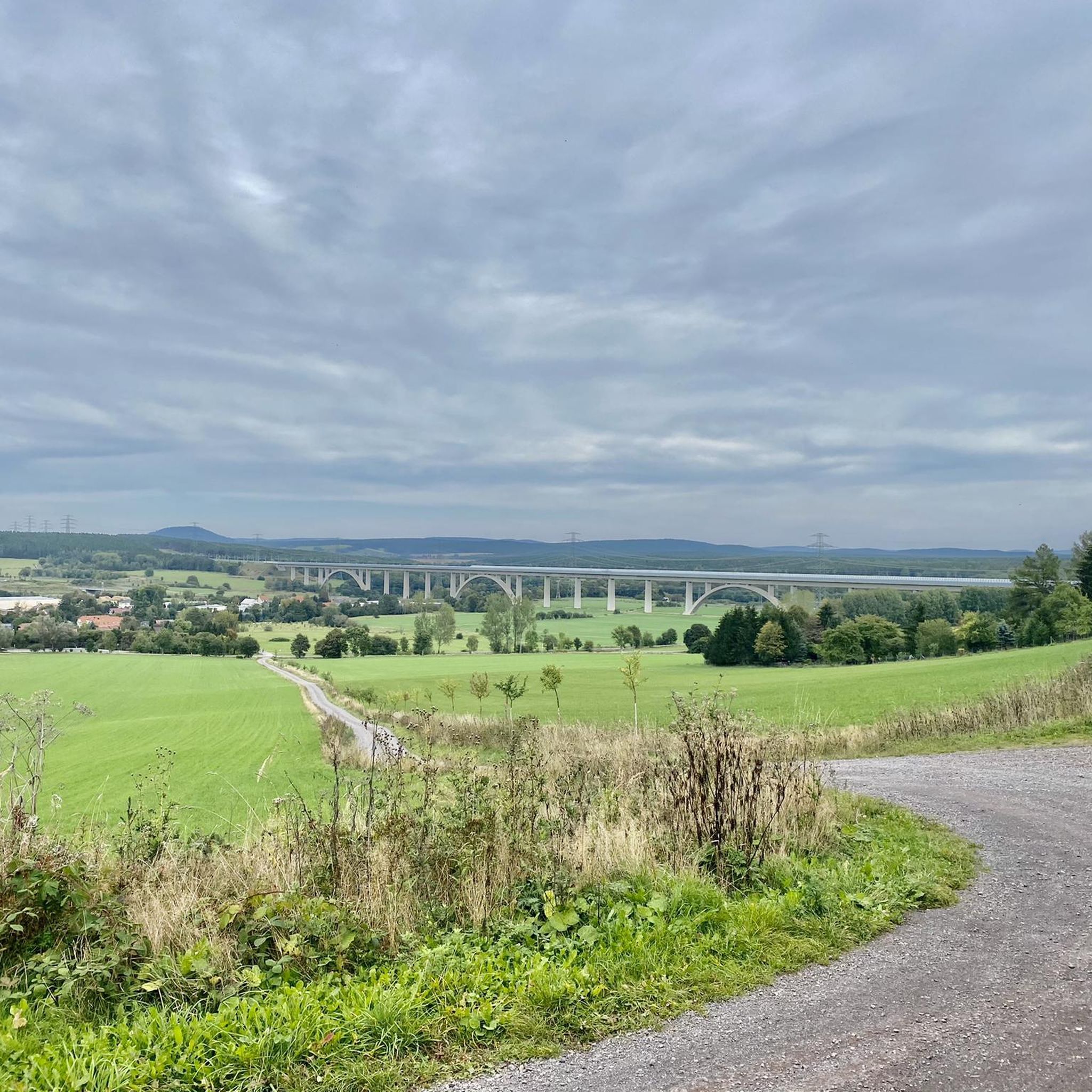
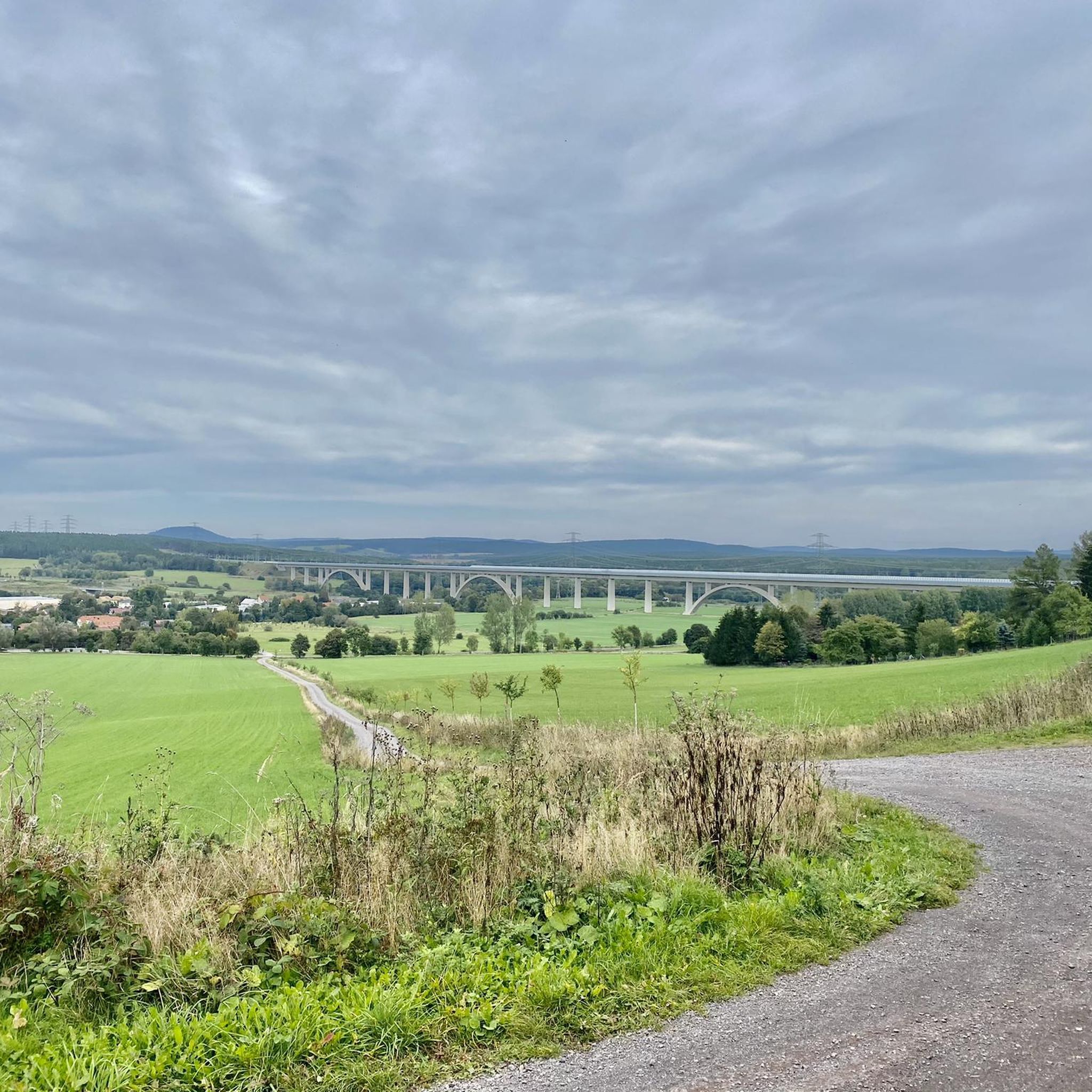
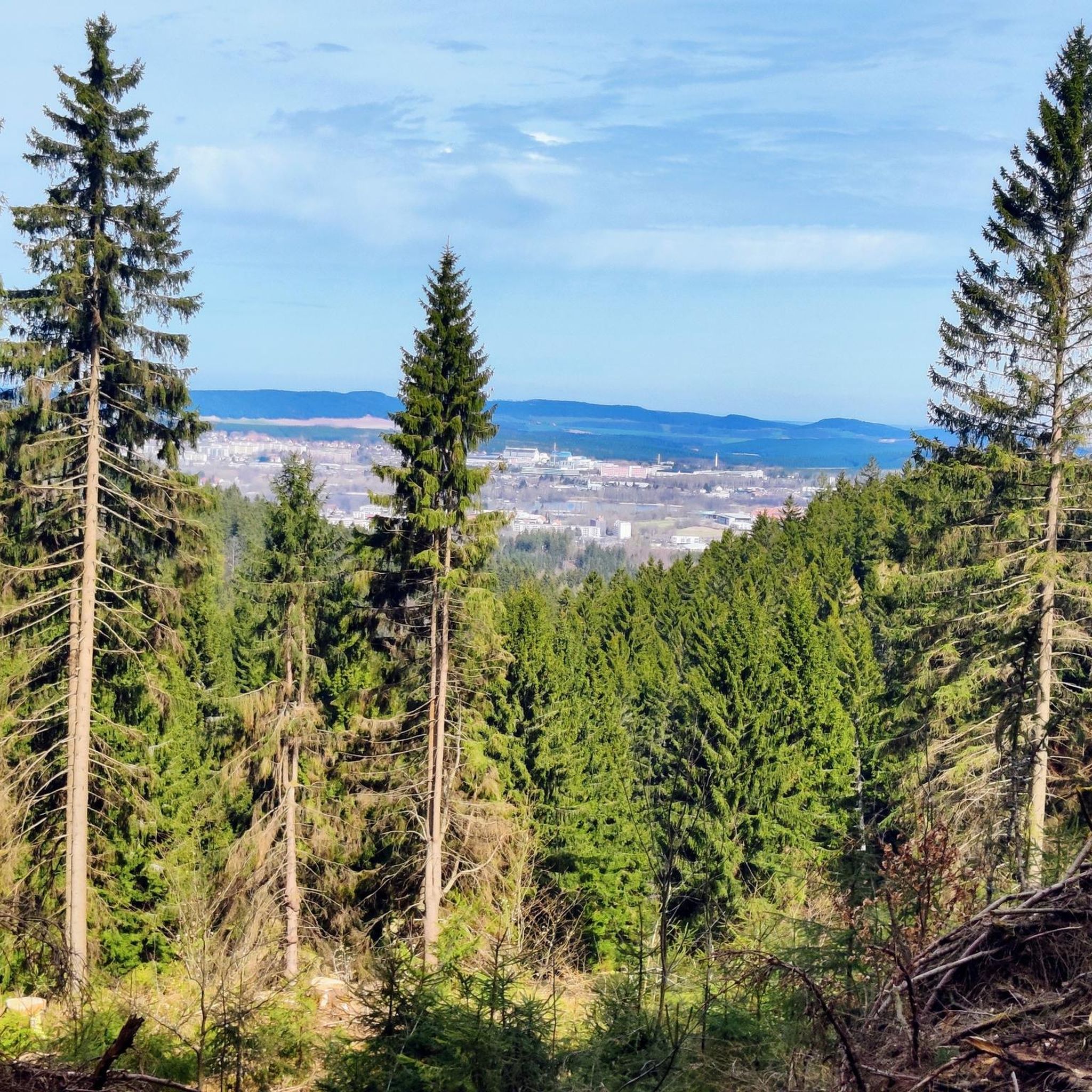

Tips from the Community

Comfortable pass ride with moderate gradients.
0
0
Comfortable pass ride, the gradient is kept well within limits.
0
0


Finally, there is a sign again - perfect as a "reminder"
0
0

From here it is downhill in all directions for a long time. The route from here via Oberhof into the Geratal is very beautiful.
1
0
The highest point of the Ilmenau - Großbreitenbach railway cycle path. See also https://www.quaeldich.de/paesse/hohe-tanne/ and http://www.bahntrassenradeln.de/details/th22.htm The high fir tree (701 m) lies in a saddle between the Langen Berg (808 m) and the Rennsteig approx. 850. You can decide here whether you want to * go up to the Rennsteig to Neustadt * continue on the railway cycle path to Großbreitenbach - Altenfeld * go down into the Schwarzatal * head northeast towards Rinnetal - Saalfeld * go down to Ilmenau on the tarred railway cycle path * or go down to Ilmenau on the country road. The best way to get from the railway cycle path is by racing bike *west/south through an industrial site and the HohenTanne road to the bridge and back to the roads == == ______hohe Tanne--____// __C____________________)(________>_Ilmenau railway cycle path //
0
0

A dream for racing cyclists 🤩
0
0

…Would have been on the sign if it hadn't been stolen.
1
0
Frequently Asked Questions
What are the most scenic elevated points and mountain roads near Langewiesen?
The region around Langewiesen, within the Thuringian Forest, offers several elevated points and scenic roads that provide breathtaking views. Notable spots include the Schneekopf North Ascent, leading to Thuringia's second-highest peak with expansive vistas, and the Scenic Mountain Road to Steinbach, known for its winding curves and moderate gradients. The Mountain Road Between Gießübel and Schwalbenhaupt also offers excellent asphalt and enjoyable turns.
Are there any historical or cultural sites associated with the elevated points in the Thuringian Forest?
Yes, the Kickelhahn Tower near Langewiesen is a site rich in history, featuring a lookout tower dating back to 1855. It also hosts a rebuilt Goethe Cabin and a restaurant, combining natural beauty with cultural heritage.
What are the best times to visit the mountain passes and viewpoints around Langewiesen?
The Thuringian Forest is beautiful year-round. Spring and autumn offer vibrant colors and pleasant temperatures for hiking and cycling. Summer provides longer daylight hours for exploration, while clear winter days can offer stunning, crisp views, especially from higher elevations like Schneekopf.
What amenities are available at the major viewpoints like Schneekopf and Adlersberg?
At the Schneekopf Summit, you'll find the Neue Gehlberger Hütte, which is the highest-altitude serviced hut in Thuringia, offering a cozy hiking hostel and traditional Thuringian cuisine. Near the Adlersberg Observation Tower, the Adlersbergbaude provides hot drinks and a variety of food, including bratwurst, burgers, soups, and cakes, operating from Tuesday to Sunday.
Are there family-friendly hiking options near these mountain passes?
Yes, the region offers several family-friendly hiking routes. For example, you can explore trails like the 'Kyrill Hut on the Gotteskopf – Hexenstein Viewpoint loop from Oehrenstock' or the 'Mittelweg – Kranichsruh loop from Langewiesen.' You can find more options in the Family-friendly hikes around Langewiesen guide.
What kind of cycling routes can I find near the mountain passes?
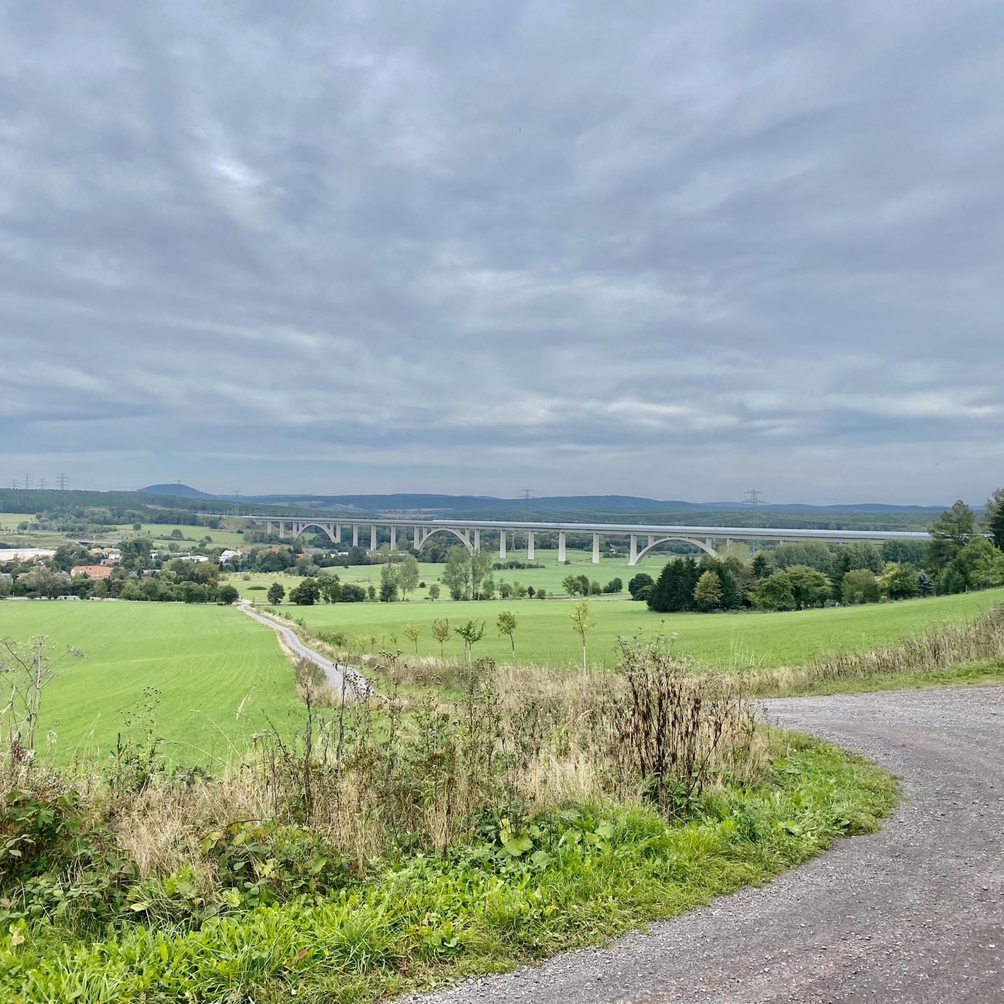
The area is great for cycling. The Hohe Tanne marks the highest point of the Ilmenau - Großbreitenbach railway cycle path, offering various directions for cyclists. You can also find routes like the 'Fridolin Inn – Knöpfelstaler Pond loop from Langewiesen' or the 'Langewiesen ICE Bridge – View of the Ilmtal Bridge loop from Langewiesen.' Explore more in the Cycling around Langewiesen guide.
How challenging are the climbs to the elevated points?
Climbs vary in difficulty. For instance, the Schneekopf North Ascent is considered challenging, with an average gradient of 8% and sections up to 15% over 6.4 kilometers. Other routes, like the lower half of the Scenic Mountain Road to Steinbach, have more moderate gradients between 4% and 6%.
Are there public transport options to reach hiking trails or viewpoints?
While specific public transport details for each viewpoint are best checked locally, you can find numerous hiking routes accessible from bus stations around Langewiesen. For example, the 'Wedding Meadow – Erhardstanne Shelter loop from Oehrenstock' is one such option. Refer to the Hikes from bus stations around Langewiesen guide for more details.
What do visitors enjoy most about the mountain roads and passes in this region?
Visitors frequently praise the excellent asphalt and sweeping combinations of the mountain roads, making them enjoyable for both uphill climbs and downhill descents. The low traffic on many sections allows for a peaceful experience, and the breathtaking views from various points are consistently highlighted as a major draw.
Can I find viewpoints that offer extensive panoramic views?
Absolutely. The Adlersberg Observation Tower provides magnificent panoramic views of the surrounding Thuringian Forest. The Schneekopf Summit, as the second-highest elevation in Thuringia, offers magnificent all-around views that can extend to other peaks in the Thuringian Forest, the Rhön, and even the Brocken in the Harz Mountains on very clear days.
Most popular routes around Langewiesen
Most popular attractions around Langewiesen

Get inspired with the komoot mobile app


Explore more
See even more epic mountain passes by checking out these guides around Langewiesen:
