Top 20 Natural Monuments around Mürzzuschlag
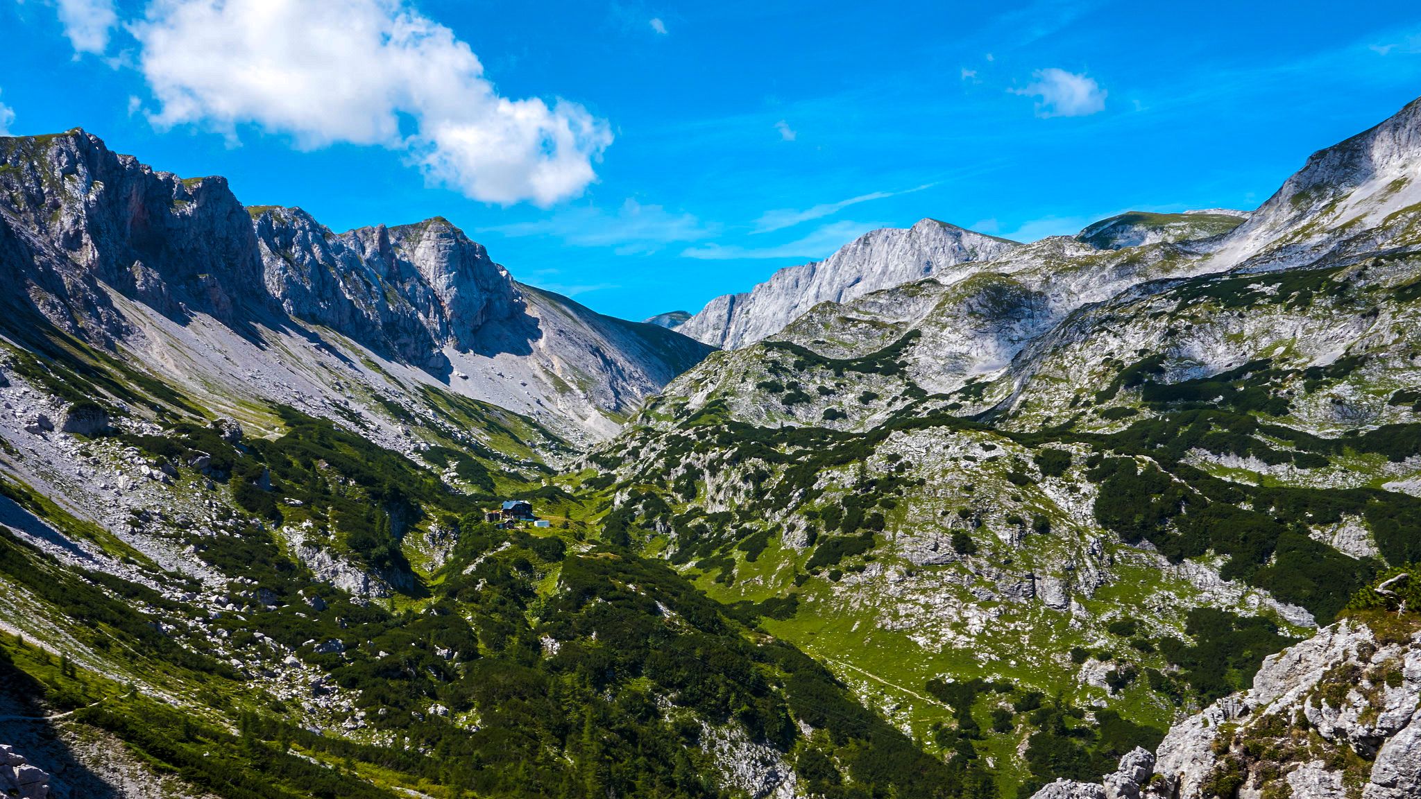
Best natural monuments around Mürzzuschlag are found within the Mürzer Oberland Nature Park, a region characterized by impressive mountain landscapes and untouched natural areas. This area in northeastern Styria covers 226 km² with elevations ranging from 700 to 2007 meters, featuring abundant water resources and excellent water quality. The park is home to numerous rare plant and animal species, finding sanctuary in its various protected areas. These natural jewels are unique creations of nature, often holding cultural-historical significance, and are freely accessible along hiking trails.
Best natural monuments around Mürzzuschlag
- The most popular natural monuments is Preinerwand Summit Cross, a summit and viewpoint. This striking vantage point at 1,783 meters offers views over the Vienna Basin and surrounding valleys.
- Another must-see spot is Luckerte Wand Rock Formation and Viewpoint, an impressive viewpoint with a cave. Located at 1,128 meters above sea level, it provides a panoramic view of the Schneeberg and Rax.
- Visitors also love Hay dome, the highest peak on the Rax at 2,007 meters. A stunning panorama awaits at the summit, which can be reached in a leisurely climb from the Karl-Ludwig-Haus.
- Mürzzuschlag is known for its diverse natural monuments, including summits, rock formations, and waterfalls. The region offers a variety of natural attractions to explore, from high mountain peaks to unique geological features.
- The natural monuments around Mürzzuschlag are appreciated by the komoot community, with more than 170 upvotes and over 120 photos shared by visitors.
Last updated: June 24, 2026
Windberg Summit (Schneealpe)
Highlight • Summit
Translated by Google •
Tip by

Preinerwand Summit Cross
Highlight • Summit
Translated by Google •
Tip by
Sign up now to discover places like this
Get recommendations on the best single tracks, peaks, & plenty of other exciting outdoor places.
Sign up for free
Luckerte Wand Rock Formation and Viewpoint
Highlight • Viewpoint
Translated by Google •
Tip by

Stuhleck Summit
Highlight • Summit
Translated by Google •
Tip by

Hay dome
Highlight • Summit
Translated by Google •
Tip by

Sign up for free to discover even more natural monuments around Mürzzuschlag.
Sign up for free
Already have an account?
Start today with a free account
Your next adventure awaits.
Login or Signup
Popular around Mürzzuschlag
The BergZeitReise – a beautiful long-distance hiking trail across Styria

Discover Styria in Austria on foot – ‘From Glacier to Wine’ North Route
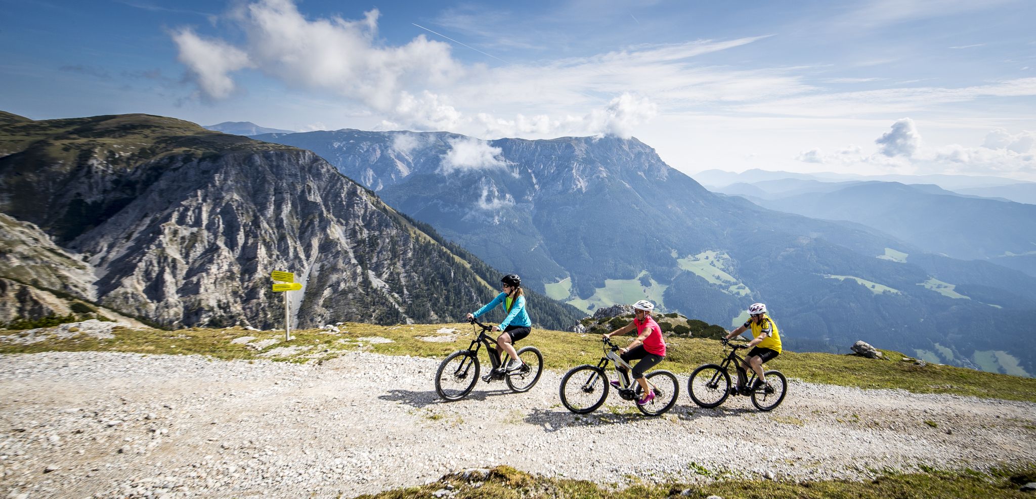
Pleasure mountain biking and adrenaline kicks in Hochsteiermark
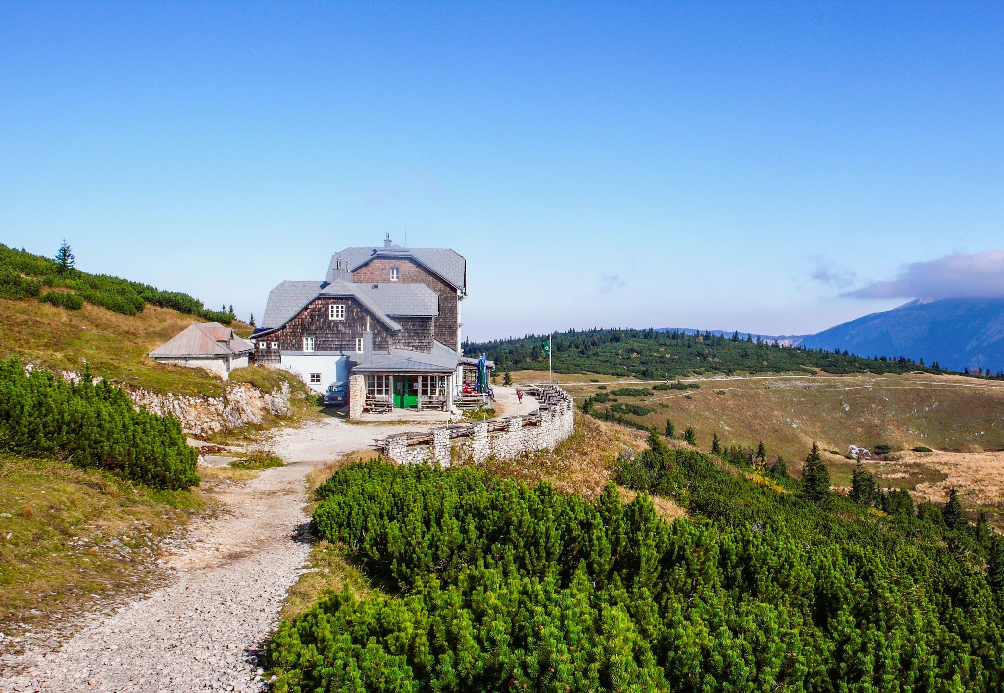
Hut fun in Austria’s Schneebergland
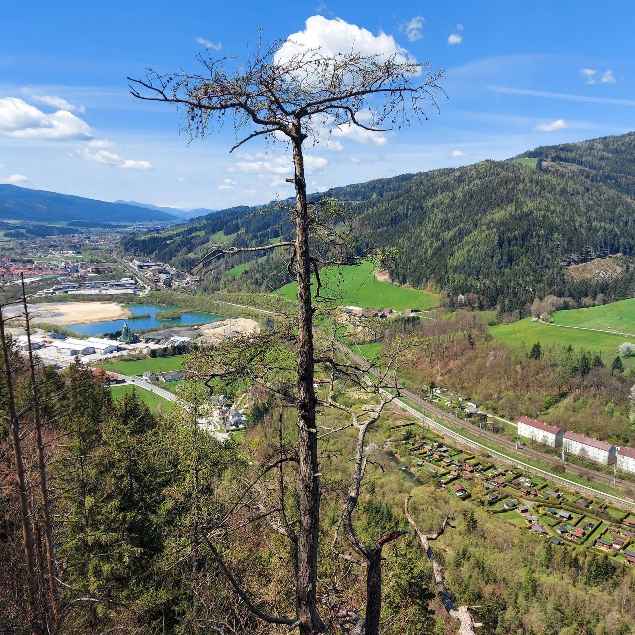
MTB Trails around Mürzzuschlag
Cycling around Mürzzuschlag
Hiking around Mürzzuschlag
Road Cycling Routes around Mürzzuschlag
Running Trails around Mürzzuschlag
Mountain Hikes around Mürzzuschlag
Other adventures around Mürzzuschlag


Tips from the Community

The Heukuppe, at 2,007 meters, is the highest peak in the Rax and marks the easternmost two-thousand-meter peak in the Alps. From the expansive plateau, an unassuming ascent leads to the highest point, rewarding with an impressive panoramic view over the Vienna Alps and far into the Lower Austrian Prealps. Despite the gentle summit shape, you can feel the alpine vastness and the special location on the edge of the Eastern Alps up here.
5
0

Magnificent view from Schneeberg to Gesäuse
0
0
At the Preinerwand Cross (1,783 m), you reach one of the most striking vantage points in the Rax. From here, the view extends far over the Vienna Basin, the surrounding valleys, and, on a clear day, all the way to the peaks of the Alps. An impressive spot that rewards the climb with an unforgettable panorama.
8
0

Great view, challenging to drive, really fun
4
0
Great view, challenging to drive
4
0

The Stuhleck is, together with the Wechsel, one of the easternmost peaks in the Alps that still rises above the tree line. The Alois Günther House is located at the summit. From the Pfaffensattel, a mountain pass (1372 m) between the towns of Rettenegg and Steinhaus am Semmering, an unpaved toll road that is only open in summer leads to the summit. The Alpannonia Central Alpine Trail, an Austrian long-distance hiking trail, also leads up and over the summit. 📖 www.de.wikipedia.org/wiki/Stuhleck
7
1
At 1782 m above sea level, the Stuhleck is the highest mountain in the Fischbach Alps in Styria (Austria). Once you get up here, a fantastic panoramic view awaits you ⛰️
7
1
The Stuhleck is, together with the Wechsel, one of the easternmost peaks in the Alps that still rises above the tree line. The Alois Günther House is located at the summit. From the Pfaffensattel, a mountain pass (1372 m) between the towns of Rettenegg and Steinhaus am Semmering, an unpaved toll road that is only open in summer leads to the summit. The Alpannonia Central Alpine Trail, an Austrian long-distance hiking trail, also leads up and over the summit. 📖 www.de.wikipedia.org/wiki/Stuhleck
11
1
Frequently Asked Questions
What are some unique natural monuments to visit around Mürzzuschlag?
The Mürzzuschlag region, particularly within the Mürzer Oberland Nature Park, offers diverse natural monuments. You can explore impressive summits like Windberg Summit (Schneealpe), which provides extensive panoramic views, or the Stuhleck Summit, one of the easternmost peaks in the Alps above the tree line. For unique geological features, consider the Luckerte Wand Rock Formation and Viewpoint, known for its hole through the rock and stunning vistas.
What kind of natural features can I expect to see in the Mürzzuschlag region?
The natural monuments around Mürzzuschlag showcase a variety of features, including high mountain peaks, striking rock formations, and picturesque waterfalls. The region is characterized by impressive mountain landscapes, abundant water resources, and untouched natural areas. You'll find diverse flora and fauna, especially within the Mürzer Oberland Nature Park.
Are there family-friendly natural monuments in the Mürzzuschlag region?
Yes, several natural monuments are suitable for families. For instance, the Windberg Summit (Schneealpe) is considered family-friendly, offering easier routes for walks in fair weather. The Mürzer Oberland Nature Park generally provides accessible hiking trails that lead to many of its natural jewels, making them enjoyable for all ages.
What is the best time of year to visit the natural monuments in Mürzzuschlag?
The natural monuments around Mürzzuschlag can be visited year-round, with each season offering a different experience. Spring and summer are ideal for hiking and enjoying lush greenery and waterfalls. Autumn brings vibrant foliage and clear views. In winter, areas like the Hay dome on the Rax invite visitors for ski tours and snowshoe hikes, though weather conditions should always be checked.
Are there any caves to explore near Mürzzuschlag?
Yes, the region features some interesting caves. The Luckerte Wand Rock Formation and Viewpoint includes a cave as part of its unique geological structure. Additionally, the Bleiweißgrube Cave, located in Kapellen within the Mürzer Oberland Nature Park, is recognized as a natural monument and offers a glimpse into subterranean formations.
What outdoor activities can I do near these natural monuments?
The Mürzzuschlag area is excellent for various outdoor activities. You can enjoy mountain hikes, with routes like the 'Preiner Gscheid Pass – Karl-Ludwig House (Raxalpe) loop' or 'Heukuppe – Rax Chapel loop'. Cycling and gravel biking are also popular, with routes such as the 'Mürztal Cycle Path' or tours around the Schneealpenhaus. For more details on routes, explore the Mountain Hikes around Mürzzuschlag or Cycling around Mürzzuschlag guides.
Are there hiking trails near the natural monuments?
Absolutely. The natural monuments are often integrated into a network of hiking trails. For example, the Preinerwand Summit Cross is a popular destination accessible via hiking routes. The Mürzer Oberland Nature Park itself is crisscrossed with trails that lead to many of its natural jewels. You can find detailed hiking options in the Mountain Hikes around Mürzzuschlag guide.
Can I bring my dog to the natural monuments and hiking trails?
Many hiking trails and natural areas in the Mürzzuschlag region are dog-friendly. However, it's always advisable to keep dogs on a leash, especially in nature protection areas and near wildlife. Specific regulations might apply in certain parts of the Mürzer Oberland Nature Park, so it's good practice to check local signage.
Are the natural monuments around Mürzzuschlag accessible by public transport?
While some starting points for hikes and attractions might be reachable by public transport, many natural monuments in the Mürzzuschlag region are best accessed by car, followed by a hike. Public transport options vary, so it's recommended to research specific routes and their accessibility before your visit.
Where can I find parking near the natural monuments?
Parking availability varies depending on the specific natural monument. For popular hiking areas and summits, designated parking lots are often available at trailheads or nearby villages. For example, access points to the Schneealpe or Rax massifs typically have parking facilities. It's advisable to check maps or local information for parking options closest to your chosen destination.
What do visitors enjoy most about the natural monuments in Mürzzuschlag?
Visitors frequently praise the breathtaking panoramic views from summits like the Preinerwand Summit Cross and the Hay dome. The untouched natural beauty, the tranquility of the Mürzer Oberland Nature Park, and the diverse hiking opportunities are also highly appreciated. Many enjoy the sense of accomplishment after a climb and the reward of stunning vistas.
Are there any waterfalls to visit in the area?
Yes, the region is home to beautiful waterfalls. The Wasserfall "Totes Weib" (Dead Woman's Waterfall) is a notable natural monument within the Mürzer Oberland Nature Park, offering a picturesque cascading water feature in a natural setting.
Is the Roßlochklamm gorge still accessible?
Unfortunately, the Roßlochklamm gorge, which was previously a notable natural attraction, has been closed since 2023 due to safety concerns regarding rockfalls. It is no longer accessible to visitors.
Most popular routes around Mürzzuschlag
Most popular attractions around Mürzzuschlag

Get inspired with the komoot mobile app


Explore more
Extend your search for the best caves by checking out these guides of the top ones around Mürzzuschlag:
