The best walks and hikes around Lehrberg
4.7
(284)
942
hikers
109
hikes
Hiking trails around Lehrberg traverse a landscape characterized by gentle hills and varied terrain, offering a mix of woodlands, open fields, and small water features. The region is situated in Middle Franconia, providing a blend of natural scenery and historical points of interest. Elevation changes are generally moderate, making the area accessible for a range of hiking abilities. The trails often follow paths through agricultural land and along streams, connecting villages and local landmarks.
Best hiking trails around Lehrberg
- The…
Last updated: October 8, 2026
4.5
(18)
49
hikers
9.15km
02:27
110m
110m
Moderate hike. Good fitness required. Easily-accessible paths. Suitable for all skill levels.
4.2
(18)
41
hikers
7.00km
01:54
100m
100m
Easy hike. Great for any fitness level. Easily-accessible paths. Suitable for all skill levels.

4.5
(13)
48
hikers
11.5km
03:05
140m
140m
Moderate hike. Good fitness required. Easily-accessible paths. Suitable for all skill levels.
4.4
(17)
47
hikers
Hard hike. Very good fitness required. Easily-accessible paths. Suitable for all skill levels.
5.0
(8)
41
hikers
5.10km
01:19
30m
30m
Easy hike. Great for any fitness level. Easily-accessible paths. Suitable for all skill levels.
Get access to more routes and recommendations from other explorers.
Already have an account?
Our route recommendations are based on thousands of hikes, rides, and runs completed by other people on komoot.
Start today with a free account
Your next adventure awaits.

Tips from the Community

Here people also meet in the evenings for the sunset. There are also a few small sights, including a large sundial.
1
0
Here there is not only a bench from which you have a view of the tower and over Lehrberg.
0
0

From Colmberg Castle, there is a beautiful view of the town and the surrounding landscape, a path leads around the castle. In the castle courtyard, there is a hotel and a restaurant with a café. The castle is privately owned.
0
0

According to current knowledge, the Seven Stones near Lehrberg are not a proven prehistoric cult site, but rather a memorial site around which a folk legend has formed. As with many such memorial sites, there are different versions here too. So let's stick with the folk legend indicated on the information board.
0
0


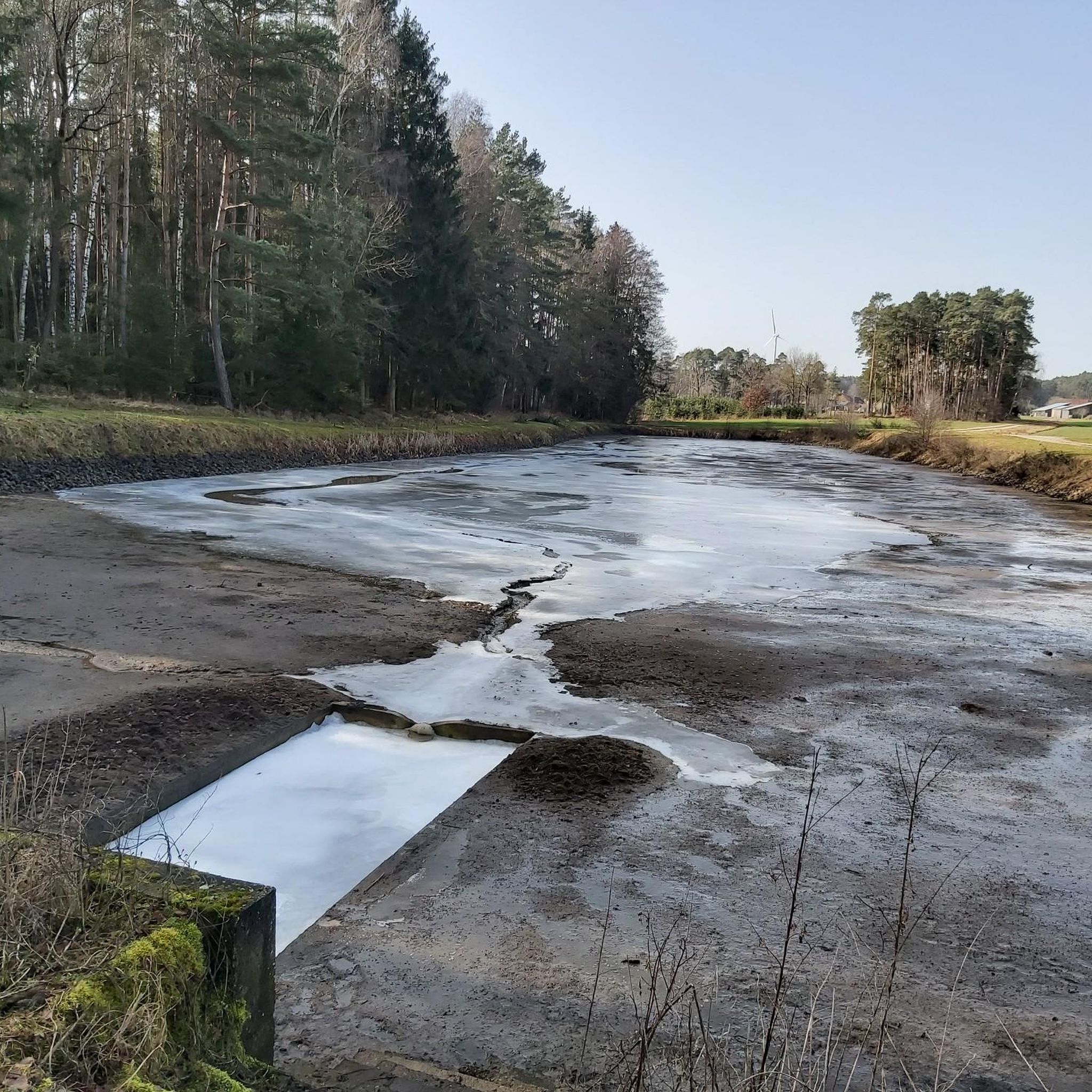
The Höllgraben is a deeply incised stream.
1
0

A cool intersection in the middle of the forest!
0
0
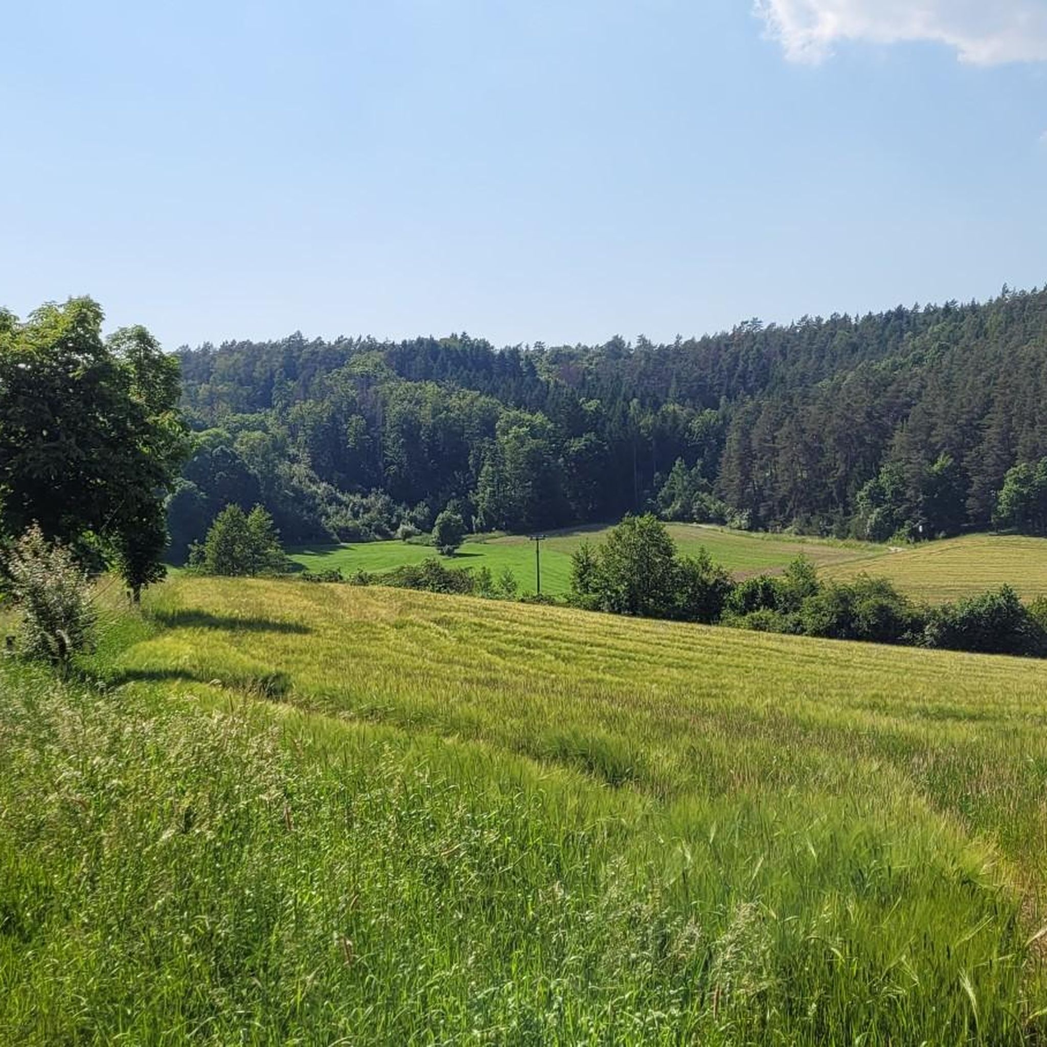
Located right next to the chapel ruins above Lehrberg, this beautiful rest area offers sweeping views of the Rezat Valley—perfect for a short break.
0
0
Frequently Asked Questions
How many hiking trails are available around Lehrberg?
Lehrberg offers a diverse network of over 100 hiking trails. These routes traverse varied landscapes, including woodlands, open fields, and along streams, providing options for different preferences and skill levels.
Are there easy hiking trails suitable for families or beginners in Lehrberg?
Yes, Lehrberg is very family-friendly, with 67 easy trails. A great option is the Seven Stones Memorial – Fohlenhofweiher loop from Lehrberg, an easy 7 km (4.4 miles) path that guides hikers past a memorial and a tranquil pond, perfect for a relaxed outing.
What are some longer or more challenging hiking options in the region?
For those seeking a longer adventure, Lehrberg offers 30 moderate and 3 difficult trails. A notable challenging route is the Through the Dombach Valley – At the Höllgraben loop from Kreuzeiche, which spans nearly 30 km (18.6 miles) and features significant elevation changes through the scenic Dombach Valley.
Are there any circular walks around Lehrberg?
Many of the trails around Lehrberg are designed as circular routes, allowing you to start and end at the same point. For example, the popular St. Jobst Chapel Ruins (Kappl) – Kappl Tower in Lehrberg loop from Brünst is a 9.2 km (5.7 miles) circular trail that includes historical landmarks.
What kind of natural attractions or landmarks can I see on the trails?
The trails around Lehrberg offer a mix of natural beauty and historical points of interest. You can explore features like the Teufelsgraben near Dombach im Loch, a fascinating gorge, or enjoy panoramic views from the Summit cross on the Petersberg. Many routes also provide views of Colmberg Castle.
Is Lehrberg a good destination for winter hiking?
Lehrberg's gentle hills and varied terrain can be suitable for winter hiking, especially on well-maintained paths. However, conditions can vary, so it's always advisable to check local weather forecasts and trail conditions before heading out. Some trails might be less accessible after heavy snowfall.
Are there viewpoints along the hiking trails in Lehrberg?
Yes, several trails offer rewarding viewpoints. For instance, the View of Colmberg Castle – View of Colmberg Castle loop from St. Maria is specifically designed to showcase impressive vistas of Colmberg Castle. You can also find scenic spots like the View of Hechelbach and Unteraltenbernheim from the Summit Cross.
What is the best time of year to go hiking in Lehrberg?
The hiking season in Lehrberg generally extends from spring through autumn. Spring brings blooming wildflowers, while autumn offers vibrant foliage. Summer is also popular, but it's wise to start early to avoid the midday heat. Each season provides a unique experience of the Middle Franconian landscape.
Are there options for parking at the trailheads in Lehrberg?
Parking is generally available near many trailheads and starting points in and around Lehrberg, particularly in the villages and at popular access points. It's recommended to check specific route descriptions on komoot for detailed parking information for your chosen hike.
Can I reach hiking trails in Lehrberg using public transport?
While Lehrberg is primarily accessed by car, some local bus services connect the town with surrounding areas. For specific trail access via public transport, it's best to consult local bus schedules and route information, as direct connections to all trailheads might be limited.
What do other hikers enjoy most about hiking in Lehrberg?
The hiking trails in Lehrberg are highly rated by the komoot community, with an average score of 4.7 stars from over 240 reviews. Hikers often praise the region's mix of woodlands and open fields, the well-maintained paths, and the blend of natural scenery with historical landmarks like the Kappl Tower.
Are there any trails that pass by cafes or places to eat?
Many hiking routes in Lehrberg connect villages and hamlets where you can often find traditional Franconian inns or cafes. While specific cafes are not listed for every trail, planning your route through a village like Lehrberg itself or nearby communities will likely offer opportunities for refreshments.
Most popular attractions around Lehrberg

Get inspired with the komoot mobile app


Explore more
Browse the best Hikes in other regions.
