Top 10 Natural Monuments around Unterstinkenbrunn
Best natural monuments around Unterstinkenbrunn are characterized by the region's unique loess landscapes and cultural heritage. This wine-growing village in Lower Austria features deeply incised hollow paths, which are protected natural features formed by erosion and historical use. These paths offer insights into the area's geological and ecological characteristics, often leading to viewpoints with panoramic vistas. The natural monuments here combine historical significance with diverse ecosystems.
Best natural monuments around Unterstinkenbrunn
- The most popular natural monuments is Ruins of Staatz…
Last updated: June 24, 2026
Mistelquelle (Source of the Mistelbach)
Highlight • Natural Monument
Translated by Google •
Tip by

Calvary Hill
Highlight • Religious Site
An extraordinary sight of the market town of Staatz is the Calvary, the "Holy Mountain" in the town of Enzersdorf, located in the west on the federal highway 46. …
Translated by Google •
Tip by

Sign up now to discover places like this
Get recommendations on the best single tracks, peaks, & plenty of other exciting outdoor places.
Sign up for free
Hanfthaler Our Lady's Chapel
Highlight • Religious Site
Translated by Google •
Tip by

Marienkapelle Unter Alten Linden
Highlight • Religious Site
Translated by Google •
Tip by

Chapel at the Bildeiche
Highlight • Religious Site
Translated by Google •
Tip by

Sign up for free to discover even more natural monuments around Unterstinkenbrunn.
Sign up for free
Already have an account?
Start today with a free account
Your next adventure awaits.
Login or Signup
Tips from the Community

First of all, we would like to thank you for your extremely interesting comments and now share our opinion. As a nature- and culture-friendly community, we have come to the conclusion that the term "desertification" is, in our opinion, a mere exaggeration and that you, dear Mr. Laurenz, have merely used it as a vague umbrella term for the precious, fertile agricultural soil of the Weinviertel. Consider this fountain in this little corner of Eden, but as a timeless testament to the important agricultural advances that have taken place in northern Lower Austria in recent decades. Technical advances in these sectors have revolutionized agriculture and forestry and made life in the countryside easier. Let us leave these primitive times behind us, and with them this spring, which serves as a monument to the past, and look forward with joy to a future full of luxury and abundance.
0
0

The chapel was first mentioned by Schweickhardt von Sickingen in 1833. This was, however, still a wooden chapel, which was renovated in 1843 and 1847.
0
0

http://www.staatz.at/Kalvarienberg_Heiliger_Berg_ An extraordinary sight of the market town of Staatz is the Calvary, the "Holy Mountain" in the town of Enzersdorf, located in the west on the federal highway 46. A Calvary was erected in 1743 on the probable local mountain from the 11th century. The "Holy Mountain" is a mound of earth of unknown origin. Two assumptions: The first assumption says that the mound is a burial mound from the Hallstatt period around 750 BC. The second: it is a local mountain from the 11th century. Both possibilities have already been documented with finds, but not proven with certainty.
2
0
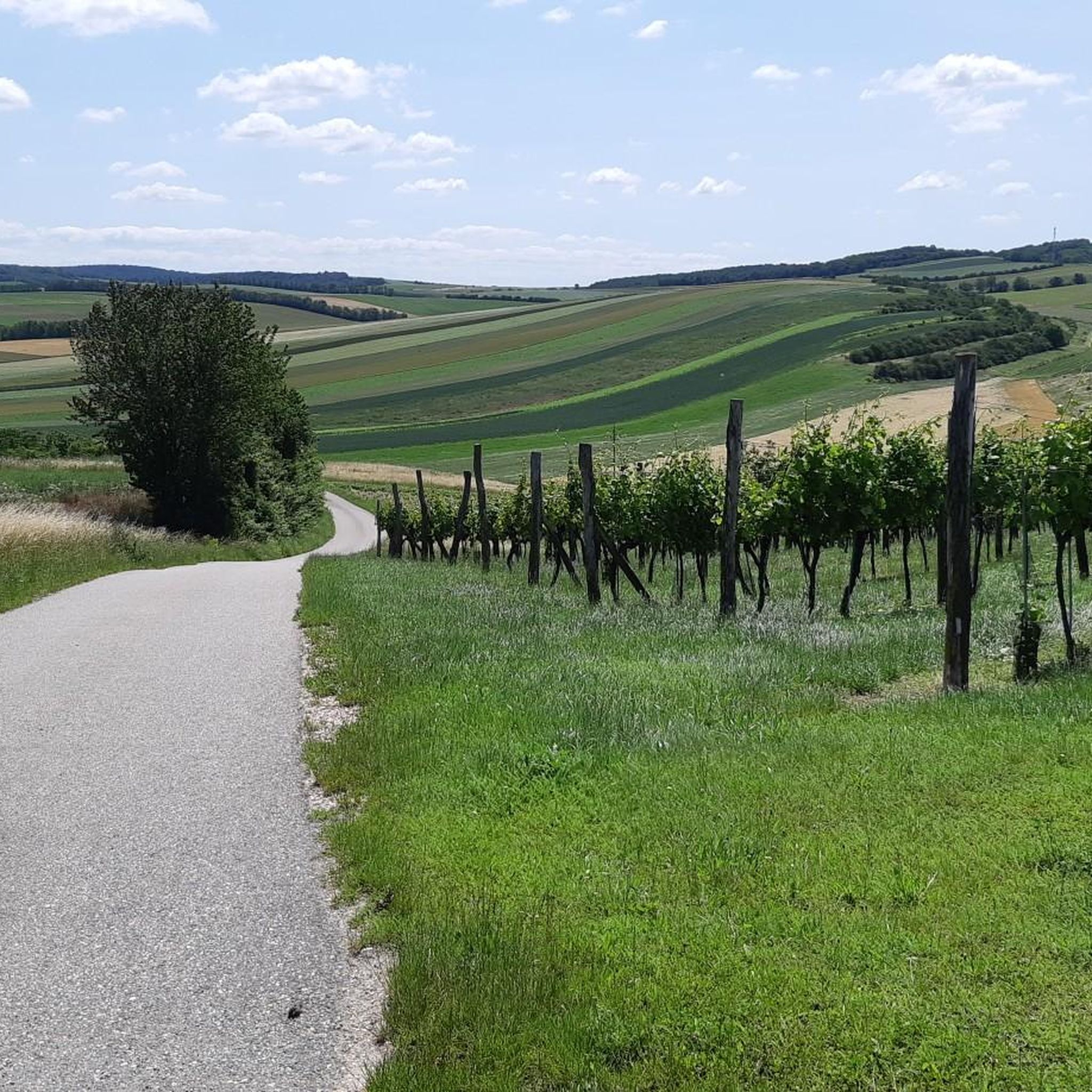
Today, intensive use tends to squeeze the water into narrow, deepened channels already in the spring area – like the mistletoe creek bed. Some Frättingsdorfer still remember the cup that was attached to a string at the spring to invite people to drink. In the meantime, no water is visible in the Mistelbach at the place of the Mistelstein. At around 3 m below the surface, the source area is deeper than in previous years. The small stream begins a little below. Drainage and stream regulation lowered the water level in the ground. A dry microclimate was promoted by rapid water drainage in the regulated stream and the lack of water reservoirs such as meadows. Intensive farming above the mistletoe source without permanent ground cover caused the soil to shift and thus be deposited in the source area.
0
0

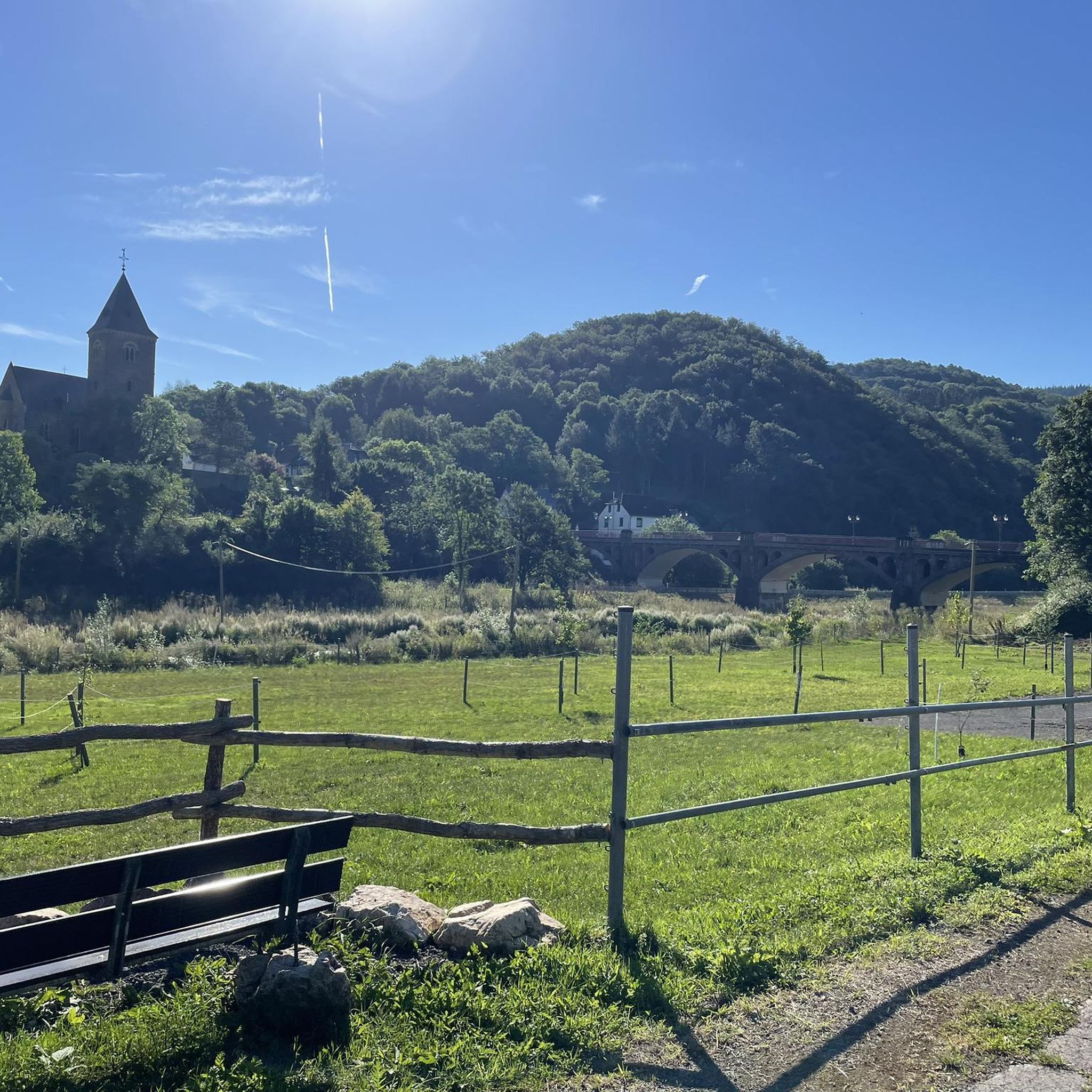
Nice little chapel, right next to the Mühlbach
0
1
In 1847, the Mother of God chapel on the Frauenwiese, which had previously been made of wood, was built in stone by master mason Singer. In 1934 the 4 lime trees were declared a natural monument. In 1983, the chapel was completely renovated with donations. Annual processions are held to the chapel.
1
0

Marienkapelle under old linden trees, at the Thayamühlbach. A nice place for a short rest.
1
0
The Mistel has a catchment area of 41.4 km² and is fed by several feeders.
0
0
Frequently Asked Questions
What are the primary natural monuments to explore in Unterstinkenbrunn?
Unterstinkenbrunn is particularly known for its unique hollow paths (Hohlwege), which are protected natural features. These deeply incised routes, formed by centuries of passage and erosion in the loess landscape, offer both geological and ecological interest. They often lead to scenic viewpoints, such as the "Blaues Kreuz," providing panoramic views across the Laa basin.
Are there any historical natural monuments in the area?
Yes, the Ruins of Staatz Castle and the associated Staatz Castle Ruins and Staatzer Berg are significant historical natural monuments. The castle ruins sit on a 100-meter high limestone cliff, offering expansive views and representing a key geological unit of the Weinviertel. Another historical site is Calvary Hill, an ancient mound with a religious monument, offering historical insights and views.
What kind of geological formations can I see around Unterstinkenbrunn?
The region is characterized by its unique loess landscapes, which are fine, yellowish sediment deposits. These are particularly evident in the formation of the hollow paths. Additionally, the Staatzer Berg features mighty limestone cliffs, which are a distinctive geological unit of the Weinviertel, part of the Waschberg zone.
Are there family-friendly natural monuments or activities in Unterstinkenbrunn?
Yes, several natural monuments are suitable for families. The Hanfthaler Our Lady's Chapel, with its four protected linden trees, is considered family-friendly and is located directly on a bike route. The Mistelquelle (Source of the Mistelbach) is also listed as family-friendly, offering a gentle natural spot, though the spring itself is underground.
What outdoor activities can I do near these natural monuments?
The area around Unterstinkenbrunn is excellent for outdoor activities. You can explore various hiking trails, including easy loops directly from Unterstinkenbrunn. For those interested in cycling, there are numerous bike routes, with the Hanfthaler Our Lady's Chapel being directly on one. Mountain biking enthusiasts can also find trails in the vicinity. For more detailed route information, you can check out the guides for Hiking around Unterstinkenbrunn or MTB Trails around Unterstinkenbrunn.
What is the best time of year to visit the natural monuments in Unterstinkenbrunn?
The hollow paths and other natural monuments in Unterstinkenbrunn offer unique experiences throughout the year. Spring and autumn are ideal for hiking, with pleasant temperatures and vibrant colors. The unique ecosystems of the hollow paths are particularly interesting during these seasons. Guided hikes to the Staatz Castle Ruins are regularly offered from May to October, making this a great period for historical exploration combined with nature.
Are there any unique ecosystems or wildlife to observe in the hollow paths?
Yes, the steep, shaded banks of the hollow paths create unique microclimates that support diverse ecosystems. These conditions provide shelter and specific habitats for a variety of plants and animals, contributing significantly to the local biodiversity. Walking through these paths offers excellent opportunities for nature observation.
Can I combine a visit to the natural monuments with wine culture?
Absolutely. The hollow paths in Unterstinkenbrunn are closely connected to the region's traditional wine culture. They lead to and are often integrated into the cellar villages (Kellergassen), such as the "Loamgrui" cellar village. This allows visitors to combine natural exploration with an immersion into the Weinviertel's wine traditions, including potential visits to local taverns (Buschenschank) when open.
What kind of views can I expect from the natural monuments?
Many natural monuments in the region offer magnificent panoramic views. From the destination of the hollow paths, the "Blaues Kreuz," you can enjoy vast vistas across the Laa basin, extending into the Czech Republic and towards the Staatzer Berg. Similarly, the Ruins of Staatz Castle and Staatzer Berg provide excellent viewing points with expansive views across the Laa plain.
What do visitors enjoy most about the natural monuments around Unterstinkenbrunn?
Visitors particularly appreciate the combination of unique landscapes, historical significance, and the diverse ecosystems found here. The ancient hollow paths offer a sense of stepping back in time, while the panoramic views from spots like the Staatzer Berg are highly valued. The connection to the local wine culture also adds to the overall appeal, making for a rich and varied experience.
Are there any guided tours or special events related to the natural monuments?
Yes, regular guided hikes to the Staatz Castle Ruins and Staatzer Berg are offered from May to October, typically every Sunday at 3 p.m. These hikes provide insights into the region's history. Additionally, a Betty Bernstein family hike is offered on the last Sunday of every month at 3 p.m. It's advisable to check local schedules for specific dates and booking information.
How long does it typically take to explore the hollow paths?
The duration of exploring the hollow paths can vary depending on your chosen route and pace. Many paths are integrated into local hiking loops. For example, there's an easy hiking loop from Unterstinkenbrunn that covers approximately 6.5 km, which could take a couple of hours to complete at a leisurely pace, allowing time to appreciate the unique environment and views.
Most popular attractions around Unterstinkenbrunn

Get inspired with the komoot mobile app


Explore more
Extend your search for the best caves by checking out these guides of the top ones around Unterstinkenbrunn:
