Top 4 Mountain Passes around St. Andrä-Wördern
Best mountain passes around St. Andrä-Wördern are found in a region of Lower Austria situated between the Danube River and the Vienna Woods. This area features elevated routes, scenic climbs, and viewpoints that provide experiences similar to traditional mountain passes. The landscape offers a variety of terrain for outdoor activities, including challenging ascents and panoramic vistas.
Best mountain passes around St. Andrä-Wördern
- The most popular mountain passes is Tulbingerkogel climb, a climb that offers a panorama over Weidlingbach. This…
Last updated: May 11, 2026
Tulbingerkogel climb
Highlight (Segment) • Climb
Translated by Google •
Tip by

Riederberg Serpentines
Highlight (Segment) • Mountain Pass
Translated by Google •
Tip by

Sign up now to discover places like this
Get recommendations on the best single tracks, peaks, & plenty of other exciting outdoor places.
Sign up for free
Riederberghöhe (417 m)
Highlight • Mountain Pass
Translated by Google •
Tip by

Flachbergstraße – pure nature
Highlight • Mountain Pass
Translated by Google •
Tip by

Sophienalpe–Exelberg Section
Highlight (Segment) • Cycleway
Translated by Google •
Tip by

Start today with a free account
Your next adventure awaits.
Login or Signup
Popular around St. Andrä-Wördern
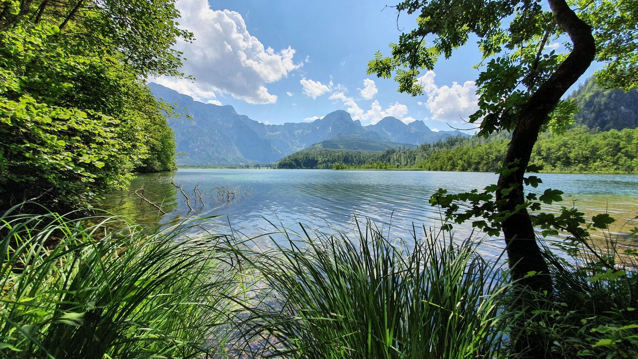
Voralpenweg 04 – From Vienna to Bad Reichenhall
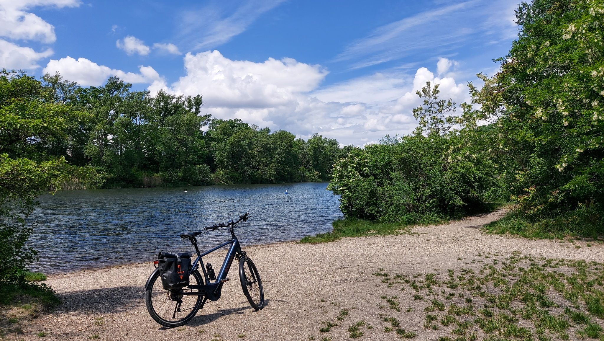
The most beautiful bathing spots around Vienna
Hiking around St. Andrä-Wördern
Road Cycling Routes around St. Andrä-Wördern
Cycling around St. Andrä-Wördern
Running Trails around St. Andrä-Wördern
MTB Trails around St. Andrä-Wördern
Gravel biking around St. Andrä-Wördern

Mountain Hikes around St. Andrä-Wördern
Other adventures around St. Andrä-Wördern


Tips from the Community

From here you can start hikes in all directions. The Wienerwald long-distance hiking trail 404 runs through here, which is unfortunately no longer maintained, and the Great Tullnerfeld circular hiking trail 475 also crosses the road, and the Way of St. James also passes not far away.
3
0

Hiking trail crosses B1. There is a bus stop but unfortunately no restaurant (as of May 2023)
2
0

Nice climb over Weidlingbach with a very nice panorama and then a quick descent with casual curves towards Tulln.
1
0

There are many beautiful routes over the Vienna Woods hills to the Tullnerfeld. This one is the least recommendable one for me: a lot of traffic, which usually thunders past you quickly on the straight stretch and too narrowly when there is oncoming traffic, several trucks... Nope. Then rather Passauerhof or Königstetten or Irenental or Rauchengern or Geigelberg etc.
1
0

Easy climb, but you have to expect traffic, after all you are driving along the federal highway 1/
1
0
Crisp increase, contrary to the name.
0
0

Absolute Vienna classic. If you haven't ridden here, you don't ride a racing bike in Vienna :)
1
0
The Flachberg, one could say, is the Koppenberg of the Tullnerfeld. It's not quite as steep, but just as straight as the mythical ascent in East Flanders. However, one key feature is missing here: the cobblestones. The Tullnerfeld (or Tullner Basin) reaches heights of between 200 and 170 meters. The Flachberg stands out noticeably with a height of 291 meters. Flachberg is the name of the place in the municipality of Sieghartskirchen, which is also the apex of the pass.
0
0
Frequently Asked Questions
What kind of mountain pass experiences can I expect around St. Andrä-Wördern?
The region around St. Andrä-Wördern, nestled between the Danube River and the Vienna Woods, offers elevated routes, scenic climbs, and viewpoints rather than traditional high alpine passes. You'll find challenging ascents, panoramic vistas, and routes popular with cyclists and hikers, providing a similar experience to mountain passes.
Which mountain passes offer the best panoramic views?
For stunning views, the Tulbingerkogel climb is highly recommended. It offers a beautiful panorama over Weidlingbach and the Tullnerfeld. Additionally, the Flachbergstraße – pure nature provides views over rolling hills and into the Danube valley.
Are there any challenging climbs for road cyclists?
Yes, the Tulbingerkogel climb is known for its challenging ascent, with gradients briefly reaching over 11%. The Hadersfeld Climb, though not a traditional pass, is also a popular and challenging route for road cyclists in the area, offering a steep initial ascent that eases into rolling terrain.
What are some popular hiking trails near these elevated routes?
You can find several popular hiking trails in the vicinity. A significant and popular route is through the Hagenbachklamm gorge in the Vienna Woods, which involves considerable elevation changes. For more options, explore the hiking guide for St. Andrä-Wördern, which includes routes like the moderate 16.9 km 'Through the Hagenbachklamm gorge - Vienna Woods'.
Are there any routes suitable for mountain biking?
Yes, the region offers mountain biking opportunities. For example, the 'Redlingerhütte – Redlinger–Hadersfeld Trail loop from St. Andrä-Wördern' is a moderate 17.7 km MTB route. You can find more trails in the MTB Trails around St. Andrä-Wördern guide.
What is the best time of year to visit the mountain passes and elevated routes?
The best time to visit for outdoor activities like hiking and cycling is typically from spring through autumn (April to October), when the weather is mild and the trails are clear. Summer offers lush greenery, while autumn brings beautiful foliage. Winter can be suitable for specific winter hiking, but some routes might be less accessible due to snow or ice.
Are there any historical or cultural points of interest along these routes?
While the focus is on natural beauty and outdoor activity, some routes pass by points of interest. For instance, the Wolfpassinger Kreuz offers a great view and is part of a longer hiking trail. Further afield, the Hermannskogel features the Habsburgwarte, an observation tower built in 1888 in the form of a medieval defense tower, offering expansive views.
What do visitors enjoy most about the mountain passes and climbs in this area?
Visitors particularly appreciate the diverse landscape, from challenging ascents to serene natural sections. The panoramic views, especially from spots like the Tulbingerkogel, are a major draw. Cyclists enjoy the varied terrain, including curvy sections like the Riederberg Serpentines, and the opportunity to immerse themselves in the Vienna Woods.
Are there any less-trafficked or 'hidden gem' routes?
The Flachbergstraße – pure nature is noted as a fantastic alternative to other roads, offering scenic views between fields and into the Danube valley, making it a quieter option for those seeking pure nature. The Sophienalpe–Exelberg Section is also described as a low-traffic ascent and descent with breathtaking views.
Can I combine these elevated routes with longer-distance trails?
Yes, some of these points connect with longer trails. For example, the Riederberghöhe (417 m) is a starting point for hikes in all directions, with the Wienerwald long-distance hiking trail 404 and the Great Tullnerfeld circular hiking trail 475 crossing through, and the Way of St. James also passing nearby.
Are there any specific cycling routes that include these climbs?
Absolutely. For road cyclists, the 'Irenental – Tulbingerkogel climb loop from St. Andrä-Wördern' is a difficult 88.5 km route that incorporates the challenging Tulbingerkogel climb. You can find more cycling options in the Road Cycling Routes around St. Andrä-Wördern guide.
What facilities are available near the mountain passes?
Facilities can vary. While some points like the Riederberghöhe (417 m) have a bus stop, it's noted that there isn't a restaurant directly there as of May 2023. It's advisable to check specific highlight details or plan your route to include stops in nearby towns for refreshments and amenities.
Most popular routes around St. Andrä-Wördern
Most popular attractions around St. Andrä-Wördern

Get inspired with the komoot mobile app


Explore more
See even more epic mountain passes by checking out these guides around St. Andrä-Wördern:
