Top 7 Bike Parks around Hohenwarth-Mühlbach a.M.
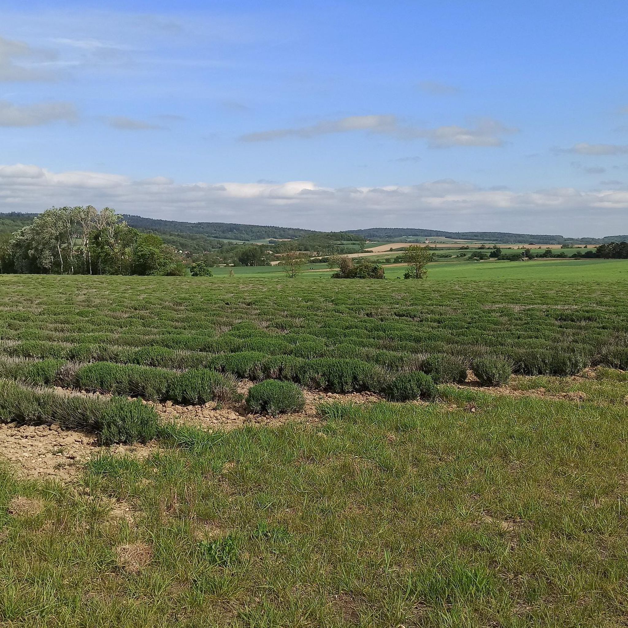
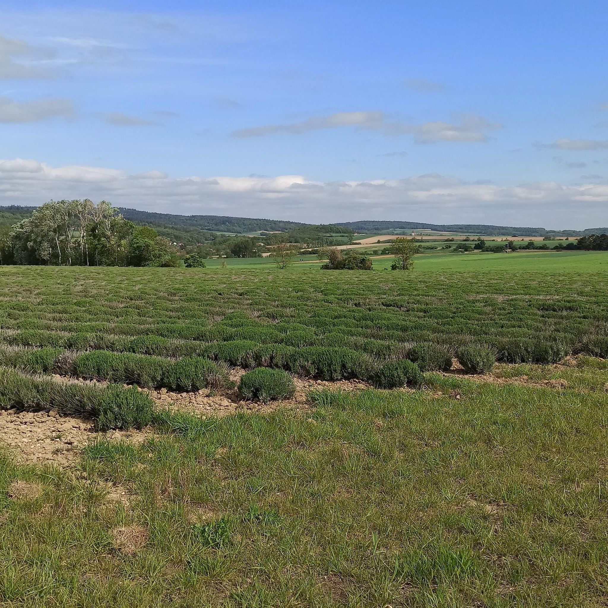
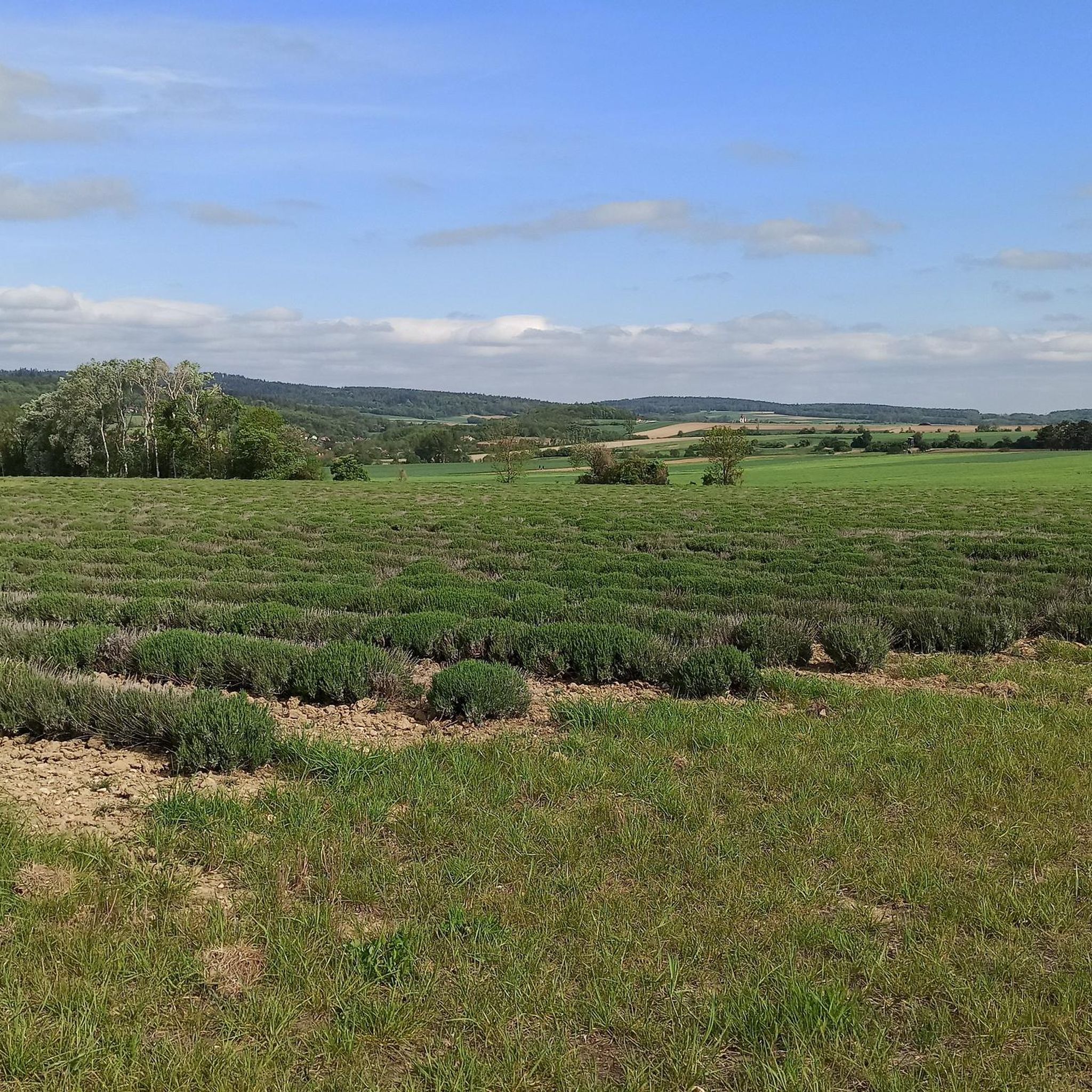
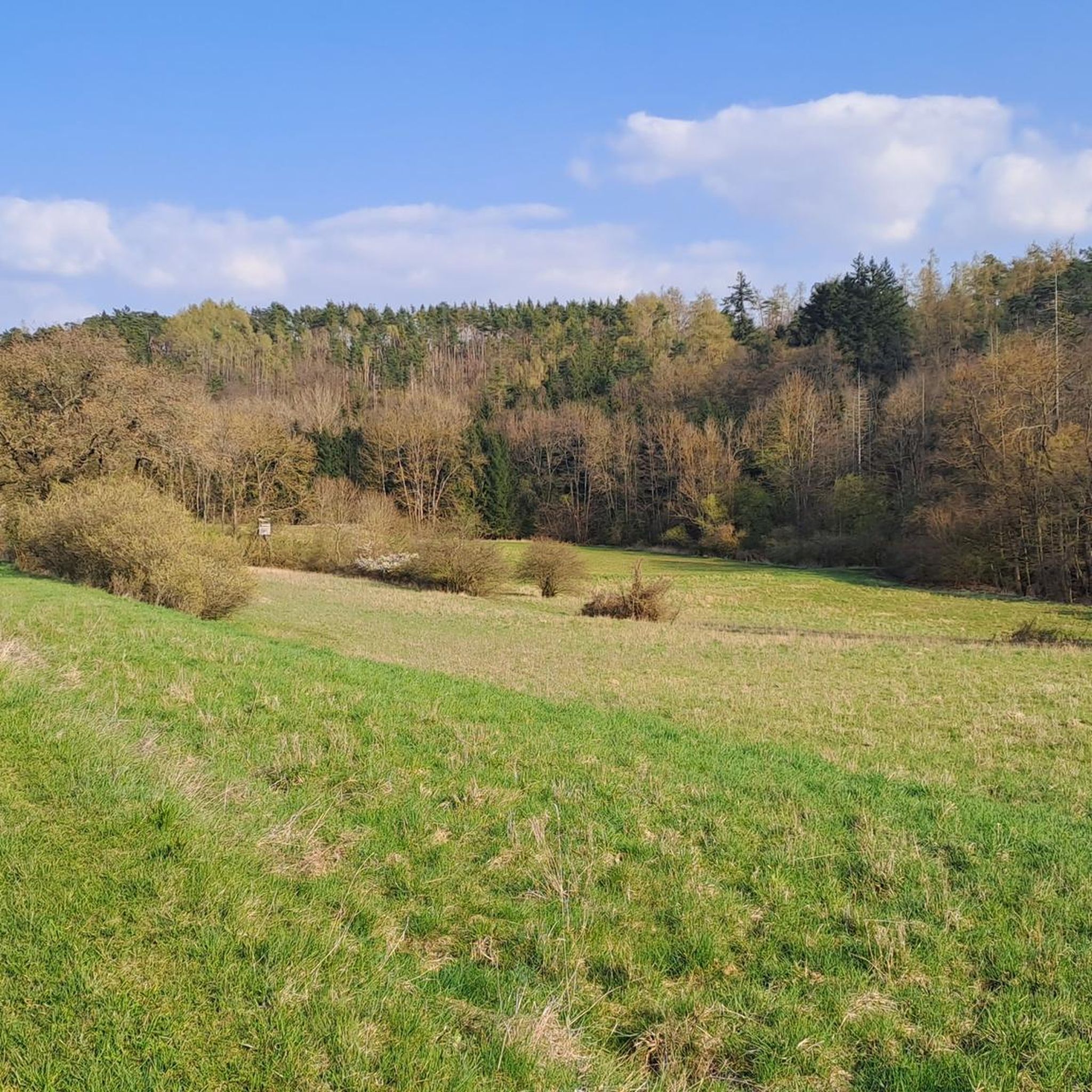
Best bike parks around Hohenwarth-Mühlbach a.M. are characterized by a diverse landscape of gently rolling hills, dense forests, and picturesque vineyards. The region, situated at the transition between the Waldviertel and Weinviertel regions of Lower Austria, offers an extensive network of mountain biking trails. These routes traverse varied terrain, providing opportunities for different skill levels. Riders can explore a mix of forest paths and single trails, enjoying scenic beauty and expansive vistas.
Best bike parks around Hohenwarth-Mühlbach a.M.
- The most…
Last updated: May 27, 2026
Iso Line Mountain Bike Trail (Trailwerk Weinviertel)
Highlight • MTB Park
Translated by Google •
Tip by

Bachlweg Downhill Trail
Highlight (Segment) • Trail
Translated by Google •
Tip by

Sign up now to discover places like this
Get recommendations on the best single tracks, peaks, & plenty of other exciting outdoor places.
Sign up for free
MTB Downhill to Stiefern
Highlight (Segment) • MTB Park
Translated by Google •
Tip by

Helmet Requirement at Bike Park
Highlight • MTB Park
Translated by Google •
Tip by
Uphill Trail
Highlight (Segment) • Trail
Translated by Google •
Tip by
Sign up for free to discover even more bike parks around Hohenwarth-Mühlbach a.M..
Sign up for free
Already have an account?
Start today with a free account
Your next adventure awaits.
Login or Signup
Popular around Hohenwarth-Mühlbach a.M.
Tips from the Community

Great descent, it is part of the Zweigelt MTB trail.
0
0

This is supposed to be a downhill track??? Ridiculous
0
0

Never without a helmet, that's true of course, but I couldn't find this sign anywhere? This trail photo is probably not from here either...
0
0
The uphill runs along here back up to the start of the trail. Thanks to the 900 meter length, the 50 meters of elevation are well distributed and the climb is easy to manage.
0
0
Beautiful, built line that was built by the "Trailwerk Weinviertel". The route is classified as "blue" easy and should therefore also be suitable for beginners. There is a drop, which can be avoided using the "chicken line". The two tables at the end, after the valley station of the lift, are definitely not for beginners! But the route is great fun for all experts, especially because of the many jumps. Further routes are still being planned and are already being built. The lift would also of course be suitable as a tow, if that ever happens...
2
0

I couldn't figure out exactly where the downhill is, especially since the section specified runs constantly along the stream. But the many stream crossings really put you in a good mood.
2
0

Become a member and leave :-)
1
0

Entry to Tautendorf (Bachlweg) seven times you have to go through the creek, you have to take spare shoes with you, but a great experience
2
2
Frequently Asked Questions
What kind of bike parks can I expect around Hohenwarth-Mühlbach a.M.?
While Hohenwarth-Mühlbach a.M. doesn't feature traditional bike parks with highly constructed downhill tracks, the region offers an extensive network of natural mountain biking trails. These trails traverse diverse landscapes, including gently rolling hills, dense forests, and picturesque vineyards, providing varied terrain for different skill levels.
Are there trails suitable for beginners or less experienced riders?
Yes, the region caters to various skill levels. For instance, the Iso Line Mountain Bike Trail (Trailwerk Weinviertel) is classified as 'blue' easy, with options like a 'chicken line' to avoid drops, making it suitable for beginners. Even the challenging MTB Downhill to Stiefern can offer a manageable challenge for less experienced riders.
What are some popular mountain biking trails in the area?
Among the popular trails, you'll find the Bachlweg Downhill Trail, known for its fun stream crossings. Another favorite is the Iso Line Mountain Bike Trail (Trailwerk Weinviertel), a well-built line with options for both easy riding and jumps for experts. The MTB Downhill to Stiefern also offers a challenging ride with scenic viewpoints.
What kind of terrain will I encounter on the mountain biking trails?
The trails around Hohenwarth-Mühlbach a.M. offer diverse terrain, including a mix of forest paths, single trails, and sections that wind through vineyards and rolling hills. You'll experience varied landscapes, from dense forests to open vistas, providing a rich and engaging riding experience.
Are there any uphill trails for mountain bikers?
Yes, there are dedicated uphill sections. For example, the Uphill Trail is an intermediate route that runs for 900 meters with 50 meters of elevation, making for an easily manageable climb back to the start of other trails.
What safety precautions should I take when mountain biking here?
Safety is paramount. Always wear a helmet when mountain biking. While specific signage might vary, the general rule of 'never without a helmet' applies to all trails, including those around Hohenwarth-Mühlbach a.M.
What other outdoor activities can I do near the bike trails?
Beyond mountain biking, the region offers a variety of outdoor activities. You can explore numerous cycling routes for touring bikes, such as the 'Hollenstein Chapel – Braunsdorf Castle loop from Großmeiseldorf'. There are also many running trails, like the 'Kamptal Cycle Path – Bridge Over the Kamp loop from Schönberg am Kamp', and road cycling routes, including the 'Forest Road Ronthal – Winding Road to Neudegg loop from Katastralgemeinde Elsarn'. You can find more details in the Cycling around Hohenwarth-Mühlbach a.M., Running Trails around Hohenwarth-Mühlbach a.M., and Road Cycling Routes around Hohenwarth-Mühlbach a.M. guides.
What do visitors enjoy most about the mountain biking experience in Hohenwarth-Mühlbach a.M.?
Visitors frequently praise the diverse terrain and scenic beauty. The blend of forested areas and vine-covered landscapes, along with numerous viewpoints, creates a unique backdrop for rides. Trails like the Bachlweg Downhill Trail are noted for putting riders 'in a good mood' with features like stream crossings, while the Iso Line Mountain Bike Trail (Trailwerk Weinviertel) is highlighted for being 'great fun for all experts' due to its many jumps.
Are there any specific features on the trails that stand out?
Yes, some trails have unique features. The Bachlweg Downhill Trail, for instance, is known for its multiple stream crossings, requiring riders to navigate through water. The Iso Line Mountain Bike Trail (Trailwerk Weinviertel) features a built line with jumps for experienced riders and a 'chicken line' for those who prefer to avoid drops.
Can I find trails with good viewpoints in the area?
Yes, some mountain biking trails offer excellent viewpoints. The MTB Downhill to Stiefern is a challenging trail that includes a viewpoint, allowing riders to enjoy expansive vistas of the surrounding landscape.
What is the best time to visit Hohenwarth-Mühlbach a.M. for mountain biking?
The region's mountain biking trails are generally best enjoyed during the warmer months, from spring through autumn, when the weather is mild and the trails are dry. This allows for optimal riding conditions through the forests and vineyards. Winter mountain biking is possible but may be affected by snow and ice.
Most popular routes around Hohenwarth-Mühlbach a.M.
Most popular attractions around Hohenwarth-Mühlbach a.M.

Get inspired with the komoot mobile app


Explore more
Still looking for your perfect bike park? Check out our guides in these places:
