Top 5 Mountain Passes around Göfis
Best mountain passes around Göfis offers access to the diverse alpine landscapes of Vorarlberg, Austria. The municipality of Göfis serves as a starting point for exploring various mountain passes in the wider region. These passes provide opportunities for scenic drives, cycling, and hiking amidst mountain panoramas. The area is characterized by its natural setting, with nearby gorges and trails complementing the more extensive alpine routes.
Best mountain passes around Göfis
- The most popular mountain passes is Gaflei Saddle, a…
Last updated: October 11, 2026
Gaflei Saddle
Highlight • Mountain Pass
Translated by Google •
Tip by

Saroja Pass (Liechtenstein–Austria)
Highlight • Mountain Pass
Sign up now to discover places like this
Get recommendations on the best single tracks, peaks, & plenty of other exciting outdoor places.
Chimney to Bargällasattel
Highlight • Mountain Pass
The climb is currently (Sept 2018) complicated by a rockfall. Some "bridges" are torn away and you run over scree.
Translated by Google •
Tip by

Push-and-carry section at Saroja Saddle
Highlight (Segment) • Trail
Translated by Google •
Tip by

Ascent to Faschinajoch from Thüringen
Highlight (Segment) • Mountain Pass
Translated by Google •
Tip by

Sign up for free to discover even more mountain passes around Göfis.
Already have an account?
Start today with a free account
Your next adventure awaits.
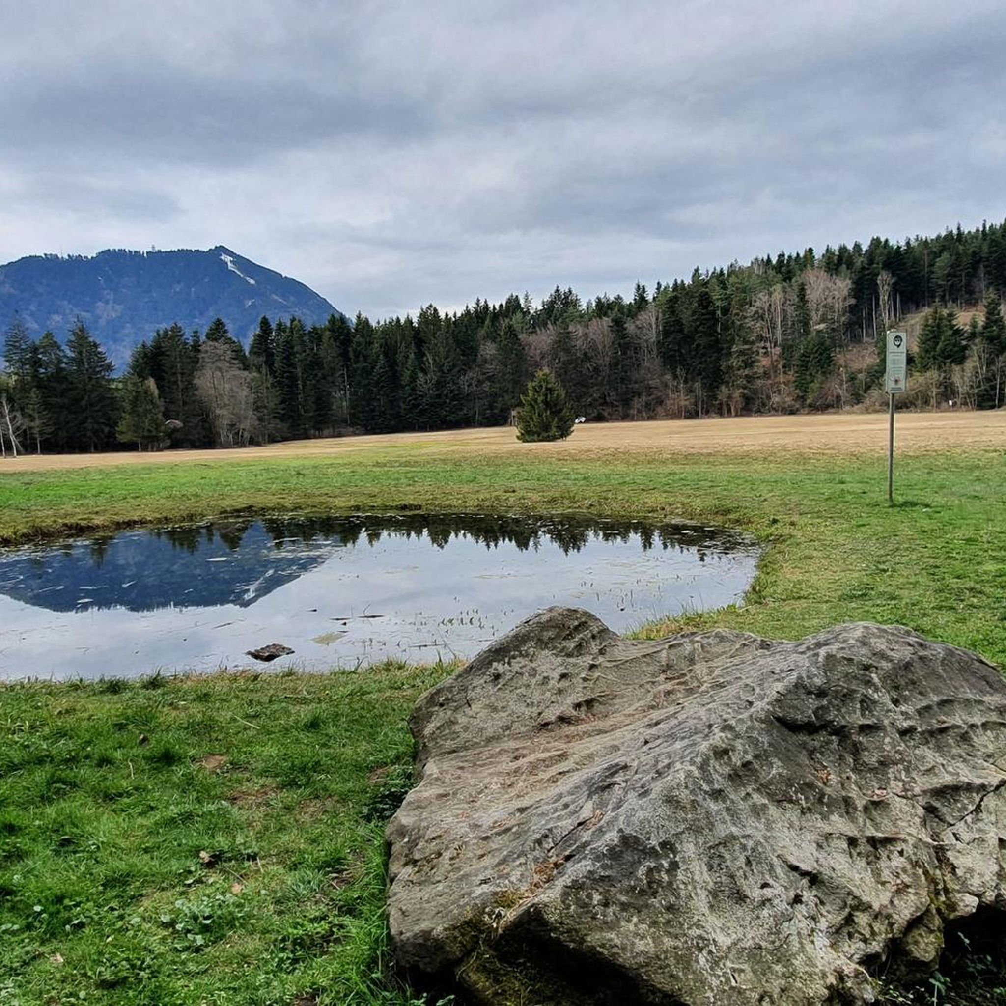
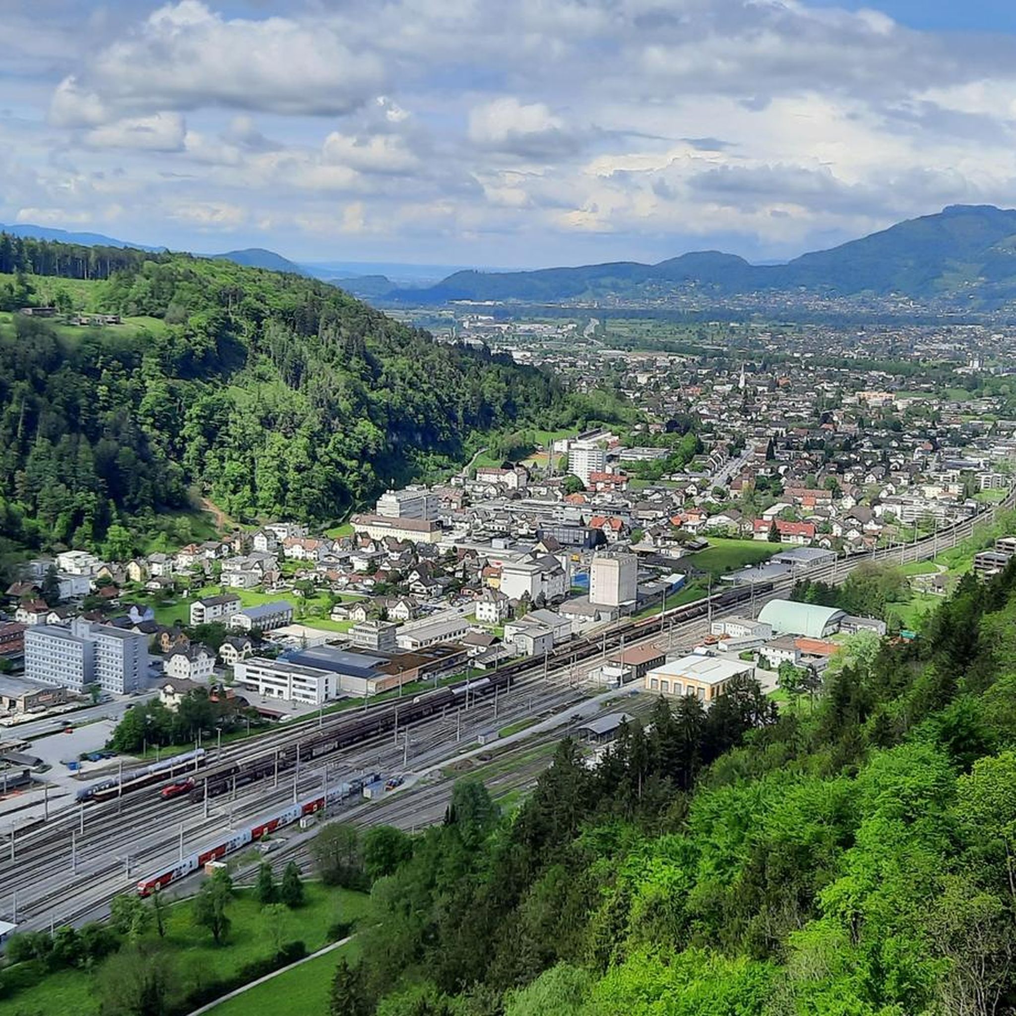
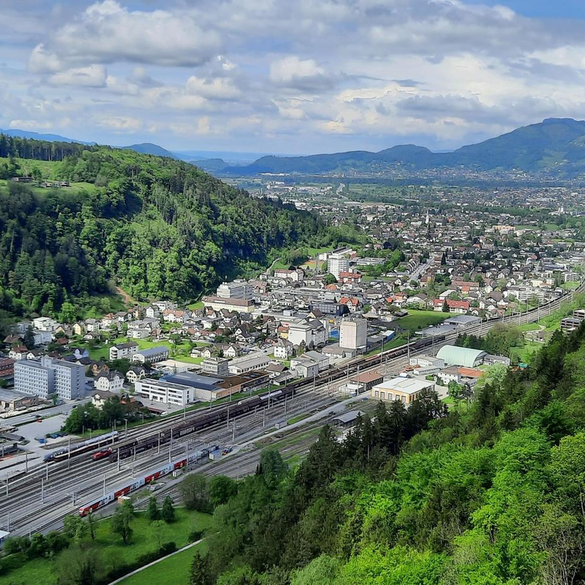
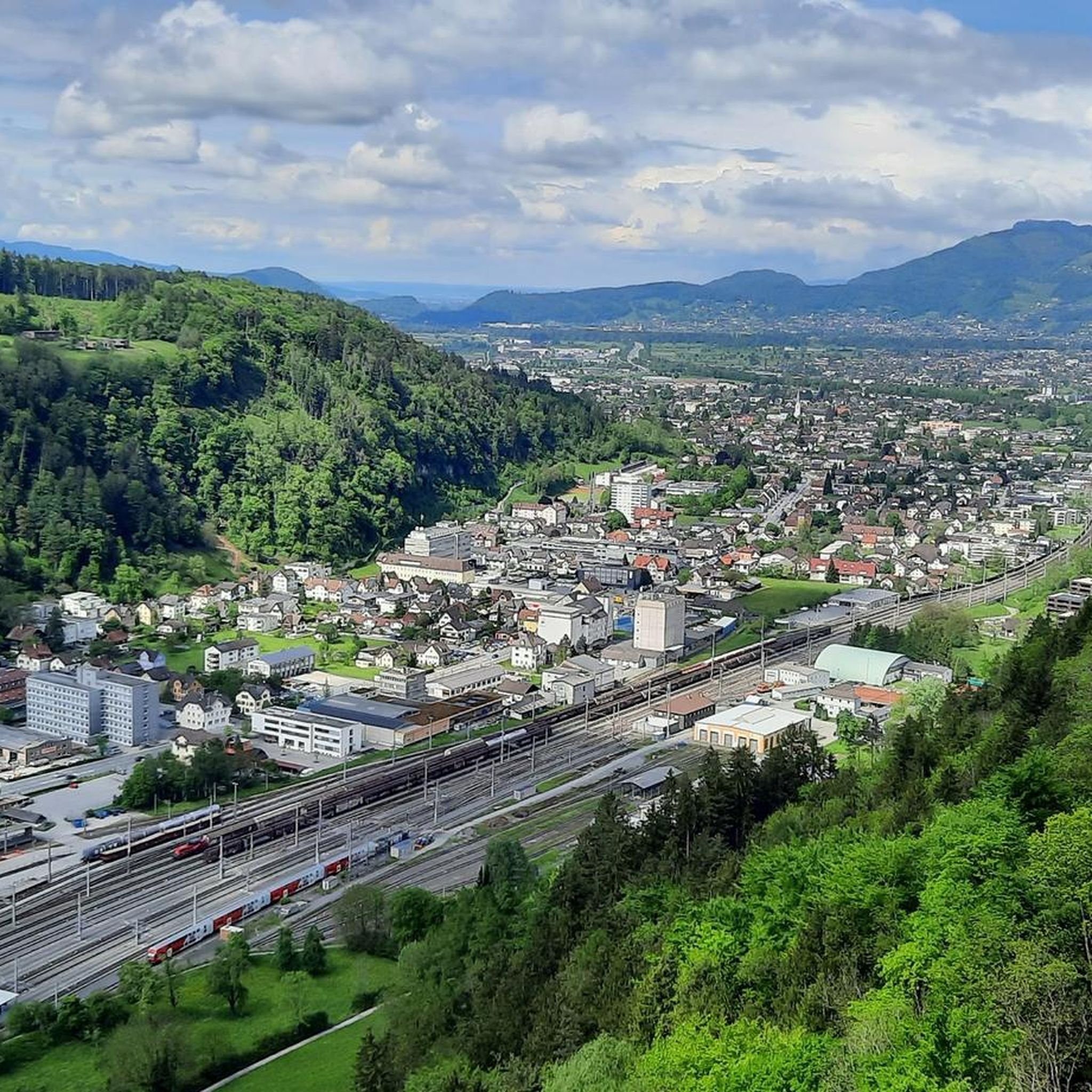

Tips from the Community

I pushed 75%. It's not worth it. It's no fun. For me it's harder than S3.
0
0


A beautiful, approximately 21-kilometer climb from Thüringen to the Faschinajoch. One of several routes to the top. The first few kilometers are quite tough, but shortly after St. Gerold, things ease off a bit. The real challenge, however, awaits towards the end – be sure to save enough energy for that!
1
1

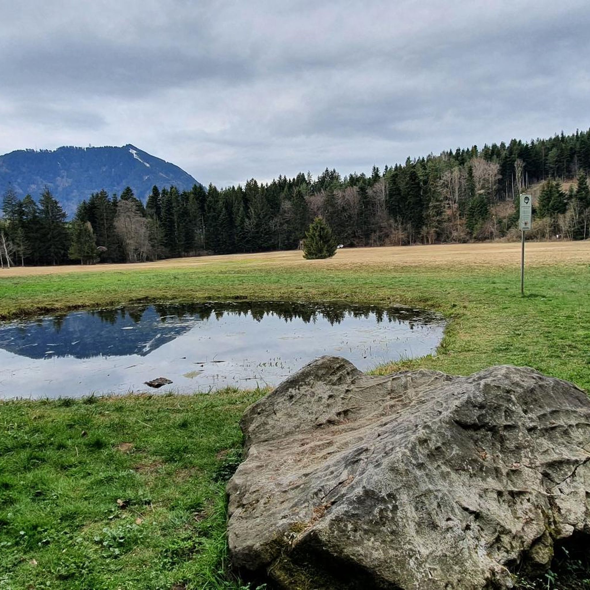
The Saroja Saddle is located on the border between Liechtenstein and Austria on the northern foothills of the Three Sisters. The saddle is at 1,650 meters.
1
1


This is a great experience but be careful of the cliffs https://heardle-wordle.com/
1
0

Sarojasattel Border Pass (FL/A) at 1628 m Alpine area and border pass (FL/A) on the northern spur of the Dreischwestern massif. Between the Plankner Alp Gafadura and the Alp Sarjoa on the east side of the ridge (municipality of Frastanz, Vorarlberg, 1477 m a.s.l.) lies the Sarojasattel at 1628–1650 m a.s.l., extending over Planken, Eschen and Frastanz. First mentioned in 1319 (Soloyen) as a border point of a peace zone decreed by Duke Leopold of Austria. According to the Montfort-Feldkircher Urbar (1363), Walsers from "Sologen" (Saroja) paid a monetary rent, which is interpreted as an indication of settlement in the area lasting until the mid-15th century. In 1416, the Alp Saroja, then belonging to Uli Vogt, came into the possession of the municipality of Frastanz through an exchange. The Plankner secured a right of way over Saroja to their Alp Garselli. The Brandisische Urbar (around 1510) lists the Alp Saroja – although belonging to the municipality of Frastanz – among the alpine pastures of the County of Vaduz; until 1858, Vogelmolken from Saroja had to be paid to the Liechtenstein sovereign. Despite the steepness and inaccessibility of the terrain, the Sarojasattel (pass Schaan–Planken–Amerlügen–Frastanz) had a certain military significance, and in the Middle Ages, as a connection between the County of Vaduz and the County of Sonnenberg, possibly also a commercial one. In the Swabian War of 1499, Uli Mariss from Schaan is said to have led 2000 Confederates over this pass into the flank of the Austrian army, thereby enabling their victory in the Battle of Frastanz (20.4.1499). In the Coalition Wars, imperial troops fled from the French to Saroja in 1799 and built a 300 m long defensive structure (trenches) in the northern part of the pass (Frastanzeregg). Saroja was repeatedly important for smuggling and escape. Text / Qurllr: Author: Oliver Stahl | Status: 31.12.2011 file:///C:/Users/Paul%20Kaiser/Downloads/Saroja.pdf
14
1

The paths are excellently prepared, at this point a thank you to those who keep the paths in good shape year in and year out ... great work
3
0
Frequently Asked Questions
What are some of the most popular mountain passes around Göfis?
Among the most appreciated mountain passes are Gaflei Saddle, known for its excellent paths and expansive views over the valley. Another popular choice is Saroja Pass (Liechtenstein–Austria), an intermediate pass with historical significance and views of the Dreischwestern massif. For those seeking a challenge, Chimney to Bargällasattel offers fantastically beautiful scenery through a ravine.
What natural features can I expect to see on the mountain passes near Göfis?
The mountain passes in the region offer diverse natural beauty. You'll find spectacular alpine backdrops, lush meadows, and rugged rock formations. Passes like the Hochtannberg Pass provide views of the Lechtal and Allgäu Alps, and a short detour leads to the tranquil Kalbelesee lake. Other passes, such as the Chimney to Bargällasattel, feature dramatic gorges and panoramic viewpoints.
Are there any historical sites among the mountain passes around Göfis?
Yes, the Saroja Pass (Liechtenstein–Austria) is a significant historical site. Located at 1,650 meters on the border between Liechtenstein and Austria, it has a rich history, including military importance during the Swabian War and Coalition Wars, and was historically a route for smuggling and escape.
What do visitors enjoy most about the mountain passes near Göfis?
Visitors frequently praise the well-maintained trails and the super nice views over the valleys, especially at places like Gaflei Saddle. The fantastically beautiful scenery and the challenging yet rewarding terrain, even after rockfalls, are also highly appreciated, as seen with the Chimney to Bargällasattel.
What is the best time to visit the mountain passes around Göfis?
The summer season is ideal for exploring the mountain passes, offering opportunities for hiking, biking, canyoning, rafting, and paragliding. The Arlberg Pass region, for instance, hosts cultural events like folk music festivals and cattle drives towards the end of summer. While some passes might be accessible in winter for specific activities, summer generally provides the best conditions for scenic drives and outdoor adventures.
Are there challenging mountain passes for experienced adventurers near Göfis?
Absolutely. The region offers several challenging passes. The Chimney to Bargällasattel is a demanding route through a ravine, requiring surefootedness due to its steep, scree-like terrain. Another challenging option is the Ascent to Faschinajoch from Thüringen, a beautiful 21-kilometer climb with significant gradients, especially towards the end.
Are there easy mountain passes suitable for leisure cyclists or drivers?
Yes, the Hochtannberg Pass is perfect for cyclists and drivers seeking an enjoyable, low-traffic route with excellent views and moderate gradients (5-7%). It offers a smooth and scenic ascent through lush meadows. The Arlberg Pass is also generally easy to drive, featuring nine hairpin bends over 18 kilometers with an average gradient of 6%, making it a spectacular alpine drive.
What outdoor activities can I do near the mountain passes around Göfis?
Beyond exploring the passes themselves, the area around Göfis offers a wide range of outdoor activities. You can find numerous options for hiking, cycling, and gravel biking. The region is also known for canyoning, rafting, and paragliding, especially around the Arlberg Pass.
Can I go cycling or mountain biking on or near these passes?
Yes, the region is excellent for cycling and mountain biking. The Hochtannberg Pass, with its smooth ascent and wide bends, is particularly suitable for leisure cyclists. For more challenging rides, you can explore various gravel biking routes or cycling tours around Göfis, some of which incorporate sections of the passes or nearby alpine terrain.
What makes the Arlberg Pass a notable destination?
The Arlberg Pass, at 1,793 meters, is renowned for its scenic beauty, connecting Vorarlberg with Tyrol. It features nine hairpin bends over approximately 18 kilometers, offering a spectacular alpine backdrop. Since the opening of the Arlberg tunnel, the pass road has become a more enjoyable route for tourists and motorcyclists, providing stunning panoramic views and access to various summer activities.
What can I expect when visiting the Hochtannberg Pass?
The Hochtannberg Pass, at 1,676 meters, offers a smooth and scenic experience connecting the Bregenzerwald with the Lechtal. It's characterized by wide bends, impressive mountain panoramas, and well-maintained roads passing through lush meadows. A highlight is the tranquil Kalbelesee lake, located just before the summit, offering dream views of the Juppenspitze and the Tannberg area.
Is the Sünser Pass suitable for hikers?
Yes, the Sünser Pass is an excellent destination for hikers and nature enthusiasts. Situated between Sünser Spitze and Portlahorn, it provides expansive views of the surrounding high alpine landscape and is often integrated into popular hiking routes within the Vorarlberg region.
Most popular attractions around Göfis

Get inspired with the komoot mobile app


Explore more
See even more epic mountain passes by checking out these guides around Göfis:
