Top 12 Bike Parks around Warth
Best bike parks around Warth offer a variety of mountain biking experiences within the Warth-Schröcken region and nearby Vorarlberg. The area provides a network of mountain biking trails that cater to different skill levels, often integrated with hiking routes. While Warth itself features natural mountain biking trails, it also serves as a base for accessing dedicated bike parks in the wider Vorarlberg region. The landscape is characterized by mountain views and diverse terrain suitable for both traditional mountain biking and…
Last updated: August 31, 2026
Heuberglift mountain station
Highlight • Rest Area
Translated by Google •
Tip by

Mittelberg High Trail
Highlight (Segment) • Trail
Translated by Google •
Tip by

Sign up now to discover places like this
Get recommendations on the best single tracks, peaks, & plenty of other exciting outdoor places.
Sign up for free
Lech–Warth Mountain Bike Trail (S2/S3)
Highlight (Segment) • MTB Park
Translated by Google •
Tip by

Köpfle Trail
Highlight (Segment) • Trail
Translated by Google •
Tip by
Trail Between Schoppernau and Schröcken
Highlight (Segment) • Trail
Translated by Google •
Tip by

Sign up for free to discover even more bike parks around Warth.
Sign up for free
Already have an account?
Start today with a free account
Your next adventure awaits.
Login or Signup
Popular around Warth

Min Weag long-distance hiking trail – From Lake Constance to the Alps
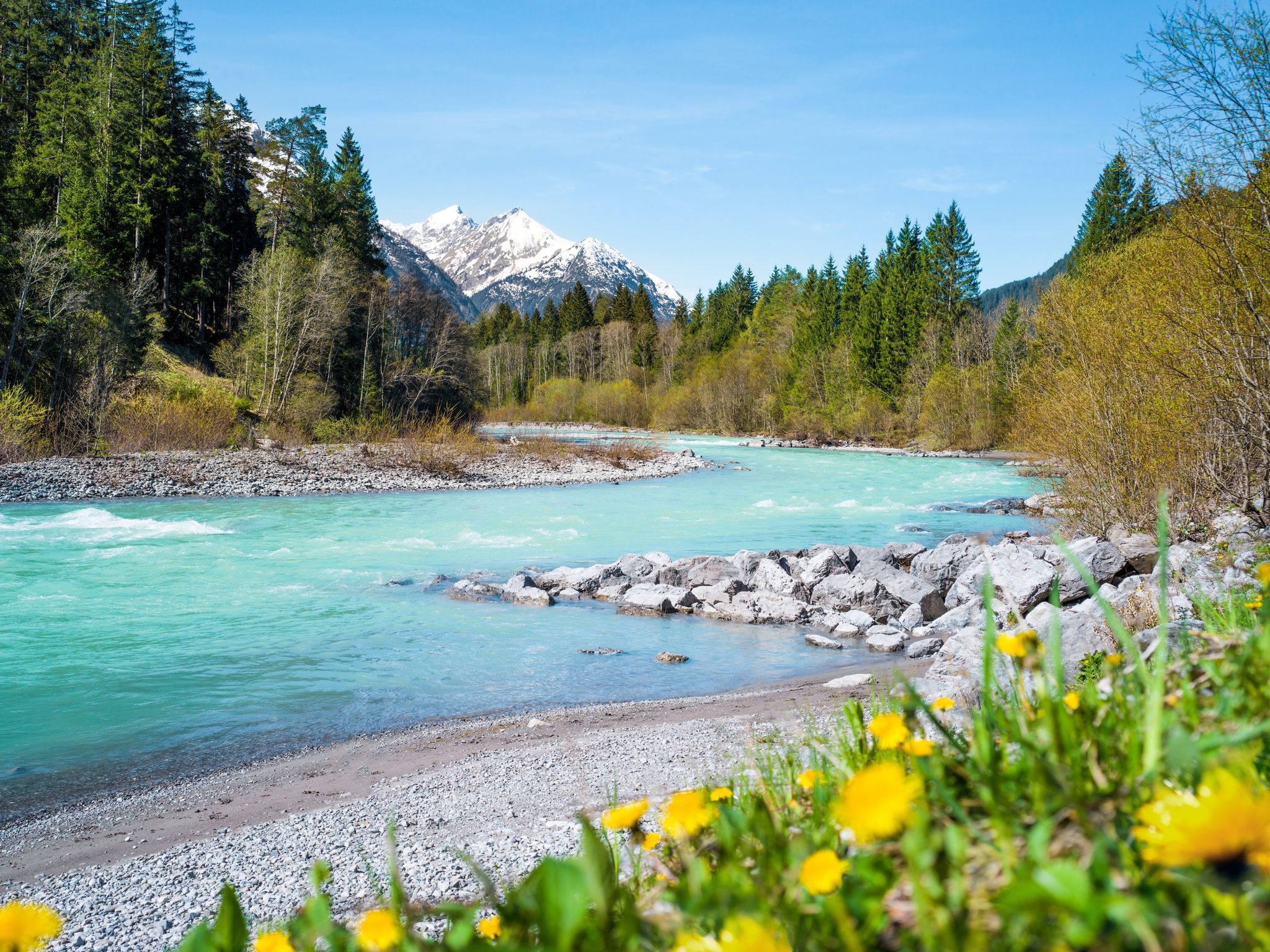
Lechloops – wonderful hiking along the wild Lech
Multi-day hiking against the flow – the Lechweg in reverse
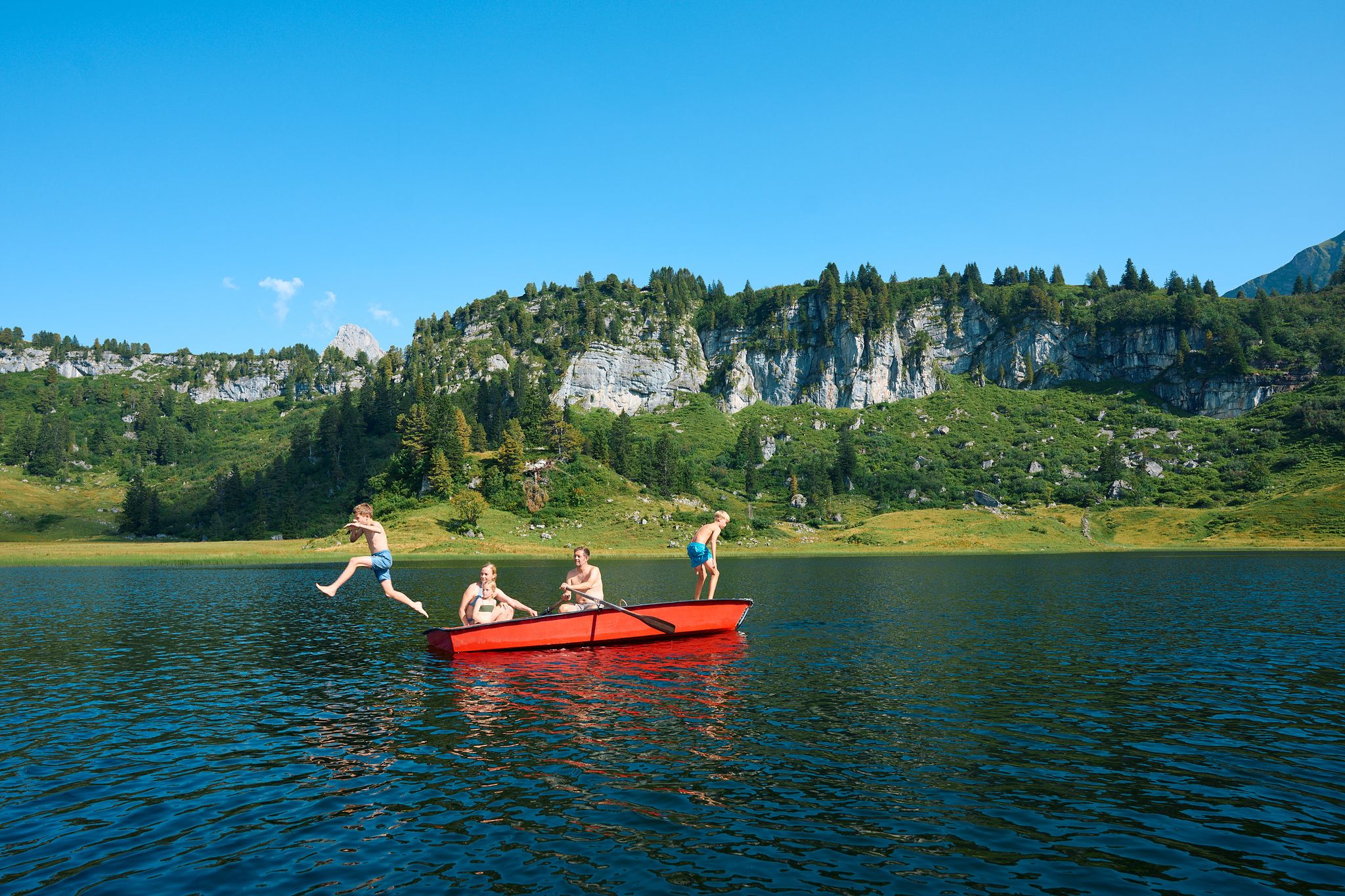
The mirrors of the mountains – hiking the alpine lakes of Warth-Schröcken
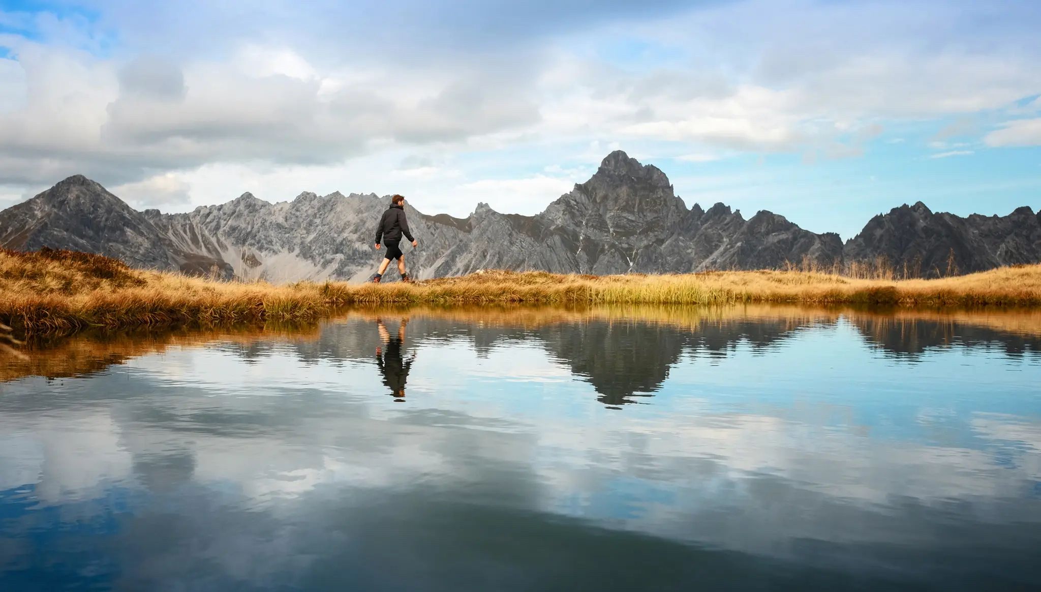
Golden season – autumn hikes in Vorarlberg
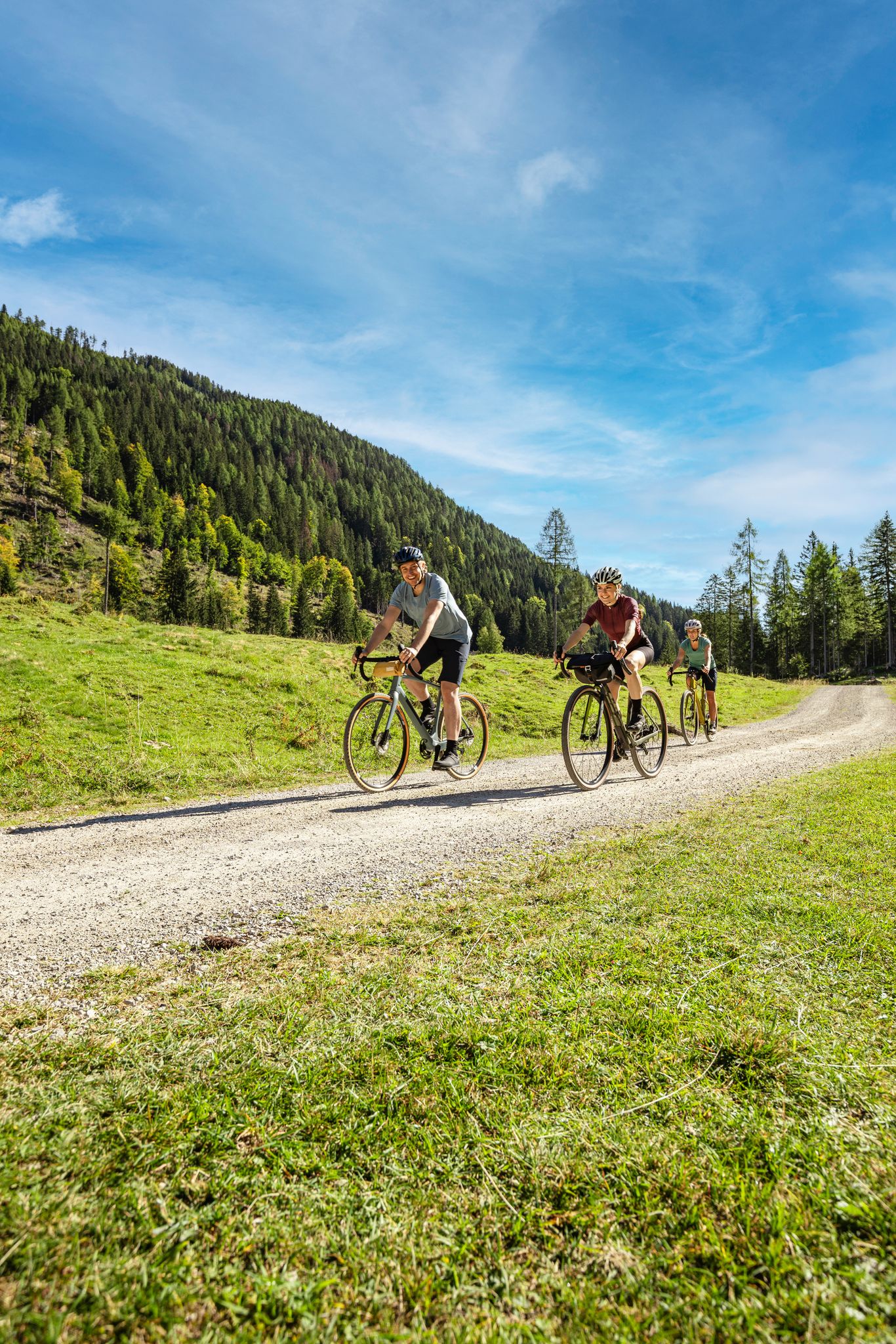
Lake Constance to Lake Neusiedl – explore Austria's federal states on gravel
2022 – the hiking summer of your life
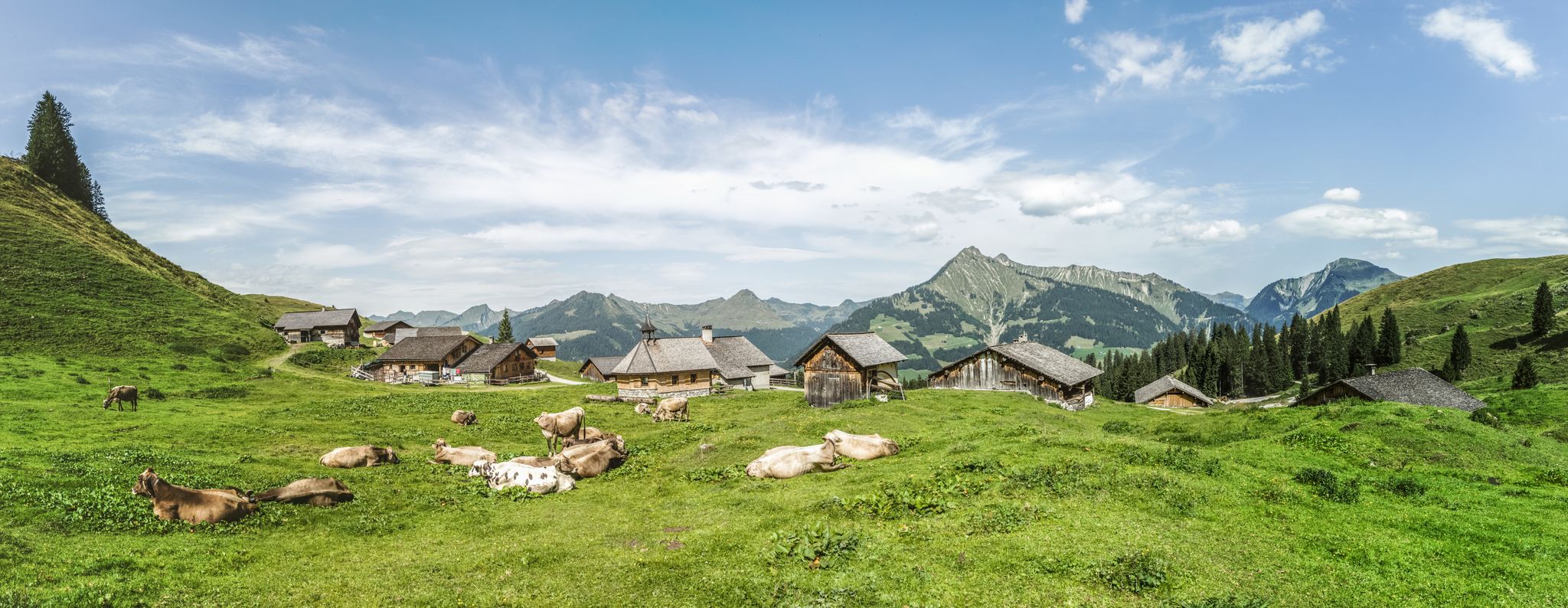
Fun on every path – alpine hiking in Austria’s Vorarlberg
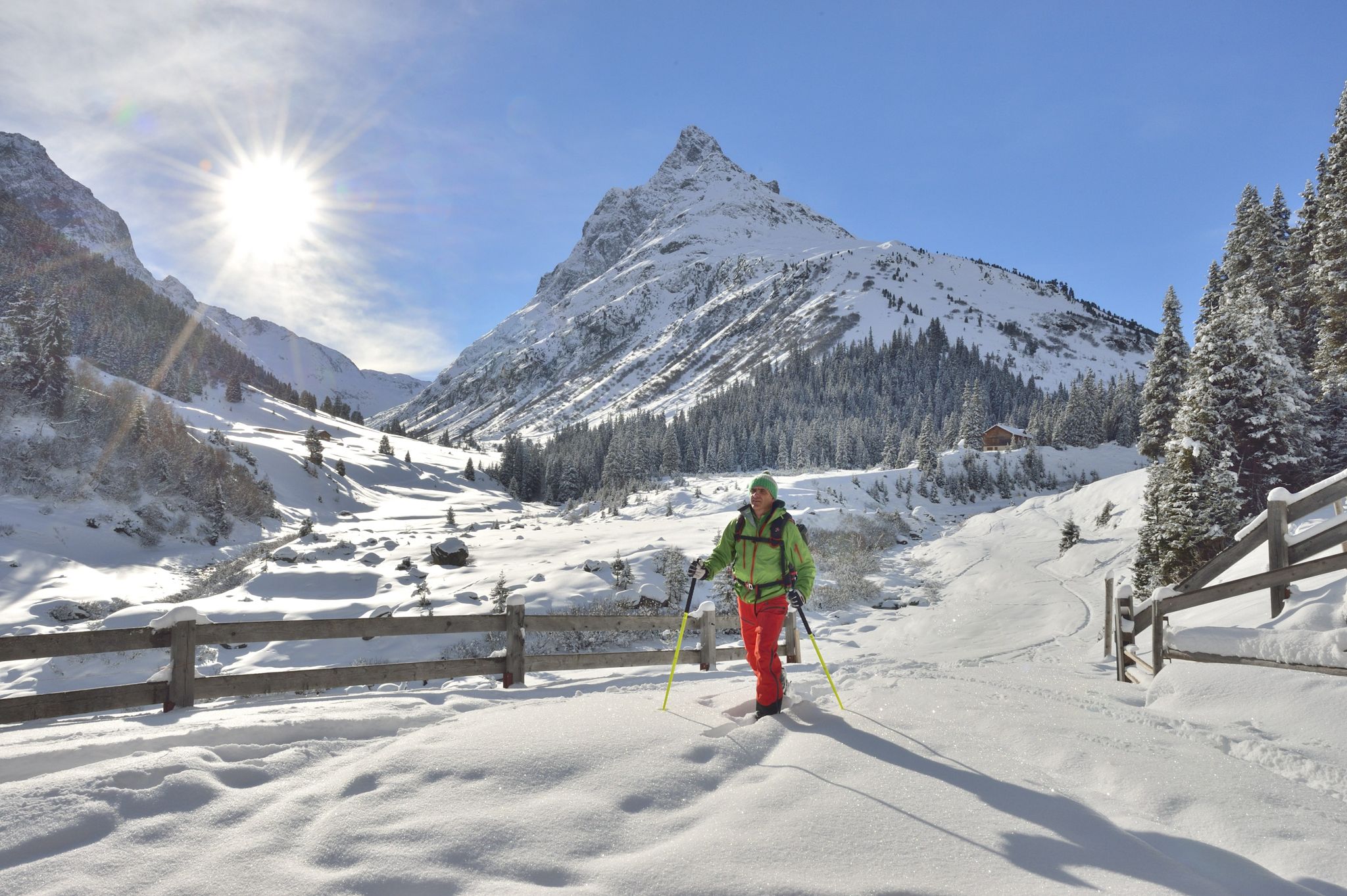
Find the snow! Winter hiking in Vorarlberg and on the Arlberg in Austria
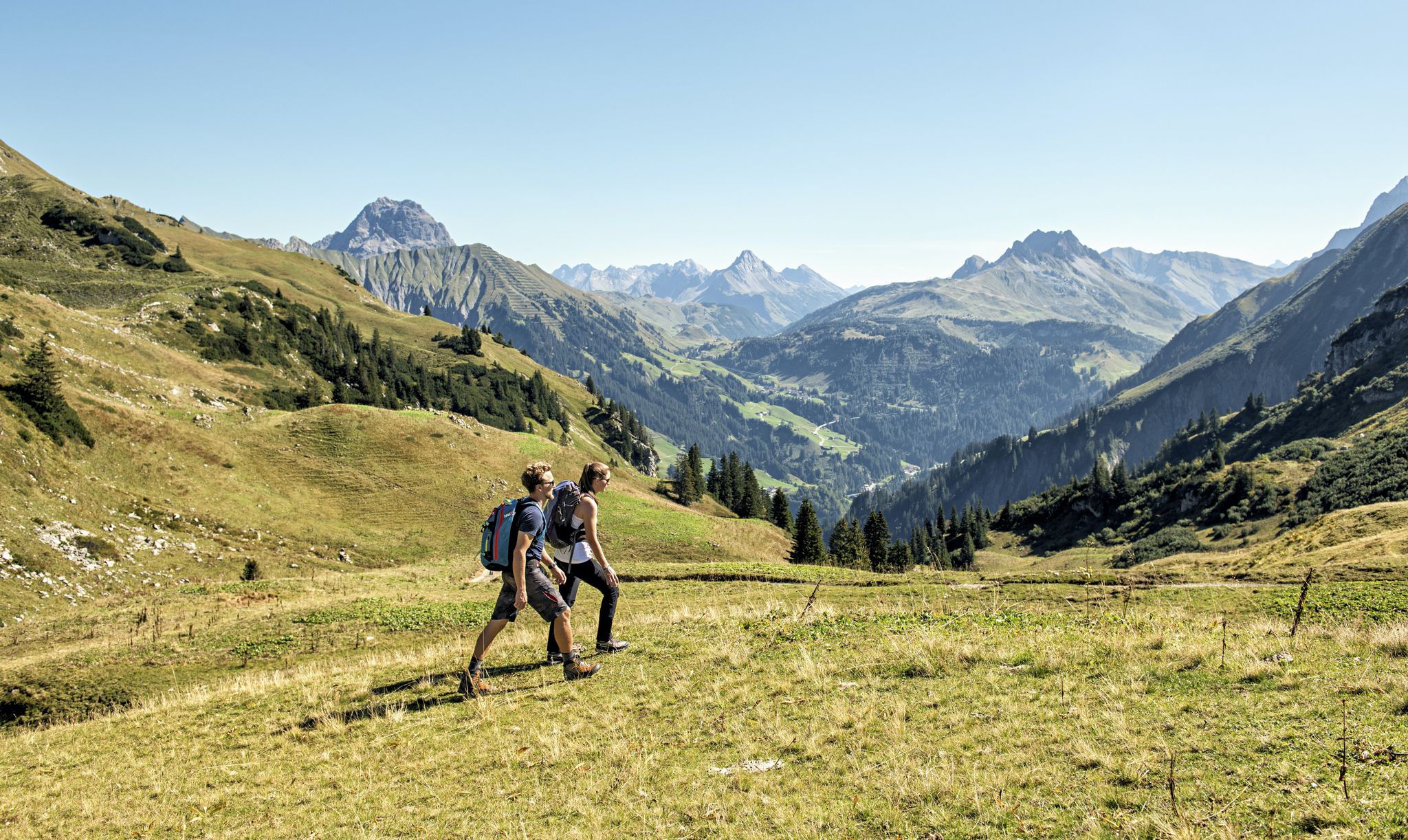
Holidays at last – relaxing hikes in Vorarlberg & Tyrol
Other adventures around Warth


Tips from the Community

Take a leisurely ride up the mountain with the Heubergbahn and then you can continue hiking on the panoramic trail.
9
1

One way ahead - you will have to push/carry here - probably nobody can drive through everything here - but it's not that far - as an experienced biker you shouldn't be put off - but with panniers, etc., it's better to stay on the road
4
0

@Olaf: this stretch is marked as S2/S3 with some sliding sections. That means: S2 downhill (red) and S3 (black) uphill. And yes, very good MTB trail technicians do it consistently, I know a few. Good MTB riders ride this 95% and only push 5%. I also described that above. and documented with numerous photos. So nothing for pure forest road riders or trekking bikes. I myself only drive safely S1, and sometimes also simple S2. I often push. I have often come across difficulties that were not so obvious before, and after tedious pushing and carrying work, I have documented them and pointed out the difficulties that others might face. Same here. The route was previously entered in the OSM map as S2 and when planning with komoot the message appears: "Advanced driving technique required". Since I was surprised that that alone wasn't enough, I created this highlight in 2019 with the clear indication that it had to be pushed and sometimes even carried. Nevertheless, I found this route nice and worthwhile because you avoid the very busy pass road. It was okay that I had to get out of my comfort zone with my almost 60 years and being overweight. It should be clear to everyone that after rain with very soft ground, a path may be much more difficult to drive/push/carry. Mountain bikers often ride paths that are not consistently rideable and are willing to push a bit if their ability or their willingness to take risks is overwhelmed. Anyone who dares to tackle real MTB terrain should know the single trail scale and be able to assess themselves accordingly, read the komoot classification of the trail and study the highlights - if available - in advance. Here the key points are even illustrated by me in large numbers. So you know what you're getting yourself into. You obviously usually ride gravel bikes, you probably rented e-MTBs here. Have you looked at the pictures of this highlight beforehand? If you overdo it on an S2/S3 path, you may be putting yourself in danger, will curse, and won't do it again. Happened to me when I was young when I was mountaineering and had to pay for an expensive helicopter rescue. Maybe you have to admit the mistake of not having informed yourself sufficiently beforehand. The hazard warnings were there. https://www.singletrail-skala.de/
4
2

From the mountain station, the Panoramaweg in the direction of Mittelberg and Baad is easy to reach, but the path to the Schwarzwassertal to the Schwarzwasserhütte is also easy to walk.
6
1


The forbidden sign really exists and probably makes sense. I followed it as the trail comments aren't that great and the top part I rode had quite a bit of ruts as well.
1
0

Not recommended for inexperienced mountain bikers at the moment. Very long, sometimes very narrow sections over roots and stairs. Also not very easy to push in some sections. At one point, the bike even has to be carried because otherwise it becomes too narrow.
1
0

The path was built as part of the land management project for forest management. Wide enough to be usable with a little consideration for pedestrians and bikers.
8
0
Frequently Asked Questions
What types of mountain biking trails are available directly in Warth?
Warth offers a network of natural mountain biking trails catering to various skill levels. You'll find options ranging from moderate to very challenging. For instance, the Mittelberg High Trail provides a well-developed gravel path with scenic views, while the Singletrack trail in Europaschutzgebiet Ifen is known for being challenging and may require some lifting and pushing in sections.
Are there dedicated bike parks with downhill and freeride tracks near Warth?
While Warth itself focuses on natural mountain biking trails, the wider Vorarlberg region offers dedicated bike parks. The largest in Vorarlberg is Bikepark Brandnertal, located about 60 km away. It features 11.8 kilometers of downhill and freeride tracks for all skill levels, including challenging obstacles and flowlines like 'Tschengla Unchained'.
What is the Burgwald Bike-Trail and where is it located?
The Burgwald Bike-Trail in Lech am Arlberg is Vorarlberg's first official freeride and enduro trail, located closer to Warth. It's approximately 3 km long with a 488-meter elevation drop, offering intermediate to high difficulty sections for ambitious riders within the stunning Arlberg landscape.
Are there family-friendly options for biking around Warth?
Yes, the region is well-suited for e-biking, making rocky paths and longer distances more accessible for families, even with trailers for small children. The Heuberglift mountain station is a family-friendly facility that allows bike transport up the mountain, providing access to trails and panoramic views.
What kind of views and natural features can I expect on the bike trails?
The Warth-Schröcken region is characterized by impressive mountain landscapes, offering breathtaking views during your rides. Trails like the Mittelberg High Trail provide wonderful panoramas of the valley. Many routes also allow for 'Bike & Hike' combinations, letting you explore diverse nature.
What is the best time of year for mountain biking in Warth?
The mountain biking season in Warth typically runs from late spring through early autumn, when the trails are clear of snow and the weather is most favorable. Always check local conditions before planning your trip.
Can I rent bikes in Warth?
Yes, bike rental services are available in the Warth-Schröcken region, including options for traditional mountain bikes and e-bikes. For dedicated bike parks like Burgwald Bike-Trail, freeride and enduro bikes can also be rented locally in Lech am Arlberg.
What other outdoor activities can I combine with a bike park visit near Warth?
The area around Warth is excellent for combining mountain biking with other outdoor pursuits. You can find numerous options for mountain hikes, general hiking, and cycling tours. Many routes allow for 'Bike & Hike' combinations, letting you explore diverse nature.
Are there challenging singletracks around Warth?
Yes, Warth is known for its challenging singletracks. The Lech–Warth Mountain Bike Trail (S2/S3) is an alternative to the pass road, featuring beautiful field, forest, and meadow paths, but includes sections that may require pushing or carrying your bike due to technical terrain like roots, stones, and small heels. The Köpfle Trail is another challenging option, often described as wet, rooty, and slippery.
What do visitors appreciate most about the bike parks and trails around Warth?
Visitors frequently praise the stunning scenic beauty and impressive mountain landscapes encountered during rides. The variety of difficulty levels, accommodating both beginners and experienced riders, is also highly valued. The opportunity to combine cycling with other outdoor activities like hiking is another popular aspect.
How can I access trails and viewpoints using lifts in Warth?
The Heuberglift mountain station provides convenient access. You can take the Heubergbahn up the mountain, which allows for bike transport, to reach trails and enjoy panoramic views from the top.
Most popular attractions around Warth

Get inspired with the komoot mobile app


Explore more
Still looking for your perfect bike park? Check out our guides in these places:
