Top 9 Mountain Passes around Reichenau an der Rax
Mountain passes near Reichenau an der Rax are primarily defined by high-altitude hiking experiences within the Vienna Alps, particularly around the Rax massif. The region offers diverse access points and elevated areas that serve as passes for hikers, providing expansive views and varied trails. Reichenau an der Rax is a gateway to an alpine environment, featuring rolling limestone terrain and dramatic drops. The area is known for its extensive network of trails, catering to various hiking preferences.
Best mountain passes…
Last updated: September 27, 2026
Stuhleck Summit
Highlight • Summit
Translated by Google •
Tip by

Klostertaler Gscheid Pass (764 m)
Highlight (Segment) • Mountain Pass
Translated by Google •
Tip by

Sign up now to discover places like this
Get recommendations on the best single tracks, peaks, & plenty of other exciting outdoor places.
Steep Semmering Variant
Highlight (Segment) • Trail
Showing Translation
Tip by

Ascent to Preiner Gscheid from Kapellen
Highlight (Segment) • Mountain Pass
Translated by Google •
Tip by

Narrow
Highlight • Gorge
Showing Translation
Tip by

Sign up for free to discover even more mountain passes around Reichenau an der Rax.
Already have an account?
Start today with a free account
Your next adventure awaits.
Popular around Reichenau an der Rax

North Alpine Trail 01 – Hike across Austria in 49 days

Viennese Alpenbogen – Lower Austria's most beautiful peaks
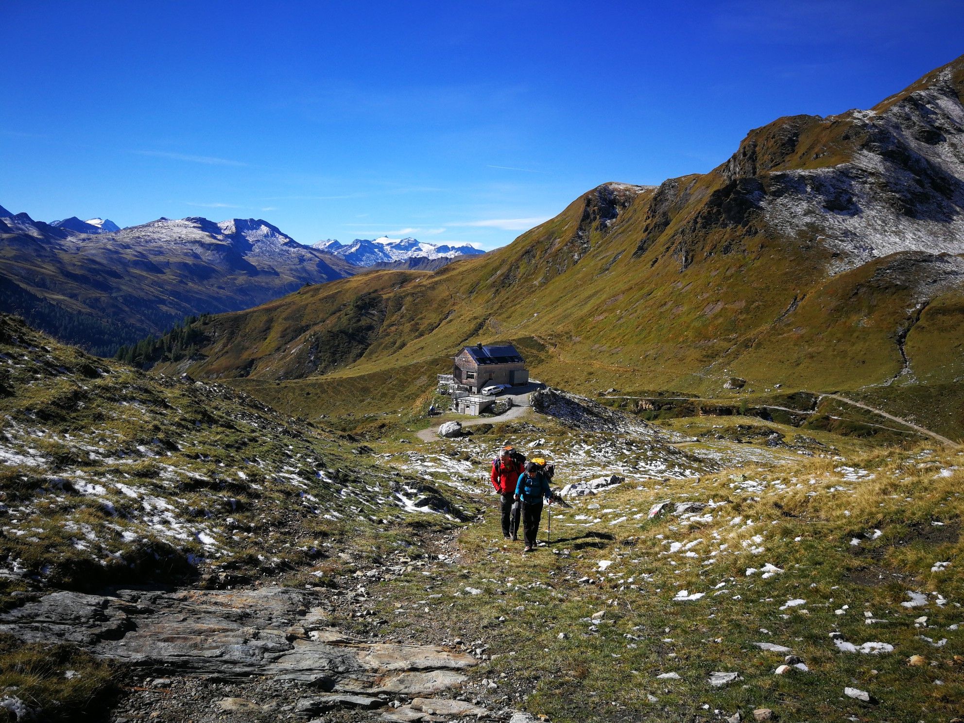
Lower Austria to Carinthia — our favourite huts in Austria
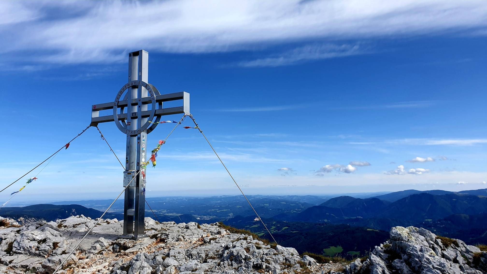
Alpine hiking on Vienna’s doorstep – Rax-Schneeberg Group Mountains

An alpine adventure – from east to west through Austria
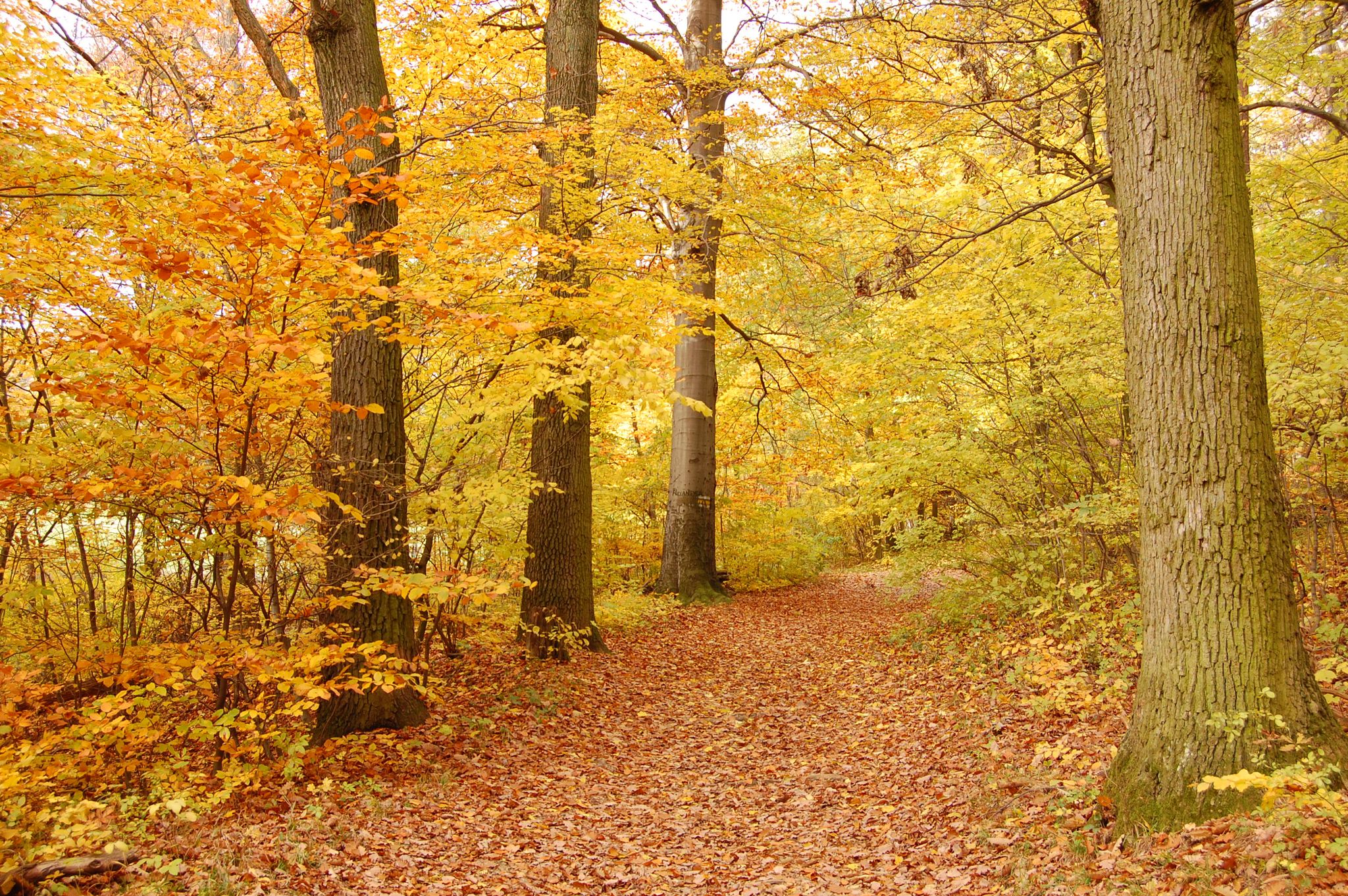
Fantastic autumn hikes in Vienna
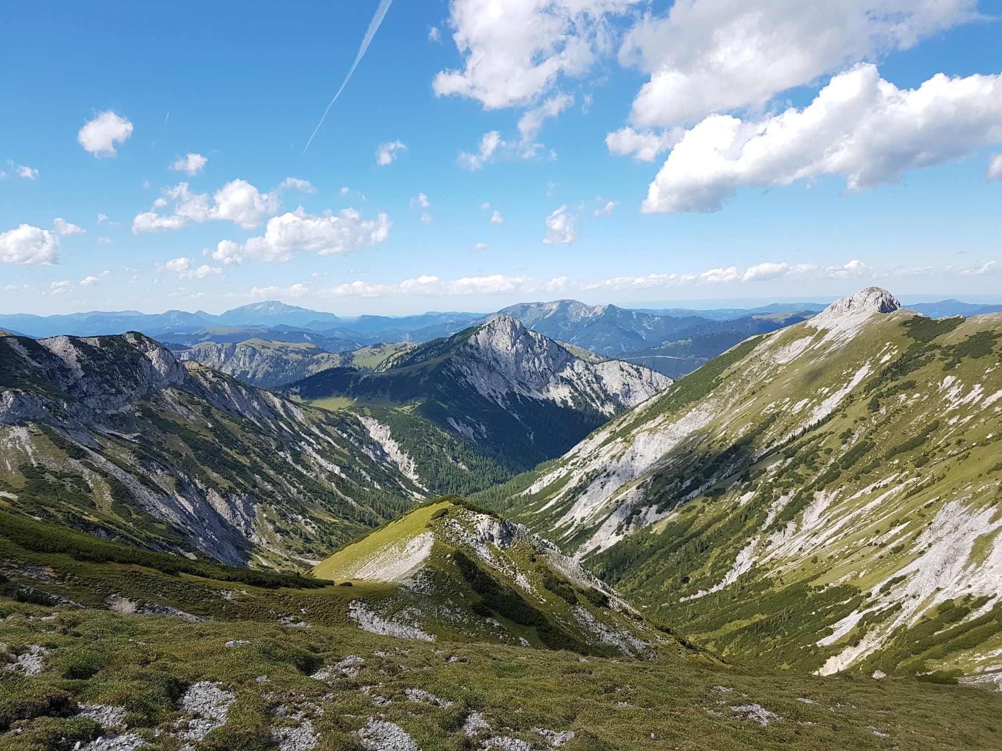
Out of town, up the mountain – Vienna's backyard
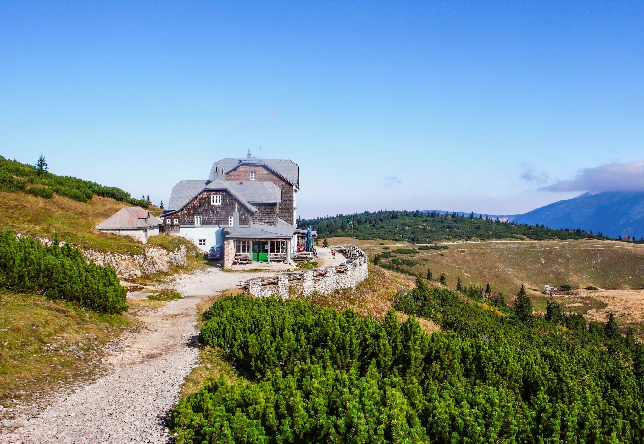
Hut fun in Austria’s Schneebergland
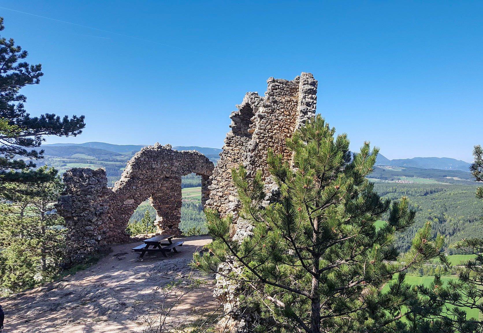
Family adventures in Vienna's local mountains
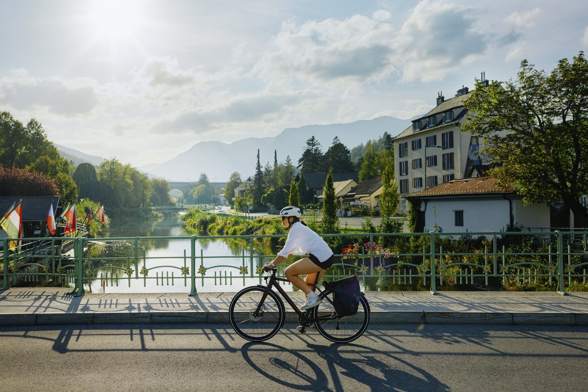
Ride & Relax – Mit dem Rad in den Wiener Alpen
Other adventures around Reichenau an der Rax


Tips from the Community


The Mariensteig leads through the Eng in the Höllental and runs partly narrow and exposed along the rock faces. Steel cables secure the steeper passages, yet surefootedness and a head for heights are required. An impressive route that combines alpine character with beautiful views into the valley.
3
0
Great view, challenging to drive, really fun
4
0
Great view, challenging to drive
4
0

Very nice section for the road bike
0
0

The Stuhleck is, together with the Wechsel, one of the easternmost peaks in the Alps that still rises above the tree line. The Alois Günther House is located at the summit. From the Pfaffensattel, a mountain pass (1372 m) between the towns of Rettenegg and Steinhaus am Semmering, an unpaved toll road that is only open in summer leads to the summit. The Alpannonia Central Alpine Trail, an Austrian long-distance hiking trail, also leads up and over the summit. 📖 www.de.wikipedia.org/wiki/Stuhleck
7
1
At 1782 m above sea level, the Stuhleck is the highest mountain in the Fischbach Alps in Styria (Austria). Once you get up here, a fantastic panoramic view awaits you ⛰️
7
1
The Stuhleck is, together with the Wechsel, one of the easternmost peaks in the Alps that still rises above the tree line. The Alois Günther House is located at the summit. From the Pfaffensattel, a mountain pass (1372 m) between the towns of Rettenegg and Steinhaus am Semmering, an unpaved toll road that is only open in summer leads to the summit. The Alpannonia Central Alpine Trail, an Austrian long-distance hiking trail, also leads up and over the summit. 📖 www.de.wikipedia.org/wiki/Stuhleck
11
1
Frequently Asked Questions
What kind of mountain pass experiences can I expect around Reichenau an der Rax?
The region around Reichenau an der Rax is renowned for its high-altitude hiking experiences, particularly within the Rax massif. Instead of traditional road passes, you'll find diverse access points and elevated areas that serve as 'passes' for hikers, offering expansive views and varied trails. The area features rolling limestone terrain and dramatic drops, providing a true alpine environment.
What are some notable starting points for hikes to the Rax Plateau?
A significant starting point is Preiner Gscheid Pass, located at 1070m. It offers an extensive network of trails for all preferences, from easy paths to more difficult ascents, including routes to the Heukuppe, the highest point of the Rax massif. Another option is the Ascent to Preiner Gscheid from Kapellen, which is a pleasant cycling route and a good alternative starting point for Rax hikes.
How can I access the Rax Plateau for hiking?
The most straightforward way to reach the Rax Plateau is via the Rax cable car from Hirschwang, near Reichenau an der Rax. This cable car ascends over 1000 meters in about eight minutes, taking you directly into the alpine environment. Alternatively, numerous challenging paths from various valleys also lead to the plateau.
Are there any less strenuous mountain passes or routes suitable for families?
Yes, the area around Preiner Gscheid Pass offers family-friendly options. For instance, the ascent to the Waxriegelhaus from Preiner Gscheid can be done via a forest road, which is even suitable for all-terrain strollers. This provides a less strenuous outing with a cozy resting spot.
What kind of natural features and viewpoints can I expect on these mountain passes?
You can expect breathtaking panoramic views of the surrounding mountains, including Schneeberg and Semmering, especially from the Rax Plateau. The Stuhleck Summit, for example, offers an indescribable panorama at 1,782 meters, with a round billboard indicating distant sights. The region also features rolling limestone terrain and dramatic drops.
What is the best time of year to visit the mountain passes around Reichenau an der Rax?
The Rax Plateau is an excellent destination for hiking from spring through autumn. In winter, it transforms into an ideal area for snowshoeing. The specific conditions can vary, so it's always advisable to check local weather and trail conditions before your visit.
Are there cycling routes available on or near the mountain passes?
Yes, some passes are suitable for cycling. The Klostertaler Gscheid Pass (764 m) is known for low car and motorcycle traffic and no steep inclines, making it suitable for combining with other pass rounds. The Ascent to Preiner Gscheid from Kapellen is also described as a very nice alternative for a bike tour.
What outdoor activities can I do near these mountain passes?
Beyond exploring the passes themselves, the region offers a variety of outdoor activities. You can find numerous hiking trails, such as the 'Seehütte, Preinerwand Cross, and Ottohaus Trail' or the 'Weichtalklamm and Stadelwandhöhe – Rax and Schneeberggruppe'. There are also cycling and mountain biking opportunities. For more details on routes, you can explore the guides for Hiking around Reichenau an der Rax, Cycling around Reichenau an der Rax, and MTB Trails around Reichenau an der Rax.
What do visitors particularly enjoy about the mountain passes in this region?
Visitors appreciate the indescribable panoramas and scenic views, especially of the Rax massif. The accessibility of the Rax Plateau via cable car makes it suitable for a wide range of visitors seeking an alpine experience. Hikers also enjoy the extensive network of trails and the opportunity for 'hut hopping' on the Rax Plateau.
Are there any challenging routes for experienced hikers or cyclists?
Yes, the Rax Plateau offers routes with via ferrata sections for experienced mountaineers. For cyclists, the Steep Semmering Variant offers an idyllic but very steep and exhausting route, providing a challenge for those looking for it.
How accessible are the mountain passes by public transport?
Preiner Gscheid is easily accessible by bus. From Vienna, you can reach it by taking the S6 Semmering expressway to the Gloggnitz exit, then following local roads. The Rax cable car also provides direct access to the Rax Plateau, making it highly accessible for many visitors.
Most popular routes around Reichenau an der Rax
Most popular attractions around Reichenau an der Rax

Get inspired with the komoot mobile app


Explore more
See even more epic mountain passes by checking out these guides around Reichenau an der Rax:
