Top 8 Mountain Passes around Sternenfels
Best mountain passes around Sternenfels are found in a region characterized by its elevated position on the western spur of the Stromberg hills. This area marks a watershed between the Rhine and Neckar rivers, offering elevated routes and viewpoints. The landscape features rolling hills, dense forests, and expansive vineyards, providing diverse terrain for exploration. Sternenfels offers opportunities to experience routes that provide a sense of elevated journey and scenic discovery.
Best mountain passes around Sternenfels
- The most popular mountain passes…
Last updated: August 17, 2026
Hill Pass "Hohe Reute"
Highlight • Mountain Pass
Translated by Google •
Tip by

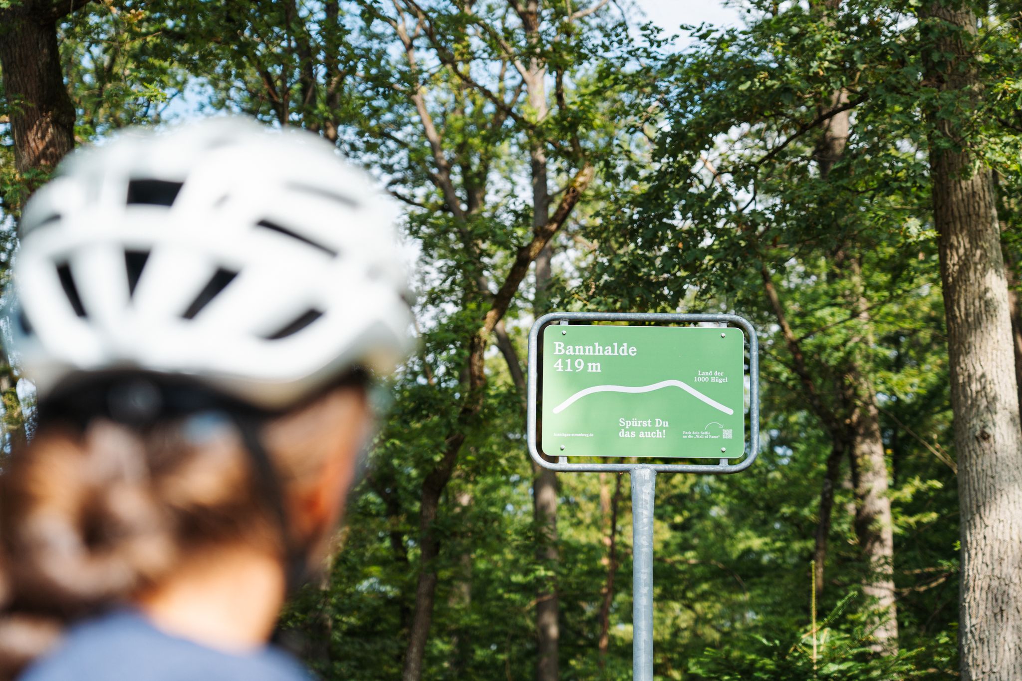
Bannhalde Hill Pass
Highlight • Mountain Pass
Translated by Google •
Tip by

Sign up now to discover places like this
Get recommendations on the best single tracks, peaks, & plenty of other exciting outdoor places.
Sign up for free
Hohenhaslach–Güglingen Climb
Highlight (Segment) • Climb
Translated by Google •
Tip by

Lerchenbühlhof Hill Pass
Highlight • Mountain Pass
Take a selfie of yourself, your fellow cyclists, and the pass sign. Then upload it to the …
Translated by Google •
Tip by
Dürrmenzer Steige Hill Pass
Highlight • Mountain Pass
Showing Translation
Tip by

Sign up for free to discover even more mountain passes around Sternenfels.
Sign up for free
Already have an account?
Start today with a free account
Your next adventure awaits.
Login or Signup
Popular around Sternenfels

Oases of calm – hill sofas in the land of 1,000 hills
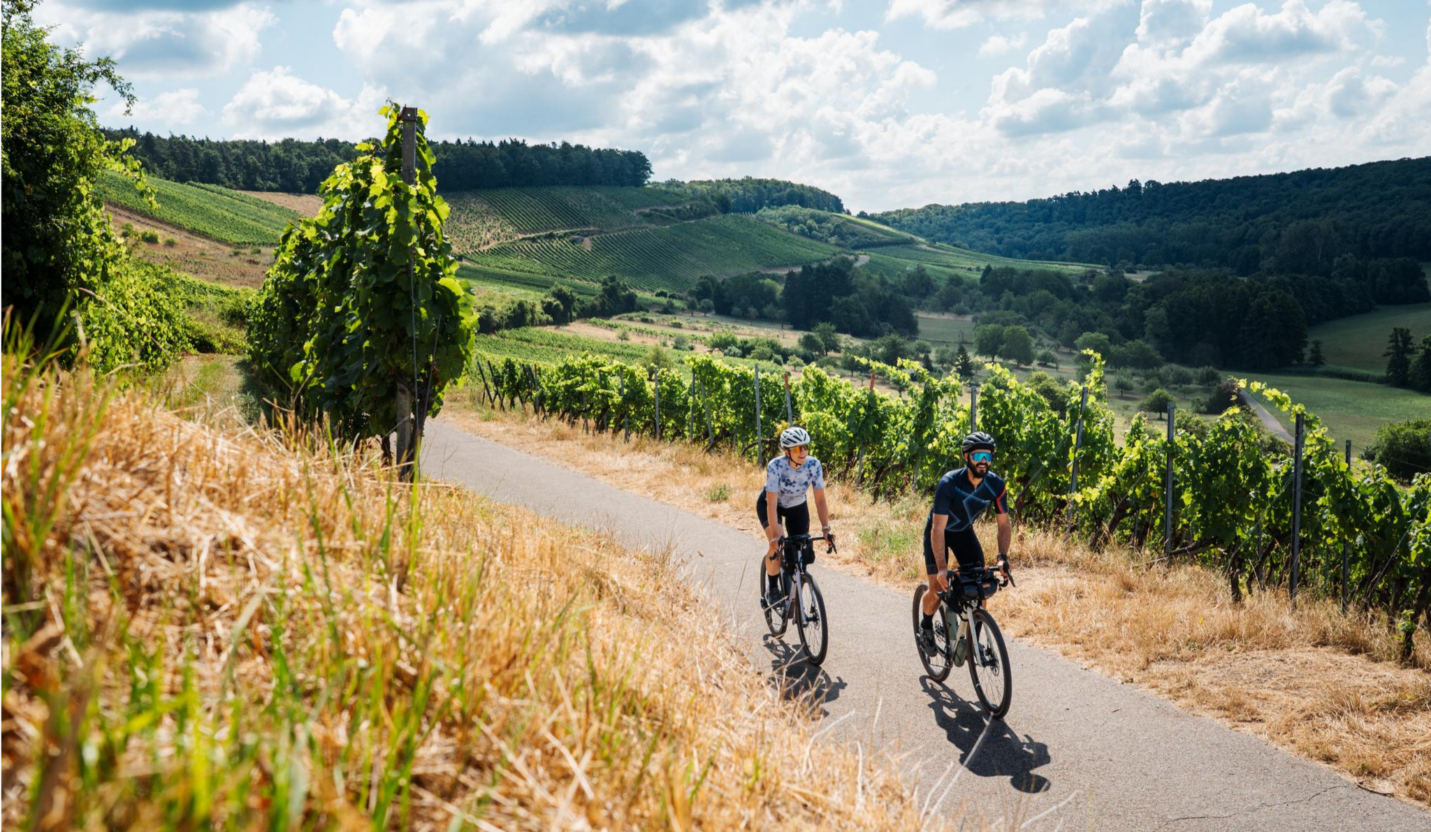
The Kraich- and Metterradweg - from the Rhine to the Enz

Spring in the land of 1,000 hills – Kraichgau-Stromberg in Germany
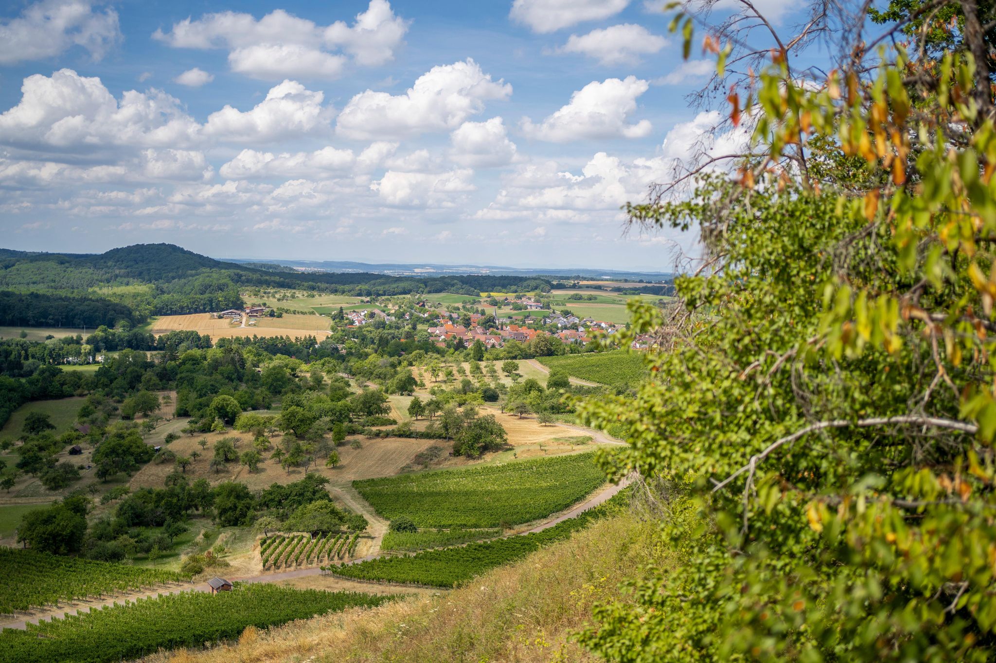
Zwischen Schlossbergturm und Diefenbacher König – Wandern in Sternenfels
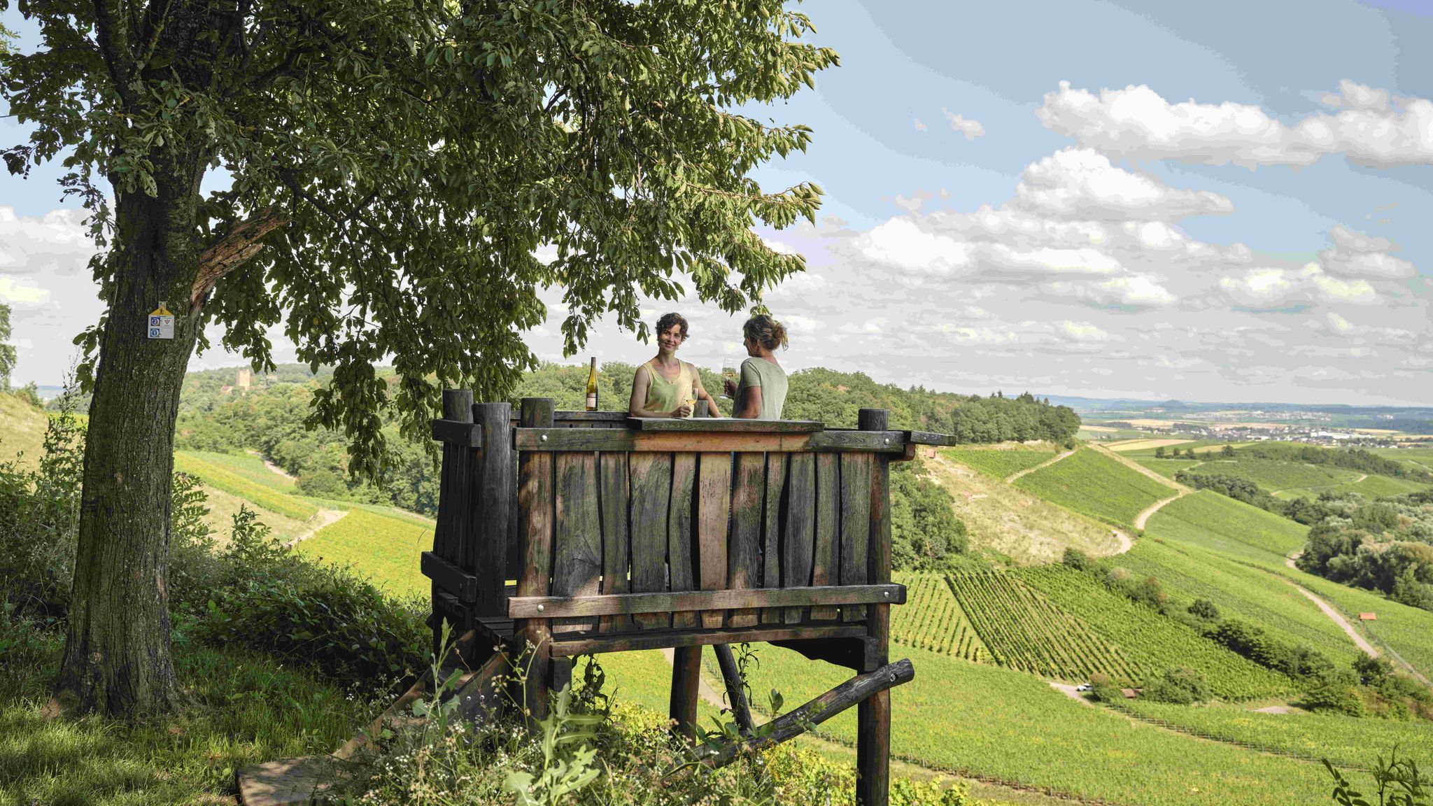
Genusswandern: Auf Wein(wander)wegen durch das Land der 1000 Hügel

Wander3Klänge: Einfach Los Wandern im Naturpark Stromberg-Heuchelberg
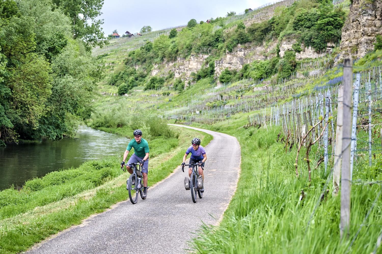
Erfrischend anders: wassernah radeln im Land der 1000 Hügel
Das Land der 1000 Hügel mit der Buslinie 702 entdecken
Auf die Pässe, fertig, los!

Zu Fuß durchs Land der 1000 Hügel
Other adventures around Sternenfels

Tips from the Community

Beautiful place with a shelter and a view
1
0

Excellent idea from « kraichgau-stromberg.de » to finally install « passage signs » 😆!
2
0

...a paradise for cycling!
1
0


Not far from the 404-meter-high Heukopf, you'll reach the wooded Lerchenbühlhof hill pass. Take a selfie of yourself, your fellow cyclists, and the pass sign. Then upload it to the Wall of Fame via the QR code on the pass sign or via the website http://www.kraichgau-stromberg.de/bewegen/radfahren/1000-huegel-paesse. Alternatively, you can also tag yourselves with the hashtag #1000hügelpässe on Instagram and Facebook. We look forward to a colorful collection of your hill pass moments! You can also find all the hill passes in the "1000-Hill-Passes-komoot Collection".
2
0
At the edge of the forest, you'll reach the Dürrmenz Steige. From here, you have a magnificent view of the beautiful landscape. Take a selfie of yourself, your fellow cyclists, and the pass sign. Then upload it to the Wall of Fame using the QR code on the pass sign or via the website http://www.kraichgau-stromberg.de/bewegen/radfahren/1000-huegel-paesse. Alternatively, you can also tag it with the hashtag #1000hügelpässe on Instagram and Facebook. We look forward to a colorful collection of your hill pass moments! You can also find all the hill passes in the "1000-Hügel-Pässe-komoot Collection".
0
0

Pedaling up 400m often also results in 1000m
0
1

Frequently Asked Questions
What are some of the most notable elevated routes and viewpoints in the Sternenfels area?
While Sternenfels doesn't have traditional mountain passes, its unique geography offers several elevated routes and viewpoints. The Castle Hill (Schlossberg), with its water tower, provides exceptional views. Other notable routes include the Eppinger-Linien-Weg, a historical hiking trail, and the Metterradweg, a cycling path through varied scenery.
Which mountain passes around Sternenfels offer the best views?
For panoramic views, the Bannhalde Hill Pass is one of the highest in the 'Land of 1000 Hills' at 419 meters, located directly in the Sternenfels area. The Dürrmenzer Steige Hill Pass also offers magnificent views of the beautiful landscape from the edge of the forest.
Are there any historical trails or landmarks near the mountain passes?
Yes, the Eppinger-Linien-Weg is a significant historical hiking trail that passes through Sternenfels. It follows a 17th-century defensive wall and features nine sculptures by artist Hinrich Zürn, blending nature, art, and history. The Castle Hill (Schlossberg) also holds historical significance, though the original castle is largely ruined, a modern water tower offers a historical feel and great views.
What kind of terrain can I expect on the mountain passes and elevated routes around Sternenfels?
The terrain around Sternenfels is diverse, featuring rolling hills, dense forests, and expansive vineyards. Passes like Hill Pass "Hohe Reute" involve short gravel sections, while the Hohenhaslach–Güglingen Climb has a good road surface with some steeper passages and significant forest cover, providing shade.
Are there any amenities like drinking water available on the passes?
Yes, at the Bannhalde Hill Pass, you can find a drinking fountain supplied by the Lake Constance water utility, perfect for refilling your water bottles after the climb.
What outdoor activities can I do near these mountain passes?
The region around Sternenfels offers a variety of outdoor activities. You can explore numerous running trails, enjoy road cycling routes through vineyards and picturesque towns, or tackle challenging MTB trails. The Metterradweg is also a popular cycling path.
Are there family-friendly options for exploring the elevated areas around Sternenfels?
Yes, the area is crisscrossed with numerous hiking trails through rolling hills, dense forests, and expansive vineyards, many of which are suitable for families. The Metterradweg cycling path, originating in Sternenfels-Diefenbach, offers a gentler elevated experience showcasing diverse landscapes, which can be enjoyable for families.
What is the best time of year to visit the mountain passes and elevated routes in Sternenfels?
The region's diverse landscape of vineyards, forests, and rolling hills makes it enjoyable throughout much of the year. Spring and autumn offer pleasant temperatures and beautiful scenery, with blooming nature or vibrant fall colors. Summer provides shade on forested routes like the Hohenhaslach–Güglingen Climb, making it comfortable for exploration.
Can I find circular routes for hiking or cycling in the Sternenfels area?
Yes, the area around Sternenfels features numerous circular hiking routes, such as an approximately 9 km route through forests and vineyards east of Diefenbach, offering wide views. For cycling, the Metterradweg also provides a scenic journey through two districts.
What makes the Sternenfels region unique for elevated routes?
Sternenfels is uniquely situated on an exposed western spur of the Stromberg hills, marking a watershed between the Rhine and Neckar rivers. This geographical position provides a natural elevation that, while not traditional mountain passes, offers a similar sense of traversing significant natural divides and provides numerous opportunities for panoramic views and scenic discovery.
Are there any specific challenges or difficulties on the elevated routes?
Routes like the Hohenhaslach–Güglingen Climb can feature some steeper passages, making them more challenging. However, many trails through the rolling hills and vineyards are accessible for various fitness levels, with options ranging from moderate to difficult as seen in nearby running and MTB routes.
What do visitors enjoy most about the mountain passes and elevated routes in Sternenfels?
Visitors appreciate the diverse terrain, from gravel paths to good road surfaces, and the extensive views over the Kraichgau and Stromberg regions. The blend of nature, history, and the opportunity to experience a sense of elevated journey and scenic discovery are highly valued, as evidenced by the community's positive feedback and photo contributions.
Most popular routes around Sternenfels
Most popular attractions around Sternenfels

Get inspired with the komoot mobile app


Explore more
See even more epic mountain passes by checking out these guides around Sternenfels:
