Top 9 Mountain Passes around Unterammergau
Best mountain passes around Unterammergau are situated within the Ammergau Alps, providing a range of elevated routes and diverse terrain. The region features significant mountain routes that lead to summits or traverse high ground, offering experiences akin to traditional mountain passes. These routes often include challenging ascents and provide extensive views of the surrounding landscape. The area is characterized by its mountainous environment, with trails winding through forests and across open areas.
Best mountain passes around Unterammergau
- The most popular…
Last updated: May 11, 2026
View of the Kofel
Highlight • Viewpoint
Translated by Google •
Tip by

Bäckenalm Saddle
Highlight • Mountain Pass
Translated by Google •
Tip by

Sign up now to discover places like this
Get recommendations on the best single tracks, peaks, & plenty of other exciting outdoor places.
Sign up for free
Climb from Oberau to Ettal via Ettaler Sattel
Highlight (Segment) • Mountain Pass
Translated by Google •
Tip by

Watershed in the Ammergebirge Nature Reserve
Highlight • Mountain Pass
Translated by Google •
Tip by

From Plansee to Oberammergau
Highlight (Segment) • Trail
Translated by Google •
Tip by

Sign up for free to discover even more mountain passes around Unterammergau.
Sign up for free
Already have an account?
Start today with a free account
Your next adventure awaits.
Login or Signup
Popular around Unterammergau

Maximilian Trail in Germany — Lake Constance to Königssee
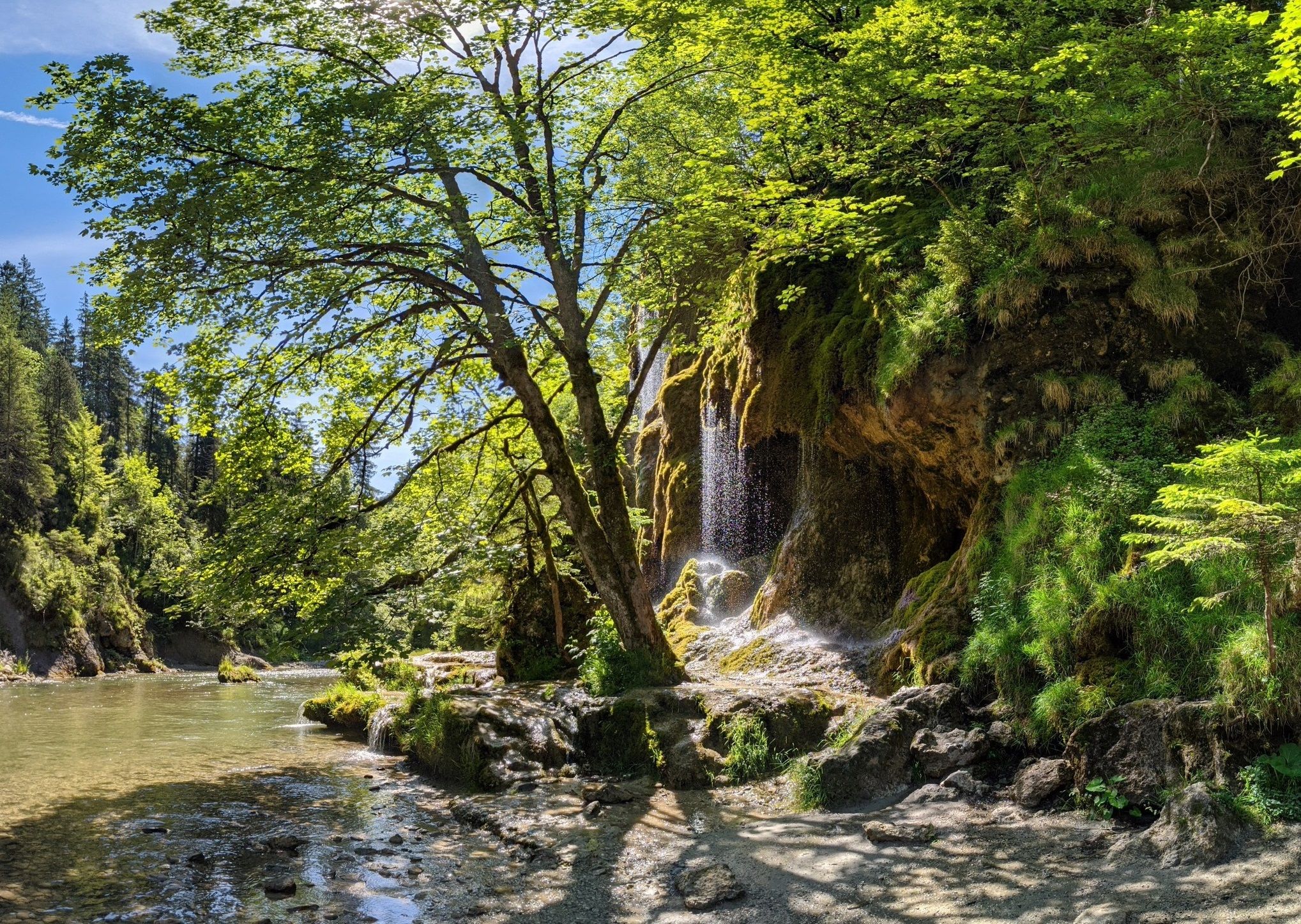
Ammergau Alps meditation path in Bavaria – Breathe in, breathe out
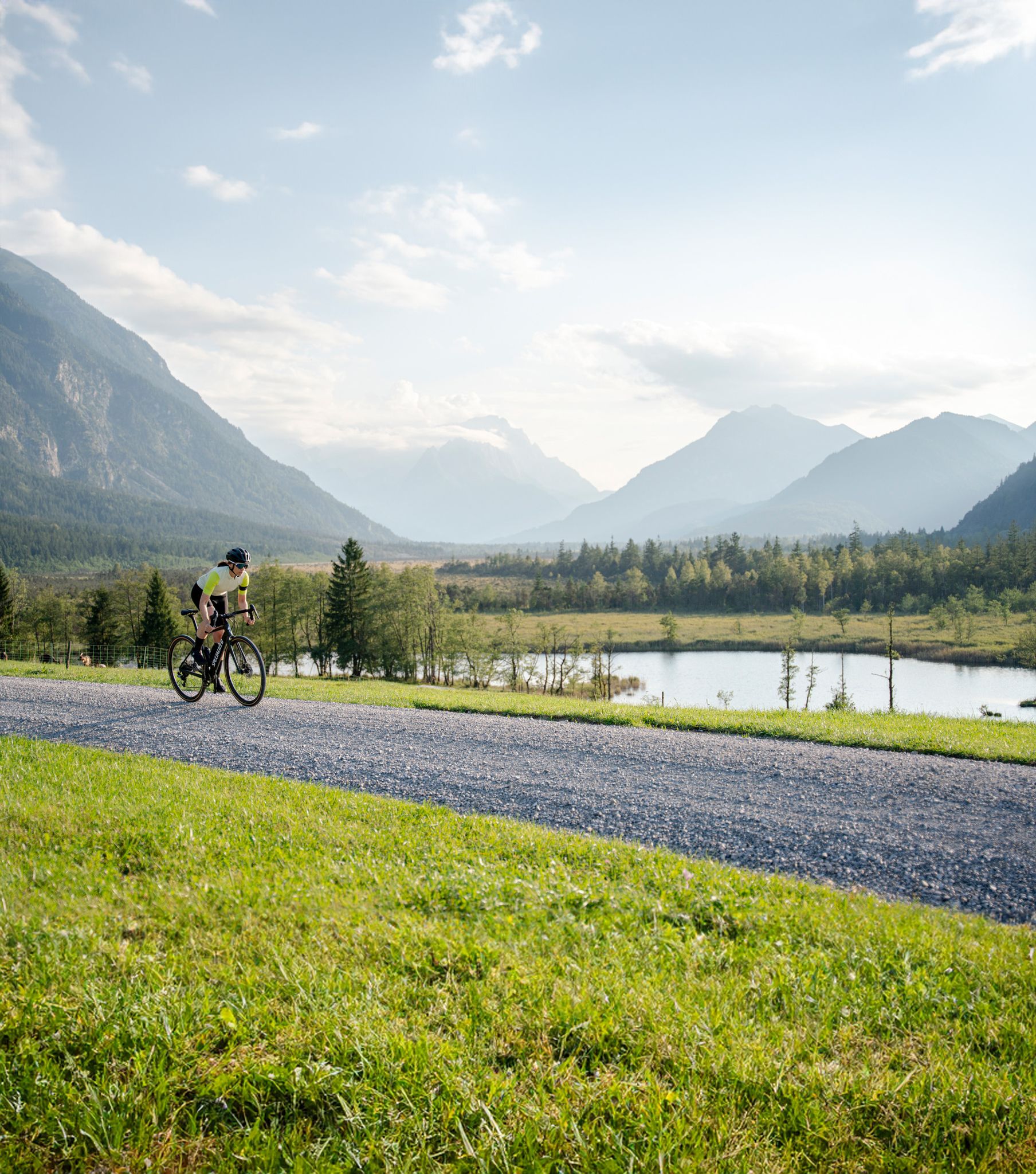
Among Bavaria's highest mountains – gravel riding in the Zugspitz Region
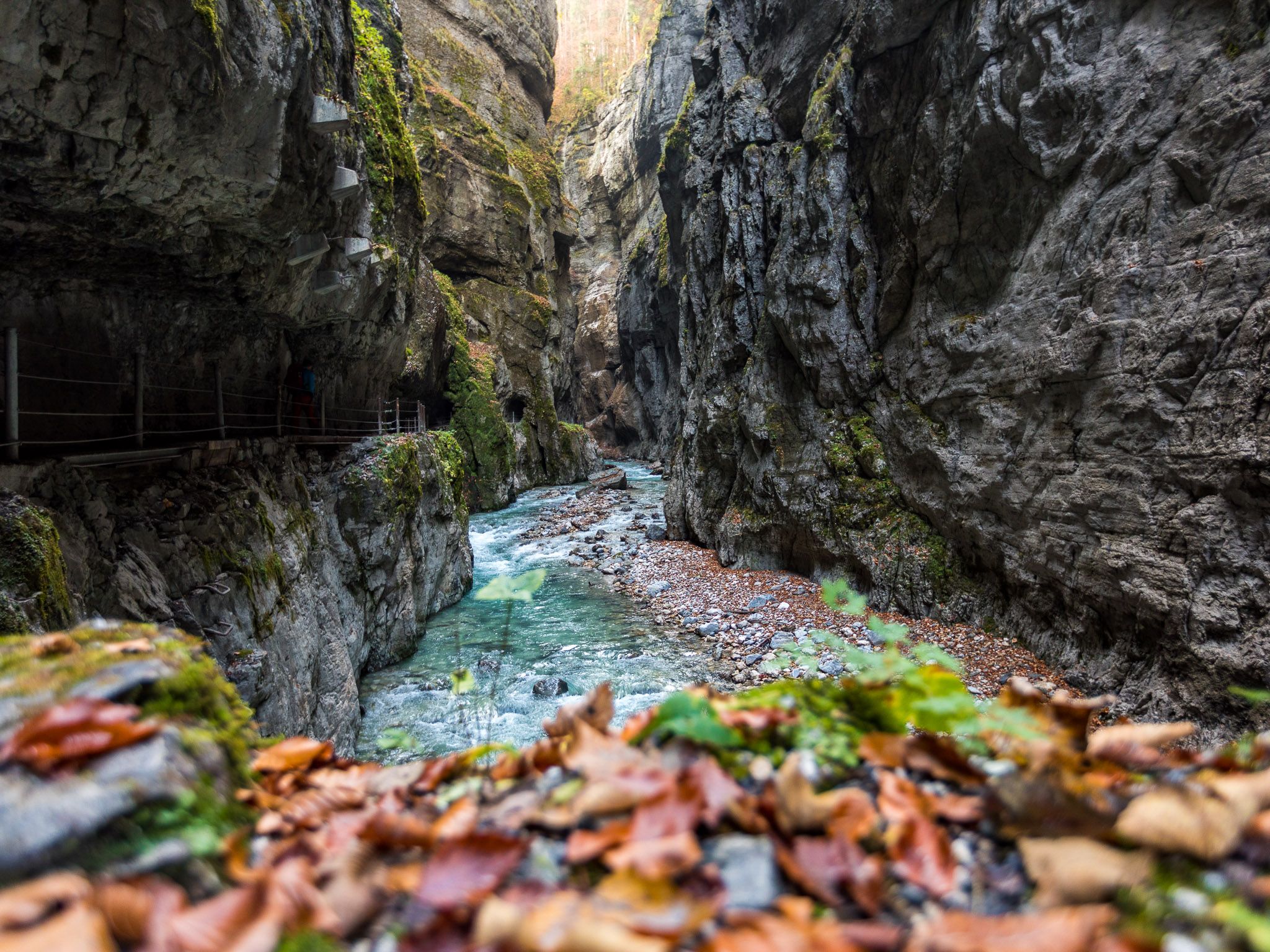
Watery German wonders — gorges and lakes in the Zugspitz Region
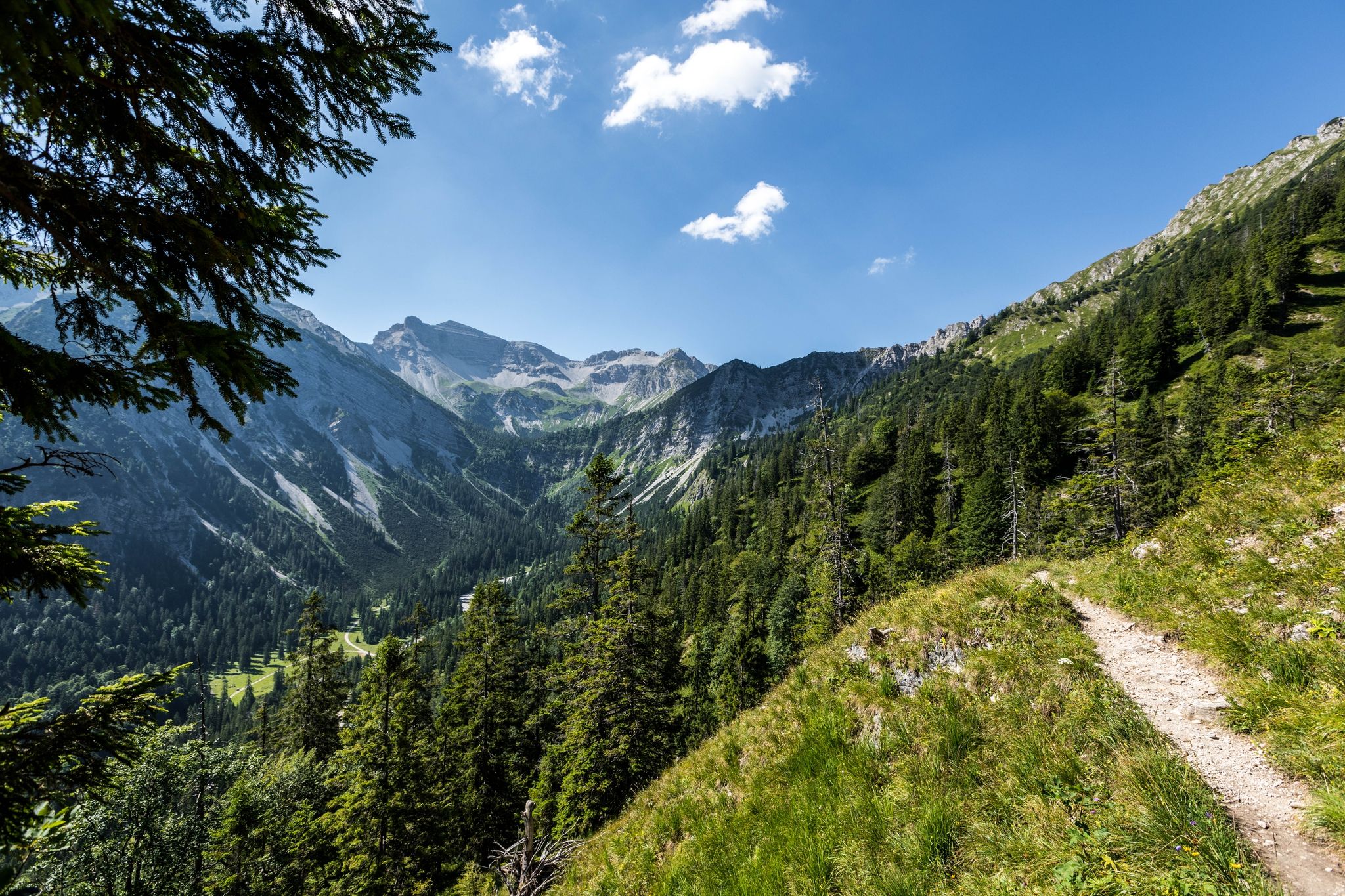
12 days through the Zugspitze region on the Spitzenwanderweg
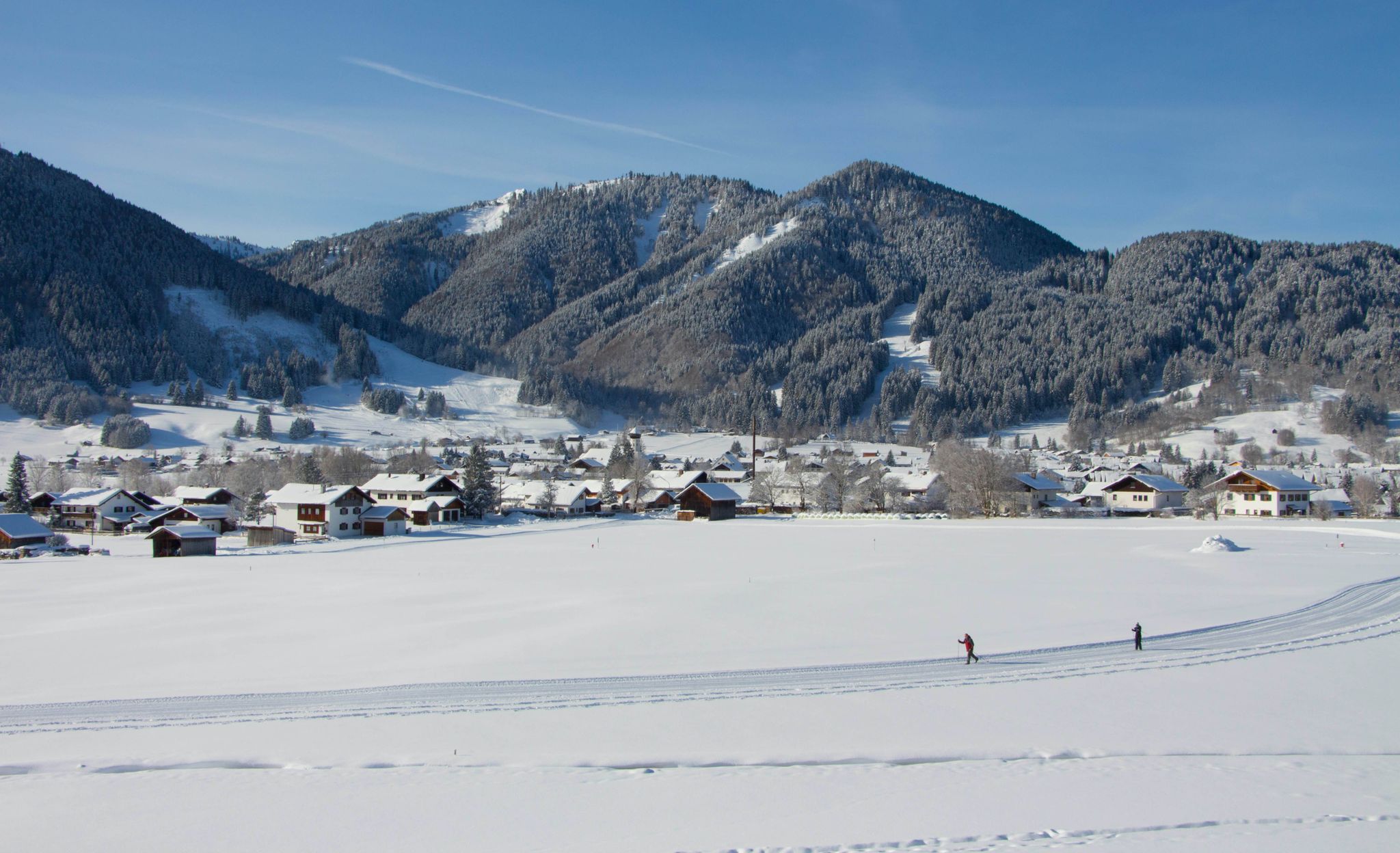
Auf ruhigen Loipen durch den Naturpark Ammergauer Alpen
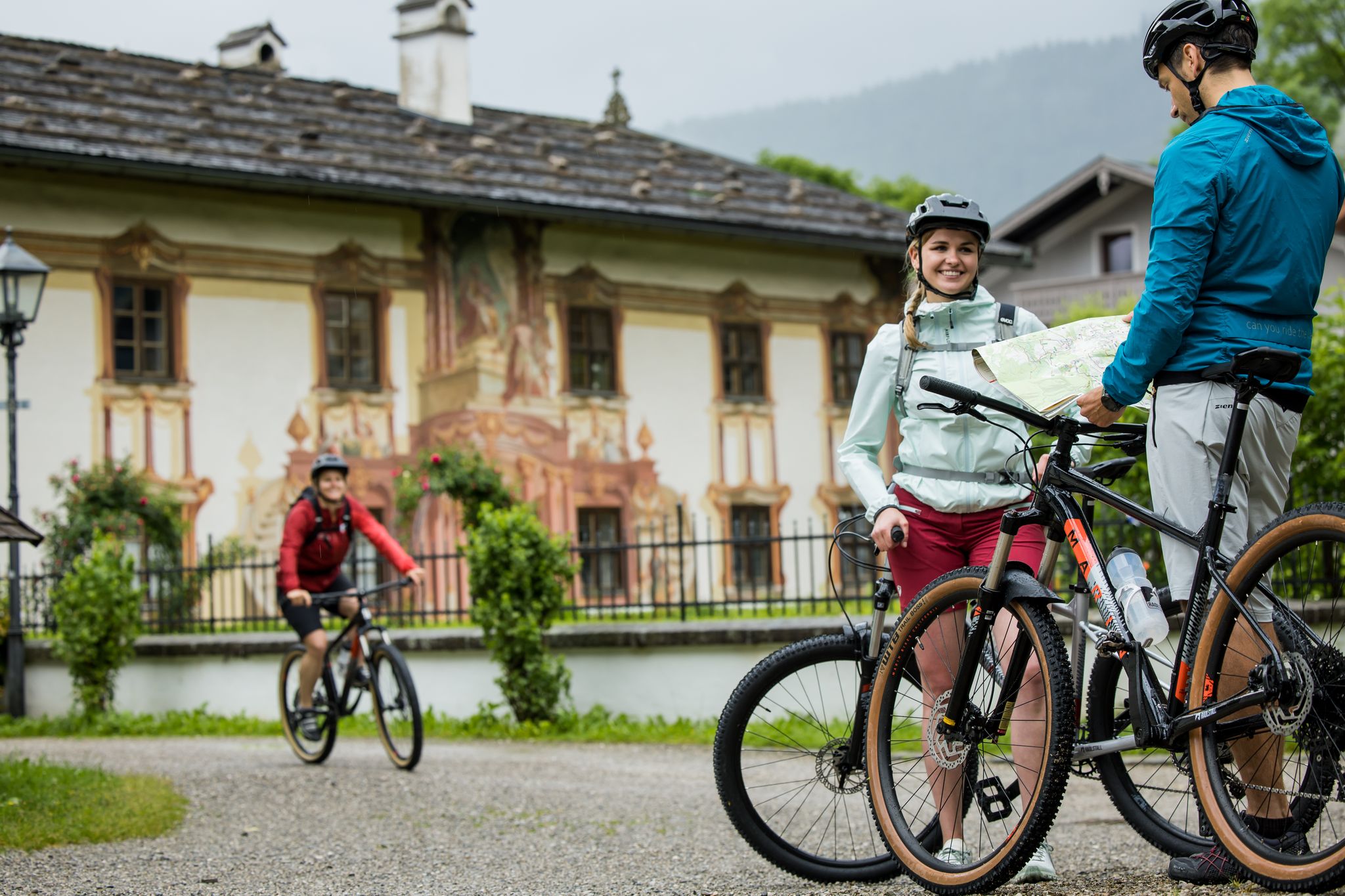
RadKulTouren durch den Naturpark Ammergauer Alpen
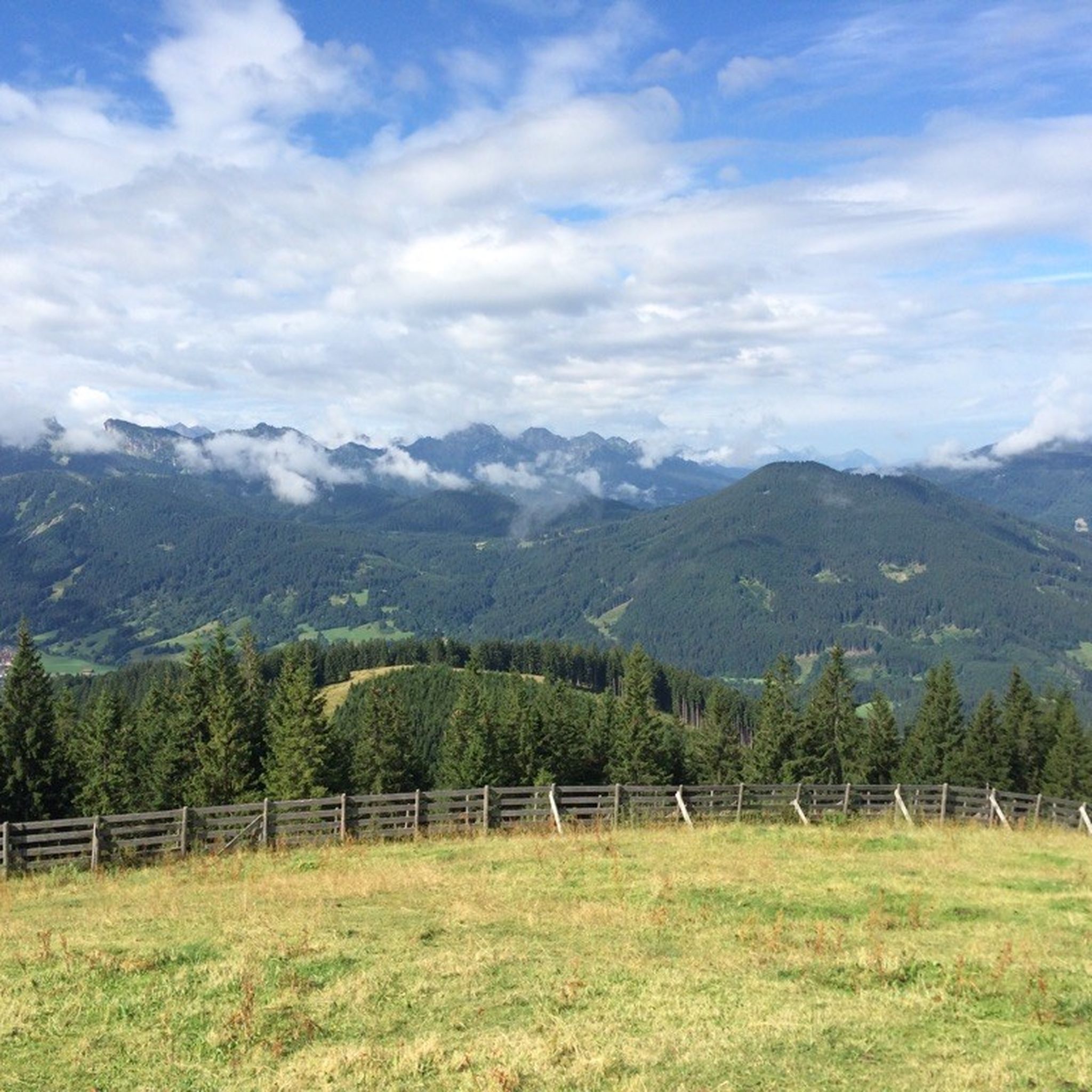
Hiking around Unterammergau
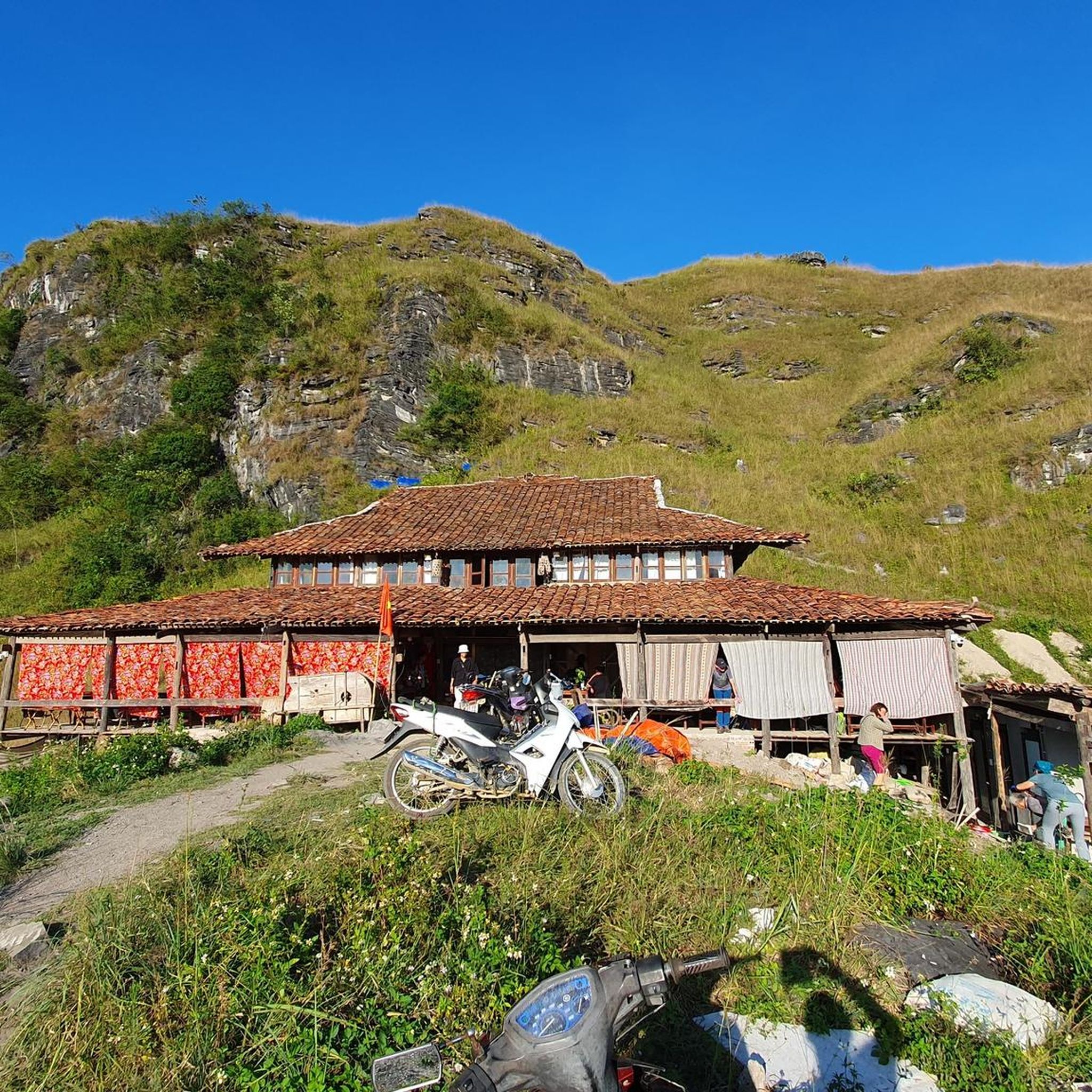
Mountain Hikes around Unterammergau
Road Cycling Routes around Unterammergau
Other adventures around Unterammergau


Tips from the Community


In terms of climb, it is quite doable, lots of traffic and not special in terms of views. This is very nice for descending!
0
0

Beautiful pass between Oberammergau and the Kenzenhütte
0
1

Also ideal for gravel bike riders! More tips for gravel bike adventures in the area at https://graveldeluxe.com or in my Komoot profile https://www.komoot.de/user/graveldeluxe
1
0

Its rocky face is an integral part of the townscape and offers a beautiful mountain tour with little difficulty and time.
3
0

Several hiking trails cross on the Bäckenalmsattel. In wet weather it is quite slippery up here.
3
1

Great view of the mountain peak - that makes every cyclist's heart beat faster
1
0

Along the Ammer you always have a view of the Kofel
2
0
Frequently Asked Questions
What are some notable mountain passes or elevated routes around Unterammergau?
The region offers several significant mountain routes and elevated crossings. Key spots include the Bäckenalm Saddle, a trail crossing amidst lush vegetation, and the Watershed in the Ammergebirge Nature Reserve, a geologically interesting area where water flows in two directions. Other notable experiences include the Pürschling Summit and Pürschlinghaus, the challenging ascent to the Kofel, and the Teufelstättkopf Summit Cross, all offering extensive views of the Ammergau Alps.
Are there family-friendly mountain passes or viewpoints in the area?
Yes, the View of the Wetterstein Mountains is considered family-friendly, offering panoramic vistas of the Wetterstein Mountains, the valley, and the river. Many routes also feature diverse terrain suitable for various ages, though some summit ascents require more experience.
What kind of natural features can I expect to see on these routes?
You can expect breathtaking panoramic views of the Ammergau Alps and beyond, especially from summits like Pürschling and Teufelstättkopf. The region also features enchanting forests, unique geological formations like the Watershed in the Ammergebirge Nature Reserve, and the serene Schleifmühlenklamm (Grinding Mill Gorge) with its waterfalls. Some routes, like the one from Plansee to Oberammergau, even pass by lakes.
What is the best time of year to explore the mountain passes around Unterammergau?
The best time for general hiking and mountain biking is typically from spring through autumn when trails are clear of snow and weather conditions are favorable. For unique experiences, the Schleifmühlenklamm is particularly beautiful in winter with frozen waterfalls and snow-laden walkways, offering a different kind of natural spectacle.
Are there challenging routes for experienced hikers?
Absolutely. The ascent to the Kofel, for instance, is a strenuous hike with ropes securing the final meters, offering an adventurous element and exceptional views. Routes to the Teufelstättkopf Summit Cross also involve steep, partially exposed paths. The Ammergau Alps generally offer significant elevation changes, with many routes functioning as challenging mountain crossings.
What outdoor activities can I do near these mountain passes?
Beyond exploring the mountain passes themselves, the region around Unterammergau is excellent for various outdoor activities. You can find numerous mountain hikes, such as the challenging 'Up the Stierkopf' or the 'Teufelstättkopf summit loop from Unterammergau'. For cyclists, there are road cycling routes like the 'Climb from Oberau to Ettal via Ettaler Sattel' and gravel biking options like the 'Königsrunde'. You can find more details on these activities in the Mountain Hikes around Unterammergau, Road Cycling Routes around Unterammergau, and Gravel biking around Unterammergau guides.
What do visitors enjoy most about the mountain passes around Unterammergau?
Visitors frequently praise the stunning panoramic views, especially of the surrounding Ammergau Alps and the Wetterstein Mountains. The diverse terrain, from lush forests to high-altitude crossings, and the sense of achievement upon reaching summits are also highly valued. The region's natural beauty and the well-maintained trails contribute to a rewarding outdoor experience.
Are there any specific tips for navigating the trails?
For routes like the Bäckenalm Saddle, be aware that it can be quite slippery in wet weather. When cycling on routes like the Climb from Oberau to Ettal via Ettaler Sattel, be mindful of traffic, as it's a Bundesstraße. Always check weather conditions and trail reports before heading out, especially for higher-altitude or exposed paths.
Can I bring my dog on the mountain pass trails?
Many trails in the Ammergau Alps are dog-friendly, allowing you to enjoy the natural beauty with your canine companion. However, it's always advisable to check specific trail regulations or local signage, especially in nature reserves or on routes that involve challenging sections like rope-secured climbs, to ensure a safe and enjoyable experience for both you and your dog.
Are there any unique geological features to observe?
Yes, the Watershed in the Ammergebirge Nature Reserve is a particularly interesting geological site. Here, water flows in two different directions: partly towards the Allgäu (Halblech) and partly towards Upper Bavaria (Halbammer), showcasing a fascinating natural phenomenon.
What are the typical trail conditions around Unterammergau?
Trail conditions vary significantly. You'll find wider forest roads, normal hiking trails, and steeper, partially exposed paths that may require a head for heights. Some routes, like the one between Graswang and Plansee, feature good road surfaces, while others, such as the Bäckenalm Saddle, can be slippery in wet weather. Overall, the region offers a mix of well-maintained paths and more rugged mountain terrain.
Most popular routes around Unterammergau
Most popular attractions around Unterammergau

Get inspired with the komoot mobile app


Explore more
See even more epic mountain passes by checking out these guides around Unterammergau:
