Top 20 Natural Monuments around Kraichtal
Best natural monuments around Kraichtal are located in the northeastern Karlsruhe district of Baden-Württemberg. This region features a variety of protected natural areas, offering diverse landscapes and ecological significance. Kraichtal is home to more than 10 protected natural objects, including extensive natural monuments and individual natural formations. These natural treasures provide opportunities for recreation and nature observation in the Kraichgau region.
Best natural monuments around Kraichtal
- The most popular natural monuments is Ehmetsklinge Reservoir, a lake that offers a…
Last updated: August 30, 2026
Ehmetsklinge Reservoir
Highlight • Lake
Translated by Google •
Tip by

Ungeheuer Gorge
Highlight (Segment) • Gorge
Translated by Google •
Tip by

Sign up now to discover places like this
Get recommendations on the best single tracks, peaks, & plenty of other exciting outdoor places.
Sign up for free
Michaelsberg
Highlight • Viewpoint
Translated by Google •
Tip by

Lake Pfannwald
Highlight • Lake
Translated by Google •
Tip by

St. Ottilien Chapel on the Ottilienberg
Highlight • Religious Site
Showing Translation
Tip by

Sign up for free to discover even more natural monuments around Kraichtal.
Sign up for free
Already have an account?
Start today with a free account
Your next adventure awaits.
Login or Signup
Popular around Kraichtal
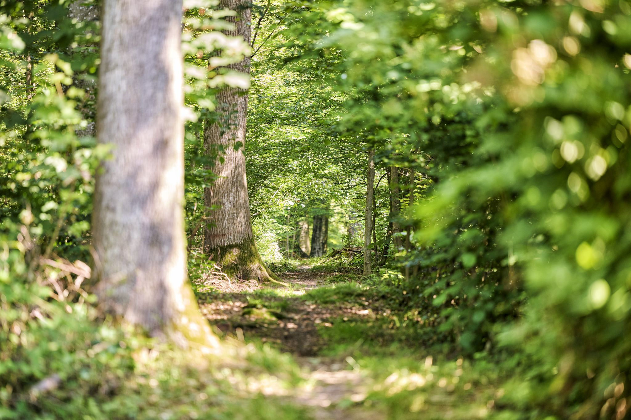
Trail running between woodlands & wine in the Land of 1000 Hills

Oases of calm – hill sofas in the land of 1,000 hills

Spring in the land of 1,000 hills – Kraichgau-Stromberg in Germany

Zu Fuß durchs Land der 1000 Hügel
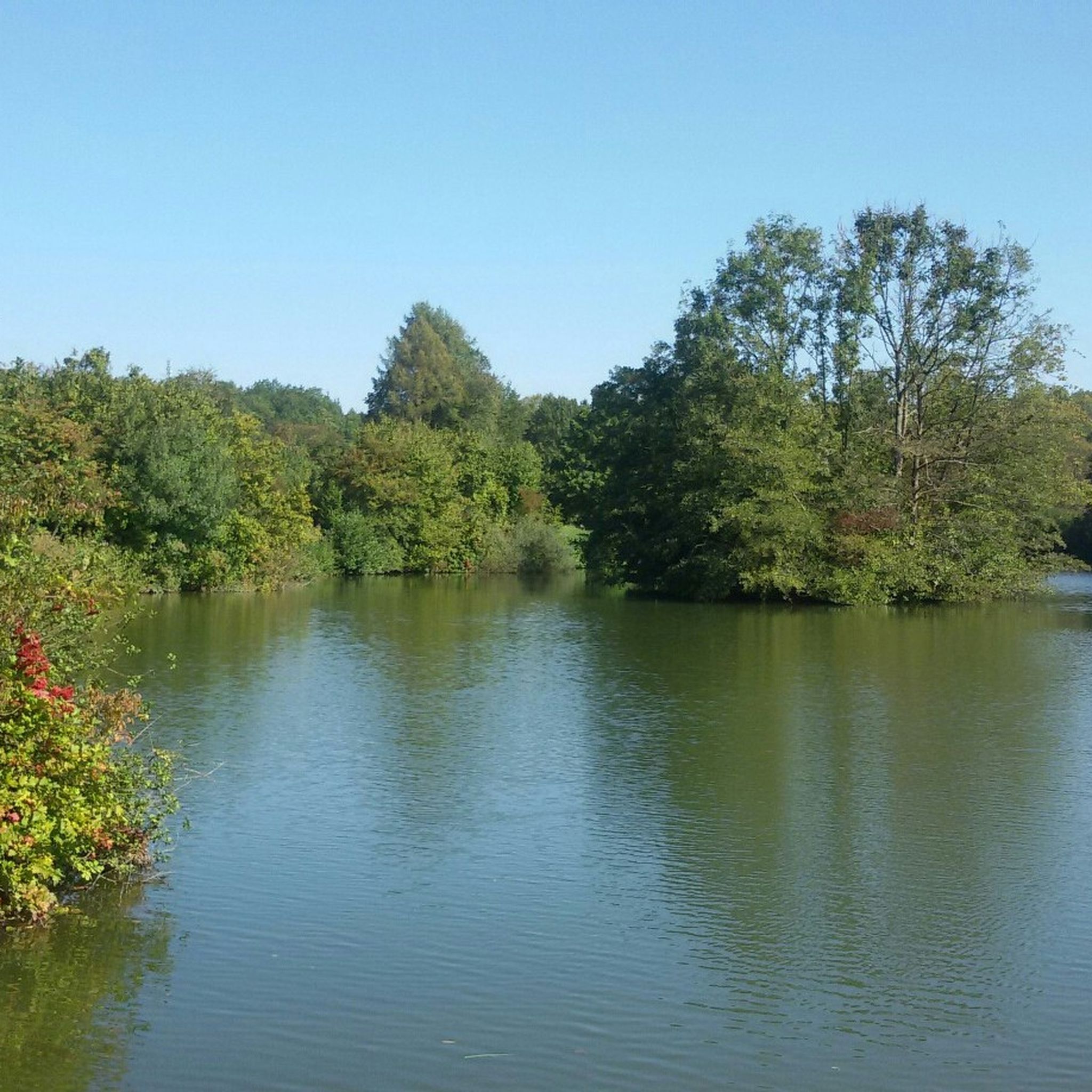
Hiking around Kraichtal
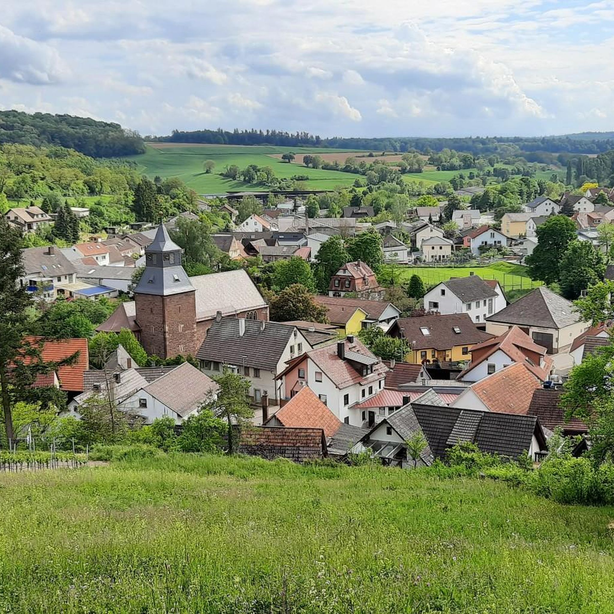
Cycling around Kraichtal
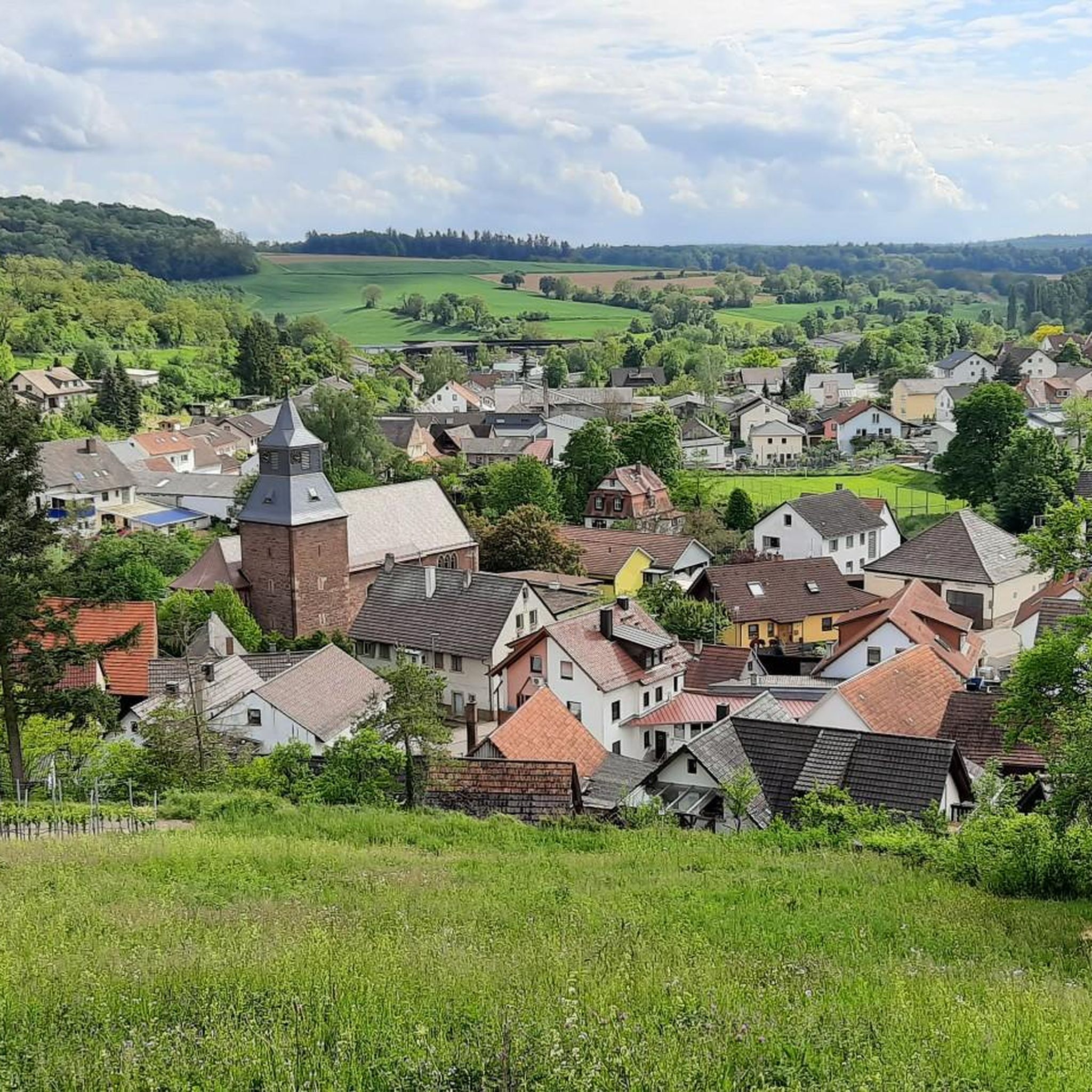
Running Trails around Kraichtal
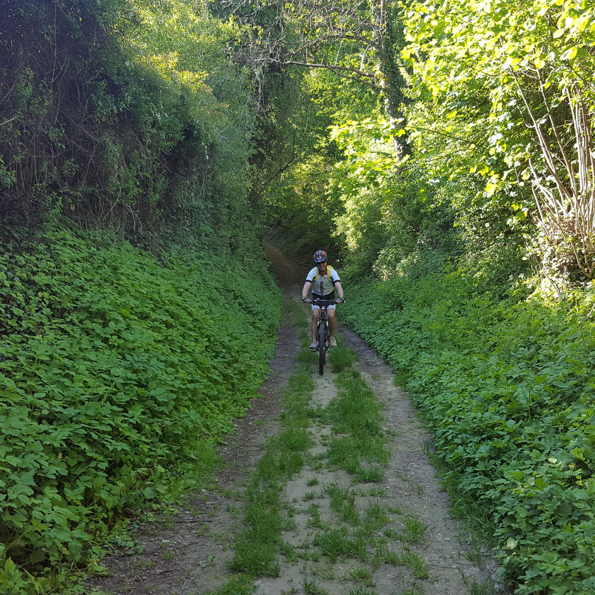
MTB Trails around Kraichtal
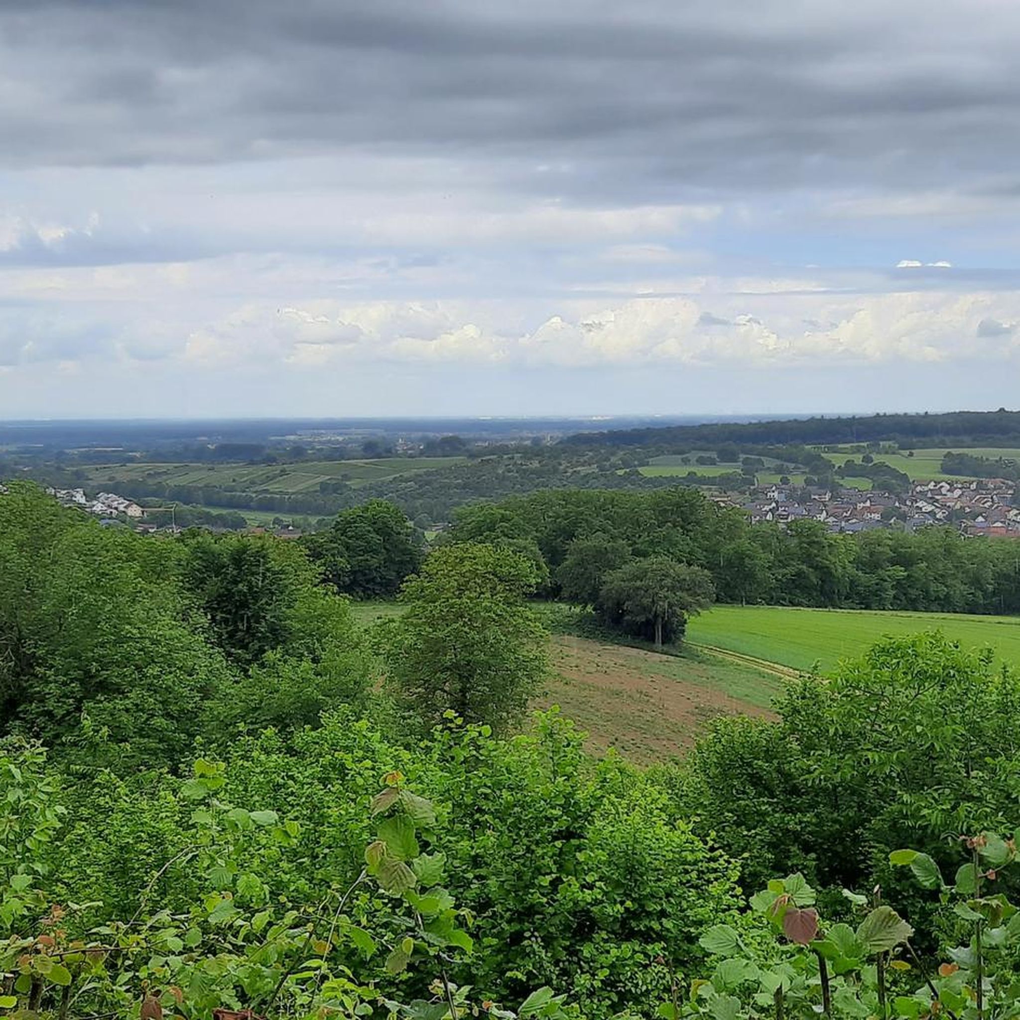
Road Cycling Routes around Kraichtal
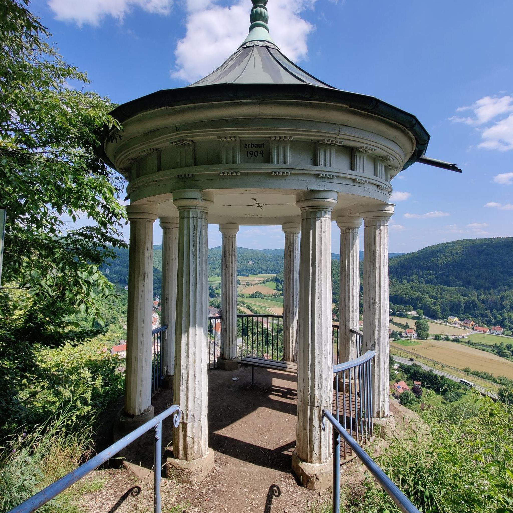
Gravel biking around Kraichtal
Other adventures around Kraichtal

Tips from the Community

The way up to Ottilienberg leads along a small steep path.
12
0
A new consecration and thus a new building of the chapel is recorded from the period around 1462/65. It probably consisted of the present choir with the beautiful star vault and the tower with antechamber and sacristy extension. A few years later, the current ruined nave was probably added. From earlier times, a "forest brother" or hermit is believed to have lived in the building next to the chapel. During the Reformation, all the sculptures were destroyed and the chapel closed. The "forest brother" became a "forest servant". The chapel survived the Thirty Years' War unscathed. In connection with the expansion of the Eppingen lines in 1695 - 1697, the chapel tower was given the function of a charter and was raised. In the 18th century, pilgrimages to the chapel ruins were again made from Eppingen. In 1771, the chapel was still completely intact, but without a roof. Due to agricultural use, the nave was demolished in the 19th century, except for a remnant in the west. In the last days of the war in 1945, the property next to the chapel was destroyed and the chapel was set on fire. In 1955, the city undertook extensive renovation and restoration of the chapel ruins. (Source: www.kath-eppingen.de)
9
0
Once a month - usually on the first Sunday of the month from 11 a.m. to 5 p.m. - the German Alpine Club, Eppingen district group, opens and manages the Ottilienberg tower.
20
1

The DAV Eppingen local group's hiking hut is currently open on the first Sunday of every month, whatever the weather.
10
0

Wonderful view from the top of the mountain which was settled over 6000 years ago... the chapel is freely accessible... there is an inn next door
13
0

The Michaelsberg is really something very special, but that's not just a saying
8
0
Beautiful chapel with a large rest area and covered seating
14
1

The lake is primarily used for flood protection on the Zaber. In summer, swimmers and other people looking for relaxation visit the lake with its bathing beach; Anglers can catch pike, zander and perch there, as well as rainbow trout, carp, tench, bream, catfish and eel. Sailing and motor boating, on the other hand, are prohibited on the lake. Walking and hiking trails of different lengths touch the Ehmetsklinge, including a 6.5 km long circular lake trail, which also connects it with the Katzenbachsee, which is almost 2 km to the east. A forest and tree as well as a wine educational trail also run near the lake. There are some inns by the lake. In May 2009, the new nature park center of the Stromberg-Heuchelberg nature park opened its doors on the lake shore. The lake was created between 1968 and 1970, inaugurated in June 1970 with a lake festival, and expanded in 2000 and 2001. EnBW, the operating company of the Neckarwestheim nuclear power plant, initiated the enlargement of the lake; Low water in the Neckar during the summer and legal requirements had previously led to a lack of cooling water in the reactor at this time of year, which now hardly ever occurs. In the north-eastern area near the dam it has a fairly constant width of around 250m, further up it branches into two peaks that reach into the valleys of Zaber in the south-west and Ehmehtsklingenbach in the west and reaches its greatest length of around 600m at the tributary of the latter. With normal traffic jams, the surface of the lake is 232m above sea level. NN. The expansion increased the crest height of the dam structure on the air side from 12.50m to 15.05m, the crest length of the dam from 320.50m to 335.50m, the water depth from 4.80m to up to 8m with permanent waterlogging, the water area from 7, 3ha to 13.8ha, the storage volume from 190,000m³ to 590,000m³. Annually from August 15th to December 31st, the Neckar can now be supplied with an additional volume of water of up to 400,000 cubic meters via the Zaber to compensate for the evaporation caused by the operation of some thermal power plants on its banks, but the flood protection in Zabergäu and the Increasing the water level in case of low water in the Zaber. During the expansion, around 10 hectares of arable land were converted into meadows, trees and shrubs were planted and the front dam was designated as a biotope. The costs for this and for a number of other measures were borne by the operators of a number of thermal power plants on the Neckar under the management of the Neckarwestheim nuclear power plant.
10
0
Frequently Asked Questions
What types of natural monuments can I explore in Kraichtal?
Kraichtal offers a diverse range of natural monuments, including extensive river lowlands like the Kraichbachniederung and Kraichbach- und Weiherbachaue, unique former clay pits such as the Tongrube Gochsheim, and historically significant sunken paths (Hohlwege). You can also find spring hollows like Ritterbruch and valuable semi-dry grasslands such as Halbtrockenrasen "Auf der kleinen Au".
Are there any natural monuments suitable for family outings in Kraichtal?
Yes, several natural monuments are great for families. The Ehmetsklinge Reservoir is ideal, offering a spacious lawn, clear water for swimming, pedal boat rentals, and a barbecue hut. Another family-friendly spot is Lake Pfannwald, which has seating, a Kneipp facility, a barbecue hut, and a forest playground.
What kind of wildlife can I expect to see in Kraichtal's natural areas?
Kraichtal's protected areas are rich in biodiversity. For instance, the Tongrube Gochsheim is particularly known for hosting one of Germany's largest populations of crested newts. The moist meadows and reed beds of the Kraichbachniederung provide habitats for various species, while the sunny embankments and lean grasslands of the Kleiner Kraichbach support specialized plant species and associated insect life.
Are there historical sites integrated with the natural monuments?
Yes, some natural monuments in Kraichtal also hold historical significance. The Hohlwege (sunken paths) are extensive natural monuments that are historical pathways carved deep into the landscape over centuries, blending cultural heritage with natural importance. Additionally, the Michaelsberg, a natural monument, has been settled for over 6000 years and features a chapel.
What outdoor activities can I do near Kraichtal's natural monuments?
The natural monuments around Kraichtal are perfect for various outdoor activities. You can enjoy hiking, cycling, and road cycling. For detailed routes, explore the easy hikes around Kraichtal, cycling routes around Kraichtal, or road cycling routes around Kraichtal.
Are there any natural monuments with unique geological features?
Absolutely. The Ungeheuer Gorge is a prime example, an approximately 15-meter deep and 1,500-meter long erosion gorge cut into shell limestone, making it a nature reserve known for its unique geological formations. The Tongrube Gochsheim, a former clay pit, also has geological interest due to the presence of numerous lime inclusions.
What is the best time of year to visit the natural monuments in Kraichtal?
The natural monuments in Kraichtal offer beauty throughout the year. Spring and summer are ideal for observing diverse plant life and active wildlife, especially amphibians in wetland areas like Tongrube Gochsheim. Autumn provides scenic views with changing foliage, while winter can offer tranquil, crisp walks, though some paths might be slippery after rain, particularly in areas like Ungeheuer Gorge.
Are there any natural monuments with good viewpoints?
Yes, several spots offer excellent views. The St. Ottilien Chapel on the Ottilienberg provides a wonderful panoramic view. Similarly, the Michaelsberg is a great place to enjoy expansive vistas of the surrounding landscape.
Can I bring my dog to the natural monuments in Kraichtal?
While many natural areas in Kraichtal are dog-friendly, it's generally recommended to keep dogs on a leash, especially within designated nature reserves, to protect local wildlife and plant species. Always check specific regulations for each site you plan to visit.
Are there places to eat or have a coffee near the natural monuments?
Yes, you can find options for refreshments. The Ehmetsklinge Reservoir has a lakeside kiosk and a small restaurant. Near the Michaelsberg, there is an inn next door. For other areas, local towns and villages within Kraichtal offer various cafes and restaurants.
How can I access the natural monuments around Kraichtal?
Many natural monuments in Kraichtal are accessible by car, with parking available nearby. Public transport options may vary, so it's advisable to check local bus or train schedules to the nearest towns or villages, from which you might need to walk or cycle to reach the specific natural monuments.
Most popular routes around Kraichtal
Most popular attractions around Kraichtal

Get inspired with the komoot mobile app


Explore more
Extend your search for the best caves by checking out these guides of the top ones around Kraichtal:
