Top 20 Natural Monuments around Frauenstein
Best natural monuments around Frauenstein showcase the diverse landscape of the Ore Mountains, featuring a mix of natural landmarks, historical water management systems, and unique geological formations. This region offers opportunities to explore significant natural sites and scenic viewpoints. The area is characterized by its forests and a landscape shaped by both natural processes and historical human activity.
Best natural monuments around Frauenstein
- The most popular natural monuments is Sluice ponds, a lake that was likely created for mining…
Last updated: June 23, 2026
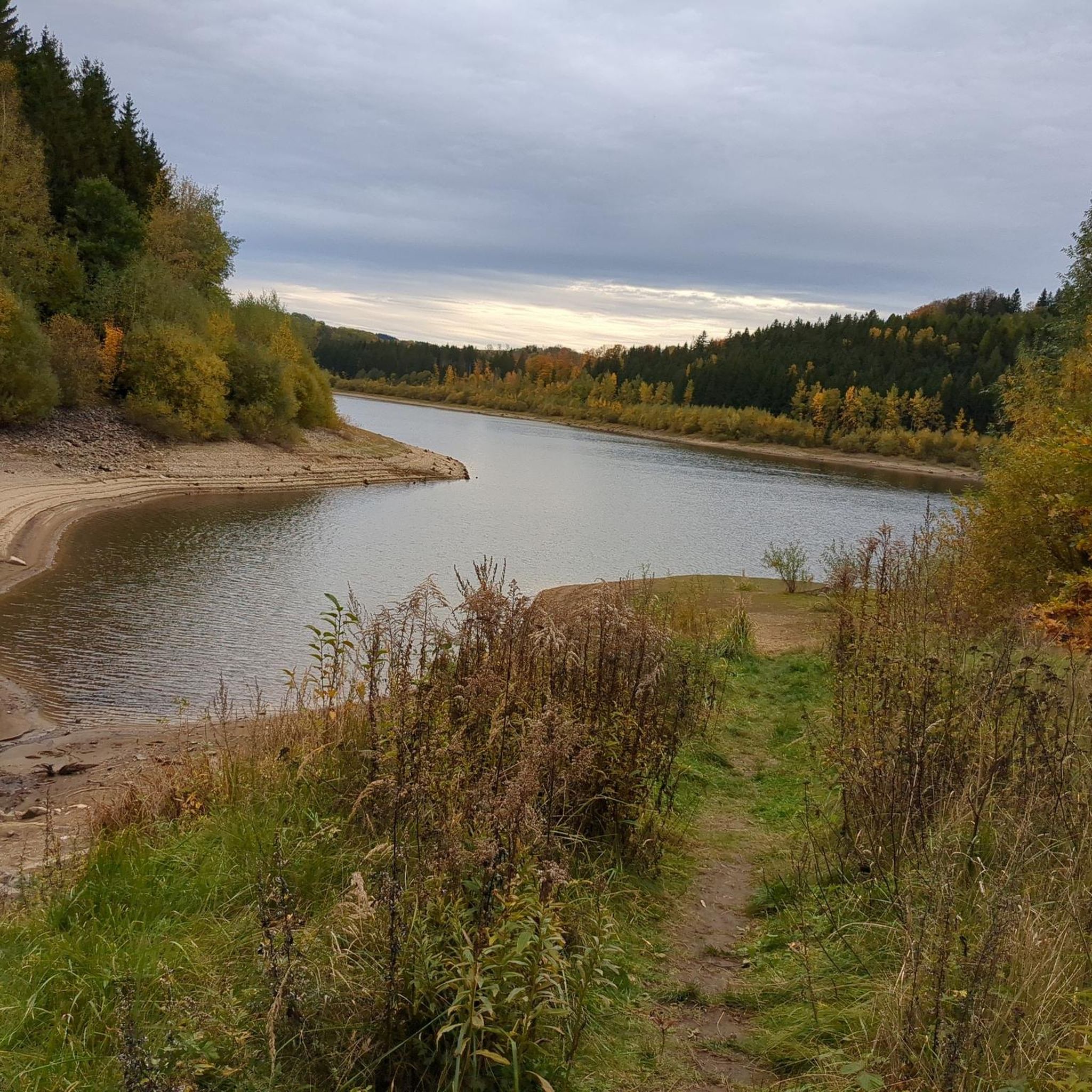
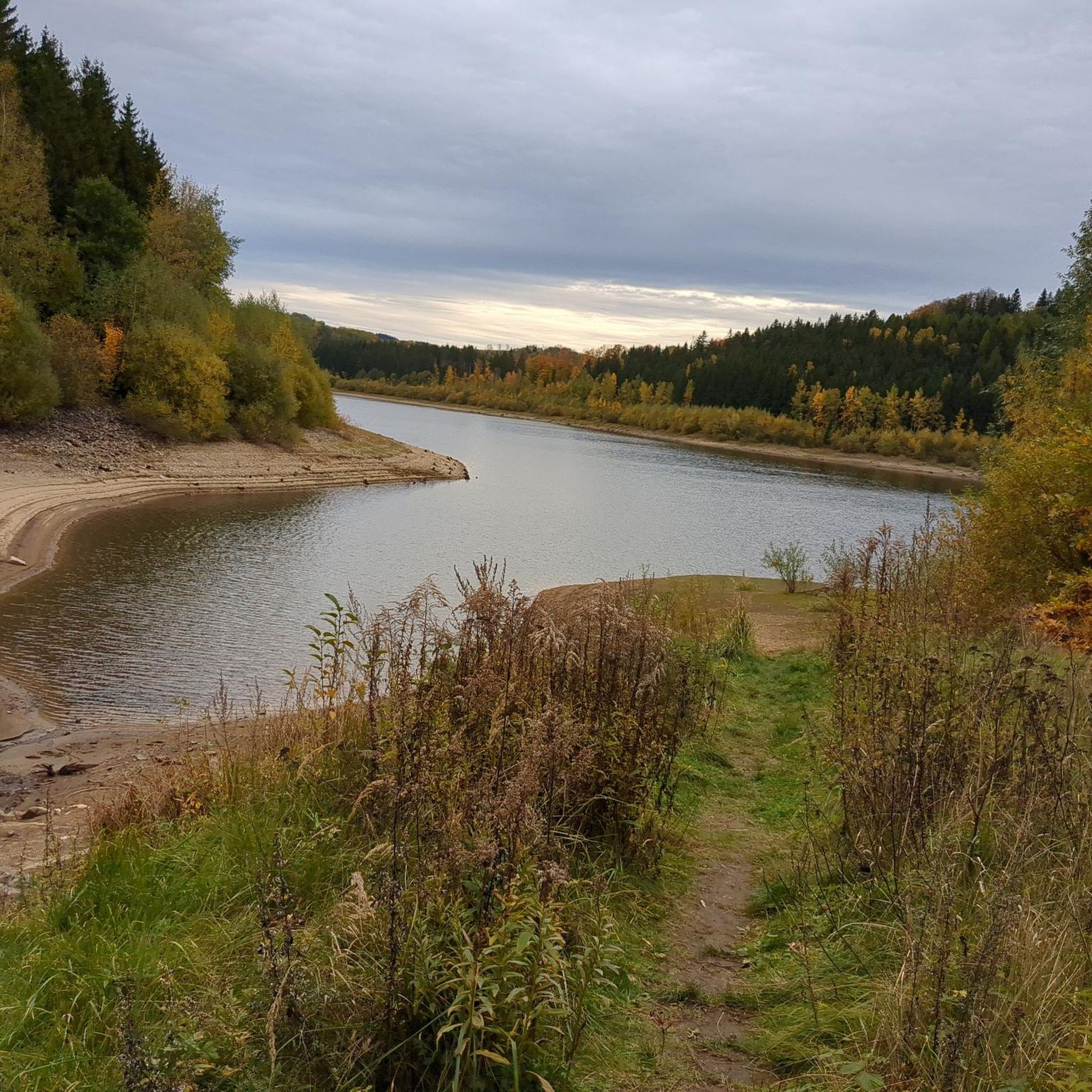
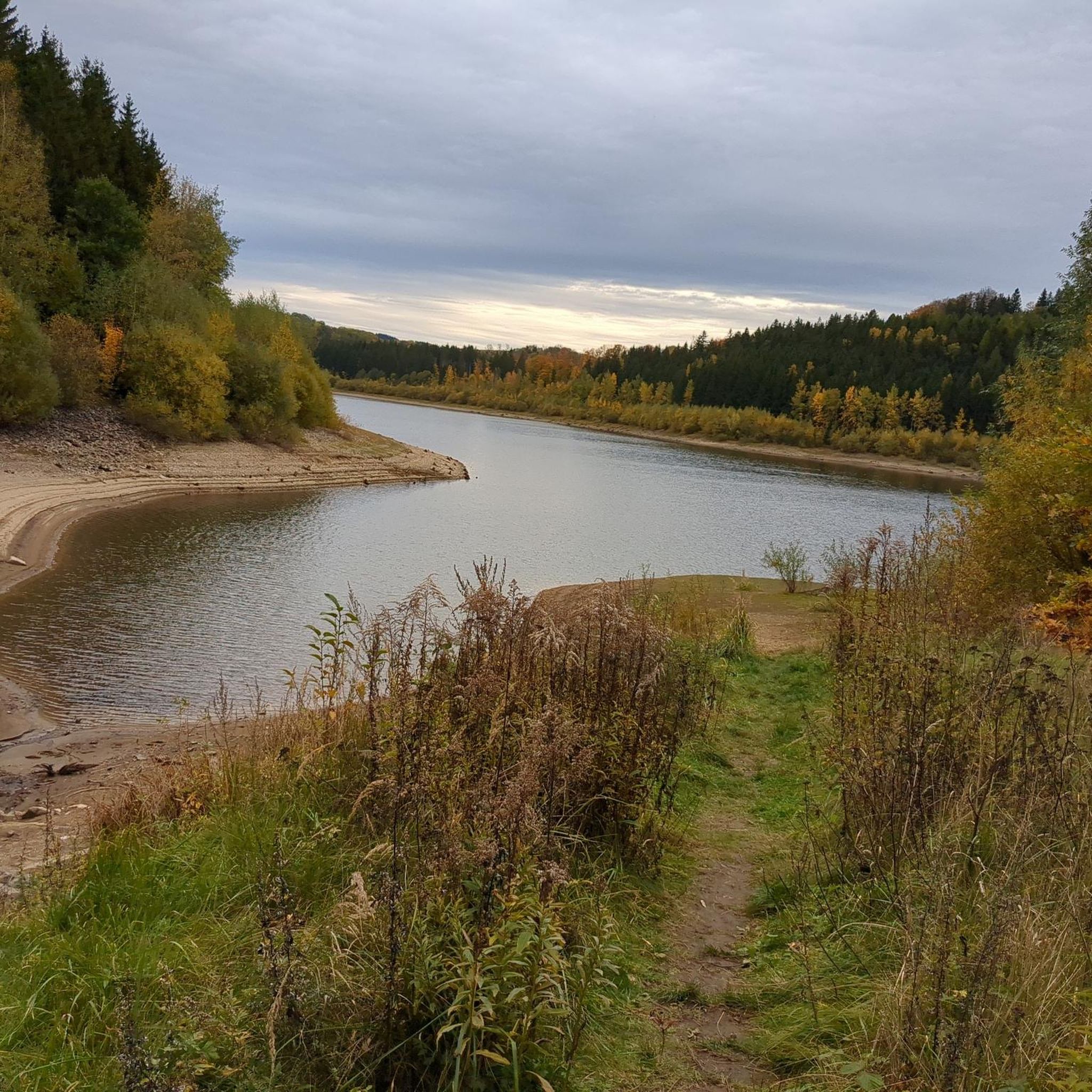
Klingenberg Forebay Dam
Highlight • Structure
Translated by Google •
Tip by

Geographical Center of Saxony
Highlight • Monument
Translated by Google •
Tip by

Sign up now to discover places like this
Get recommendations on the best single tracks, peaks, & plenty of other exciting outdoor places.
Sign up for free
Dorotheenfelsen
Highlight • Natural Monument
Translated by Google •
Tip by

Rock sea at Stephanshöhe
Highlight • Natural Monument
Translated by Google •
Tip by

Sluice ponds
Highlight • Lake
Translated by Google •
Tip by

Sign up for free to discover even more natural monuments around Frauenstein.
Sign up for free
Already have an account?
Start today with a free account
Your next adventure awaits.
Login or Signup
Popular around Frauenstein

Flying high on two wheels – bike holidays in the Ore Mountains
Full steam ahead – cycling through railway history around Dresden
Wandertouren - Handwerk & Heimatgenuss

BLOCKLINE – Dein Bike-Abenteuer im Erzgebirge
BLOCKLINE-Gesamtstrecke in 5 Tagen – Bike-Urlaub im Erzgebirge
Hiking around Frauenstein
Road Cycling Routes around Frauenstein
Cycling around Frauenstein
Running Trails around Frauenstein
MTB Trails around Frauenstein
Other adventures around Frauenstein


Tips from the Community


Geographical Center of Saxony. Information: This marker, a granite stele in front of the Diebskammerfelsen (Thieves' Chamber Rock), was erected because the official geographical center (not far from here) was only developed for tourism in 1995.
2
0

The stream that has been dammed to form the alluvial ponds flows into the Mortelgrund at the Mortelmühle. Overall, the area with its bodies of water, riverbanks, mountain meadows and wet meadows represents a very valuable habitat.
4
1

Beautiful place with a great view. The sea of stones at Stephanshöhe is a station on the 14x8000 and was probably also the devil's place of refuge, according to the story on the information board.
5
0

The Stephanshöhe is one of the eight-thousanders in the Ore Mountains. You will need to bring an ink pad or pencil with you to the stamp office. A bench invites you to take a break.
3
0

Steinmeer at the Stephanshöhe The Steinmeer is located on the western edge of the approximately 15 km² Schellerhauer granite. In the period between Carboniferous and Permian, this rose as molten magma in the gneiss of the Erzgebirge basement and in the surrounding Teplice rhyolite and solidified below the earth's surface. Over time, the Schellerhauer granite was exposed by erosion. The penetration of the Schellerhauer and other granites in the Altenberg area was accompanied by a partial transformation of the adjacent rock. This also prevents the formation of numerous deposits, e.g. B. of tin and iron connected. The Teplice rhyolite here, which was heavily stressed by the geological processes mentioned, was gradually broken down to block and stone size, mainly by frost weathering. The Steinmeer on the Stephanshöhe is a witness to this process.
2
1

The Dorotheenfelsen is a rocky outcrop on the eastern bank of the Klingenberg dam, which consists of orthogneiss. Gently rising slopes usually line the edges of the Klingenberg dam. But at one point there is a large ledge right on the path. A small sign tells the hiker that this is the Dorotheenfelsen. According to legend, the beautiful miller's daughter from the wood mill met her lover here. The old mill is now hidden by the water of the dam, the rock is still standing and at its foot you can sit on a bench. If you want, you can also climb up (caution, there is no path) and enjoy the beautiful view over the reservoir. - https://www.dresden-elbland.de/de/poi/geotop/dorotheenfelsen-klingenberg/60324250/
0
0

Frequently Asked Questions
What are some of the most popular natural monuments to visit around Frauenstein?
Visitors particularly enjoy the Sluice ponds, which offer a tranquil forest setting and a rich history tied to 15th-century mining. Another highly regarded spot is the Geographical Center of Saxony, marked by a granite stele, making it a unique landmark. The Rock sea at Stephanshöhe is also a favorite, known for its expansive views and as part of the 14x8000 peaks.
Are there family-friendly natural monuments in the Frauenstein area?
Yes, several natural monuments are suitable for families. The Sluice ponds are a great option, offering a peaceful forest environment. The Geographical Center of Saxony is also considered family-friendly, providing an interesting landmark to visit. Additionally, the Lichtenberg Dam is a good choice for families, with its walk-on wall and scenic views.
What kind of natural features can I expect to see around Frauenstein?
The Frauenstein region is characterized by diverse natural features, including historical water bodies like the Sluice ponds and the Lichtenberg Dam. You'll also find impressive rock formations such as the Rock sea at Stephanshöhe and the Dorotheenfelsen, which offer stunning viewpoints over the landscape and reservoirs.
Are there any viewpoints among the natural monuments in Frauenstein?
Absolutely. The Rock sea at Stephanshöhe is renowned for its beautiful views, being part of the 14x8000 peaks. The Dorotheenfelsen also provides excellent vistas over the Klingenberg dam, especially during the foliage-free season. Furthermore, the Lichtenberg Dam offers wonderful panoramic views from its walkable wall.
What outdoor activities can I do near the natural monuments in Frauenstein?
The area around Frauenstein offers a variety of outdoor activities. You can explore numerous MTB trails, enjoy scenic cycling routes, or go for a run on the dedicated running trails. Many of these routes pass by or offer access to the natural monuments, allowing you to combine your activity with sightseeing.
What is the best time of year to visit the natural monuments around Frauenstein?
While the region is beautiful year-round, spring and autumn are particularly appealing. Spring brings lush greenery and pleasant temperatures for outdoor activities. Autumn offers vibrant fall foliage, especially around the forested areas and dams like the Lichtenberg Dam, making for picturesque views. Summer is also great for enjoying the tranquility of spots like the Sluice ponds.
Are there any historical natural monuments in the Frauenstein region?
Yes, the region has natural monuments with historical significance. The Sluice ponds, for instance, were likely created in the 15th century for mining purposes and later used for washing sheep. The Lichtenberg Dam, built between 1967 and 1973, is also considered a historical site, commemorating its construction and featuring technical-historical elements like its ring piston valve.
What do visitors enjoy most about the natural monuments in Frauenstein?
Visitors frequently highlight the peaceful and contemplative atmosphere, especially at places like the Sluice ponds. The stunning panoramic views from spots like the Rock sea at Stephanshöhe and the Dorotheenfelsen are also highly praised. Many appreciate the blend of natural beauty with the historical context of the sites.
How long should I plan for a visit to the natural monuments?
The duration of your visit depends on how many monuments you wish to see and what activities you plan. For individual highlights like the Geographical Center of Saxony or the Sluice ponds, a few hours might suffice. If you plan to combine multiple sites with a longer hike or bike ride, you could easily spend a full day exploring the region's natural beauty.
Are there any natural monuments that are particularly good for photography?
The Rock sea at Stephanshöhe offers fantastic photo opportunities with its expansive views. The Lichtenberg Dam provides scenic backdrops, especially with its water and surrounding landscape. The tranquil setting of the Sluice ponds also makes for beautiful nature photography, capturing reflections and forest scenes.
Can I find circular walks that include natural monuments in Frauenstein?
Yes, the region is well-suited for circular walks. Many of the natural monuments are integrated into existing trail networks. For example, you can find various running trails and cycling routes that form loops, allowing you to visit several points of interest, including natural monuments, before returning to your starting point.
Most popular routes around Frauenstein
Most popular attractions around Frauenstein

Get inspired with the komoot mobile app


Explore more
Extend your search for the best caves by checking out these guides of the top ones around Frauenstein:
