Top 20 Natural Monuments around Burgbernheim
Natural monuments around Burgbernheim offer diverse natural landscapes and unique geographical features. The region is characterized by its location within the Naturpark Frankenhöhe and its connection to the European Watershed, where water flows to either the Black Sea or the North Sea. Visitors can explore significant natural sites such as the Altmühl River's source and extensive orchards. The area provides opportunities to experience varied flora and fauna across its natural monuments.
Best natural monuments around Burgbernheim
- The most popular natural…
Last updated: June 23, 2026
Tauber River
Highlight • River
Translated by Google •
Tip by

Source of the Altmühl (Hornauer Pond)
Highlight • Lake
Translated by Google •
Tip by
Sign up now to discover places like this
Get recommendations on the best single tracks, peaks, & plenty of other exciting outdoor places.
Sign up for free
Hirschteich (Altmühl spring)
Highlight • Lake
Translated by Google •
Tip by

Hohenlandsberg Castle Ruins
Highlight • Castle
Translated by Google •
Tip by

Steinbachtal Valley
Highlight (Segment) • Gorge
Translated by Google •
Tip by
Sign up for free to discover even more natural monuments around Burgbernheim.
Sign up for free
Already have an account?
Start today with a free account
Your next adventure awaits.
Login or Signup
Popular around Burgbernheim
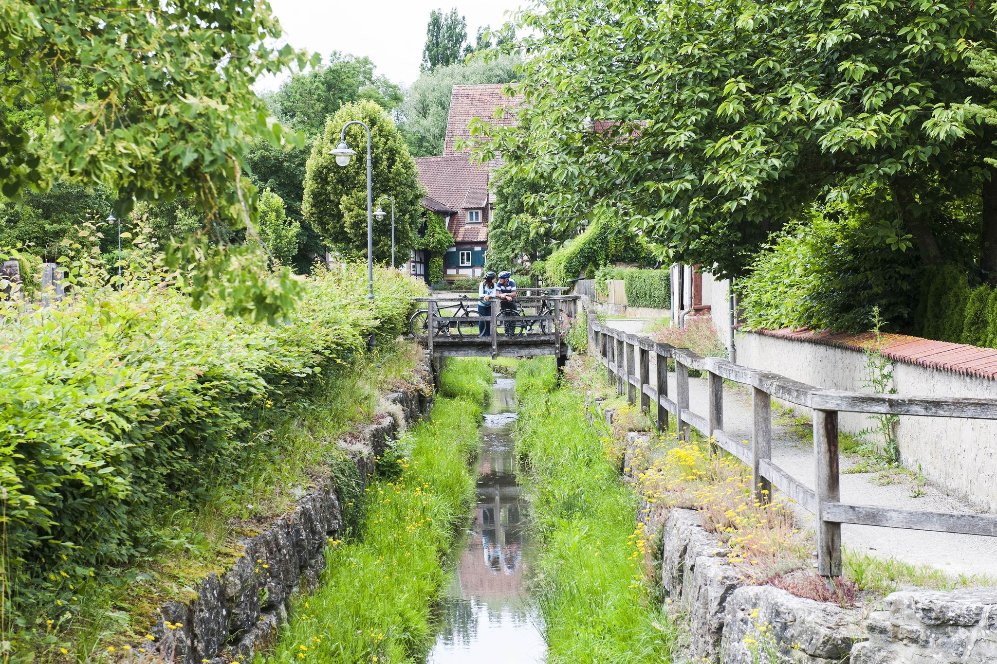
Fun, nature and culture – discover Franconia by bike
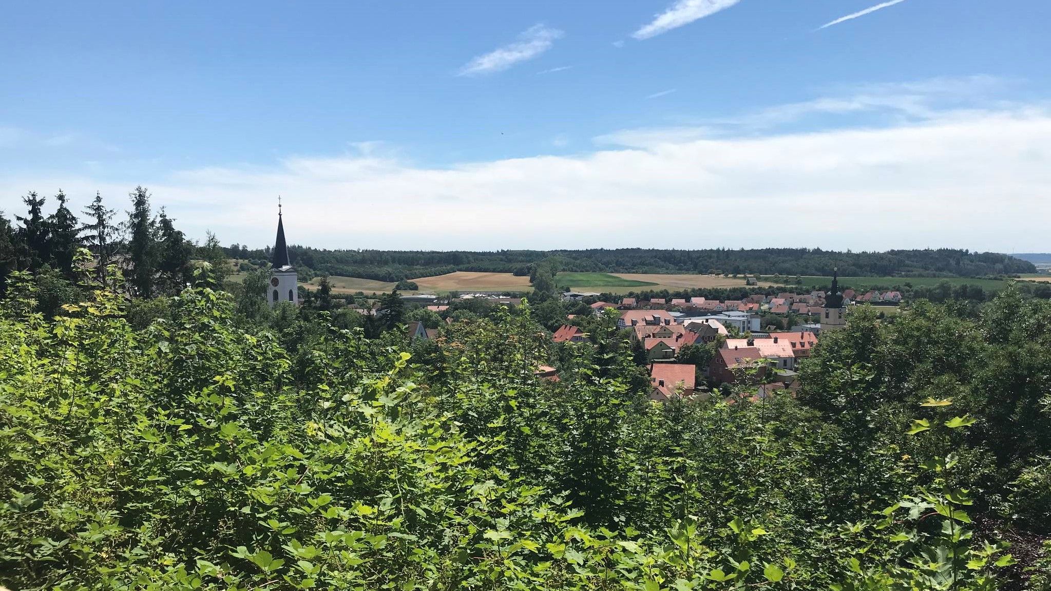
Hike through Franconia in Germany – European Watershed Trail
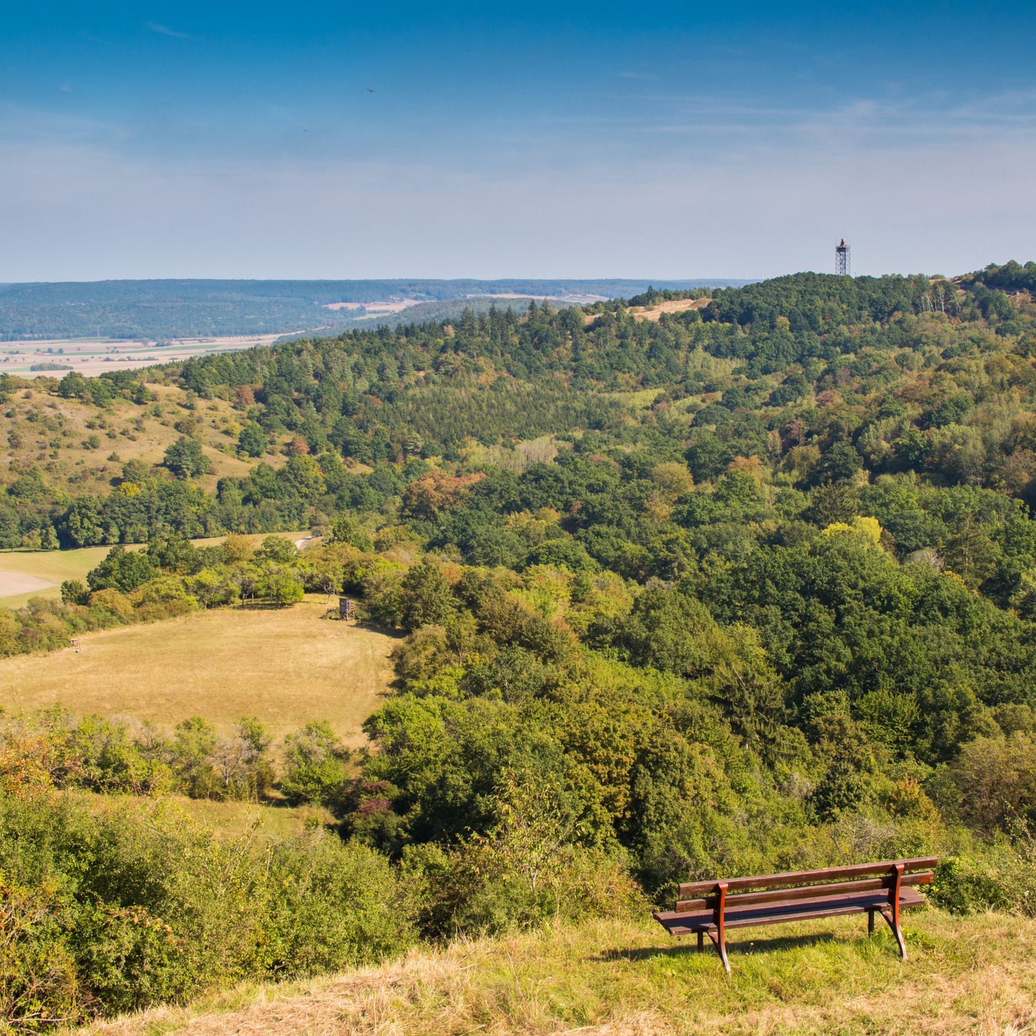
Hiking around Burgbernheim
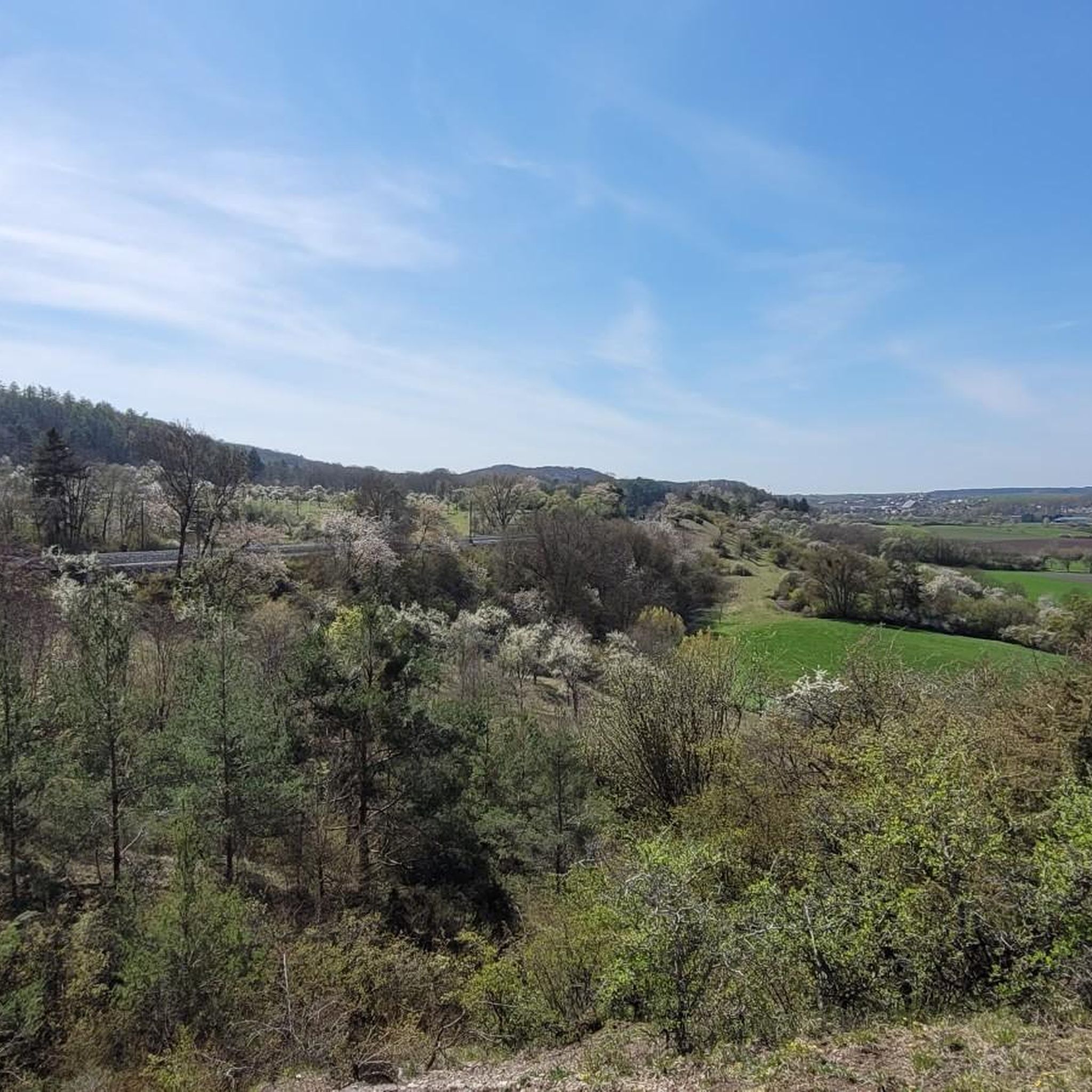
Cycling around Burgbernheim
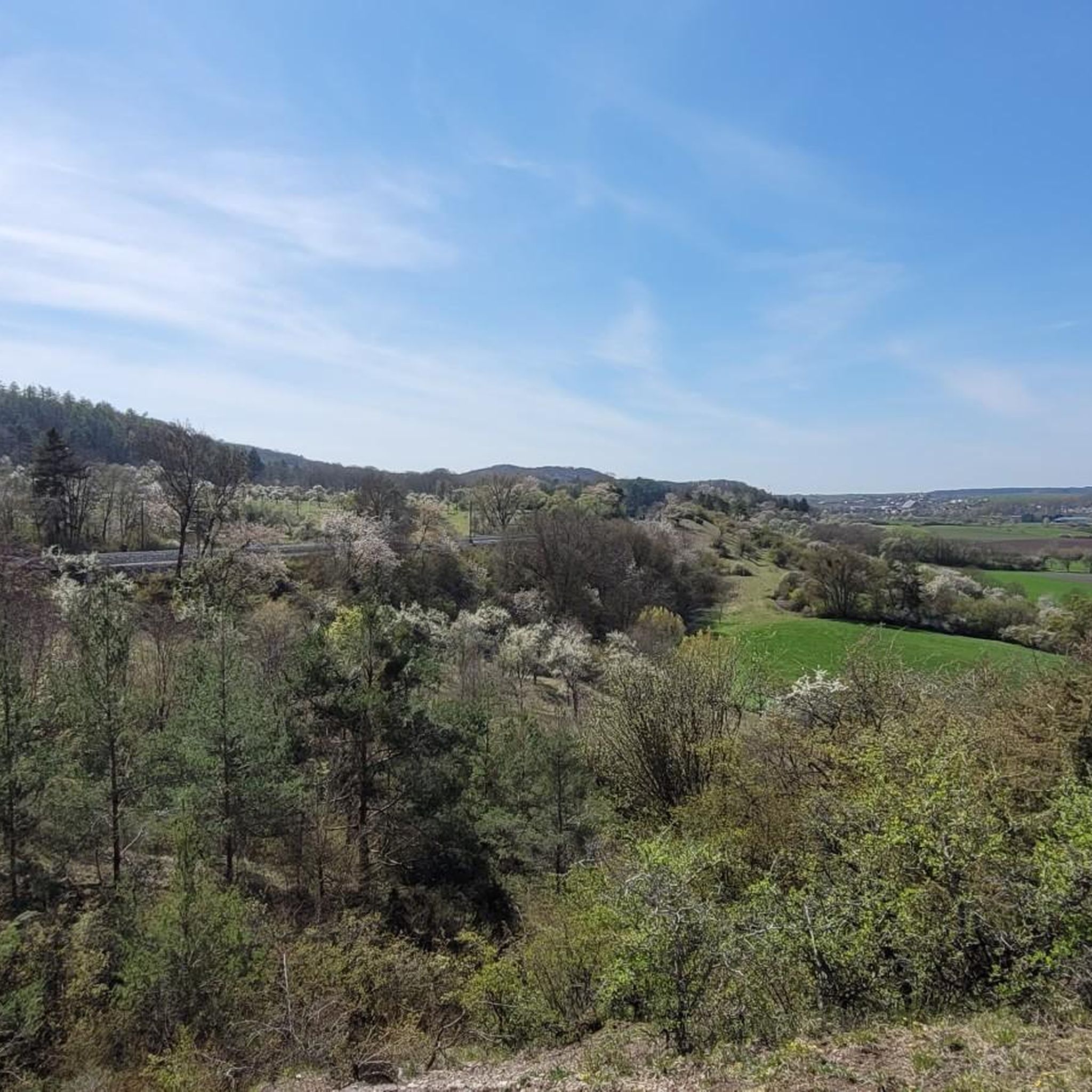
Running Trails around Burgbernheim
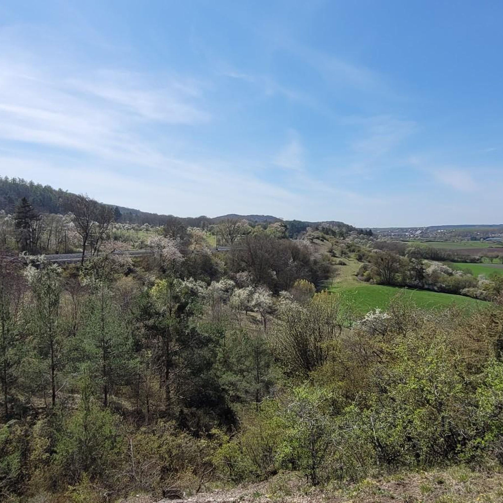
Road Cycling Routes around Burgbernheim
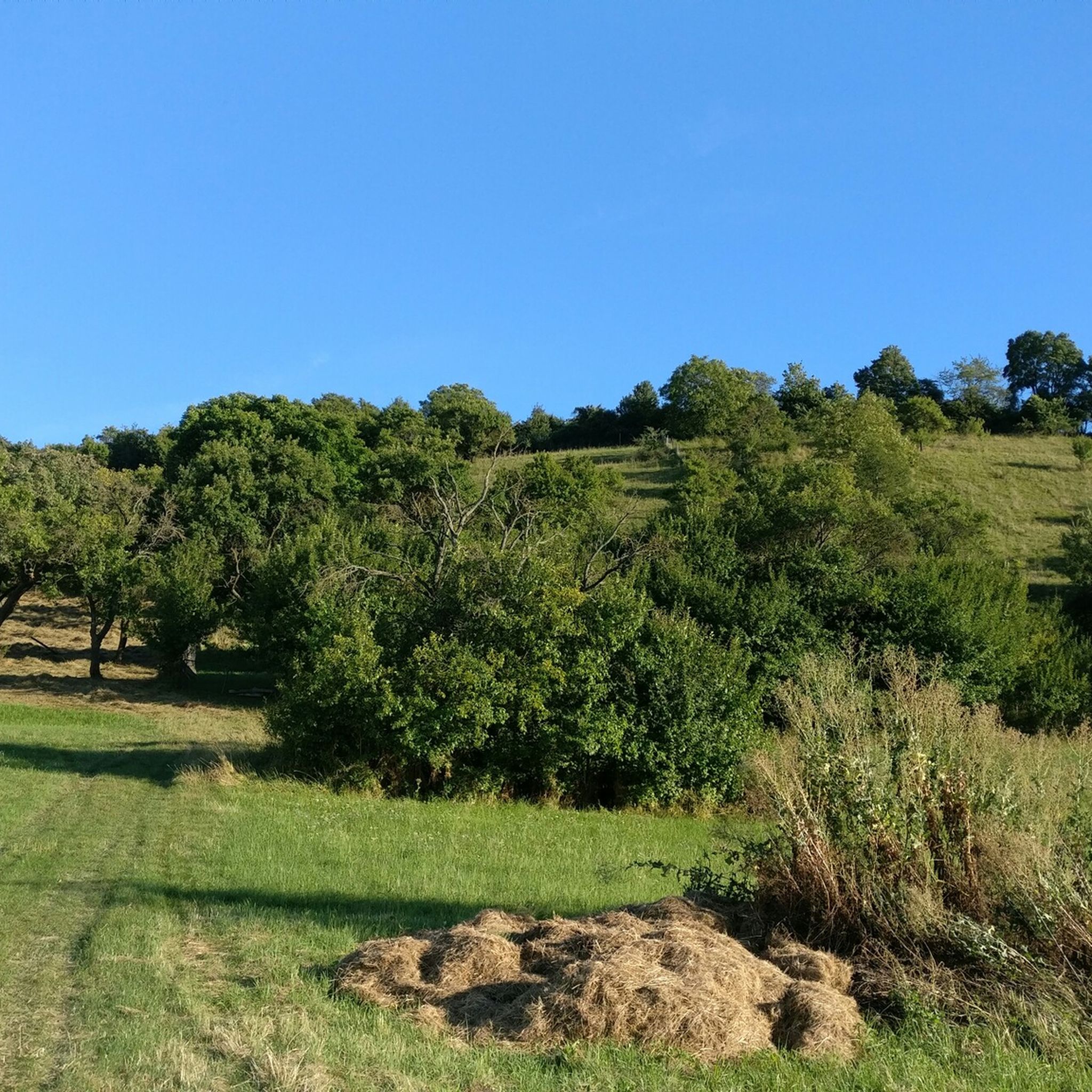
MTB Trails around Burgbernheim
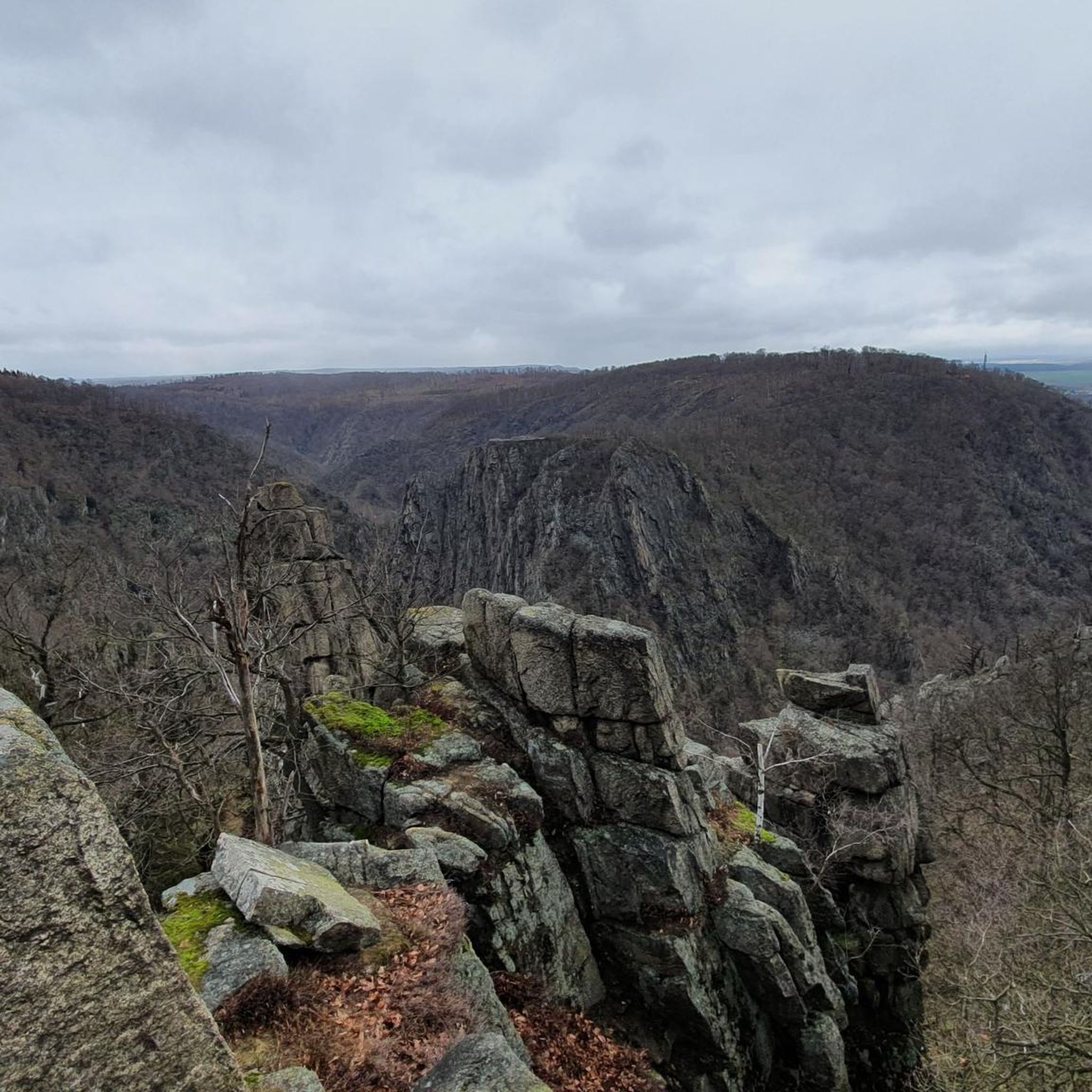
Gravel biking around Burgbernheim


Tips from the Community

Beautifully situated and very helpful in bad weather, but also suitable as protection from the sun in midsummer.
8
0

The Hirschteich is considered to be one of the three Altmühl sources. However, since this source dries up again and again in dry periods, it is considered unlikely. Since 1904, the Hornauer Weiher has been officially designated as the Altmühl source.
8
0

Beautiful, natural valley, just the right place to unwind.
3
0
The Hohenlandsberg castle ruins are the remnants of the former Hohenlandsberg castle. The castle was built in the 13th century. built. During the Peasants' War in 1525, the castle was taken unscathed by the farmers. In 1554 the castle was destroyed. Today you can enter the castle complex through a tunnel and view the ramparts, foundation walls and the entrances to the casemates.
12
0
The steep section is tough. Not for people who aren't really good on foot.
9
0
The Hornauer Weiher is considered to be the origin of the Altmühl, but it is probably the nearby deer pond.
8
2
The Hornauer Weiher is officially considered to be the source of the Altmühl, but it is probably the nearby Hirschteich.
9
2
Frequently Asked Questions
What are some of the most popular natural monuments to visit around Burgbernheim?
Visitors frequently enjoy the serene Steinbachtal Valley, known for its peace and beautiful scenery. The Tauber River is also a favorite, offering idyllic spots for rest along the “Lovely Taubertal” cycle path. Additionally, the Hohenlandsberg Castle Ruins, considered a natural monument, provides historical interest with well-preserved casemates and foundation walls on a 498-meter high peak.
Are there family-friendly natural monuments in the Burgbernheim area?
Yes, several natural monuments are suitable for families. The Steinbachtal Valley is a great option for a peaceful outing. The Tauber River offers gentle paths for cycling or walking. The Source of the Altmühl (Hornauer Pond) and the Hirschteich (Altmühl spring) are also noted as family-friendly, providing tranquil settings for relaxation.
What kind of outdoor activities can I do near Burgbernheim's natural monuments?
The region offers diverse outdoor activities. You can explore numerous hiking trails, including easy and moderate options like the 'Tiefenbachtal – Burgbernheim Orchard Meadows loop' or the 'Langskeller Trail (Frankenhöhe Nature Park)'. Cycling is also popular, with routes connecting to the Aischtal and Altmühl long-distance cycle paths. For more details on routes, visit the Hiking around Burgbernheim or Cycling around Burgbernheim guides.
Where can I find the source of the Altmühl River?
The official source of the Altmühl River is considered to be the drainage ditch of the Hornauer Weiher (Hornauer Pond). However, the area around the Burgbernheim Hirschteich (deer pond) is traditionally recognized as the Altmühl spring, with the strongest water discharge currently coming from a spring at the Erlach settlement. Both locations offer a peaceful natural experience.
What is the Naturpark Frankenhöhe and what can I see there?
A significant portion of Burgbernheim's municipal forest lies within the Naturpark Frankenhöhe. This nature park is known for being one of the sunniest regions in southern Germany and boasts rich flora and fauna. You can discover rare plants like wild thyme, orchids, and adonis roses, alongside wildlife such as black or fallow deer, foxes, and numerous bird species. The park features 75 kilometers of marked hiking trails and excellent cycling routes, often providing panoramic views that include historic castles.
Are there any natural monuments with historical significance?
Yes, the Hohenlandsberg Castle Ruins are a prime example. While primarily a historical site, its location on the 498-meter high Hohenlandsberg and its integration into the natural landscape classify it as a natural monument. You can explore well-preserved casemates and foundation walls, offering a glimpse into its 13th-century origins and subsequent destruction in the Margravial War.
What are the Burgbernheimer Streuobstwiesen (Orchards)?
The Burgbernheimer Streuobstwiesen are extensive orchards featuring over 30,000 fruit trees. They are a vital ecological habitat, supporting up to 5,000 animal and plant species, including over 50 native bird species. Visitors can explore an educational trail (Streuobstlehrpfad) to learn about this biodiverse environment. An experience center, 'Bernatura,' dedicated to local orchards, is also planned to open in 2025.
Can I find viewpoints with panoramic scenery around Burgbernheim's natural attractions?
Yes, the elevated positions within the Naturpark Frankenhöhe offer expansive panoramic views. From these vantage points, you can sometimes spot historic castles like Virnsberg, Schillingsfürst, and Colmberg, adding a historical dimension to the natural beauty. The Hohenlandsberg Castle Ruins also provide excellent views from its high elevation.
What is the European Watershed Trail near Burgbernheim?
Burgbernheim is situated on the European Watershed Trail (Europäischer Wasserscheideweg). This unique geographical feature means that depending on the specific location, water flows either towards the Black Sea or the North Sea. It's a fascinating concept to consider while exploring the local waterways and landscapes.
What is the best time of year to visit the natural monuments around Burgbernheim?
The Naturpark Frankenhöhe is known as one of the sunniest regions in southern Germany, making it pleasant for visits during many seasons. Spring and summer are ideal for experiencing the full bloom of the Streuobstwiesen and the diverse flora of the nature park. Autumn offers beautiful foliage, while winter can provide opportunities for peaceful walks, especially in areas like the Steinbachtal Valley.
Are there easy hiking trails suitable for beginners or casual walkers?
Yes, there are several easy hiking options. For instance, the 'Tiefenbachtal – Burgbernheim Orchard Meadows loop' is a relatively short and easy route. The areas around the Hornauer Weiher and Hirschteich also offer gentle paths for leisurely strolls. You can find more easy routes in the Hiking around Burgbernheim guide.
What unique natural features can I observe in the region?
Beyond the Altmühl River's source and the Streuobstwiesen, the region offers diverse natural features. The Naturpark Frankenhöhe is home to rare plants like wild thyme, orchids, and adonis roses. The Steinbachtal Valley provides a secluded gorge experience, while the Tauber River showcases an idyllic river landscape. The European Watershed also presents a unique geological context.
Most popular routes around Burgbernheim
Most popular attractions around Burgbernheim

Get inspired with the komoot mobile app


Explore more
Extend your search for the best caves by checking out these guides of the top ones around Burgbernheim:
