Top 4 Mountain Passes around Bad Berleburg
Best mountain passes around Bad Berleburg are situated within the mountainous Rothaargebirge region, characterized by elevated routes and challenging climbs. The area features diverse landscapes, from dense forests to scenic vistas, appealing to hikers and cyclists. These routes provide experiences with significant elevation changes and panoramic views. Bad Berleburg serves as a starting point for exploring these natural features.
Best mountain passes around Bad Berleburg
- The most popular mountain passes is Armer Mann Pass, a mountain_pass that features a 4 km long climb. The ascent from Hesselbach is noted for its beauty, especially when combined with Boxbach.
- Another must-see spot is View of the Sauerland Mountains, a viewpoint with mountain_pass characteristics. Visitors can expect a great road with asphalt and a fantastic view of the mountains towards Langewiese.
- Visitors also love Lausfeld Pass, a mountain_pass that is the highest point on the road between Weifenbach and Lindenhof. It connects the Lahn and Eder valleys via an eastern foothills of the Rothaargebirge.
- Bad Berleburg is known for challenging climbs, scenic viewpoints, and forested trails. The region offers a variety of mountain passes to see and explore, including intermediate routes and natural monuments.
- The mountain passes around Bad Berleburg are appreciated by the komoot community, with 68 upvotes and 13 photos contributed by visitors.
Last updated: May 10, 2026
Lausfeld Pass
Highlight • Mountain Pass
Source: quaeldich.de/paesse/lausfeld
Translated by Google •
Tip by

Armer Mann Pass
Highlight • Mountain Pass
Translated by Google •
Tip by

Sign up now to discover places like this
Get recommendations on the best single tracks, peaks, & plenty of other exciting outdoor places.
Sign up for free
Albrechtsplatz
Highlight • Mountain Pass
Here is actually except for the (renewed) sign and an asphalt place: nothing :-D
Translated by Google •
Tip by

Stelborn–Milchenbach Pass
Highlight (Segment) • Mountain Pass
Translated by Google •
Tip by

Start today with a free account
Your next adventure awaits.
Login or Signup
Popular around Bad Berleburg
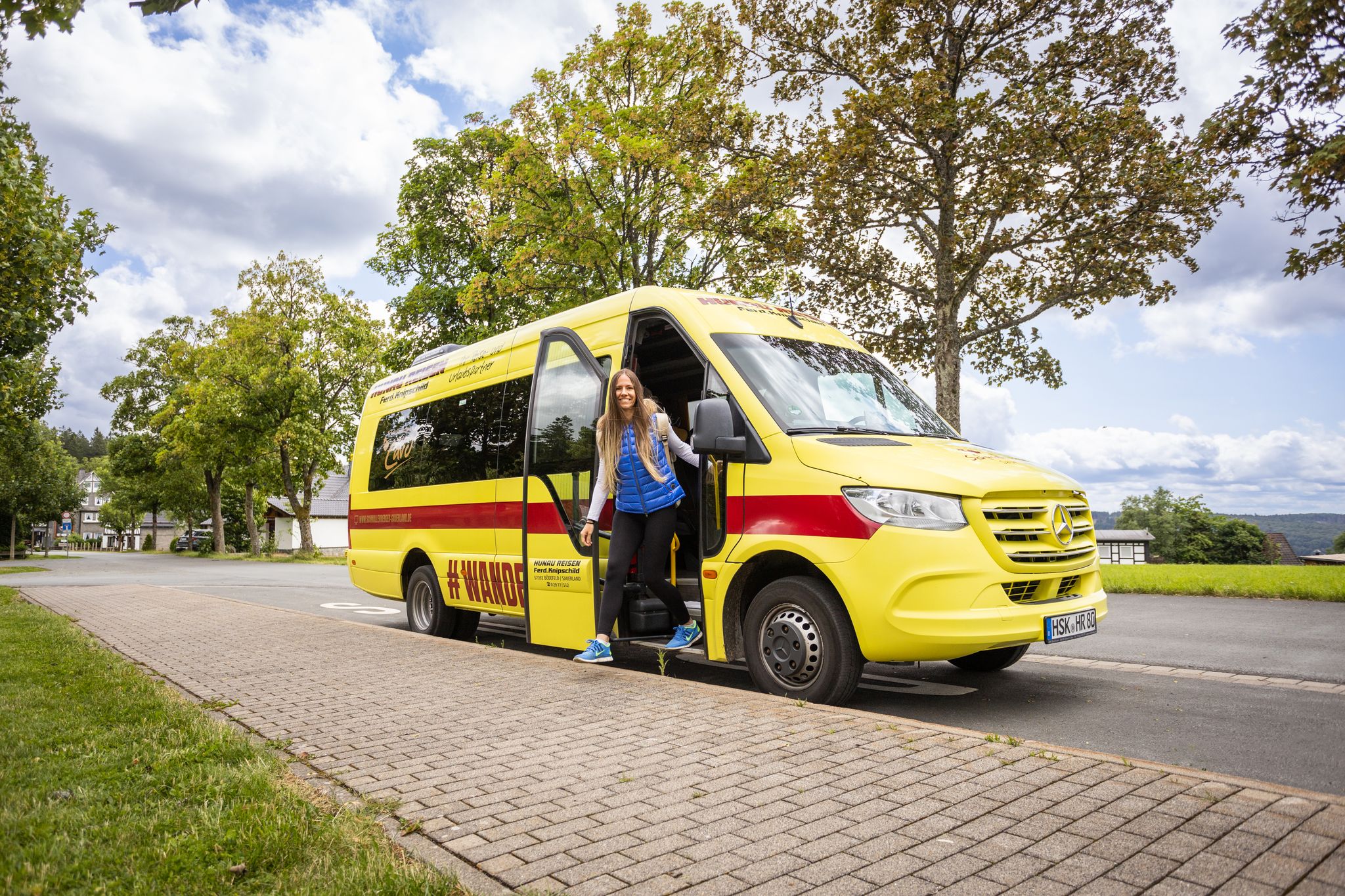
Sustainable hikes – accessible by public transport and hiking bus
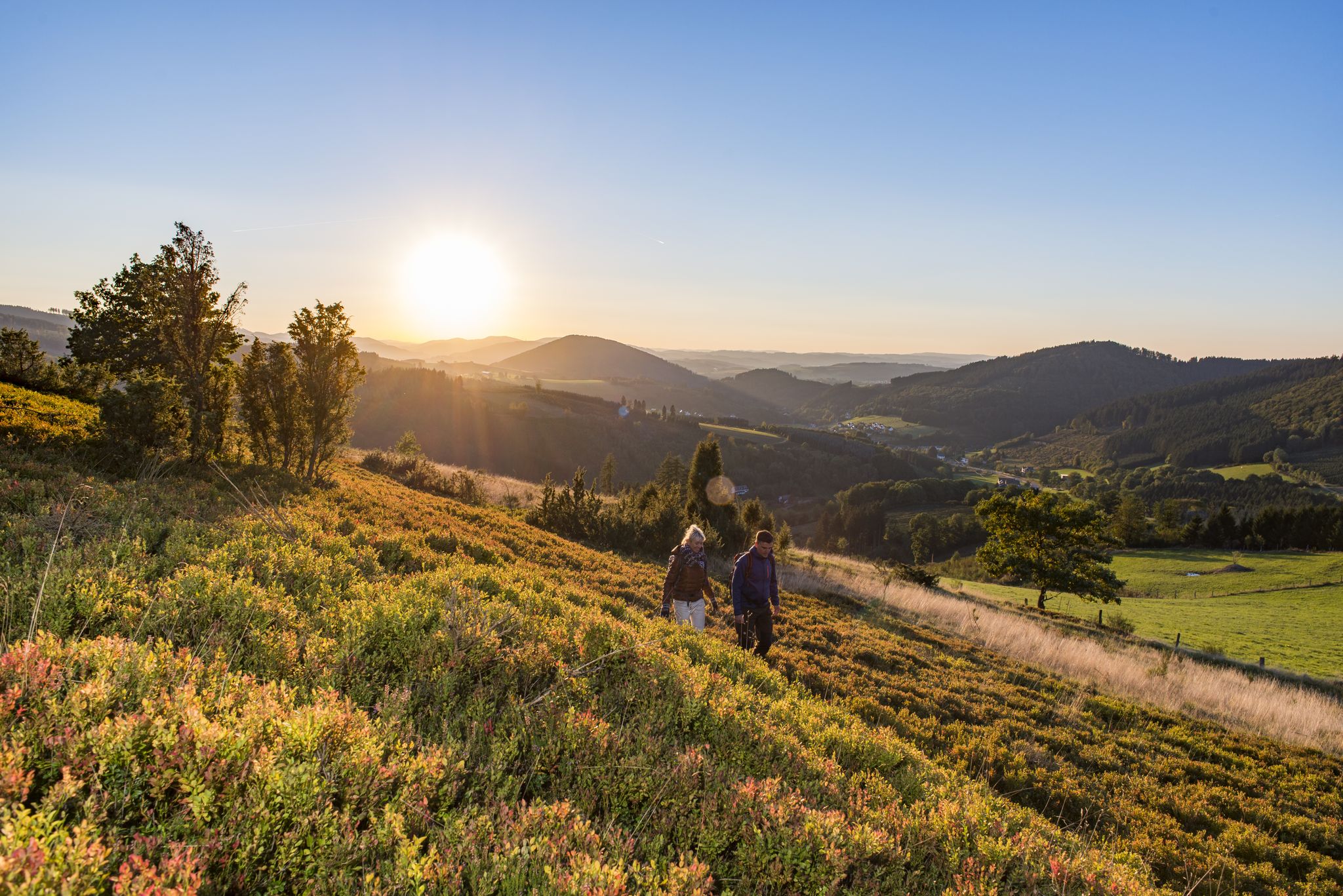
Dreamlike hiking in Germany – #EmbraceGermanNature
Exploring Schmallenberg Sauerland — stunning hikes in Germany
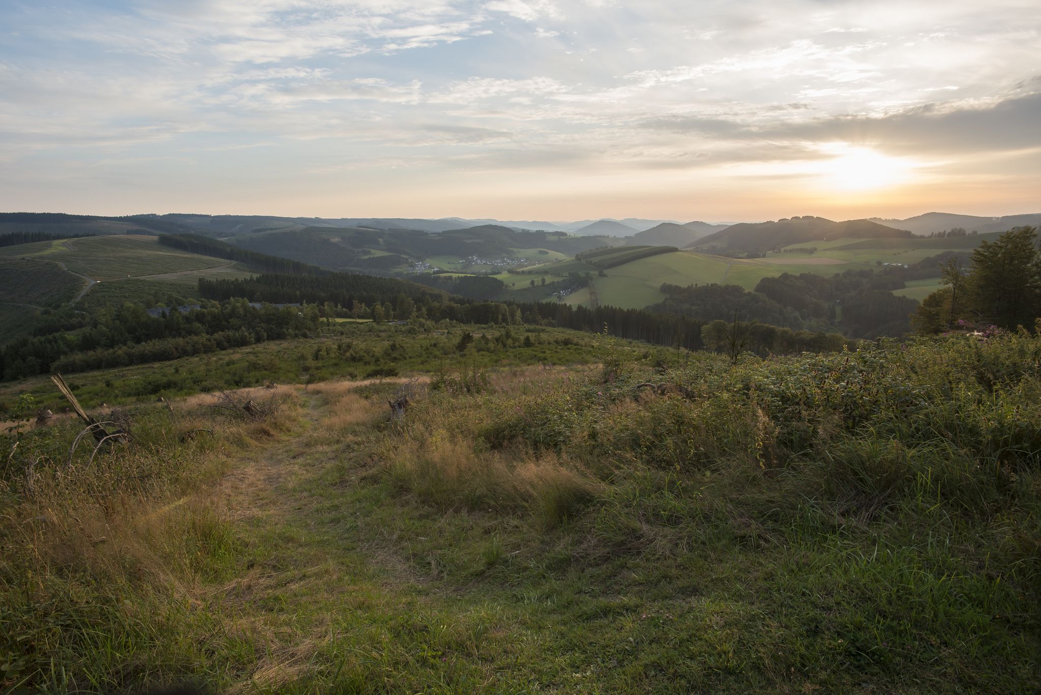
Forest, meadows, wonderland – hiking the Rothaarsteig Trails
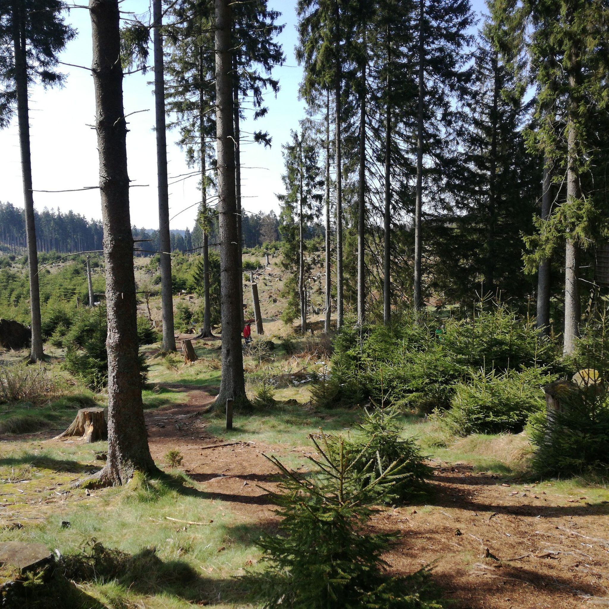
Hiking around Bad Berleburg
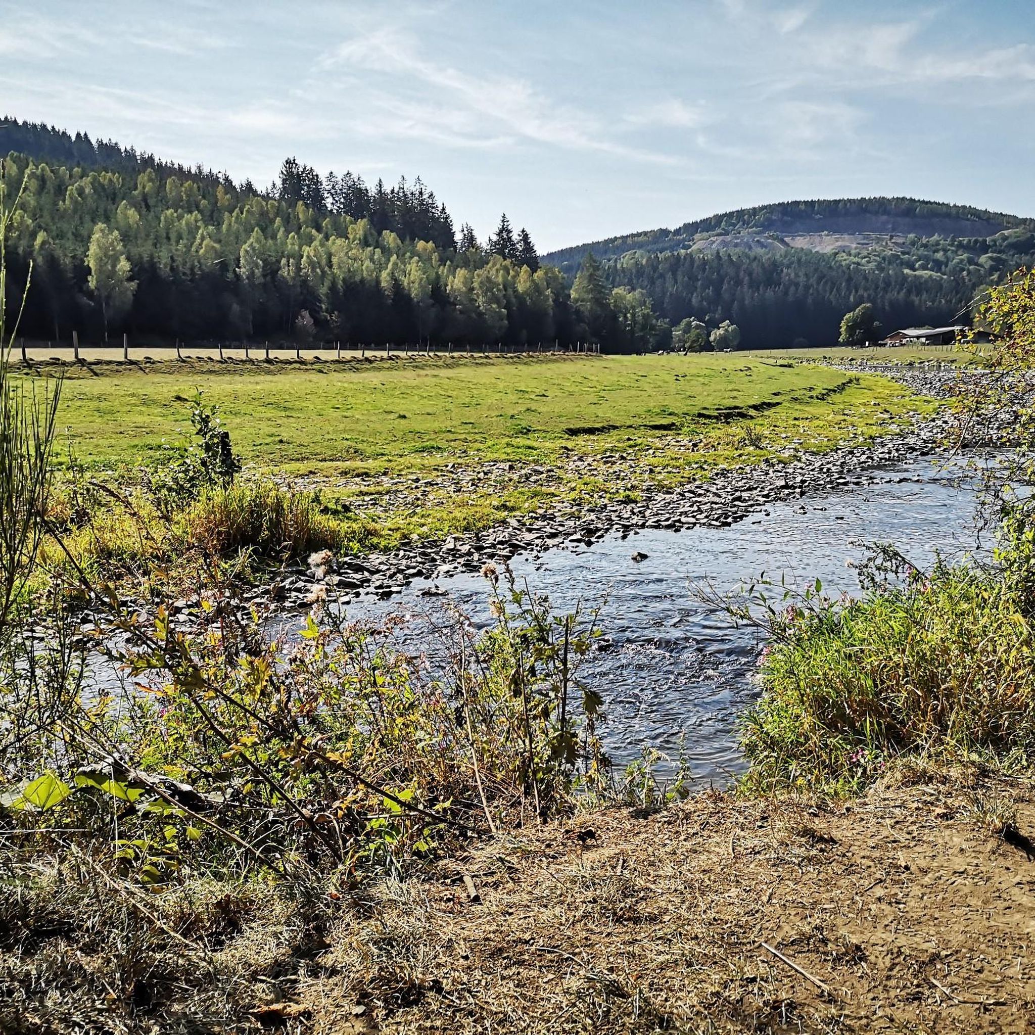
Cycling around Bad Berleburg
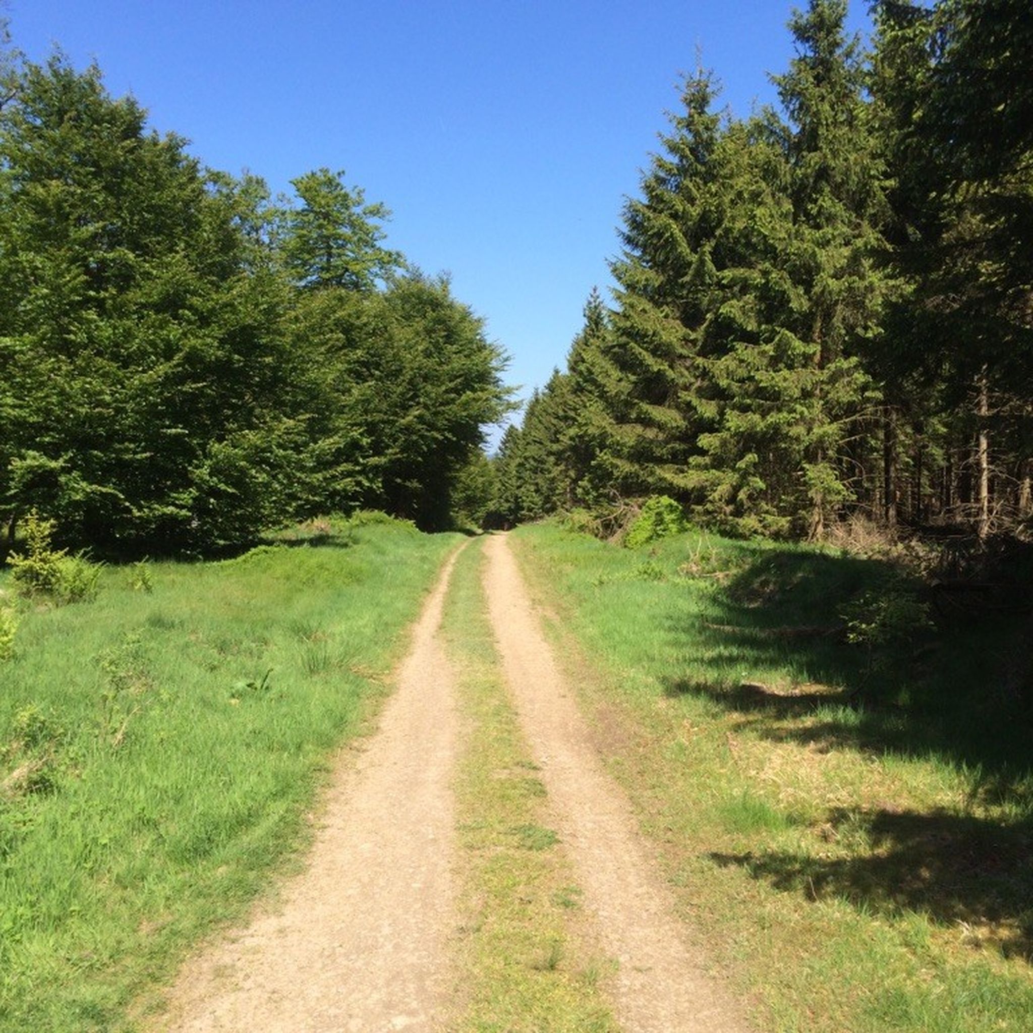
MTB Trails around Bad Berleburg
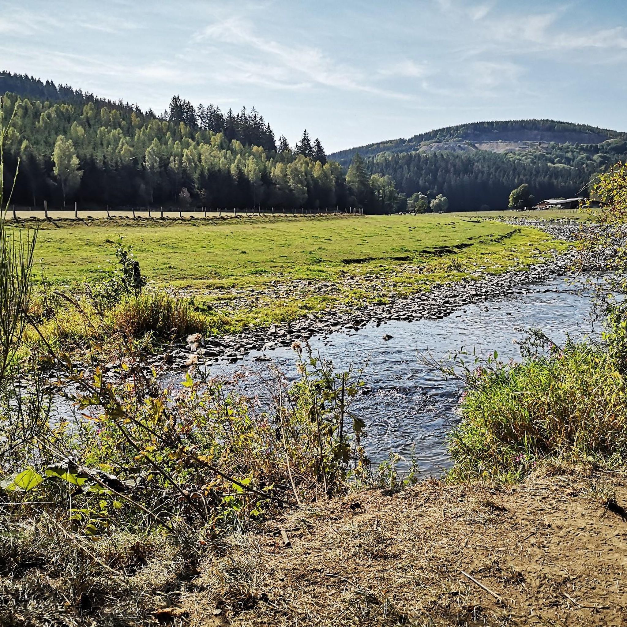
Road Cycling Routes around Bad Berleburg
Running Trails around Bad Berleburg
Gravel biking around Bad Berleburg
Other adventures around Bad Berleburg


Tips from the Community

On May 2nd, 2024, absolutely nothing happened at this place! Nevertheless, it is a beautiful hiking area towards the ascent to the Härdler.
0
0

The Lausfeld is a small clearing and at the same time the highest point on the road between the villages of Weifenbach and Lindenhof in the extreme west, or almost north-west, of Hesse. At the same time, the road connects the valleys of the Lahn and the Eder via an eastern foothills of the Rothaargebirge, which you may have already become acquainted with from other QD descriptions from around the corner - a real pass, and at the same time cultural and weather border, because it separates them mild Central Hesse, steeped in the southern way of life, from rugged, sleet-plagued North Hesse. Source: https://www.quaeldich.de/paesse/lausfeld/
4
0

The driveway from Hesselbach is just beautiful. Especially if you combine them with Boxbach. The ascent from Laasphe, on the other hand, is relatively steep.
4
0

Attention, do not confuse it with the hiking car park at Albrechtsplatz Bad Berleburg. Here is actually except for the (renewed) sign and an asphalt place: nothing :-D
1
0

A great pass between Stelborn and Milchenbach. Super steep, 8% and sometimes 15% incline. At Stelborn the ascent begins very idyllically, through the forest along the babbling brook. Then there is a steep section to the top with a bit of rumbling ground, so I recommend driving this pass in this direction. From the top towards Milchenbach, the asphalt is great for a descent. However, you should have good brakes on a -9% gradient.
2
0


An old wooden sign indicates this name. It is the highest pass in North Rhine-Westphalia (738m) ...
1
1

Frequently Asked Questions
What kind of views can I expect from the mountain passes around Bad Berleburg?
The region offers diverse and panoramic views. For instance, the View of the Sauerland Mountains provides a fantastic vista towards Langewiese. Further afield, the Astenturm at Kahler Asten offers superb all-round views over the Rothaargebirge and other parts of the Sauerland, potentially extending to the Brocken mountain on clear days.
Are there challenging climbs for cyclists or hikers?
Yes, the area is known for challenging climbs. The Armer Mann Pass features a 4 km long climb, with the ascent from Laasphe being particularly steep. Another challenging option is the Stelborn–Milchenbach Pass, which has sections with an 8% and even 15% incline.
What unique natural features can I discover near these mountain passes?
Beyond the passes themselves, the region boasts several unique natural features. Near the Kahler Asten, you can find remnants of a high heath landscape and the source of the Lenne River. The Wittgensteiner Slate Path, while not a pass, takes you past impressive rock landscapes, large slate heaps, quarries, and even a genuine bat cave.
Are there family-friendly options among the mountain passes or viewpoints?
Yes, the View of the Sauerland Mountains is categorized as family-friendly, offering a great road with asphalt and a beautiful view. While traditional passes can be challenging, many routes in the region offer varied terrain suitable for different activity levels.
What outdoor activities can I do near the mountain passes of Bad Berleburg?
The Bad Berleburg region is excellent for various outdoor activities. You can explore numerous hiking trails, including the challenging Via Adrina and the scenic Wittgensteiner Slate Path. For cyclists, there are many road cycling routes with rolling hills and dense forests, as well as demanding mountain bike trails. You can find more details on specific routes in the Hiking around Bad Berleburg and Road Cycling Routes around Bad Berleburg guides.
When is the best time to visit the mountain passes around Bad Berleburg?
The region is appealing year-round. Warmer months are ideal for hiking and cycling, offering lush landscapes and clear views. In winter, areas like the Kahler Asten become popular for winter sports, being part of the Skiliftkarussell Winterberg ski area. The best time depends on your preferred activities.
Is there a particularly high mountain pass or elevated point in the area?
The Albrechtsplatz is noted as the highest pass in North Rhine-Westphalia, reaching 738 meters. Additionally, the Kahler Asten, while not strictly a pass, is the second-highest mountain in North Rhine-Westphalia at 841.9 meters and offers a significant elevated experience.
Are there any historical or cultural points of interest associated with the mountain passes?
The Kahler Asten, a prominent elevated point, hosts a significant weather station frequently referenced in German weather reports. An exhibition at its summit provides insights into its nature reserve, the weather station, and the history of the Astenturm observation tower. The Wittgensteiner Slate Path also offers a glimpse into the region's industrial past with its slate quarries.
What makes the Lausfeld Pass unique?
The Lausfeld Pass is the highest point on the road between Weifenbach and Lindenhof. It's considered a true pass that connects the Lahn and Eder valleys via an eastern foothills of the Rothaargebirge, acting as both a cultural and weather border between Central Hesse and North Hesse.
What are some notable hiking trails that offer a 'pass-like' experience near Bad Berleburg?
While not always explicitly named 'passes,' trails like the Via Adrina and the Wittgensteiner Slate Path offer significant elevation changes and stunning vistas. The Via Adrina is a 20.8 km premium hiking trail with around 550 meters of ascent and descent, known for its 'wonderful views.' The Wittgensteiner Slate Path, 14.1 km long, takes you through 'fabulous forests' and past impressive rock landscapes.
Can I find information about the weather at higher elevations in the region?
Yes, the Kahler Asten is home to a significant weather station, which is frequently referenced in German weather reports. You can find more information about the Kahler Asten, including its weather station, on Wikipedia.
What do visitors particularly enjoy about the mountain passes and elevated points in this area?
Visitors frequently praise the extensive and fantastic views, especially from spots like the View of the Sauerland Mountains. The challenging climbs, such as those on the Armer Mann Pass, are also appreciated for their rewarding experiences. The diverse landscapes, from dense forests to unique high heath areas, also contribute to the overall appeal.
Most popular routes around Bad Berleburg
Most popular attractions around Bad Berleburg

Get inspired with the komoot mobile app


