Top 16 Mountain Passes in Regierungsbezirk Kassel
Best mountain passes in Regierungsbezirk Kassel are found within a landscape of rolling hills, dense forests, and basalt cones, primarily in the Habichtswald and Reinhardswald nature parks. These areas offer numerous mountain hiking opportunities with significant elevation gains. The region's geology, featuring basalt formations and ancient woodlands, contributes to a range of scenic trails. These routes provide panoramic views and diverse outdoor experiences.
Best mountain passes in Regierungsbezirk Kassel
- The most popular mountain passes is Dankeröder Höhe, a mountain_pass…
Last updated: July 6, 2026
Lausfeld Pass
Highlight • Mountain Pass
Translated by Google •
Tip by

Wurmberg Saddle
Highlight • Mountain Pass
Translated by Google •
Tip by

Sign up now to discover places like this
Get recommendations on the best single tracks, peaks, & plenty of other exciting outdoor places.
Sign up for free
Reinhards Schlagbaum Pass (503 m)
Highlight • Mountain Pass
Translated by Google •
Tip by

Schwedenschanze
Highlight • Parking
Translated by Google •
Tip by
Dankeröder Höhe
Highlight • Mountain Pass
The route from Gehau is also decent 😅
In the direction of Herlefeld you go …
Translated by Google •
Tip by

Danzwiesen Pass Summit
Highlight • Mountain Pass
Translated by Google •
Tip by

Schwedenschanze Pass (Hessian-Bavarian Border)
Highlight • Mountain Pass
Translated by Google •
Tip by

Bischofferode–Hetzerode mountain road in the Geo-Naturpark Frau-Holle-Land
Highlight (Segment) • Mountain Pass
Translated by Google •
Tip by
Mündershäuser Scharte
Highlight • Mountain Pass
Translated by Google •
Tip by

Adjutantenstraße Descent (District Road 50)
Highlight • Trail
Translated by Google •
Tip by

Sign up for free to discover even more mountain passes in Regierungsbezirk Kassel.
Sign up for free
Already have an account?
Start today with a free account
Your next adventure awaits.
Login or Signup
Popular around Regierungsbezirk Kassel
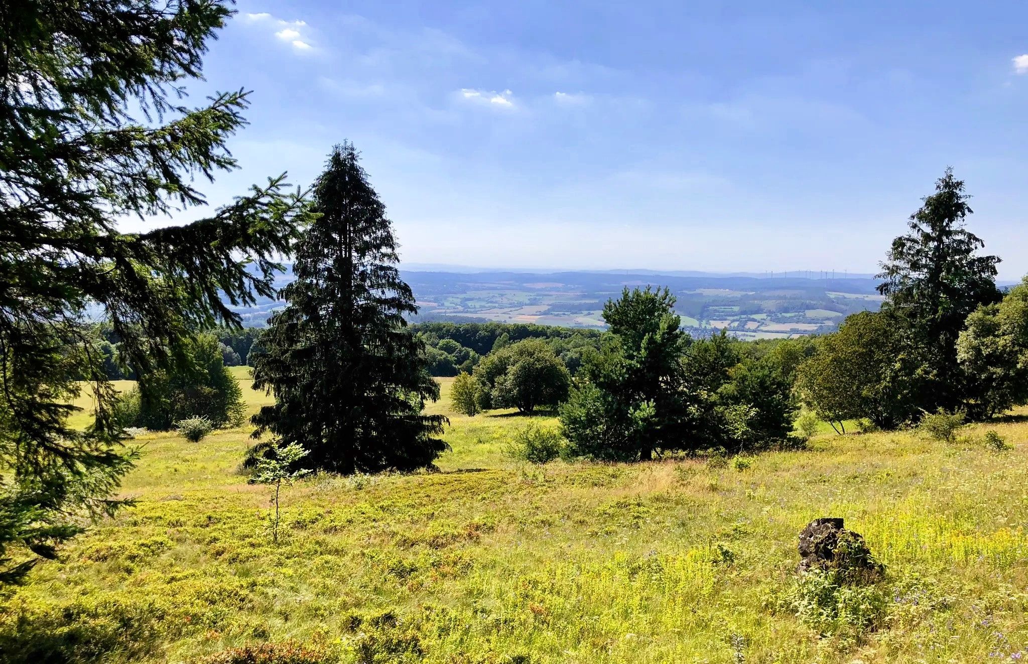
The fairytale GrimmSteig – Five-day hike in North Hesse

11 Hessen trails – criss-cross through the countryside
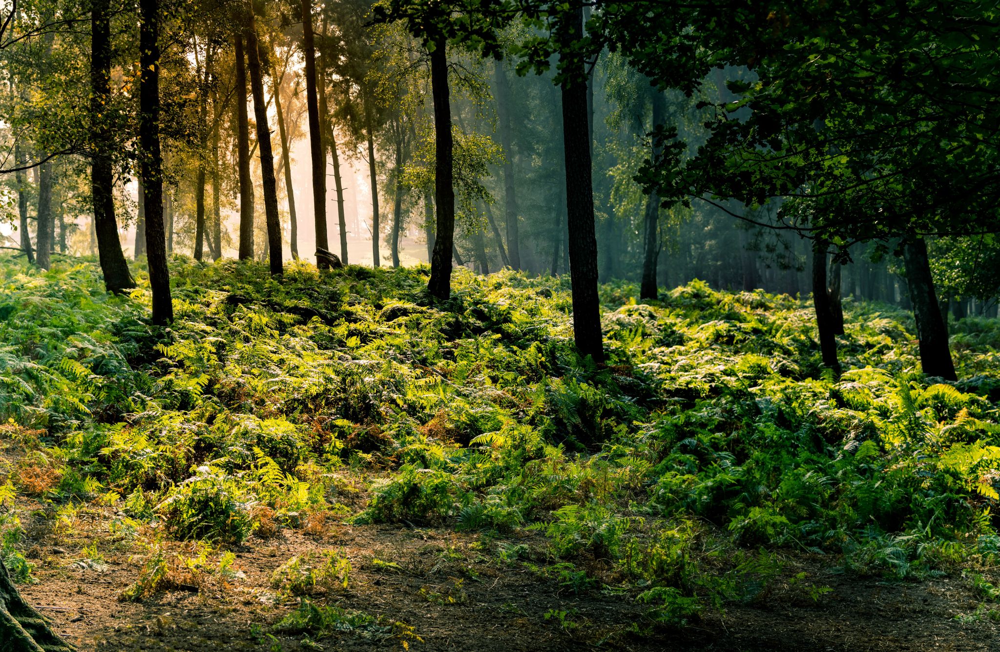
Frau Holle Trail – Nature and fairytales, eight stages
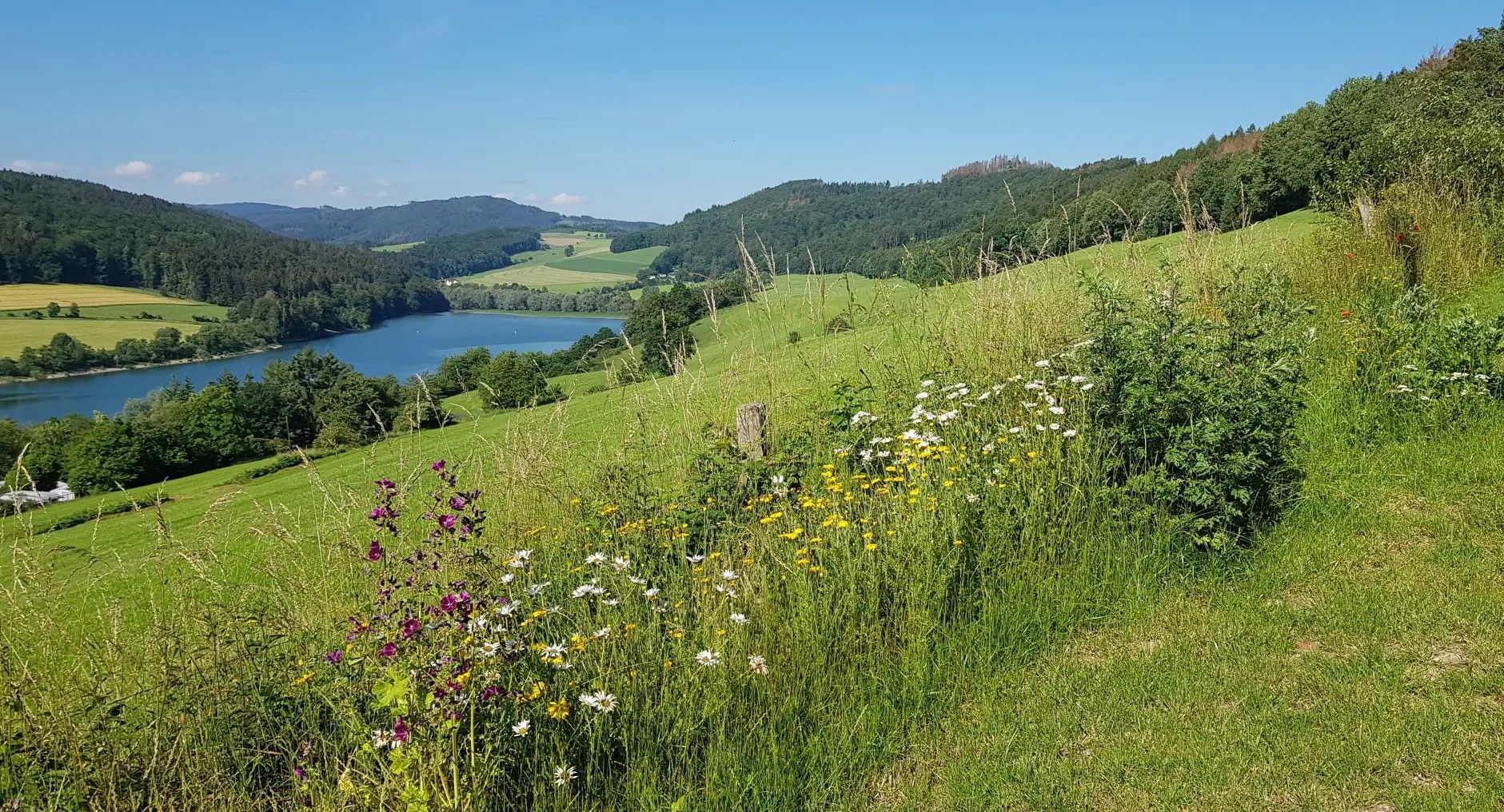
Germany's Sauerland Forest Route – Views and discoveries
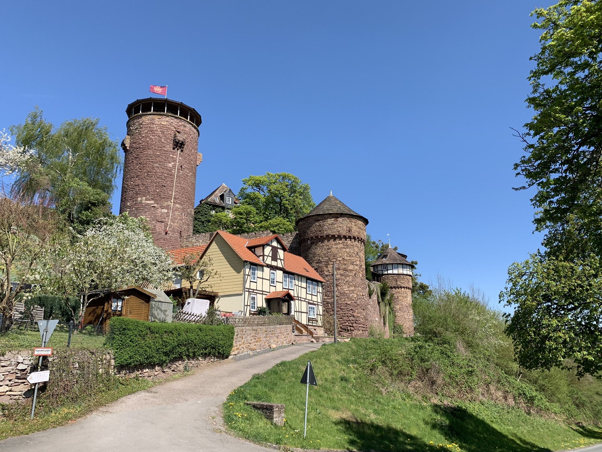
Hike the Fairy Tale Route – Enchanting days in Germany
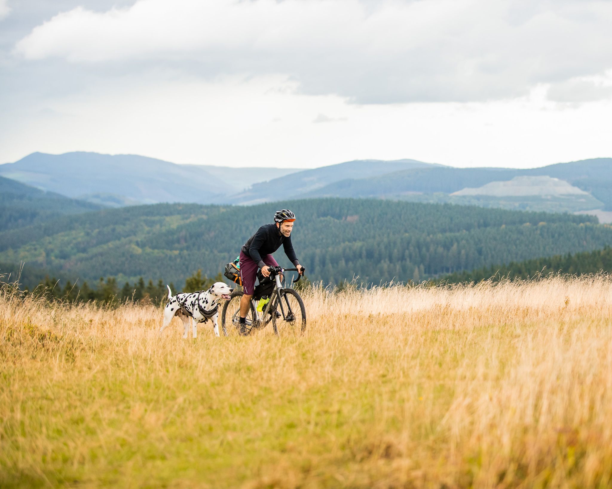
A fantastic adventure in Germany's Sauerland — bikepacking with a dog
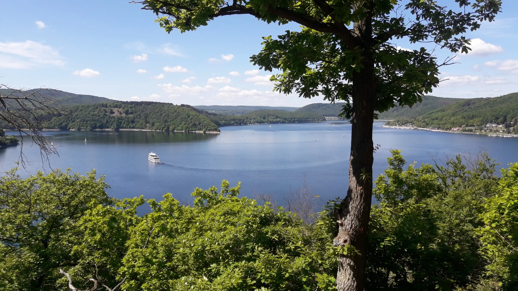
Ederseeweg trail — three stages from the city to the lake
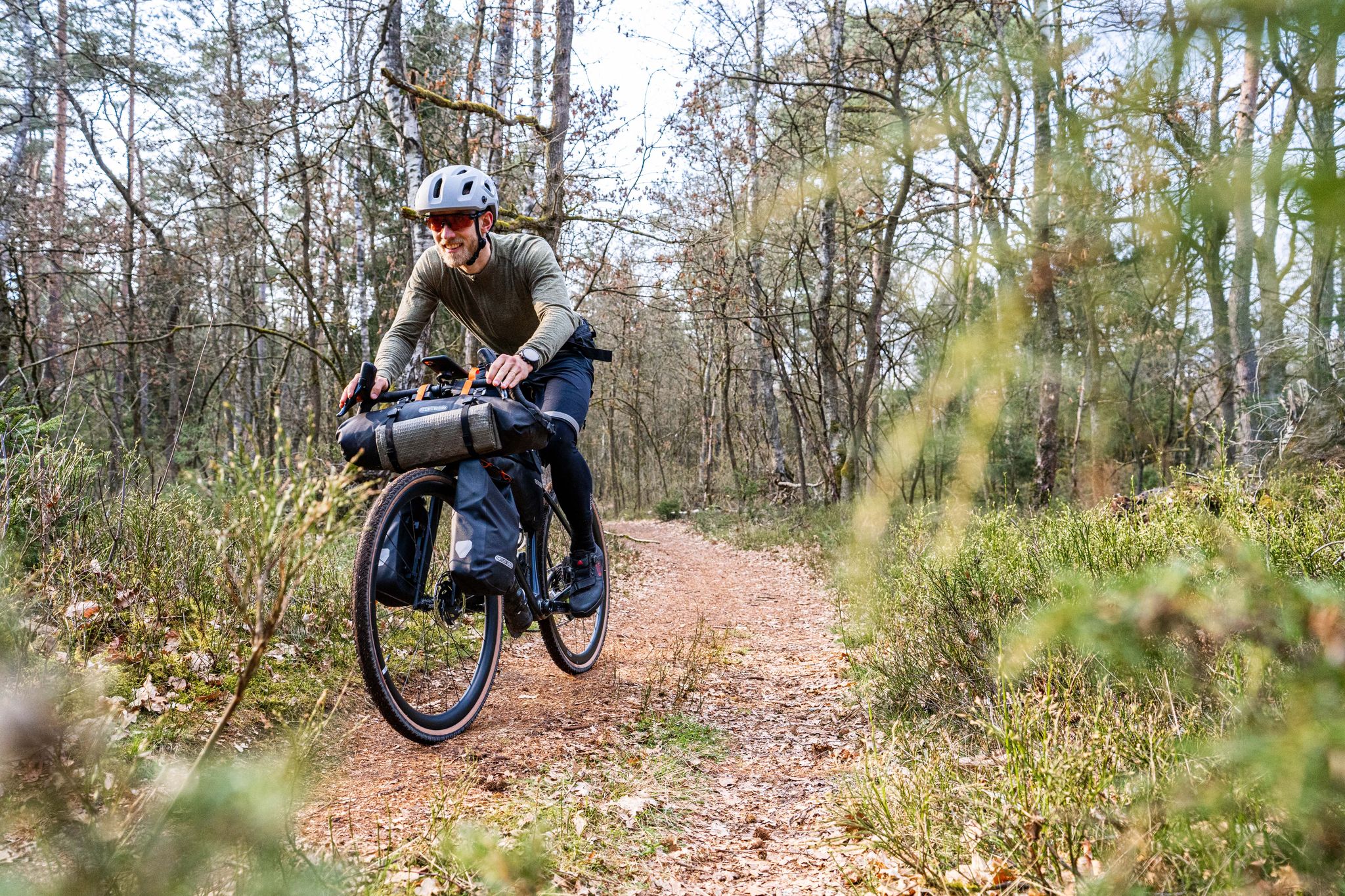
Gravel bikepacking from Hamburg to Munich
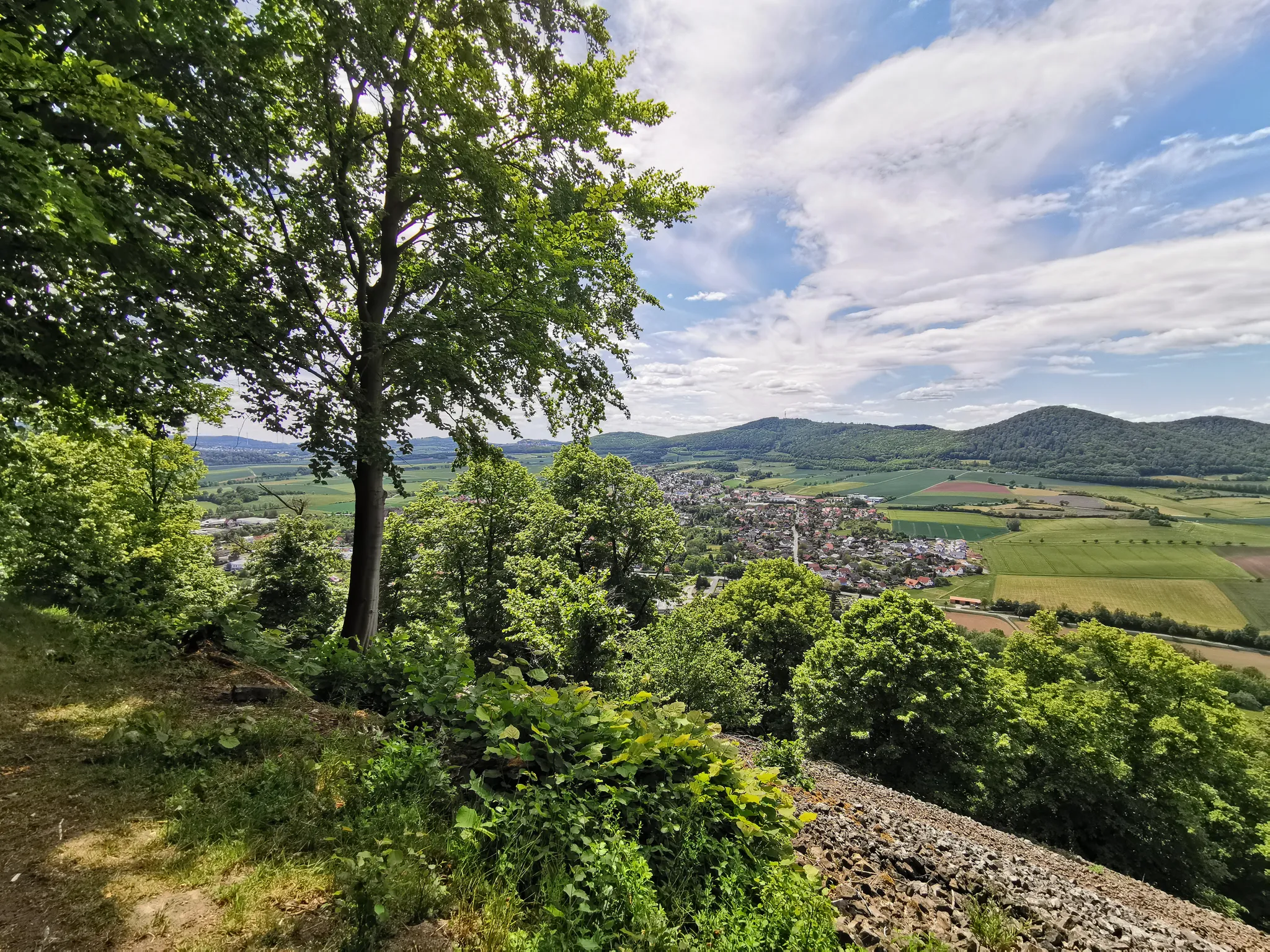
Habichtswaldsteig through Northern Hesse – Hiking where goshawks fly
Hiking the Uplandsteig in North Hesse – From lively to lonely
Other adventures in Regierungsbezirk Kassel


Tips from the Community

Unfortunately, the rest area here is not really usable, as it has seen better days - at least for now.
1
0

It's quite steep here, especially from the Fulda direction. Those who dare can also take the main road.
1
0

The asphalted descent, county road 50, leads from Erkshausen over a pass, southwest ascent, up to the Schwarzer Stock (409 m) and further towards Rittershain. The Hessian long-distance cycle route 5 leads from the opposite direction up to the Schwarzer Stock pass and then branches off into the forest (on very poor ground) and down into the Haseltal. However, it is recommended to use the less busy and better county road 50 for the ascent and descent!
0
0

Anyone who has hiked uphill to this point can take a breather and reorient themselves. We recommend the path towards Silbersee or further uphill to the Elfbuchen...
0
0

Here it is a short and sweet climb up to the Schwedenschanze on the Hessian-Bavarian border.
1
0


Unfortunately it's a bit old and you can't sit comfortably here anymore.
2
0

The small pass represents the transition over the ridge between the Nüsttal near Gotthards and the valley of the Siebertsgraben near Reinhards. The turnpike alludes to the border situation that has existed here since 1815. After the end of the Napoleonic era, the Congress of Vienna reorganized numerous territories. The former Bishopric of Fulda and its short-lived successor states were divided between the neighbors. The former Fulda office of Geisa with Reinhard fell to the Grand Duchy of Saxony-Weimar-Eisenach. The former Fulda office of Bieberstein became part of the (titular) Electorate of Hesse-Kassel, which was annexed by Prussia almost 50 years later. Even today, the federal state border between Thuringia and Hesse runs here.
1
0
Frequently Asked Questions
What are some challenging mountain passes for experienced hikers in Regierungsbezirk Kassel?
For experienced hikers seeking a challenge, the Alheimer Pass Road offers sections with 10-15% grades, and even a short part with almost 20% incline when ascending from Seifertshausen. Another demanding option is the Dankeröder Höhe, particularly the ascent from Dankerode which features a 12% incline, providing an exhausting but beautiful experience.
Which mountain passes offer the best panoramic views in Regierungsbezirk Kassel?
Several mountain passes and elevated areas in Regierungsbezirk Kassel provide stunning panoramic views. The Danzwiesen Pass Summit reaches 645 meters above sea level and offers great vistas. The Wurmberg Saddle is another high point with expansive views. Additionally, the Bilsteinturm on Bilstein mountain provides excellent views over the surrounding Kaufungen forest, and Hohes Gras is known for its significant elevation and panoramic outlooks.
Are there any mountain passes with historical significance in Regierungsbezirk Kassel?
Yes, the region features several historically interesting spots. The Reinhards Schlagbaum Pass is noted as a historical site. The Schwedenschanze is another historical site, and the Adjutantenstraße Descent is named after Hermann Freiherr von Biedenfeld, who was a wing adjutant, and was built in 1845.
What unique natural features or geology can I expect to see around the mountain passes?
Regierungsbezirk Kassel is characterized by diverse geology, including impressive basalt formations and ancient woodlands. The Hoher Dörnberg, for example, is known for its striking shape, unique flora and fauna, and species-rich juniper heaths, along with the impressive Helfensteine rocks. The Bilstein mountain originated from volcanic activity and features a basaltic summit. These areas offer a range of scenic trails through varied terrain.
Are there family-friendly mountain passes or areas suitable for families in Regierungsbezirk Kassel?
While not all mountain passes are explicitly labeled family-friendly, areas like the Schwedenschanze are noted as such. The path to Himmeldunkberg is generally not overly demanding and can be suitable for older children, especially when combined with a detour to the Basaltsee or a tour through the Rote Moor. The Hoher Dörnberg also offers diverse hiking opportunities that can be adapted for families.
What kind of hiking trails can I find near the mountain passes in Regierungsbezirk Kassel?
The region offers a variety of hiking trails, from moderate to difficult. For example, near the mountain passes, you can find routes like the 'View from Hoher Dörnberg – Hohlestein Basalt Crag loop from Habichtswald,' which is a moderate 9.47 km trail. The 'Reichenbach ruins – Eisberg Summit loop' is another popular mountaineering route, approximately 12.7 km long. You can explore more options for mountain hikes in the region by visiting the Mountain Hikes in Regierungsbezirk Kassel guide.
What outdoor activities, besides hiking, can I do near these mountain passes?
Beyond hiking, the Regierungsbezirk Kassel area offers diverse outdoor activities. You can find numerous road cycling routes, such as the 'Covered Bridge Over the Fulda – Fulda Cycle Route (R1) loop from Kassel-Wilhelmshöhe,' a moderate 43.97 km ride. Mountain biking is also popular, especially in areas like Himmeldunkberg. For more cycling options, check out the Road Cycling Routes in Regierungsbezirk Kassel guide.
When is the best time of year to visit the mountain passes in Regierungsbezirk Kassel?
The best time to visit the mountain passes in Regierungsbezirk Kassel largely depends on your preferred activity. Spring and autumn offer pleasant temperatures and vibrant scenery for hiking and cycling. Summer is also suitable, though some trails might be busier. While winter hiking is possible, conditions can vary, and some paths might be challenging due to snow or ice, especially at higher elevations.
Are there any less crowded mountain passes or alternatives for a quieter experience?
For a quieter experience, consider exploring areas like the Himmeldunkberg. This relatively unfrequented summit offers benches for rest and a peaceful atmosphere, making it a popular spot for nature lovers seeking solitude away from more crowded trails. Its path is generally not overly demanding, apart from a steep section known as the 'Hohe Hölle'.
What amenities, like cafes or places to rest, are available near the mountain passes?
Some mountain passes and nearby areas offer amenities for visitors. For instance, the Alheimer Hütte near Alheimer Pass Road is open on weekends and provides a place for a short break. On Burghasunger Berg, you can find places to rest and enjoy the views. It's always a good idea to check local information for specific opening hours of huts or cafes before your visit.
What do visitors enjoy most about the mountain passes in Regierungsbezirk Kassel?
Visitors particularly appreciate the diverse outdoor experiences, scenic viewpoints, and challenging routes. Many enjoy the rewarding descents after strenuous ascents, as noted for the Alheimer Pass Road. The expansive views from high points like the Danzwiesen Pass Summit are also highly valued, making a short stop mandatory for many. The natural beauty and varied terrain for hiking and cycling are consistently highlighted.
Are there mountain passes accessible by public transport or with nearby parking?
While specific public transport routes to every pass can vary, many trailheads and natural parks in Regierungsbezirk Kassel are accessible. For example, the Schwedenschanze is listed as having parking facilities. For areas like Hoher Dörnberg, public transport might get you to nearby towns, from where you can start your hike. It's advisable to check local transport schedules and parking availability for your specific destination.
Most popular routes in Regierungsbezirk Kassel
Most popular attractions in Regierungsbezirk Kassel

Get inspired with the komoot mobile app


