Top 6 Natural Monuments in Nsg Hülser Bruch
Best natural monuments in Nsg Hülser Bruch include Krefeld's largest nature reserve, spanning 430 hectares. This area is characterized by its unique geological history, featuring the Hülser Berg as a geomorphological remnant from the Saale Ice Age. It encompasses diverse ecosystems, including woodlands, meadows, and varied habitats that support a rich array of flora and fauna. The Nsg Hülser Bruch provides opportunities for outdoor recreation and observing natural wildlife.
Best natural monuments in Nsg Hülser Bruch
- The most popular natural…
Last updated: July 5, 2026
Johannesturm Observation Tower
Highlight • Viewpoint
Translated by Google •
Tip by

Eremitenquelle
Highlight • Natural Monument
The Hueler Berg owes its formation to the Ice Age and …
Translated by Google •
Tip by

Sign up now to discover places like this
Get recommendations on the best single tracks, peaks, & plenty of other exciting outdoor places.
Sign up for free
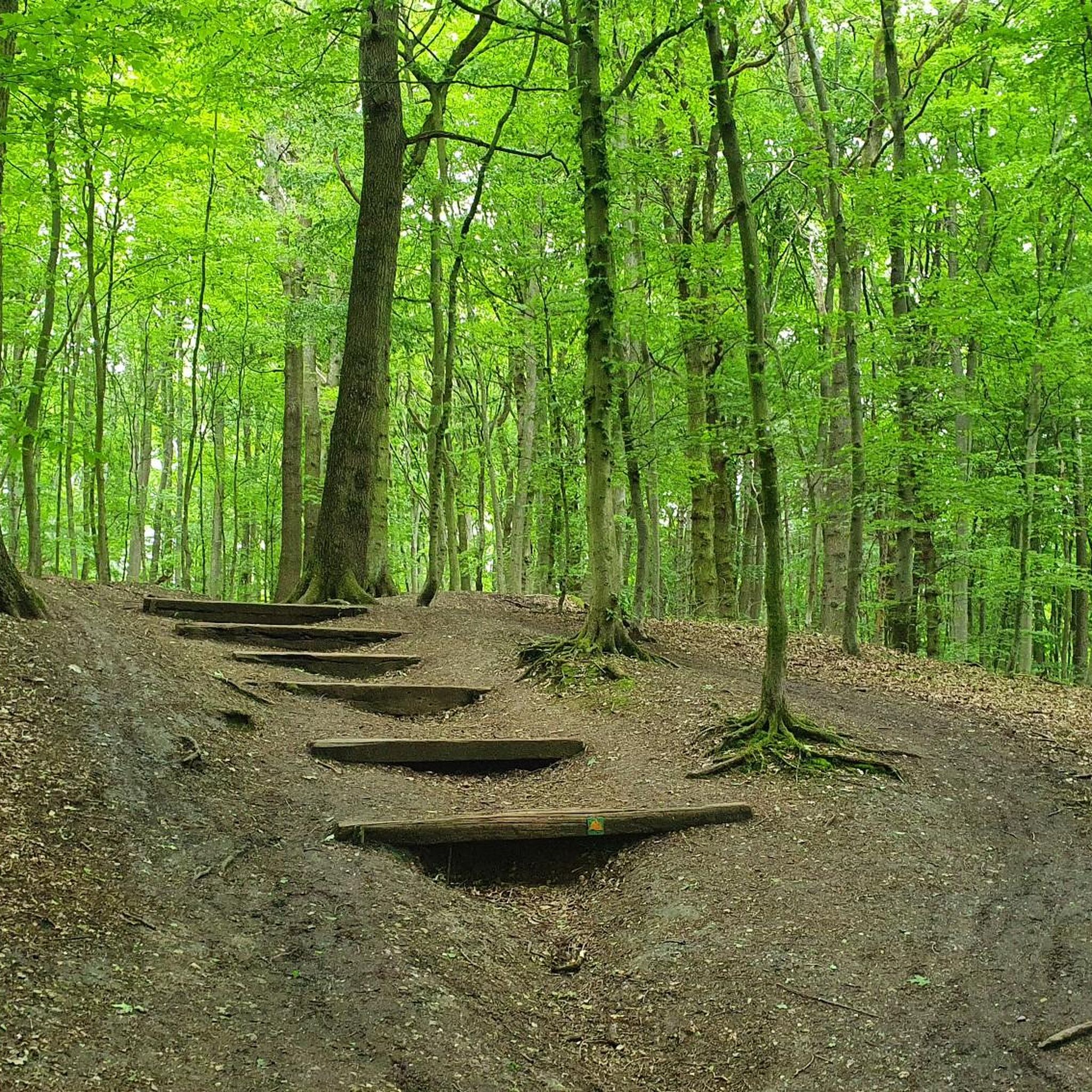
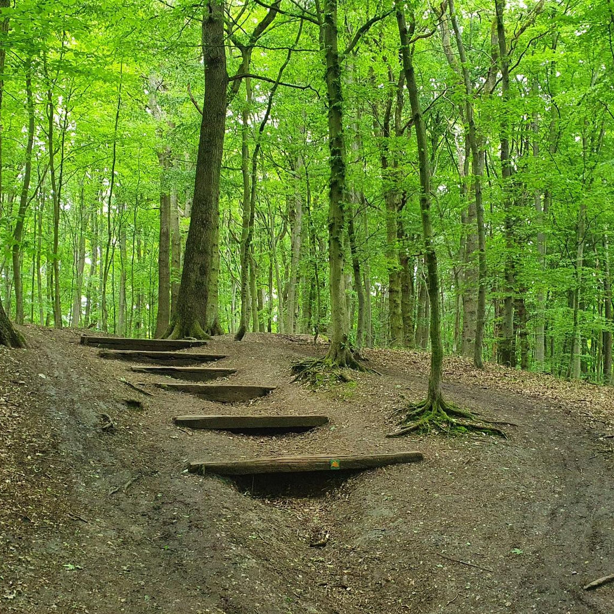
Tree Root Drop in Hülser Bruch Nature Reserve
Highlight • Climb
Translated by Google •
Tip by

Eremiten Spring (Geo Trail Hülser Berg)
Highlight • Natural Monument
krefeld.de/de/content/neuer-geopfad-im-huelser-bruch-mit-radroute-und-wanderweg-eroeffnet
geopark.ruhr/standorte/geopfade/geopfad-huelser-berg
Translated by Google •
Tip by
Iron Age hillfort on Hülser Berg
Highlight • Historical Site
Translated by Google •
Tip by

Start today with a free account
Your next adventure awaits.
Login or Signup

Tips from the Community

The ramparts and ditches of an Iron Age refuge are clearly visible in the area. The excellent information board provides detailed information. This is where the inhabitants of the Hülsen area at the time sought protection from people from the surrounding area. If you walk along the hiking trail as if you were walking through the former gate of the complex, you can see that any war today could be as senseless as the one between Krefeld and Hülsen.
0
0

Eremitenquelle and Geopark information board
0
0

The GeoPfad is a joint project of the GeoParks Ruhrgebiet e.V. and the city of Krefeld supported by the Hüls local history association. It was supported with funds from the Rhineland Regional Association (LVR). https://www.krefeld.de/de/content/neuer-geopfad-im-huelser-bruch-mit-radroute-und-wanderweg-eroeffnet/ https://www.geopark.ruhr/standorte/geopfade/geopfad-huelser-berg/
5
0
A well-known spring rises on the eastern slope of the Hülser Berg, which is called "Eremitenquelle", "Einsiedlerborn" or "Jungfernpöttchen". The Hueler Berg owes its formation to the Ice Age and represents what is left of an upsetting end moraine. Since the indented clays were not stored together when the Huelzer Berg was formed and are therefore not continuously distributed, they did not represent a continuous hydraulic barrier layer. An indented clay flake acts as a water-damping horizon and feeds a local groundwater storey with the precipitation water, which forms the Eremitenquelle when it emerges. Since its water catchment area is very limited, the spring dries up in dry years. Their bulk is also comparatively low. The exact water catchment area has not yet been determined. The first evidence and the oldest known cartographic representation come from a guide through Hüls and its surroundings with the attached map from the year 1898. The Hermitenquelle traces its name back to a hermit who has been proven to have lived before 1805 on the Huelser Berg. According to legend, he was held in high esteem by the local community as a healer, especially in cases of fever. After his death, he was buried under an oak tree and the spring was named after him. (...) The hermit spring was bordered in 1904. Since then, its water has flowed out of a stone with a channel. (...) The spring can remain dry even in periods of heavy precipitation, while sometimes even in the warm summer time a more or less strong spring discharge can be observed. Various inspections in all seasons in the years 2010 to 2014 brought the conclusion that no more water flows from the spring; only a few wet areas in the outflow valley can be identified as weak seepage sources. (...) Reference and link to full article: Copyright notice The content presented here is licensed under the free CC BY 4.0 license (attribution). Stefan Kronsbein (2015): "Eremitenquelle am Hülser Berg near Krefeld". In: KuLaDig, Culture.Landscape.Digital. URL: https://www.kuladig.de/Object View/O-115816-20150227-4 (Retrieved: July 31, 2023)
7
0

Very nice area. Come back no question.👌
1
0

The first evidence and the oldest known cartographic representation come from a guide through Hüls and its surroundings with the attached map from the year 1898. The Hermitenquelle traces its name back to a hermit who has been proven to have lived before 1805 on the Huelser Berg. According to legend, he was held in high esteem by the local community as a healer, especially in cases of fever. After his death, he was buried under an oak tree and the spring was named after him.
4
0

Eremitenquelle Historical sights on the Hülser Berg
3
0

Pure relaxation
1
0
Frequently Asked Questions
What are the main natural features of Nsg Hülser Bruch?
The Nsg Hülser Bruch is characterized by its unique geological history and diverse ecosystems. Key features include the Hülser Berg Forest, which is Krefeld's highest natural elevation at 63 meters and a remnant of the Saale Ice Age. The area also boasts a mosaic of woodlands, including beech forests, oak, ash, and alder stands, as well as meadows and hedgerows. It's a valuable habitat for a rich variety of flora and fauna.
Are there any historical or geological points of interest in Nsg Hülser Bruch?
Yes, the region is rich in history and geology. The Hülser Berg Forest itself is a significant geological formation from the Saale Ice Age. Visitors can also find the Eremitenquelle, a historic spring named after a hermit, with a fascinating local legend. Archaeological findings, including Mesolithic sites and remnants of a Celtic camp, have also been discovered on Hülser Berg, indicating long-term human presence.
What kind of viewpoints can I find in Nsg Hülser Bruch?
For panoramic views, you can climb the Johannesturm Observation Tower on Hülser Berg. From the top, you can enjoy extensive vistas of the surrounding area, potentially even reaching the Ruhrgebiet on clear days. The tower is a popular spot for visitors seeking scenic overlooks.
Are there family-friendly activities or trails in Nsg Hülser Bruch?
Absolutely. The Nsg Hülser Bruch is very family-friendly. Many areas, including the Hülser Berg Forest and the broader Nature in Hülser Bruch Nature Reserve, are suitable for families. The Geo Trail Hülser Berg offers both a five-kilometer circular hiking trail and a 19 km cycling route with information panels, making it an engaging option for all ages. You can also observe red deer, fallow deer, and wild boar in enclosures on Hülser Berg.
What outdoor activities can I do near these natural monuments?
The Nsg Hülser Bruch is a popular destination for various outdoor activities. You can enjoy hiking, running, and mountain biking on its scenic trails. For specific running routes, explore the Running Trails in Nsg Hülser Bruch guide. If you're into mountain biking, check out the MTB Trails in Nsg Hülser Bruch. Gravel biking enthusiasts can find routes in the Gravel biking in Nsg Hülser Bruch guide.
Are there hiking trails near the natural monuments, and what are their difficulty levels?
Yes, there are numerous hiking trails. The Geo Trail Hülser Berg offers a five-kilometer circular hiking trail over the mountain. For running, you can find trails ranging from easy to difficult, such as the 'Johannesturm on Hülser Hill' loop (easy) or the 'View from the Inrather Berg' loop (difficult). You can find more details in the Running Trails in Nsg Hülser Bruch guide.
What is the best time to visit Nsg Hülser Bruch?
The Nsg Hülser Bruch offers beauty throughout the year. Spring and autumn are particularly pleasant for hiking and cycling, with vibrant foliage or blooming nature. The diverse landscape and ecosystems, including various bird species, make it a valuable birdwatching location, especially during migration seasons. Even in summer, the woodlands provide shade, and on certain holidays, the historical 'Schluff' steam train offers a unique experience.
What kind of flora and fauna can I expect to see?
The Nsg Hülser Bruch is home to a rich variety of flora and fauna due to its diverse habitats. You can find closed beech forests, oak, ash, and alder stands, as well as meadows and hedgerows. The area supports many wild animal species, amphibians, and various birds like the golden oriole, black woodpecker, little owl, and hobby falcon. Grey herons, great egrets, and even white storks can also be observed, making it a great spot for nature enthusiasts.
Is Nsg Hülser Bruch accessible by public transport?
While specific public transport details are best checked locally, the Nsg Hülser Bruch is located approximately four kilometers north of Krefeld city center. The historical 'Schluff' steam train also runs on certain holidays and summer days between St. Tönis and Hülser Berg, offering a unique way to reach the area.
What do visitors enjoy the most about Nsg Hülser Bruch?
Visitors highly appreciate the tranquility and the opportunity to observe natural wildlife. The beautiful hiking trails through extensive forests, the panoramic views from the Johannesturm Observation Tower, and the historical and geological significance of sites like Hülser Berg Forest are frequently mentioned. The family-friendly nature and the well-maintained paths also contribute to a positive experience.
Are dogs allowed on the trails in Nsg Hülser Bruch?
The Nsg Hülser Bruch is a popular area for outdoor recreation, and generally, dogs are welcome on trails. However, it's always recommended to keep dogs on a leash, especially given the presence of wildlife enclosures and to respect other visitors and the protected natural environment.
Are there any circular routes available for hiking or cycling?
Yes, the Geo Trail Hülser Berg offers a five-kilometer-long circular hiking trail over Hülser Berg. Additionally, a 19 km long circular cycling path connects further stations within the idyllic Hülser Bruch and the historic town center of Hüls, providing excellent options for both hikers and cyclists.
Most popular routes in Nsg Hülser Bruch
Most popular attractions in Nsg Hülser Bruch

Get inspired with the komoot mobile app


