Gipskarstlandschaft Bad Sachsa Und Walkenried
Gipskarstlandschaft Bad Sachsa Und Walkenried
Top 18 Natural Monuments in Gipskarstlandschaft Bad Sachsa Und Walkenried
Best natural monuments in Gipskarstlandschaft Bad Sachsa Und Walkenried showcase a landscape shaped by the dissolution of gypsum rock, featuring dramatic formations, sinkholes, and caves. This region in Germany's southern Harz is characterized by its unique geological structures and diverse ecosystems. Visitors can explore a variety of karst features, including exposed gypsum cliffs and ancient ponds. The area offers opportunities to observe ongoing geological processes and a wide array of plant and animal species.
Best natural monuments in Gipskarstlandschaft Bad Sachsa Und Walkenried
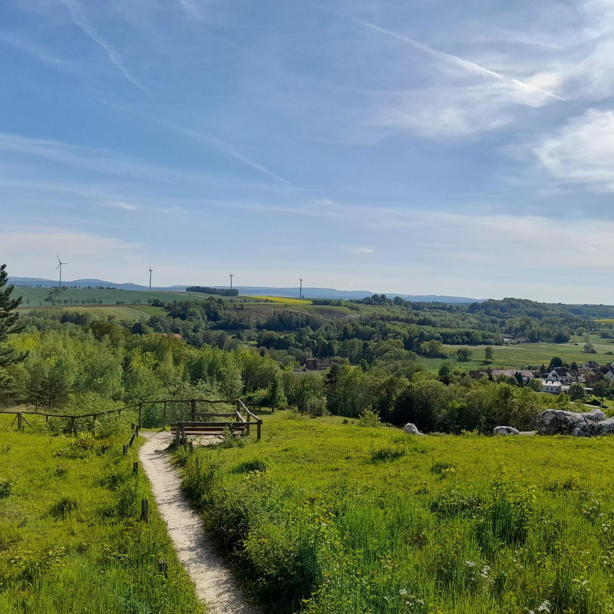
- The most popular natural monuments is Sachsensteinhütte (HWN 166) – View of Neuhof and the Harz Foreland, a hut that offers views of the surrounding landscape. It serves as a stamping point for the Harzer Grenzweg long-distance hiking trail.
- Another must-see spot is Sachsenstein Rock Formation, a natural monument. This prominent gypsum cliff provides a scenic hiking experience with views of the valley.
- Visitors also love Lower Crane Pond Bad Sachsa, an idyllic lake. These ponds, originally established by Cistercian monks, are now part of a nature reserve and offer a tranquil natural setting.
- Gipskarstlandschaft Bad Sachsa Und Walkenried is known for its gypsum cliffs, sinkholes, and historical ponds. The region offers a variety of natural monuments to see and explore, from geological formations to water bodies.
- The natural monuments in Gipskarstlandschaft Bad Sachsa Und Walkenried are appreciated by the komoot community, with more than 1500 upvotes and over 1200 photos shared across 19 highlights.
Last updated: July 5, 2026
Sachsensteinhütte (HWN 166) – View of Neuhof and the Harz Foreland
Highlight • Mountain Hut
Translated by Google •
Tip by

Sachsenstein Rock Formation
Highlight • Natural Monument
Translated by Google •
Tip by

Sign up now to discover places like this
Get recommendations on the best single tracks, peaks, & plenty of other exciting outdoor places.
Sign up for free
Lower Crane Pond Bad Sachsa
Highlight • Lake
Translated by Google •
Tip by
Sachsenstein Cliffs
Highlight (Segment) • Natural Monument
Translated by Google •
Tip by

Itelteich West Shore
Highlight • Lake
Translated by Google •
Tip by

Sign up for free to discover even more natural monuments in Gipskarstlandschaft Bad Sachsa Und Walkenried.
Sign up for free
Already have an account?
Start today with a free account
Your next adventure awaits.
Login or Signup
Popular around Gipskarstlandschaft Bad Sachsa Und Walkenried
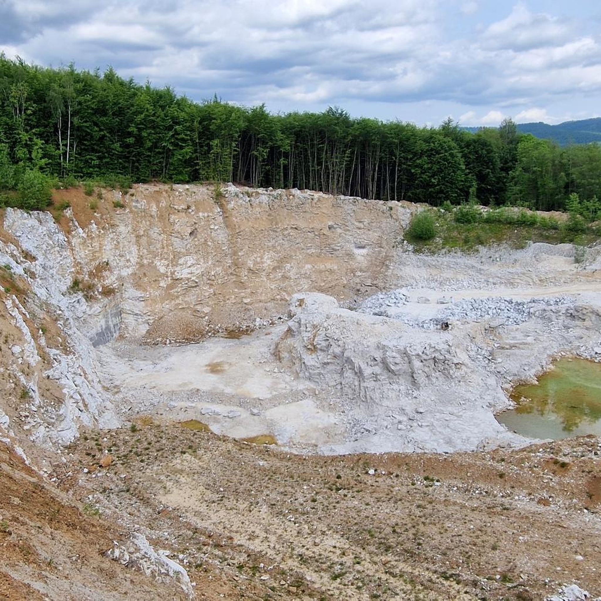
Hiking in Gipskarstlandschaft Bad Sachsa Und Walkenried
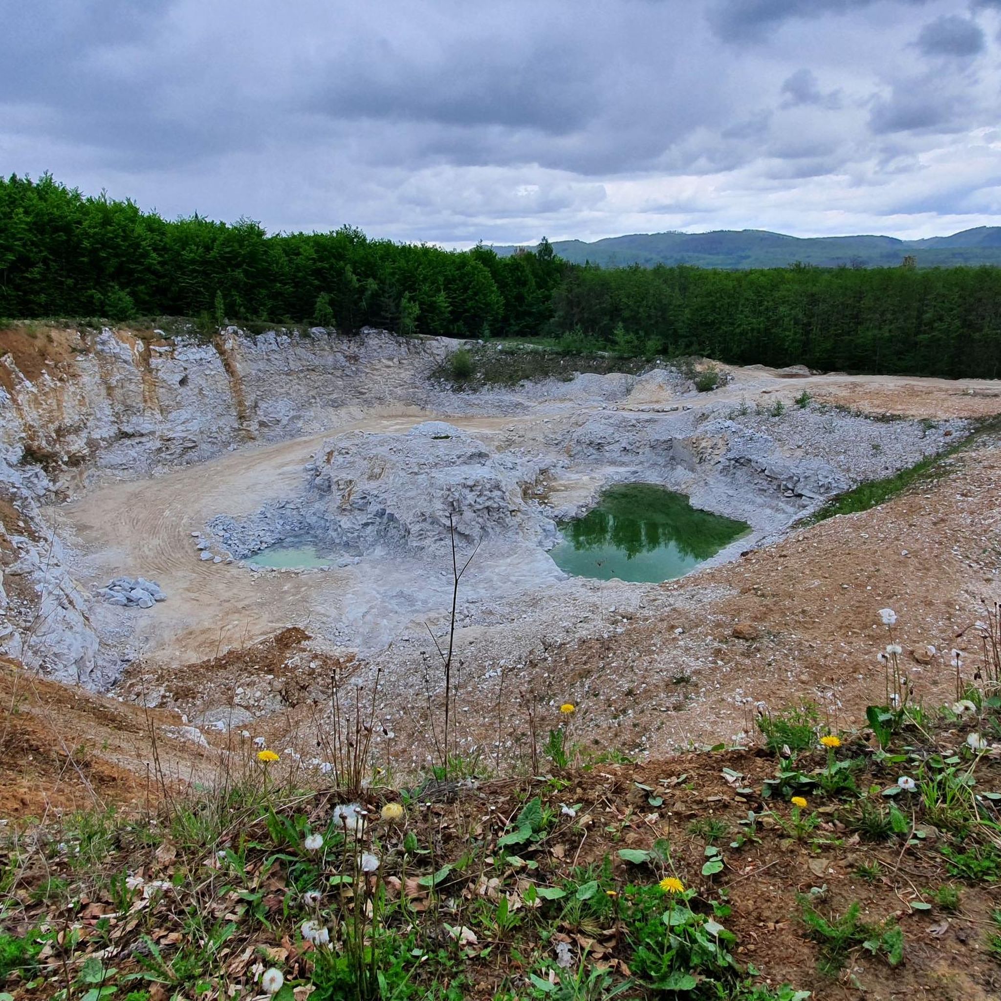
Cycling in Gipskarstlandschaft Bad Sachsa Und Walkenried
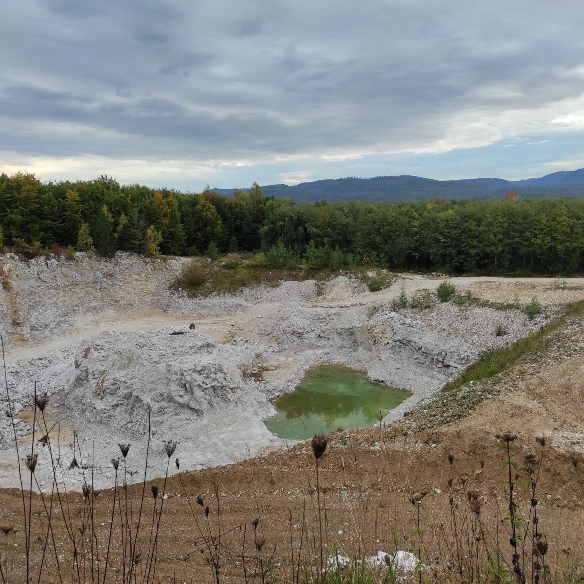
MTB Trails in Gipskarstlandschaft Bad Sachsa Und Walkenried
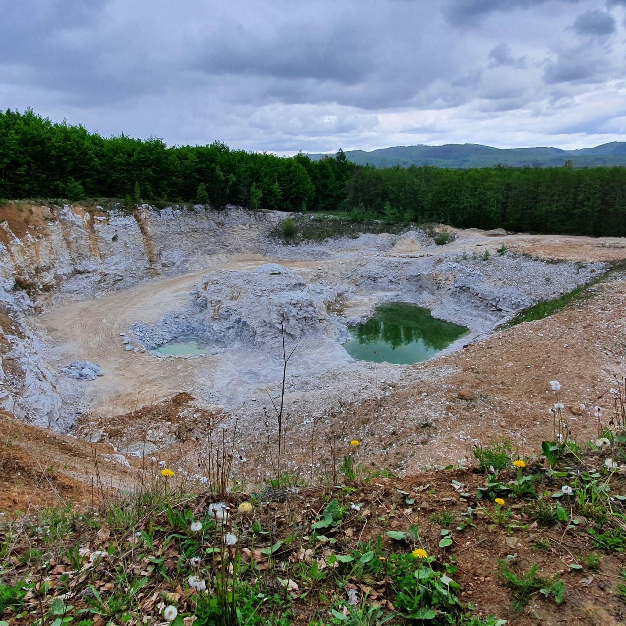
Road Cycling Routes in Gipskarstlandschaft Bad Sachsa Und Walkenried
Running Trails in Gipskarstlandschaft Bad Sachsa Und Walkenried

Gravel biking in Gipskarstlandschaft Bad Sachsa Und Walkenried

Mountain Hikes in Gipskarstlandschaft Bad Sachsa Und Walkenried
Tips from the Community

A very nice hiking tour from the free parking lot at Walkenried Monastery to the stamp point HWN 167. Just walk along the Karstwanderweg, it is very well signposted 👍
0
0

The pond was used by the monks of the monastery as a fish pond
1
1

Hiking section with a deep view and many old trees.
3
0

a nice and clean shelter at the crane ponds, it's not far from here to the "HIstorical gypsum kiln".
4
0
The crane ponds offer some great photo opportunities, a circular route leads around them, and it's not far from here to the "Historic Gypsum Kiln" stamping point
3
1
There is a great circular route around the Itelteich and stamp hunters can capture stamp 167 of the HWN, there are some great views on the round.
11
1

The two ponds are located near Bad Sachsa, west of the Neuhof district, and were created by the monks of the Cistercian monastery of Walkenried starting in the 12th century. A nature trail – a hiking trail – leads from the parking lot at the Crane Ponds in Neuhof around the Upper and Lower Crane Ponds, as well as the remains of other ponds. Because of their proximity to nature, the ponds are now part of the "Gypsum Karst Area near Bad Sachsa" nature reserve, which extends in several areas from Tettenborn to the Thuringian border; the area is also part of the European Natura 2000 protected area network. Crystal algae thrive in the clean, calcareous water of the ponds. The still waters also provide good conditions as a partial habitat for great crested newts. The marsh harrier also lives in the water-rich landscape near Neuhof and can occasionally be observed. Short detours from the trail lead to special features of the area: the Kranichstein quarry, where raw gypsum has been mined since the early 20th century, a historic gypsum kiln, and the Priestersteinhöhle natural monument, a shallow cave in the gypsum of the Kranichstein. The Lower Kranichteich is approximately 300 m long and 130 m wide, while the Upper Kranichteich is approximately 150 m long and 200 m wide. Both ponds are a true fishing paradise: In addition to the main species, trout, anglers can look forward to eel, pike, carp, and tench.
5
0

After the slight ascent to the refuge (HWN 166), you can sit down for a short rest and enjoy the first view of the valley. From then on the wonderful Karst hiking trail begins. Unfortunately not suitable for visitors with prams or walking aids.
6
1
Frequently Asked Questions
What makes the Gipskarstlandschaft Bad Sachsa Und Walkenried unique?
This region is characterized by its distinctive gypsum karst landscape, formed over millions of years by the dissolution of gypsum rock. You'll find dramatic gypsum formations, sinkholes (dolines), caves, and underground streams, offering a fascinating geological and ecological experience. It's a place where ongoing geological processes are clearly visible, alongside diverse flora and fauna adapted to these unique conditions.
What are some must-see natural monuments in the Gipskarstlandschaft Bad Sachsa Und Walkenried?
Among the many fascinating sites, the Sachsenstein Rock Formation is a prominent gypsum cliff offering scenic views. The Lower Crane Pond Bad Sachsa, part of the historic Kranichteiche, provides a tranquil natural setting with an educational trail. You can also explore the area around the Sachsensteinhütte (HWN 166) for panoramic views of the Harz foreland.
What kind of geological features can I expect to see?
The landscape is rich in karst structures, including exposed gypsum cliffs like the Sachsenstein Cliffs, numerous sinkholes, and caves such as the Priestersteinhöhle. You'll witness the results of millions of years of natural erosion, with formations dating back to the Zechstein period.
Are there historical aspects to explore within the natural monuments?
Yes, the region has a rich history intertwined with its natural features. The Kranichteiche, for instance, are remnants of fishponds established by Cistercian monks from Walkenried Abbey starting in the 12th century. There are also former gypsum quarries, now renaturalized, and historical sites like the Itelteich West Shore, which adds a historical dimension to the natural beauty.
What wildlife and plant species can be observed in the area?
The unique gypsum-rich soils support a diverse array of flora, including rare plants like various orchids and ferns. The area is also a habitat for numerous birds, insects, and other wildlife. Near the Kranichteiche, for example, crystal algae thrive in the clean water, providing conditions for great crested newts, and marsh harriers can occasionally be spotted.
What hiking opportunities are available in the Gipskarstlandschaft Bad Sachsa Und Walkenried?
A network of well-maintained hiking trails allows visitors to explore the diverse landscape. This includes sections of the 250-kilometer-long Karstwanderweg. An educational trail circles the Upper and Lower Kranichteich, and trails lead to prominent features like the Sachsenstein. For more detailed hiking routes, you can explore the dedicated guide for Hiking in Gipskarstlandschaft Bad Sachsa Und Walkenried.
Are there family-friendly options among the natural monuments?
Yes, several areas are suitable for families. The Lower Crane Pond Bad Sachsa and the Itelteich West Shore are both noted as family-friendly, offering tranquil settings and easy trails. The educational trail around the Kranichteiche is also a great option for an informative family outing.
What is the best time of year to visit the natural monuments?
The Gipskarstlandschaft is particularly stunning in spring when wildflowers bloom and the forests are a fresh green. Autumn also offers magnificent views with vibrant changing foliage and red-golden leaves, making both seasons ideal for a visit.
What other outdoor activities can I do near these natural monuments?
Beyond hiking, the region offers excellent opportunities for cycling and gravel biking. You can find various routes that allow you to explore the unique landscape. For more information on routes, check out the guides for Gravel biking in Gipskarstlandschaft Bad Sachsa Und Walkenried and Cycling in Gipskarstlandschaft Bad Sachsa Und Walkenried.
What do visitors enjoy most about the Gipskarstlandschaft Bad Sachsa Und Walkenried?
Visitors frequently appreciate the stunning panoramic views, especially from viewpoints like the Sachsensteinhütte. The unique geological formations, the tranquility of the natural settings like the Crane Ponds, and the well-maintained hiking trails are also highly praised. Many enjoy the opportunity to connect with nature and discover the region's rich natural and historical heritage.
Are there any challenging trails for experienced hikers?
Yes, some areas offer more challenging routes. For example, the path leading up to the Sachsenstein Cliffs is described as a 'must for every hiking fan' and can be quite demanding, offering rewarding views for those who tackle the ascent.
Most popular routes in Gipskarstlandschaft Bad Sachsa Und Walkenried
Most popular attractions in Gipskarstlandschaft Bad Sachsa Und Walkenried

Get inspired with the komoot mobile app


Explore more
Extend your search for the best caves by checking out these guides of the top ones in Gipskarstlandschaft Bad Sachsa Und Walkenried:
