The best road cycling routes around Le Cerneux-Péquignot
4.3
(92)
3,374
riders
195
rides
Road cycling around Le Cerneux-Péquignot offers routes through the picturesque Jura Mountains, characterized by dense forests and rolling agricultural pastures. The region, situated at an elevation of about 1,070 meters (3,510 feet), features distinctive limestone formations and access to various mountain passes. Notable natural features include Lac des Taillères and the nearby La Brévine valley, providing diverse backdrops for road cyclists. This varied landscape ensures a range of routes from moderate valley rides to more demanding ascents.
Best road cycling…
Last updated: July 10, 2026
43
riders
47.6km
02:19
630m
630m
Moderate road ride. Good fitness required. Mostly well-paved surfaces and easy to ride.
5.0
(2)
42
riders
53.4km
02:36
620m
620m
Moderate road ride. Good fitness required. Mostly well-paved surfaces and easy to ride.

Sign up for free
32
riders
40.2km
02:07
740m
740m
Moderate road ride. Good fitness required. Mostly well-paved surfaces and easy to ride.
30
riders
77.9km
04:07
1,390m
1,390m
Hard road ride. Very good fitness required. Mostly well-paved surfaces and easy to ride.
27
riders
29.3km
01:30
490m
490m
Moderate road ride. Good fitness required. Mostly well-paved surfaces and easy to ride.
Get access to more routes and recommendations from other explorers.
Sign up for free
Already have an account?
Our route recommendations are based on thousands of hikes, rides, and runs completed by other people on komoot.
Start today with a free account
Your next adventure awaits.
Login or Signup
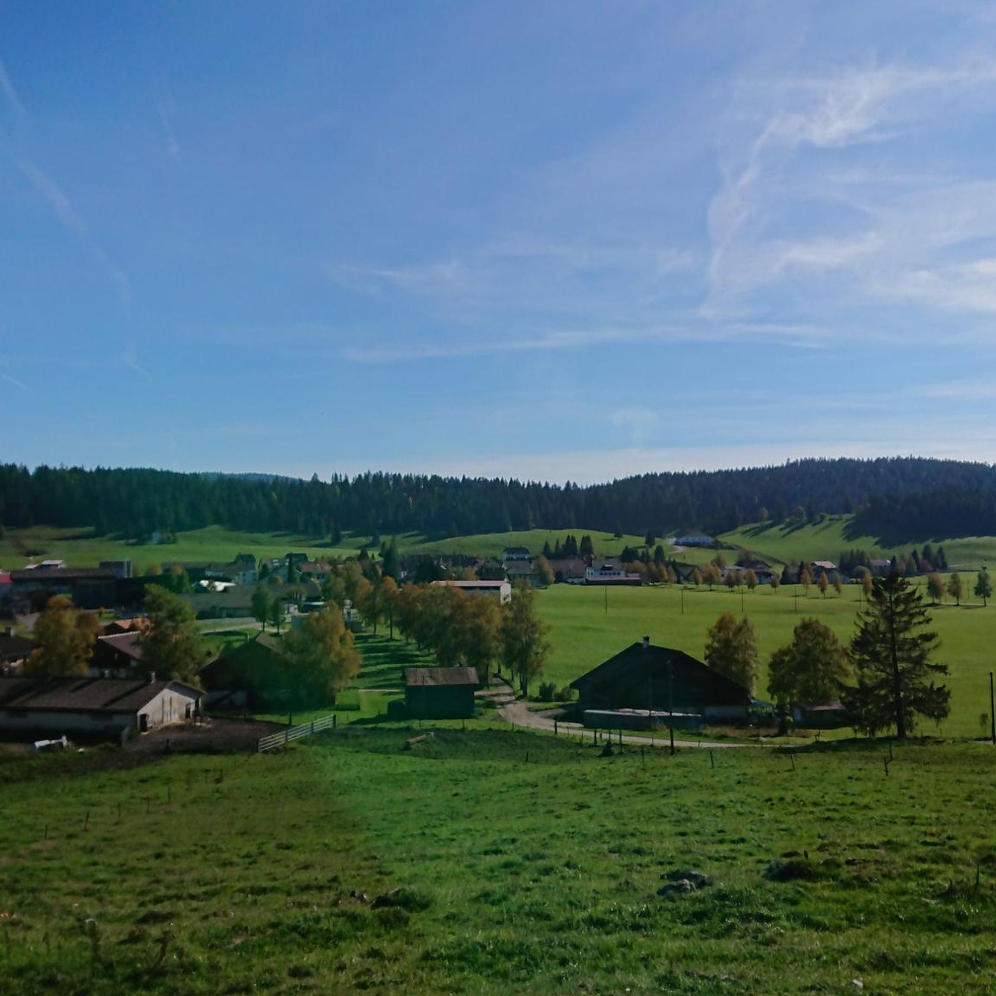
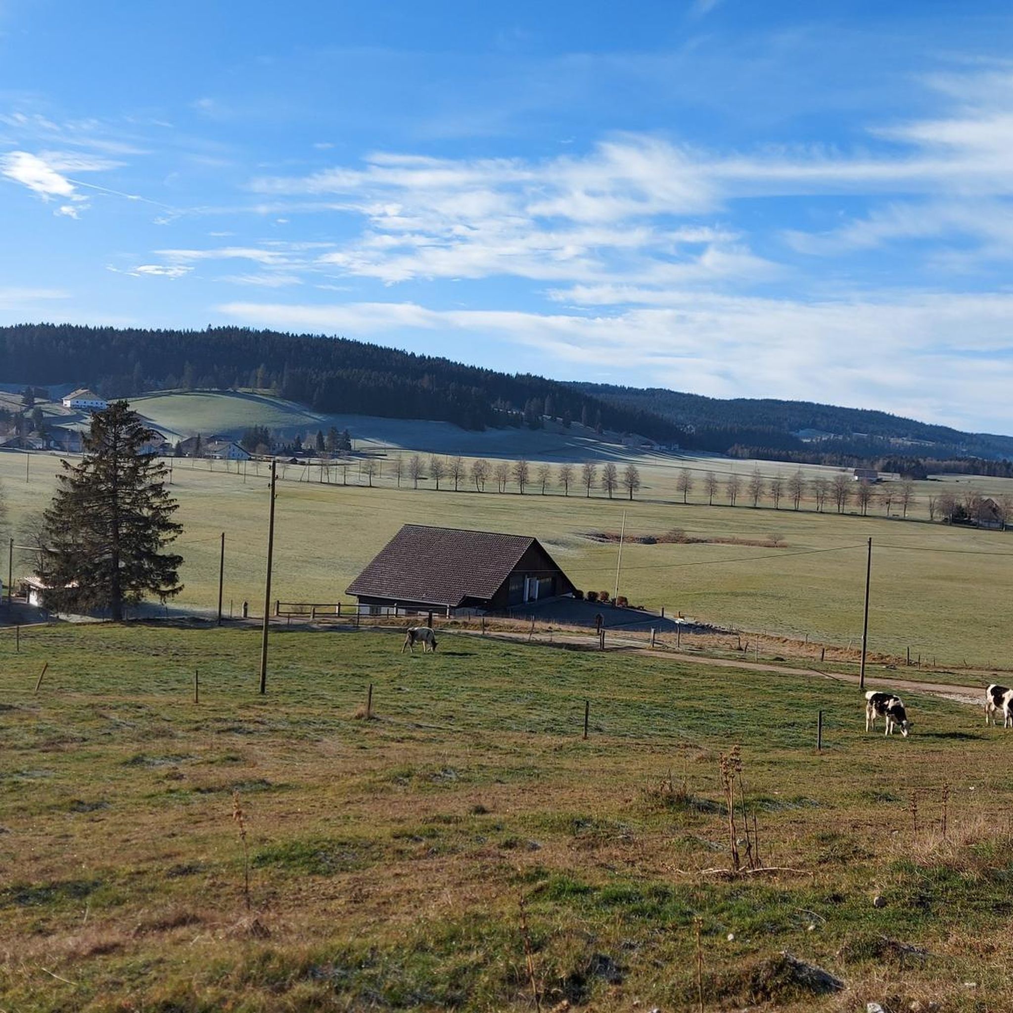
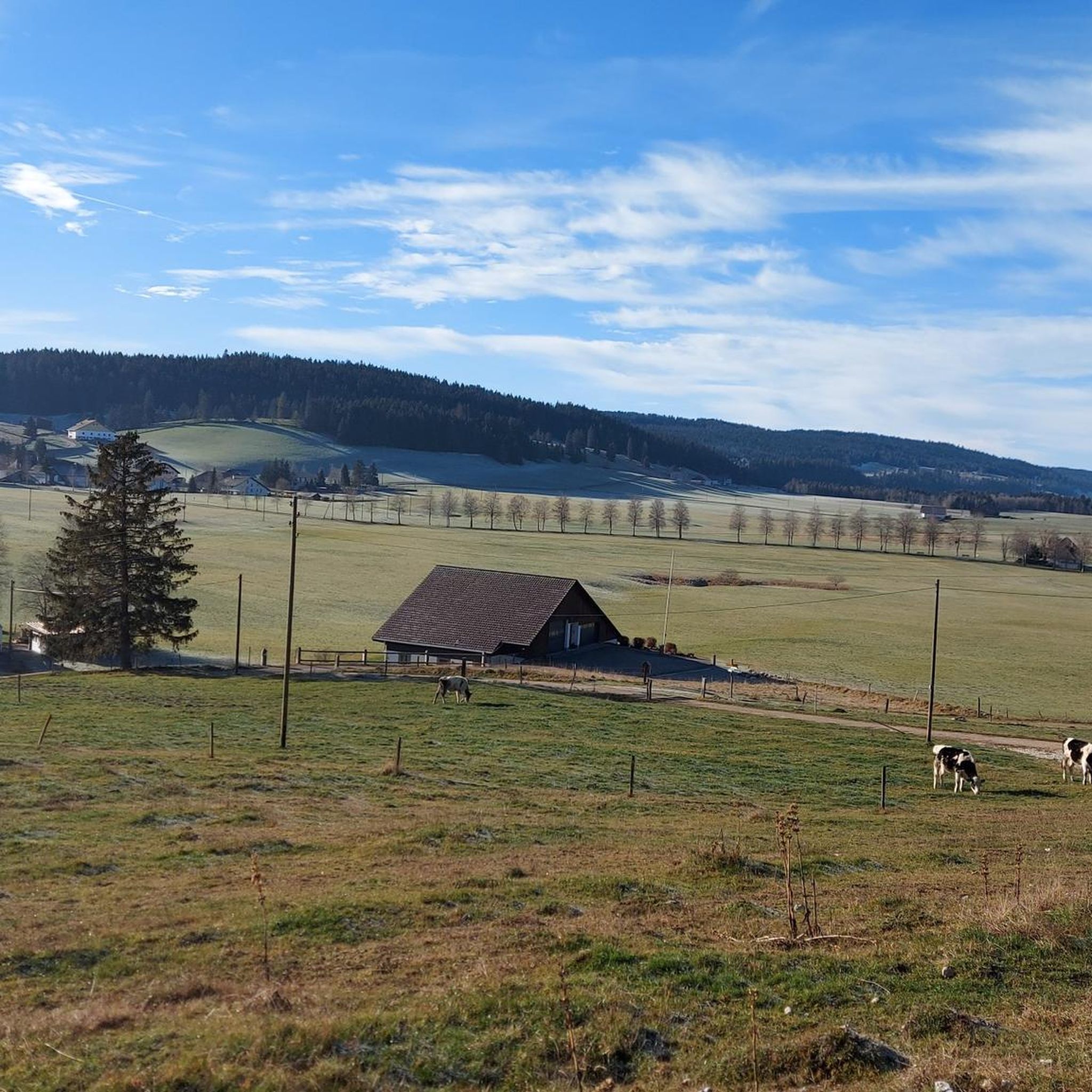
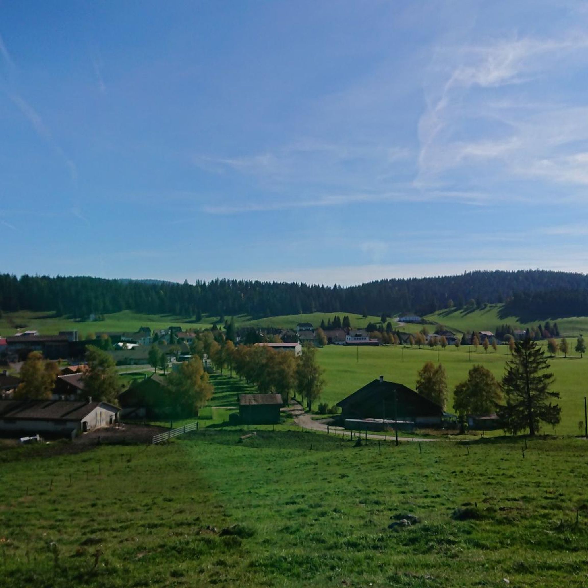
Tips from the Community

Pretty valley with popular cycle path areas
0
0

Top surface and relatively little traffic 🚴♂️👍.
0
0

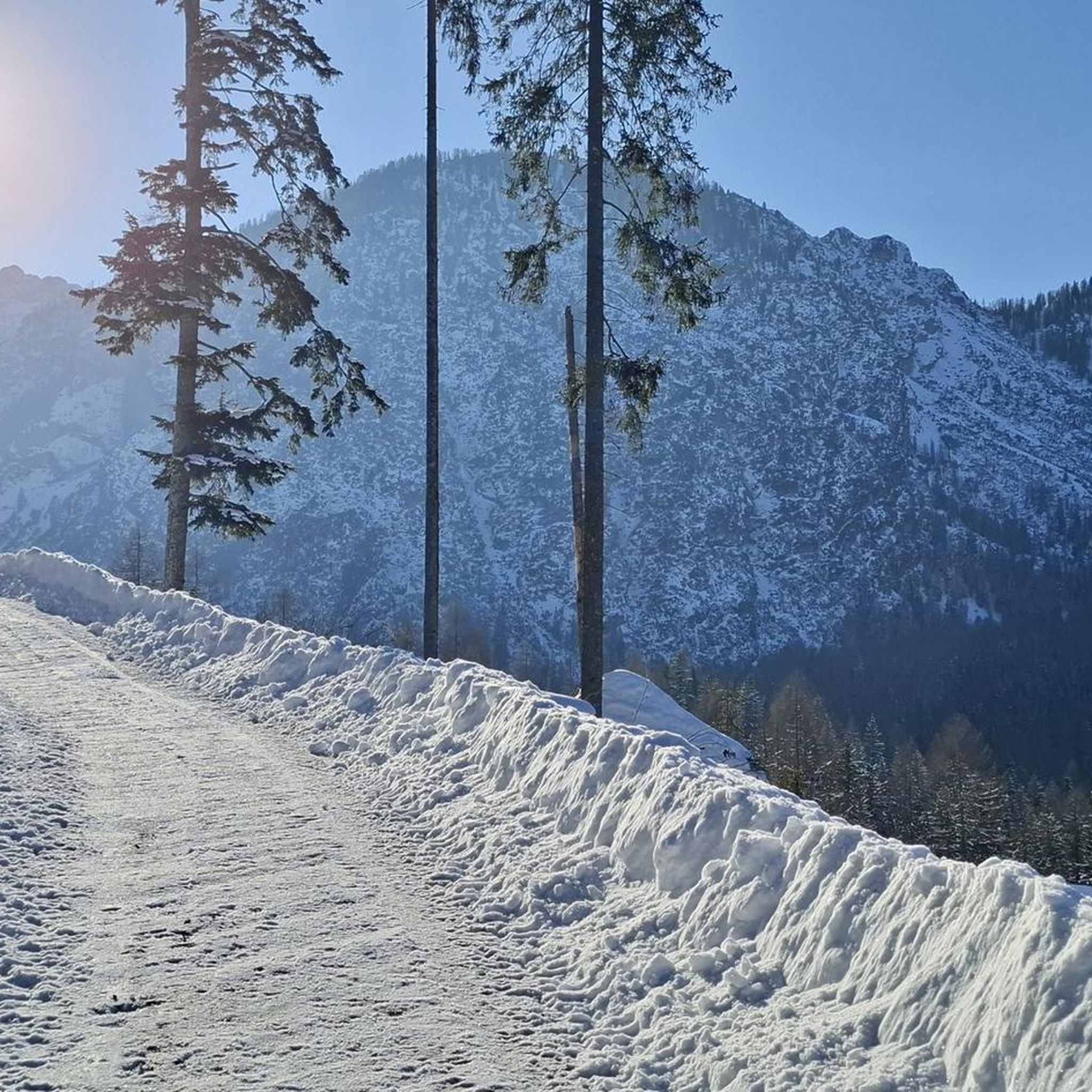
The Jura in all its splendor @
0
0
Drinking water fountain 🥵👍. It's best to fill the bottles at the edge again here.
0
0

After La Sagne there is a final climb of 2 km
0
0
Magnificent plateau, sometimes with tailwind, sometimes with headwind
0
0


Well-deserved arrival at 1200m at Vieux Châteleu and its typical inn of the region, especially when coming from Grand-Combe Châteleu via Les Gras because it climbs steeply. It is possible to climb (on foot) to Mont Châteleu which peaks at 1301m and offers an incredible panorama of the surrounding area. History has also marked this place, because it was the starting point of the numerous crossings of the Franco-Swiss border by the resistance fighter Michel Hollard with the aim of bringing information to the Allies.
0
0
Frequently Asked Questions
What kind of terrain can I expect when road cycling around Le Cerneux-Péquignot?
The region around Le Cerneux-Péquignot, nestled in the Jura Mountains, offers a diverse landscape. You'll encounter dense forests and rolling agricultural pastures, with about 40.5% of the area covered by forests and 54.9% by agricultural land. The broader Jura Mountains are known for distinctive limestone formations and numerous mountain passes, providing varied terrain from moderate valley rides to challenging ascents with significant elevation gains.
Are there road cycling routes suitable for beginners or those seeking an easier ride?
Yes, while the Jura Mountains offer challenging terrain, there are also routes suitable for less experienced cyclists. The network provides options for different ability levels, including moderate loops. For example, the Brévine Valley – Taillères Lake loop from Le Locle-Col-des-Roches is a moderate 20.5-mile route that offers scenic views without extreme difficulty.
What are some notable natural features or landmarks I can see along the road cycling routes?
The area is rich in natural beauty. You can cycle past the magnificent Lac des Taillères, often called the 'Siberia of Switzerland,' known for its cold winters and picturesque surroundings. The nearby La Brévine valley, with its enchanting fir trees and traditional Jura farms, also offers stunning scenery. Additionally, the region features several mountain passes like Col du Châteleu (1,200 m), and impressive gorges with highlights such as the Saut du Doubs Waterfall.
How many road cycling routes are available in the Le Cerneux-Péquignot area?
There are nearly 200 road cycling routes available around Le Cerneux-Péquignot. These routes cater to various skill levels, with 14 easy, 102 moderate, and 81 difficult options, ensuring there's a ride for every cyclist.
What do other road cyclists enjoy most about cycling in Le Cerneux-Péquignot?
The road cycling routes in Le Cerneux-Péquignot are highly rated by the komoot community, with an average score of 4.3 stars from over 100 reviews. Cyclists often praise the peaceful experience, the extensive forests, open pastures, and the serene Lac des Taillères, which allow riders to immerse themselves in nature away from heavy traffic.
Are there any challenging road cycling routes with significant elevation gain?
Absolutely. The broader Jura Mountains, where Le Cerneux-Péquignot is located, are known for challenging ascents. Many routes feature significant elevation gains, some exceeding 3,000 feet, catering to very fit cyclists. An example of a route with notable elevation changes is the Villers-le-Lac – Jura 1 loop from Villers-le-Lac, which includes 887 meters of ascent over 31 miles.
What is the best time of year for road cycling in Le Cerneux-Péquignot?
Road cycling in the Le Cerneux-Péquignot region is best enjoyed from May to October. During these months, the weather conditions are generally favorable, allowing cyclists to fully appreciate the scenic landscapes of the Jura Mountains.
Can I find circular road cycling routes in the area?
Yes, many of the road cycling routes around Le Cerneux-Péquignot are designed as loops, offering convenient circular journeys. For instance, the Lac des Taillères – Vallée des Ponts loop from La Brévine is a moderate 33-mile route that brings you back to your starting point after exploring the beautiful valley and lake.
Are there any routes that follow rivers or cross borders?
Yes, given its location near the French-Swiss border, you can find routes that traverse this unique area. The Morteau – Bridge over the Doubs loop from Villers-le-Lac is a 29.5-mile trail that leads through the border region along the Doubs river, offering a distinct cross-border cycling experience.
Where can I find mountain passes to cycle over in this region?
The Jura Mountains surrounding Le Cerneux-Péquignot are home to several mountain passes. You can explore passes like Col sur le Mont, Col des Neigeux, and South Ascent of Col de la Tourne. These passes often provide rewarding panoramic views, such as the View of Lake Neuchâtel from Col de La Tourne.
What is the general elevation of Le Cerneux-Péquignot and how does it affect cycling?
Le Cerneux-Péquignot itself is situated at an elevation of about 1,070 meters (3,510 feet). This high starting point means that even moderate routes can involve significant climbs and descents as you navigate the rolling hills and mountain passes of the Jura, providing a good workout and rewarding views.
Most popular routes around Le Cerneux-Péquignot
Most popular attractions around Le Cerneux-Péquignot

Get inspired with the komoot mobile app


Explore more
Browse the best Road cycling routes in other regions.
