Top 11 Natural Monuments around Rothbury
Best natural monuments around Rothbury are found amidst rolling hills, dramatic crags, and ancient historical sites. The area is characterized by its distinctive sandstone hills and diverse habitats, including moorland and woodlands. This region offers a variety of natural landmarks and viewpoints for exploration. Visitors can discover a landscape where natural beauty and historical significance converge.
Best natural monuments around Rothbury
- The most popular natural monuments is Simonside Summit, a natural monument that is a 429m summit in the…
Last updated: October 4, 2026
Simonside Summit
Highlight • Natural Monument
Tip by

Lordenshaw Cup and Ring Marked Rock
Highlight • Historical Site
Tip by

Sign up now to discover places like this
Get recommendations on the best single tracks, peaks, & plenty of other exciting outdoor places.
View from Dove Crag
Highlight • Natural Monument
Tip by
Little Church Rock
Highlight • Natural Monument
Tip by

Long Crag Summit
Highlight • Viewpoint
Tip by

Sign up for free to discover even more natural monuments around Rothbury.
Already have an account?
Start today with a free account
Your next adventure awaits.
Popular around Rothbury
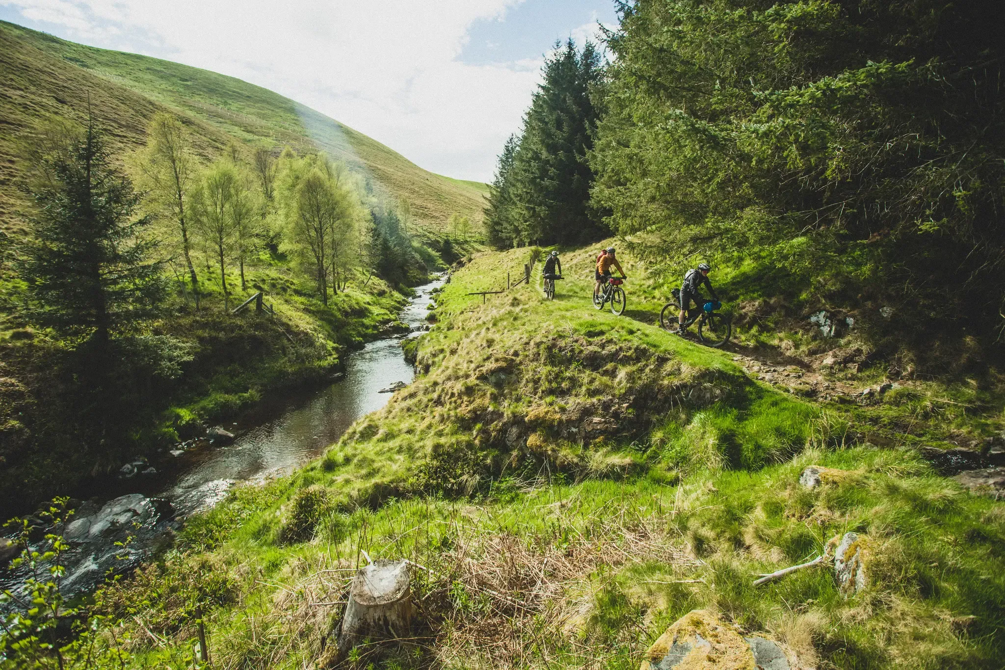
Slymefoot Slide — bikepacking the Breamish and Coquet rivers
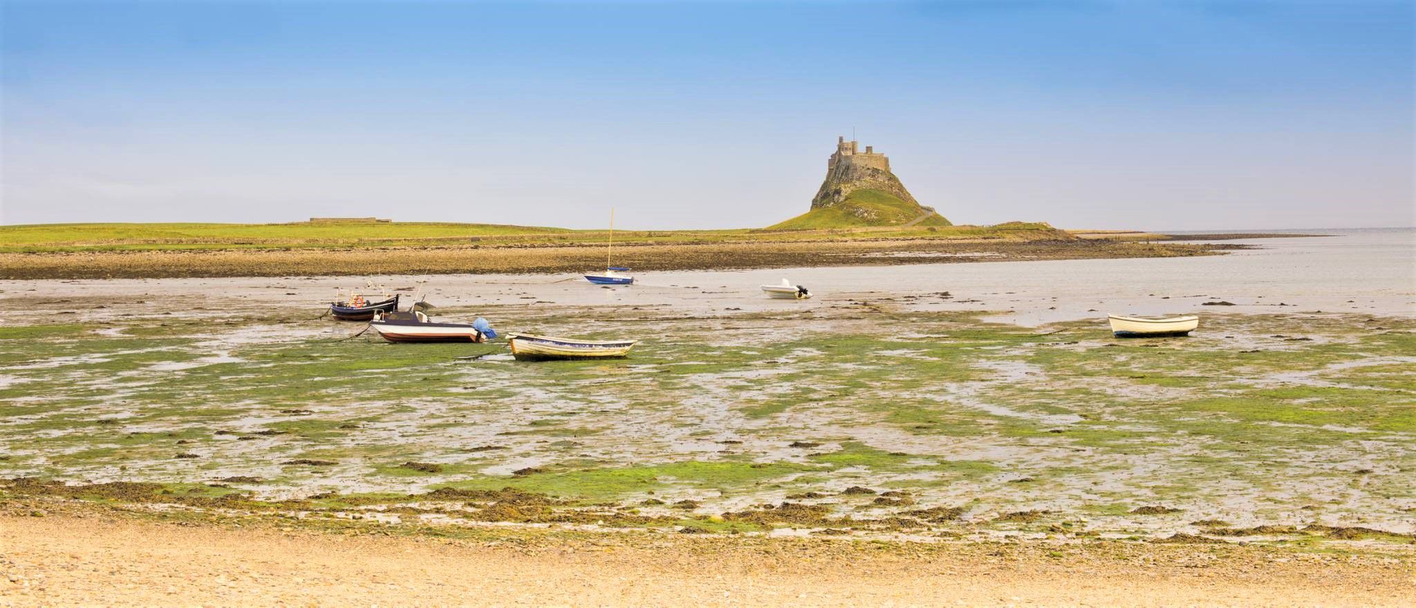
St Oswald's Way — Hike Northumberland's heavenly coast and wild heart

Walk Britain – 90 car-free adventures in England, Wales and Scotland
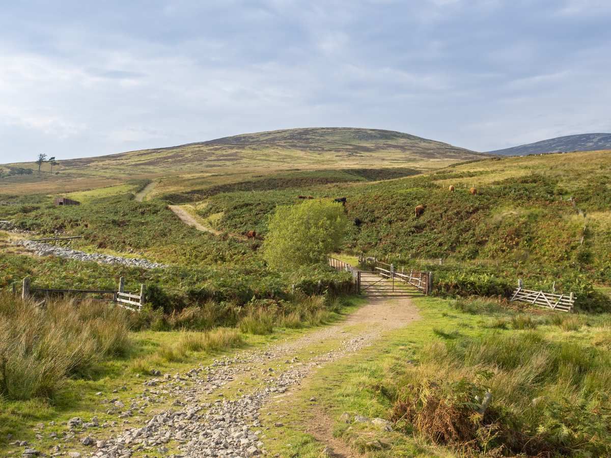
Shore to Fell in Northumberland — The Sandstone Way
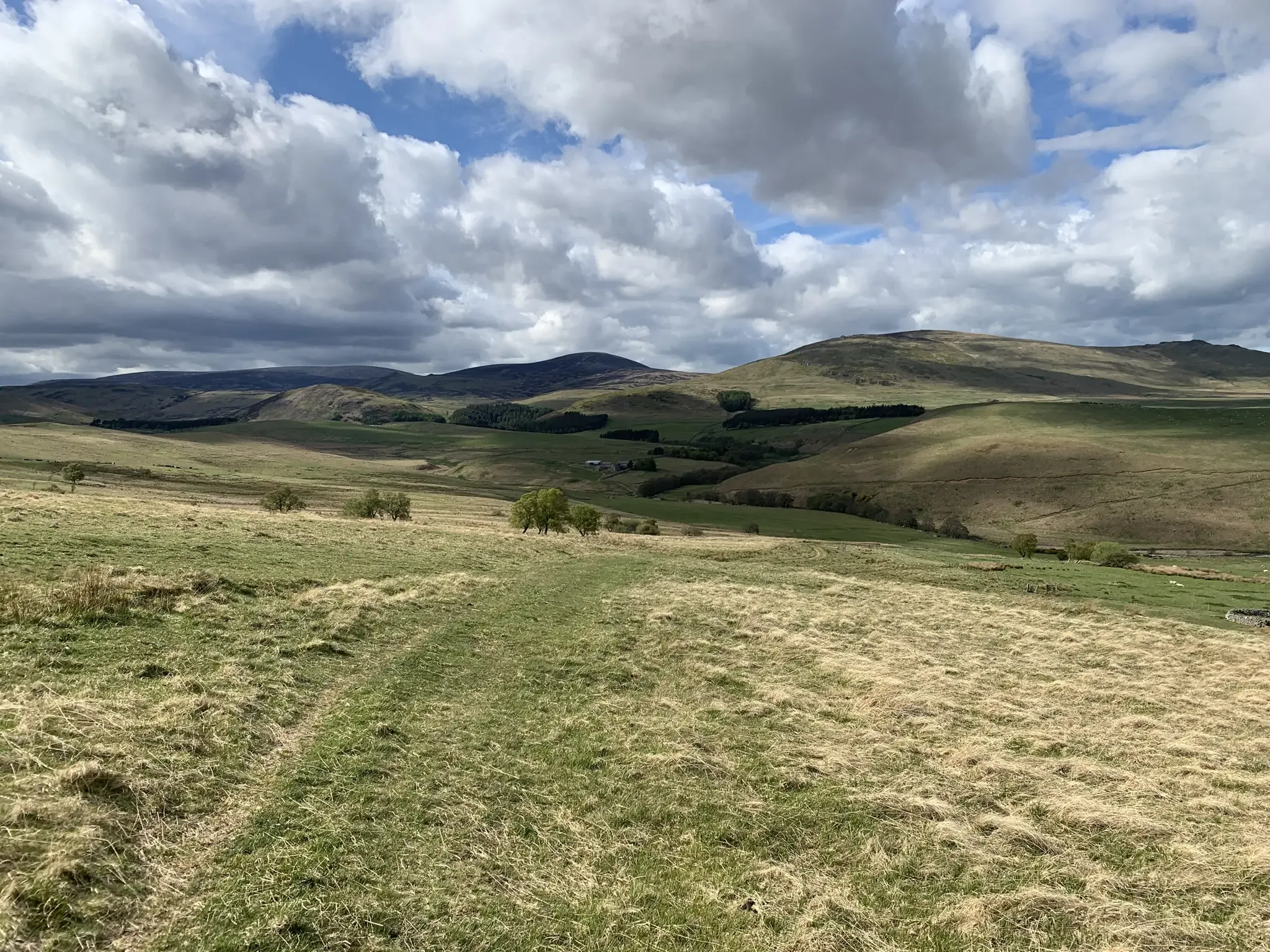
Mountain biking in the remote borderlands of Northumberland
Hiking around Rothbury
Road Cycling Routes around Rothbury
MTB Trails around Rothbury
Running Trails around Rothbury
Cycling around Rothbury
Other adventures around Rothbury


Tips from the Community

can be easy or difficult, depends which side you ascend from. so choose wisely
2
0

Long Crag 319.3m P170 (1047ft) MARILYN (DoBIH Hill ID: 2316) [JNSA 12708] County of Northumberland Definitive List summit.
0
0


Simonside is a 429m (1400ft) summit perched atop the untamed wilderness of the Northumberland National Park. It boasts a rugged ridge that commands sensational views of the Cheviot Hills to the north and the whole Northumbrian coastline to the east. In close reach from Rothbury, Simonside is a top pick for epic views. Bring a flask of tea, settle in and relish the perfect scenery surround you.
4
0

A lovely lonely isolated outcrop of fell sandstone hidden in a dense forest. It may have been a gathering place in days past and hence its name. A very old and eerie gathering place at that. A lovely place full of character though.
2
0

Exposed rocky tracks that are waterways during rainfall are what these bridleways are. Can be difficult to ride on and getting rythmn peddling can be difficult. Plenty sections need the bike pushed. Be careful, there are loads of rocky drops where it can be very easy to twist ankles.
0
0


Lordenshaws is an ancient Iron Age hill fort built around 2000 years ago. There is also evidence of a Bronze Age burial mound. The cup and ring marks on this great stone are thought to be rock art etched into the stone by Neolithic and Bronze Age people between 6000 and 3500 years ago. It's well worth running up here from the car park before starting a loop of the Simonside Hills to have a look at this ancient monument and take in the views of the hills you're about to run. It's also on the St Oswald's Way long distance trail or on the way to the Simonside Hills from Rothbury.
0
0
Frequently Asked Questions
What are some popular hiking trails around Rothbury's natural monuments?
The Simonside Hills offer several popular routes, including the Simonside Ridge Walk, which provides magnificent 360-degree views. You can also explore various trails within the extensive grounds of Cragside Estate, such as the six-mile carriage drive. For more options, check out the hiking guide for Rothbury, which includes routes like the 'Simonside & Dove Crag loop'.
Are there family-friendly natural monuments around Rothbury?
Yes, the natural grounds of Cragside Estate are very family-friendly, with diverse plant life, serene lakes, and dramatic waterfalls to explore. The estate also features a six-mile carriage drive suitable for walks. Additionally, the area around Lordenshaw Cup and Ring Marked Rock offers an engaging historical experience within a natural setting, with a short walk from the car park.
What natural features and viewpoints can I expect to see?
Rothbury's natural monuments are rich in features. The Simonside Hills boast prominent sandstone crags and moorland, with the Simonside Summit offering panoramic views of the Cheviot Hills and the North Sea. From View from Dove Crag, you can enjoy spellbinding views over Northumberland. Cragside Estate features three man-made lakes, foaming waterfalls, and a Pinetum with some of the UK's tallest coniferous trees.
When is the best time of year to visit the natural monuments around Rothbury?
The natural monuments around Rothbury can be enjoyed year-round, but each season offers a different experience. Spring and summer are ideal for lush greenery and vibrant rhododendrons at Cragside. Autumn brings beautiful foliage, especially in the wooded areas. While winter can be boggy on higher ground like Simonside, it offers crisp views, but good footwear is essential.
Are there any historical or archaeological natural monuments in the area?
Yes, Lordenshaw Cup and Ring Marked Rock is a significant site featuring ancient cup and ring marked stones, created by Neolithic and Bronze Age people between 6000 and 3500 years ago. It's part of a larger archaeological landscape that includes an Iron Age hillfort and Bronze Age burial mounds, offering a profound connection to the past within a natural setting.
Is parking available at Rothbury's natural monuments?
Yes, parking is generally available near the main natural monuments. For instance, there is a car park conveniently located for accessing Lordenshaw Cup and Ring Marked Rock. Cragside Estate also has extensive parking facilities for visitors exploring its grounds. For specific locations, it's advisable to check local signage upon arrival.
What outdoor activities can I do near these natural monuments?
Beyond hiking, the Rothbury area offers various outdoor activities. You can find gravel biking routes, including challenging ones like the 'Simonside Car Park – Viewpoint on Simonside Hills loop'. For easier walks, consider routes like 'Nelly's Moss Lake, Cragside – Nelly's Moss Lakes loop'. Explore more options in the easy hikes guide or the gravel biking guide for Rothbury.
Are any natural monuments around Rothbury accessible for all visitors?
While many natural monuments involve uneven terrain, parts of Cragside Estate offer more accessible paths, particularly around the main house and some sections of the carriage drive. For specific accessibility information, it's recommended to check the National Trust's official website for Cragside. Higher elevation sites like the Simonside Hills involve more challenging, rugged terrain.
How much time should I allocate to visit the natural monuments?
The time needed varies significantly. A visit to Lordenshaw Cup and Ring Marked Rock might take an hour or two. Exploring the Simonside Hills, including reaching the Simonside Summit, could be a half-day to full-day hike. Cragside Estate's extensive grounds could easily fill a full day, especially if you wish to explore its lakes, waterfalls, and various walking trails.
Are there dog-friendly natural monuments near Rothbury?
Many of the natural monuments around Rothbury are dog-friendly, especially for walks on public footpaths and bridleways. The Simonside Hills are popular with dog walkers, though dogs should be kept on leads, especially during lambing season or near livestock and wildlife. Cragside Estate also welcomes dogs in most outdoor areas, but specific restrictions may apply in certain gardens or buildings.
What is Little Church Rock?
Little Church Rock is an isolated outcrop of fell sandstone hidden within a dense forest. It's known for its character and may have served as a gathering place in ancient times, hence its name. It features cup marks that are thought to be man-made and over 4,000 years old, offering a secluded spot with views.
What makes Brinkburn Priory a natural monument?
While Brinkburn Priory is a historical monument, its natural setting is a key part of its appeal. It's situated in a remarkably peaceful and picturesque spot on a bend of the River Coquet, almost hidden in a steep-sided, thickly wooded valley. The tranquil environment, with the sounds of the river and birds, makes its natural surroundings a significant draw for visitors seeking peace and natural beauty.
Most popular routes around Rothbury
Most popular attractions around Rothbury

Get inspired with the komoot mobile app


Explore more
Extend your search for the best caves by checking out these guides of the top ones around Rothbury:
