Top 7 Natural Monuments around Neen Savage
Natural monuments around Neen Savage are primarily concentrated on Brown Clee Hill, the highest point in Shropshire. This area features open heathland, offering expansive views of the Shropshire countryside. The landscape is characterized by its geological significance and historical intrigue, including Iron Age hillforts. These locations provide opportunities for outdoor activities and exploring the region's natural and historical features.
Best natural monuments around Neen Savage
- The most popular natural monuments is Abdon Burf Summit (Highest Point of Brown Clee Hill)…
Last updated: July 1, 2026
Abdon Burf Summit (Highest Point of Brown Clee Hill)
Highlight • Viewpoint
Tip by

Titterstone Clee Hill summit
Highlight • Natural Monument
Tip by
Sign up now to discover places like this
Get recommendations on the best single tracks, peaks, & plenty of other exciting outdoor places.
Sign up for free
Worcestershire Natural Flood Management Project – Leaky Dams in Wyre Forest
Highlight • Natural Monument
The aim of this project is to reduce flooding in
the Dowles Brook catchment, by implementing at large number of …
Tip by

Nordy Bank Hillfort
Highlight • Viewpoint
Tip by
Ruskin Land
Highlight • Forest
Tip by
Sign up for free to discover even more natural monuments around Neen Savage.
Sign up for free
Already have an account?
Start today with a free account
Your next adventure awaits.
Login or Signup
Tips from the Community

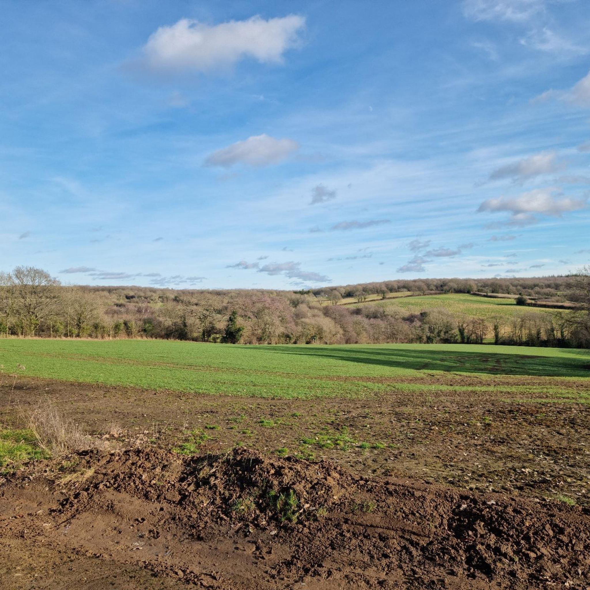
Nice route to the Clee Hills. Parking to the north as well at the excitingly named Cockshutford
0
0

There is the bracket of the original Trig Point cemented into the path that leads to the Toposcope.
0
0

The Wyre Forest Beaver enclosure is worth stopping at. Can't guarantee to see any but you never know 😁
0
0

Incredible 360 views all around. A great muddy descent from the top.
0
0

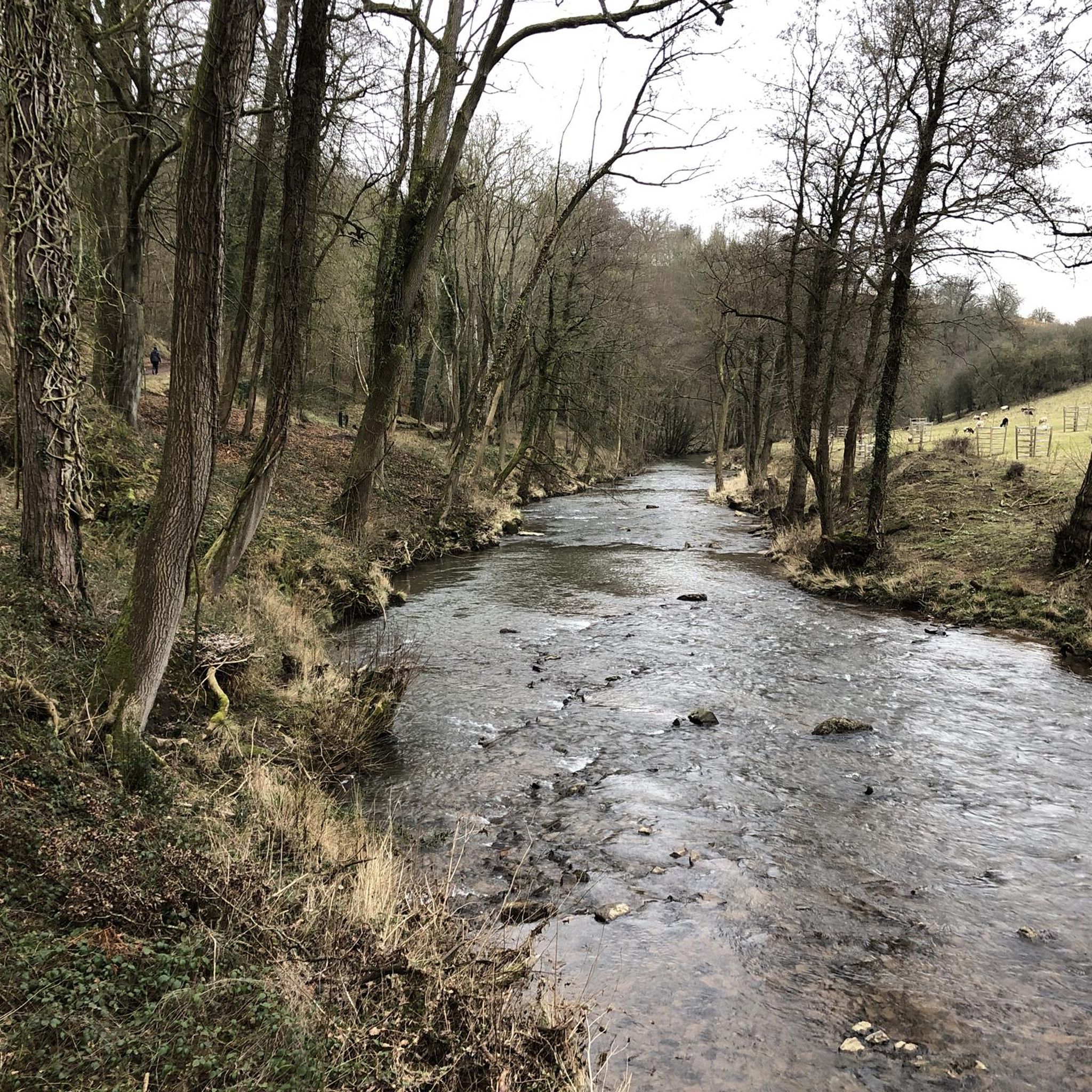
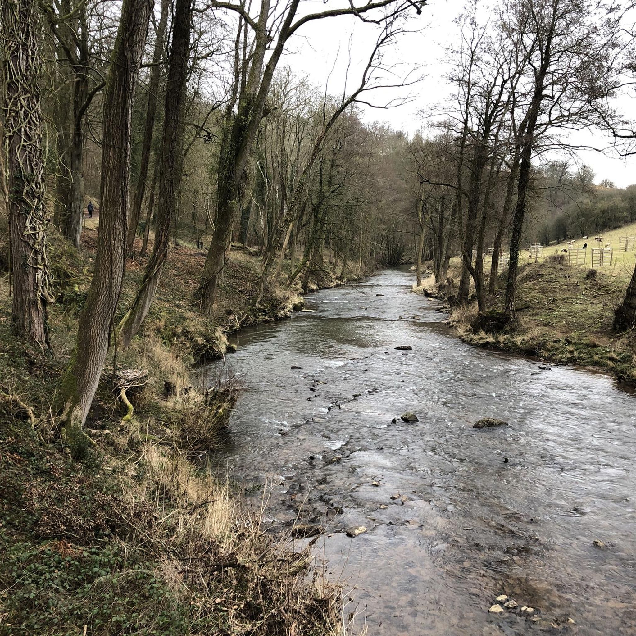
Worcestershire Natural Flood Management (NFM) Project in the Wyre Forest. The aim of this project is to reduce flooding in the Dowles Brook catchment, by implementing at large number of small scale, natural interventions in upstream areas to help slow the flow of water and hold it back during times of high flows. These measures involve working on the tributaries of the Dowles Brook and could include things such as planting hedges, creating wetland areas. attenuation ponds, leaky dams, soll aeration and other land management techniques The intention is to slow the flood peak on the Dowdes so it does not coincide with the flood peak on the River Severn at Bewdley. Water moving at speed through the landscape is incredibly destructive and leads to erosion, soil loss and widespread damage, therefore slowing down the water has a wealth of positive impacts. It is the intention that many more features will be installed over the riext few years with the aim of slowing the flow throughout the catchment. If you would like more information, or are a landowner who is keen to get involved. please contact the NFM Project Officer al Worcestershire County Council. www.worcestershire.gov.uk/NFM Natural Flood Management - Leaky Dams Trees are sourced from the immediate stream side and used to build a lattice. Over time, especially in high flow, smaller woody debris accumulates naturally, and this increases the effectiveness of the leaky dam. The dars are wedged behind living tree stumps to prevent them moving or floating away, over time they bed in and naturalise as part of the landscape. Leaky dams work with nature, providing a food source and habitat for wildlife. This timber lattice allows wildlife, such as fish, to move freely upstream and downstream. Leaky dams are constructed to allow free passage of water in normal flows, and only hold water back when required during high rainfall. The backed up water is pushed out of the channel into appropriate sites upstream where silts are deposited. A single structure has little impact, but a series of leaky dams at various locations can help reduce the risk of flooding downstream. Felling by the river bank allows more sunlight to reach the watercourse and its banks. This leads to the growth of marginal vegetation, creating further food sources and habitats for wildlife.
0
0
This area of the Wyre Forest Site of Special Scientific Interest belongs to John Ruskin's charity, the Guild of St George and is managed by the Wyre Community Land Trust. We are managing this area to support a mixture of high forest and heathland, which are valuable habitats for bats, birds and other species. In large areas of the woodland, the trees. are relatively young, and mainly comprise oak with bracken and bramble. This lack of diversity is a result of changes in woodland management following World War 1. when much of the woodland was no longer coppiced because of a collapse in the charcoal industry. In order to improve the habitat diversity, some trees have been removed to give those remaining more space to grow into large mature trees. The trees that are felled are extracted and processed at the Wyre Community land Trust's woodyard and sawmill at St George's Farm and used to make a variety of timber products and firewood. Volunteers have helped plant trees to ensure the forest has a diverse mixture of tree species that is more resilient to pests, disease and the effects of climate change.
0
0

Frequently Asked Questions
What are some of the most prominent natural monuments to visit around Neen Savage?
The natural monuments around Neen Savage are primarily concentrated on Brown Clee Hill. Key locations include Abdon Burf Summit, the highest point in Shropshire, offering expansive views. Another significant spot is Clee Burf, the second summit of Brown Clee Hill, known for its fantastic views of the Shropshire Hills AONB. Additionally, Titterstone Clee Hill summit, the third-highest point, provides exceptional 360-degree views.
What kind of views can I expect from the natural monuments in this area?
You can expect expansive and panoramic views from the natural monuments around Neen Savage. From Abdon Burf Summit, you'll see far across the Shropshire countryside on clear days. Clee Burf offers fantastic vistas of the Shropshire Hills AONB, while Titterstone Clee Hill summit provides exceptional 360-degree views of the surrounding landscapes.
Are there any historical sites among the natural monuments near Neen Savage?
Yes, several natural monuments in the area have significant historical elements. Nordy Bank Hillfort, located on Brown Clee Hill, is an Iron Age hillfort with visible ramparts. There was also an Iron Age hillfort on Clee Burf, though much of it has been affected by historical quarrying. Titterstone Clee Hill summit is also the site of an Iron Age hillfort, though quarrying has significantly altered its landscape.
What outdoor activities can I do near the natural monuments around Neen Savage?
The area around Neen Savage offers excellent opportunities for outdoor activities, particularly hiking and exploring. You can find various routes for different skill levels. For more detailed information on hiking, cycling, and mountain biking trails, you can explore the MTB Trails around Neen Savage, Cycling around Neen Savage, and Easy hikes around Neen Savage guides.
Are there hiking trails suitable for different skill levels around these natural monuments?
Yes, the natural monuments around Neen Savage, particularly on Brown Clee Hill, offer a variety of footpaths suitable for different skill levels. You can find easy hikes like the 'Ford Crossing at Neen Savage loop' or more challenging routes that ascend the summits. For specific routes and their difficulty, refer to the Easy hikes around Neen Savage guide and other komoot guides for the region.
Can I find routes for cycling or mountain biking near Neen Savage's natural monuments?
Yes, the region around Neen Savage provides options for both cycling and mountain biking. You can find routes like the 'Nordy Bank Hillfort – Clee Burf loop' for mountain biking or the 'Clee Hills loop from Cleobury Mortimer' for touring bicycles. Explore the MTB Trails around Neen Savage and Cycling around Neen Savage guides for detailed routes.
Are the natural monuments around Neen Savage suitable for families with children?
Many areas around the natural monuments, especially the lower slopes and designated trails, can be suitable for families. For example, the Worcestershire Natural Flood Management Project – Leaky Dams in Wyre Forest is explicitly categorized as family-friendly. When planning a visit with children, consider the difficulty ratings of specific trails and the elevation gain, as some summit ascents can be challenging.
Are the natural monuments around Neen Savage dog-friendly?
Generally, the open heathlands and footpaths around the natural monuments on Brown Clee Hill are dog-friendly. However, it's always advisable to keep dogs under control, especially near livestock, and to check for any specific local restrictions or signage. Always clean up after your dog to preserve the natural environment.
Where can I find parking when visiting the natural monuments?
Parking is available at various points around the natural monuments. For instance, when visiting Nordy Bank Hillfort, parking can be found to the south, at Stokegorse, or to the north at Cockshutford. Specific parking information is often available in the tips for individual highlights on komoot.
What is the best time of year to visit the natural monuments around Neen Savage?
The natural monuments around Neen Savage can be enjoyed year-round, but each season offers a different experience. Clear days, regardless of the season, provide the best panoramic views from the summits. Spring and summer offer lush landscapes and milder weather, while autumn brings vibrant colors. Winter visits can be beautiful but require appropriate gear for potentially colder and windier conditions on the exposed hilltops.
What do visitors enjoy most about the natural monuments around Neen Savage?
Visitors frequently highlight the stunning panoramic views from the summits, especially from Abdon Burf Summit and Titterstone Clee Hill summit. The historical intrigue of the Iron Age hillforts, such as Nordy Bank Hillfort, and the sense of being at Shropshire's highest points are also highly appreciated. The open heathlands provide a great sense of space and freedom for exploration.
Are there any unique natural features besides the summits to explore?
Beyond the prominent summits, the area features open heathland, which is a unique natural habitat. Additionally, the Worcestershire Natural Flood Management Project – Leaky Dams in Wyre Forest showcases an interesting ecological initiative, where natural interventions like leaky dams are used to manage water flow and create habitats for wildlife. This project highlights a different aspect of natural monument preservation and environmental engineering.
Most popular attractions around Neen Savage

Get inspired with the komoot mobile app


Explore more
Extend your search for the best caves by checking out these guides of the top ones around Neen Savage:
