Top 7 Natural Monuments around Farlow
Best natural monuments around Farlow, Shropshire, are characterized by their elevated terrain and significant historical features. The region is dominated by the Clee Hills, including Brown Clee Hill and Titterstone Clee Hill, which are among the highest points in Shropshire. These natural features offer expansive viewpoints and are often sites of ancient hillforts, providing a blend of natural beauty and historical interest. The landscape primarily consists of open heathland and some forested areas, making it suitable for exploration.
Best natural…
Last updated: July 1, 2026
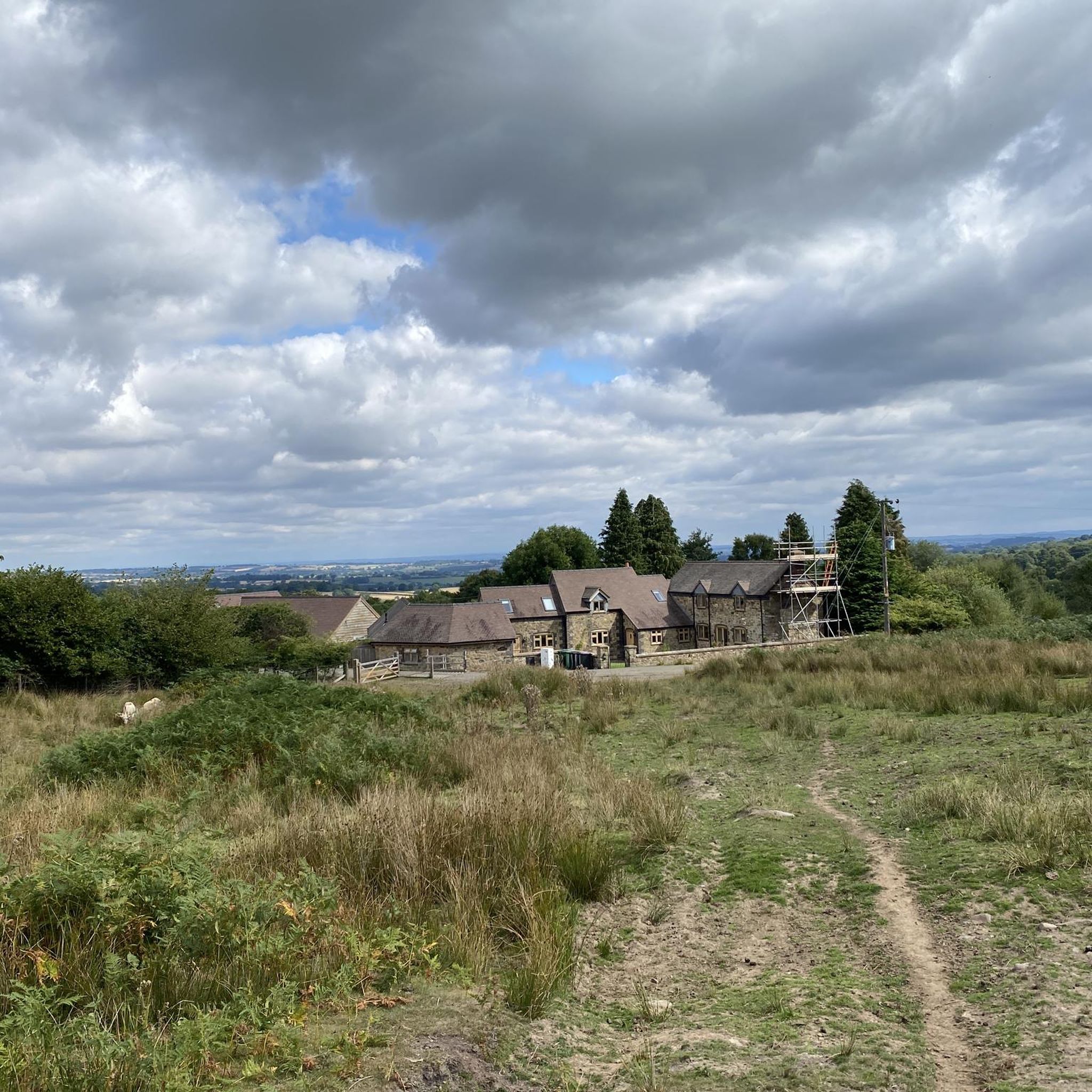
Abdon Burf Summit (Highest Point of Brown Clee Hill)
Highlight • Viewpoint
Tip by

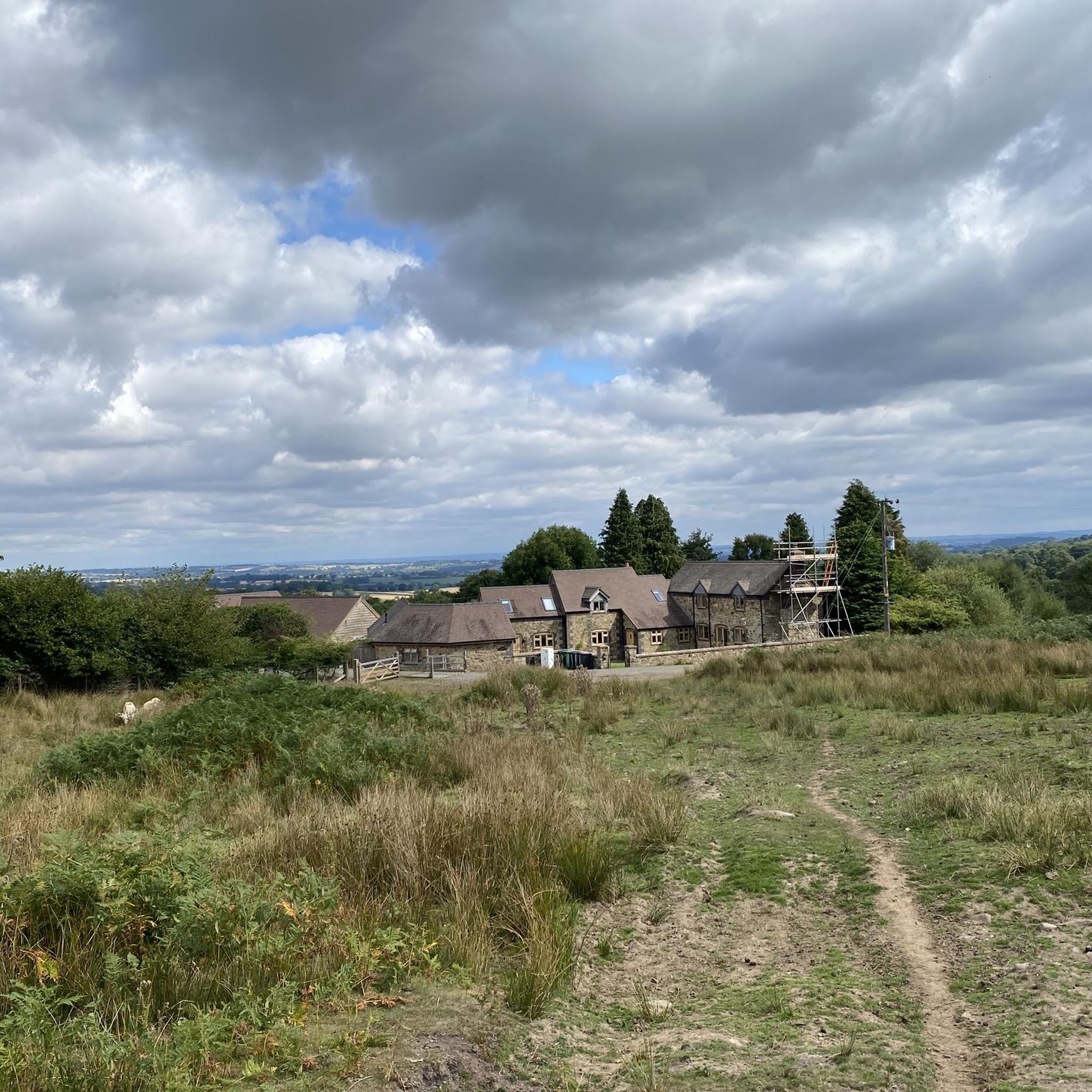
Titterstone Clee Hill summit
Highlight • Natural Monument
Tip by
Sign up now to discover places like this
Get recommendations on the best single tracks, peaks, & plenty of other exciting outdoor places.
Sign up for free
Worcestershire Natural Flood Management Project – Leaky Dams in Wyre Forest
Highlight • Natural Monument
The aim of this project is to reduce flooding in
the Dowles Brook catchment, by implementing at large number of …
Tip by

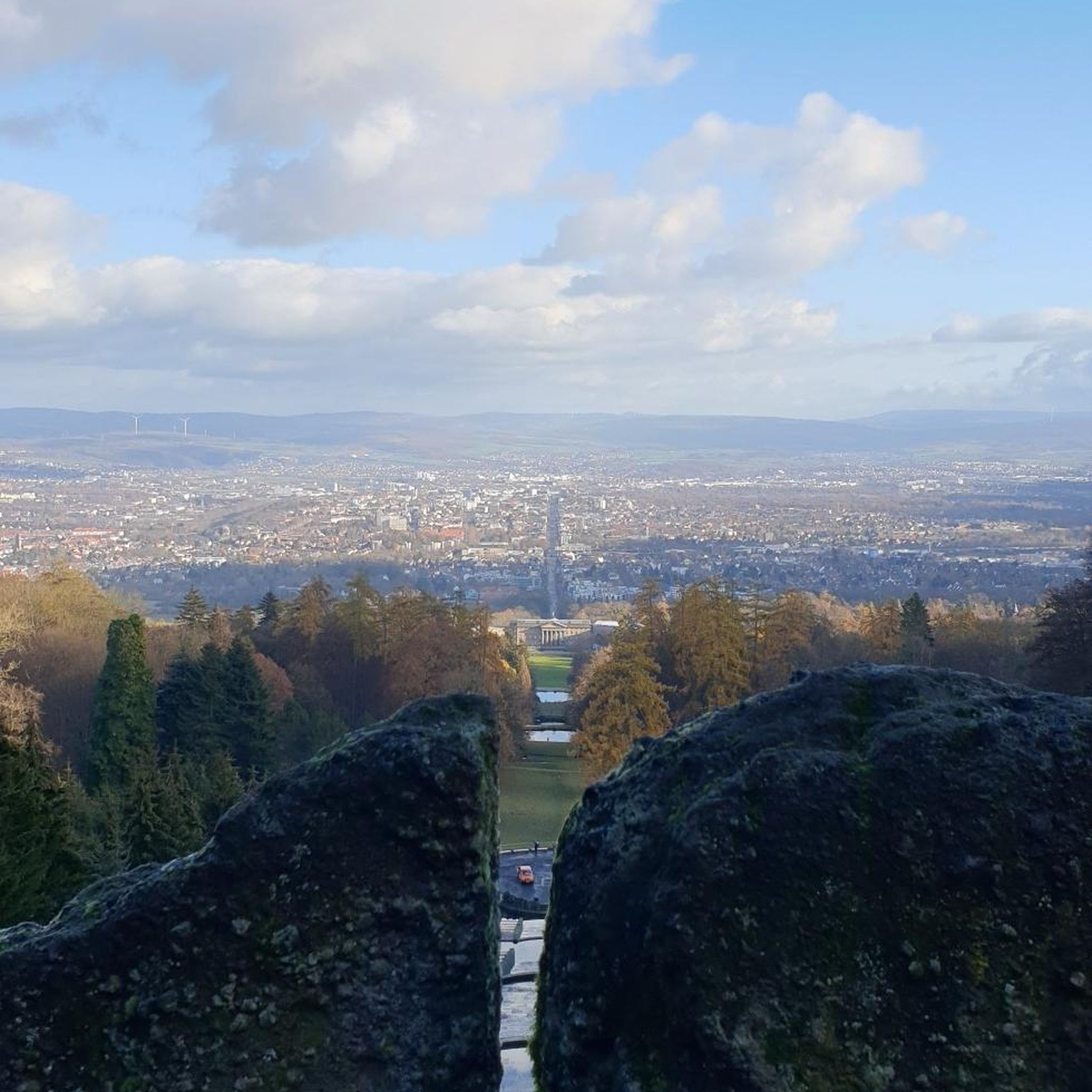
Nordy Bank Hillfort
Highlight • Viewpoint
Tip by
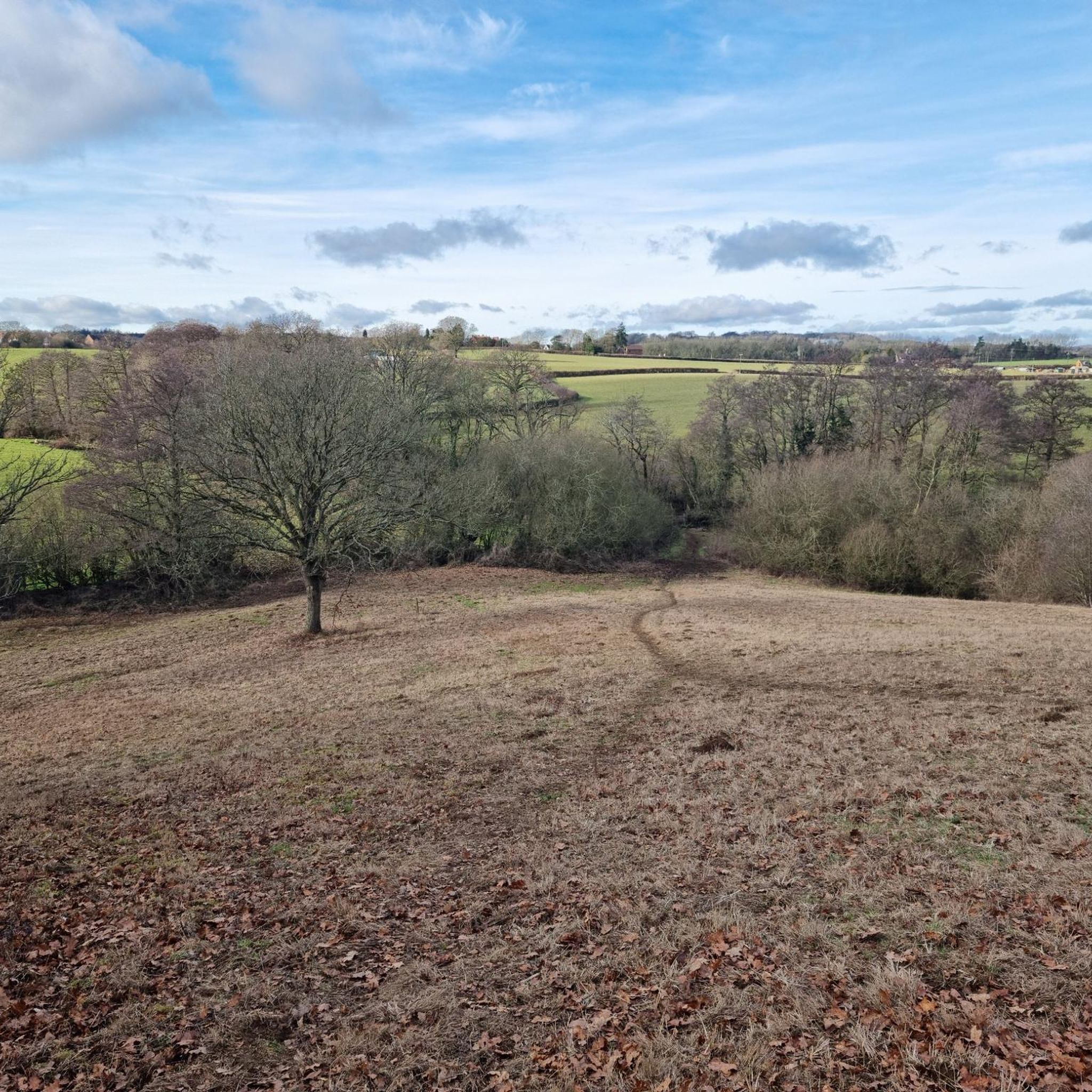
Boyne Water Lake
Highlight • Natural Monument
Tip by

Sign up for free to discover even more natural monuments around Farlow.
Sign up for free
Already have an account?
Start today with a free account
Your next adventure awaits.
Login or Signup
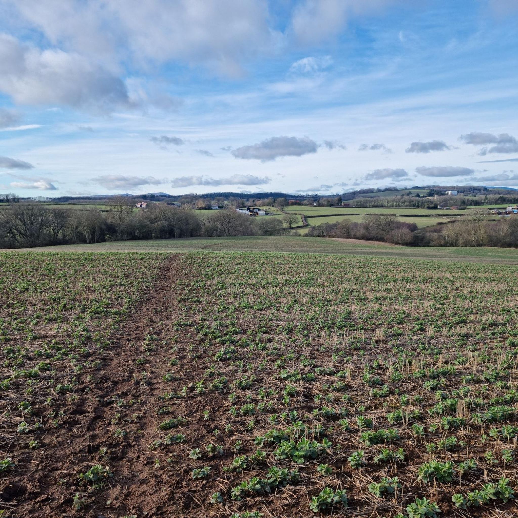
Tips from the Community

Nice route to the Clee Hills. Parking to the north as well at the excitingly named Cockshutford
0
0

There is the bracket of the original Trig Point cemented into the path that leads to the Toposcope.
0
0

The Wyre Forest Beaver enclosure is worth stopping at. Can't guarantee to see any but you never know 😁
0
0

Incredible 360 views all around. A great muddy descent from the top.
0
0

Discover this tranquil little lake tucked away in the Shropshire Hills. The lake makes a great picnic spot, or if you're feeling daring, a wild swimming spot, too.
1
0

Worcestershire Natural Flood Management (NFM) Project in the Wyre Forest. The aim of this project is to reduce flooding in the Dowles Brook catchment, by implementing at large number of small scale, natural interventions in upstream areas to help slow the flow of water and hold it back during times of high flows. These measures involve working on the tributaries of the Dowles Brook and could include things such as planting hedges, creating wetland areas. attenuation ponds, leaky dams, soll aeration and other land management techniques The intention is to slow the flood peak on the Dowdes so it does not coincide with the flood peak on the River Severn at Bewdley. Water moving at speed through the landscape is incredibly destructive and leads to erosion, soil loss and widespread damage, therefore slowing down the water has a wealth of positive impacts. It is the intention that many more features will be installed over the riext few years with the aim of slowing the flow throughout the catchment. If you would like more information, or are a landowner who is keen to get involved. please contact the NFM Project Officer al Worcestershire County Council. www.worcestershire.gov.uk/NFM Natural Flood Management - Leaky Dams Trees are sourced from the immediate stream side and used to build a lattice. Over time, especially in high flow, smaller woody debris accumulates naturally, and this increases the effectiveness of the leaky dam. The dars are wedged behind living tree stumps to prevent them moving or floating away, over time they bed in and naturalise as part of the landscape. Leaky dams work with nature, providing a food source and habitat for wildlife. This timber lattice allows wildlife, such as fish, to move freely upstream and downstream. Leaky dams are constructed to allow free passage of water in normal flows, and only hold water back when required during high rainfall. The backed up water is pushed out of the channel into appropriate sites upstream where silts are deposited. A single structure has little impact, but a series of leaky dams at various locations can help reduce the risk of flooding downstream. Felling by the river bank allows more sunlight to reach the watercourse and its banks. This leads to the growth of marginal vegetation, creating further food sources and habitats for wildlife.
0
0

Obviously not wild swim today, but a great spot to consider in the summer months, if wild swimming is your thing. https://myoutdoors.co.uk/adventure/dark-adventures-in-the-shropshire-hills-katy-goes-wild-swimming
0
0
Frequently Asked Questions
What are the most prominent natural monuments around Farlow?
The Farlow area is dominated by the Clee Hills. Key natural monuments include Abdon Burf Summit, which is the highest point in Shropshire, and Titterstone Clee Hill summit, the third-highest point, known for its radar dome and Iron Age hillfort. Another significant spot is Clee Burf, the second summit on Brown Clee Hill, offering extensive views.
Are there any historical sites among the natural monuments in Farlow?
Yes, several natural monuments in the Farlow area also boast significant historical features. Titterstone Clee Hill summit and Clee Burf both feature Iron Age hillforts. Additionally, Nordy Bank Hillfort is a well-preserved Iron Age site with obvious ramparts, offering wonderful views over the Shropshire countryside.
What kind of terrain and elevation can I expect when visiting natural monuments near Farlow?
The natural monuments around Farlow are characterized by their elevated terrain, primarily within the Clee Hills. You can expect significant climbs to summits like Abdon Burf (1,771 feet / 540 m) and Clee Burf (1,673 feet / 510 m). The landscape mostly consists of open heathland, with some forested areas and historical quarrying sites, providing varied walking surfaces.
Are there family-friendly natural monuments or activities around Farlow?
Yes, the Worcestershire Natural Flood Management Project – Leaky Dams in Wyre Forest is a family-friendly natural monument. It offers an educational experience about natural flood management techniques, with leaky dams that also provide habitat for wildlife. The Wyre Forest itself is a great place for families to explore.
What outdoor activities can I do near these natural monuments?
The area around Farlow is excellent for outdoor activities, especially hiking and mountain biking. You can find various routes, from easy to challenging. For hiking, explore options like the 'Titterstone Clee Hill summit loop' or longer routes like 'Titterstone Clee, Clee Burf & Brown Clee Hill'. Mountain bikers can enjoy trails such as the 'Nordy Bank Hillfort – Clee Burf loop'. You can find more details on these activities in the hiking guide and MTB trails guide for Farlow.
What are the best viewpoints in the Farlow area?
The natural monuments around Farlow are renowned for their expansive viewpoints. Abdon Burf Summit, the highest point in Shropshire, offers extensive views on clear days. Clee Burf provides fantastic views of the Shropshire Hills AONB, and Titterstone Clee Hill summit boasts amazing 360-degree views of the surrounding landscapes.
Are there easy hiking trails to reach some of Farlow's natural monuments?
Yes, there are easier options for exploring the natural monuments. For example, an 'easy' rated 'Titterstone Clee Hill summit loop' is available, which can be a good starting point for beginners. Many routes offer varying difficulty levels, allowing you to choose one that suits your experience. Check the easy hikes guide for Farlow for more options.
What is the best time to visit the natural monuments around Farlow?
The best time to visit often depends on the weather, as clear days are essential for enjoying the extensive views from the hill summits. While the landscape can be bleak, good weather allows for exceptional panoramic vistas. Spring and autumn generally offer pleasant conditions for hiking, but even in winter, the hills can be stunning if prepared for colder weather.
Where can I find parking for natural monuments like Nordy Bank Hillfort?
For Nordy Bank Hillfort, parking can be found to the south, at Stokegorse, or to the north at Cockshutford. For other natural monuments, parking availability can vary, so it's advisable to check specific access points or trailheads before your visit.
What unique natural features can be found in the Farlow region?
Beyond the prominent hill summits, the Farlow region is characterized by open heathland and some forested areas. A unique feature is the Worcestershire Natural Flood Management Project in the Wyre Forest, which showcases innovative 'leaky dams' designed to slow water flow and create new habitats. This project highlights the area's commitment to natural flood management and ecological preservation.
What do visitors enjoy most about the natural monuments around Farlow?
Visitors frequently highlight the spectacular panoramic views from the summits, especially on clear days. The blend of natural beauty with historical intrigue, such as Iron Age hillforts and ancient quarrying sites, is also a major draw. The opportunity for varied walks across open heathland and the sense of being at the highest points in Shropshire are often mentioned as key attractions.
Most popular attractions around Farlow

Get inspired with the komoot mobile app


Explore more
Extend your search for the best caves by checking out these guides of the top ones around Farlow:
