Lands Common To Hamsterley, Lynesack And Softley And South Bedburn
Lands Common To Hamsterley, Lynesack And Softley And South Bedburn
Top 5 Natural Monuments around Lands Common To Hamsterley, Lynesack And Softley And South Bedburn
Natural monuments around Lands Common To Hamsterley, Lynesack And Softley And South Bedburn are characterized by a diverse landscape in County Durham, England. The region features significant natural areas, including the vast Hamsterley Forest, and sites of ecological interest like disused quarries and natural water systems. Its position on the edge of the North Pennines contributes to varied terrain, from uplands to incised denes, offering a range of outdoor exploration opportunities. The area provides insights into both geological formations and…
Last updated: July 1, 2026
The Elephant Trees
Highlight • Viewpoint
Tip by

Bollihope Limestone Quarry
Highlight • Structure
Tip by

Sign up now to discover places like this
Get recommendations on the best single tracks, peaks, & plenty of other exciting outdoor places.
Sign up for free
Monks Moor Summit Trig Point
Highlight • Natural Monument
Tip by
Fine Burn Quarry (The Forgotten Quarry) – Weardale Way
Highlight • Natural
Tip by
Five Pikes Summit Trig Point
Highlight • Natural Monument
Tip by
Sign up for free to discover even more natural monuments around Lands Common To Hamsterley, Lynesack And Softley And South Bedburn.
Sign up for free
Already have an account?
Start today with a free account
Your next adventure awaits.
Login or Signup
Popular around Lands Common To Hamsterley, Lynesack And Softley And South Bedburn
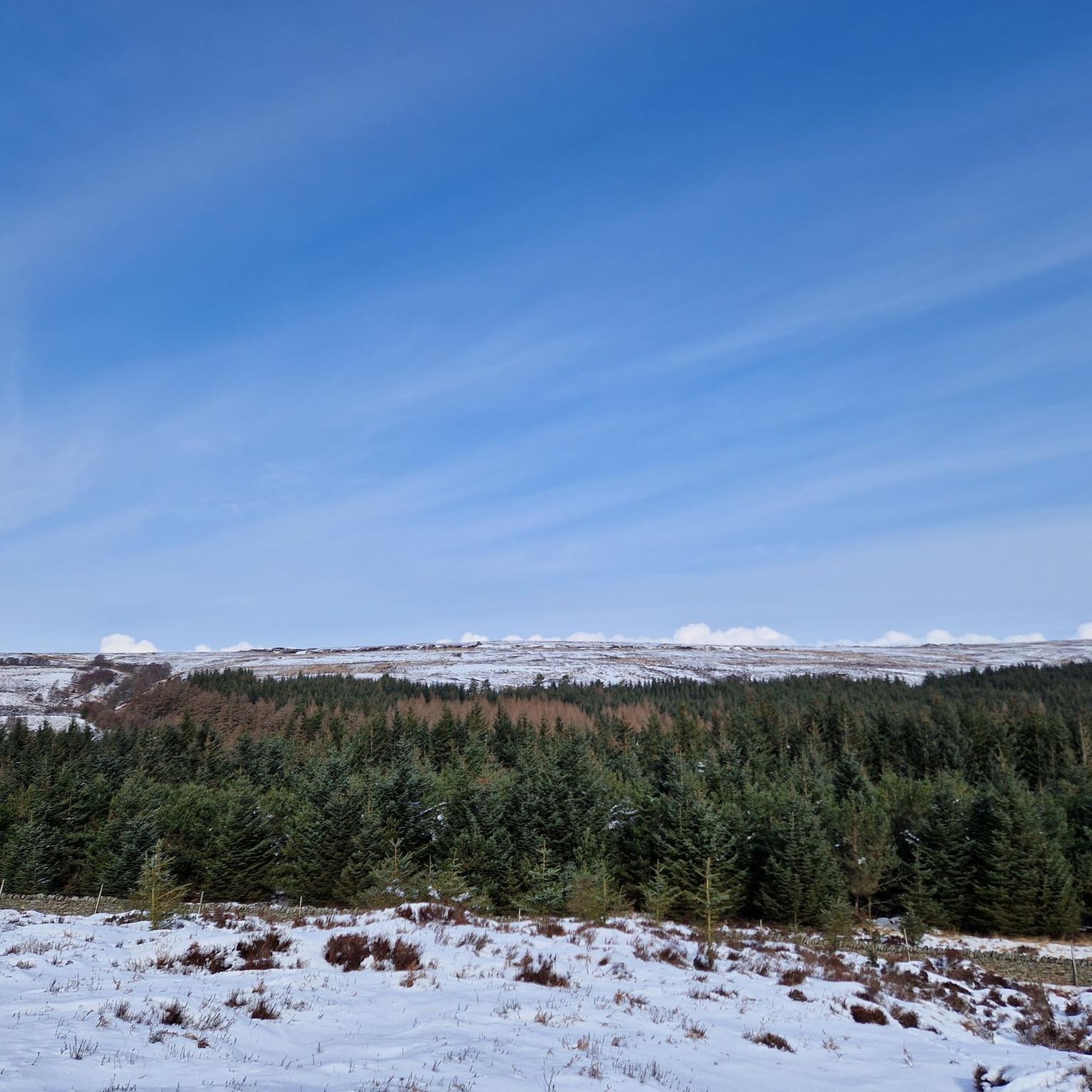
MTB Trails around Lands Common To Hamsterley, Lynesack And Softley And South Bedburn
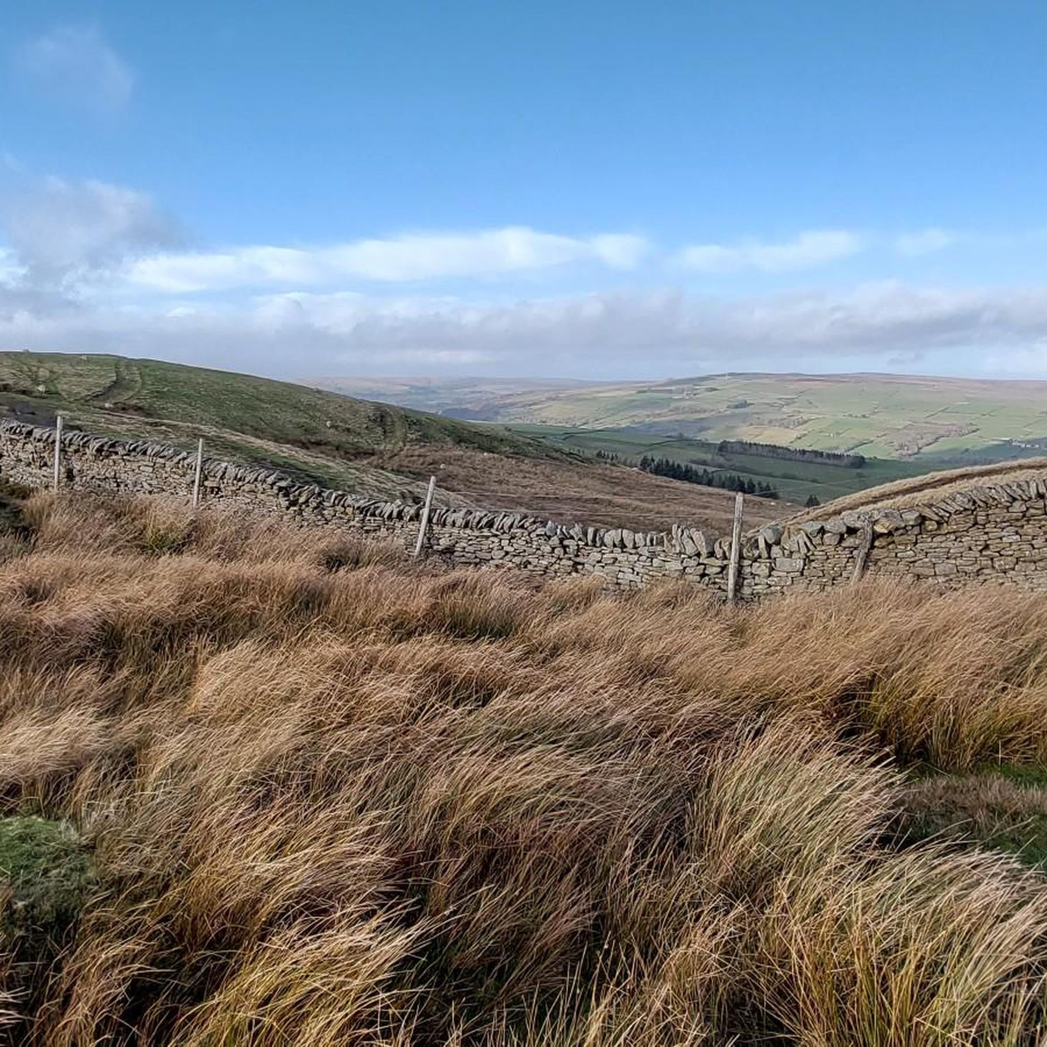
Running Trails around Lands Common To Hamsterley, Lynesack And Softley And South Bedburn
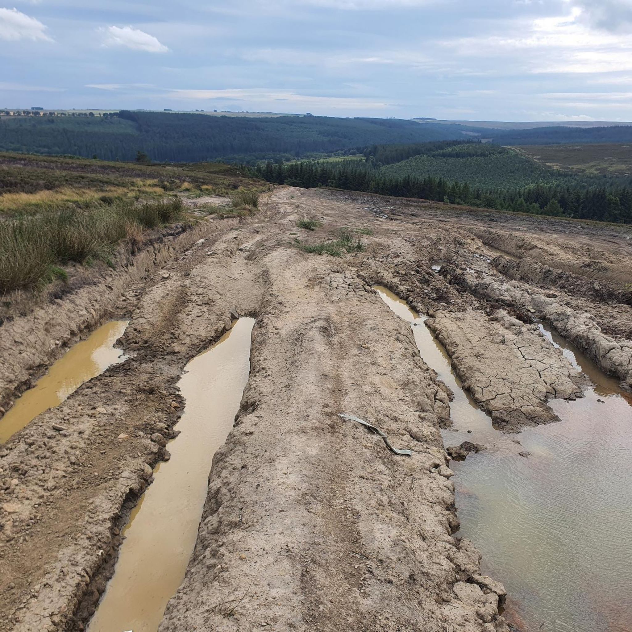
Hiking around Lands Common To Hamsterley, Lynesack And Softley And South Bedburn
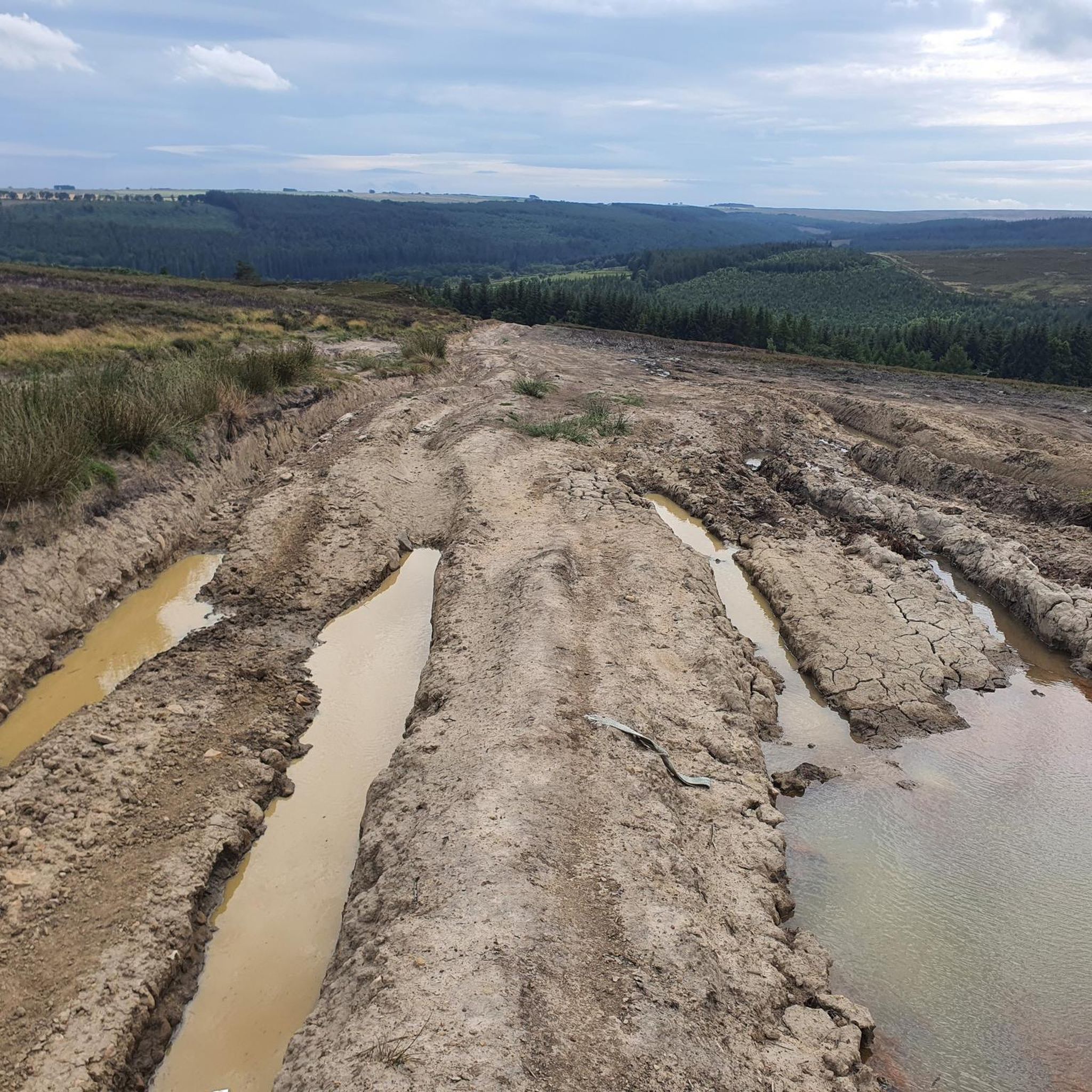
Cycling around Lands Common To Hamsterley, Lynesack And Softley And South Bedburn
Road Cycling Routes around Lands Common To Hamsterley, Lynesack And Softley And South Bedburn
Gravel biking around Lands Common To Hamsterley, Lynesack And Softley And South Bedburn
Tips from the Community

Above Weardale, between Frosterley and Wolsingham are a bunch of trees that are supposed to resemble an elephant. I think a few years ago, a storm caused damage to the trees and now a bit of imagination is needed.
1
0


The Forgotten Quarry (also known as Fine Burn Quarry) is a superb place for a walk during any season. This former limestone quarry forms a part of the Weardale Way, a long-distance footpath that follows the River Wear's journey from the Durham Dales to the North Sea, or vice versa. The path follows the course of a former railway track used to transport the mined limestone. Here, Bollihope Burn – a tributary of the River Wear, tumbles through woodland – creating a haven for wildlife.
0
0

With an altitude of 479 meters, although not very high, from this point, you can enjoy some great views of the moorland surrounding Weardale. What's more, you'll discover another trig point to conquer!
1
0
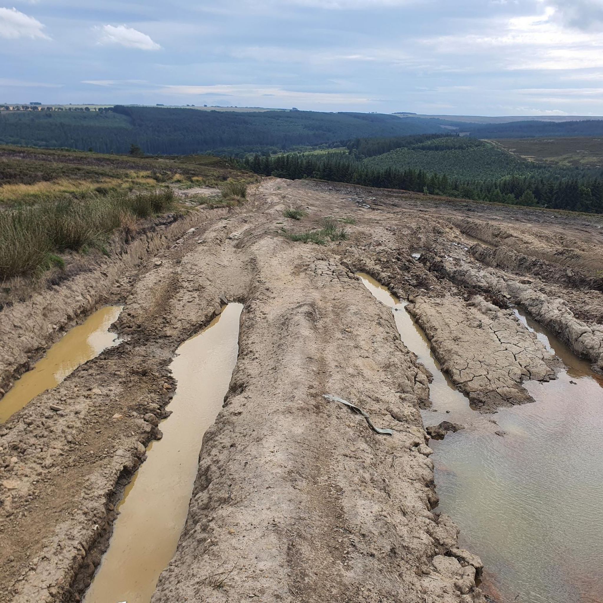
Just beside the Bollihope Burn, you can go alongside this disused limestone quarry. It is often partially flooded with water, adding to the beauty of this picturesque place.
1
0
A conspicuous sight up high on Pikeston Fell, the Elephant Trees are a beloved landmark in this part of the Durham Dales. This clutch of trees is so-called because it was said to resemble an elephant. However, gusty conditions have since brought a few of the trees down, altering the elephant's appearance.
1
0
Monks Moor is a broad hill above Teeside in the North Pennines AONB. It reaches 1,854 feet (565 m) above sea level and its summit is crowned by a trig point. The hill is characterised by remnants from the mining industry, rocky outcrops and is clad in heather, a delightful sight in autumn.
0
0
Frequently Asked Questions
What are some of the most popular natural monuments to visit in the area?
Visitors frequently enjoy Bollihope Limestone Quarry, a disused quarry often partially flooded, and The Elephant Trees on Pikeston Fell, known for their unique formation. Another popular spot is Monks Moor Summit Trig Point, offering views from 565 meters above sea level in the North Pennines AONB.
Are there family-friendly natural monuments around Lands Common To Hamsterley, Lynesack And Softley And South Bedburn?
Yes, several natural monuments are suitable for families. Bollihope Limestone Quarry and The Elephant Trees are both considered family-friendly. Additionally, Five Pikes Summit Trig Point and Fine Burn Quarry (The Forgotten Quarry) also welcome families.
What outdoor activities can I do near these natural monuments?
The region offers diverse outdoor activities. You can explore MTB trails, including routes in Hamsterley Forest like 'The Best of Hamsterley Forest loop'. For road cycling, consider routes such as 'Weardale–Teesdale Pass (B6278)'. There are also easy hikes like the 'Riverside Walk' or the 'Blackling Hole Waterfalls loop'.
Where can I find significant natural woodlands or forests in the area?
Hamsterley Forest is the largest forest in County Durham, spanning over 2000 hectares. It features ancient oak-birch woods in narrow denes and along watercourses, alongside conifer plantations. It's an excellent place for walking, cycling, and wildlife observation.
Are there any natural sites focused on wildlife conservation?
Yes, the Longburnford Quarry Nature Reserve is a small but important site managed for the conservation of the small pearl-bordered fritillary butterfly, County Durham's rarest butterfly. While direct access is restricted to protect its fragile habitat, you can observe butterflies from the roadside verge, where an interpretation panel provides information.
What unique geological features can be found in the region?
The area, situated on the edge of the North Pennines, features varied terrain including uplands, floodplains, and incised denes. Specific examples include the disused Bollihope Limestone Quarry, which is often partially flooded, and the rocky outcrops and heather-clad slopes of Monks Moor Summit Trig Point.
What is the best time of year to visit the natural monuments?
While many sites are enjoyable year-round, autumn is particularly delightful for places like Monks Moor Summit Trig Point, as its slopes are clad in heather, creating a beautiful sight.
Can I find historical natural features in the area?
Yes, Howle Beck and Howlea Bridge in South Bedburn offer a glimpse into the historical interaction with the natural environment. Howle Beck is a natural tributary, and Howlea Bridge, mentioned as 'Howl Eel Bridge' in a 1753 Inclosure Plan, signifies the long-standing human presence alongside these natural water systems.
Are there any dog-friendly natural monuments or trails?
Many natural areas in the region are dog-friendly. Specifically, The Elephant Trees, Bollihope Limestone Quarry, Five Pikes Summit Trig Point, and Fine Burn Quarry (The Forgotten Quarry) are all listed as dog-friendly.
What kind of views can I expect from the natural monuments?
The region offers diverse views. From Monks Moor Summit Trig Point, you can enjoy expansive vistas over Teeside and the North Pennines AONB. Five Pikes Summit Trig Point also provides great views of the moorland surrounding Weardale.
What is the 'Forgotten Quarry' and what makes it special?
The 'Forgotten Quarry', also known as Fine Burn Quarry, is a former limestone quarry that forms part of the Weardale Way. It's a superb place for walks, with the path following a former railway track. Bollihope Burn tumbles through woodland here, creating a haven for wildlife.
Most popular routes around Lands Common To Hamsterley, Lynesack And Softley And South Bedburn
Most popular attractions around Lands Common To Hamsterley, Lynesack And Softley And South Bedburn

Get inspired with the komoot mobile app


Explore more
Extend your search for the best caves by checking out these guides of the top ones around Lands Common To Hamsterley, Lynesack And Softley And South Bedburn:
