The 11 Most Amazing Peaks around Sarmenstorf
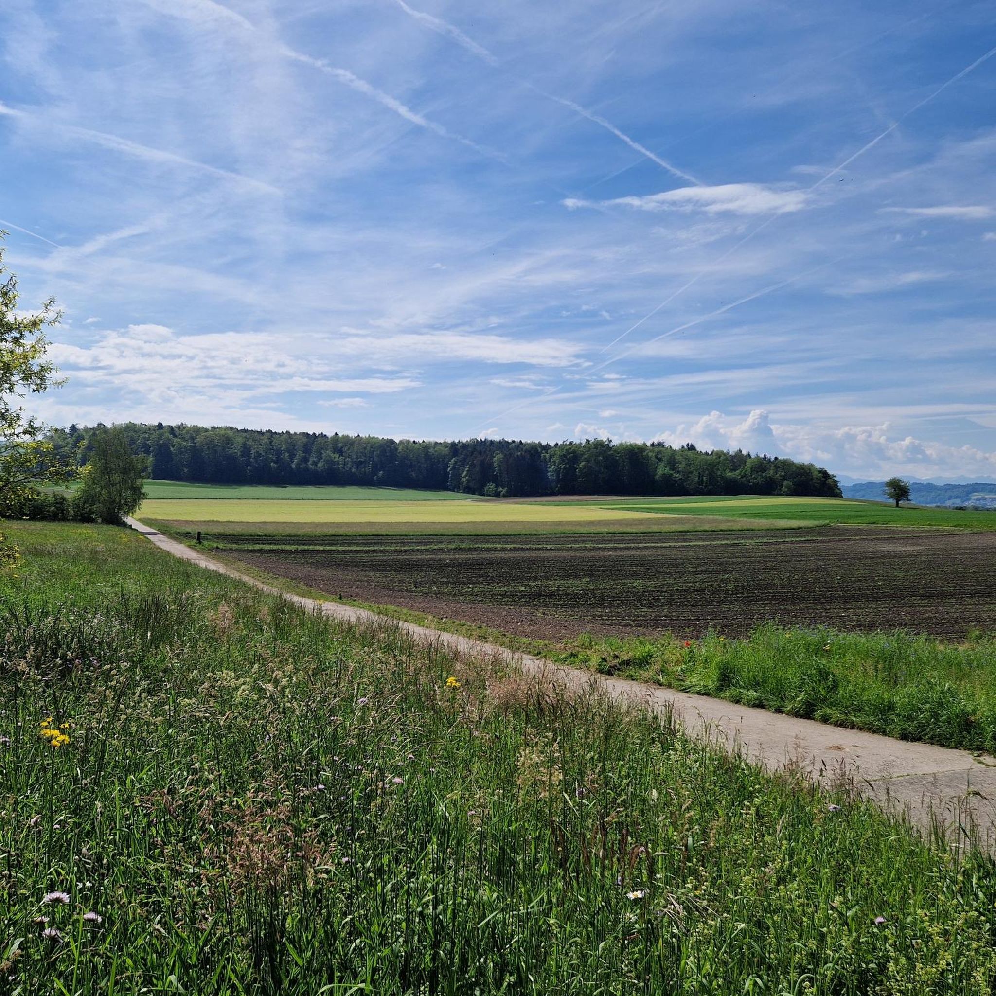
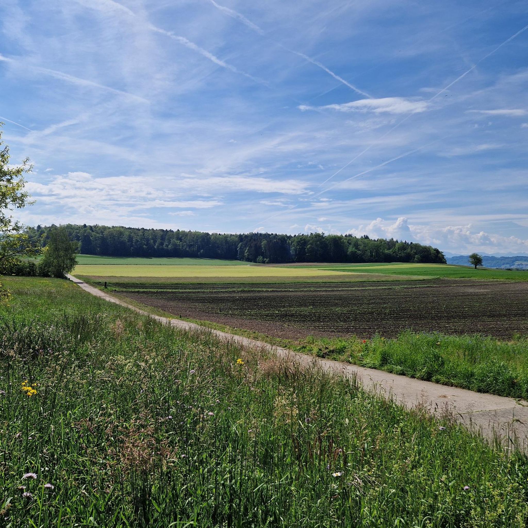
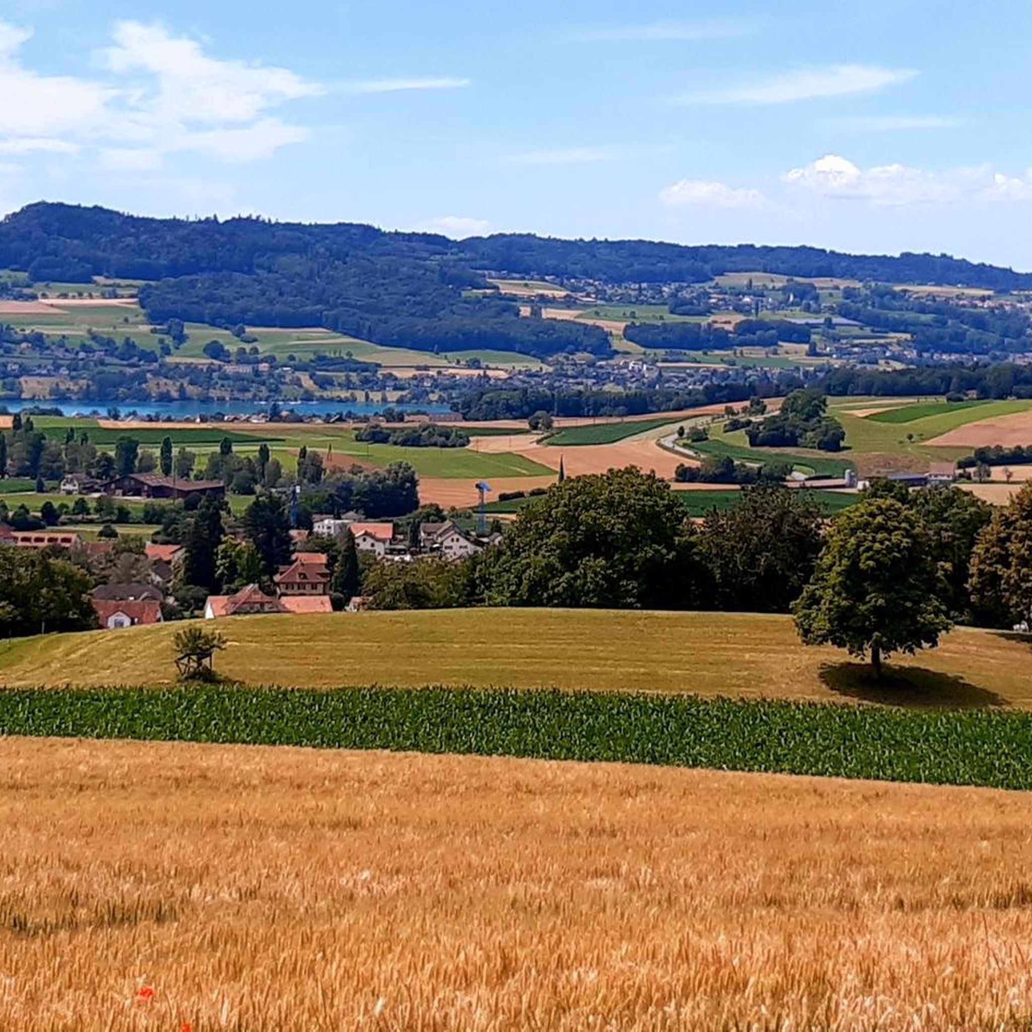
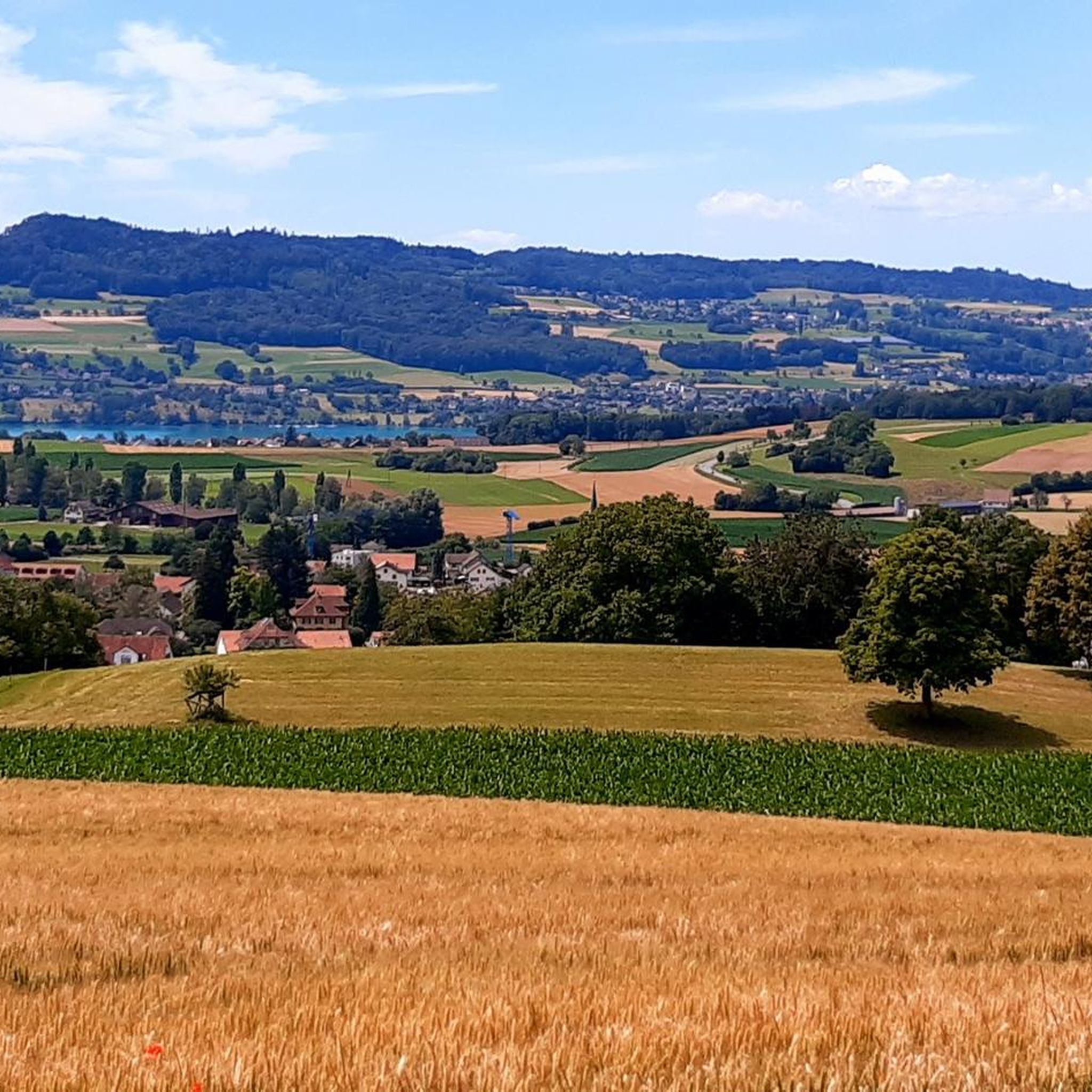
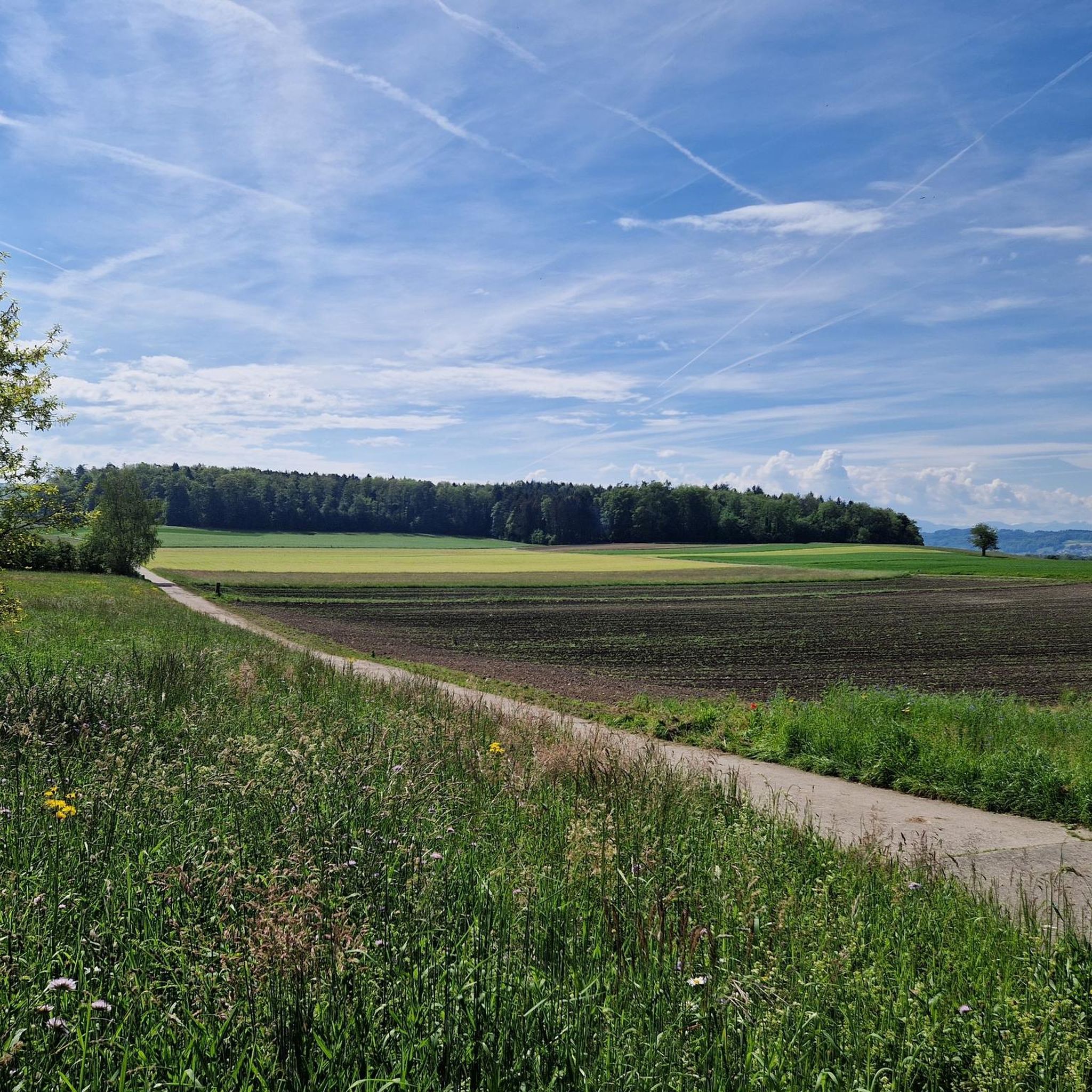
Best mountain peaks around Sarmenstorf are characterized by a hilly and undulating landscape, situated between the Bünztal and Seetal valleys. The area is bordered by the foothills of the Lindenberg to the southeast and the Rietenberg to the northwest, with elevations ranging from 497 meters to 707 meters above sea level. While not featuring towering peaks, Sarmenstorf offers elevated areas suitable for outdoor activities and provides scenic vistas. The region also holds historical significance, with various footpaths leading to archaeological…
Last updated: October 11, 2026
Highest point of the Lindenberg (878 m)
Highlight • Summit
Translated by Google •
Tip by

Siebenzwingstein Boundary Stone
Highlight • Monument
The border …
Showing Translation
Tip by

Sign up now to discover places like this
Get recommendations on the best single tracks, peaks, & plenty of other exciting outdoor places.
Seerose Hotel & Restaurant
Highlight • Restaurant
Translated by Google •
Tip by

Mosen Railway Station
Highlight • Rest Area
Translated by Google •
Tip by

Stiefeliryter Inn and Open-Air Museum, Hämikerberg
Highlight • Restaurant
Translated by Google •
Tip by

Sign up for free to discover even more peaks around Sarmenstorf.
Already have an account?
Start today with a free account
Your next adventure awaits.

Tips from the Community

Inconspicuous and without view, easily accessible on simple forest paths
1
0

Lindeberg Trail, the easy access, it was worth the effort.
1
0
Top of Lindenberg is a must for an AG biker to climb at least once a year
2
0

The ideal starting and ending point for circumnavigating the lake. Large parking lot available, including a swimming pool if you feel like it.
1
0

Alpine views and little traffic on side roads
1
0
Always nice to visit Top of Lindenberg
1
1

Ideal starting point for many activities in the Hallwilersee/Baldeggersee region. E.g. excursion to Beinwil, access to the Freiämterweg, scheduled boat Hallwilersee...
0
0

Very easy (to climb) the highest point
3
0
Frequently Asked Questions
What kind of landscape characterizes the elevated areas around Sarmenstorf?
The region around Sarmenstorf features a hilly and undulating landscape, situated between the Bünztal and Seetal valleys. While it doesn't have towering peaks, its elevated areas, particularly towards the Lindenberg foothills, offer diverse terrain for outdoor activities and provide scenic vistas.
What are some notable elevated points or landmarks to visit near Sarmenstorf?
You can explore several interesting spots. The Highest Point of Lindenberg (681 m) is a popular summit for easy bike and bicycle tours. Another significant landmark is the Siebenzwingstein Boundary Stone, an interlocked granite monument marking the border of three municipalities and districts at 607 m above sea level. Additionally, the Seerose Hotel & Restaurant, located directly on Lake Hallwil, offers a relaxing spot with a 'summit' category for its elevated experience.
Are there historical sites or cultural attractions in the elevated areas of Sarmenstorf?
Yes, the hilly terrain of Sarmenstorf is rich in historical significance. You can find archaeological and historical sites like a Neolithic burial mound at Zigiholz and the medieval fort Heidenhübel. The 'Sarmenstorf history trail' is an 8.2 km route that guides visitors through important historical locations. The Siebenzwingstein Boundary Stone is also a historical marker.
What outdoor activities can I do near the elevated points of Sarmenstorf?
The region is well-suited for hiking and cycling. You can find numerous trails for both activities. For mountain biking, consider routes like the 'Titi Stone loop' or the 'Highest Point of Lindenberg loop'. Cycling options include the 'Lake Hallwil – Hallwyl Castle loop'. For more details on routes, check out the MTB Trails around Sarmenstorf or Cycling around Sarmenstorf guides.
Are there family-friendly options for exploring the elevated areas around Sarmenstorf?
Absolutely. The Highest Point of Lindenberg (681 m) is considered family-friendly and ideal for easy bike tours. The 'Sarmenstorf history trail' is an easy 8.2 km route suitable for families. Additionally, the Seerose Hotel & Restaurant and the Stiefeliryter Inn and Open-Air Museum, Hämikerberg are also family-friendly spots.
What are the best viewpoints around Sarmenstorf?
The elevated positions within the Lindenberg foothills offer panoramic views of the surrounding valleys, including the Bünztal and Seetal, and potentially glimpses of Lake Hallwil. The Highest Point of Lindenberg (681 m) is specifically noted as a viewpoint.
Where can I find places to eat or stay near the elevated areas of Sarmenstorf?
For dining and relaxation, the Seerose Hotel & Restaurant is located directly on Lake Hallwil and features a beautiful garden. Another option is the Stiefeliryter Inn and Open-Air Museum, Hämikerberg, which combines a restaurant with a cultural center.
How can I access the trails and elevated points using public transport?
While specific public transport details for every trail aren't provided, the Mosen Railway Station is a good starting point for exploring the Lake Hallwil area, which is close to Sarmenstorf's elevated regions. From here, you can reach many destinations, including routes around the lake.
What is the best time of year to visit Sarmenstorf for outdoor activities?
The region is well-suited for hiking and cycling, implying that spring, summer, and early autumn are ideal for exploring the trails and enjoying the scenic views. During these seasons, the weather is generally favorable for outdoor activities.
What do visitors enjoy most about the elevated areas around Sarmenstorf?
Visitors appreciate the diverse landscape, the opportunities for easy bike and bicycle tours, and the historical significance of the area. The Highest Point of Lindenberg (681 m) is particularly popular among bikers. The region's blend of nature, history, and recreational activities makes it a cherished destination, with over 380 upvotes and 110 photos shared by the komoot community.
Are there any long-distance hiking trails that pass through the Sarmenstorf region?
Yes, the longer Freiämterweg, a nature and cultural hiking trail, spans over 190 kilometers through the wider Freiamt region, offering extensive exploration of impressive landscapes that include Sarmenstorf's elevated areas.
Most popular routes around Sarmenstorf
Most popular attractions around Sarmenstorf

Get inspired with the komoot mobile app


Explore more
See even more amazing summits around Sarmenstorf with these guides:
