Top 5 Mountain Passes around gmina Jeżów Sudecki
Best mountain passes around gmina Jeżów Sudecki are situated within the Kaczawskie Mountains, a region known for its geological features and natural attractions. This area offers a variety of elevated points and passes, providing access to trails and panoramic views. The landscape is characterized by its unique geology, often referred to as the "Land of Extinct Volcanoes." Visitors can explore diverse terrain, from gentle forest paths to more challenging ascents.
Best mountain passes around gmina Jeżów Sudecki
- The most popular…
Last updated: June 29, 2026
Shoe Tree at Komarnicka Pass
Highlight • Monument
Translated by Google •
Tip by

Karkonoska Pass from Podgórzyn via Borowice
Highlight (Segment) • Mountain Pass
Translated by Google •
Tip by

Sign up now to discover places like this
Get recommendations on the best single tracks, peaks, & plenty of other exciting outdoor places.
Sign up for free
Zimna Przełęcz
Highlight • Mountain Pass
Translated by Google •
Tip by

Pod Świerkami Pass
Highlight • Parking
Translated by Google •
Tip by

Climb to Karpnicka Pass from Karpniki
Highlight (Segment) • Mountain Pass
Translated by Google •
Tip by

Sign up for free to discover even more mountain passes around gmina Jeżów Sudecki.
Sign up for free
Already have an account?
Start today with a free account
Your next adventure awaits.
Login or Signup
Popular around gmina Jeżów Sudecki
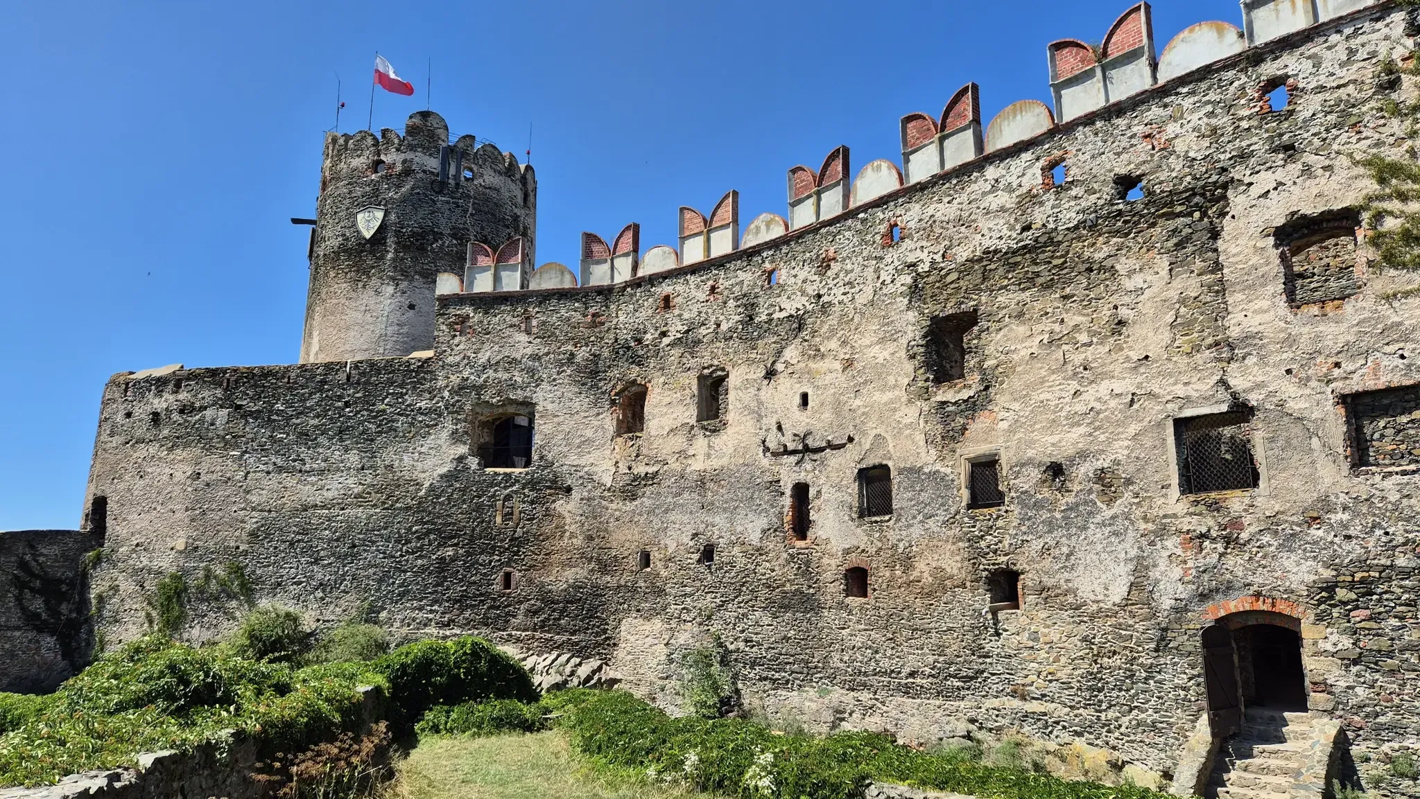
Piast Castles Trail – Great strongholds of Sudety
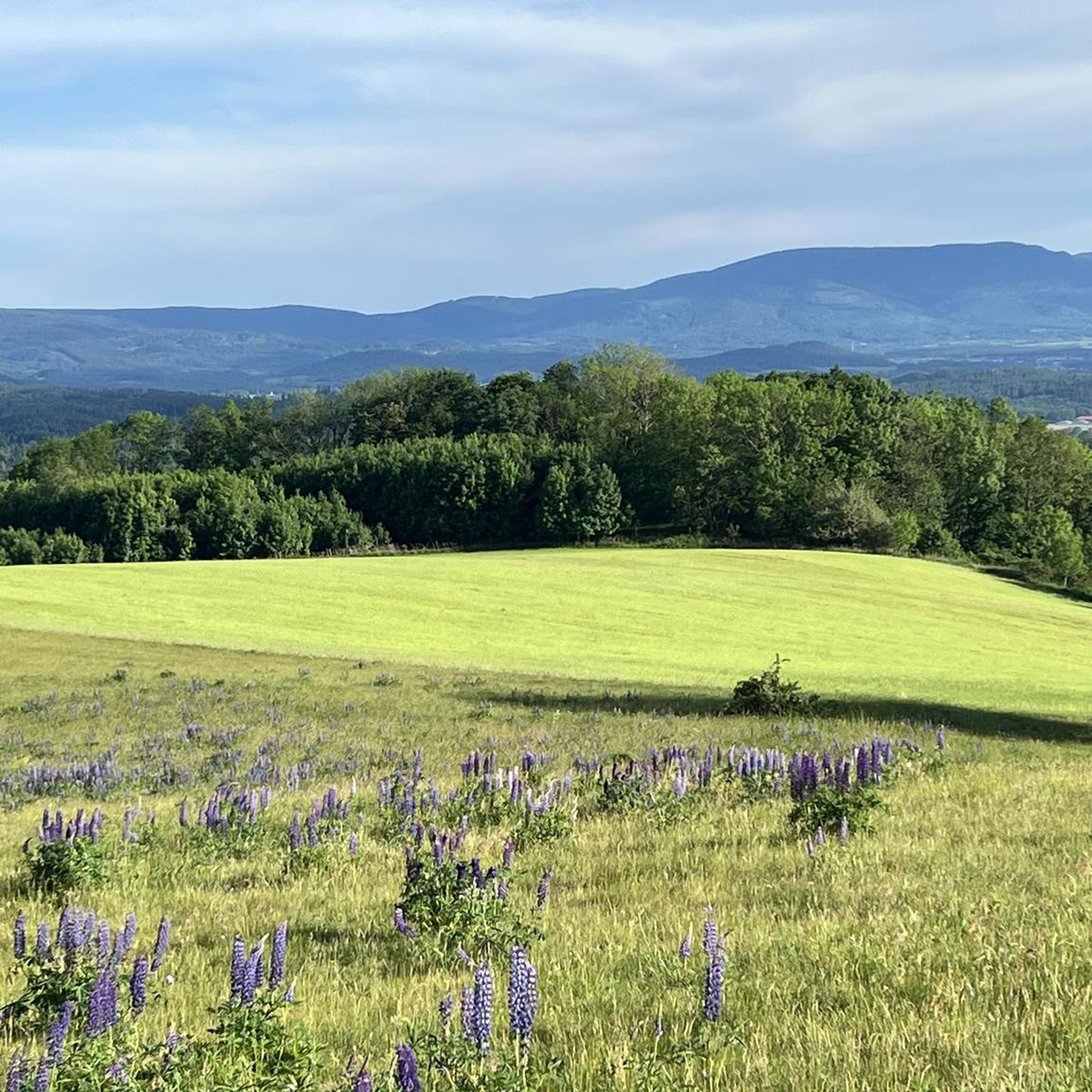
Road Cycling Routes around gmina Jeżów Sudecki
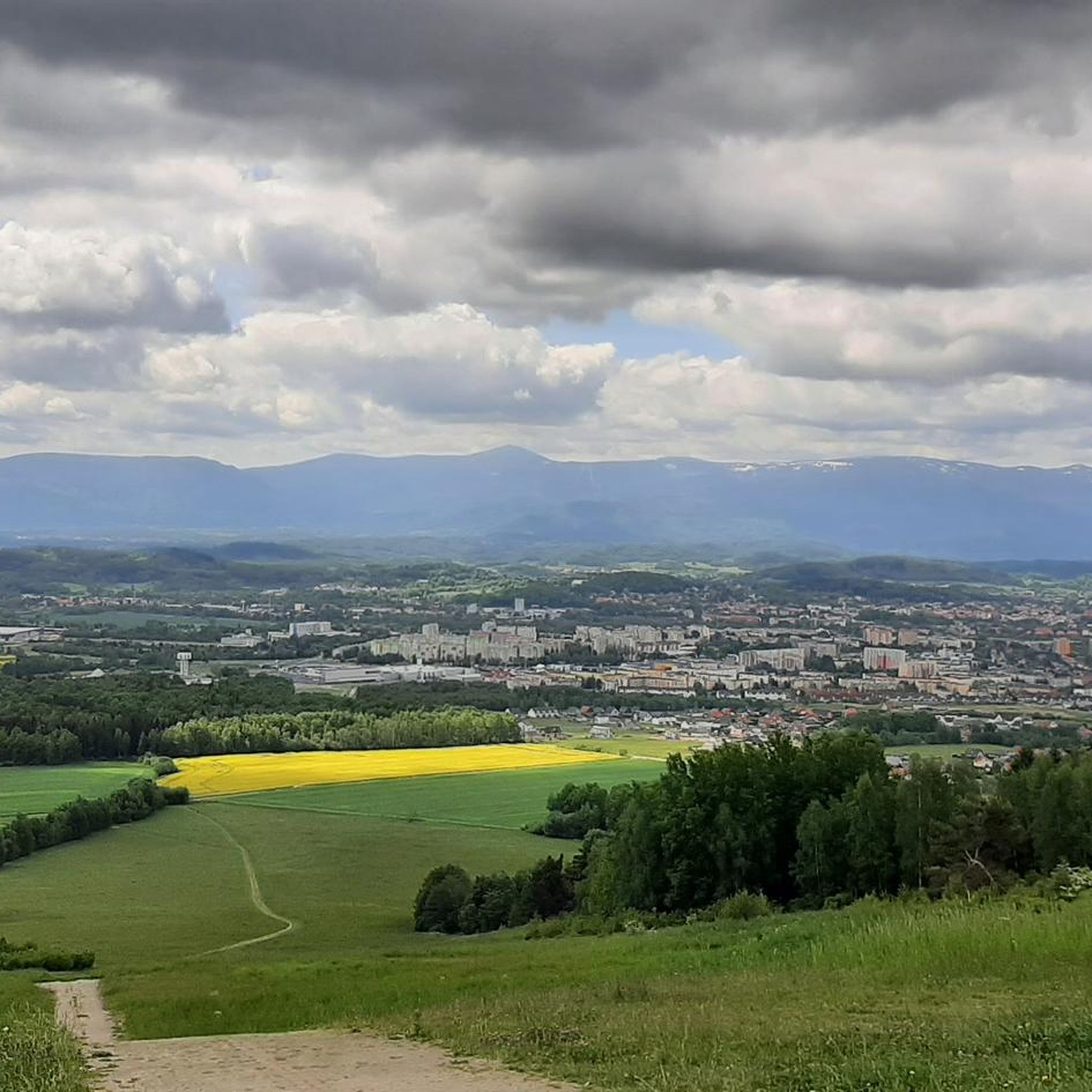
Hiking around gmina Jeżów Sudecki
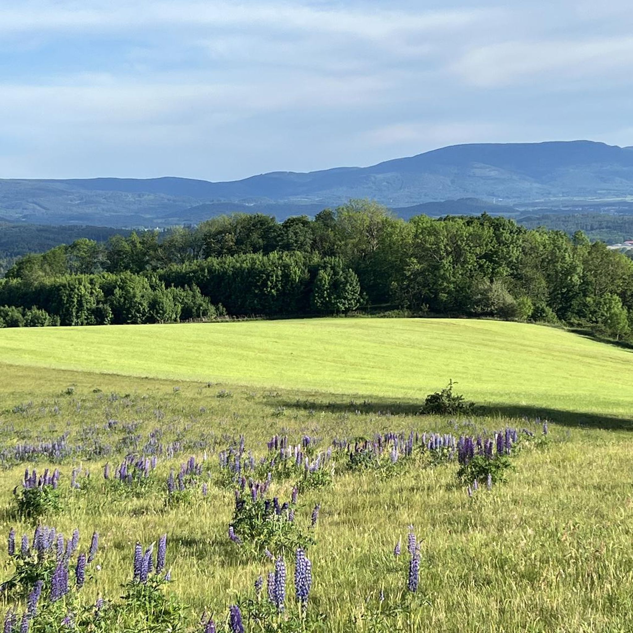
MTB Trails around gmina Jeżów Sudecki
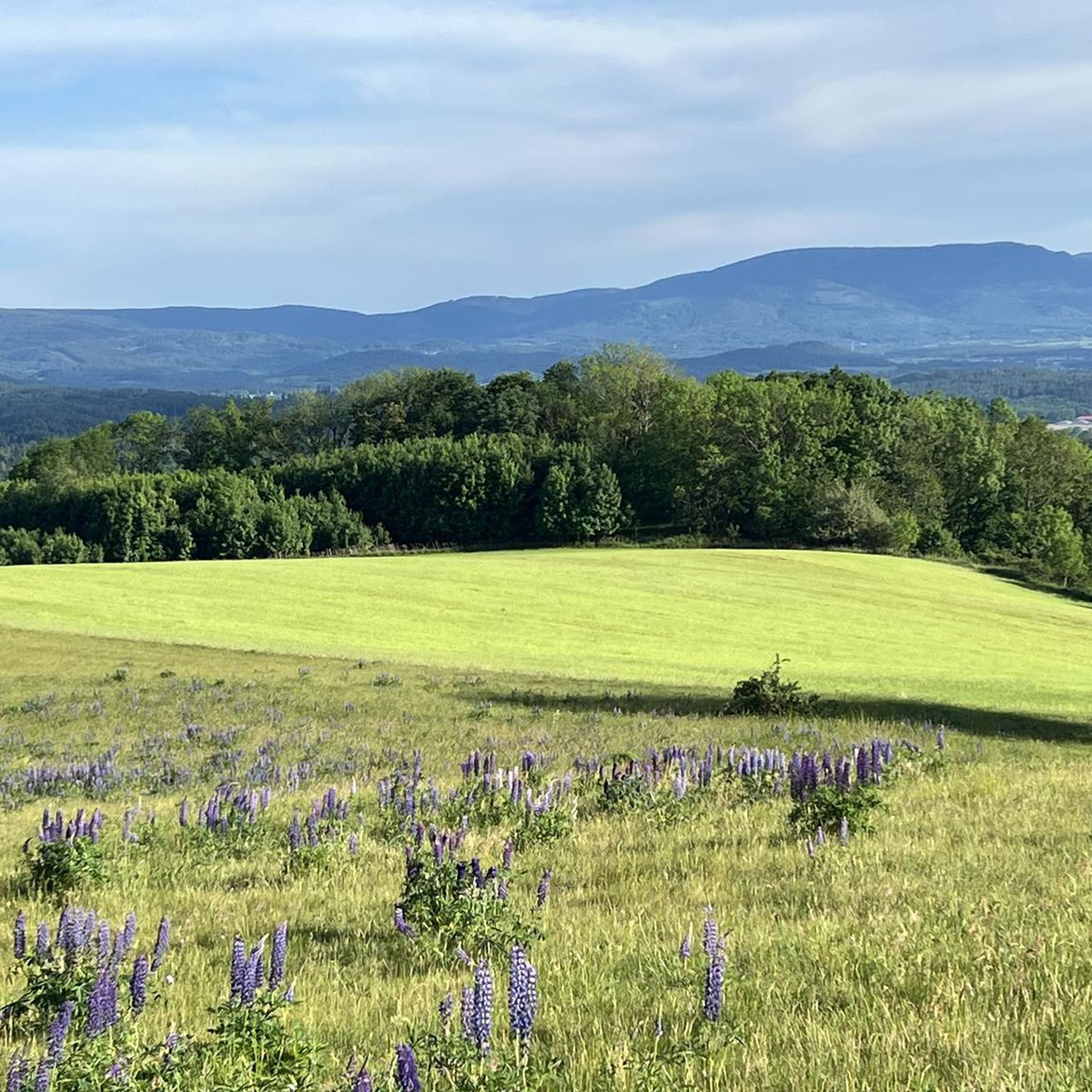
Cycling around gmina Jeżów Sudecki
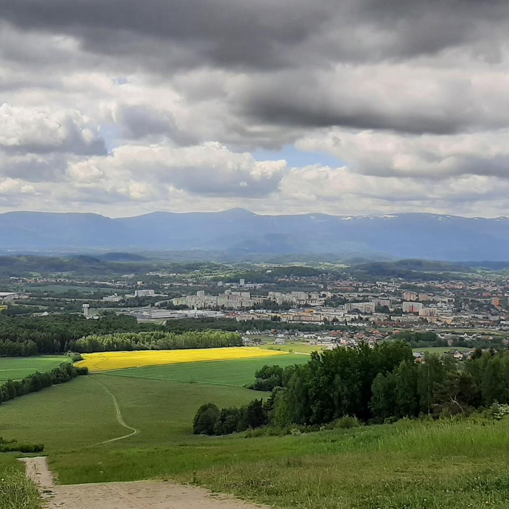
Running Trails around gmina Jeżów Sudecki

Gravel biking around gmina Jeżów Sudecki
Mountain Hikes around gmina Jeżów Sudecki
Other adventures around gmina Jeżów Sudecki

Tips from the Community

You have to be careful on the road, because there are gutters and the descent is dangerous, it is better to go to the Czech Republic.
2
0

Zimna Przełęcz is a wide saddle in the Jizera Mountains, separating the Kamienicki Ridge from the Izera Foothills. The pass is crossed by a road from Sobieszów, through Piechowice to Stara Kamienica. Zimna Przełęcz is a junction of roads and is located at an altitude of 527 m above sea level. A popular tourist route leads from Rozdroże Izerskie through Zimna Przełęcz, Bobrowe Skały and Babia Przełęcz.
0
0

Parking is large and free.
1
0

The ascent to Przełęcz Karpnicka from the Karpniki side is 1.3 km long and 80 m of elevation, with an average gradient of 6.3% and parts up to 9%. The asphalt is of fairly good quality.
1
0
One of the variants of the ascent from Podgórzyn to Przełęcz Karkonoska. The road through Borowice is longer than through Przesieka, it is 12.5 kilometres long, and the elevation gain is 840 m. The average gradient is 6.8%, reaching 20% towards the end. Przełęcz Karkonoska is located at an altitude of 1,198 metres. In the second part of the ascent, the surface is not in very good condition, so it is worth considering a descent to the Czech side.
1
0

Shoe Tree, Komarnicka Pass Komarnicka Pass in the Kaczawskie Mountains. According to information obtained online, this is "Into the Blue," a work by local artist Magdalena Osak created in 2013 on a withered cherry tree, on which painted shoes were placed, reaching for the sky. Currently, the work has a different shape; a second one has been added to it, and tourists often leave and hang their own. The idea is quite attractive and interesting.
1
0

The crossroads is marked with a distinctive tree trunk.
12
0

The starting point for Skopiec, Baraniec or Folwarczna.
0
0
Frequently Asked Questions
What are some unique mountain passes to visit around gmina Jeżów Sudecki?
One unique spot is the Shoe Tree at Komarnicka Pass, a man-made monument at 662 m above sea level. It features hiking boots suspended on a tree, with tourists often adding their own. This distinctive structure is a work by local artist Magdalena Osak, originally created in 2013.
Are there challenging mountain passes for experienced hikers or cyclists?
Yes, for a challenging experience, consider the Karkonoska Pass from Podgórzyn via Borowice. This route involves a 12.5 km ascent with an elevation gain of 840 m, reaching an altitude of 1,198 m. Be aware that the surface in the latter part of the ascent may not be in the best condition, and the descent can be dangerous due to gutters.
What kind of views can I expect from the mountain passes in the region?
Many passes offer stunning panoramic views. For instance, Komarnicka Pass – View of the Jeleniogórska Valley provides excellent vistas of the surrounding landscape. Additionally, Góra Szybowcowa, while not a traditional pass, offers breathtaking panoramic views of the Karkonosze Mountains, Rudawy Janowickie, Izerskie Mountains, and the Jelenia Góra Valley, especially during spring and autumn inversions.
Are there any family-friendly mountain passes or easy trails?
Yes, the Shoe Tree at Komarnicka Pass is categorized as family-friendly. Also, Pod Świerkami Pass (Przełęcz pod Świerkami) in the Kaczawskie Mountains is ideal for hikers looking for accessible and enjoyable routes. It features an easy 3.29 km loop through the Kaczawskie Forest, suitable for various fitness levels.
What outdoor activities can I do near these mountain passes?
The region offers a variety of outdoor activities. You can find numerous road cycling routes, such as the 'View from Góra Szybowcowa – Jelenia Góra Market Square loop'. For general cycling, explore routes like 'Pilchowicka Dam – Pilchowice Dam loop'. Gravel biking is also popular, with options like 'Lomnica Palace – Wojanów Palace loop'. You can find more details on these and other routes in the respective guides for Road Cycling, Cycling, and Gravel Biking around gmina Jeżów Sudecki.
What is the best time to visit the mountain passes in gmina Jeżów Sudecki?
The Kaczawskie Mountains, where many of these passes are located, are beautiful year-round. Spring and autumn are particularly recommended for scenic views, especially from elevated points like Góra Szybowcowa, when atmospheric inversions can create stunning cloudscapes below snow-capped peaks. Summer offers pleasant hiking conditions, while winter provides opportunities for snow-covered landscapes, though some routes might be more challenging.
Are there any mountain passes suitable for intermediate cyclists?
Yes, the Climb to Karpnicka Pass from Karpniki is an intermediate mountain pass and climb. The ascent is 1.3 km long with 80 m of elevation gain, featuring an average gradient of 6.3% and parts up to 9%. The asphalt quality is generally good.
What is the geological significance of the region around gmina Jeżów Sudecki?
The Kaczawskie Mountains, which encompass gmina Jeżów Sudecki, are often referred to as the 'Land of Extinct Volcanoes.' This highlights the region's unique geological history, characterized by diverse terrain and features resulting from ancient volcanic activity.
Can I find mountain passes that are also important junctions for other routes?
Yes, Zimna Przełęcz is a notable example. This wide saddle in the Jizera Mountains, located at 527 m above sea level, serves as a junction for roads and a popular tourist route leading from Rozdroże Izerskie through Zimna Przełęcz, Bobrowe Skały, and Babia Przełęcz.
What makes Góra Szybowcowa a significant location, even if it's not a traditional pass?
Góra Szybowcowa (Glider Mountain) is highly significant due to its rich aviation history, being one of the world's best gliding centers in the 1920s and 1930s. Today, it remains active with the Aeroklub Jeleniogórski. Beyond its historical and aviation importance, it offers unparalleled panoramic views of the surrounding mountain ranges and the Jelenia Góra Valley, making it a prime viewpoint.
Is Góra Szybowcowa easily accessible?
Yes, Góra Szybowcowa is easily accessible by car, making it a convenient destination for families and those with limited mobility. There's also a pedestrian route from Jelenia Góra's Zabobrze that takes about an hour, offering a pleasant walk to the summit.
What kind of infrastructure can I find at Góra Szybowcowa?
At the summit of Góra Szybowcowa, visitors will find an airfield, a hangar, the Gallery of Aviation Fame, a restaurant, and a hotel. This infrastructure supports both its active aviation community and provides amenities for tourists enjoying the views and history.
Most popular routes around gmina Jeżów Sudecki
Most popular attractions around gmina Jeżów Sudecki

Get inspired with the komoot mobile app


Explore more
See even more epic mountain passes by checking out these guides around gmina Jeżów Sudecki:
