The 11 Most Amazing Peaks around Menziken
Best mountain peaks around Menziken are characterized by elevated points and hills that offer recreational opportunities and scenic views. The region features a hilly landscape with notable summits such as the Lindenberg and Stierenberg. These areas provide diverse scenery for outdoor activities. The natural landscape includes numerous springs and forested areas, contributing to the region's appeal for hikers and bikers.
Best mountain peaks around Menziken
- The most popular mountain peaks is Highest Point of Lindenberg (681 m), a summit…
Last updated: May 9, 2026
Highest point of the Lindenberg (878 m)
Highlight • Summit
Translated by Google •
Tip by

Seerose Hotel & Restaurant
Highlight • Restaurant
Translated by Google •
Tip by

Sign up now to discover places like this
Get recommendations on the best single tracks, peaks, & plenty of other exciting outdoor places.
Sign up for free
Mosen Railway Station
Highlight • Rest Area
Translated by Google •
Tip by

Stiefeliryter Inn and Open-Air Museum, Hämikerberg
Highlight • Restaurant
Translated by Google •
Tip by

Stierenberg Summit
Highlight • Summit
The Stierenberg is the highest mountain in the whole of the Canton of Aargau (872 m above sea level).
Translated by Google •
Tip by
Sign up for free to discover even more peaks around Menziken.
Sign up for free
Already have an account?
Start today with a free account
Your next adventure awaits.
Login or Signup
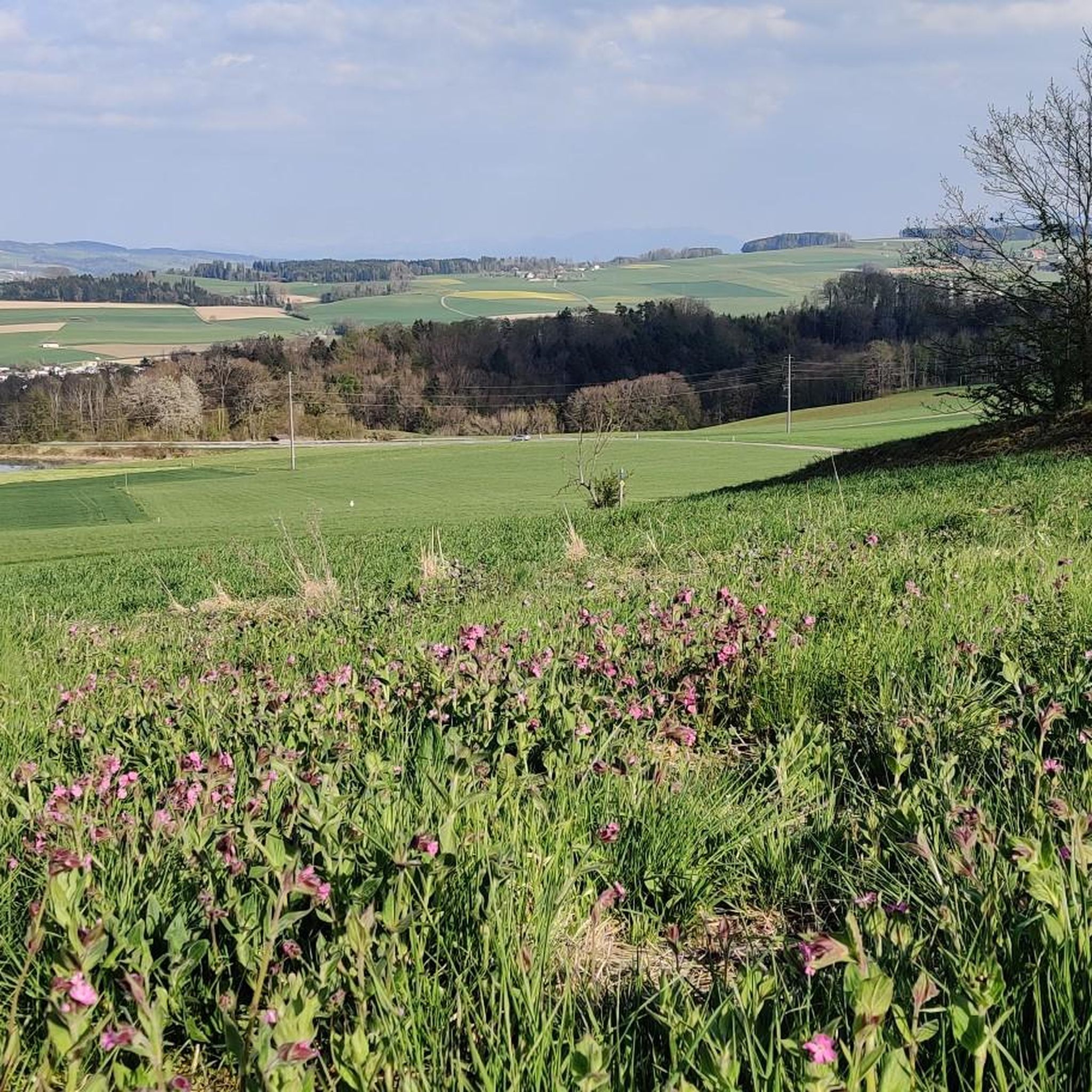
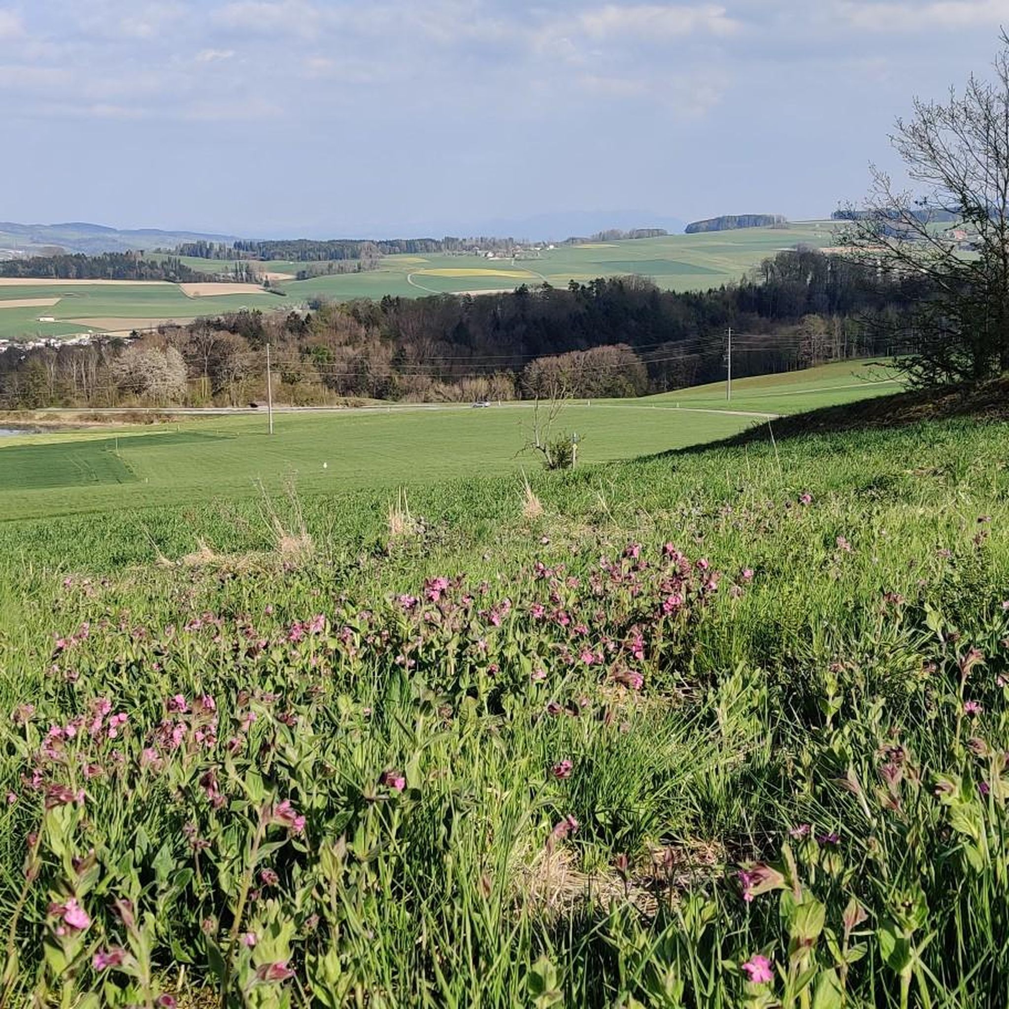
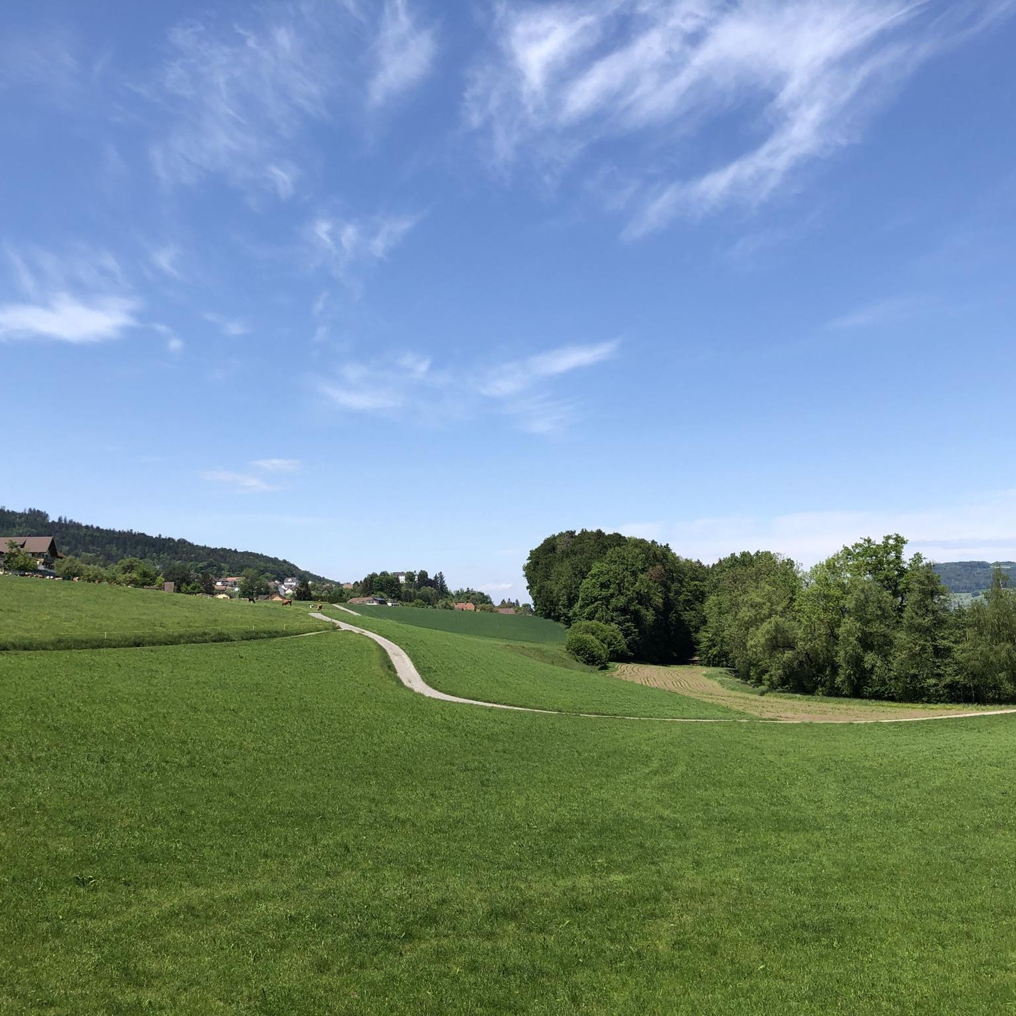
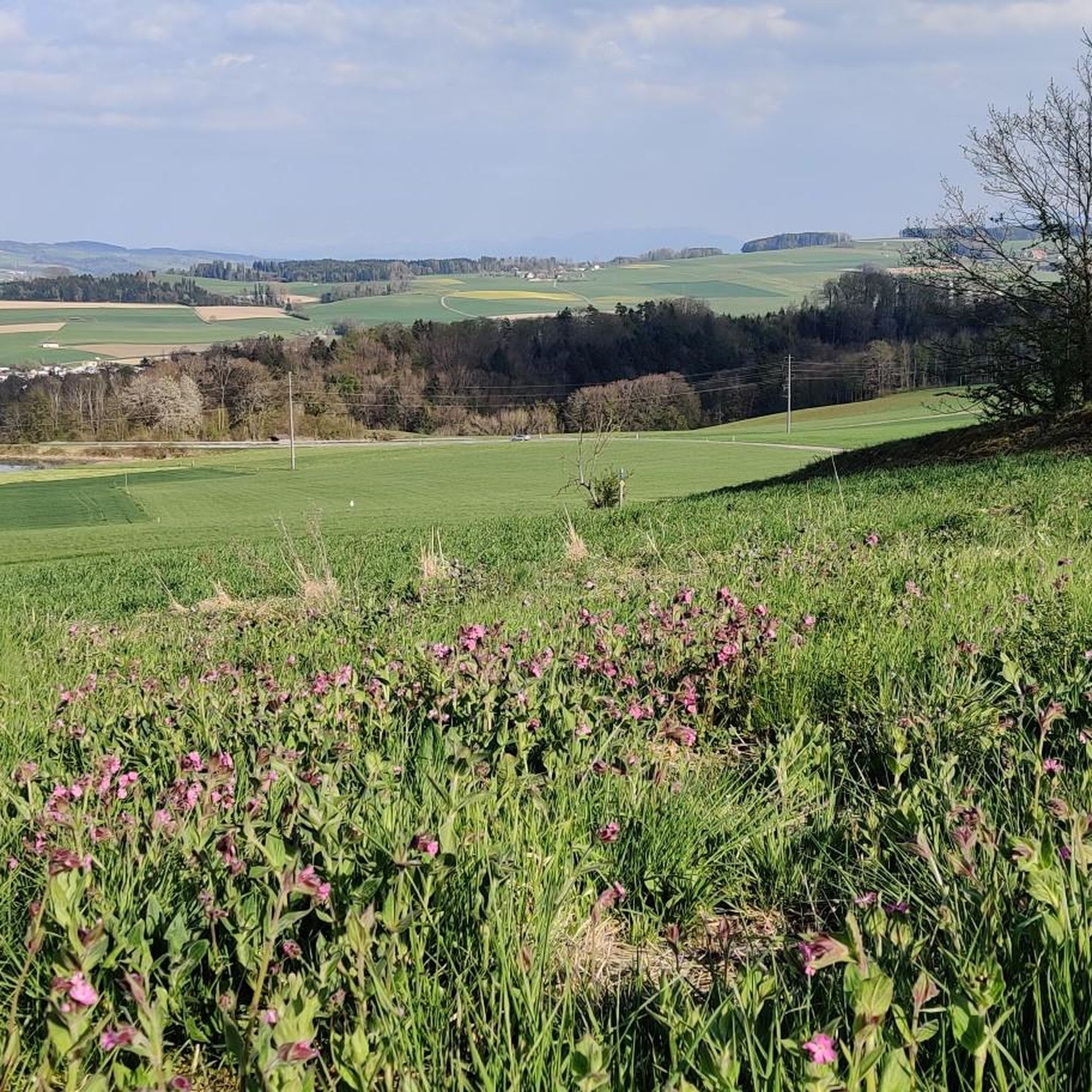
Tips from the Community

Inconspicuous and without view, easily accessible on simple forest paths
1
0

Lindeberg Trail, the easy access, it was worth the effort.
1
0
Top of Lindenberg is a must for an AG biker to climb at least once a year
2
0

The ideal starting and ending point for circumnavigating the lake. Large parking lot available, including a swimming pool if you feel like it.
1
0

Alpine views and little traffic on side roads
1
0
Always nice to visit Top of Lindenberg
1
1

Ideal starting point for many activities in the Hallwilersee/Baldeggersee region. E.g. excursion to Beinwil, access to the Freiämterweg, scheduled boat Hallwilersee...
0
0

Very easy (to climb) the highest point
3
0
Frequently Asked Questions
What are some notable elevated points around Menziken?
The region around Menziken features several elevated points and hills that offer recreational opportunities. Two prominent examples are the Highest Point of Lindenberg (681 m), known for easy bike tours, and Stierenberg Summit, which is the highest mountain in the Canton of Aargau.
What makes the Lindenberg area unique for visitors?
The Lindenberg, with its highest point at 681 m, is often described as a paradise for easy bike and bicycle tours. Its name, 'lind' (soft) in the Freiamt dialect, reflects its gentle slopes. The area is characterized by numerous springs, and after rainfall, it can be quite wet in many places, with some areas experiencing gradual earth movement. It's an appealing area for less strenuous outdoor activities.
What kind of views can I expect from the elevated points in the Menziken area?
While the immediate vicinity of Menziken itself doesn't offer dramatic alpine vistas, some routes and elevated points provide scenic views. For instance, the Stierenberg Summit is known for its great landscape, and on clear days, routes in the area can offer views of the Central Swiss Alps.
Are there family-friendly options among the elevated points around Menziken?
Yes, many of the routes and elevated points in the Menziken area are suitable for families. The Highest Point of Lindenberg (681 m) is considered very easy to climb and is popular for family-friendly bike tours. The Stierenberg Summit also falls under family-friendly categories, offering hiking opportunities.
What cycling opportunities are available around the Menziken peaks?
The region is well-suited for cycling, particularly easy bike tours. The Lindenberg area is a prime example, known for its gentle slopes. You can find various cycling routes, including longer ones like the 97.4 km 'Suhre Valley Cycle Path – Sempach City Gate loop' or shorter, moderate options like the 15.9 km 'Beromünster Old Town loop'. For more options, explore the Cycling around Menziken guide.
Are there easy hiking trails near Menziken's elevated points?
Yes, the area offers many easy hiking trails. For example, the 'Knabenrüti Hut – View of the Alps loop from Burg' is an easy 6.1 km hike. Another easy option is the 'View of the Alps – Stierenberg Summit loop from Burg', which is about 5.9 km. You can find more details in the Hiking around Menziken guide.
Are there any historical sites or unique attractions near the elevated points?
Yes, near the elevated points, you can find unique attractions like the Stiefeliryter Inn and Open-Air Museum, Hämikerberg. This location started as a restaurant for horse riders and now includes an open-air museum and a game golf facility, offering a blend of history and recreation.
What natural features characterize the landscape around Menziken's peaks?
The landscape around Menziken's elevated points is characterized by picturesque hilly terrain, often featuring forested areas and numerous springs, particularly on the Lindenberg. Paths often traverse hills around lakes like Baldegg and Hallwil, adding to the diverse natural scenery.
How accessible are the elevated points around Menziken by public transport?
Public transport options are available, with locations like Mosen Railway Station serving as a good starting point for tours, including the circumnavigation of Lake Hallwil. While some routes might require a short walk or bus connection to reach specific trailheads, the region generally offers accessible options.
Are there places to eat or stay near the elevated points?
Yes, there are options for dining and relaxation. The Stiefeliryter Inn and Open-Air Museum, Hämikerberg offers a restaurant experience. Additionally, the Seerose Hotel & Restaurant is located directly on the lake, providing a beautiful setting for meals and relaxation.
What are some moderate hiking routes available in the region?
For those seeking moderate hiking challenges, options include the 'Knabenrüti Hut – Stierenberg Summit loop from Burg', which is 11.5 km long, or the 'View of Menziken – Knabenrüti Hut loop from Menziken', covering 10.4 km. These routes offer a good balance of distance and elevation. More routes can be found in the Hiking around Menziken guide.
Can I find running trails near the elevated points around Menziken?
Yes, the area offers various running trails. Examples include the 'Schlifitobel Trail – Trail along the Wyna loop from Menziken' (9.2 km) and the 'Weiher loop from Menziken' (6.4 km), both rated as moderate difficulty. For more running options, check the Running Trails around Menziken guide.
Most popular routes around Menziken
Most popular attractions around Menziken

Get inspired with the komoot mobile app


Explore more
See even more amazing summits around Menziken with these guides:
