Coronado National Forest
Coronado National Forest
Top 7 Mountain Passes in Coronado National Forest
Best mountain passes in Coronado National Forest are found across its "sky island" mountain ranges in southeastern Arizona and southwestern New Mexico. These areas feature diverse ecosystems, transitioning from desert grasslands to alpine forests. The passes provide access to higher elevations and offer recreational opportunities.
Best mountain passes in Coronado National Forest
- The most popular mountain passes is Shreve Saddle, a mountain pass that offers views to the Santa Catalina Mountains and Pine Canyon. It is a meeting point…
Last updated: June 24, 2026
Trans-Mountain Road climb - Chiricahua NM East side
Highlight (Segment) • Climb
Tip by

Duquesne Road Mining Ruins
Highlight • Historical Site
Tip by

Sign up now to discover places like this
Get recommendations on the best single tracks, peaks, & plenty of other exciting outdoor places.
Sign up for free
Shreve Saddle
Highlight • Mountain Pass
Tip by

Romero Pass
Highlight • Mountain Pass
Tip by
Canelo Pass Road (Gravel)
Highlight (Segment) • Trail
Tip by

Sign up for free to discover even more mountain passes in Coronado National Forest.
Sign up for free
Already have an account?
Start today with a free account
Your next adventure awaits.
Login or Signup
Popular around Coronado National Forest

Arizona Trail — A beautiful 800-mile struggle

The Arizona Trail — From Mexico to Utah in 43 days
Hiking in Coronado National Forest
MTB Trails in Coronado National Forest
Road Cycling Routes in Coronado National Forest
Running Trails in Coronado National Forest
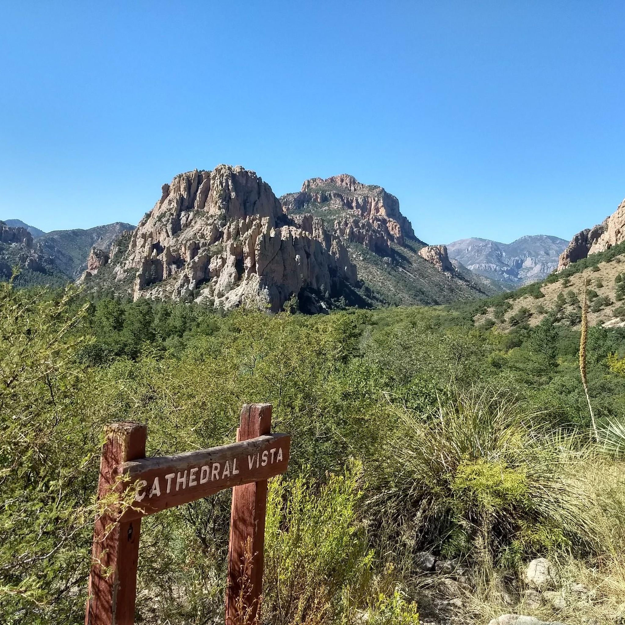
Cycling in Coronado National Forest
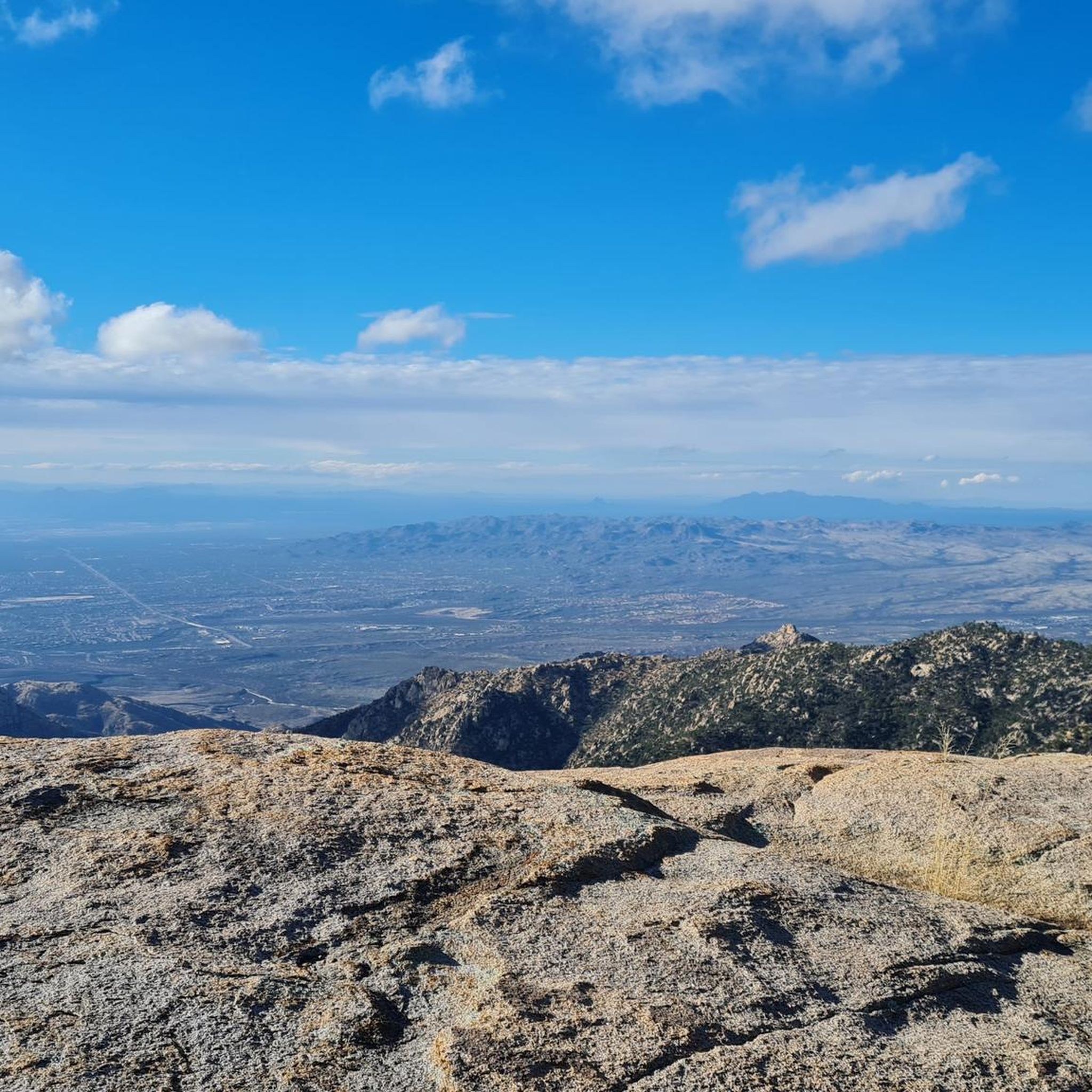
Gravel biking in Coronado National Forest
Other adventures in Coronado National Forest


Tips from the Community

This gravel forest road FR 42 is the eastern part of the connection from the town of Portal at Cave Creek Canyon up and over the mountains before dropping down to Hwy 181 near the West entrance to Chiricahua National Monument. It connects to the paved end near Portal, labelled Cave Creek Road, while the section west of Onion Saddle is often labelled Pinery Canyon Road or South Pinery Canyon Road. The first four miles on Cave Creek Road from Portal are paved. Just before the Southwest Research Station at Herb Martyr Road (FR 42A) it turns to dirt and is a graded dirt road the rest of the way. It is rocky in places. In Cave Creek Canyon camping is only allowed in campgrounds. Once you are on National Forest land beyond the SW Research Station there are tons of dispersed camping sites all the way to the forest boundary.
0
0

Canelo Pass Road is a dirt road that takes from the ghost town of Canelo to the San Rafael Valley Road, an iconic gravel road through the open valley. This gravel road can be a bit rough at spots, but is generally well-maintained and well-graded. If completing on a road bike, make sure it can take wider tires; 35mm would be the minimum, 40mm+ would be more comfortable, and tubeless is a must. There are sharp rocks, the occasional cactus spike, and it's quite remote...
0
2

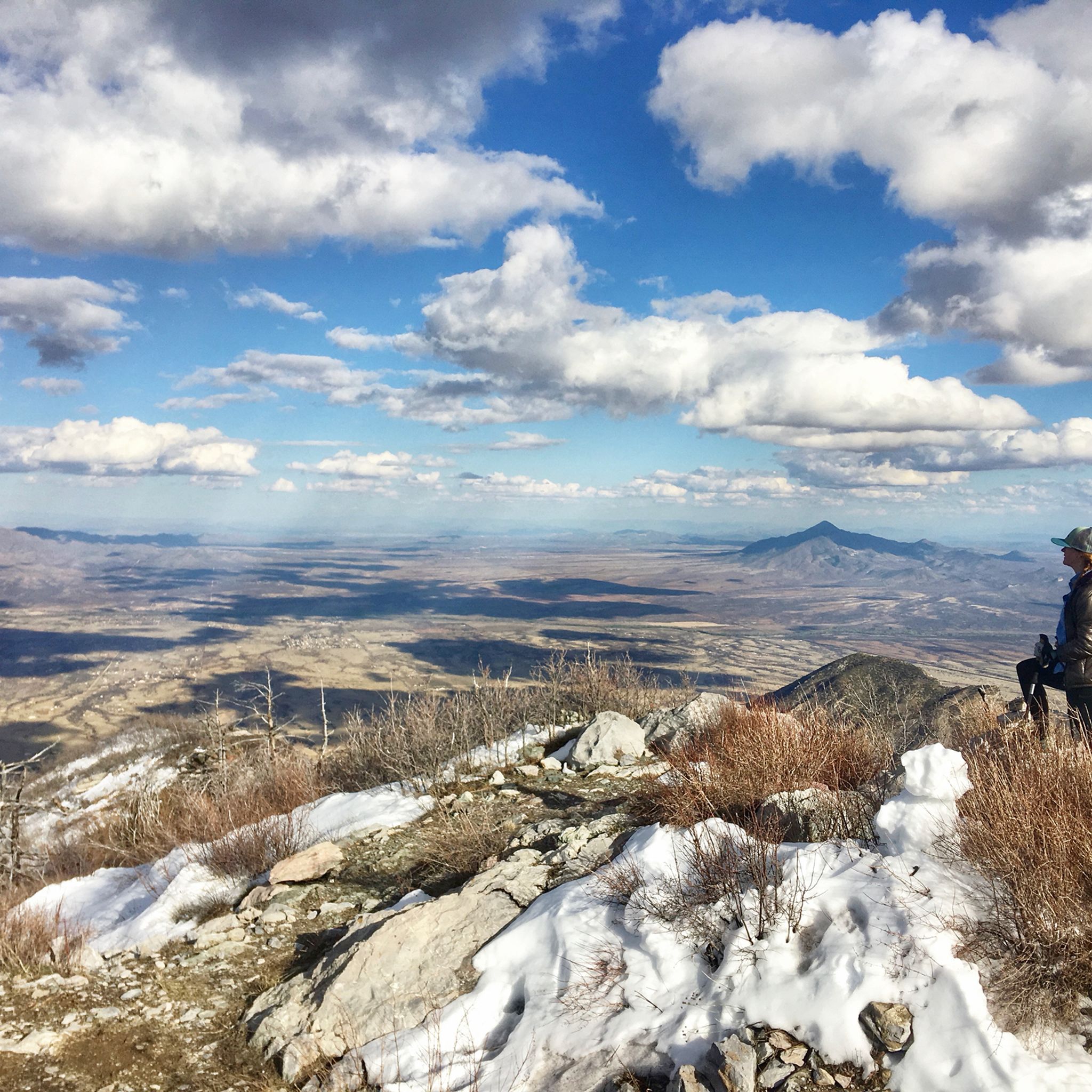
This is one of my favorite mountain passes in Southern Arizona-- in spring, there's often a little snow on top.
0
0

You'll find different mining remnants on Duquesne Road, but this old building/ruin is an eye-catcher.
1
0

From Shreve Saddle you have a breathtaking view to the Santa Catalina Mountains and into Pine Canyon. At this point the Molino Basin Trail and the Sycamore Reservoir Trail meet. The Arizona Trail winds its way very scenically along the rim of the mountain.
4
0
What does not kill you, makes you stronger. This is so true on the hike up from Romero Pass to Mount Lemmon along the Arizona Trail. This section of the trail defines the word "steep" totally new. Sometimes you will have to crawl on your feet and hands. But keep going, the landscape "up there" is gorgeous and worth the hard effort. By the way: you have a unique view from here and there is also a tiny spot for cowboy camping.
2
0
A mostly firm gravel road, steep in parts, leads up from the research station to Onion Saddle, with some considerable inclines - moderated by switchback in the upper third section.
0
0
Frequently Asked Questions
What are some of the most scenic mountain passes in Coronado National Forest?
For breathtaking vistas, consider Shreve Saddle, which offers expansive views of the Santa Catalina Mountains and Pine Canyon. Another excellent choice is Romero Pass, known for its unique views from higher elevations. Additionally, the drive along Mount Lemmon Highway (Catalina Highway) provides dramatic changes in scenery from desert to alpine forest, and Pinery Canyon offers magnificent views of the basin-and-range region.
Are there any historical sites or unique landmarks among the mountain passes?
Yes, you can explore Duquesne Road Mining Ruins, a historical site featuring various mining remnants, including an old building ruin. This pass also offers a unique perspective on the region's history.
What kind of outdoor activities can I do near the mountain passes in Coronado National Forest?
The Coronado National Forest offers a wide range of activities. You can find numerous hiking opportunities, from easy to challenging, as detailed in our guide to Hiking in Coronado National Forest. For cyclists, there are extensive Road Cycling Routes and Gravel Biking trails, allowing you to explore the diverse landscapes.
Are there challenging mountain passes for experienced hikers or cyclists?
Absolutely. Romero Pass is a challenging section of the Arizona Trail, known for its steep ascent that requires significant effort. For cyclists, the Trans-Mountain Road climb - Chiricahua NM East side offers a firm gravel road with considerable inclines, especially in its upper third section.
What is the best time of year to visit the mountain passes in Coronado National Forest?
The Coronado National Forest is a 'sky island' region, meaning conditions vary significantly with elevation. Generally, spring and fall offer pleasant temperatures for exploring lower and mid-elevation passes. Higher elevation passes, like those accessed via Mount Lemmon Highway, provide a cool escape from the desert heat in summer and can even offer skiing in winter.
Are there any family-friendly options for exploring mountain passes?
While specific 'family-friendly' categories aren't listed for all passes, many areas offer accessible sections or shorter trails suitable for families. The diverse ecosystems and scenic drives, such as parts of the Mount Lemmon Highway, can be enjoyed by all ages, with numerous picnic areas and viewpoints along the way.
What kind of wildlife can I expect to see around the mountain passes?
The 'sky island' ecosystems of Coronado National Forest are incredibly biodiverse. You might spot a variety of birds, especially in areas like the Huachuca Mountains (Montezuma Pass) and Santa Rita Mountains (Box Canyon Road), which are renowned for birdwatching. Deer, javelina, and various smaller mammals are also common, with larger predators like mountain lions and black bears present but rarely seen.
What are the typical terrain and difficulty levels for trails around these passes?
The terrain varies greatly, from well-maintained gravel roads like Canelo Pass Road (Gravel) to rugged, steep trails such as the ascent to Romero Pass. Difficulty ranges from intermediate for many scenic drives and trails to challenging for specific climbs and longer hikes. Always check individual route details for specific elevation gains and surface conditions.
Are there any mountain passes that offer a true southwestern experience?
Stockton Pass in the Pinaleño Mountains offers a quintessential southwestern experience. The route is characterized by large cattle ranches, rugged mountain ranges, and broad grasslands studded with desert plants, providing access to stunning landscapes and diverse ecosystems as you ascend.
Where can I find information about permits or parking for mountain passes in Coronado National Forest?
Most mountain passes within the Coronado National Forest are accessible without specific permits for day use. However, some areas, especially those with developed recreation sites, may require a recreation pass (like the Coronado National Forest Pass or America the Beautiful Pass) for parking. It's always best to check the specific regulations for the area you plan to visit, as rules can vary.
What makes the mountain passes in Coronado National Forest unique compared to other Arizona trails?
The Coronado National Forest's mountain passes are unique due to their 'sky island' nature. They offer a remarkable transition of flora and fauna, ascending from Sonoran Desert to alpine forests within a relatively short distance. This creates diverse ecosystems and microclimates, providing a stark contrast to the more uniform desert landscapes found elsewhere in Arizona.
Most popular routes in Coronado National Forest
Most popular attractions in Coronado National Forest

Get inspired with the komoot mobile app


