Top 5 Natural Monuments around Stikine Region
Natural monuments around Stikine Region British Columbia feature a rugged and untamed wilderness, characterized by significant geological features and diverse ecosystems. This vast area, including Stikine River Provincial Park, offers a true wilderness experience. The region is home to impressive canyons, pristine lakes, and glacial landscapes, providing a glimpse into the raw power of nature. Visitors can explore a variety of natural attractions that highlight the area's unique geology and rich biodiversity.
Best natural monuments around Stikine Region
- The most…
Last updated: May 11, 2026
Beaver Dam on Beaver Lodge Trail, Tā Ch’ilā Provincial Park
Highlight • Natural Monument
Translated by Google •
Tip by

Boya Lake
Highlight • Lake
Translated by Google •
Tip by
Sign up now to discover places like this
Get recommendations on the best single tracks, peaks, & plenty of other exciting outdoor places.
Sign up for free
White Pass
Highlight • Mountain Pass
Tip by

Laughton Glacier
Highlight • Natural Monument
Tip by

Samuel Glacier Viewpoint
Highlight • Viewpoint
Translated by Google •
Tip by

Start today with a free account
Your next adventure awaits.
Login or Signup
Popular around Stikine Region
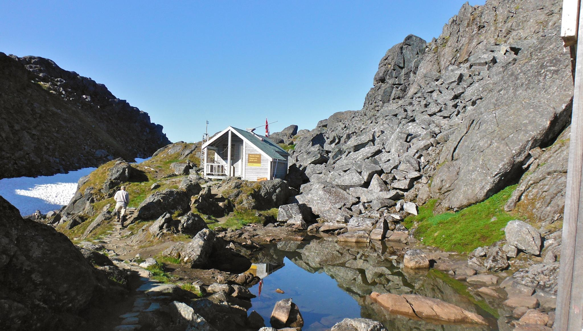
The Chilkoot Trail — Gold Rush history among soaring mountains
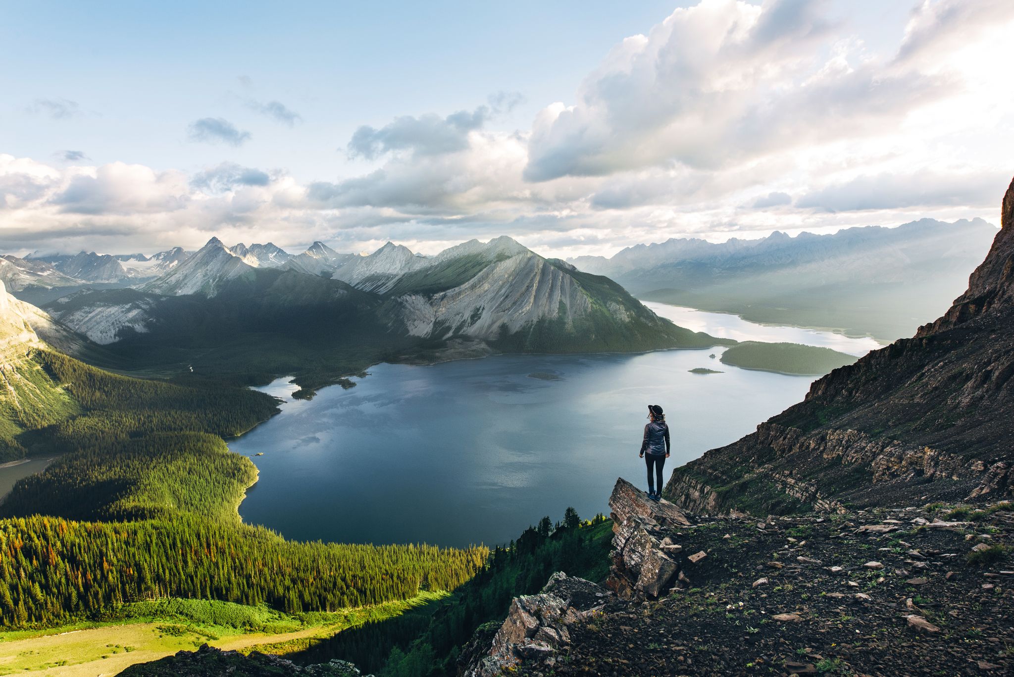
Long-distance hiking in Canada – between mountains and coast
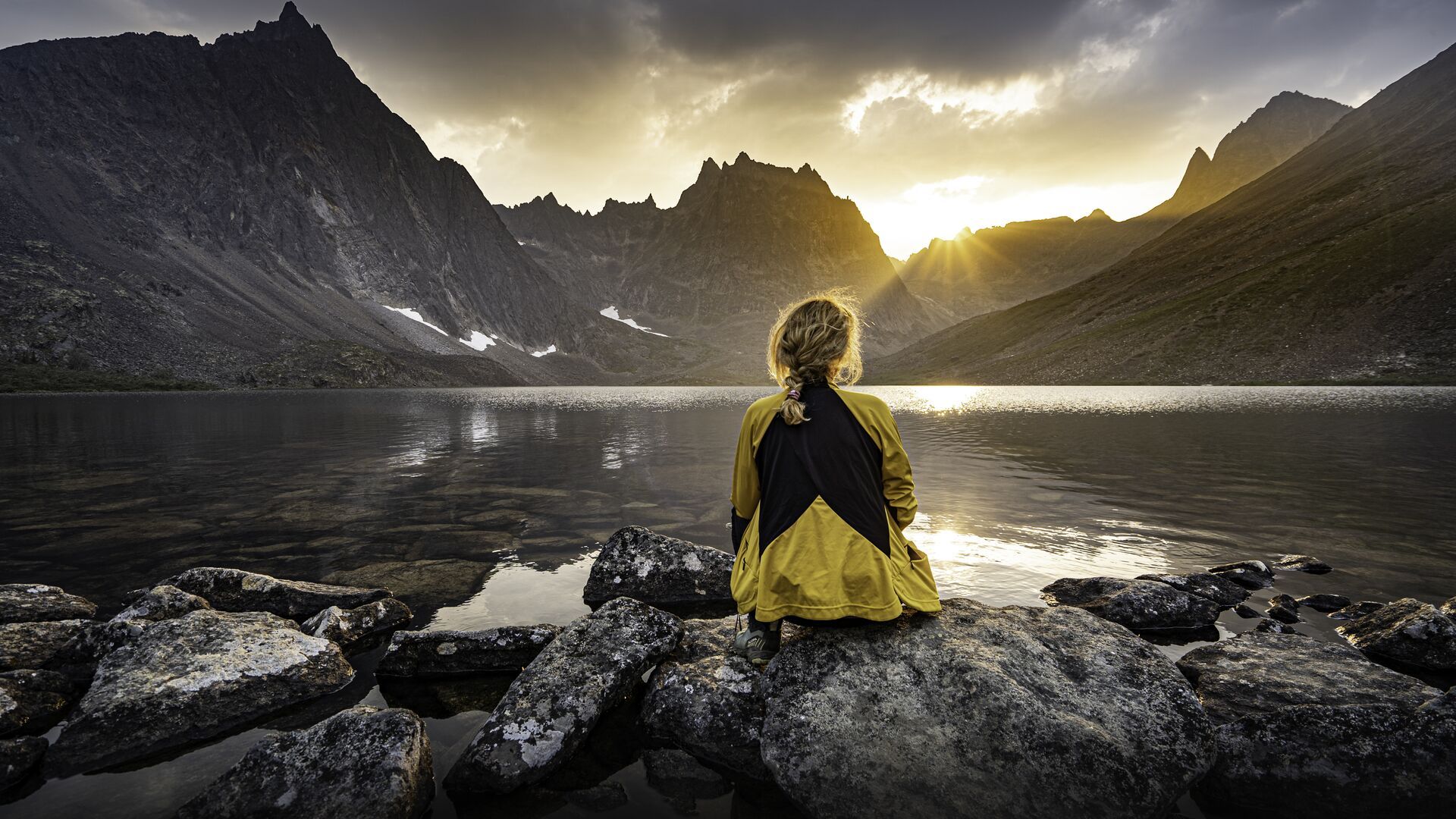
The longest footpath in the world – Trans Canada Trail
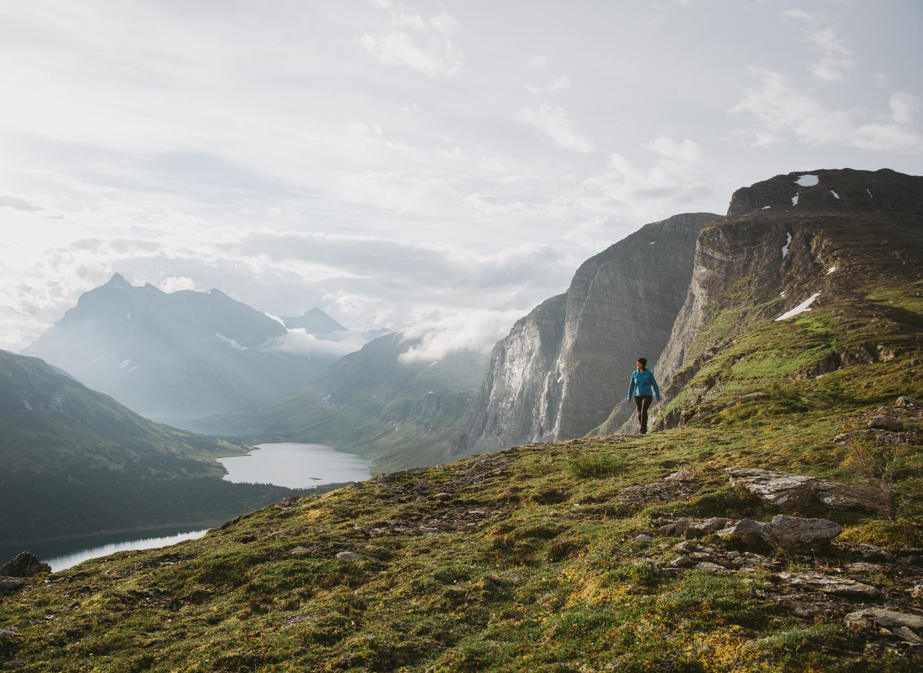
The Great Wilderness – hiking in the vastness of British Columbia
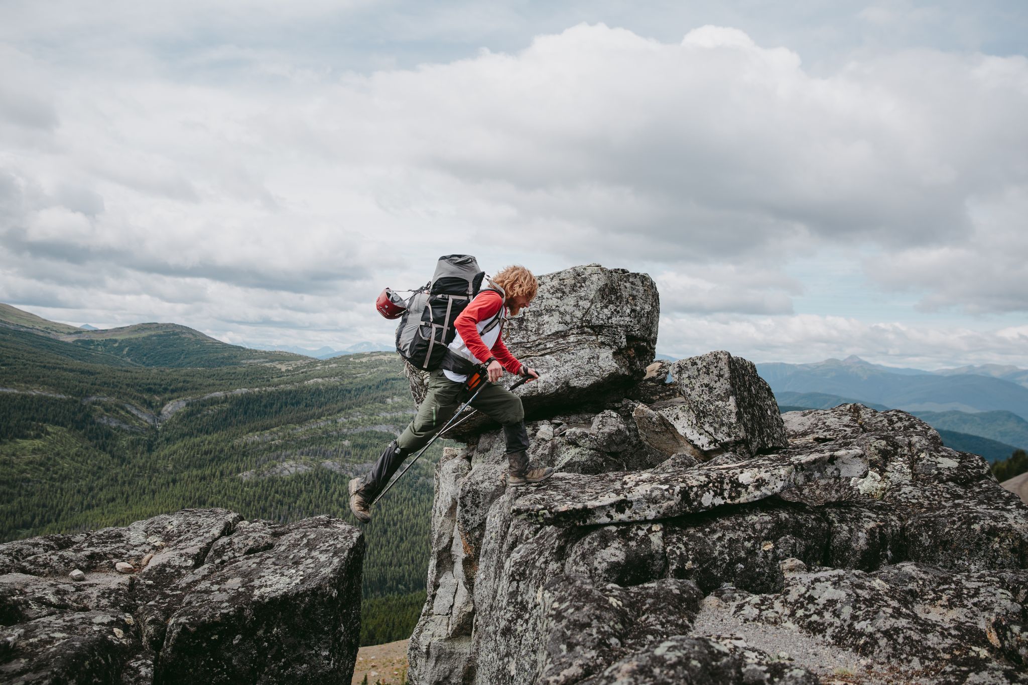
The Great Wilderness – a multi-day route across British Columbia
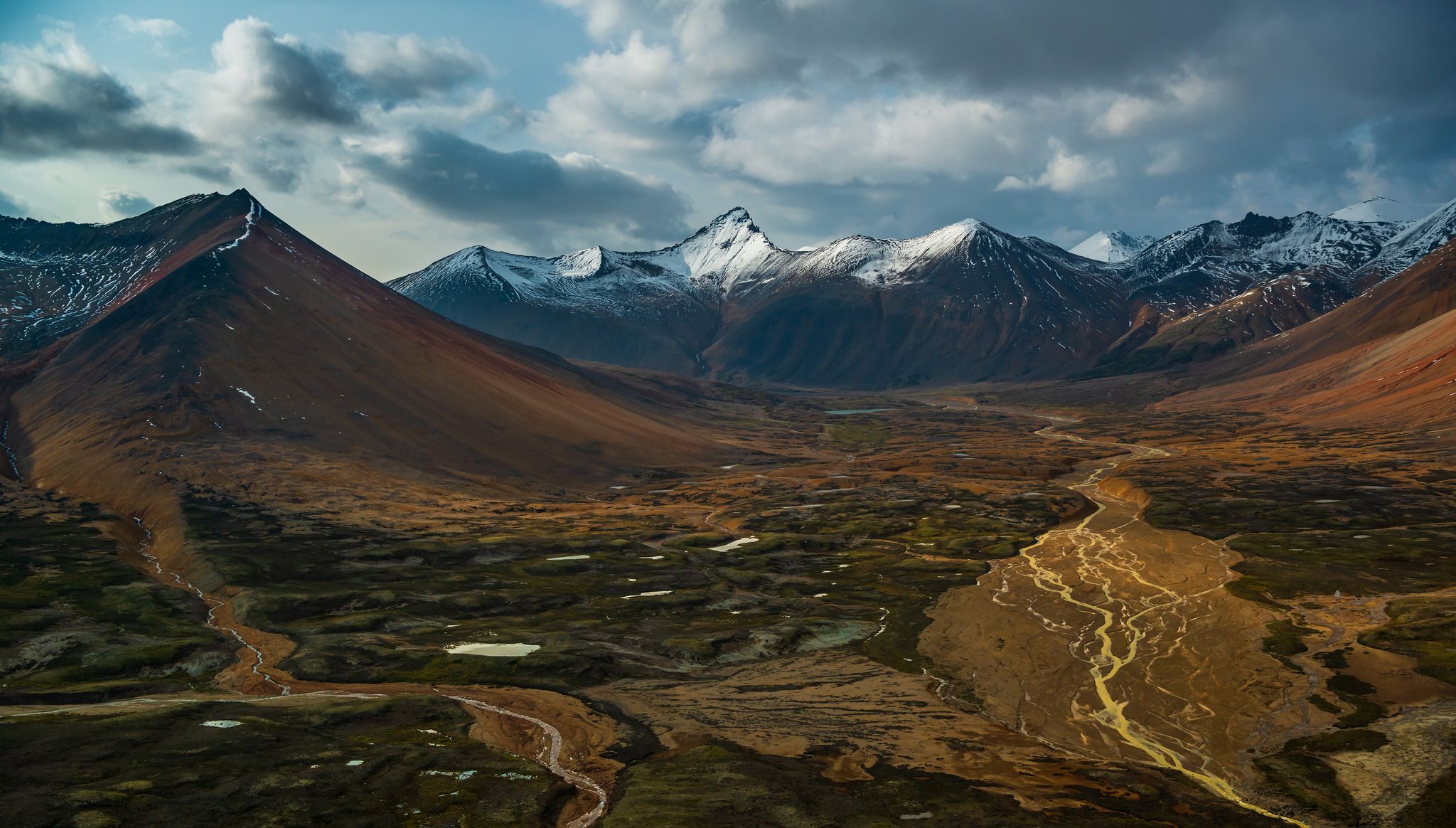
The Great Wilderness – hiking adventures in vast British Columbia
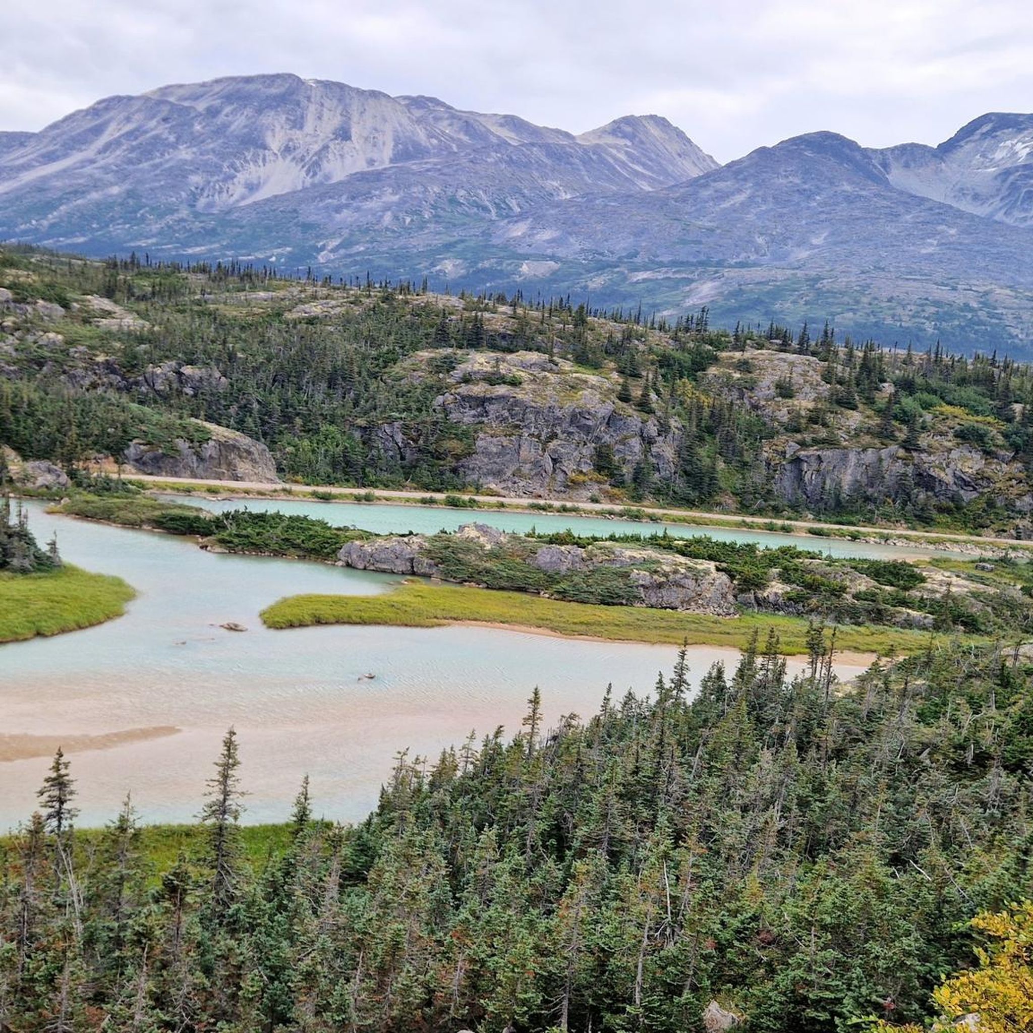
Hiking around Stikine Region
Other adventures around Stikine Region


Tips from the Community

This hike begins after a beautiful 14-mile train ride from Skagway and ends at the foot of the Laughton Glacier. It's Alaska, it's amazing, you will not be disappointed!
0
0

At the end of the hiking trail you have a fantastic view of the glacier. To reach the glacier you would have to walk a few more kilometers in a northwesterly direction, but this is only possible with appropriate equipment and experience in glacier hiking.
0
0

White Pass is a legendary mountain pass in Skagway, Alaska, integral to the Klondike Gold Rush of the late 1800s. This pass, nestled between the Chilkat Range and the Coast Mountains, was a crucial route for prospectors seeking Yukon's gold. Today, it offers a glimpse into the past, allowing you to experience the challenging terrain that shaped the history of the region.
0
0

The Beaver Lodge Trail leads to a beaver dam that has dammed up part of Boya Lake by more than a meter. It's remarkable how the small animals can have such an impact on their environment. The choice of location and construction technique are phenomenal.
2
0
Tā Ch'ilā Provincial Park (Boya Lake Park) is located on Stewart-Cassiar Highway 37 at kilometer 638. There is an excellent campground right on Boya Lake that invites you to linger. The park is located in the Liard Plain, an area that was formed by glaciers 20,000 years ago. https://bcparks.ca/ta-chila-park-aka-boya-lake-park/
2
0
Frequently Asked Questions
What unique natural features can I explore in the Stikine Region?
The Stikine Region offers a diverse range of natural features. You can witness the impressive geological formations of the Grand Canyon of the Stikine, explore pristine glacial lakes like Boya Lake, and observe active wildlife habitats such as the Beaver Dam on Beaver Lodge Trail. The region is also home to significant glaciers, including the Laughton Glacier and the Samuel Glacier.
Are there family-friendly natural monuments to visit in the Stikine Region?
Yes, the Stikine Region has natural monuments suitable for families. Boya Lake in Tā Ch'ilā Provincial Park is an excellent choice, offering clear waters and a serene setting with an inviting campground. The Beaver Dam on Beaver Lodge Trail, also in Tā Ch’ilā Provincial Park, provides an interesting educational experience for all ages, showcasing how beavers significantly impact their environment.
What historical natural monuments can I find in the Stikine Region?
The White Pass is a legendary mountain pass integral to the Klondike Gold Rush. While primarily a natural formation, its historical significance as a crucial route for prospectors makes it a fascinating site where nature and history intertwine, offering a glimpse into the challenging terrain that shaped the region's past.
What kind of wildlife can I expect to see around the natural monuments?
The Stikine Region, particularly within areas like Stikine River Provincial Park, is rich in wildlife. Visitors may encounter moose, grizzly and black bears, wolves, beavers, and hoary marmots. The sheer canyon walls of the Grand Canyon of the Stikine provide protection for over 360 mountain goats. Birdwatching is also popular, with diverse species inhabiting the various ecosystems.
What outdoor activities are available near the natural monuments in the Stikine Region?
The Stikine Region offers numerous outdoor activities. Hiking is a popular choice, with trails like the Chuck Creek Trail leading to the Samuel Glacier and the Laughton Glacier Trail. Canoeing and kayaking are permitted on the upper Stikine River, allowing for exploration of parts of the majestic landscape. Fishing for species like Dolly Varden, Arctic grayling, rainbow trout, Chinook salmon, and steelhead is also possible year-round or seasonally.
Are there hiking trails near the natural monuments?
Yes, there are several hiking opportunities. For instance, you can hike to the Samuel Glacier Viewpoint, which offers fantastic views, though reaching the glacier itself requires specialized equipment. The Laughton Glacier is accessible via a hike after a scenic train ride from Skagway. You can find more hiking options in the region by visiting the Hiking around Stikine Region guide.
What is the best time to visit the natural monuments in the Stikine Region?
The best time to visit largely depends on the activity. For general exploration and hiking, late spring through early fall (June to September) typically offers the most favorable weather conditions. For specific activities like fishing, Chinook salmon and steelhead are available downstream of the Grand Canyon in late summer and fall. Winter activities are also possible, though access to some areas may be limited by snow.
What makes the Grand Canyon of the Stikine a significant natural monument?
The Grand Canyon of the Stikine is an unparalleled geological feature in Canada, stretching 80 kilometers and plunging 300 meters deep. Carved by the Stikine River, its sheer walls and varying river widths (from 200 meters to a mere 2 meters) showcase the raw power of nature. It's also a vital sanctuary for diverse wildlife and was famously described by naturalist John Muir as a 'Yosemite that was a hundred miles long'.
Are there any accessible viewpoints for natural monuments in the Stikine Region?
While the Stikine Region is known for its rugged wilderness, some areas offer more accessible viewing opportunities. Boya Lake, located in Tā Ch'ilā Provincial Park, has a campground right on the lake, providing easy access to its serene natural setting. For other natural monuments, accessibility can vary, and some viewpoints may require hiking.
What should I wear when exploring the natural monuments in the Stikine Region?
Given the region's untamed wilderness and varying terrain, it's advisable to wear layers of clothing suitable for changing weather conditions. Sturdy hiking boots are essential for trails, and rain gear is recommended regardless of the season. For glacier viewpoints or more challenging hikes, specialized outdoor apparel and equipment may be necessary.
Can I go fishing near the natural monuments?
Yes, fishing is a popular activity in the Stikine Region. The Stikine River and its surrounding waters offer opportunities to fish for native species such as Dolly Varden, Arctic grayling, and rainbow trout year-round. Chinook salmon and steelhead can be found downstream of the Grand Canyon in late summer and fall, providing seasonal angling experiences.
What are some of the geological origins of the natural monuments in the Stikine Region?
Many of the natural monuments in the Stikine Region have significant geological origins. For example, Boya Lake and the surrounding Liard Plain were formed by glaciers approximately 20,000 years ago. The Grand Canyon of the Stikine itself was carved over eons by the erosive power of the Stikine River through sedimentary and volcanic rock, showcasing the region's dynamic geological history.
Most popular routes around Stikine Region
Most popular attractions around Stikine Region

Get inspired with the komoot mobile app


Explore more
Extend your search for the best caves by checking out these guides of the top ones around Stikine Region:
