Area B (South Fraser Canyon/Sunshine Valley)
Area B (South Fraser Canyon/Sunshine Valley)
Top 5 Mountain Passes around Area B (South Fraser Canyon/Sunshine Valley)
Best mountain passes around Area B (South Fraser Canyon/Sunshine Valley) are characterized by dramatic mountainous terrain, deep canyons, and significant transportation corridors. This region, within British Columbia's Fraser Valley Regional District, offers diverse landscapes from valleys to high mountain peaks. It features routes like the Coquihalla Highway, Crowsnest Highway, and the Fraser Canyon section of Highway 1. These areas provide opportunities to explore unique geological features and historical sites.
Best mountain passes around Area B (South Fraser Canyon/Sunshine Valley)
- The…
Last updated: July 8, 2026
Frosty Mountain junction
Highlight • Mountain Pass
Tip by

Coquihalla Summit Recreation Area
Highlight • Mountain Pass
Tip by

Sign up now to discover places like this
Get recommendations on the best single tracks, peaks, & plenty of other exciting outdoor places.
Sign up for free
Frosty Pass & campsite
Highlight • Mountain Pass
Tip by
Castle Pass
Highlight • Mountain Pass
Tip by
Flora Pass
Highlight • Mountain Pass
Tip by

Sign up for free to discover even more mountain passes around Area B (South Fraser Canyon/Sunshine Valley).
Sign up for free
Already have an account?
Start today with a free account
Your next adventure awaits.
Login or Signup
Popular around Area B (South Fraser Canyon/Sunshine Valley)


Other adventures around Area B (South Fraser Canyon/Sunshine Valley)


Tips from the Community

The Coquihalla Summit Recreation Area spans 5,750 hectares across the Coquihalla Pass, and is a breathtaking transition zone between the coastal and interior mountains of British Columbia. Established to conserve the unique dry-belt alpine landscape, it offers convenient access to popular high-country trails, including Zoa, Needle, and Flatiron. With its granite ridges, subalpine forests, and remnants of the historic Kettle Valley Railway, this area is a beautiful destination for hikers, snowshoers, and travelers along Highway 5.
0
0

Frosty Pass is located at mile marker 702.4 of the Pacific Northwest Trail and offers some stunning views over the mountain ranges to all sides. Follow a faint trail to the right (hiking westbound) to find some great spots to pitch a tent. The sunrise is breathtaking!
4
0
The trail camp is around 0.1 miles north of the trail junction. It offers a large area for numerous tents. It is located at mile marker 2.650 of the PCT. This is also the junction to the Castle Pass Trail that leads to Ross Lake.
2
0

poles and/or crampons would've come in handy. Be sure to keep your eyes on the trail markers. I got lost here a couple of times, because I was too much focussed on my feet.
0
0
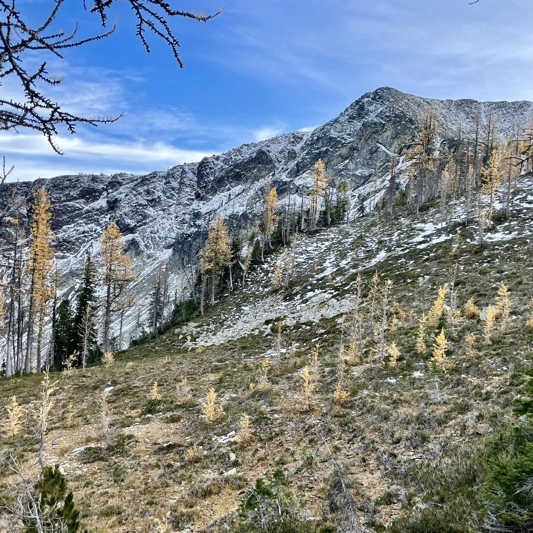
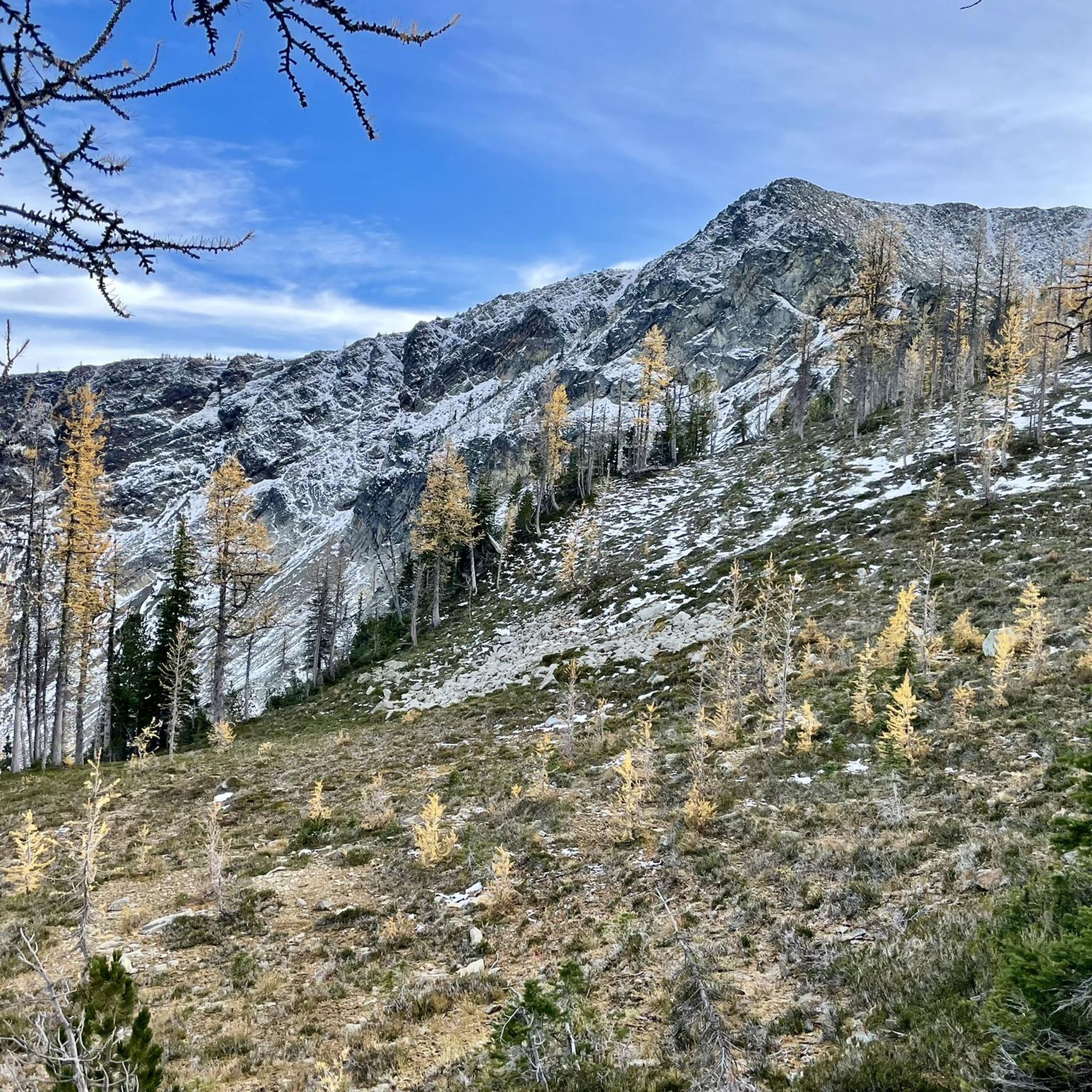
Once you've fought your way up here, a spectacular view of Frosty Mountain and the surrounding mountain landscape awaits. Especially in the sunshine, you can stand it here for a few moments, provided you don't come here in high season, because there's not much space at this crossing. To the actual summit, it's only about 600 meters in distance. However, as it goes over the ridge, it can be dangerous in winter with snow. Then it may be enough to enjoy the view from here.
3
0
The climb from the west is not as steep and arduous as from the east and is the classic walking direction if you hike the loop. Also, you can spend a night at Frosty Creek Camp at about 1,900 meters and climb the summit at 2,400 meters the next day. To spend the night in the backcountry, you'll need a permit that costs 5 dollars a night per person. Also note: In winter and even in fall, Frosty Mountain can be snow covered. So if you are descending to the west, you should have microspikes in your backpack for this case.
0
0
Frequently Asked Questions
What natural features can I expect to see when exploring the mountain passes in Area B?
The mountain passes in Area B offer a diverse range of natural features. Along the Coquihalla Highway, you'll encounter stunning mountain views, granite peaks, and subalpine forests, particularly within the Coquihalla Summit Recreation Area. The Crowsnest Highway through Sunshine Valley showcases expansive meadows, dense forests, and clear streams. The Fraser Canyon section of Highway 1 features dramatic towering cliffs, deep gorges, and the powerful Fraser River.
Where can I find the most scenic views along the mountain passes?
For breathtaking vistas, the ascent to Coquihalla Summit on Highway 5 offers stunning mountain views, especially in early fall. The Crowsnest Highway (Highway 3) through Sunshine Valley and towards Manning Provincial Park provides immersive alpine beauty. In the Fraser Canyon, viewpoints along Highway 1 offer spectacular perspectives of the deep gorges and the turbulent Fraser River, with notable spots like Hells Gate.
What hiking opportunities are available near the Coquihalla Summit Recreation Area?
The Coquihalla Summit Recreation Area is a hub for experienced hikers, offering challenging trails to iconic peaks like Needle Peak, Zoa Peak, and Flatiron Peak. These trails provide technical scrambling and panoramic views. You can find more details on these and other hiking routes in the region on the Hiking around Area B (South Fraser Canyon/Sunshine Valley) guide.
Are there easy hiking trails suitable for beginners near the mountain passes?
Yes, there are several easy hiking options. For instance, the Easy hikes around Area B (South Fraser Canyon/Sunshine Valley) guide highlights trails like the Othello Tunnels loop in Coquihalla Canyon Provincial Park, which is an easy and scenic walk through old railway tunnels.
What historical significance do the mountain passes in Area B hold?
The Fraser Canyon section of Highway 1 is particularly rich in history, being a major transportation route during the Gold Rush era and part of the British Columbia Gold Rush Trail. You can explore remnants of the historic Kettle Valley Railway near the Coquihalla Summit. The Othello Tunnels in Coquihalla Canyon Provincial Park are also a significant historical railway site.
Can I visit historical sites along the Fraser Canyon mountain pass?
Absolutely. The Fraser Canyon is home to several historical sites. The **Othello Tunnels** in Coquihalla Canyon Provincial Park offer a unique experience walking through old railway tunnels. Further north, **Hells Gate** is a historic and dramatic narrow gorge where the Fraser River churns, viewable via an air tram. The entire drive through the canyon is steeped in Gold Rush history.
Are the mountain passes in Area B suitable for families?
Many areas around the mountain passes are family-friendly. The Crowsnest Highway through Sunshine Valley offers natural beauty and opportunities for outdoor activities like camping. The Othello Tunnels in Coquihalla Canyon Provincial Park provide an easy and engaging walk suitable for all ages. Always check specific trail difficulties and conditions before heading out with family.
When is the best time of year to visit the mountain passes in Area B?
The best time to visit depends on your preferred activities. For hiking and enjoying the full scenic beauty, late spring to early fall (May to October) is ideal. Early fall offers stunning golden hues, especially along the Coquihalla. Winter brings challenging driving conditions due to heavy snowfall and winds on routes like the Coquihalla, but also opportunities for snowshoeing for experienced visitors.
What makes the Crowsnest Highway through Sunshine Valley a unique experience?
The Crowsnest Highway (Highway 3) through Sunshine Valley offers a scenic journey through diverse landscapes, transitioning from lush valleys to majestic mountains. Sunshine Valley itself is known for its expansive meadows, dense forests, and clear streams, making it popular for hiking, fishing, and camping. The route leads into E.C. Manning Provincial Park, providing extensive opportunities for alpine exploration and wildlife spotting.
What are the driving conditions like, especially in winter, on these mountain passes?
Driving conditions can vary significantly. The Coquihalla Highway (Highway 5) is particularly known for challenging winter driving conditions due to its steep ascent, high elevation, heavy snowfall, and winds. It's crucial to be prepared for winter conditions, including carrying chains or having appropriate tires, and checking road reports before traveling during colder months. The Fraser Canyon can also experience adverse weather, while the Crowsnest Highway generally offers a more moderate drive, though still requiring caution in winter.
Are there dog-friendly trails or areas around the mountain passes?
While specific regulations can vary by park or trail, many outdoor areas in British Columbia are dog-friendly, often requiring dogs to be on a leash. It's always best to check the specific rules for provincial parks or recreation areas you plan to visit, such as E.C. Manning Provincial Park or the Coquihalla Summit Recreation Area, to ensure a pleasant experience for you and your pet.
What other outdoor activities can I do around the mountain passes in Area B?
Beyond hiking, the region offers a variety of outdoor activities. The Crowsnest Highway area, especially towards Manning Provincial Park, is popular for camping and wildlife spotting. The Fraser River in the canyon is known for fishing. For those interested in running, there are numerous routes available, as detailed in the Running Trails around Area B (South Fraser Canyon/Sunshine Valley) guide.
Most popular routes around Area B (South Fraser Canyon/Sunshine Valley)
Most popular attractions around Area B (South Fraser Canyon/Sunshine Valley)

Get inspired with the komoot mobile app


Explore more
See even more epic mountain passes by checking out these guides around Area B (South Fraser Canyon/Sunshine Valley):
