Top 6 Mountain Passes around Norte O Antequera
Best mountain passes around Norte O Antequera are found in a region characterized by a diverse landscape of plains, rolling fields, hills, and mountains. This area, often called the heart of Andalusia, features significant mountain ranges and natural parks. El Torcal de Antequera, a prominent natural reserve, offers elevated natural spaces with unique karst formations. The region provides a variety of mountain pass experiences through its dramatic terrain and scenic routes.
Best mountain passes around Norte O Antequera
- The most…
Last updated: June 23, 2026
Puerto del Sol (1085 m)
Highlight • Mountain Pass
Tip by

Puerto de Sábar
Highlight • Mountain Pass
Translated by Google •
Tip by

Sign up now to discover places like this
Get recommendations on the best single tracks, peaks, & plenty of other exciting outdoor places.
Sign up for free
El Torcal
Highlight • Mountain Pass
Translated by Google •
Tip by

Puerto de la Escaleruela Viewpoint
Highlight (Segment) • Viewpoint
Translated by Google •
Tip by

⭐ Puerto de El Jaral
Highlight • Mountain Pass
Translated by Google •
Tip by
Puerto de los Alazores
Highlight • Mountain Pass
Translated by Google •
Tip by

Start today with a free account
Your next adventure awaits.
Login or Signup
Popular around Norte O Antequera

On the road to the sun — bikepacking to southeast Spain
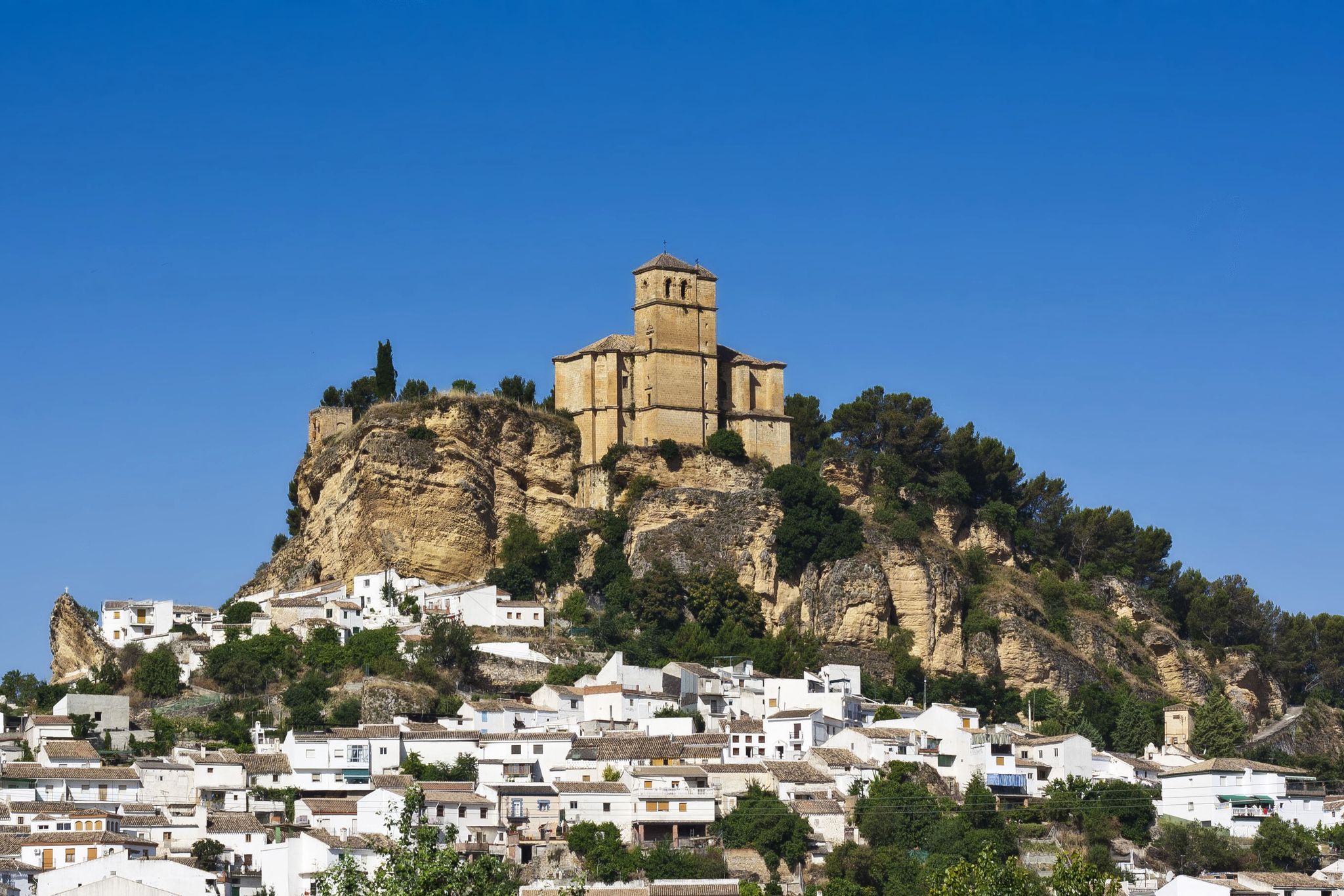
Washington Irving – cycle through the Arab vestiges of Andalusia
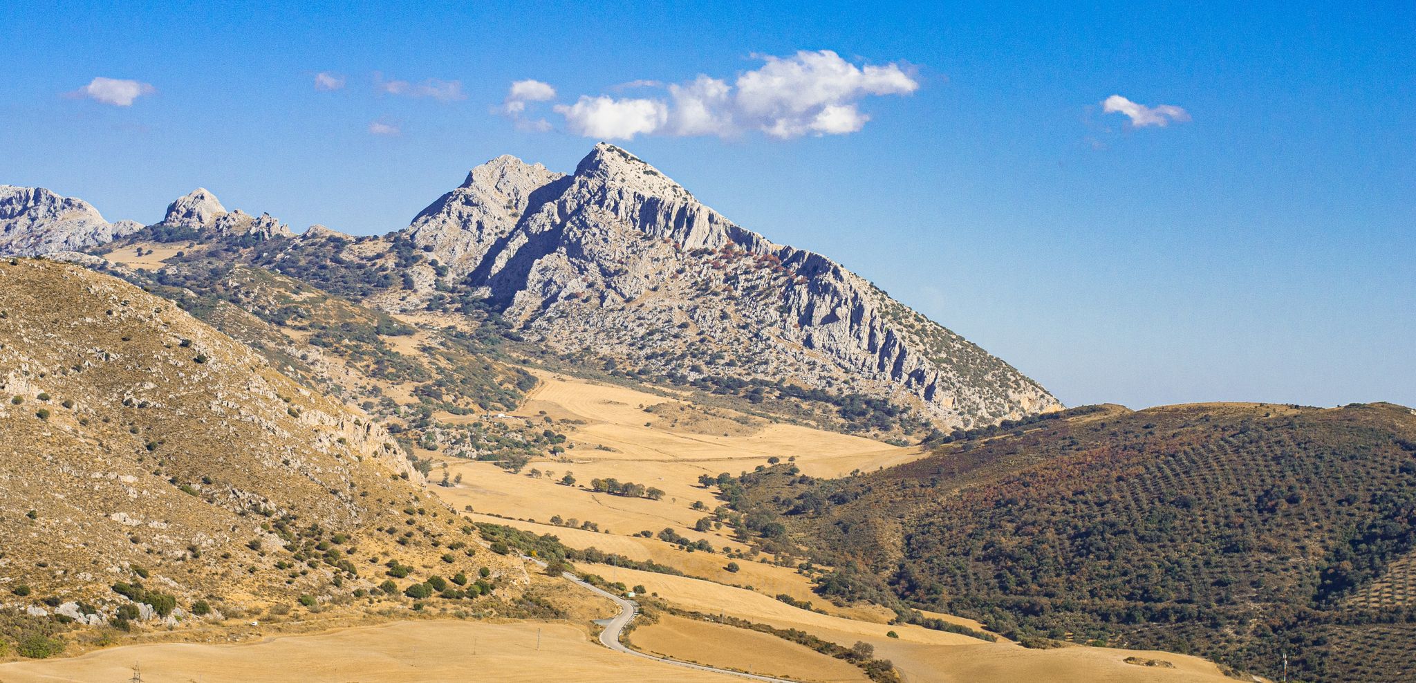
The beauty of the Andalusian mountains – Transandalus southern section

Explore the Betic Mountains on two wheels – Altravesur

Andalusia without limits – Tarifa to La Puebla de Don Fabrique on the GR 7
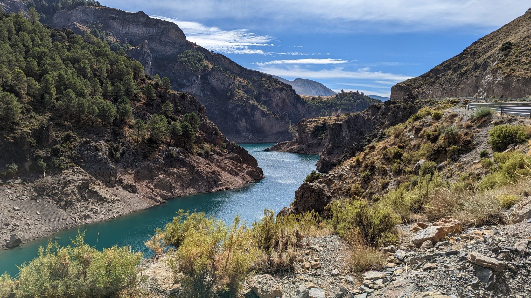
A journey through the Spanish hinterland – cycling across Andalusia

Hike between sea and mountains — Gran Senda de Málaga (GR 249)
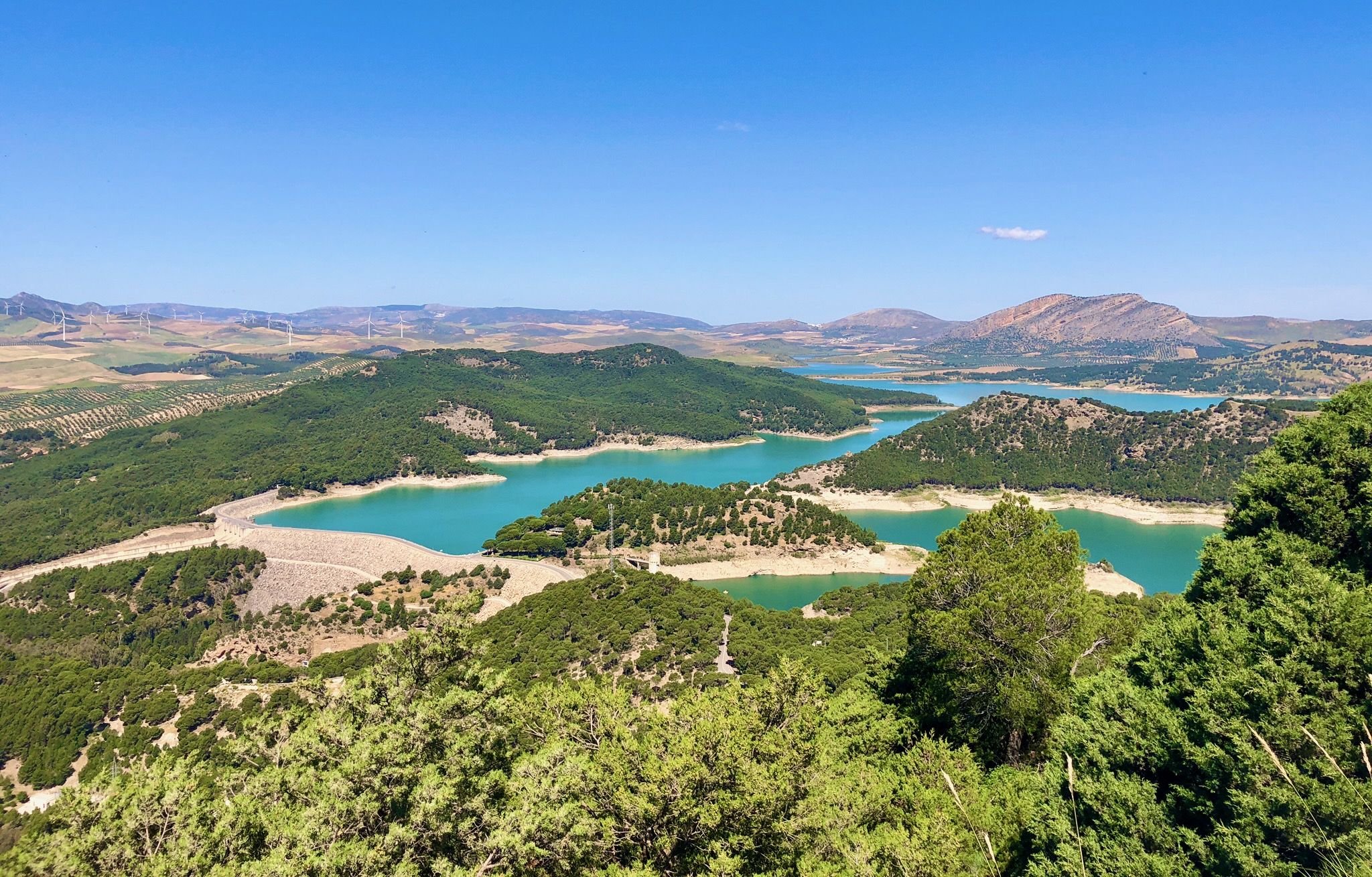
Seven days walking along the Gran Senda de Málaga (GR 249)
Hiking around Norte O Antequera
Road Cycling Routes around Norte O Antequera
Other adventures around Norte O Antequera


Tips from the Community

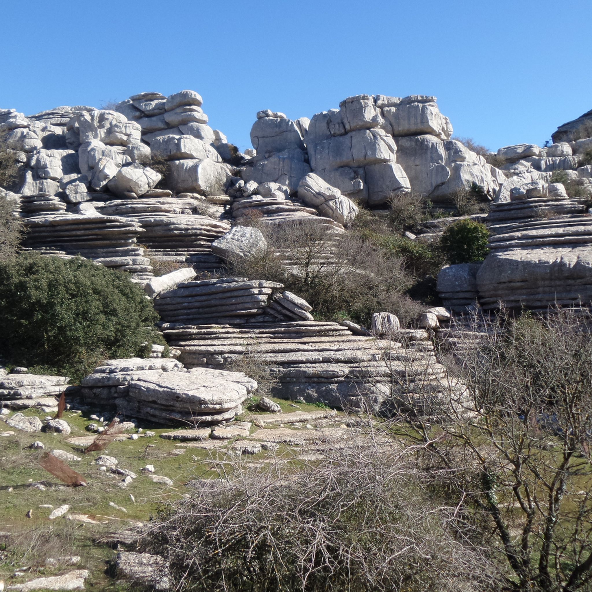
At the end of the steady climb, where a sign reads El Torcal, you reach the pass, which runs along the western edge of the mountain range of the same name. Just a few kilometers further on, a separate road branches off to the El Torcal de Antequera Natural Park and its visitor center. From here, a sweeping view opens up across the surrounding mountain ranges. The pass lies directly on the main road connecting Antequera and Villanueva de la Concepción, making it a prominent landmark. Many mistake it for the natural park itself, but it actually marks the highest point of the road on the edge of the impressive karst mountains.
1
0
The Puerto de El Torcal is the highest point on the road that leads from Villanueva de la Concepción up to Antequera (Carretera de Málaga a Antequera por Villanueva de la Concepción). At the end of the steady climb, where a sign reading El Torcal stands, you reach the pass, which runs along the western edge of the mountain range of the same name. Just a few kilometers further, a separate road branches off to the El Torcal de Antequera Natural Park and its visitor center. From here, a sweeping view of the surrounding mountain ranges opens up. The pass is located directly on the main road between Antequera and Villanueva de la Concepción and is therefore a prominent feature in the landscape. Many mistake it for the natural park itself, but it actually marks the highest point of the road at the edge of the impressive karst mountain range.
1
0
Puerto de El Jaral is not only a geographical crossing, but also a quiet viewpoint where the tranquility of nature and the wide view over the Mediterranean landscape combine – a characteristic destination for cyclists and nature lovers alike.
4
0

End of the El Jaral Port 692m
1
0

The Puerto de los Alazores is a mountain pass in the Sierra de San Jorge, in the province of Granada, close to the border with Málaga. This pass is located in the Cordillera Penibética and is approximately 1040 metres high. This pass was an important route in the past, especially during the journeys between Granada and Málaga. According to some sources, Ferdinand II of Aragon crossed here in 1487 to conquer Vélez-Málaga. In the area around the pass there are different types of trees, such as the pino carrasco, elms and pino resinero. It is also the place where the Guadalhorce River rises.
7
0


switch back climb from the north is well paved and hot hot hot! great views
0
0

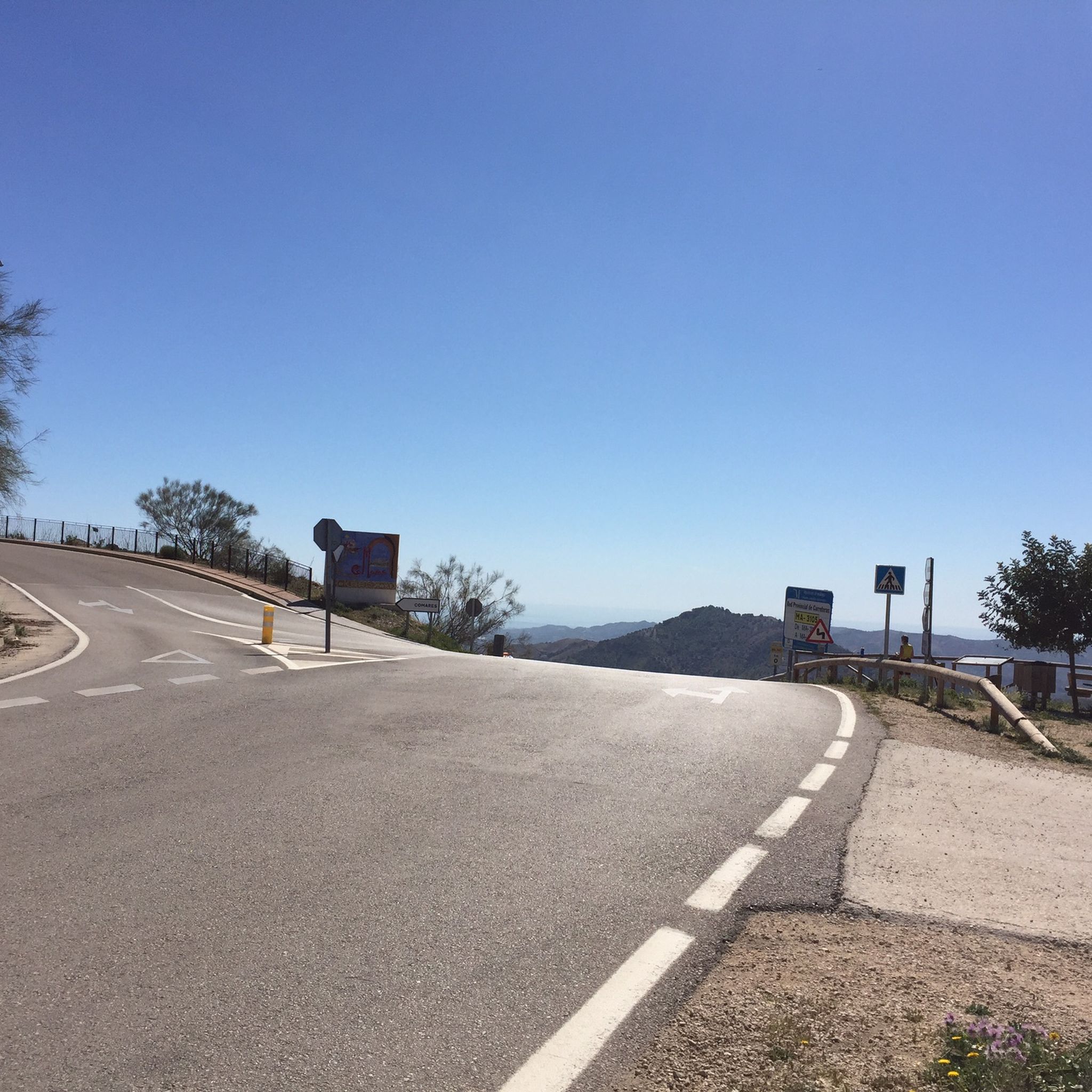
Tough climb: gradient is consistently at or above 8%, with switchbacks not really bringing much relief. The views though, on the Axarquia valley, are stunning all the way to the summit, providing some distraction from the slow grinding. Pretty exposed climb, don't expect much shelter from the sun
1
0
Frequently Asked Questions
What unique natural features can I expect to see at the mountain passes around Norte O Antequera?
The region is renowned for its diverse landscapes. A standout is the area around El Torcal, which is close to the extraordinary El Torcal de Antequera Natural Park. This park features surreal limestone karst formations, sculpted over millions of years into fascinating shapes, offering a truly unique geological spectacle. From various passes, you can also enjoy sweeping panoramic views of the surrounding Andalusian countryside and mountain ranges.
Are there any mountain passes with historical significance in the Norte O Antequera region?
Yes, Puerto de los Alazores is a mountain pass with a rich history. Located in the Sierra de San Jorge, it was historically an important route connecting Granada and Málaga. It's even noted that Ferdinand II of Aragon crossed here in 1487 during his conquest of Vélez-Málaga.
What kind of views can I expect from the mountain passes in Norte O Antequera?
Many passes offer spectacular vistas. From Puerto del Sol (1085 m), you can enjoy stunning views of the Axarquia valley all the way to the summit. El Torcal provides a sweeping view across the surrounding mountain ranges. Additionally, Puerto de la Escaleruela Viewpoint offers a spectacular view of the city of Antequera and the entire valley.
Are there challenging climbs for cyclists or hikers in the mountain passes of Norte O Antequera?
Absolutely. Puerto del Sol (1085 m) is known for its tough, consistent gradient often at or above 8%, with switchbacks that offer little relief, making it a challenging climb for cyclists. The area generally offers a variety of challenging climbs for those seeking a demanding experience.
Are there family-friendly options for exploring the mountain passes around Norte O Antequera?
While some passes involve challenging climbs, the area around El Torcal, which is a prominent mountain pass, is adjacent to the El Torcal de Antequera Natural Park. This park offers several well-marked hiking trails of varying lengths and difficulties, including shorter, easier options (like a 1.5 km green trail) that can be suitable for families to explore its unique geological formations.
What outdoor activities can I do near these mountain passes?
The region offers a wide range of outdoor activities. You can find numerous road cycling routes, such as the 'Ascent to Torcal de Antequera from Antequera' or 'Puerto de Sabar – circular by the villages of Axarquía'. For mountain biking, explore trails like 'La Fuente de los 100 Caños' or 'Laguna de Fuente de Piedra'. There are also general cycling routes, including 'Paraje Natural Torcal de Antequera – circular from Antequera'. You can find more details on these activities in our dedicated guides for Road Cycling, MTB Trails, and Cycling around Norte O Antequera.
Are there hiking trails near the mountain passes in Norte O Antequera?
Yes, particularly around the El Torcal pass. The nearby El Torcal de Antequera Natural Park features several well-marked hiking trails, ranging from easy to more challenging, allowing visitors to immerse themselves in the geological wonders. While specific hiking trails directly on other passes might vary, the broader region offers many opportunities for walking and exploring.
What do visitors enjoy most about the mountain passes around Norte O Antequera?
Visitors frequently praise the stunning scenery and the unique geological formations, especially around El Torcal. The challenging climbs, like those at Puerto del Sol (1085 m), are appreciated by cyclists for their rewarding views. The tranquility and wide views over the Mediterranean landscape, as found at ⭐ Puerto de El Jaral, are also highly valued by nature lovers.
Is there parking available at the mountain passes or nearby trailheads?
For prominent areas like El Torcal de Antequera Natural Park, which is accessible via the El Torcal pass, there is a visitor center with parking facilities. For other passes, parking availability can vary, often found at viewpoints or designated pull-offs along the main roads.
What is the best season to visit the mountain passes in Norte O Antequera?
The Antequera region generally enjoys a Mediterranean climate. Spring (March to May) and autumn (September to November) are often considered ideal, offering pleasant temperatures for outdoor activities like hiking and cycling. Summers can be very hot, especially at exposed passes like Puerto del Sol (1085 m), while winters are milder but can bring cooler temperatures and occasional rain.
Can I find cafes or refreshments near the mountain trails and passes?
Near popular attractions like the El Torcal de Antequera Natural Park (accessed via the El Torcal pass), you will typically find a visitor center that may include a cafe or facilities for refreshments. In more remote pass areas, options might be limited, so it's advisable to carry your own supplies or check for amenities in nearby towns before heading out.
Are there any circular walks or routes available in the Antequera mountain region?
Yes, the region offers several circular routes. For cycling, you can find options like 'Ascent to Torcal de Antequera from Antequera – circular through the white villages' or 'Laguna de Fuente de Piedra – circular tour'. Within the El Torcal de Antequera Natural Park, there are also marked circular hiking trails of varying lengths. You can explore these and more in our Road Cycling, MTB Trails, and Cycling guides for Norte O Antequera.
Most popular routes around Norte O Antequera
Most popular attractions around Norte O Antequera

Get inspired with the komoot mobile app


Didn’t find what you were looking for?
Find even more amazing mountain passes around Norte O Antequera organized by region:
Explore more
See even more epic mountain passes by checking out these guides around Norte O Antequera:
