Top 14 Natural Monuments around Barco Avila-Piedrahita
Natural monuments around Barco Avila-Piedrahita, nestled within the province of Ávila, Spain, offer diverse landscapes. The Tormes River valley and the Sierra de Gredos mountain range are central to the area's natural beauty, featuring majestic peaks, glacial lagoons, and impressive gorges. These natural formations provide opportunities for outdoor recreation and connection with the region's natural essence.
Best natural monuments around Barco Avila-Piedrahita
- The most popular natural monuments is Garganta de la Nava, a gorge that offers views of rock…
Last updated: July 6, 2026
Canchal de la Ceja
Highlight • Summit
Translated by Google •
Tip by

Garganta de la Nava
Highlight (Segment) • Gorge
Translated by Google •
Tip by

Sign up now to discover places like this
Get recommendations on the best single tracks, peaks, & plenty of other exciting outdoor places.
Sign up for free
Calvitero Peak (2,397 m), Sierra de Béjar
Highlight • Summit
Translated by Google •
Tip by

Laguna de la Nava
Highlight • Lake
Translated by Google •
Tip by
Laguna de los Caballeros
Highlight • Lake
Translated by Google •
Tip by

Viewpoint of the Puerto de Tornavacas
Highlight • Viewpoint
Translated by Google •
Tip by
Laguna del Duque
Highlight • Lake
Translated by Google •
Tip by
Cirque of Laguna del Barco
Highlight • Lake
Translated by Google •
Tip by

Trampal Lagoons
Highlight • Lake
Translated by Google •
Tip by
Serrota
Highlight • Summit
Translated by Google •
Tip by

Sign up for free to discover even more natural monuments around Barco Avila-Piedrahita.
Sign up for free
Already have an account?
Start today with a free account
Your next adventure awaits.
Login or Signup
Popular around Barco Avila-Piedrahita

Height Challenges — Ports in Castilla y León
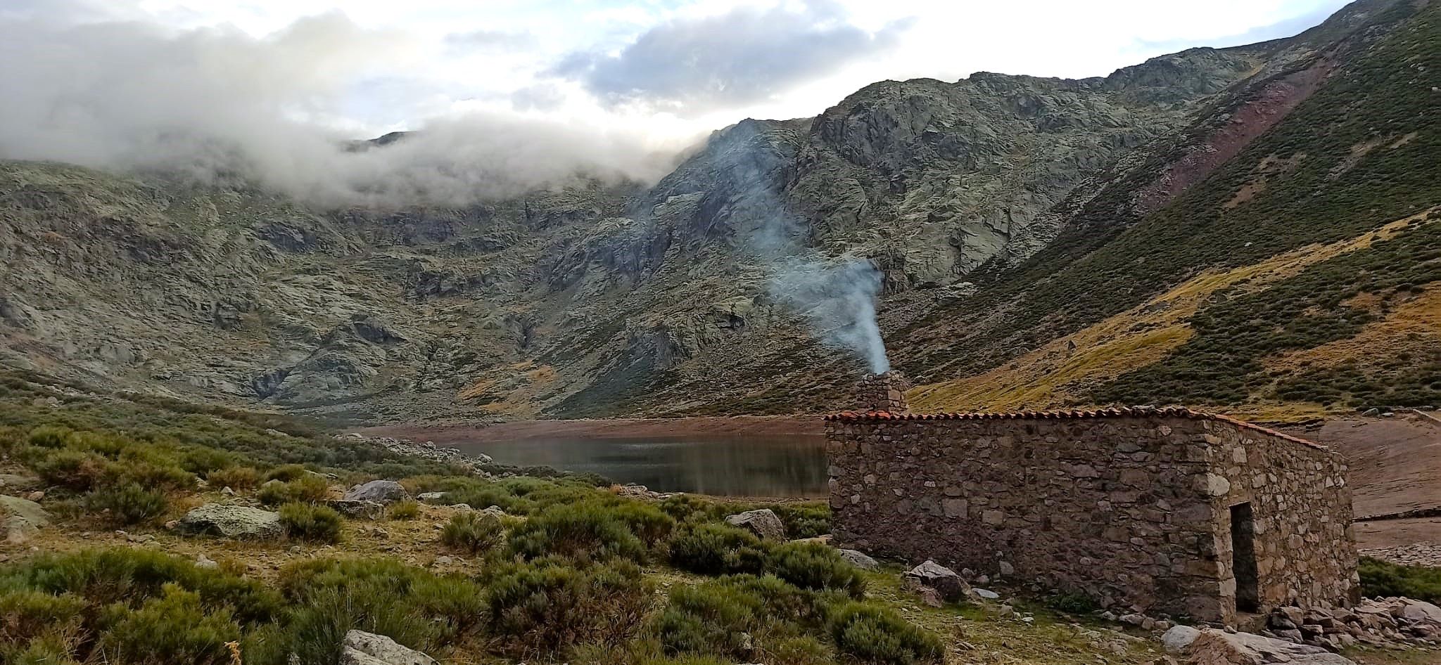
Between lagoons and goat paths – hike in Spain’s Gredos Mountains
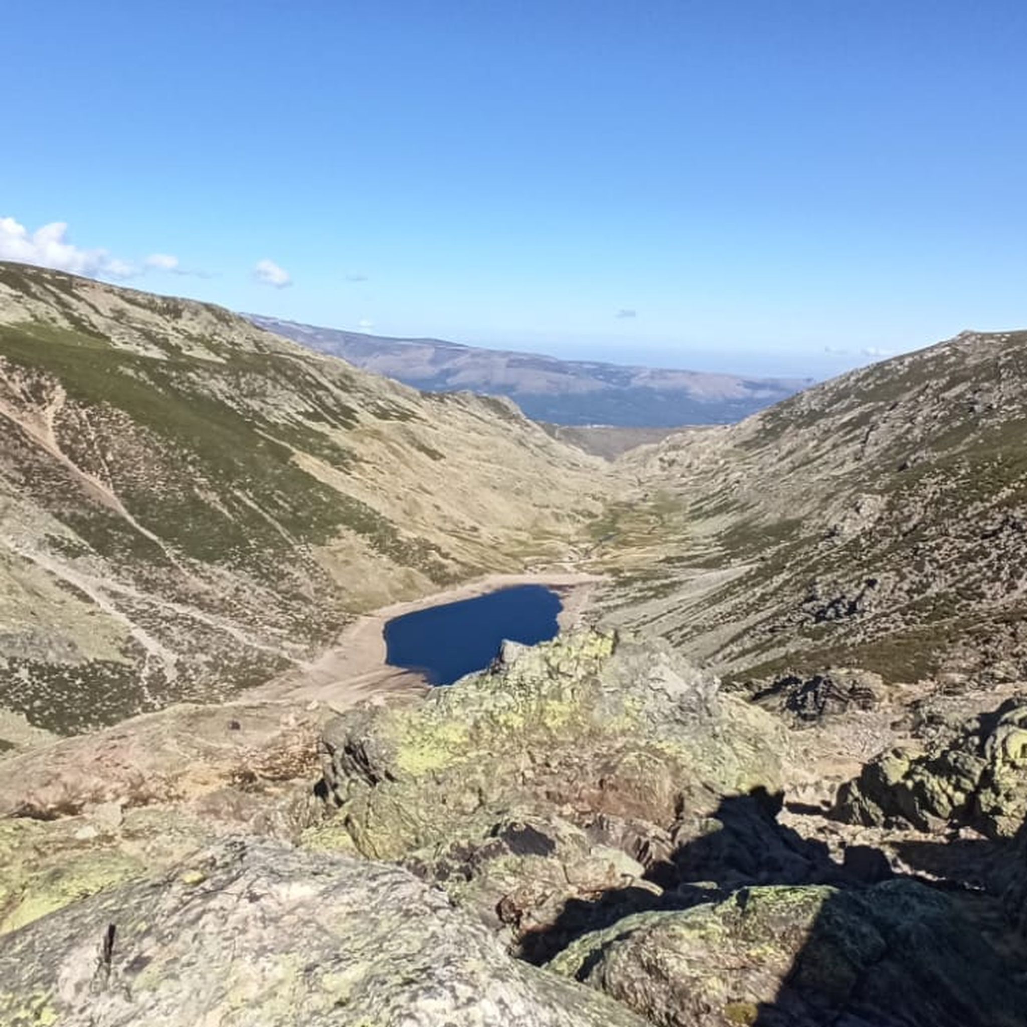
Hiking around Barco Avila-Piedrahita
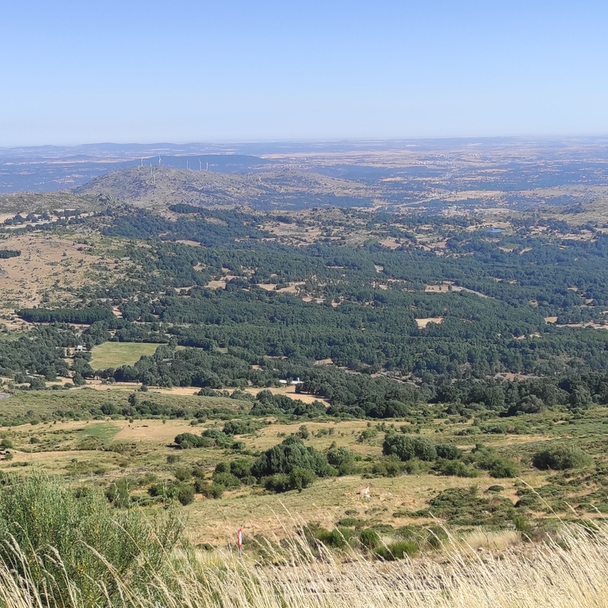
Road Cycling Routes around Barco Avila-Piedrahita
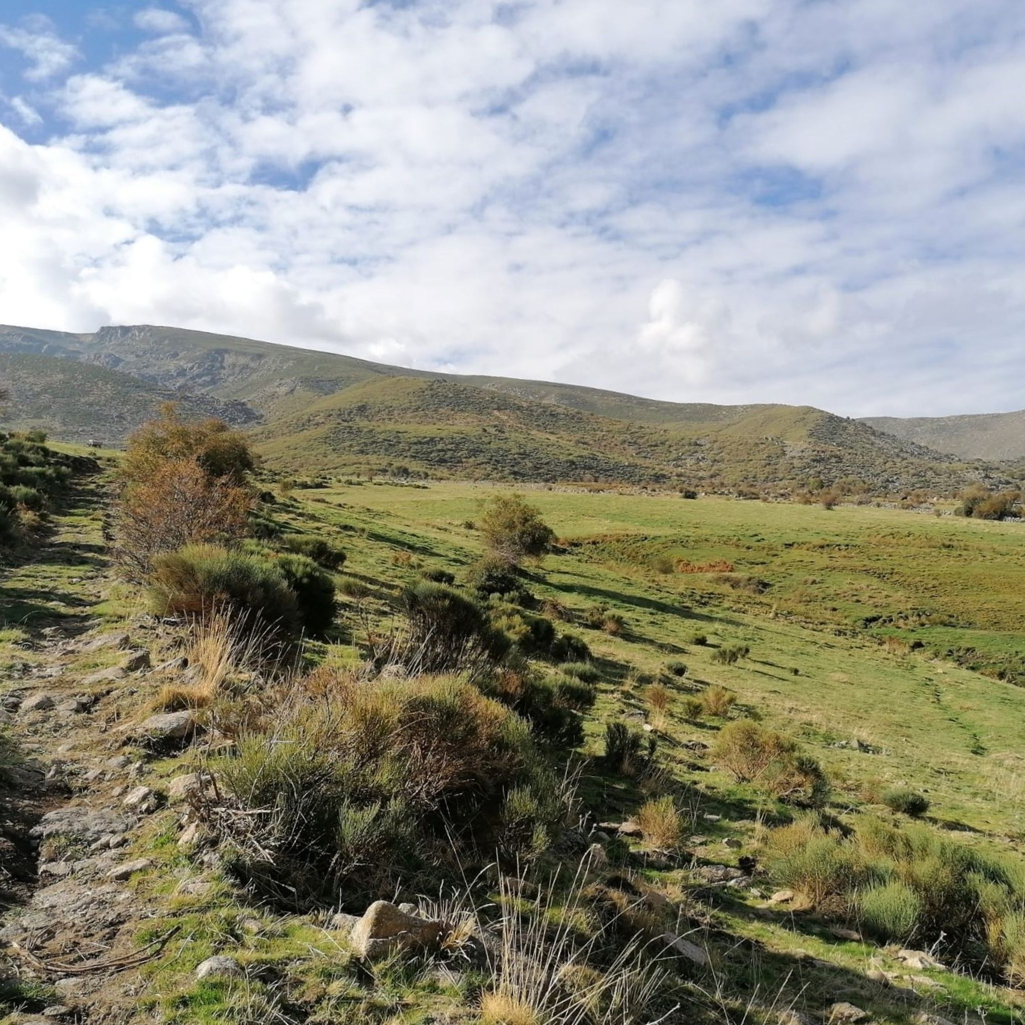
MTB Trails around Barco Avila-Piedrahita
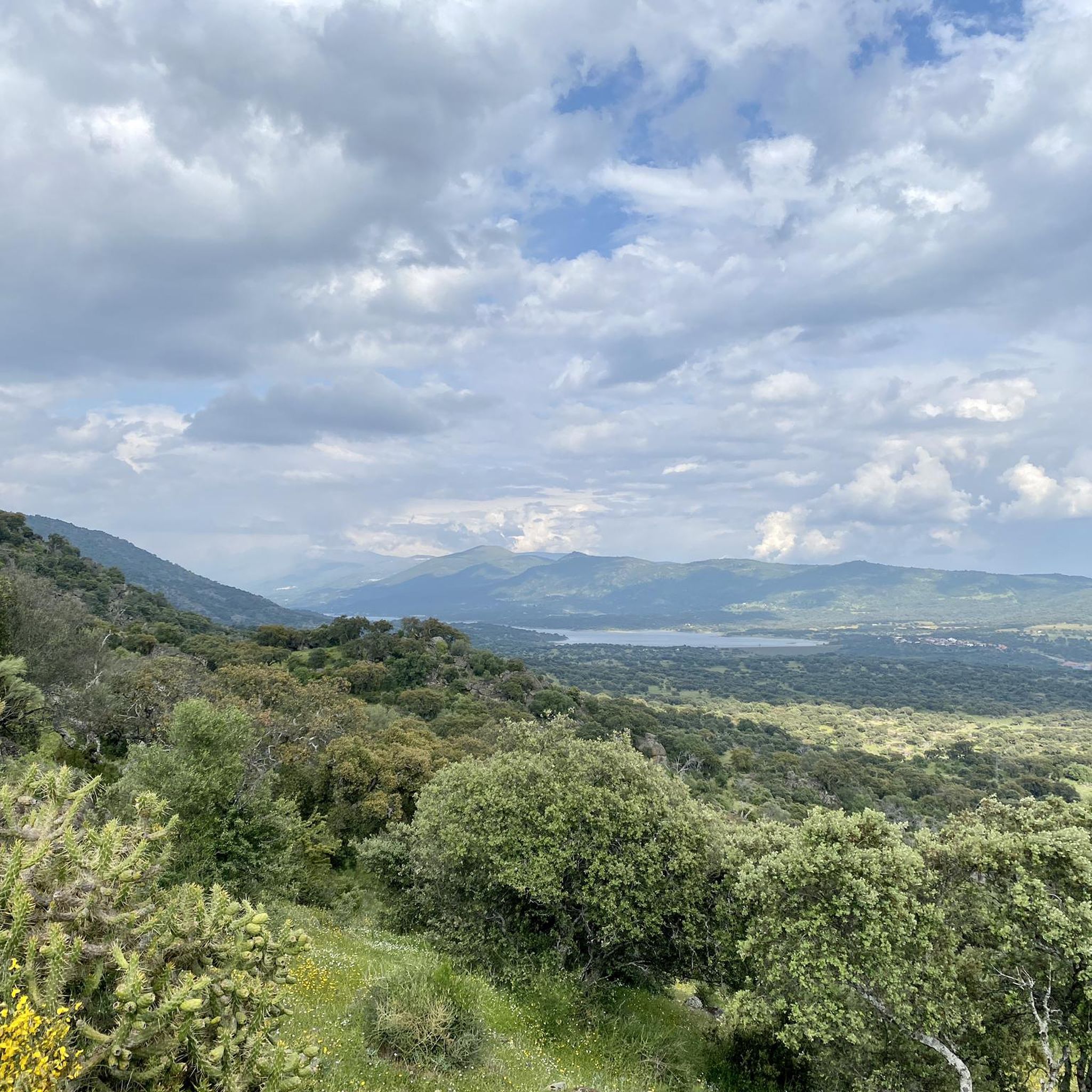
Running Trails around Barco Avila-Piedrahita
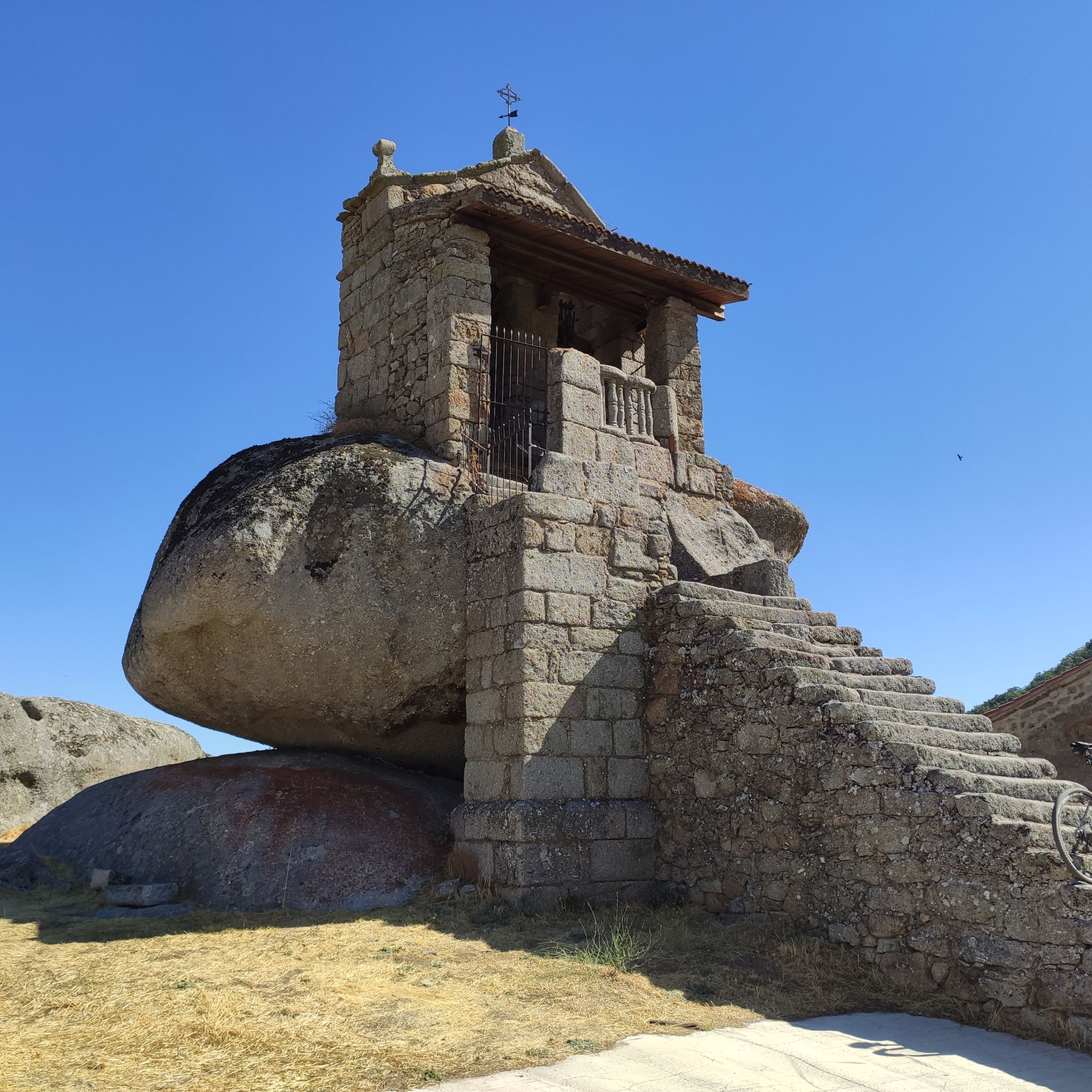
Cycling around Barco Avila-Piedrahita

Mountain Hikes around Barco Avila-Piedrahita

Gravel biking around Barco Avila-Piedrahita


Tips from the Community

This is one of the best-known mountain passes in the Sierra de Gredos area and is also important as it separates the two most important basins in the Iberian Peninsula, the Duero and the Tagus.
0
0
This lagoon is curious with respect to the rest since normally, glacial cirques tend to take a direction perpendicular to the ridge of the mountain, that is to say they descend in a north or south direction. This one, however, does it in an east direction, with the Covacha del Losar as the highest part!
0
1
The Serrota is a mountain that reaches 2,292 meters in height, which means that you need to watch the time of its ascent, where the snow covers the area completely with low temperatures.
1
0

In the final stretch of the ascent, milestones appear in several places and the best option is to find the optimal path according to the moment, the mountain conditions and personal taste. The geodesic vertex is visible long before you arrive, it is placed on a tower of rocks and the views are extraordinary, practically covering the entire Central System, from the Sierra de Guadarrama to the peaks of Las Batuecas and the distant Sierra de Gata. Below the channels that form the sources of Corneja and Adaja and a little further on is the valley of the highest Alberche, when it is not yet a river in the páramos of San Martín de la Vega del Alberche.
0
0

Another of the most important peaks of the Sierra de Candelario Park, the Calvitero rises above 2400 meters above sea level, offering wonderful panoramic views worthy of a postcard.
2
0
Beautiful place! The. Lagunas del Trampal are 3 lakes of glacial origin within the Sierra de Gredos Park and worth visiting, the landscape is wonderful at any time of the year.
1
1
It is the highest peak in the province of Salamanca at 2,427 meters above sea level. The views are amazing but to get here you will have to make a significant physical effort since the journey is very demanding. Remember that the important thing is to enjoy the road and this beautiful landscape.
2
0
Located at 1,275 meters above sea level, it is recognized as a historic mountain pass in the Sierra de Gredos and represents the physical division point of the Duero and Tagus basins. This site has been the passage of several civilizations. over the centuries and represents a site of great historical importance for the area.
1
1
Frequently Asked Questions
What kind of natural features can I expect to see around Barco Avila-Piedrahita?
The region is rich in diverse natural features, including majestic mountain peaks, impressive granite gorges, and serene glacial lakes. You can explore places like Garganta de la Nava with its striking rock formations and waterfalls, or discover the high-altitude beauty of glacial lakes such as Laguna de la Nava.
Are there challenging natural monuments for experienced hikers or climbers?
Yes, the region offers several challenging natural monuments. For instance, Canchal de la Ceja is the highest mountain in the Sierra de Béjar and Salamanca province, offering a rewarding experience for mountaineers. Another challenging summit is Calvitero Peak (2,397 m).
What outdoor activities can I do near these natural monuments?
The area is ideal for various outdoor activities. You can find numerous hiking trails, including routes to glacial lakes like the Laguna del Duque Trail. For cycling enthusiasts, there are gravel biking and mountain biking routes available. You can explore more options on the Hiking around Barco Avila-Piedrahita, Gravel biking around Barco Avila-Piedrahita, and MTB Trails around Barco Avila-Piedrahita guide pages.
Are there any natural monuments with historical significance?
While primarily natural, some sites offer a touch of history. The Viewpoint of the Puerto de Tornavacas is a mountain pass that also holds historical significance. Additionally, the region research mentions El Pozo de las Paredes, which features a well-preserved small Roman bridge, adding a historical element to its natural beauty.
What do visitors enjoy most about the natural monuments in this region?
Visitors frequently appreciate the stunning alpine scenery, the impressive rock formations, and the tranquility of the glacial lakes. The adapted stone walkway along Garganta de la Nava is particularly popular for its accessibility and views, while the clear waters of lakes like Laguna de la Nava are often highlighted for their reflective beauty.
Are there any family-friendly natural monuments or accessible paths?
Yes, Garganta de la Nava features an adapted stone walkway that zigzags along the gorge, making it more accessible for a wider range of visitors, including families. The region research also points to El Pozo de las Paredes as an ideal place for a day out with family or friends, known for its pristine natural beauty and clear waters.
Can I find glacial lakes in the Barco Avila-Piedrahita region?
Absolutely. The Sierra de Gredos is home to several beautiful glacial lakes. Besides Laguna de la Nava, you can also visit Laguna de los Caballeros, situated in a stunning glacial cirque, and Laguna del Duque, which is the biggest lake in the Sierra de Gredos national park.
What are some less-known or 'hidden' natural gems in the area?
While popular spots are well-loved, the region also offers less-frequented but equally beautiful locations. The Cirque of Laguna del Barco offers a challenging yet rewarding experience with stunning lake views. Additionally, the Trampal Lagoons provide another beautiful, albeit challenging, natural monument to explore.
What is the best time of year to visit the natural monuments?
The best time to visit largely depends on your preferred activity. Spring and early summer (May to July) offer pleasant temperatures for hiking and enjoying the lush landscapes. Autumn (September to October) provides beautiful fall colors. For those interested in snowfields or more challenging winter sports, late winter and early spring might be suitable, especially for higher peaks like Canchal de la Ceja, but always check weather conditions.
Are there opportunities for wildlife spotting near the natural monuments?
The diverse ecosystems of the Tormes River valley and the Sierra de Gredos provide habitats for various wildlife. While specific spotting locations are not detailed, the natural and undisturbed environments of these monuments, particularly around the lakes and gorges, offer potential for observing local fauna. Keep an eye out for birds of prey in the mountains and various species near the water sources.
Are there any natural monuments that offer panoramic views?
Many of the natural monuments in the region provide spectacular panoramic views. Summits like Canchal de la Ceja and Serrota are renowned for their expansive vistas. Additionally, viewpoints such as the Viewpoint of the Puerto de Tornavacas offer commanding perspectives of the surrounding mountain ranges and valleys.
Most popular routes around Barco Avila-Piedrahita
Most popular attractions around Barco Avila-Piedrahita

Get inspired with the komoot mobile app


Didn’t find what you were looking for?
Find even more amazing natural monuments around Barco Avila-Piedrahita by checking out the top Highlights region by region:
Explore more
Extend your search for the best caves by checking out these guides of the top ones around Barco Avila-Piedrahita:
