Top 4 Natural Monuments around Aucey-La-Plaine
Natural monuments around Aucey-La-Plaine are characterized by their natural waterways and proximity to the Bay of Mont Saint-Michel. This commune in Normandy, France, is situated near the Couesnon River, which forms a significant natural boundary and flows into the bay. The area also features the Loison River and is close to important ecological sites like the Réserve Naturelle Régionale du Marais de Sougeal. The landscape offers views of the iconic Mont Saint-Michel, highlighting the interplay between land and sea.
Best…
Last updated: July 4, 2026
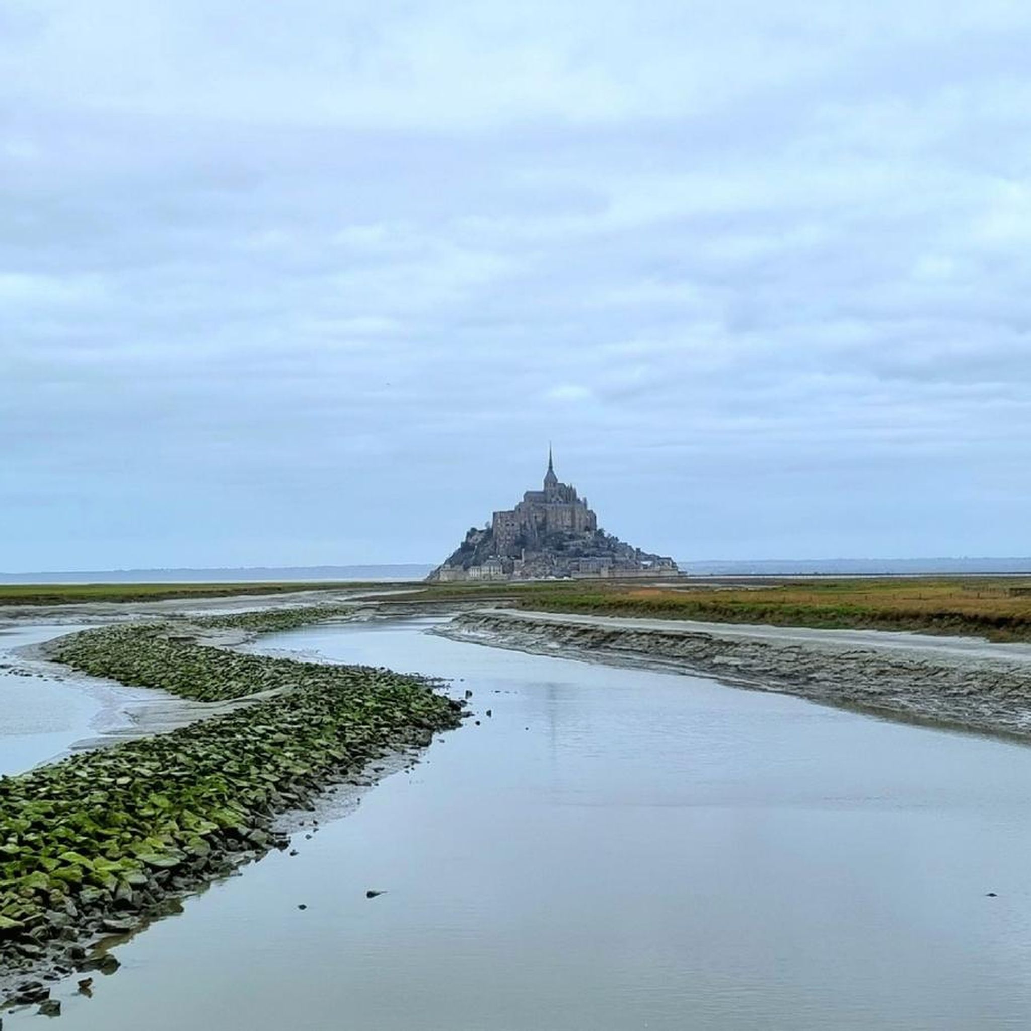
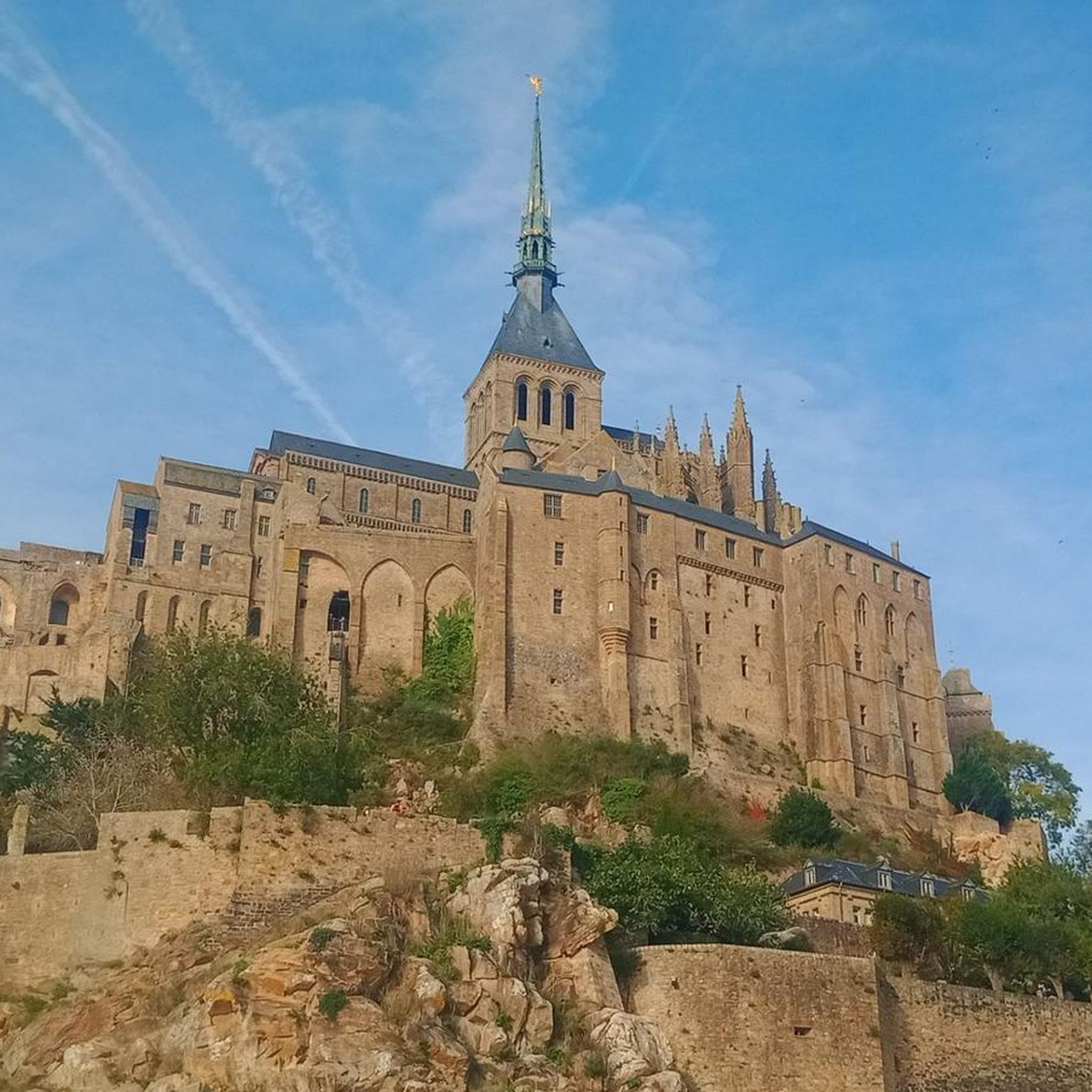
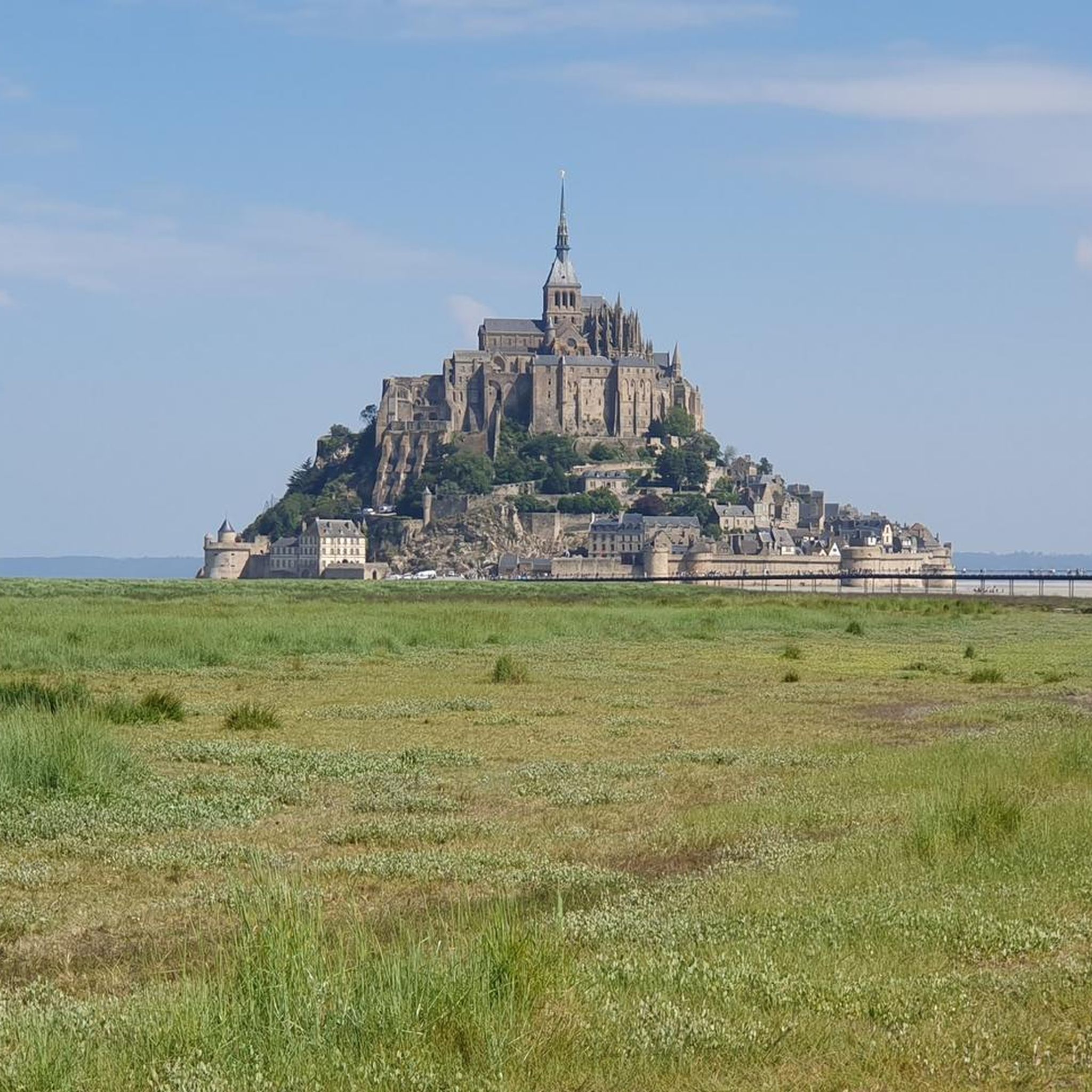
View of Mont Saint-Michel
Highlight • Viewpoint
Translated by Google •
Tip by

Sélune Estuary
Highlight (Segment) • River
Tip by

Sign up now to discover places like this
Get recommendations on the best single tracks, peaks, & plenty of other exciting outdoor places.
Sign up for free
Saint-Benoît Polishing Stone
Highlight • Monument
Translated by Google •
Tip by

Start today with a free account
Your next adventure awaits.
Login or Signup

Tips from the Community

Parts of the route along the sea do not exist or are forbidden for bicycles
0
0

So peaceful. Soon you will be among the crowds visiting this iconic location but for now, it is just you and the moutons.
0
0

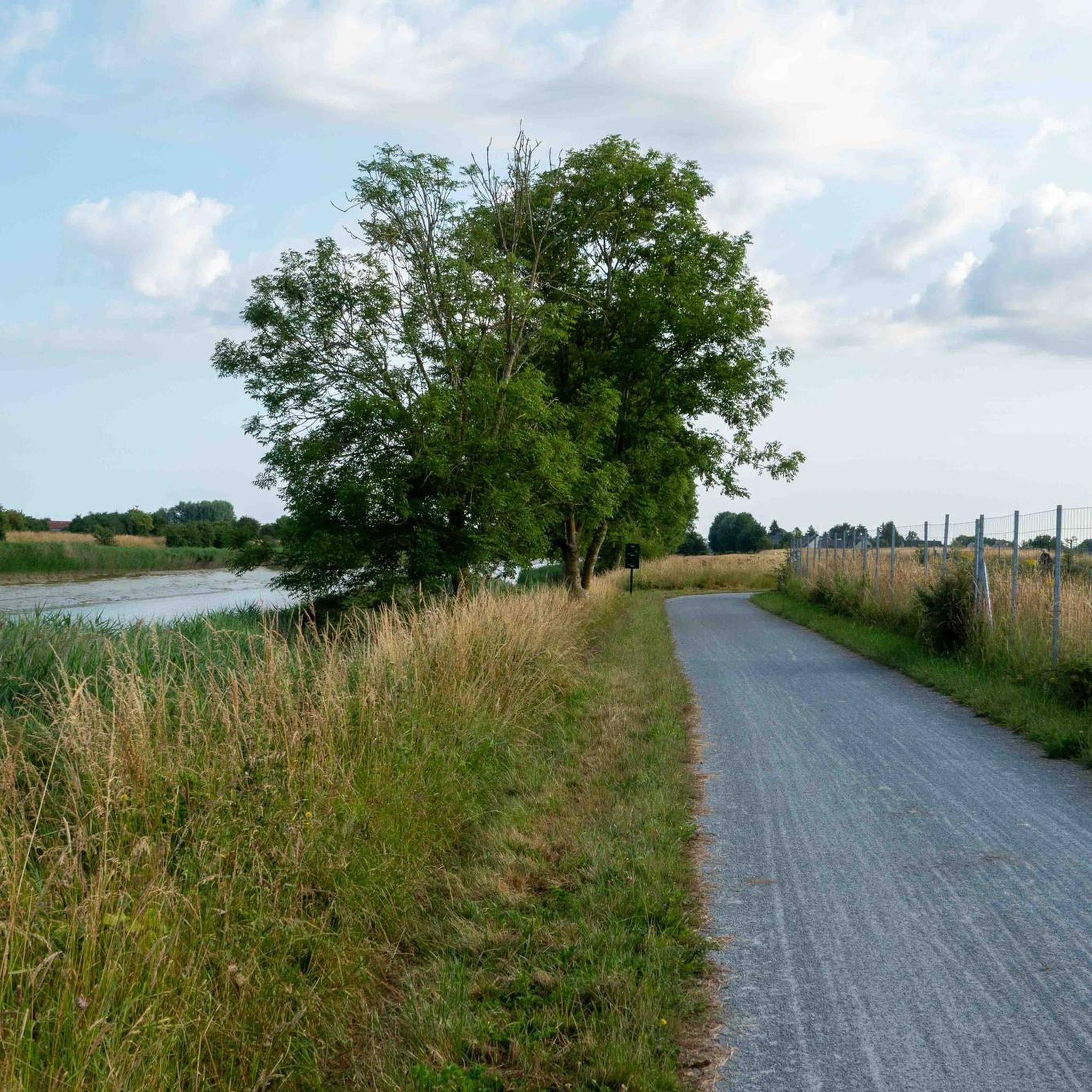
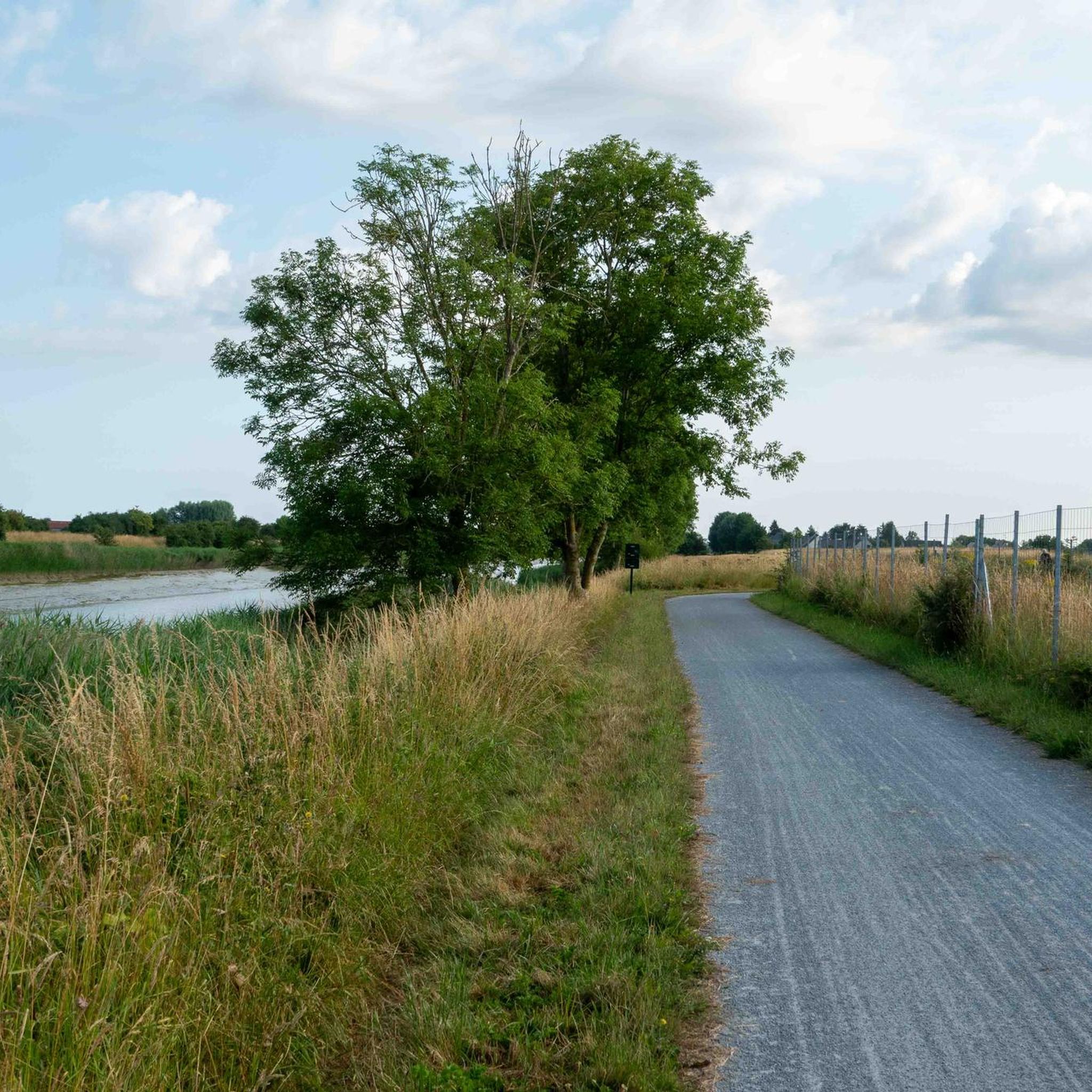
Cycle route along the Sélune estuary with a view of Mont St Michel
0
0

The route is composed of a quiet road, with a gravel cycle track alongside, for those who don't want to worry about cars.
0
0

It seems that sheep are often grazing in these salt meadows facing Mt. It is therefore a good spot for a rather emblematic photo of the bay of Mont St Michel.
0
0
This polisher, dating from around 4,000 BC, is a quartz block of modest size, 1.25 m by 0.50 m, barely level with the grass. On its surface, there are a dozen parallel grooves and a basin. The bowl was used to polish flints and the grooves to sharpen the edges of axes. Excavations have uncovered polished axes, one of which is jade. The place is also called "Pierre de Saint-Benoît". Because according to one of the legends attached to this monument, it would be Saint Benedict petrified: the pink veins that run through the block would be the veins of the saint and the grooves his ribs. The water in the basin is said to have curative and febrifuge properties: feverish people came on pilgrimage, sprinkled themselves with this water and placed offerings in the grooves, hoping for the cure of their ailments. It is reached by a little busy and very pleasant little road.
0
0


At this place the view of Mont-Saint-Michel is majestic. We can see the new footbridge connecting the Mont to the shore, with the comings and goings of the shuttles. I recommend making a small detour of a few hundred meters to Ardevon. The view of the Mount is then unusual; one has the impression that it is built in the village.
2
0
Frequently Asked Questions
What are the key natural features to explore around Aucey-La-Plaine?
Aucey-La-Plaine is characterized by its significant waterways and proximity to the iconic Mont Saint-Michel Bay. Key natural features include the Couesnon River, which forms a natural boundary and flows into the Bay, and the Loison River. The region is also known for its marshy areas and the unique estuarine environment of the Bay of Mont Saint-Michel itself, offering dramatic views and diverse ecosystems.
Are there family-friendly natural monuments in the area?
Yes, several natural monuments around Aucey-La-Plaine are suitable for families. The View of Mont Saint-Michel offers a majestic perspective that children and adults alike will appreciate. The Sélune Estuary provides a pleasant setting for walks or bike rides, often with views of Mont Saint-Michel. Additionally, the Saint-Benoît Polishing Stone, with its ancient history and local legends, can be an intriguing stop for curious minds.
What kind of outdoor activities can I do near these natural monuments?
The area around Aucey-La-Plaine is excellent for various outdoor activities. You can enjoy hiking along the rivers and through the marshlands, with routes like 'Beautiful avenue – Large Cornfield loop from Pontorson' being an easy option. Cycling is also popular, especially along the Sélune Estuary, which offers a dedicated gravel cycle track. For more detailed routes, explore the hiking guide or the gravel biking guide for Aucey-La-Plaine.
Where can I go for wildlife spotting?
For wildlife spotting, the Réserve Naturelle Régionale du Marais de Sougeal, located about 14 km south of the Mont-Saint-Michel Bay, is a crucial site. This protected wetland is a significant stopover for numerous migratory birds, including ducks, teals, and snipes, and is also an important breeding ground for pike. It's home to nearly 400 different species, making it a prime location for nature enthusiasts and birdwatchers.
What is the best time of year to visit the natural monuments around Aucey-La-Plaine?
Spring and early autumn are generally ideal for visiting the natural monuments. During these seasons, the weather is typically mild and pleasant for outdoor activities like hiking and cycling. Spring brings blooming flora and active migratory birds to wetlands like the Marais de Sougeal, while autumn offers beautiful colors and comfortable temperatures.
Are there any historical natural monuments in the region?
Yes, the Saint-Benoît Polishing Stone is a fascinating historical natural monument. Dating back to around 4,000 BC, this quartz block features grooves used for sharpening axes and a basin for polishing flints. Local legends also associate it with Saint Benedict, with stories of its curative properties, adding a layer of cultural history to its natural presence.
Can I find good viewpoints of Mont Saint-Michel from Aucey-La-Plaine?
Absolutely. Aucey-La-Plaine offers several excellent vantage points for viewing Mont Saint-Michel. The View of Mont Saint-Michel is a highly recommended spot. Additionally, locations along the Couesnon River, such as 'Le Couesnon à Beauvoir' and 'Belle vue sur le Mont-Saint-Michel (Barrage),' provide picturesque and wide-angle perspectives of the abbey and its bay.
What makes the Bay of Mont Saint-Michel a unique natural monument?
The Bay of Mont Saint-Michel is an outstanding natural monument primarily due to its unique tidal phenomena, which are among the most dramatic in the world. It features diverse ecosystems, including polder littoral and salty meadows (estran herbu), which support a rich biodiversity. The interplay between land and sea, combined with the panoramic views of the Mont, creates a truly distinctive natural setting.
Are there cycling routes that pass by the natural monuments?
Yes, cycling is a great way to explore the natural monuments. The Sélune Estuary has a dedicated gravel cycle track alongside a quiet road, offering scenic views. The Véloscénie cycling route also passes through the area, particularly along the Couesnon River at Beauvoir, providing excellent views of Mont Saint-Michel. You can find more cycling options in the gravel biking guide for the region.
What are the main rivers in the Aucey-La-Plaine area?
The two main rivers defining the natural landscape of Aucey-La-Plaine are the Couesnon River and the Loison River. The Couesnon River is particularly significant as it forms a natural boundary and flows into the Bay of Mont Saint-Michel, contributing to its unique estuarine environment. The Loison River is an affluent of the Couesnon, bordering the commune to the south.
Most popular routes around Aucey-La-Plaine
Most popular attractions around Aucey-La-Plaine

Get inspired with the komoot mobile app


Explore more
Extend your search for the best caves by checking out these guides of the top ones around Aucey-La-Plaine:
