Top 5 Mountain Passes around Nantes-En-Rattier
Best mountain passes around Nantes-En-Rattier are located in the Isère department of southeastern France. This region features diverse terrain, offering opportunities for cycling, hiking, and mountain biking. The landscape includes challenging ascents, forested sections, and panoramic viewpoints. It provides a variety of outdoor experiences for different skill levels.
Best mountain passes around Nantes-En-Rattier
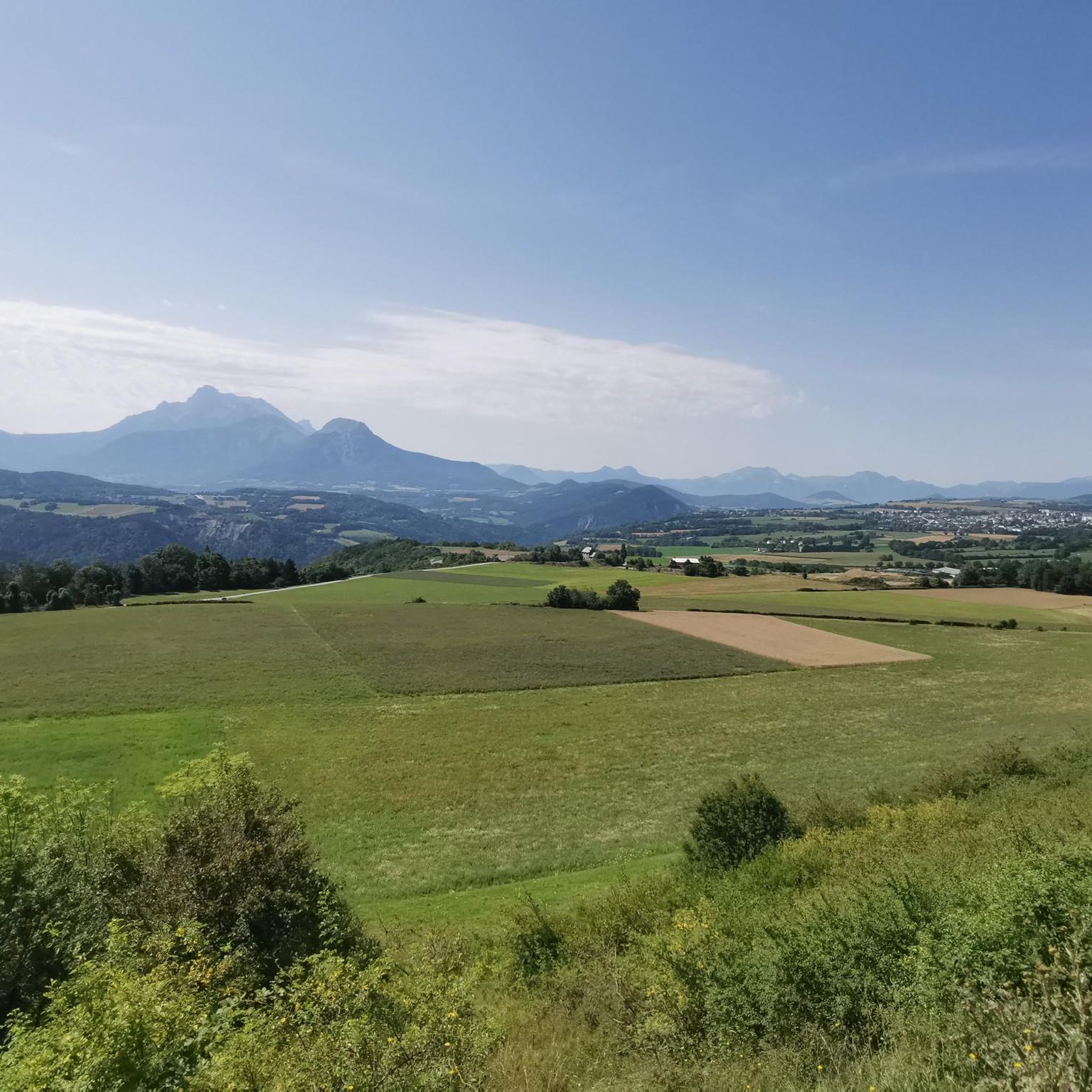
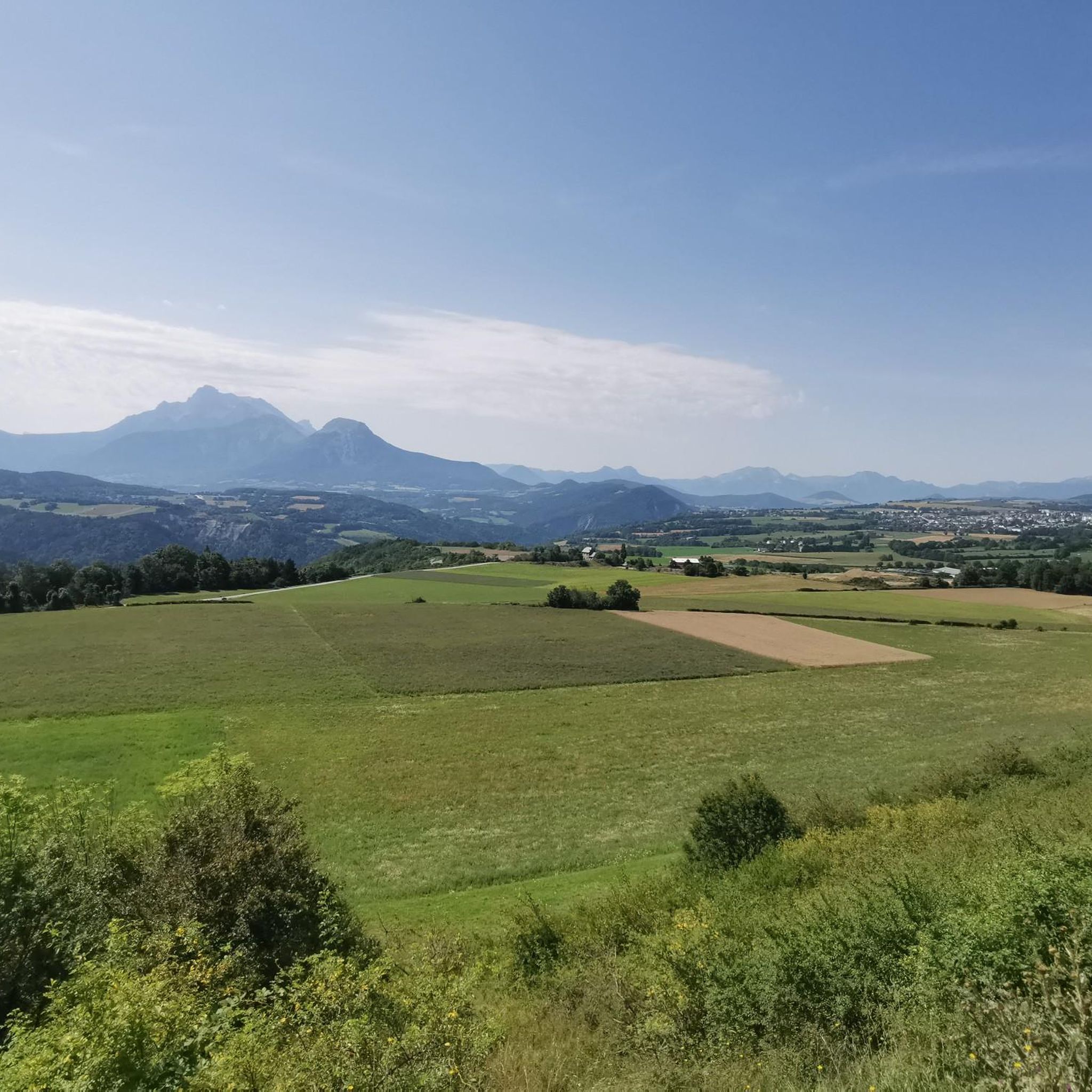
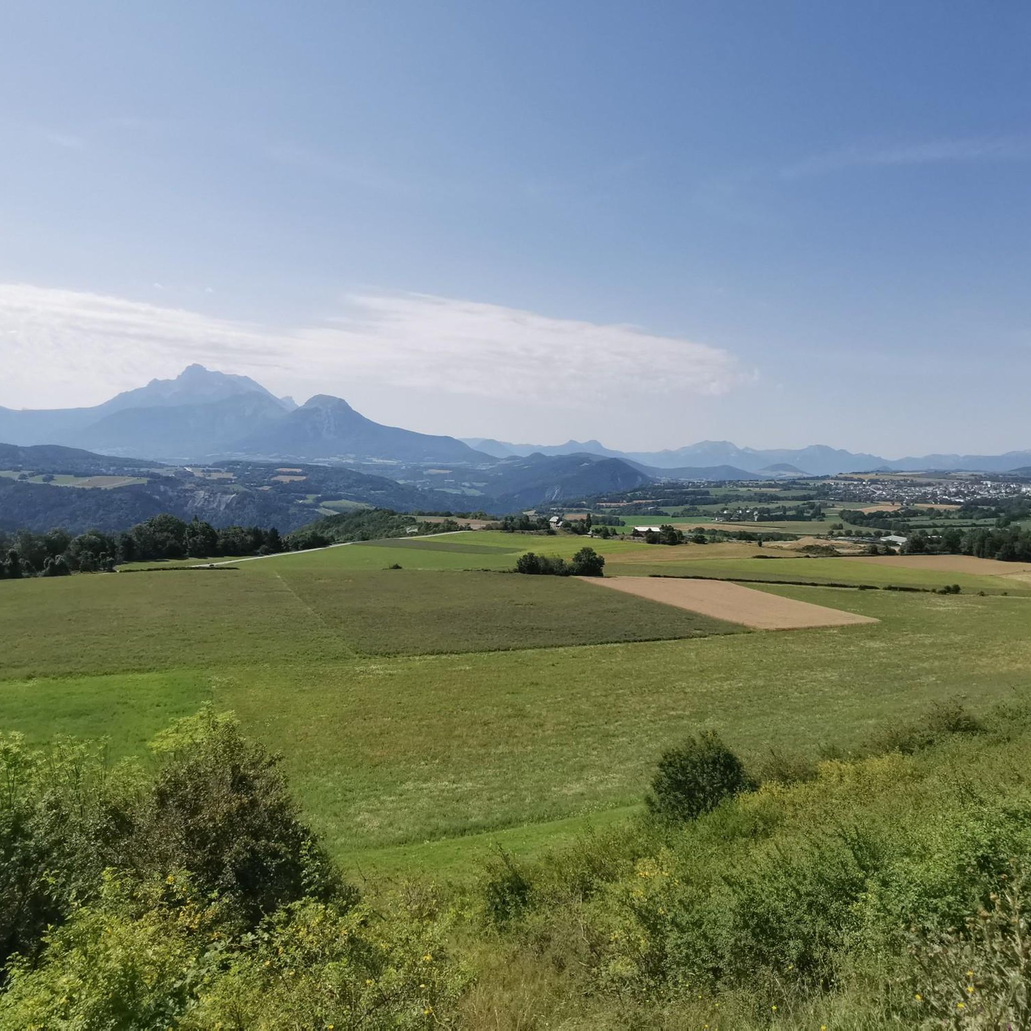
- The most popular mountain passes is Parquetout Pass, a mountain pass known for its steep gradients. It offers panoramic views of the Beaumont, Obiou, and Grand…
Last updated: July 4, 2026
Plan Collet Pass
Highlight • Mountain Pass
Departure in the Undergrowth by a forest track, it climbs well up to the …
Translated by Google •
Tip by

Col de la Morte
Highlight • Mountain Pass
A very …
Translated by Google •
Tip by

Sign up now to discover places like this
Get recommendations on the best single tracks, peaks, & plenty of other exciting outdoor places.
Sign up for free
Parquetout Pass
Highlight • Mountain Pass
Translated by Google •
Tip by

Col de l'Holme
Highlight • Mountain Pass
Translated by Google •
Tip by
Col de la Brèche Mountain Bike Trail
Highlight (Segment) • MTB Park
Translated by Google •
Tip by

Start today with a free account
Your next adventure awaits.
Login or Signup

Tips from the Community

It's an ideal starting point for the hike. There is a shelter to have a snack, and it's a few minutes from the Sainte-Luce farm. In spring it's a known spot for flowers and particularly daffodils.
0
0

An easy pass, away from traffic, in the very heart of the Alpe du Grand Serre Station. From Séchilienne, approx. 15km for D+ 1000m. To do in summer to enjoy the freshness of this shady slope.
2
0

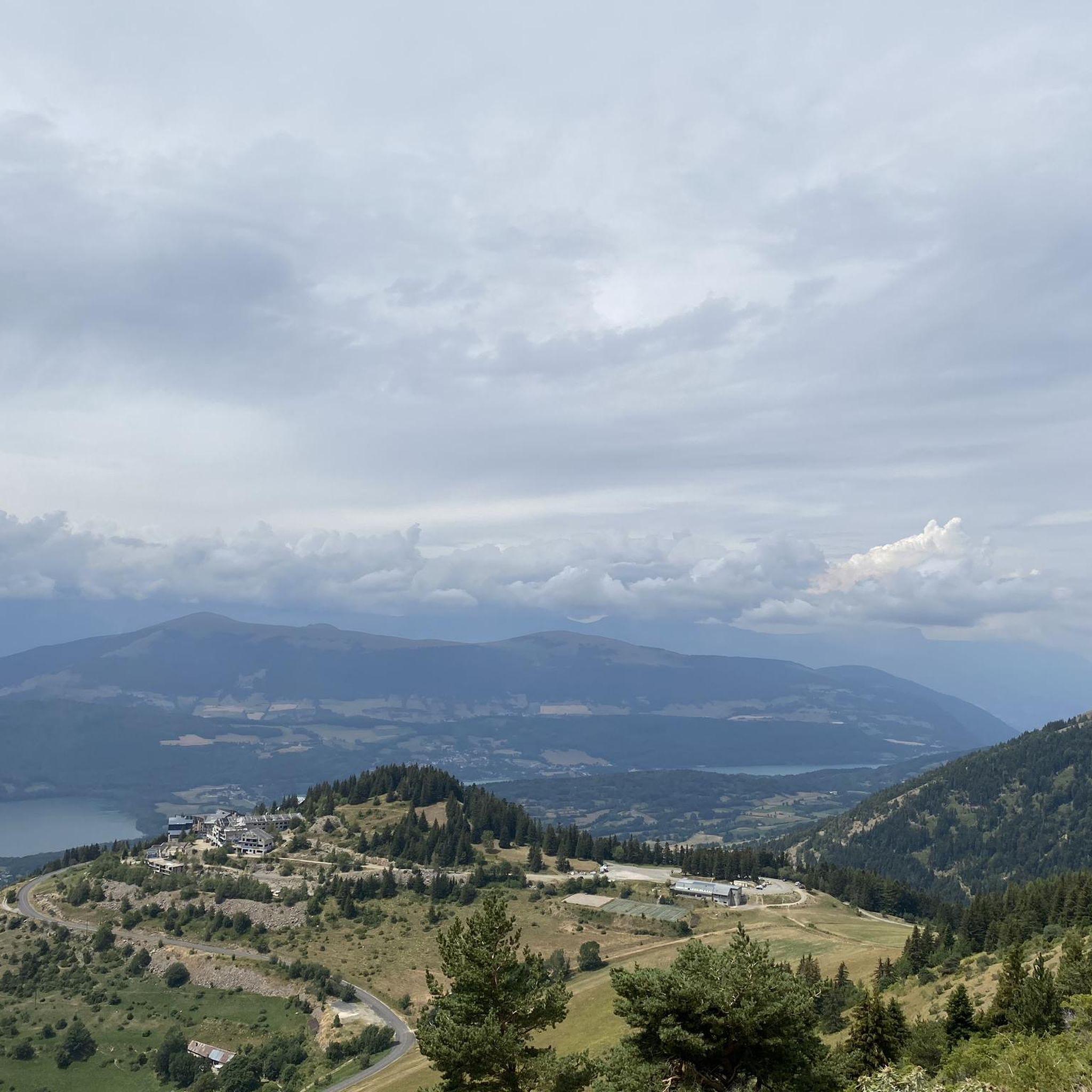
The Col de la Morte opens a window onto the Alpine landscapes. A Mecca for cyclists, hikers and trail runners, it is the scene of memorable climbs and outdoor adventures!
0
0

Col can be VERY steep, especially from Entraigues. On the other side it is more lenient and accessible.
1
0

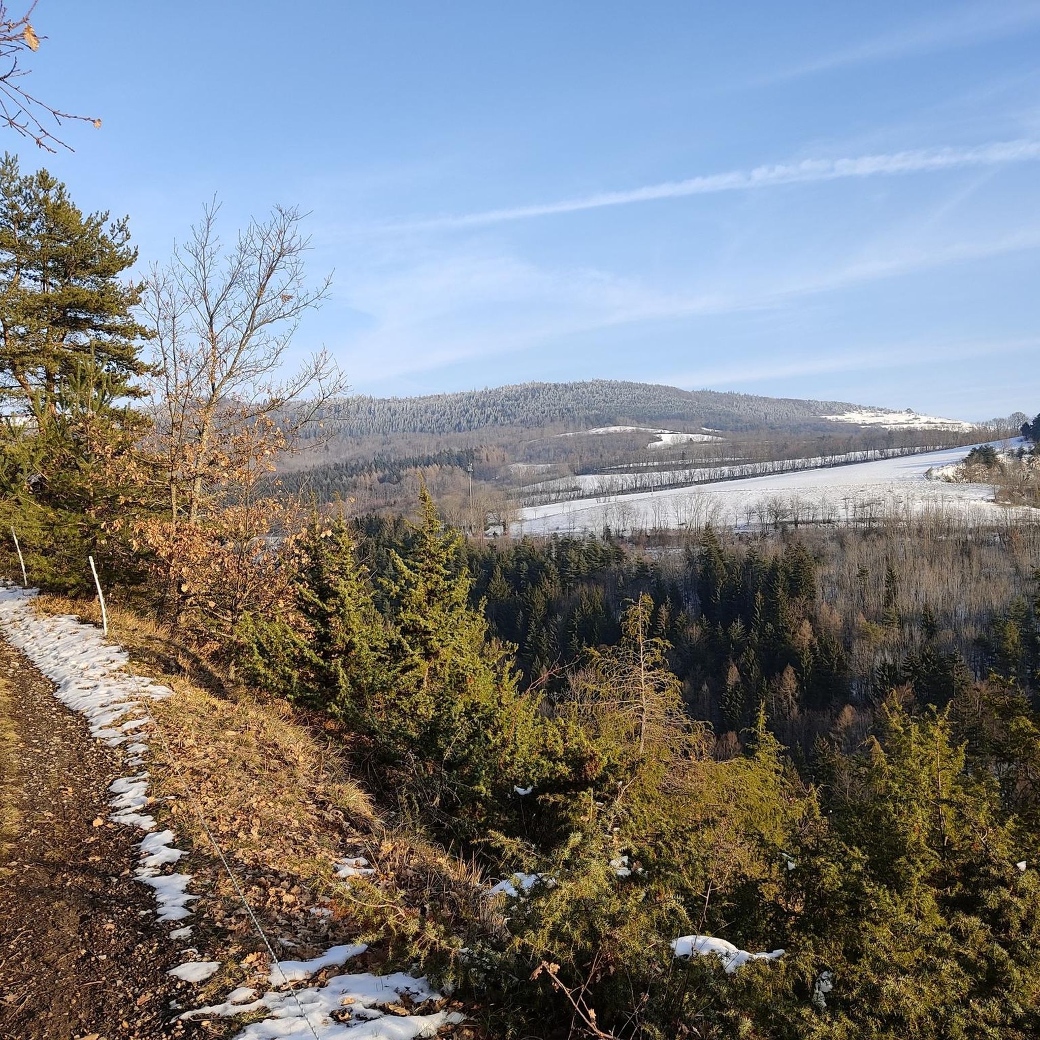
I added the SAMBY to avoid a round trip of the existing proposed hike in Visorando Departure in the Undergrowth by a forest track, it climbs well up to the Col du Plan Collet. on the left towards the CAVALE by the long ridge. on the right the SAMBY for the return by a path in the forest. nice view of the OBIOU, the triève, a superb view also of the summit of the Coiro in June, the flora is extraordinary the descent through the small valley all in bloom in JUNE really made you want to venture there I opted for a picnic at the edge of the small torrent using the ends of existing paths the path then is quite visible in the middle of the valley ps: as often by turning around from half of the valley we can clearly see the route when you reach the flat valley, you find old round walls and chamois the path is dotted from here on an old map to join the path of the climb continue the path skirting the hill and following the path sometimes clearly visible, sometimes it disappears some cairns still remain, I straightened them (the lilies of St Bruno dot the meadow) we join the path of the climb of the 1st stop we descend to the Col du Plan Collet
0
0

The Col de la Morte from Sechilienne is 15.3 km long with a total drop of 1003 m. The average gradient is 6.56% with maximum gradients of 9.3%. A very nice climb to do during the summer months because the climb is mostly in the shade. When you get to the top you can go down the other side to La Mure.
3
0
A really pleasant climb with an exceptional view of the surrounding mountains.
2
0

This sturdy climb is on a wide gravel path with fairly thick stones. The route mainly runs through the forest, but you still regularly get to see very beautiful panoramas. This path takes you to the foot of the Chatèl.
2
0
Frequently Asked Questions
What are some notable mountain passes around Nantes-en-Rattier?
The region around Nantes-en-Rattier features several distinctive mountain passes. Among them, Parquetout Pass is known for its steep gradients and panoramic views. Another popular spot is Plan Collet Pass, offering robust climbs through forests and views of the Obiou and Coiro summits. For mountain biking enthusiasts, the Col de la Brèche Mountain Bike Trail provides a rewarding experience with scenic panoramas.
What kind of natural features and views can I expect from the mountain passes?
Visitors to the mountain passes around Nantes-en-Rattier can expect diverse natural beauty. From Parquetout Pass, you can enjoy panoramic views of the Beaumont, Obiou, and Grand Armet mountain ranges. Plan Collet Pass offers views of the Obiou and Coiro summits, with extraordinary flora, especially in June. The Col de la Brèche Mountain Bike Trail, while mostly forested, also provides beautiful panoramic viewpoints at regular intervals.
Are there challenging routes for experienced cyclists or hikers?
Yes, the region offers challenging routes. Parquetout Pass is particularly known for its steep gradients, with ascents reaching up to 14% and even 16% from Vaujany, making it appealing to experienced cyclists. The road can be bumpy with loose gravel, adding to the challenge. For ski mountaineers, the Col du Plan (near Chamonix, though further afield) presents extremely steep and exposed terrain.
What historical significance do some of these passes hold?
The Col du Mont, located at 2639 meters, holds significant historical weight. It served as an ancient crossing point between what is now Valgrisenche, Italy, and France, used for centuries by armies and for trade. The area also features two small fortresses from the First and Second World Wars, and it was the site of a tragic avalanche in 1945, adding a somber yet significant layer to its history.
When is the best time of year to visit the mountain passes around Nantes-en-Rattier?
While specific seasonal recommendations for all passes are not detailed, the flora at Plan Collet Pass is described as extraordinary in June, suggesting late spring to early summer is a beautiful time to visit for hiking and enjoying the natural environment. Generally, warmer months are ideal for cycling and hiking in mountain regions.
What outdoor activities can I do near these mountain passes?
The region around Nantes-en-Rattier is excellent for various outdoor activities. You can find numerous routes for cycling, mountain biking, and gravel biking. For mountain biking, consider routes like the 'Boucle de Pique de Nantes' or 'View of the French Alps – Le Sénépy loop from La Mure' found in the MTB Trails around Nantes-En-Rattier guide. Cycling enthusiasts can explore routes such as 'Les Corniches du Drac — loop around Mont Sénépy' or 'Valbonnais – Parquetout Pass loop from La Mure' from the Cycling around Nantes-En-Rattier guide.
Are there any specific tips for cycling the Parquetout Pass?
Cyclists attempting Parquetout Pass should be prepared for steep gradients, especially from Entraigues. While the climb via St Michel is more regular (around 6%), the last 2 km are steeper. The road surface can have a lot of gravel, which might make descents tense. The side from Entraigues is very winding and has violent percentages, but the road is well shaded. Local cycling events have marked the pavement with gradient percentages every 100 yards to assist riders.
What do visitors enjoy most about the mountain passes in this area?
Visitors frequently appreciate the challenging nature of the climbs, particularly for cycling, and the rewarding panoramic views. The tranquility and sounds of the alpine wind, especially at passes like Col du Mont, leave a lasting impression. The extraordinary flora, as seen at Plan Collet Pass in June, is also a highlight for many.
Are there mountain biking specific trails?
Yes, the region caters to mountain biking. The Col de la Brèche Mountain Bike Trail is a notable example, featuring a robust climb on a wide gravel path through forests, leading to the foot of Chatèl with rewarding views. You can find more options in the MTB Trails around Nantes-En-Rattier guide.
Is the Col du Mont suitable for hiking?
Yes, the Col du Mont is suitable for hiking. The hike to Col du Mont is generally not considered overly difficult or long, typically taking around 5 hours roundtrip with a 700m altitude difference. It offers gorgeous landscapes and views of the Grande Rousse massif with its glaciers, providing a unique, harsh, yet beautiful alpine environment.
Are there any easy or beginner-friendly mountain pass routes?
While some passes like Parquetout Pass are known for their steepness, the region offers diverse terrain. The hike to Col du Mont is described as not overly difficult, suggesting it could be accessible for those with moderate hiking experience. For cycling, the side of Parquetout Pass from St Michel is more lenient. Always check specific route details and difficulty ratings before heading out.
Most popular routes around Nantes-En-Rattier
Most popular attractions around Nantes-En-Rattier

Get inspired with the komoot mobile app


Explore more
See even more epic mountain passes by checking out these guides around Nantes-En-Rattier:
