Top 16 Natural Monuments around Le Mont-Saint-Michel
Best natural monuments around Le Mont-Saint-Michel include its iconic bay and dramatic tidal phenomena. This area, designated a UNESCO World Heritage site, features a unique blend of geological formations and ecological richness. The Bay of Mont-Saint-Michel is a vast, shallow expanse with diverse natural environments like sandflats and salt meadows. The region is also known for experiencing the highest tides in continental Europe, which significantly transform the landscape.
Best natural monuments around Le Mont-Saint-Michel
- The most popular natural monuments is…
Last updated: August 13, 2026
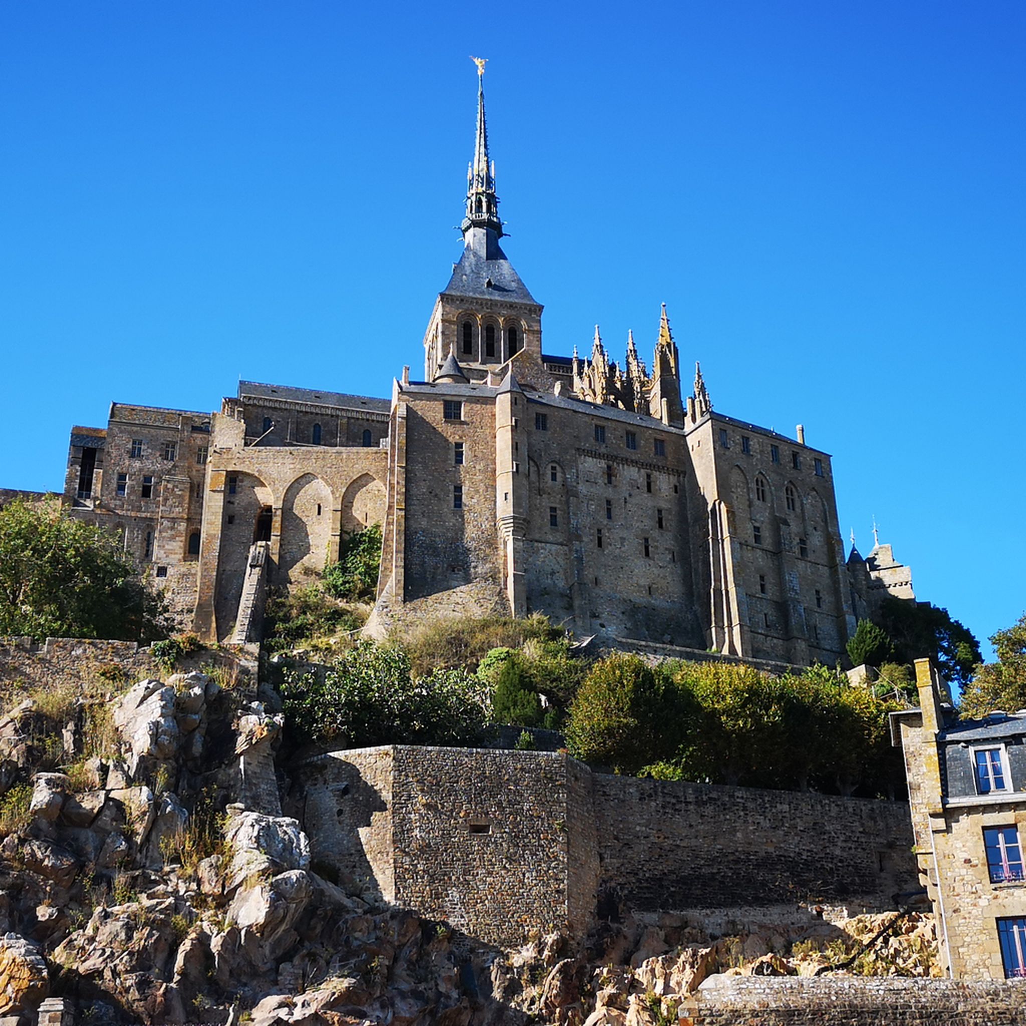
Mont Saint-Michel
Highlight • Religious Site
Translated by Google •
Tip by

Saint Aubert Chapel
Highlight • Religious Site
Showing Translation
Tip by

Sign up now to discover places like this
Get recommendations on the best single tracks, peaks, & plenty of other exciting outdoor places.
Sign up for free
Grouin du Sud
Highlight • Viewpoint
Translated by Google •
Tip by

Bec d'Andaine
Highlight • Beach
Translated by Google •
Tip by

Sélune Estuary
Highlight (Segment) • River
Tip by

Sign up for free to discover even more natural monuments around Le Mont-Saint-Michel.
Sign up for free
Already have an account?
Start today with a free account
Your next adventure awaits.
Login or Signup
Popular around Le Mont-Saint-Michel
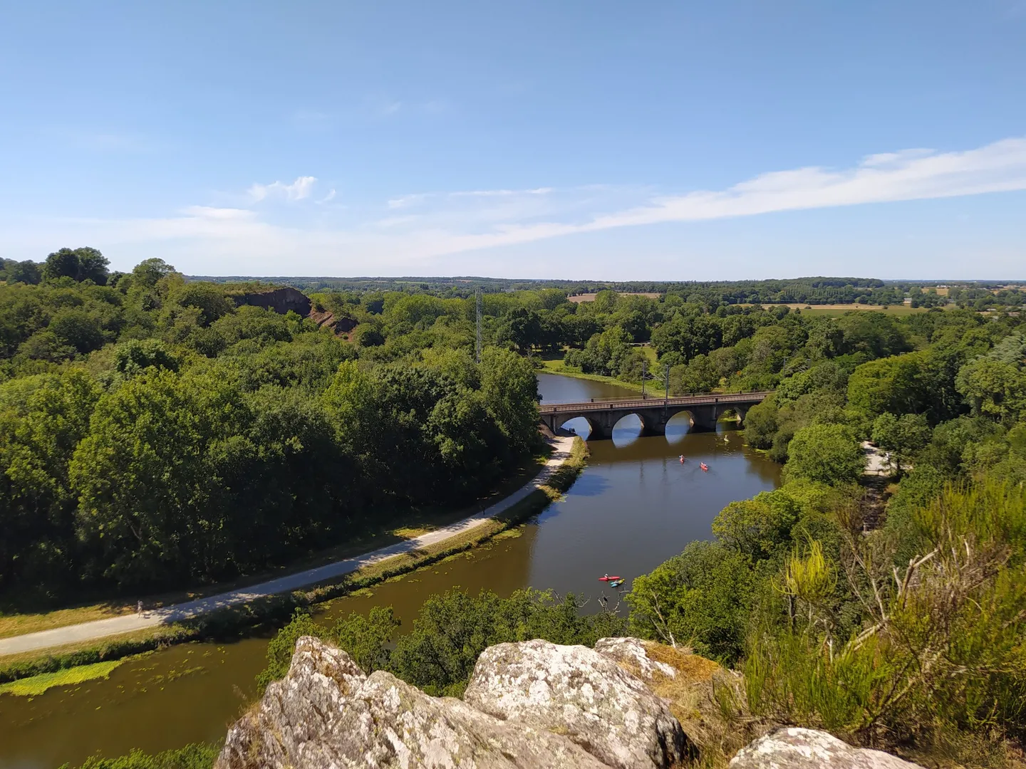
The GR 39 — On the historical traces of Brittany
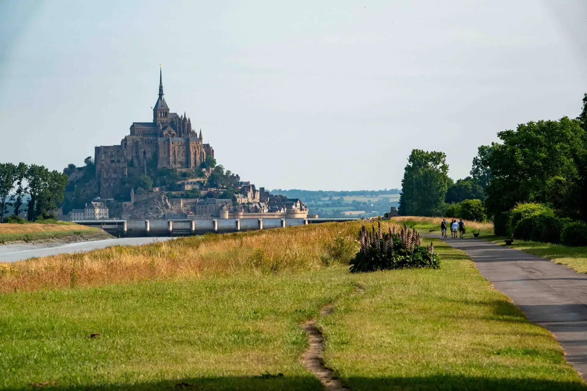
History and gastronomy - La Régalante
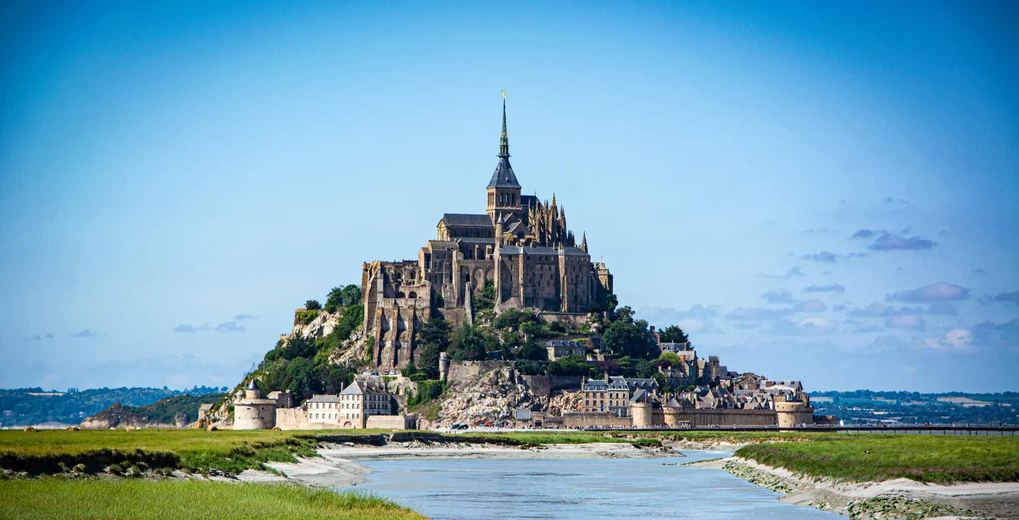
The Customs Officers’ Path – GR 34 between Saint-Malo and Pontorson
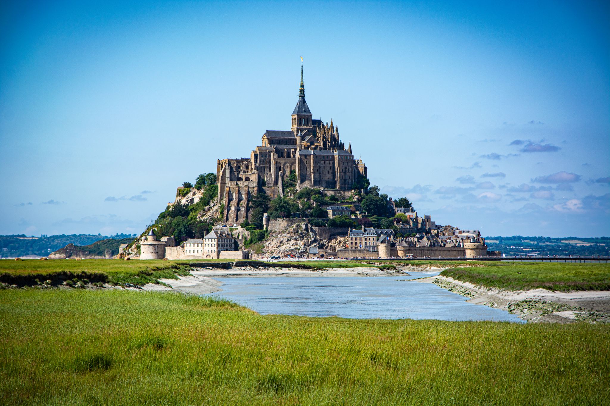
Coastlines of the English Channel — Tour de Manche
Cycling around Le Mont-Saint-Michel
MTB Trails around Le Mont-Saint-Michel
Hiking around Le Mont-Saint-Michel
Road Cycling Routes around Le Mont-Saint-Michel

Gravel biking around Le Mont-Saint-Michel
Running Trails around Le Mont-Saint-Michel
Other adventures around Le Mont-Saint-Michel


Tips from the Community

The holy Aubert of Avranches was bishop of the Norman city of Avranches in the 8th century. According to Christian tradition, he founded the first sanctuary on the rock of the later Mont-Saint-Michel. According to legend, the Archangel Michael appeared to him several times, urging him to build a church on the then Mont Tombe. After initial hesitation, Aubert followed this command and had a chapel built, which became the origin of the famous pilgrimage site of Mont-Saint-Michel. Aubert is venerated as a pious bishop. His feast day is September 10th.
12
0

Many visitors run their hand over the chapel's granite wall or briefly place their hand on it. It is said to bring: • Good luck, • Protection on journeys, • or the fulfillment of a wish. However, there is no official historical source to document this custom. It is a local tradition passed down by visitors and tour guides – similar to many pilgrimage sites.
3
0
Who was Saint Aubert? According to legend, the Archangel Michael appeared to him in a dream three times in the year 708 and instructed him to build a church on the then Mont-Tombe. Aubert considered the first two apparitions to be dreams and ignored them. On the third occasion, Michael is said to have become impatient and touched him on the forehead with his finger – so forcefully that a hole was created in his skull. This hole, supposedly created by the archangel's finger, is still shown today in the Basilica of Avranches. Only then did Aubert begin the construction of the first sanctuary, from which Mont-Saint-Michel later emerged. The statue therefore shows him as a bishop: • with a mitre on his head, • in bishop's vestments, • with his right arm raised in a gesture of blessing, • with the crozier on his shoulder.
3
0
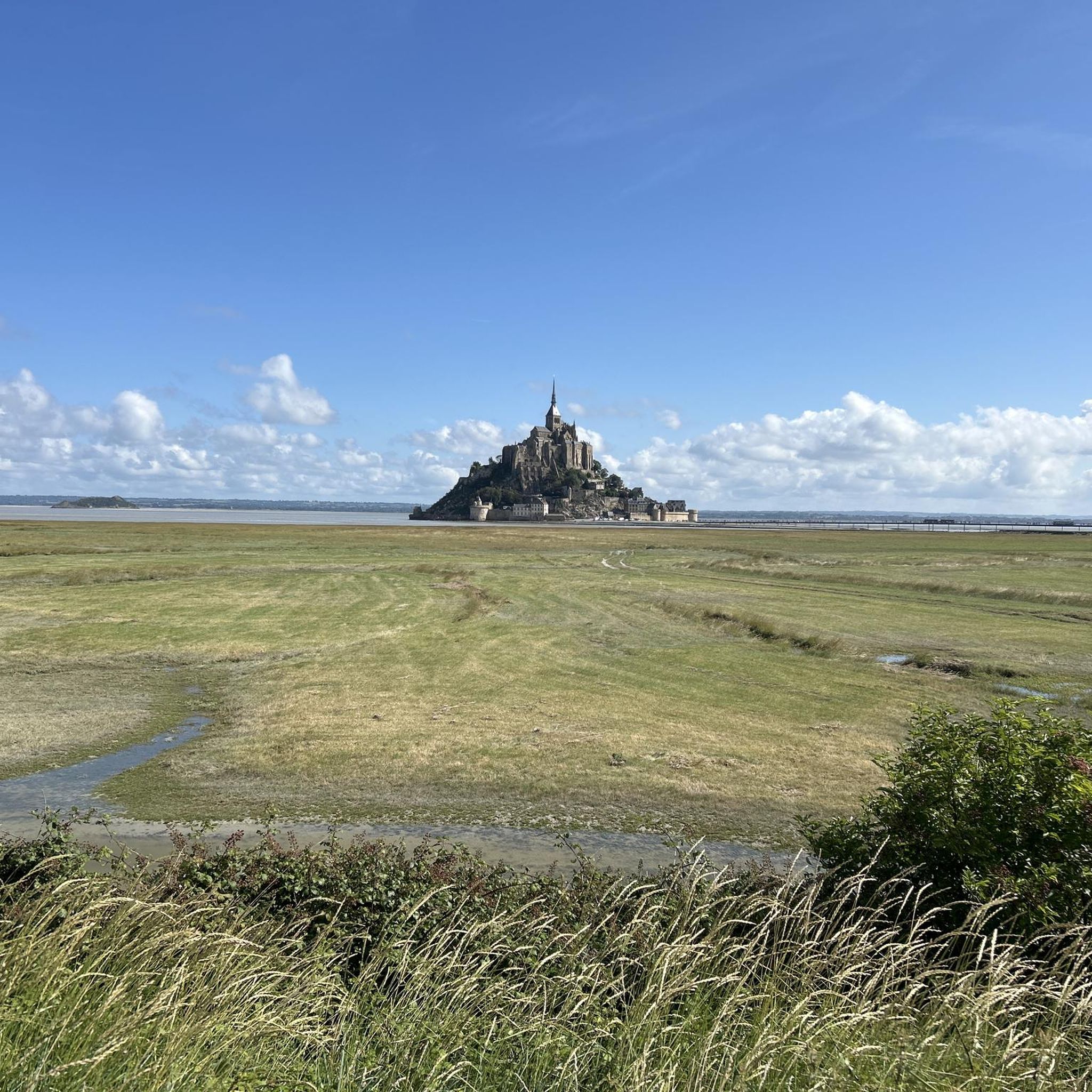
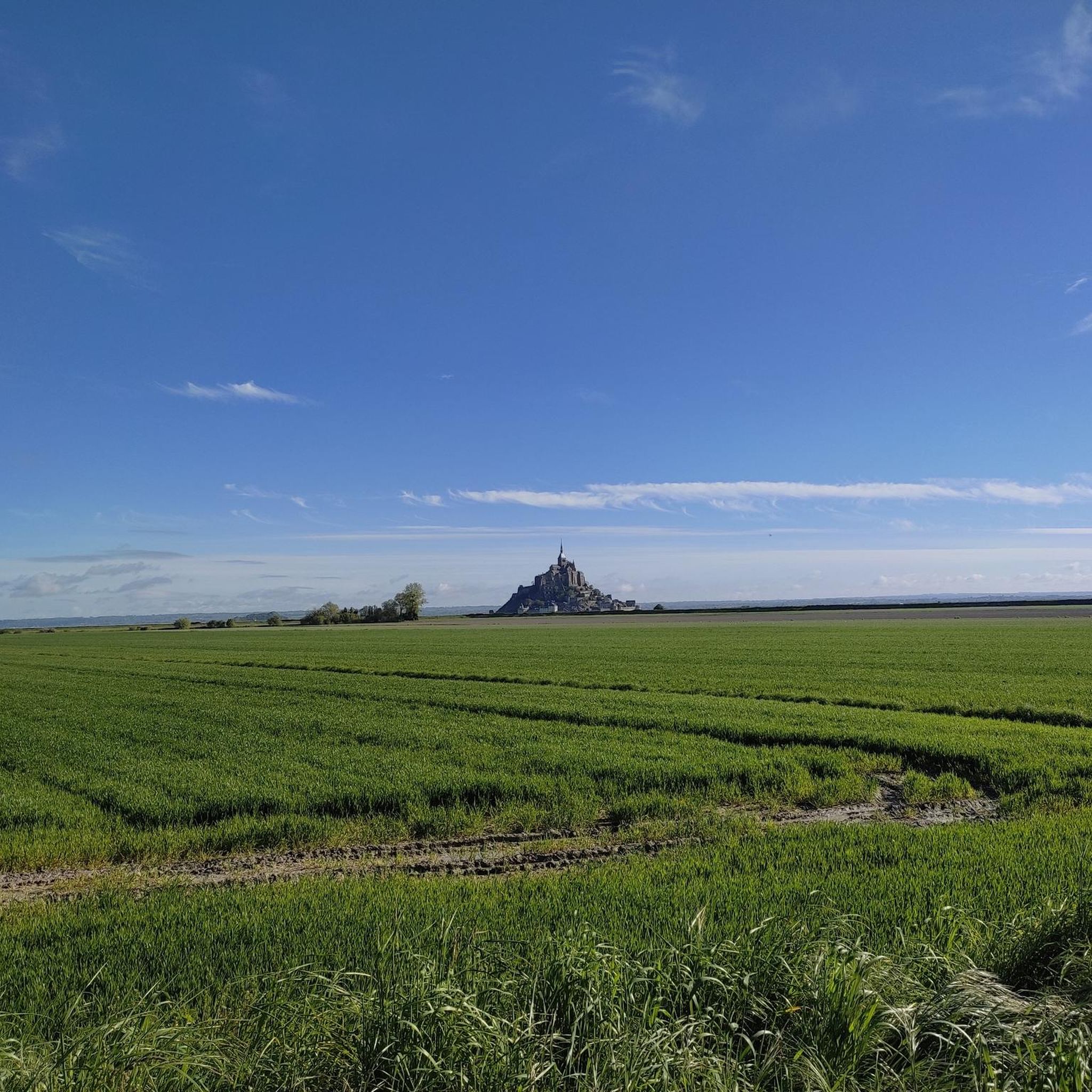
The Grouin du Sud is a natural headland offering impressive views of the bay and the famous Klosterberg. Depending on the tide, the landscape alternates between vast mudflats and ocean views, making the place particularly charming.
1
0

A forgotten part of Mont Saint-Michel, this chapel on the northwest side of the island. At low tide you can easily walk towards this chapel that is not otherwise open to visitors, but is nevertheless beautifully situated on the rocks below the famous monastery.
3
0

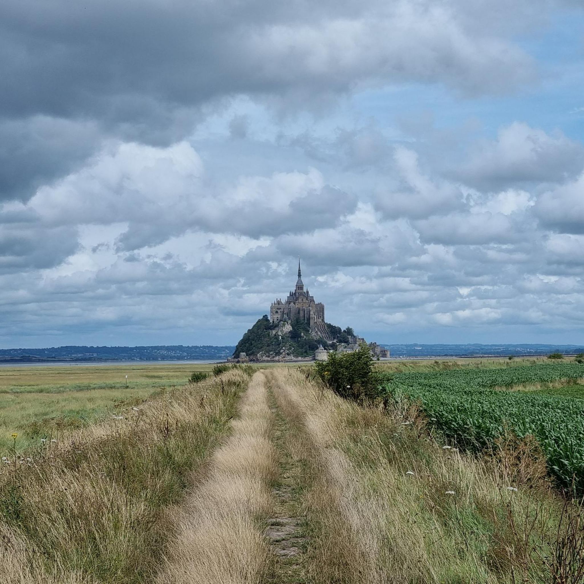
Cycle route along the Sélune estuary with a view of Mont St Michel
0
0


The route is composed of a quiet road, with a gravel cycle track alongside, for those who don't want to worry about cars.
0
0
Frequently Asked Questions
What are the unique natural features of the Bay of Mont-Saint-Michel?
The Bay of Mont-Saint-Michel is a vast, shallow expanse covering approximately 500 square kilometers, characterized by extensive sandflats, salt meadows (or prés salés), and polders. Three rivers—the Couesnon, Sée, and Sélune—flow into the bay, creating a dynamic and ecologically rich environment.
What makes the tides at Mont-Saint-Michel so remarkable?
The Bay of Mont-Saint-Michel experiences the highest tides in continental Europe, with a difference between high and low tide reaching up to 15 meters during spring tides. This dramatic range is due to the bay's shallow depth and funnel-shaped coastline. At low tide, the sea can retreat up to 15 kilometers, exposing vast sandy plains, while the incoming tide rushes in rapidly, transforming the landscape and turning Mont-Saint-Michel into a true island.
Can I explore the Bay of Mont-Saint-Michel safely?
Exploring the bay offers a deep appreciation of its unique ecosystem and historical pathways. However, venturing alone can be dangerous due to quicksands and rapidly incoming tides. It is highly recommended to explore the bay with a certified guide for safety.
What kind of wildlife can I expect to see in the Bay of Mont-Saint-Michel?
The bay is an ecological treasure trove, home to a rich diversity of wildlife. You can spot around 130 bird species, including brent geese and avocets, as well as seals and dolphins, particularly during the summer months. The salt meadows also support unique flora and are famous for grazing 'salt-marsh lambs'.
Are there other natural islets besides Mont-Saint-Michel in the bay?
Yes, Mont Tombelaine is another granite islet located in the Bay of Mont-Saint-Michel, north of Mont-Saint-Michel itself. It's a geological outcrop that contributes to the unique character of the bay and offers a contrasting viewpoint.
Are there family-friendly natural spots to visit near Mont-Saint-Michel?
Absolutely. The Grouin du Sud viewpoint is family-friendly and offers panoramic views of Mont-Saint-Michel and its bay. Additionally, Bec d'Andaine is a beach and natural monument that is also family-friendly, offering beautiful views and a natural environment.
What outdoor activities can I do to explore the natural monuments?
The area around Le Mont-Saint-Michel offers various outdoor activities. You can find numerous routes for cycling and running that allow you to explore the natural beauty of the bay. For cycling, check out the Cycling around Le Mont-Saint-Michel guide, and for running, the Running Trails around Le Mont-Saint-Michel guide provides options.
What is the best time of year to witness the extreme tides?
The most dramatic 'spring tides' occur during full and new moons, and are particularly impressive during equinox periods in March and September. These are the best times to witness the sea retreat and rush back in, potentially submerging the causeway to Mont-Saint-Michel.
Where can I get panoramic views of Mont-Saint-Michel and its bay?
For stunning panoramic views, head to Grouin du Sud, which is a popular viewpoint and a starting point for bay crossings. Another excellent spot is the View of the Bay of Mont-Saint-Michel highlight, offering direct views of the famous island.
What should I wear for exploring the natural areas around Mont-Saint-Michel?
Given the dynamic tidal environment and potential for walking on sandflats or salt meadows, it's advisable to wear comfortable, waterproof footwear that can handle muddy or sandy conditions. Layers of clothing are also recommended, as weather can change quickly, especially near the coast.
Are there any hidden natural gems worth discovering in the area?
While not exactly 'hidden,' the unique ecosystem of the salt meadows (prés salés) within the Bay of Mont-Saint-Michel is a natural gem. These areas support distinctive flora and are where the famous 'salt-marsh lambs' graze, offering a glimpse into local agricultural traditions intertwined with nature.
What do visitors particularly enjoy about the natural monuments here?
Visitors are consistently amazed by the sheer scale and constantly changing landscape of the bay, especially the dramatic tidal phenomena. The rapid transformation of the landscape, from a vast sandy plain to an island surrounded by water, highlights nature's raw power and provides incredible photographic opportunities. The rich wildlife and unique geological features also contribute to a profound connection with nature's beauty.
Is <a href="https://www.komoot.com/highlight/6234924" target="_blank" rel="noopener">Saint Aubert Chapel</a> considered a natural monument?
Yes, Saint Aubert Chapel is listed as a natural monument. While primarily a historical and religious site, its beautiful situation on the rocks below the famous monastery, accessible at low tide, integrates it deeply with the natural landscape of the bay.
Most popular routes around Le Mont-Saint-Michel
Most popular attractions around Le Mont-Saint-Michel

Get inspired with the komoot mobile app


Explore more
Extend your search for the best caves by checking out these guides of the top ones around Le Mont-Saint-Michel:
