Top 4 Mountain Passes around Gonfaron
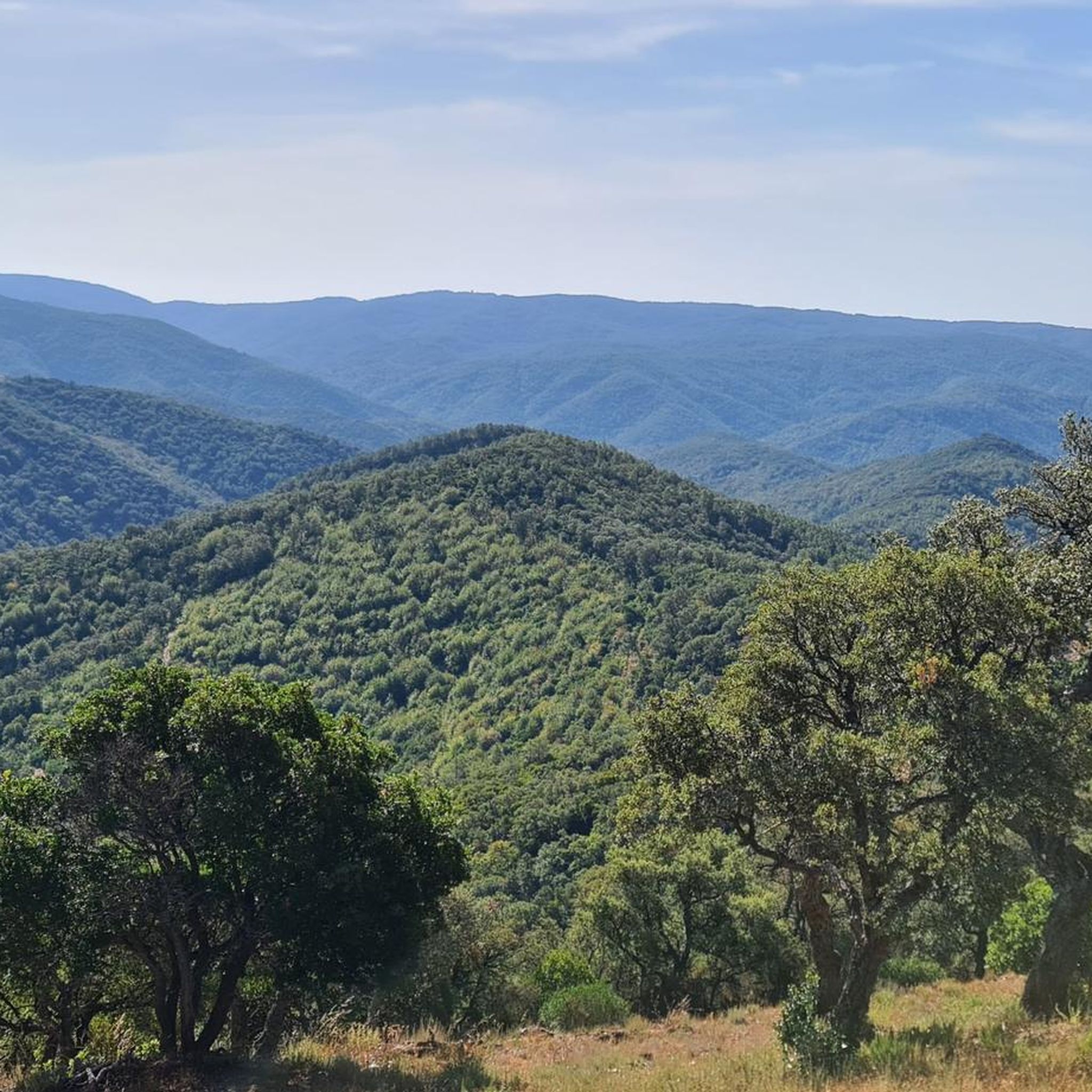
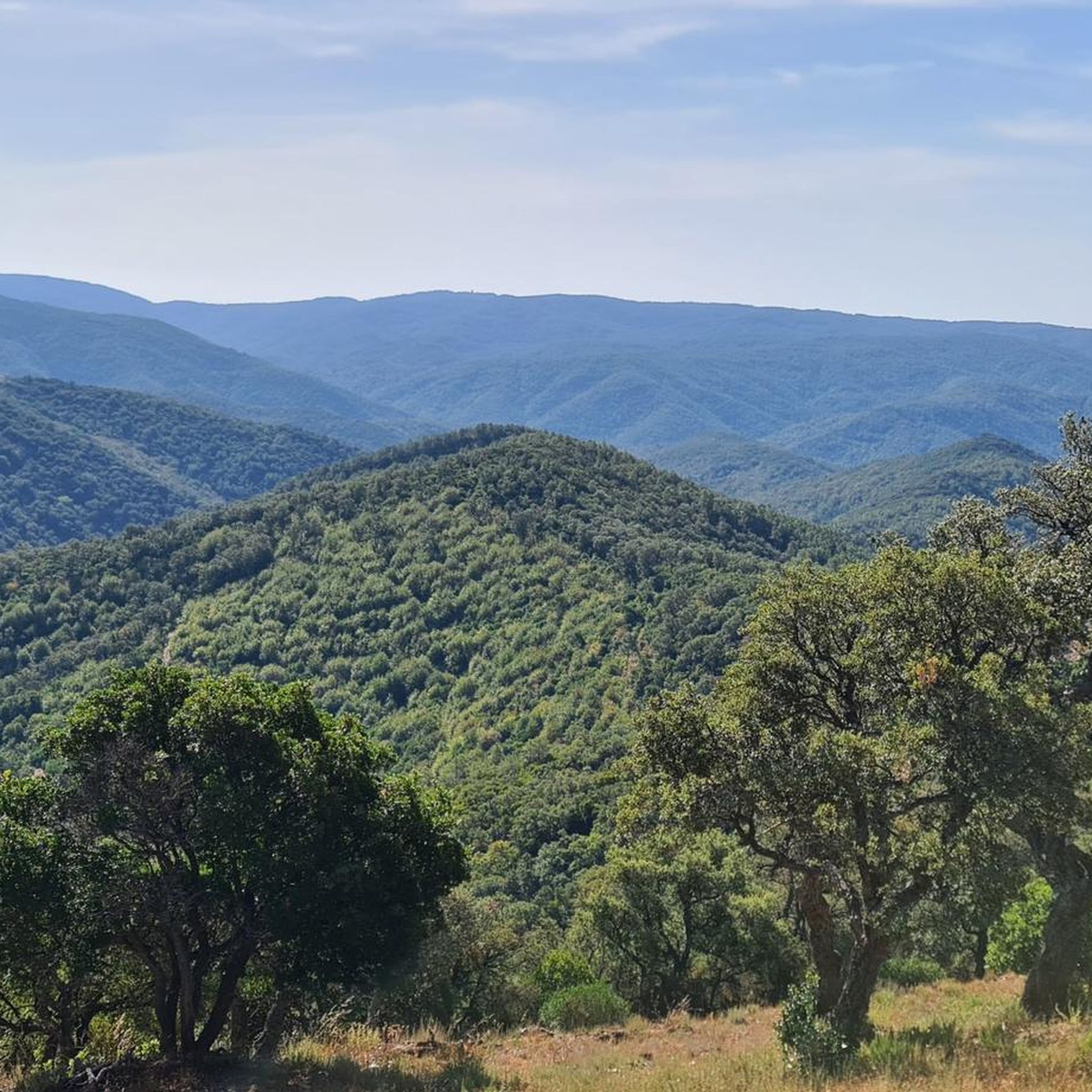
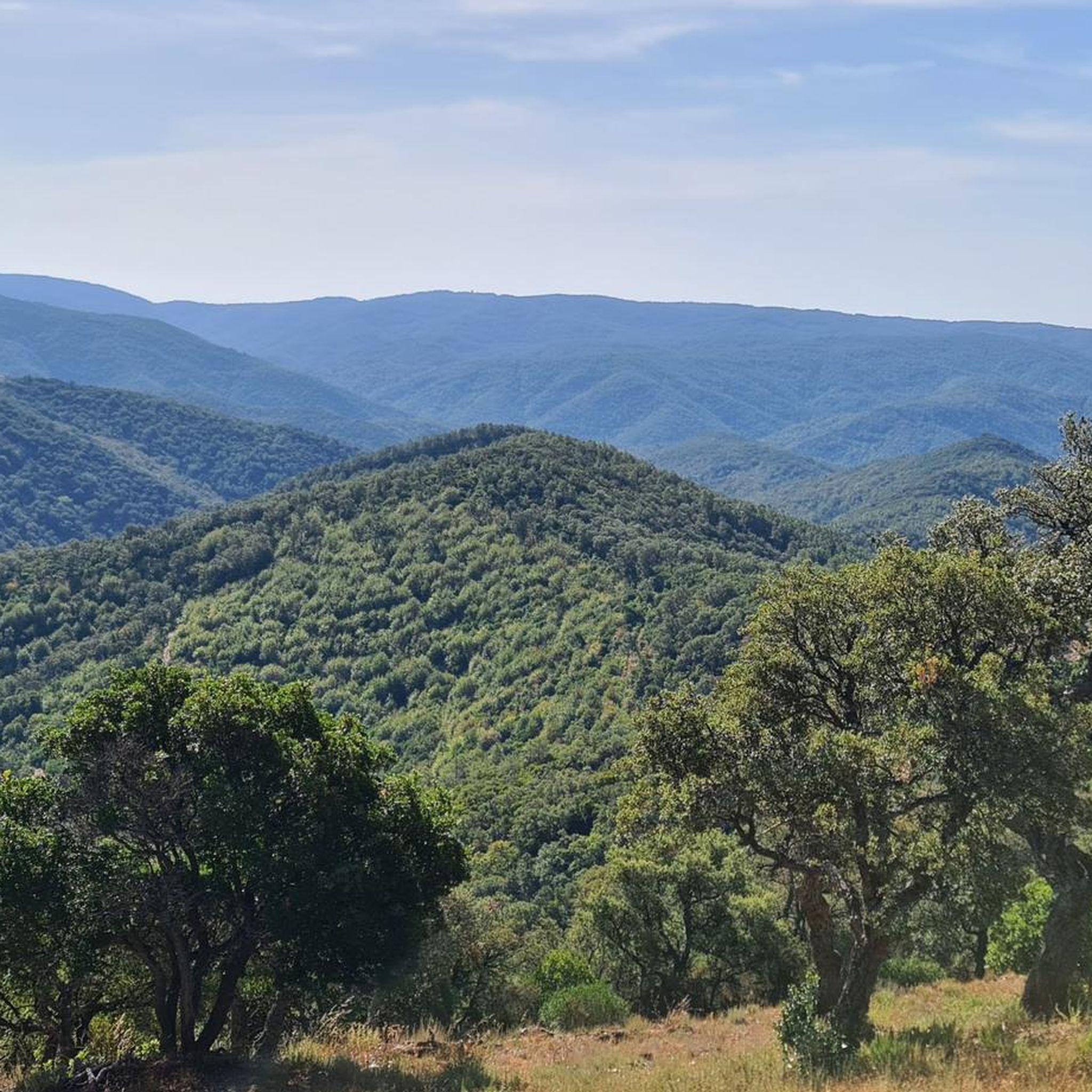
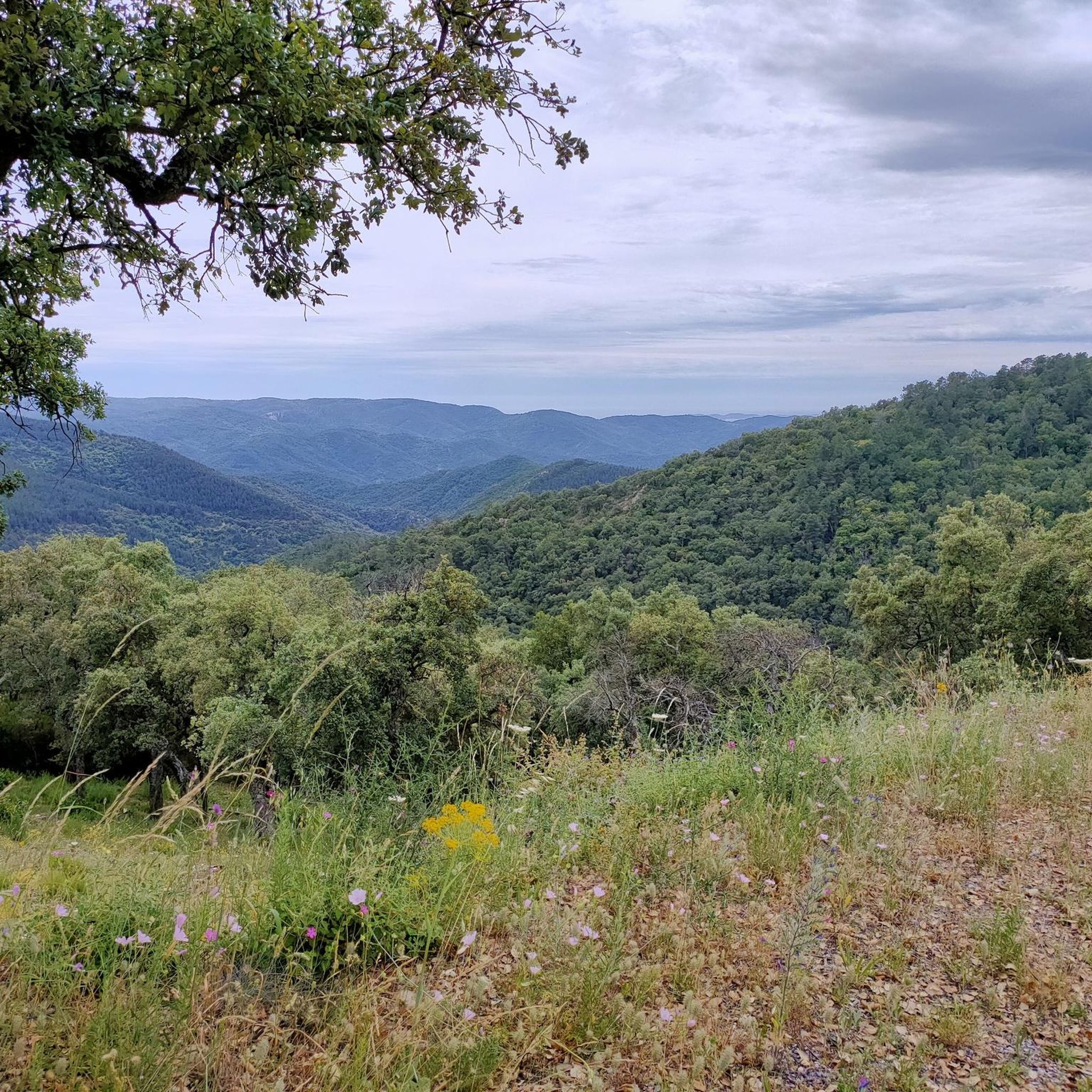
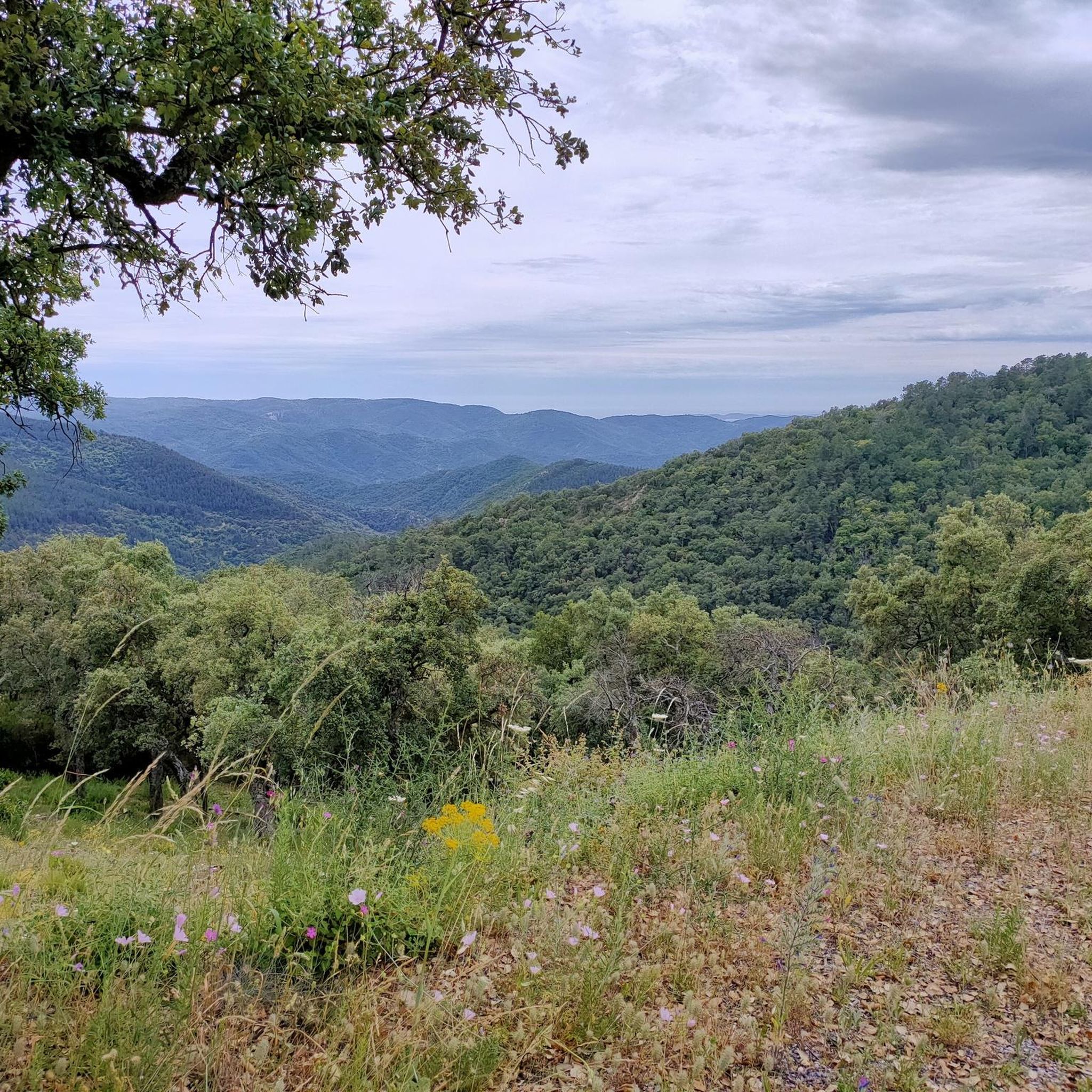
Best mountain passes around Gonfaron are found within the Maures Massif, a mountainous region characterized by rocky ridges, wooded valleys, and diverse flora. This area provides opportunities for outdoor activities such as hiking and cycling. The landscape features cork oak, maritime pine, rosemary, and lavender, contributing to its natural character. The Maures Massif offers elevated routes and viewpoints for exploration.
Best mountain passes around Gonfaron
- The most popular mountain passes is Babaou Pass, a mountain pass that features a…
Last updated: August 13, 2026
Babaou Pass
Highlight • Mountain Pass
Translated by Google •
Tip by

Climb to Col de Babaou
Highlight (Segment) • Mountain Pass
Translated by Google •
Tip by

Sign up now to discover places like this
Get recommendations on the best single tracks, peaks, & plenty of other exciting outdoor places.
Sign up for free
Route des Crêtes of Col du Canadel
Highlight (Segment) • Mountain Pass
Translated by Google •
Tip by

Col des Fourches
Highlight • Mountain Pass
Translated by Google •
Tip by

Start today with a free account
Your next adventure awaits.
Login or Signup
Tips from the Community

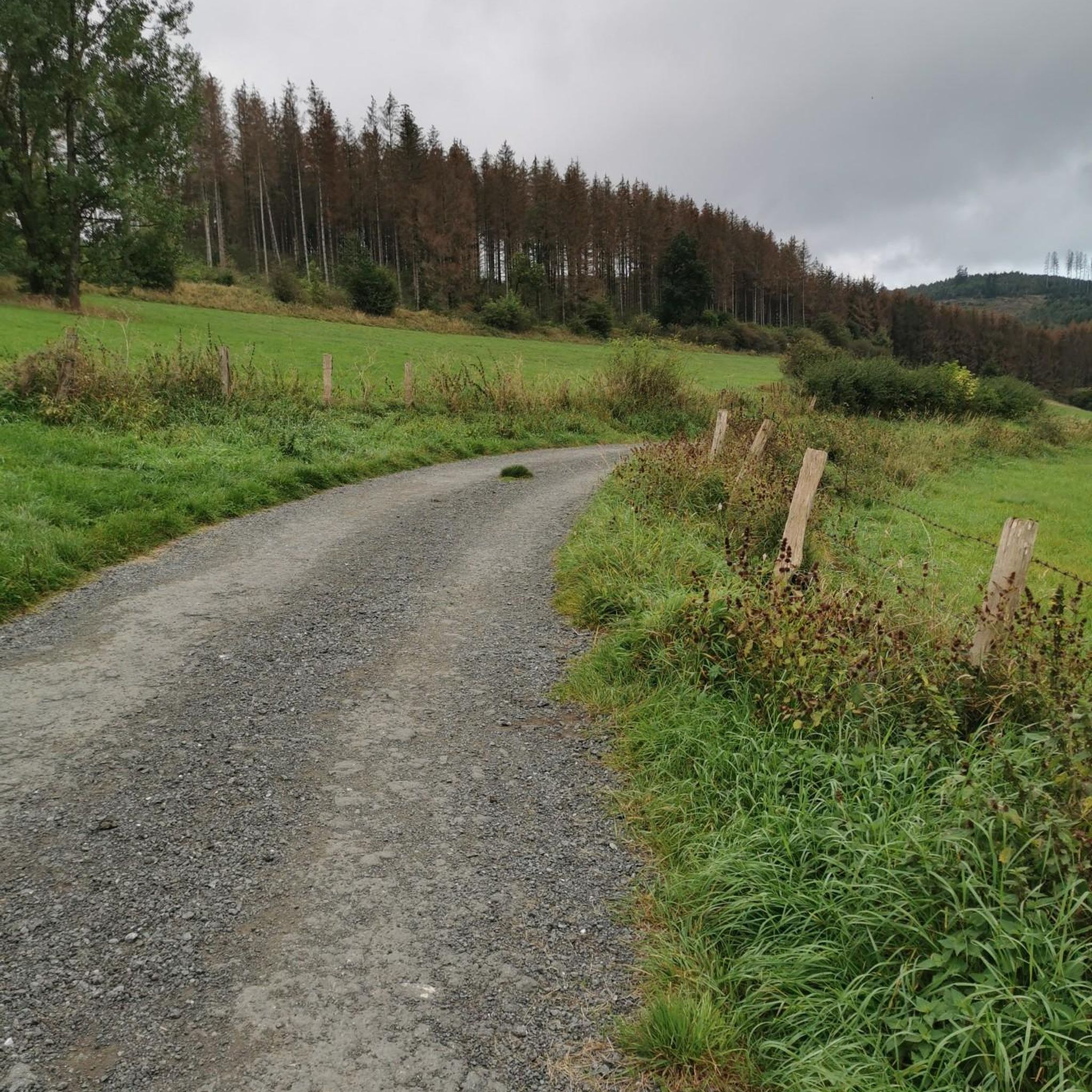
Quiet side road, moderate climb
0
0


from the Col de Fourches to Collobriere via the D39 is not possible because it is blocked indefinitely by a landslide. Keermeer collapsed in September 2025.
1
0


Not too steep, not too long, not too difficult and very lonely
1
0


Magnificent road, perfect complement to the Route des Cretes. Great tip, @Fabrice!
1
0
Frequently Asked Questions
What are some popular mountain passes and elevated routes to explore around Gonfaron?
The Maures Massif near Gonfaron offers several notable elevated routes and viewpoints. Among the most appreciated by the komoot community is Babaou Pass, known for its scenic climbs. Another significant point is the Col des Fourches, offering challenging ascents. For scenic drives with stunning vistas, consider the Route des Crêtes of Col du Canadel.
What kind of terrain can I expect on the mountain passes around Gonfaron?
The mountain passes and elevated routes in the Maures Massif feature varied terrain. For instance, Babaou Pass has a reasonably steep climb on its north side, averaging 4-5% for 5-6 km, while its south side includes flatter sections interspersed with a 2.5 km steeper passage around 6%. The Col des Fourches presents an average steepness of 6-7% over 6 km, with some sections being even steeper. Generally, you'll encounter rocky ridges, wooded valleys, and diverse Mediterranean flora.
Are there challenging routes for experienced cyclists or hikers?
Yes, the region offers challenging routes. The climb to Col des Fourches, for example, is about 6 km long with an elevation gain of 370 m and an average steepness of 6-7%. For cyclists, the Babaou Pass offers a sustained climb on its north side. The Maures Massif itself, with its highest point at Signal de la Sauvette (around 776-780 meters), provides ample opportunities for demanding ascents and long-distance routes.
What natural features can I observe while exploring the mountain passes?
The Maures Massif is rich in natural beauty. You'll find diverse flora including cork oak, maritime pine, rosemary, thyme, and lavender. The landscape is characterized by wild beauty, with rocky ridges offering panoramic views, wooded valleys, and dense scrublands. Pink sandstone slabs, used in local construction, also add to the area's geological interest. The highest points, like Signal de la Sauvette, offer breathtaking 360-degree views of the mountains, the Iles d'Or, and the Bay of Hyères and Saint-Tropez.
What outdoor activities can I do near these mountain passes?
Beyond exploring the passes themselves, the Maures Massif provides a variety of outdoor activities. You can find numerous running trails, such as the 'Viewpoint – Col des Fourches loop from Gonfaron' (29.5 km, difficult), or cycling routes like the 'Les Maures Sauvages and Châtaigneraies des Maures Loop' (44 km, difficult). For more options, explore the Running Trails around Gonfaron, Cycling around Gonfaron, and Road Cycling Routes around Gonfaron guides.
Are there any historical or cultural landmarks near the mountain passes?
Yes, the Maures Massif boasts significant cultural and historical heritage. Near the highest point, Signal de la Sauvette, you'll find the 11th-century Notre-Dame des Anges Sanctuary, a site for pilgrimages that also provides magnificent views. The region also has prehistoric remains and medieval ruins discoverable along its hiking trails. The village of Gonfaron itself features the Saint Quinis Chapel, overlooking the old village.
What is the best time of year to visit the mountain passes around Gonfaron?
The Maures Massif is enjoyable for exploration throughout much of the year. However, it's important to note that sections of the scenic Route des Crêtes may be closed in summer due to fire hazards. Spring and autumn generally offer pleasant temperatures for hiking and cycling, with vibrant flora. While specific winter hiking conditions aren't detailed, the region's Mediterranean climate means winters are generally milder than in higher alpine areas.
What do visitors enjoy most about the mountain passes in this region?
Visitors particularly appreciate the scenic beauty and the quality of the routes. For instance, the Babaou Pass is praised for its sumptuous decorations on the south side and smooth asphalt on the north, making for a very pleasant ride. The Col des Fourches is noted for its great views. The overall wild beauty, panoramic vistas, and diverse flora of the Maures Massif are consistently highlighted by those who explore the area.
Are there any specific viewpoints worth visiting in the Maures Massif?
Absolutely. The highest point of the Maures Massif, Signal de la Sauvette (around 776-780 meters), offers unparalleled 360-degree views of the mountains, the Iles d'Or, and the Bay of Hyères and Saint-Tropez. The Notre-Dame des Anges Sanctuary, located near this summit, also provides magnificent vistas. Additionally, the Route des Crêtes of Col du Canadel is designed for scenic overlooks, providing dynamic views of the diverse landscapes and the Mediterranean coastline.
Is the Col des Fourches currently accessible?
It's important to note that access from the Col des Fourches to Collobrières via the D39 has been indefinitely blocked due to a landslide. Visitors should check local conditions before planning a route through this specific section.
Can I find family-friendly options for exploring the Maures Massif?
While specific 'family-friendly' categories for mountain passes aren't detailed, the broader Maures Massif offers diverse terrain. Shorter excursions to specific viewpoints like Col de Babaouo, or the less strenuous sections of the Babaou Pass, could be suitable for families. The picturesque village of Gonfaron itself provides a serene atmosphere with local amenities. Always consider the difficulty and length of any chosen route to ensure it's appropriate for all family members.
Where can I find information about the natural heritage of the Maures Massif?
For more detailed information on the natural heritage, including its unique flora and fauna, you can visit the official tourism sites. The Maures Massif is known for its diverse ecosystems and geological features. You can explore resources like mpmtourisme.com or visitvar.fr for comprehensive details on the region's natural attractions.
Most popular routes around Gonfaron
Most popular attractions around Gonfaron

Get inspired with the komoot mobile app


Explore more
See even more epic mountain passes by checking out these guides around Gonfaron:
