Top 11 Natural Monuments around Francheville
Best natural monuments around Francheville are found within its extensive natural and agricultural zones, which constitute over 50% of the commune's territory. This area, known as the "greenest town" in the Metropole de Lyon, features a landscape of alternating valleys and plateaux. Visitors can explore well-preserved green spaces, historical sites integrated with nature, and significant natural areas. The region offers opportunities for walking, cycling, and enjoying the outdoors.
Best natural monuments around Francheville
- The most popular natural monuments is Celerons…
Last updated: May 22, 2026
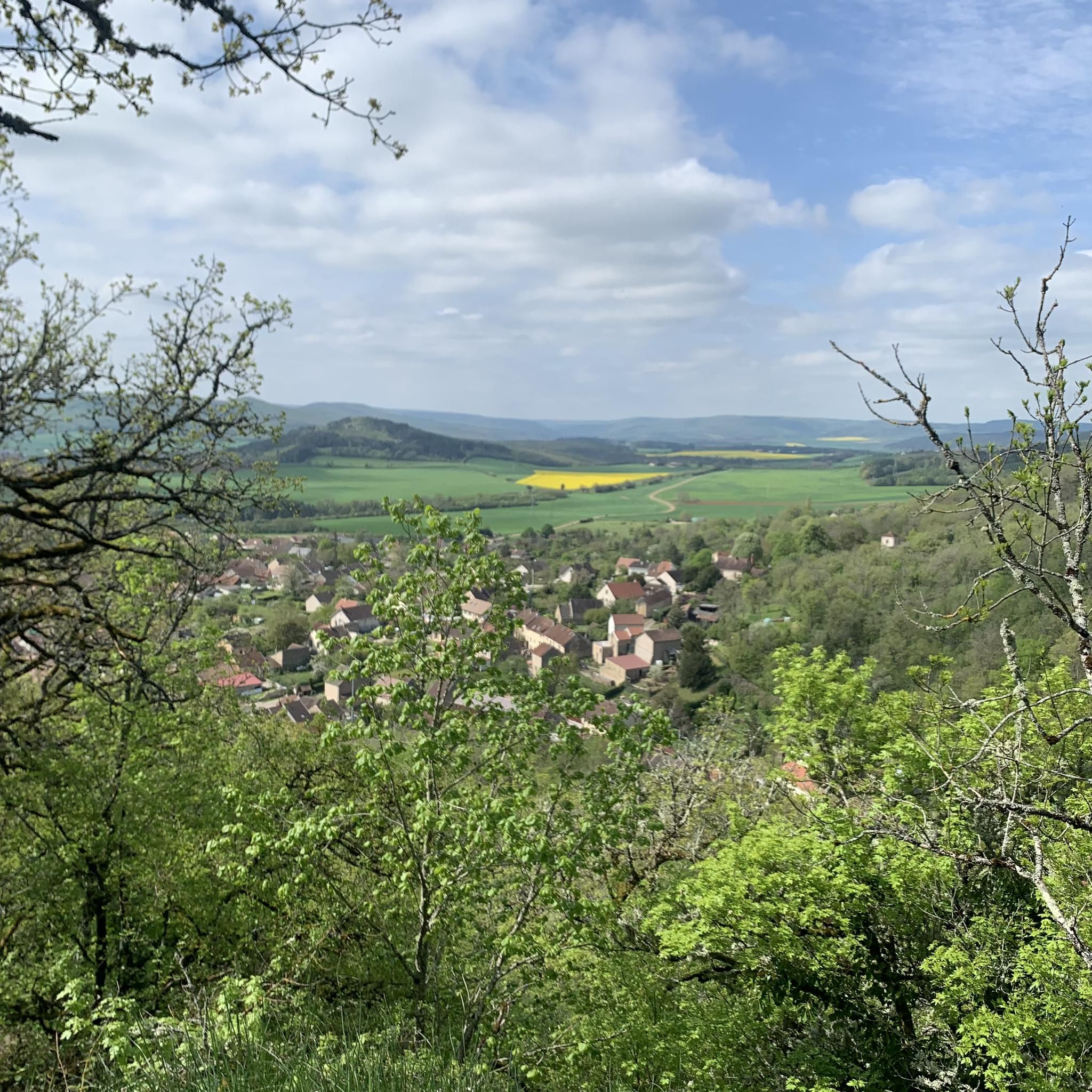
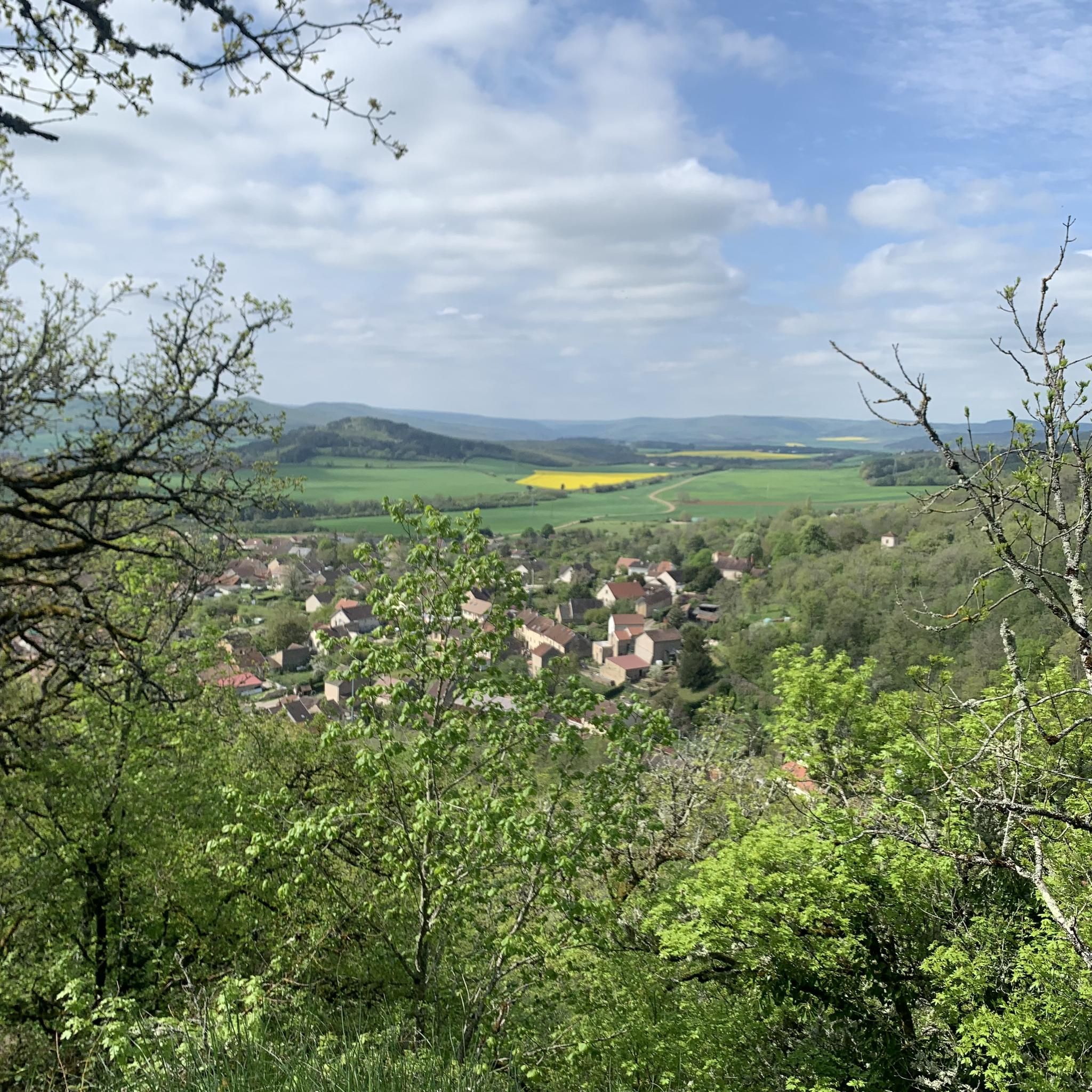
Panorama of the Baulme‑la‑Roche Rocks
Highlight • Natural Monument
Translated by Google •
Tip by

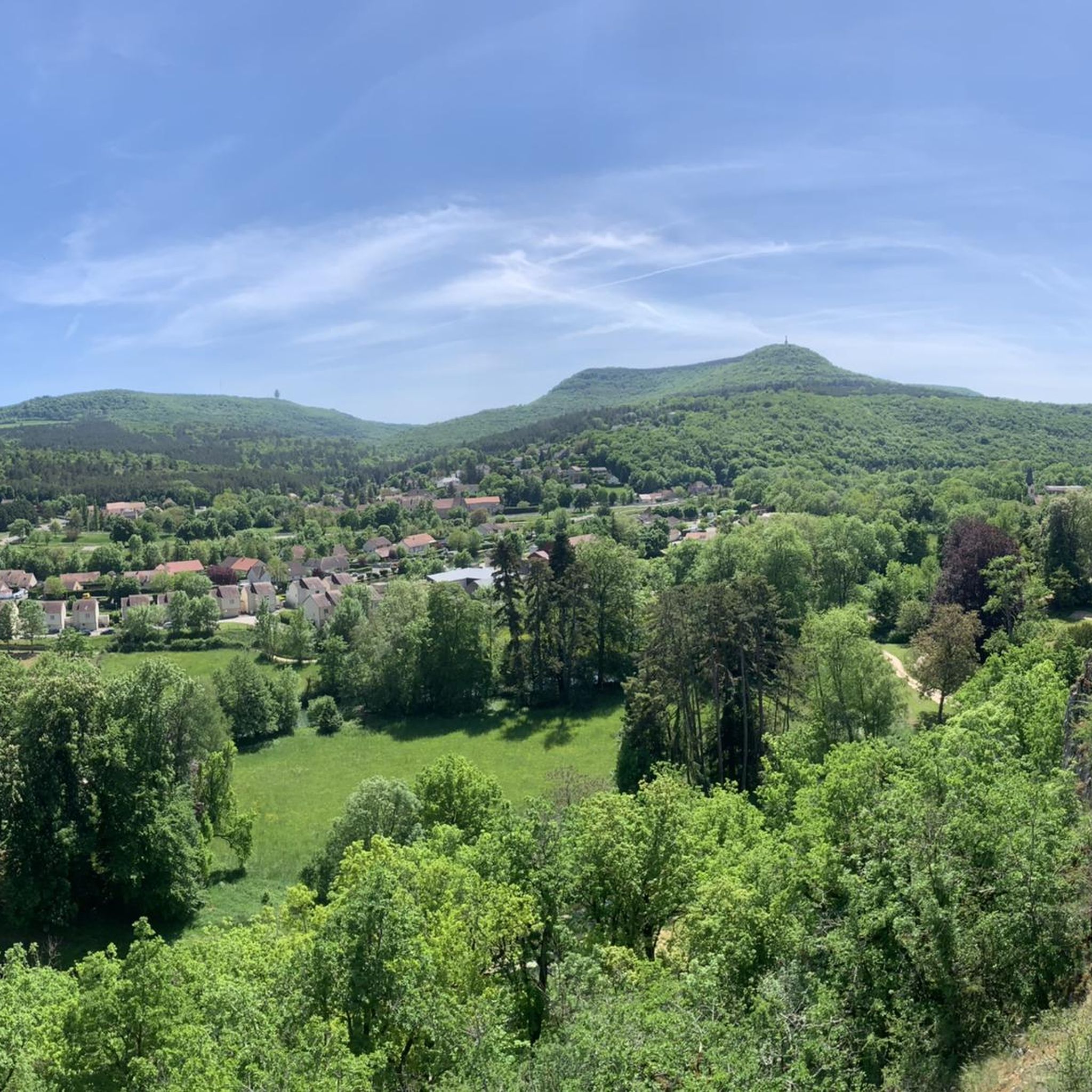
La Roche Virante
Highlight • Natural Monument
At the bottom …
Translated by Google •
Tip by

Sign up now to discover places like this
Get recommendations on the best single tracks, peaks, & plenty of other exciting outdoor places.
Sign up for free
Source of the Seine
Highlight • River
Translated by Google •
Tip by

Gouffre du creux Percé
Highlight • Viewpoint
Translated by Google •
Tip by

Celerons viewpoint
Highlight • Viewpoint
Translated by Google •
Tip by

Sign up for free to discover even more natural monuments around Francheville.
Sign up for free
Already have an account?
Start today with a free account
Your next adventure awaits.
Login or Signup

Tips from the Community

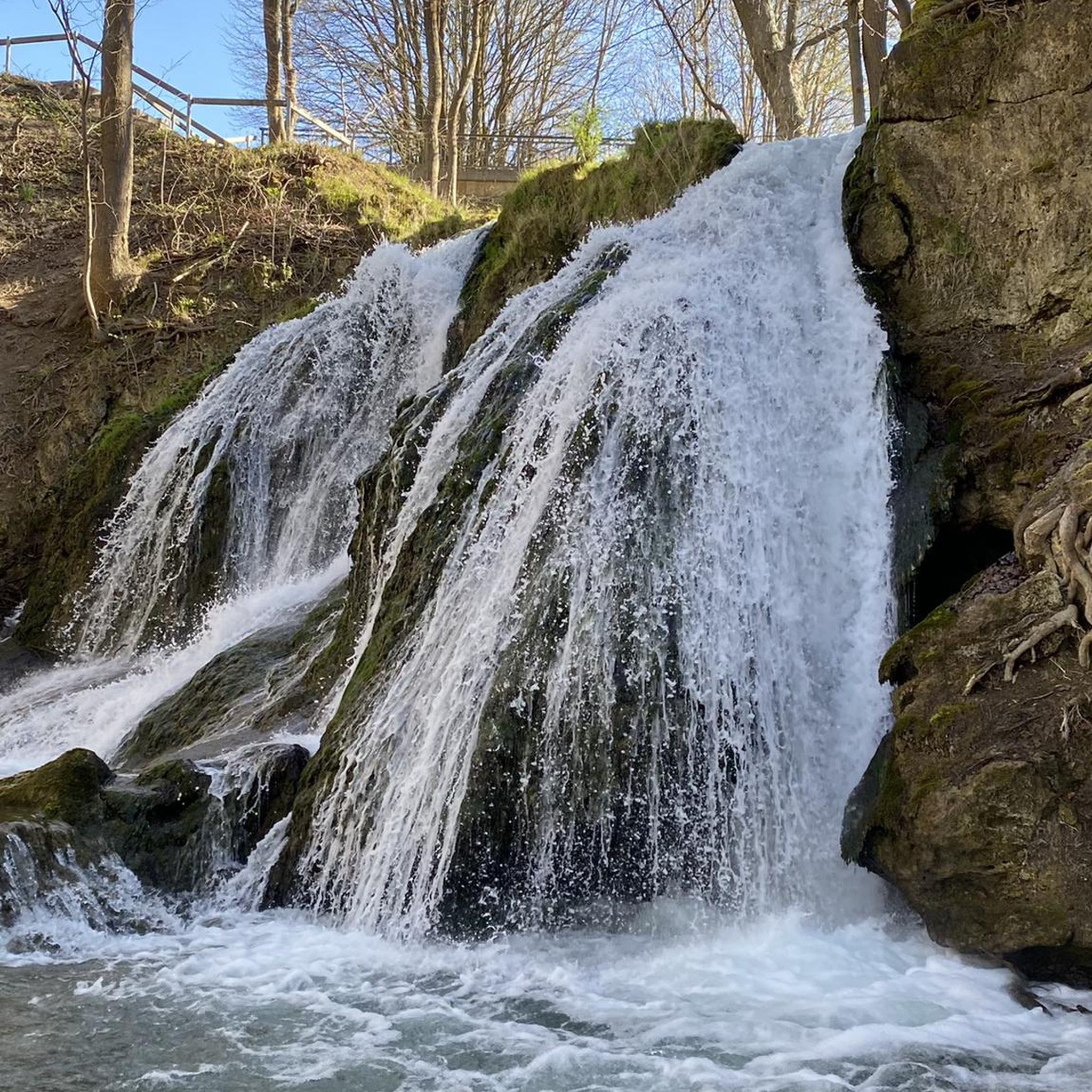
A bucolic, clean, well-maintained, and shaded spot, with tables and trash cans for picnicking. It's officially a Paris commune, but it looks nothing like Paris.
0
0

The Creux Percé is an inverted cone-shaped collapsed chasm approximately 60 m deep and with a circumference ranging from 35 to 25 m at the surface. This chasm is primarily known to speleologists. Exploration of this chasm and its lateral networks began in the 19th century. This site has long been a natural icehouse with a bottom that reaches sub-zero temperatures, even in summer. https://www.bourgogne-tourisme.com/ In May 2025, a special outing, supervised by the Dijon Speleo Club, will allow visitors to descend into this crater.
1
0
There's a signposted and very beautiful circular trail that includes the source of the Seine. Learn more on the official website here: https://www.cotedor-randonnee.com/
1
0
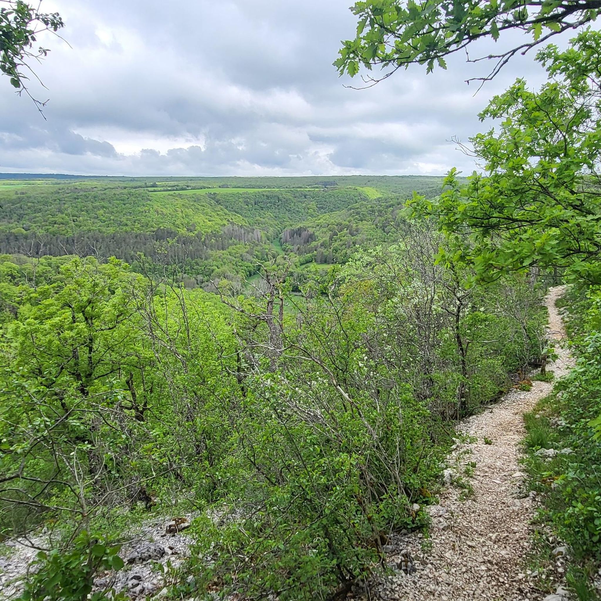
The Celerons viewpoint is accessible via a narrow path that branches off from the hiking trail. Caution! The path runs right along the edge of the cliffs. However, the view over the Combe des Vaux des Roches gorge and its foothills is fantastic and worth the short detour.
3
0

Wikipedia reports: "The source of the Seine is located on the plateau of Langres, 25 km north-west of Dijon in the Côte-d'Or department in the Bourgogne-Franche-Comté region, 470 m above sea level. A special feature is that the sources of the Seine were the property of the city of Paris from 1864 onwards. An artificial grotto was built a year later to protect the main source and a statue of a nymph was erected to symbolize the river. Paris has since returned the property to the region. Near the source are the remains of a Gallo-Roman temple in which a Dea Sequana (Latin goddess of the Seine) was worshipped. The archaeological finds from this are now in the archaeological department of the Musée des Beaux-Arts in Dijon."
2
1

The Seine is a river 777 km long and flows into the English Channel.
4
0

At the top of the valley, this huge rock is a top climbing spot. The view is also impressive.
2
0
From the top of these cliffs, the panoramic view is magnificent. The cliffs have a height of about 100 meters and a dizzying drop, so you have to be careful.
6
0
Frequently Asked Questions
What are the most popular natural monuments near Francheville?
Visitors frequently enjoy the Celerons viewpoint, which offers fantastic views over the Combe des Vaux des Roches gorge. Another highly rated spot is the Panorama of the Baulme‑la‑Roche Rocks, known for its magnificent panoramic views of the Baulme la Roche valley. The Source of the Seine is also a popular destination, offering a spacious meadow perfect for picnics.
Are there family-friendly natural sites around Francheville?
Yes, several natural sites are suitable for families. The Panorama of the Baulme‑la‑Roche Rocks is equipped for family picnics with marked paths. The Source of the Seine features a spacious meadow and wooden tables, ideal for playing Frisbee or having a picnic. Francheville's general green spaces and the Valley of the Yzeron also offer gentle trails for family walks.
What kind of natural features can I expect to see in the Francheville area?
Francheville, known as the 'greenest town' in the Metropole de Lyon, features a landscape of alternating valleys and plateaux. You'll find well-preserved green spaces, river valleys like the Yzeron with its old mills, and extensive wooded areas. Notable natural monuments include dramatic rock formations and cliffs such as the Baulme‑la‑Roche Rocks and La Roche Virante, as well as significant viewpoints like Celerons viewpoint. You can also visit the Source of the Seine, the starting point of one of France's most famous rivers.
Are there any caves or unique geological formations to explore?
Yes, the area features some interesting geological sites. La Roche Virante is known for its cliffs and a cave referred to as 'the cave of wolves.' Further afield, the Gouffre du creux Percé is an impressive chasm or sinkhole, approximately 60 meters deep, primarily known to speleologists. It was historically a natural icehouse.
What outdoor activities can I do near these natural monuments?
The natural monuments and green spaces around Francheville are excellent for various outdoor activities. You can enjoy hiking and mountain biking on numerous trails, such as those found in the Valley of the Yzeron or the wooded site of the Fort du Bruissin. For more structured routes, you can explore options like the 'Circuit VTT 211 - Le Pont de Chêne' or find many other MTB Trails around Francheville, Road Cycling Routes around Francheville, and general Cycling routes around Francheville.
Are there good viewpoints in the Francheville region?
Absolutely. The Celerons viewpoint offers a fantastic perspective over the Combe des Vaux des Roches gorge. The Panorama of the Baulme‑la‑Roche Rocks provides a magnificent panoramic view of the Baulme la Roche valley, its picturesque village, and the Ouche valley. Additionally, La Roche Virante also offers impressive views of the Ouche valley.
What is the Valley of the Yzeron and what does it offer?
The Valley of the Yzeron is a verdant haven in Francheville, known for its old mills and well-marked trails. It provides a tranquil green setting for walks and a connection with nature, making it a popular spot for city dwellers seeking an escape. The Yzeron river is one of two watercourses that define Francheville's neighborhoods, contributing to its rich natural landscape. You can find more information about the Val d'Yzeron here.
Can I find historical sites integrated with nature in Francheville?
Yes, Francheville successfully blends history with its natural environment. The Fort du Bruissin, while a former military fort, is set within a 10-hectare wooded site. It's recognized for combining culture, heritage, and natural spaces, offering an 'undergrowth loop alley' for visitors to explore its natural surroundings. The Valley of the Yzeron also features old mills along its paths, adding a historical dimension to its natural beauty.
What is the difficulty level of hiking trails around Francheville's natural monuments?
The difficulty varies. Many of Francheville's green spaces and the Valley of the Yzeron offer leisurely strolls and easy walks. However, some natural monuments, like La Roche Virante, are noted for intermediate to challenging hiking and even climbing opportunities. The path to Celerons viewpoint can be narrow and runs along cliff edges, requiring caution. Always check specific trail details before heading out.
Is it possible to have a picnic at these natural sites?
Yes, many natural sites around Francheville are suitable for picnics. The Source of the Seine has a spacious meadow with wooden tables specifically for picnics. The Panorama of the Baulme‑la‑Roche Rocks also has areas equipped for family picnics. The general green spaces and valleys of Francheville provide numerous pleasant spots to enjoy a meal outdoors.
What is the best time to visit the natural monuments around Francheville?
Francheville's natural areas are enjoyable throughout much of the year. Spring and autumn offer pleasant temperatures for hiking and exploring the green spaces and valleys. Summer is ideal for picnics and longer outdoor activities, though it can be warmer. Even in winter, some trails remain accessible, offering a different, serene perspective of the landscape, especially in wooded areas like the Fort du Bruissin.
Most popular routes around Francheville
Most popular attractions around Francheville

Get inspired with the komoot mobile app


Explore more
Extend your search for the best caves by checking out these guides of the top ones around Francheville:
