The best walks and hikes around Laudert
4.5
(5740)
19,664
hikers
10
hikes
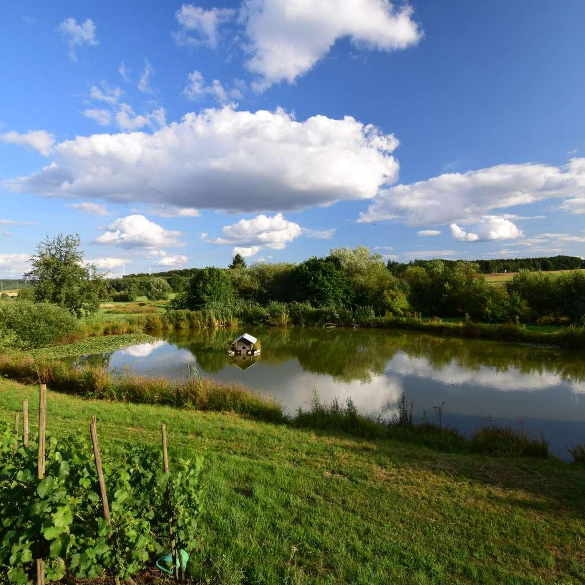
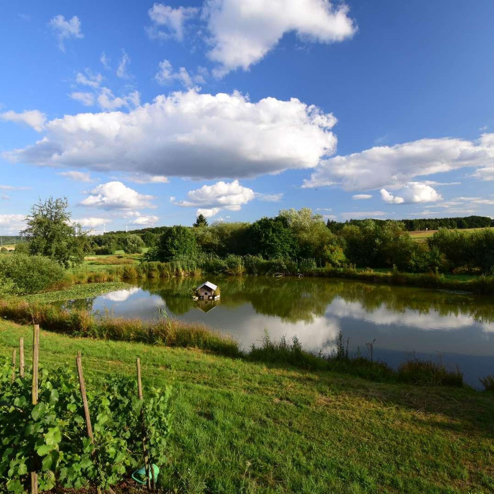
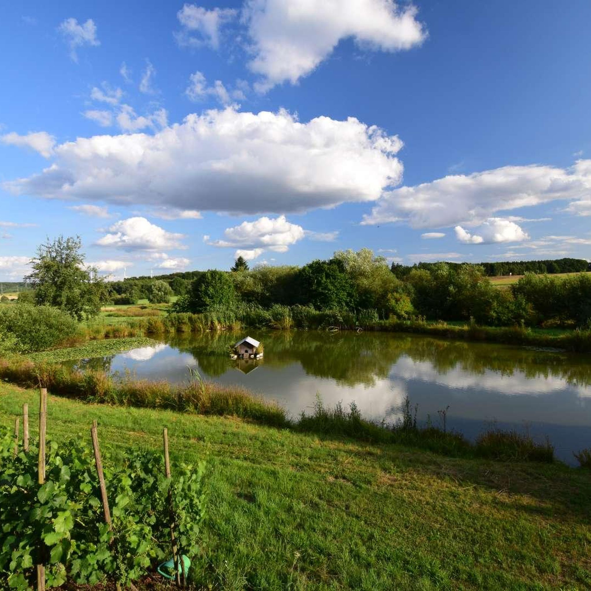
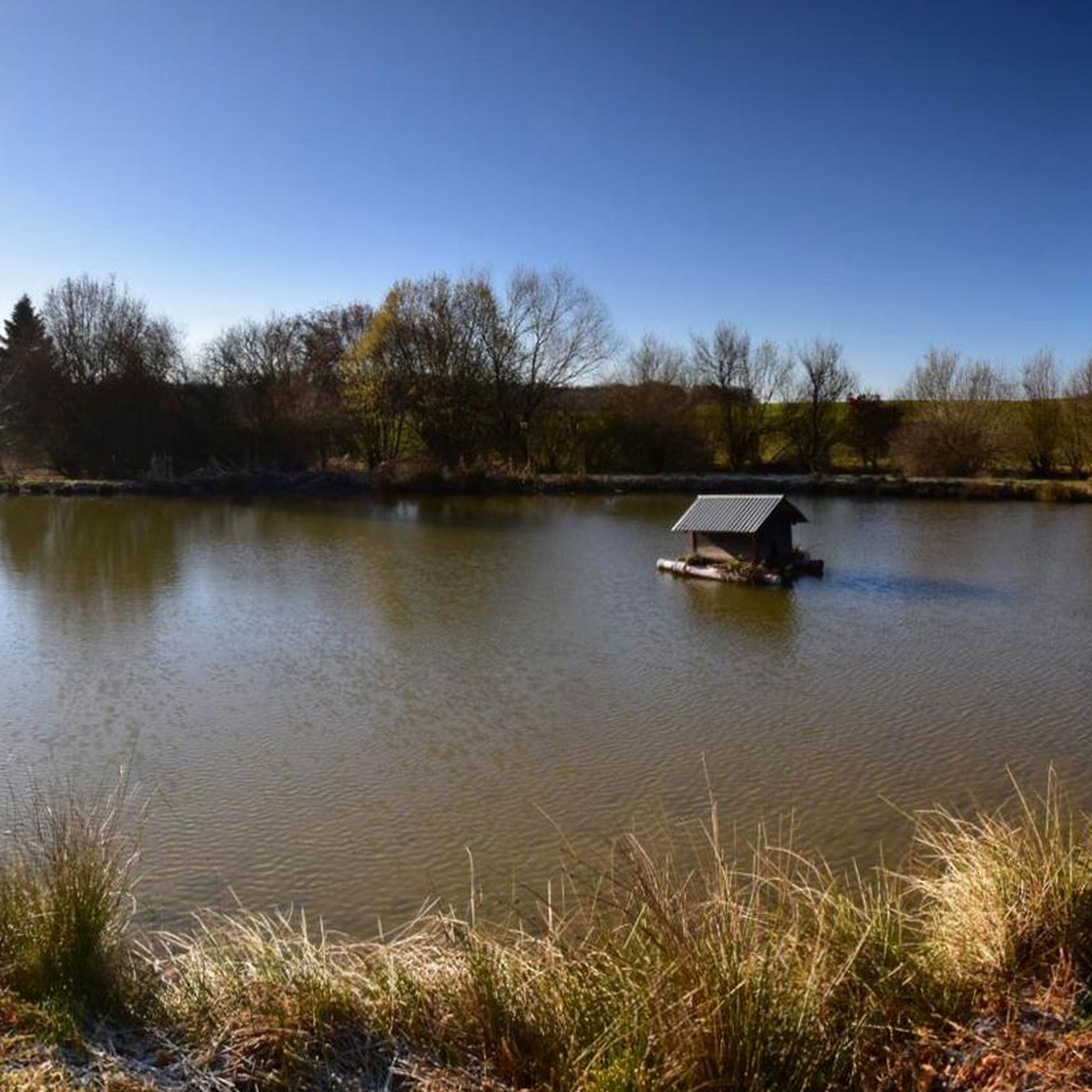
Hiking around Laudert offers a variety of trails through the Hunsrück region, characterized by rolling hills, dense woodlands, and stream valleys. The landscape features a mix of open fields, forested sections, and small bodies of water. Elevation changes are generally moderate, making the area accessible for various hiking abilities.
Best hiking trails around Laudert
- The most popular hiking route is Pond by the Tennis Court – Dombachaue Grazing Project loop from Laudert, a 9.5 miles (15.3 km) trail that…
Last updated: July 1, 2026
4.8
(9)
39
hikers
9.92km
02:40
120m
120m
Moderate hike. Good fitness required. Easily-accessible paths. Suitable for all skill levels.
4.5
(2)
14
hikers
3.39km
00:54
40m
40m
Easy hike. Great for any fitness level. Easily-accessible paths. Suitable for all skill levels.

Sign up for free
4.2
(29)
69
hikers
15.4km
04:10
220m
220m
Moderate hike. Good fitness required. Easily-accessible paths. Suitable for all skill levels.
5.0
(2)
3
hikers
6.51km
01:47
100m
100m
Easy hike. Great for any fitness level. Easily-accessible paths. Suitable for all skill levels.
6
hikers
8.53km
02:21
140m
140m
Moderate hike. Good fitness required. Easily-accessible paths. Suitable for all skill levels.
Get access to more routes and recommendations from other explorers.
Sign up for free
Already have an account?
Our route recommendations are based on thousands of hikes, rides, and runs completed by other people on komoot.
Start today with a free account
Your next adventure awaits.
Login or Signup
Tips from the Community

Cool thing, there are a few of them now in the Hunsrück and always with a good view
0
0

There are numerous such benches along the way
0
0
Beautiful picnic and viewing platform
0
0

Frequently Asked Questions
What kind of terrain can I expect on hikes around Laudert?
Hiking around Laudert offers a diverse landscape characterized by rolling hills, dense woodlands, and stream valleys. You'll encounter a mix of open fields, forested sections, and small bodies of water. Elevation changes are generally moderate, making the area accessible for various hiking abilities.
Are there any easy hiking trails suitable for beginners in Laudert?
Yes, Laudert has several easy trails. For a shorter, gentle walk, consider the Pond by the Tennis Court loop from Laudert, which is about 3.4 km. Another accessible option is the Laudert Giant Bench – XXL Bench Laudert loop from Laudert, covering 6.5 km with moderate ascents.
What are some notable natural attractions or viewpoints to see while hiking in Laudert?
The area around Laudert features several interesting natural monuments and viewpoints. You might enjoy the views from the Spitzenstein Observation Tower or the Seven Virgins Viewpoint. The tranquil Water Lily Pond and the scenic Seelenbach Valley are also worth exploring.
Are there any circular hiking routes available in Laudert?
Many of the trails around Laudert are circular, offering convenient starting and ending points. A popular moderate circular route is the Pond by the Tennis Court – Dombachaue Grazing Project loop from Laudert, which is 15.3 km long and takes about 4 hours 10 minutes.
What do other hikers enjoy most about the trails in Laudert?
The hiking trails in Laudert are highly regarded by the komoot community, with an average rating of 4.6 stars from over 5,200 reviews. Hikers often praise the blend of natural scenery, including forest paths and open fields, and the well-maintained routes that cater to various fitness levels.
Are there any family-friendly hiking options in Laudert?
For families, the trails with moderate elevation changes and interesting landmarks are ideal. The Rapunzel Tower Playground – Chamber Pot Museum loop from Laudert, at 8.5 km, offers a mix of natural settings and local points of interest that can be engaging for children.
Can I find any historical or cultural points of interest along the hiking routes?
Yes, the region has a history tied to mining. You can explore several old slate mines, such as the Steeg Slate Mine or the Upper and Lower Laykaul Slate Caves. These offer a glimpse into the area's industrial past.
How many hiking trails are there in Laudert?
There are 10 hiking trails available in Laudert, offering a good variety of options for different preferences and fitness levels.
What is the typical duration for a moderate hike in Laudert?
Moderate hikes in Laudert typically range from 2.5 to 4 hours. For example, the Bench Near Gringsmühle – Ölmühle Kisselbach Biotope loop from Laudert is a 9.9 km moderate path that usually takes around 2 hours 40 minutes to complete.
What is the best time of year to go hiking in Laudert?
The Hunsrück region, where Laudert is located, is generally pleasant for hiking from spring through autumn. Spring brings blooming wildflowers, summer offers lush greenery, and autumn showcases vibrant fall foliage. Winter hiking is also possible, but trails may be muddy or icy, requiring appropriate gear.
Are there any trails that pass through unique ecological areas?
Yes, the Bench Near Gringsmühle – Ölmühle Kisselbach Biotope loop from Laudert specifically leads through biotope areas, offering a chance to experience unique local ecosystems and observe diverse flora and fauna.
Most popular attractions around Laudert

Get inspired with the komoot mobile app


Explore more
Browse the best Hikes in other regions.
