The best road cycling routes around Lauchheim
4.7
(20)
331
riders
48
rides
Road cycling routes around Lauchheim feature varied terrain with a mix of ascents, descents, and scenic paths. The region is characterized by many ups and downs, including routes with over 500 meters of elevation gain, and its proximity to the Swabian Alb offers diverse landscapes. Cyclists can expect a blend of forest and field paths alongside lightly trafficked roads, providing varied cycling experiences. This landscape provides options for both challenging rides and more relaxed excursions, often along river valleys like…
Last updated: July 4, 2026
19
riders
54.8km
02:31
460m
460m
Moderate road ride. Good fitness required. Some segments of this route may be unpaved and difficult to ride.
14
riders
Moderate road ride. Good fitness required. Some segments of this route may be unpaved and difficult to ride.

Sign up for free
5.0
(1)
14
riders
38.5km
01:42
330m
330m
Moderate road ride. Good fitness required. Some segments of this route may be unpaved and difficult to ride.
4.0
(1)
15
riders
63.5km
02:57
700m
700m
Moderate road ride. Good fitness required. Mostly well-paved surfaces and easy to ride.
5.0
(1)
10
riders
115km
05:09
780m
780m
Hard road ride. Very good fitness required. Some segments of this route may be unpaved and difficult to ride.
Get access to more routes and recommendations from other explorers.
Sign up for free
Already have an account?
Our route recommendations are based on thousands of hikes, rides, and runs completed by other people on komoot.
Start today with a free account
Your next adventure awaits.
Login or Signup

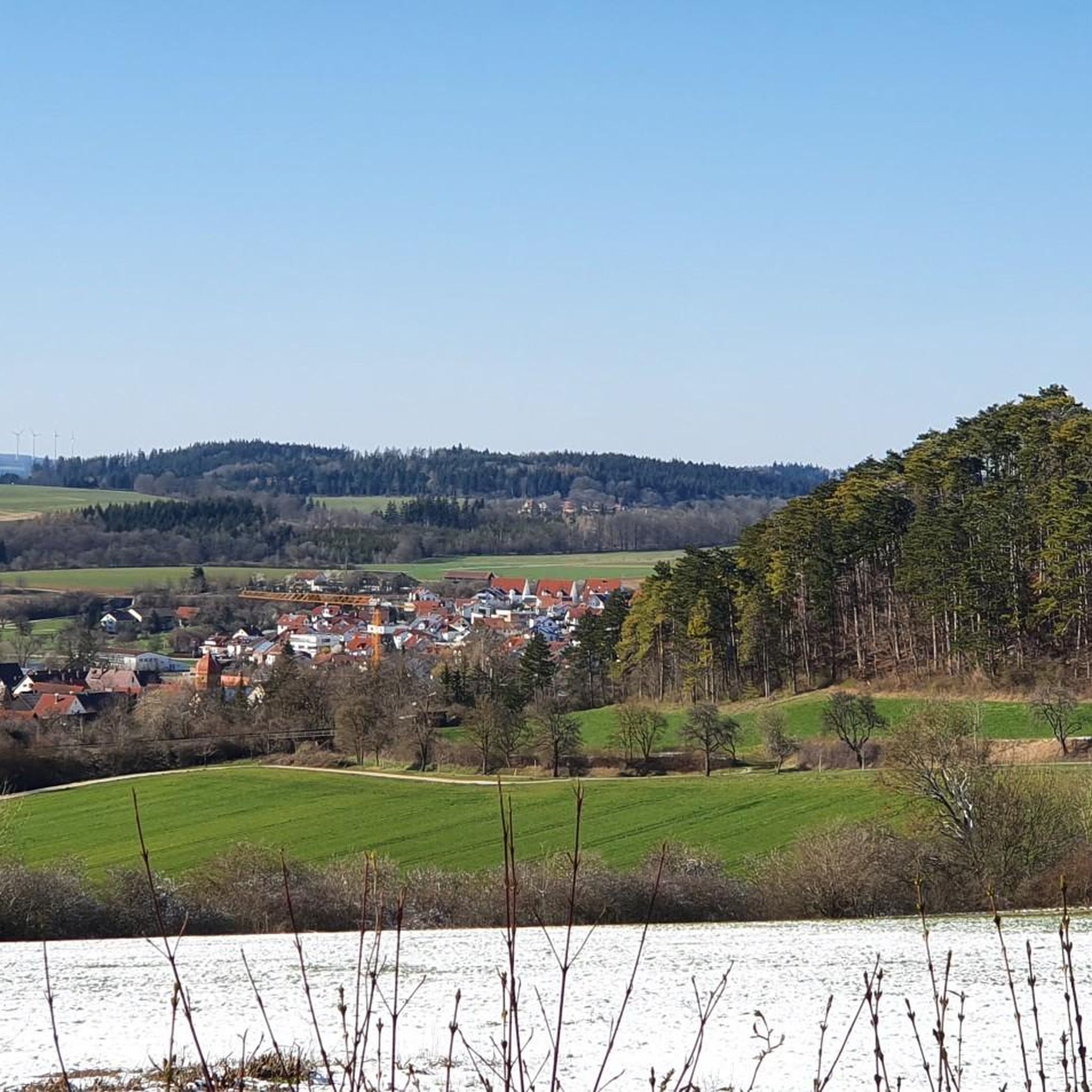
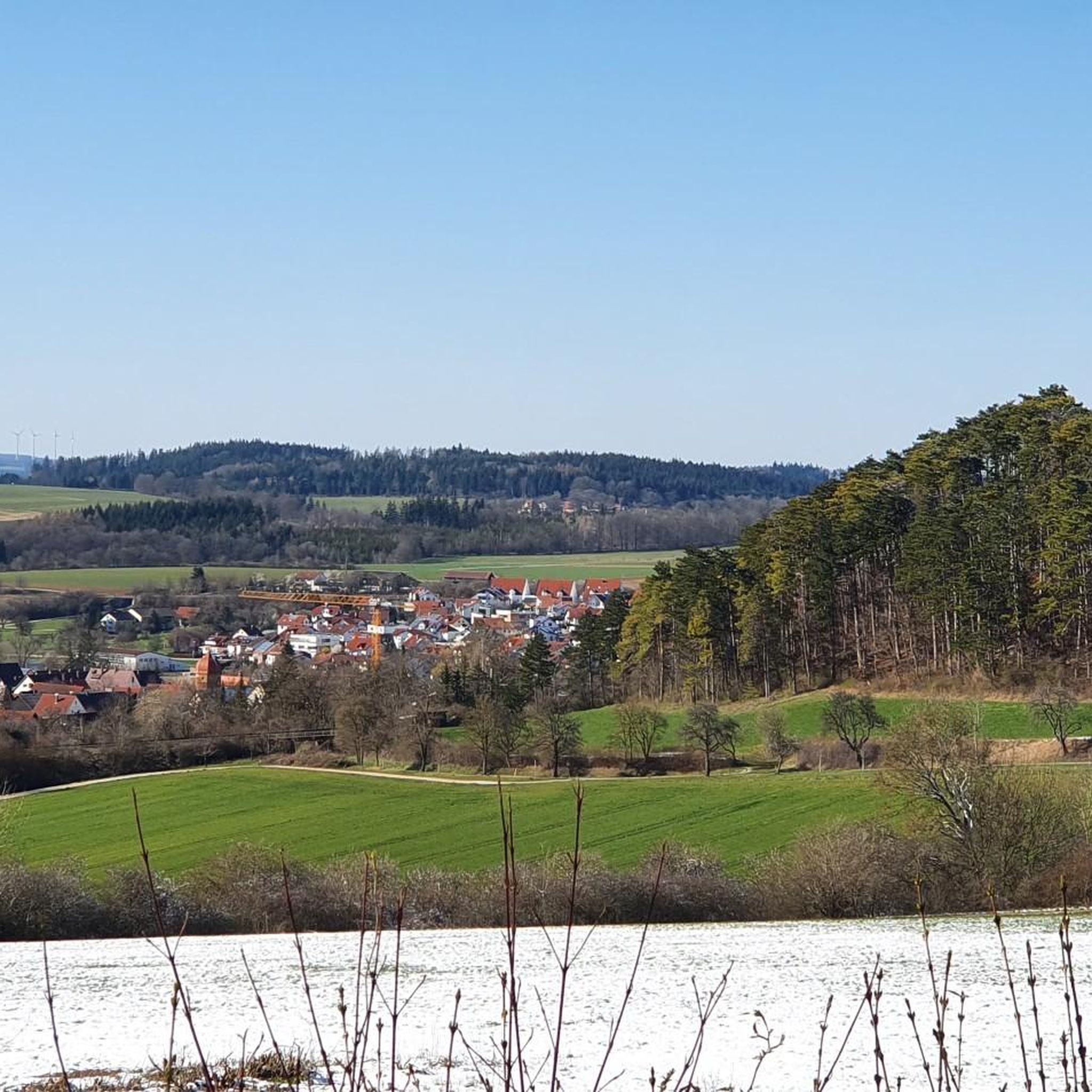
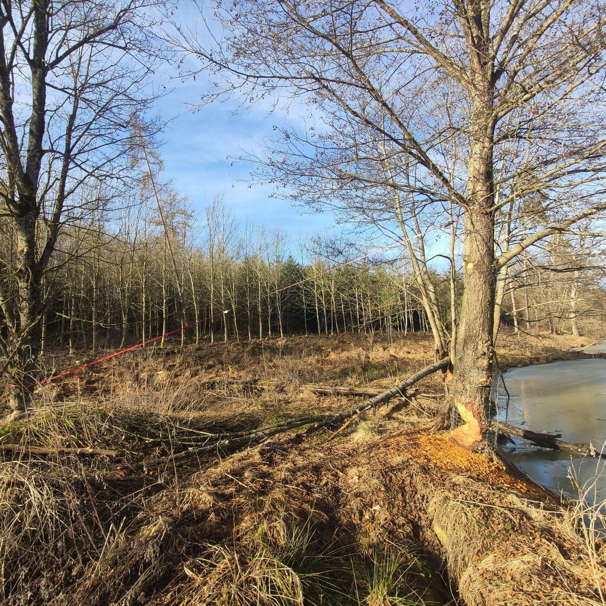
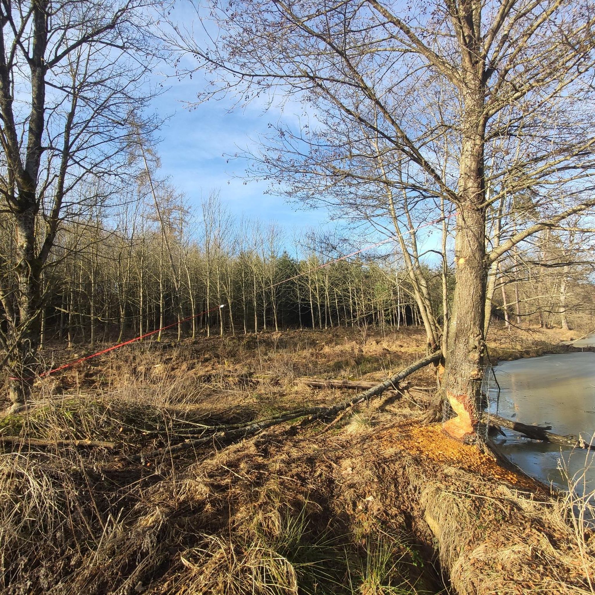
Other adventures around Lauchheim

Tips from the Community

Always beautiful again - I'll gladly come back
1
0

Always beautiful and worth seeing
0
0

You have to see this! So beautiful :-)
0
0

For the past few years, restaurants have offered the option of sitting outside.
0
0
Magnificent view of the castle, whatever the season
2
0

The Eichkapele belongs to the parish of Schönenberg
4
0

The Baldinger Tor in Nördlingen is one of the five historical city gates and was first mentioned in 1376. It secured the road towards Würzburg and Frankfurt am Main and was part of the medieval city fortifications. The barbican was completed in 1406 by Master Wenzeslaus, and in 1430 a reconstruction took place under the direction of stonemason Conrad Stenglin. Originally, the gate structure resembled the Berger Tor: a rectangular main gate building with an almost square barbican. The tower was five stories high and had a round superstructure with a gun embrasure and a tent roof. During the Thirty Years' War, the gate was damaged, and in 1703 the tower unexpectedly collapsed – presumably due to insufficient repairs. Five people lost their lives.
8
0
The "Daniel" church tower of St. George's Church in Nördlingen is the town's most visible landmark and a masterpiece of late Gothic architecture. At 90 meters high, the tower rises above the town's rooftops and offers a spectacular panoramic view of the Nördlinger Ries region – on a clear day, up to 99 church towers can be seen. Construction began in 1454 and was completed in 1490 with a temporary roof. After a lightning strike in 1537, the tower received its characteristic Italian dome. Originally known as the "Wendelstein," it was renamed "Daniel" in the 19th century – an allusion to the biblical figure Daniel, who was elevated to the rank of prince. The Daniel tower is particularly vividly brought to life by a centuries-old tradition: Every evening between 10 p.m. and midnight, the watchman calls out "So G'sell, so!" from the tower room. – a greeting that dates back to a legend from 1440 in which a runaway sow helped uncover a treason and save the city from an attack. Those who climb the more than 350 steps to the viewing platform will be rewarded not only with an impressive panorama but also with a sense of the history and soul of this unique city.
9
1
Frequently Asked Questions
What kind of terrain can I expect when road cycling in Lauchheim?
The Lauchheim region offers a varied terrain with a mix of ascents, descents, and scenic paths. You'll encounter many ups and downs, with some routes featuring over 500 meters of elevation gain, providing a good challenge. The routes blend forest and field paths with lightly trafficked roads, often featuring well-maintained paved surfaces like asphalt and concrete.
How many road cycling routes are available around Lauchheim?
There are over 50 road cycling routes available around Lauchheim, catering to various skill levels. This includes 4 easy routes, 42 moderate routes, and 7 difficult routes, ensuring options for everyone from beginners to experienced cyclists.
What natural attractions can I see along the road cycling routes in Lauchheim?
Many routes in Lauchheim feature beautiful natural attractions. The Bucher Reservoir is a central highlight, offering picturesque views and opportunities for relaxation. You might also encounter the Source of the Weiße Kocher or the Stausee Stockmühle Nature Reserve.
Are there any historical or cultural landmarks to explore while cycling?
Yes, several routes offer glimpses of historical and cultural landmarks. For instance, the Kapfenburg Castle – Wasseralfingen Castle loop from Lauchheim provides views of Kapfenburg Castle. You might also pass by the Dalkingen Limes Gate or the Chapel Maria by the Oak.
Are there any circular road cycling routes in Lauchheim?
Many of the road cycling routes around Lauchheim are designed as loops, allowing you to start and end in the same location. Popular examples include the Bucher Reservoir – Bucher Reservoir loop from Lauchheim and the Wasser – Bucher Reservoir loop from Lauchheim.
What is the best time of year for road cycling in Lauchheim?
The region is generally suitable for road cycling from spring through autumn. The varied terrain and natural beauty are particularly enjoyable during these seasons. Always check local weather forecasts before heading out.
Are there family-friendly road cycling routes in Lauchheim?
Yes, Lauchheim offers several easy routes suitable for families. The Bucher Reservoir – Bucher Reservoir loop from Lauchheim is an easy 35.5 km (22.0 miles) route that circles the picturesque reservoir, making it a great option for a family outing.
Are there good viewpoints on the Lauchheim road bike routes?
While specific viewpoints are not always marked on every route, the region's 'many ups and downs' often lead to elevated sections offering expansive views. The Aalbäumle Observation Tower, though a hiking destination, provides panoramic views of the Aalen and Welland areas, and can be a rewarding stop if your route passes nearby.
What do other road cyclists say about the routes in Lauchheim?
The road cycling routes in Lauchheim are highly rated by the komoot community, with an average score of 4.9 stars from over 30 reviews. Cyclists often praise the varied terrain, scenic paths, and the blend of forest and field roads with lightly trafficked sections.
Is there parking available for cyclists in Lauchheim?
Yes, Lauchheim is generally cyclist-friendly, and you can find parking options in and around the town, especially near popular starting points for routes. Specific parking details may vary by route, so it's advisable to check the route description for recommended parking spots.
Can I reach Lauchheim's cycling routes by public transport?
Lauchheim has public transport connections that can facilitate access to its cycling routes. While specific details for carrying bikes on public transport may vary, regional buses and trains often offer options for cyclists. It's recommended to check local transport schedules and bike policies in advance.
Are there cafes or pubs along the road cycling routes in Lauchheim?
The Lauchheim region offers opportunities for refreshment. The Bucher Reservoir, a popular spot on several routes, features a kiosk. Additionally, the Aalbäumle Observation Tower has a hut with a beer garden. You'll find cafes and pubs in Lauchheim itself and in the smaller towns and villages you pass through.
Most popular attractions around Lauchheim

Get inspired with the komoot mobile app


Explore more
Browse the best Road cycling routes in other regions.
