Top 6 Mountain Passes around Saint-Dizier-En-Diois
Mountain passes around Saint-Dizier-En-Diois offer access to the diverse landscapes of the Diois region in the Drôme department. The area features a significant altitude range, from 250 to over 2,400 meters, acting as a transitional zone between the Vercors Regional Natural Park and the Baronnies Provençales Regional Natural Park. This geographic position provides a blend of Alpine and Provençal characteristics, making it suitable for various outdoor activities. Saint-Dizier-En-Diois itself is one of the highest communes in the Drôme department, with…
Last updated: May 20, 2026
Prémol Pass
Highlight • Mountain Pass
Translated by Google •
Tip by

Col des Tourette (1126 m)
Highlight • Mountain Pass
Translated by Google •
Tip by

Sign up now to discover places like this
Get recommendations on the best single tracks, peaks, & plenty of other exciting outdoor places.
Sign up for free
Col de Rossas
Highlight • Mountain Pass
Translated by Google •
Tip by
Col de l'Archimbaou
Highlight • Mountain Pass
Translated by Google •
Tip by

Ascent to Col de Chamauche
Highlight • Mountain Pass
Translated by Google •
Tip by

Sign up for free to discover even more mountain passes around Saint-Dizier-En-Diois.
Sign up for free
Already have an account?
Start today with a free account
Your next adventure awaits.
Login or Signup
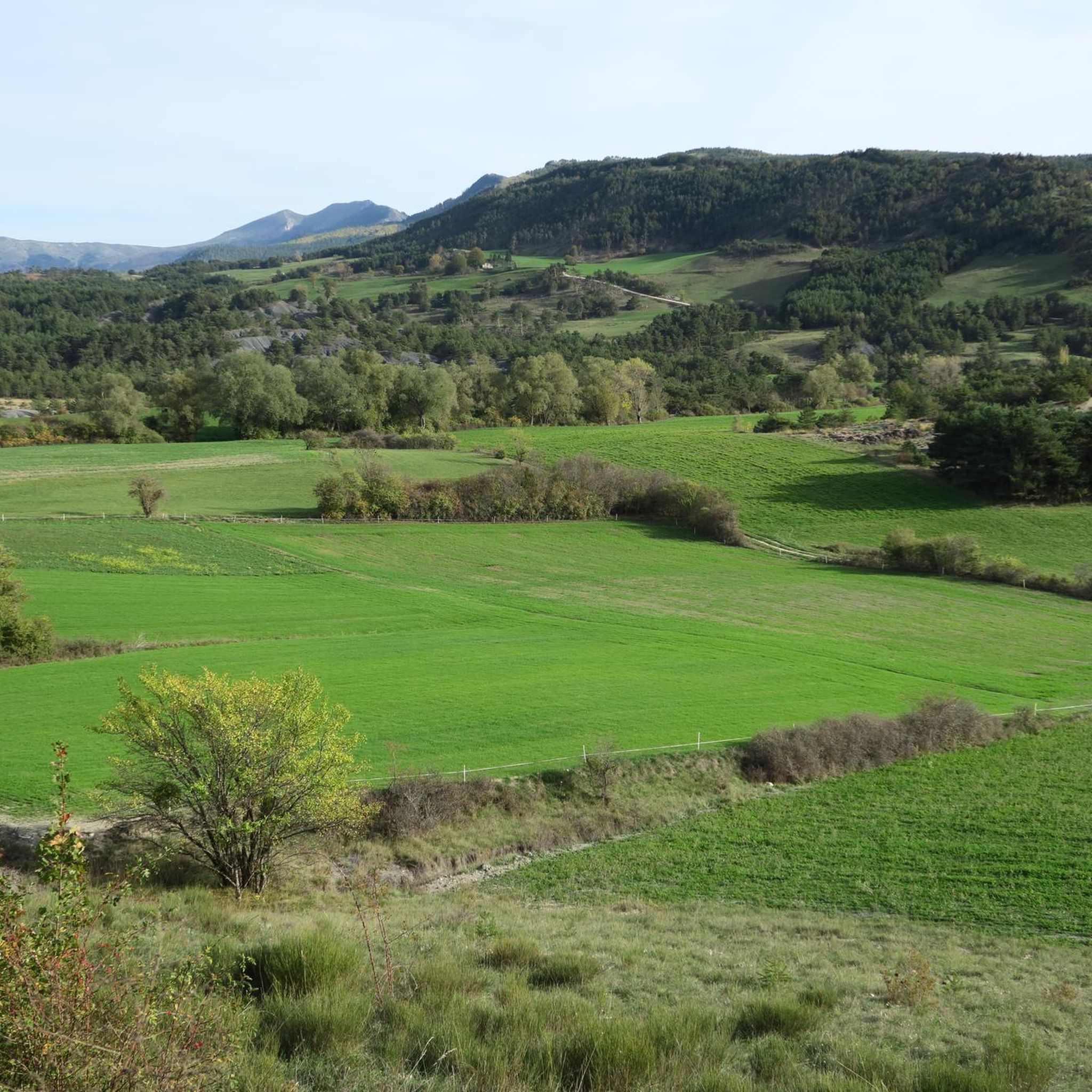
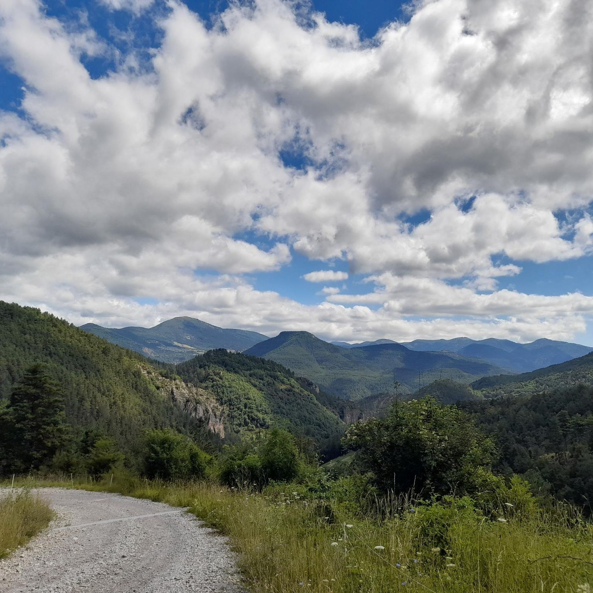
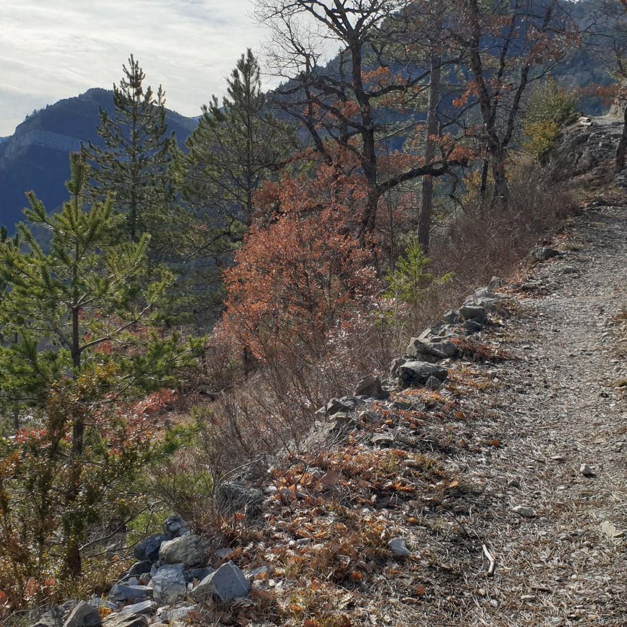
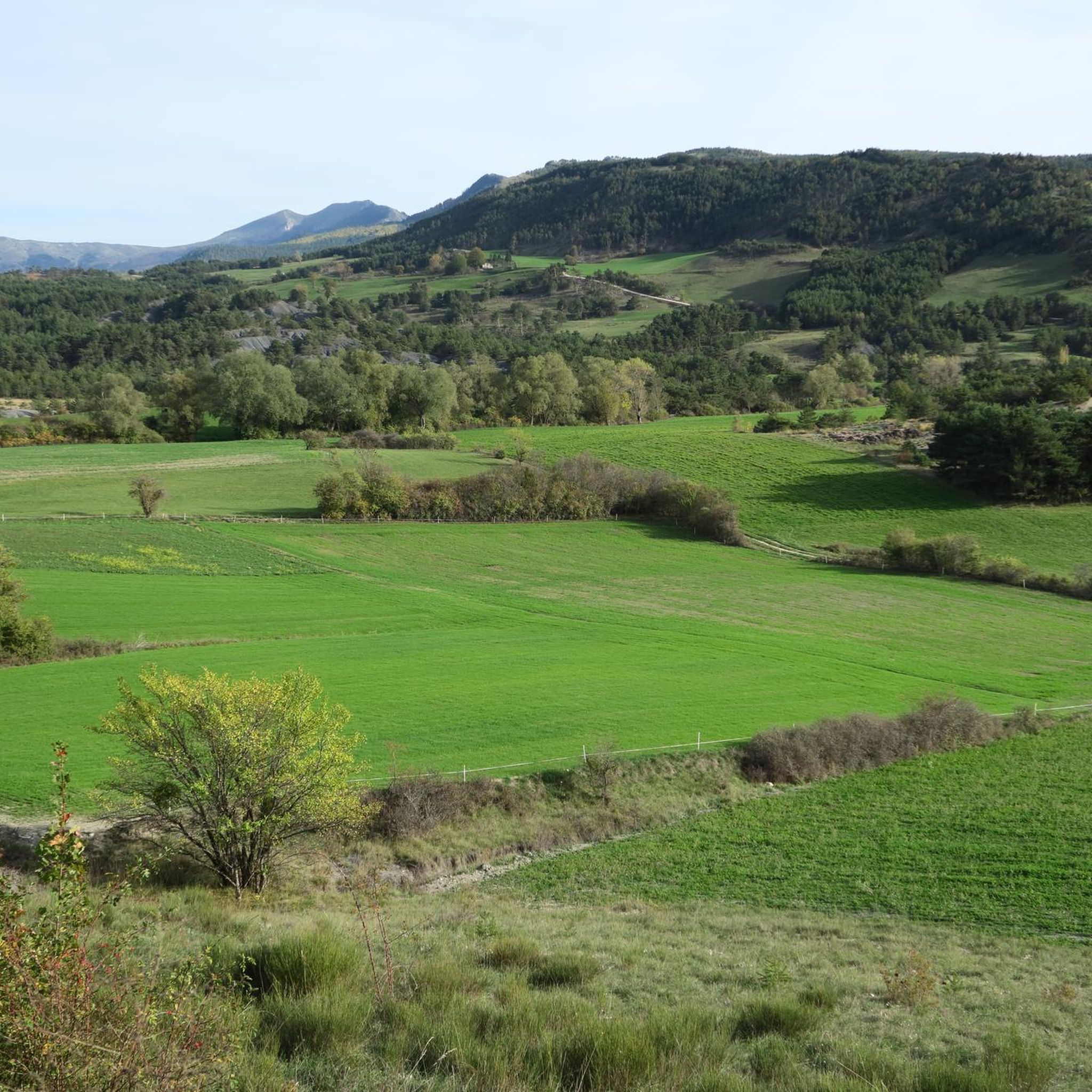
Tips from the Community

Pass easily accessible by mountain bike.
0
1

The D135 over another pass is currently closed for a short time, so a diversion is taking place over the Chamauche. However, there was no traffic here. Dull road, beautiful scenery.
3
0

The Col de l'Archimbaou is located at an altitude of 1,084 meters. The forest track which serves the pass is easily accessible.
2
0

To reach the pass, it takes around fifteen kilometers from the Oule valley. The slope becomes steeper from Montmorin where it is around 6%. The road winds between the mountains of Chauvet and Maraysse. The position offers a splendid view of these two mountains.
1
0
From Valdrôme, the Col de Rossas has 6.4 kilometers of ascent between 6.5 and 7%. It is located at an altitude of 1,115 meters in the Diois massif. The road is rather calm and it is not uncommon to come across sheep and goats in the surrounding pastures. In short, you are in a quiet corner. The place offers a superb view of the plateau where you have just climbed.
2
0
Small road pass on the D61 between Luc en Diois and La Charce. Between Drometal and Ouletal. Relatively little traffic, but due to the road closure in Bellegarde en Diois, until the beginning of July.
2
0

A small pass (963 meters) without particular difficulty with percentages between 3% and 5%.
4
0
Frequently Asked Questions
What are some notable mountain passes in the Saint-Dizier-En-Diois region?
The region offers a variety of mountain passes. Some notable ones include Col des Tourette (1126 m), known for its winding route and views of the Chauvet and Maraysse mountains. Prémol Pass is a smaller pass at 963 meters, appreciated for its relatively low traffic. Another is Col de l'Archimbaou, which features an easily accessible forest track.
Are there mountain passes suitable for cycling in the area?
Yes, several mountain passes are well-suited for cycling. Prémol Pass is a cycle way with gentle percentages between 3% and 5%. Col de Rossas also offers a cycle way with ascents around 6.5-7% from Valdrôme. Additionally, Col de l'Archimbaou is easily accessible by mountain bike via its forest track.
What kind of views can I expect from the mountain passes around Saint-Dizier-En-Diois?
The mountain passes offer diverse and splendid views. From Col des Tourette (1126 m), you can enjoy views of the Chauvet and Maraysse mountains. Col de Rossas provides superb views of the plateau you've ascended. The region itself is a transitional zone between the Vercors Regional Natural Park and the Baronnies Provençales Regional Natural Park, offering a blend of Alpine and Provençal landscapes.
Are there any less-trafficked mountain passes for a quieter experience?
Yes, Prémol Pass is known for its relatively low traffic, offering a peaceful cycling experience. Similarly, the road to Col de Rossas is described as rather calm, where you might even encounter sheep and goats in the surrounding pastures, indicating a quiet corner of the region.
What outdoor activities can I do near the mountain passes in Saint-Dizier-En-Diois?
The region around Saint-Dizier-En-Diois is excellent for various outdoor activities. You can find numerous options for hiking, cycling, and running. For hiking, explore routes like the Pré Pourri Cabin loop. Cycling enthusiasts can try the Col des Tourettes Loop or the Col de Premol – Saut de la Drôme loop. Running trails are also available, such as the running loop from La Motte-Chalancon. You can find more details on these activities in the hiking, cycling, and running guides for the area.
Are there specific hiking routes associated with these mountain passes?
While specific hiking routes directly over every pass aren't detailed, the region offers extensive hiking opportunities. The Col de Fond-Sauvage and Col de Charupia are part of a picturesque 9-kilometer loop starting in Saint-Dizier-en-Diois itself, celebrated as an 'ode to nature' ideal for hiking. The Grandes Traversées du Vercors (GTV) also provide well-marked routes for hiking in the broader area.
What is the best time of year to visit the mountain passes in the Diois region?
The Diois region offers activities year-round. While winter provides opportunities for snow sports, especially near Col de Rousset, the warmer months are ideal for hiking, cycling, and general exploration of the passes. The diverse landscape transitions from Alpine rigor to Provençal gentleness, making spring, summer, and autumn excellent for enjoying the natural surroundings and outdoor activities.
Are there family-friendly options among the mountain passes?
The region's diverse landscape and varying difficulty levels mean there are options for different experience levels. While specific 'family-friendly' categorizations for individual passes aren't provided, the easily accessible forest track of Col de l'Archimbaou could be suitable for families looking for a less strenuous outing. The general appeal of nature and scenic views can be enjoyed by all.
Can I find circular routes that include mountain passes?
Yes, there are circular routes available. For instance, the Col de Fond-Sauvage and Col de Charupia are part of a picturesque 9-kilometer loop that begins and ends in Saint-Dizier-en-Diois. For cyclists, the Col des Tourettes Loop is a popular option, and the Col de Premol – Saut de la Drôme loop also offers a circular cycling experience.
What are the typical difficulty levels for cycling these mountain passes?
The difficulty levels vary. Prémol Pass is considered to have no particular difficulty, with percentages between 3% and 5%. Col de Rossas involves ascents between 6.5% and 7% over 6.4 kilometers, indicating a moderate challenge. The route to Col des Tourette (1126 m) features slopes around 6% from Montmorin, suggesting an intermediate climb.
Where can I find more information about hiking and walks in the Diois region?
For more detailed information on walks and hikes in the broader Diois region, you can visit the local tourism website. They offer resources on various routes, including linear journeys. You can explore options at diois-tourisme.com.
What makes the landscape around Saint-Dizier-En-Diois unique?
The landscape around Saint-Dizier-En-Diois is unique due to its dramatic altitude changes, ranging from 250 to 2453 meters, and its position as a transitional zone. It bridges the Vercors Regional Natural Park and the Baronnies Provençales Regional Natural Park, offering a distinct blend of rugged Alpine terrain and gentle Provençal characteristics. This diversity creates a rich environment for outdoor exploration.
Are there any mountain passes that offer forest tracks for activities like mountain biking?
Yes, Col de l'Archimbaou is notable for its forest track. This track leads directly to the pass, which is situated at an altitude of 1,084 meters, and is easily accessible, making it suitable for mountain biking.
What amenities are available near the mountain passes, such as cafes or shelters?
While specific cafes directly at every pass are not detailed, the region's towns like Saint-Dizier-En-Diois and Luc-en-Diois offer amenities. For example, near the La Piarre to Col d'Arron Gravel Route, you can find a shelter at the pass for a break or an overnight stay, though there is no water available there.
Most popular routes around Saint-Dizier-En-Diois
Most popular attractions around Saint-Dizier-En-Diois

Get inspired with the komoot mobile app


Explore more
See even more epic mountain passes by checking out these guides around Saint-Dizier-En-Diois:
