Top 7 Bike Parks around Frelinghien
Best bike parks around Frelinghien are situated in the Nord department of the Hauts-de-France region, an area known for its network of VTT and gravel cycling routes. The landscape features river towpaths, agricultural lands, and varied terrain. This region offers diverse cycling experiences, from flat, scenic paths to challenging cobbled sections.
Best bike parks around Frelinghien
- The most popular bike parks is Singletrack of the End of the World, a mountain bike trail that runs through woods between the…
Last updated: July 2, 2026
Papestraat Trail
Highlight (Segment) • Trail
Translated by Google •
Tip by

Singletrack of the End of the World
Highlight (Segment) • MTB Park
Very pleasant but some sections go up steeply.
Translated by Google •
Tip by

Sign up now to discover places like this
Get recommendations on the best single tracks, peaks, & plenty of other exciting outdoor places.
Sign up for free
Gravel 🫶
Highlight • Trail
The towpath is very easily accessible via a gravel path with any type of bike. Otherwise, in the woods, there are …
Translated by Google •
Tip by
Allies' Path (Plugstreet)
Highlight (Segment) • Trail
Tip by

Bernikkewalle MTB Trail
Highlight (Segment) • MTB Park
Translated by Google •
Tip by

Sign up for free to discover even more bike parks around Frelinghien.
Sign up for free
Already have an account?
Start today with a free account
Your next adventure awaits.
Login or Signup
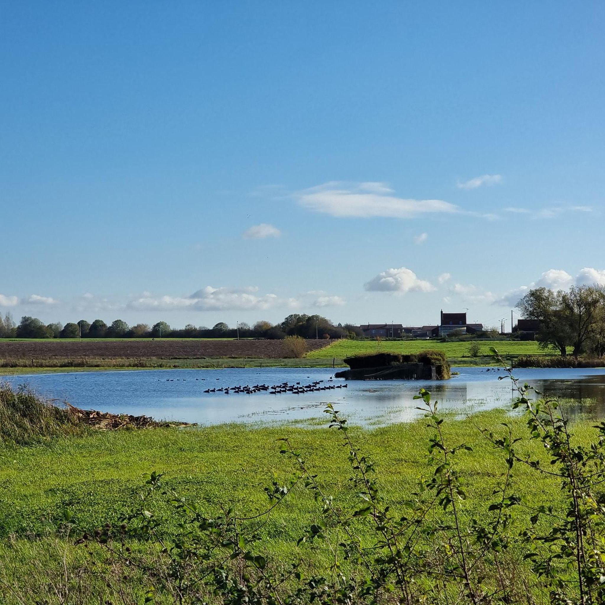
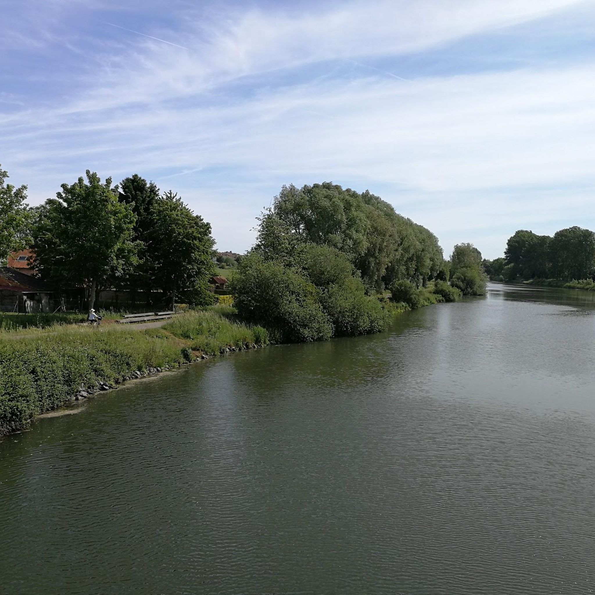
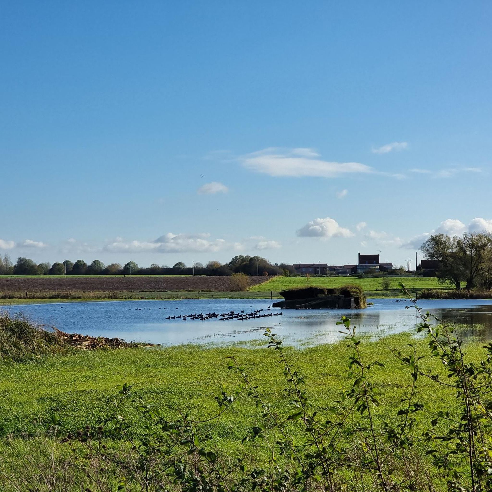
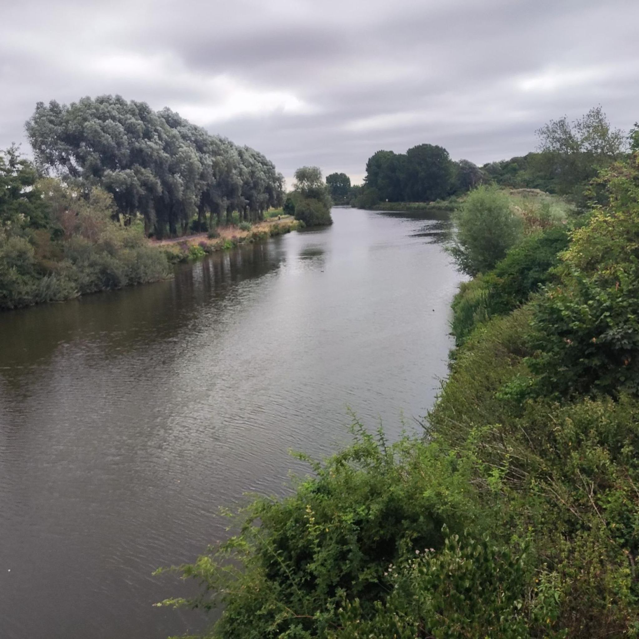

Tips from the Community

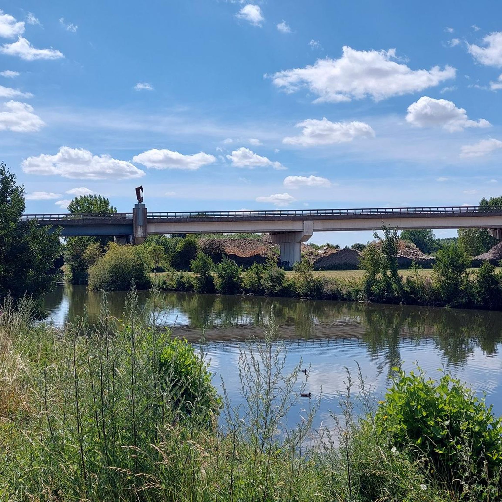
The section illustrated does not correspond to the towpath. The towpath is very easily accessible via a gravel path with any type of bike. Otherwise, in the woods, there are some great sections with a succession of singletrack trails in the Warneton woods, apart from a few bumps on special mountain bike logs on a few perpendicular sections. The rest is doable with any mountain bike or gravel bike, as long as it's dry and you're up for a bit of slaloming.
1
0

Ok for mountain bikes but gravel abstain.
0
0

The end of the world when you have to go back to Lille 😅 wooded areas very appreciable by mountain bike!
0
0
Very nice and careful because slippery when wet
3
0
Technical descent in wet weather! Be careful on cobbles that are of unequal size and over-inflated tires which could cause some slips. Rather to do in the direction of the descent.
2
0

Very nice path not too technical and little mud
0
0

This segment follows a part of the course of Gent-Wevelgem but not all it. Ends with a single track mtb descent. The GW Plugstreet follows Chemin Des Allies and then Plugstreet 1.
0
0
Frequently Asked Questions
What kind of terrain and natural features can I expect on bike trails around Frelinghien?
The cycling environment around Frelinghien is characterized by diverse terrain, including river towpaths, agricultural lands, and occasionally challenging cobbled sections. You'll find trails that wind through woods, offering scenic views and varied surfaces.
Where can I find challenging mountain biking trails around Frelinghien?
For a challenging experience, consider the Papestraat Trail, known for its technical descents and uneven terrain, especially on cobbled sections. Another option is the Allies' Path (Plugstreet), which features a singletrack mountain bike descent and is part of the Gent-Wevelgem course.
Are there beginner-friendly bike trails near Frelinghien?
While dedicated beginner bike parks are not explicitly mentioned, the region offers many gravel and touring cycling routes that are suitable for various skill levels. For example, the 'Towpath of the Lys – Pont Rouge loop from Armentières' is a relatively flat and enjoyable gravel ride. You can explore more options in the Cycling around Frelinghien guide.
What do other cyclists say about the trails around Frelinghien?
The komoot community highly appreciates the trails around Frelinghien. Users praise the pleasant sections of trails like the Singletrack of the End of the World, noting opportunities for jumps and enjoyable rides through the woods. For technical trails like Papestraat Trail, riders advise caution on uneven terrain and cobbles, especially in wet conditions.
When is the best time of year to go mountain biking around Frelinghien?
The trails around Frelinghien can be enjoyed in various seasons. However, some technical sections, particularly those with cobbles, can be more challenging and slippery in wet conditions. Therefore, drier months are generally preferred for optimal riding, though some trails like the Singletrack of the End of the World are noted as 'slippery when wet' but still pleasant.
Beyond dedicated bike parks, what other cycling routes are available near Frelinghien?
Frelinghien is surrounded by an extensive network of VTT (mountain biking) and gravel cycling routes. You can find scenic options like the 'Towpath of the Lys – Pont Rouge loop from Armentières' or the 'Gravel along the Deûle – Pont Rouge loop from Frelinghien'. For more options, check out the Gravel biking around Frelinghien guide and the Cycling around Frelinghien guide.
Are there any hidden gem bike trails around Frelinghien?
The Gravel 🫶 highlight points to some great sections with a succession of singletrack trails in the Warneton woods. These offer a bit of slaloming and are doable with any mountain bike or gravel bike when dry, providing a less conventional riding experience off the main towpaths.
How long are the bike trails near Frelinghien?
Trail lengths vary significantly. For instance, the 'Towpath of the Lys – Pont Rouge loop from Armentières' is approximately 35.6 km (22.1 miles), while the 'Gravel along the Deûle – Pont Rouge loop from Frelinghien' is about 43.8 km (27.2 miles). More challenging routes like the 'Kemmelberg cobbled climb – Mont Noir (West) loop from Armentières' can be up to 68.7 km (42.7 miles).
What is the <a href="https://www.komoot.com/highlight/3227785" target="_blank" rel="noopener">Singletrack of the End of the World</a> like?
The Singletrack of the End of the World is a mountain bike trail located in the woods between the Red Bridge and the Deûlémont bridge. It's described as very pleasant, with some sections ascending steeply, and offers opportunities for jumps. Riders note it can be slippery when wet, so caution is advised.
Are there specific tips for riding the <a href="https://www.komoot.com/highlight/3237253" target="_blank" rel="noopener">Papestraat Trail</a>?
Yes, for the Papestraat Trail, it's recommended to ride it in the direction of the descent due to its very uneven terrain and technical descents. Be particularly careful on the cobbled sections, especially in wet conditions, as the unequal size of the cobbles and over-inflated tires could cause slips. Technical skills are needed for this challenging trail.
What kind of cycling can I do on the <a href="https://www.komoot.com/highlight/1432746" target="_blank" rel="noopener">Allies' Path (Plugstreet)</a>?
The Allies' Path (Plugstreet) offers a varied riding experience, including a segment that follows part of the Gent-Wevelgem course. It culminates with a singletrack mountain bike descent, making it suitable for riders looking for both road cycling elements and off-road thrills.
Most popular routes around Frelinghien
Most popular attractions around Frelinghien

Get inspired with the komoot mobile app


Explore more
Still looking for your perfect bike park? Check out our guides in these places:
