The 20 Most Amazing Peaks around Vilters-Wangs
Best mountain peaks around Vilters-Wangs, nestled in the Sarganserland region of Switzerland, offer access to diverse alpine landscapes. This area provides a range of mountain experiences, from prominent summits to scenic viewpoints. The region is characterized by clear mountain lakes, green meadows, and impressive mountain scenery. Many peaks are accessible via hiking trails, with some routes requiring good fitness and sure-footedness.
Best mountain peaks around Vilters-Wangs
- The most popular mountain peaks is Pizalun Summit and Viewpoint, a summit that…
Last updated: August 16, 2026
Pizalun Summit and Viewpoint
Highlight • Summit
The Pizalun is a viewing point with a view of the St. Gallen, Chur Rhine Valley, Prättigau, Bündner Herrschaft, Sarganserland and …
Translated by Google •
Tip by

Falknis Summit
Highlight • Summit
Translated by Google •
Tip by

Sign up now to discover places like this
Get recommendations on the best single tracks, peaks, & plenty of other exciting outdoor places.
Sign up for free
Alvier Peak
Highlight • Summit
Translated by Google •
Tip by

Jenins: Village and Church
Highlight • Settlement
Jenins, a charming wine village in the Bündner Herrschaft region, captivates with its breathtaking location and rich wine culture. As one of …
Translated by Google •
Tip by
Pizol Summit
Highlight • Summit
PIZOLGIPFEL
Zum Pizolgipfel auf 2844 m ü. M. führt seit 2012 eine neue alpine Route. Diese ist aus Sicherheitsgründen vom Pizolgletscher in den Felsen verlegt worden und blau-weiss markiert. An Steinschlag-exponierten Stellen wurden zudem Stahlseile als Handlauf angebracht.
Tip by

Sign up for free to discover even more peaks around Vilters-Wangs.
Sign up for free
Already have an account?
Start today with a free account
Your next adventure awaits.
Login or Signup
Popular around Vilters-Wangs
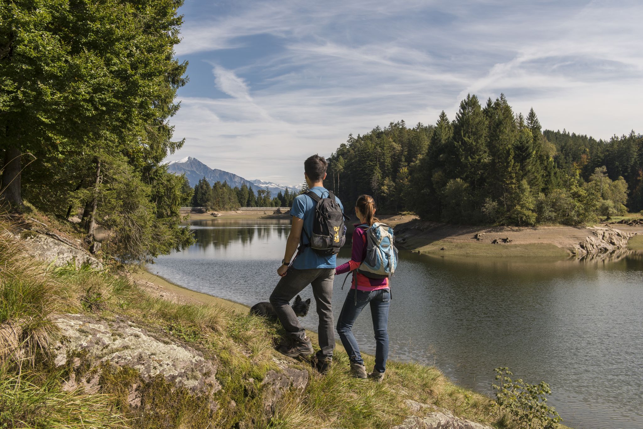
Summer in Eastern Switzerland – 10 hikes in Heidiland

Blue lakes, wide panoramas & autumnal splendour – hiking in Heidiland
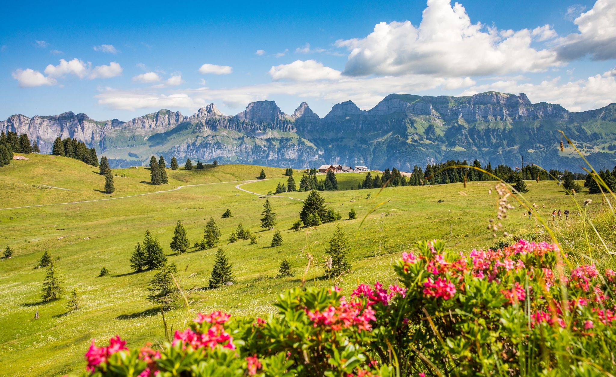
Pure Swiss mountain idyll – hikes in Heidiland
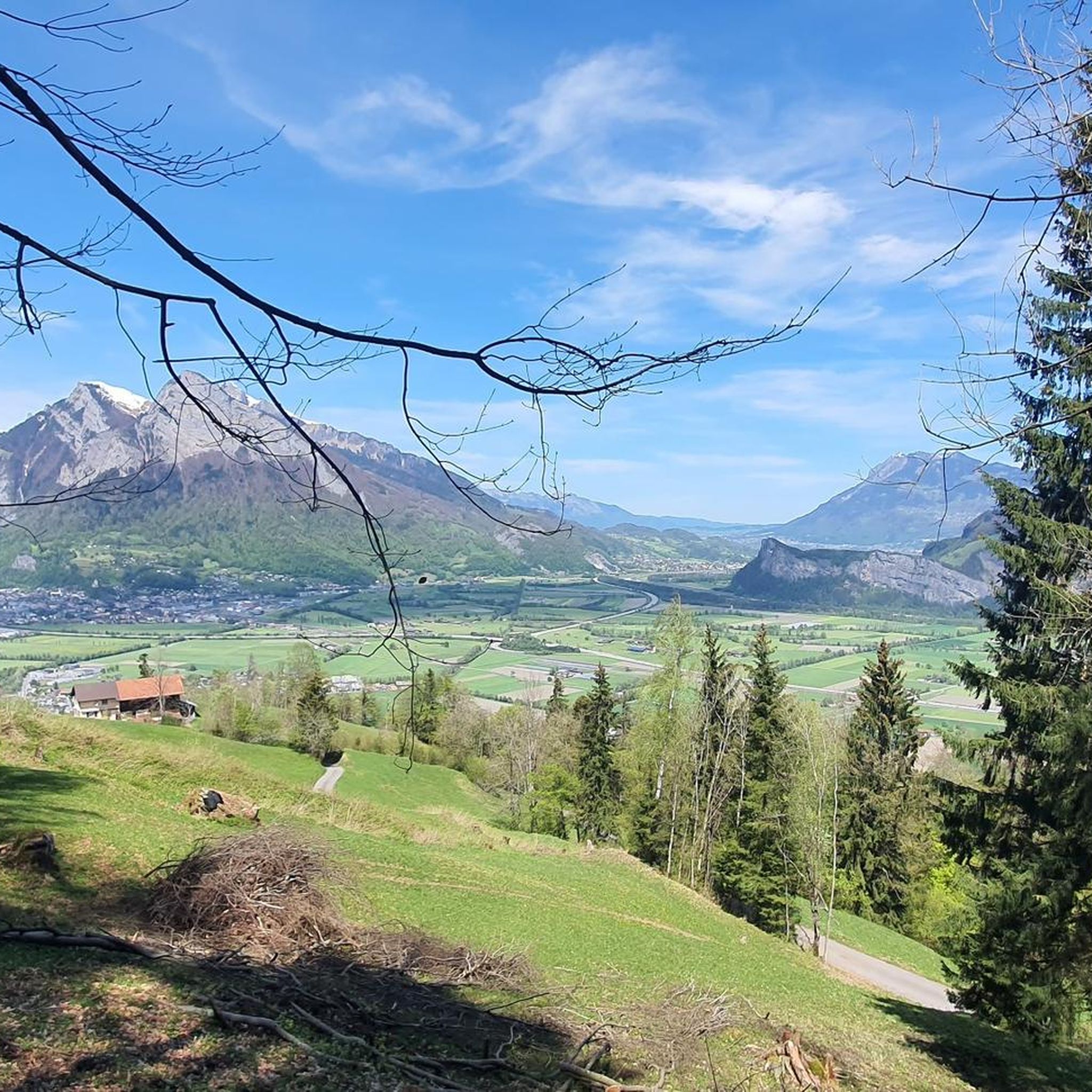
Hiking around Vilters-Wangs
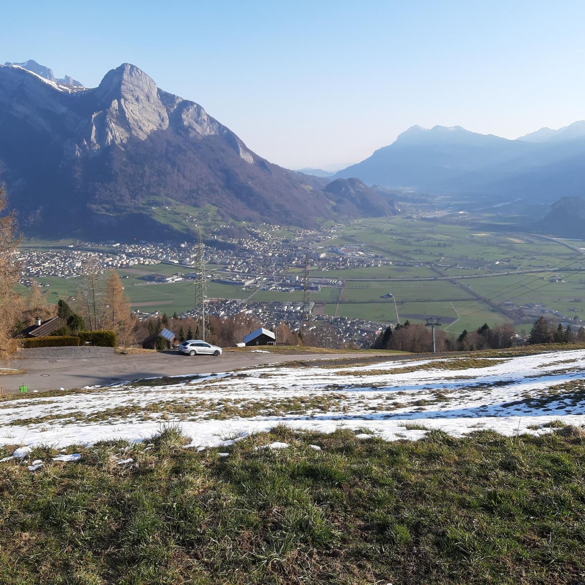
Cycling around Vilters-Wangs
Road Cycling Routes around Vilters-Wangs
MTB Trails around Vilters-Wangs
Running Trails around Vilters-Wangs
Gravel biking around Vilters-Wangs
Mountain Hikes around Vilters-Wangs

Tips from the Community

Jenin Reformed Church from 1745 Jenin's church, a restrained building located between the town hall and the Speaker's House, impresses with its Baroque tower and remarkable gravestones from the 17th to 19th centuries. The nave was built after a village fire in 1745. Description Restless yet prominently positioned building, located between the town hall and the Speaker's House. The slender, onion-shaped Baroque tower dominates the nave, built after a village fire in 1745. Painted corner blocks and color scheme are reminiscent of the rectory, the Salishaus, located further east. Remarkable gravestones from the 17th to 19th centuries adorn the exterior wall and the cemetery. Text / Source: Graubünden Tourism, Alexanderstrasse 24, Chur https://www.graubuenden.ch/de/ausflugsziele/kirche-jenins-0#:~:text=The%20Jenins%20church: a%20conservative%20building%20between%20the%20council,.The%20nave%20was%20built%20after%20a%20village%20fire%20in%201745.
14
0
Jenins – The Pearl of the Bündner Herrschaft Jenins, a charming wine village in the Bündner Herrschaft region, captivates with its breathtaking location and rich wine culture. As one of the highlights of wine tourism, Jenins's high-quality wines and picturesque landscape attract visitors from all over Switzerland and beyond. Text / Source: Pur Animo.ch https://puranimo.ch/jenins-buendner-weindorf-mit-weitblick/#:~:text=Jenins%2C%20ein%20charmantes%20Weindorf%20in%20der%20B%C3%BCndner%20Herrschaft%2C,aus%20der%20gesamten%20Schweiz%20und%20dar%C3%BCber%20hinaus%20an
14
0

The summit lies on the border between Liechtenstein and Switzerland, between the Graubünden municipality of Fläsch and the Liechtenstein municipality of Triesen. It is accessible via a hiking trail and lies at 2,560 m above sea level. The view from Falknis extends northward beyond Lake Constance. Source: Falknis - Wikipedia https://share.google/8XutRhc1mPOcqfBan A breathtaking 360° view awaits you on Falknis.
6
0

A very popular ski tour summit, although most people only go as far as the saddle. The ascent to the summit sometimes requires crampons and an ice axe, especially when the safety ropes are still covered in snow. When there is good snow to walk on, like today, you can do without. However, the path is exposed. Great view from the summit cross.
0
0

when the air is clear, fantastic views of the Alps in all directions
0
0
Pizalun 1478 m above sea level (SG / GR) The Pizalun is a viewing point with a view of the St. Gallen, Chur Rhine Valley, Prättigau, Bündner Herrschaft, Sarganserland and the Principality of Liechtenstein FL. Cantonal border between SG and GR. The viewing platform, which can be reached via a steep steel staircase.
12
0

Warning: the route is extremely questionable!!! The route is highly recommended up to the summit of the Alvier and the descent to the rear. However, from this point onwards the route is no longer marked as a hiking trail and is sometimes difficult to recognize. At the latest from the ridge walk after the Gauschla summit, the recommendation of the route should be questioned. The subsequent descent on the south-east flank is considered impossible and life-threatening. At this point we had to abandon the route and, under time pressure, make our way home via the Alvier.
0
2

Alvier (mountain) - Wikipedia The Alvier (2343 m above sea level) is the eponymous summit of the Alvier group in the canton of St. Gallen in Switzerland, which only begins at the somewhat lower Gauschla (2310... Altitude: 2343 m above sea level M Mountains: Alvier chain
0
0
Frequently Asked Questions
What are some popular mountain peaks to explore around Vilters-Wangs?
The region offers a variety of stunning peaks. Pizalun Summit and Viewpoint is highly regarded for its expansive views into the St. Gallen and Chur Rhine Valley, Prättigau, Bündner Herrschaft, Sarganserland, and Liechtenstein. Another popular choice is Falknis Summit, which provides breathtaking 360-degree views, extending northward to Lake Constance.
Are there family-friendly mountain peaks or hikes in the Vilters-Wangs area?
Yes, some areas are more accessible for families. For instance, the path to Jenins: Village and Church is considered family-friendly and offers beautiful views. While many peaks require good fitness, the Pizol area also offers routes that can be adapted for various skill levels, especially with the use of mountain railways.
What are the difficulty levels of the mountain trails around Vilters-Wangs?
The mountain trails around Vilters-Wangs range from intermediate to challenging. Peaks like Pizol and Hochwart involve alpine routes that require good fitness, sure-footedness, and sturdy shoes. However, easier summit routes are available for peaks like Garmil, and the region generally offers a diverse range of hiking difficulties to suit different experience levels.
When is the best time to visit the mountain peaks in Vilters-Wangs?
The best time to visit is typically during the warmer months, from late spring to early autumn. During this period, the green meadows are vibrant, mountain lakes are crystal-clear, and hiking conditions are generally favorable. Some mountain railways, like the Älplibahn, operate from mid-May to mid-October, making access easier.
How accessible are the mountain peaks by public transport or mountain railways?
Many peaks are made more accessible by mountain railways. For example, the Pizol area has cable cars that can take you up to Pizolhütte, reducing the ascent. The Älplibahn Mountain Station serves as a base for ascents to peaks like Falknis and Alvier, though reservations are often required for the cable car.
What kind of natural features can I expect to see when hiking the peaks?
You can expect to see stunning alpine landscapes, including clear mountain lakes like the famous Wildsee in the Pizol area, remnants of the Pizol glacier, and diverse flora. Many peaks offer expansive panoramic views of the Swiss and Austrian Alps, the Rhine Valley, and even Lake Constance on clear days.
Are there places to eat or stay near the mountain peaks?
Yes, there are options available. For instance, the Älplibahn Mountain Station features a small 'Bergbeizli' (mountain pub) with a terrace and homemade cakes. Additionally, the Alvier hut, located a few meters below the Alvier Peak summit, offers overnight accommodation for 20 people and invites visitors to linger and enjoy the views.
What outdoor activities can I do near these mountain peaks besides hiking?
Beyond hiking, the region offers a variety of outdoor activities. You can find numerous MTB Trails around Vilters-Wangs, with routes like 'View of the Churfirsten' or 'Heidi Alp loop'. There are also dedicated Running Trails, including 'Peter's Long Trail - Running on the Pizol'.
What should I wear or bring for hiking in the Vilters-Wangs mountains during summer?
For summer hiking, it's recommended to wear sturdy hiking shoes and appropriate layers of clothing, as weather conditions can change quickly in the mountains. Good fitness and sure-footedness are essential for many trails. Don't forget water, snacks, sun protection, and a map or GPS device.
What do visitors enjoy most about the mountain peaks around Vilters-Wangs?
Visitors consistently praise the breathtaking panoramic views from the summits, with many describing them as 'absolutely stunning'. The diverse landscapes, from clear mountain lakes to green meadows, and the sense of achievement after a challenging ascent are also highly valued. The convenience of mountain railways and the hospitality of mountain huts add to the overall positive experience.
Are there any specific long-distance hiking routes that incorporate these peaks?
The Pizol area is famous for its challenging 5-Lake Hike, which showcases crystal-clear mountain lakes and stunning alpine scenery. This route requires good fitness and sure-footedness. While not a single long-distance trail, many peaks can be combined for more extensive hiking experiences, such as combining Hochwart with the Pizol summit.
Can I find information about the local geology or natural heritage while hiking?
Yes, for example, the hike to Garmil passes by information panels about the UNESCO World Heritage Sardona, providing insights into the region's unique geological formations and natural heritage. This area is known for its impressive mountain landscapes and diverse ecosystems.
Most popular routes around Vilters-Wangs
Most popular attractions around Vilters-Wangs

Get inspired with the komoot mobile app


Explore more
See even more amazing summits around Vilters-Wangs with these guides:
