Top 6 Mountain Passes around La Orotava
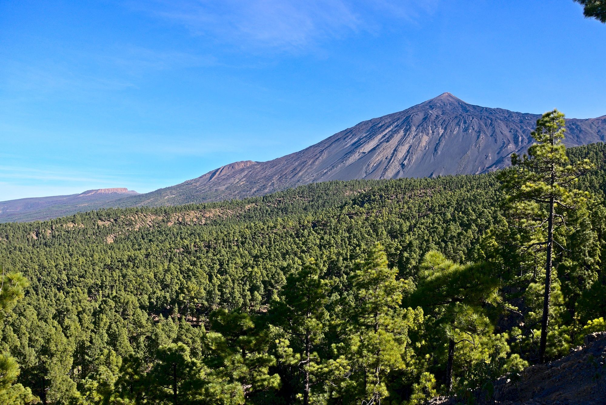
Best mountain passes around La Orotava are found on the northern side of Tenerife, offering routes and viewpoints that traverse significant elevation changes. The municipality encompasses a large portion of Teide National Park, a UNESCO World Heritage Site. These routes showcase the lush Orotava Valley and the volcanic terrain leading to Spain's highest peak. The region provides diverse landscapes, from pine forests to solidified lava fields.
Best mountain passes around La Orotava
- The most popular mountain passes is Scenic Mountain…
Last updated: August 25, 2026
Highest point at the base of Teide
Highlight • Mountain Pass
Translated by Google •
Tip by

Scenic Mountain Road
Highlight (Segment) • Mountain Pass
Tip by

Sign up now to discover places like this
Get recommendations on the best single tracks, peaks, & plenty of other exciting outdoor places.
Sign up for free
Chavao Pass
Highlight • Mountain Pass
Translated by Google •
Tip by

El Cruce de Arafo
Highlight • Mountain Pass
Translated by Google •
Tip by

Scenic Route Through Teno Mountains to Puerto de la Cruz
Highlight (Segment) • Trail
Small Intestine Tour to Puerto de la Cruz
Very scenic serpentine tour along the Teno mountains (pass height 1,120 m), along the coast and …
Translated by Google •
Tip by

Start today with a free account
Your next adventure awaits.
Login or Signup
Popular around La Orotava
From the coast to the Teide - Tenerife Bluetrail by UTMB
The giant of Tenerife — around Teide by road bike

Trail on the Canary Islands – discover the legendary races!
Tenerife by road bike — cycling between forests and volcanoes

Trail running in Tenerife – dreamy routes between sea and mountain
Six fascinating ways to discover the Canary Islands on foot
Volcanoes, lava and forests – running in Tenerife
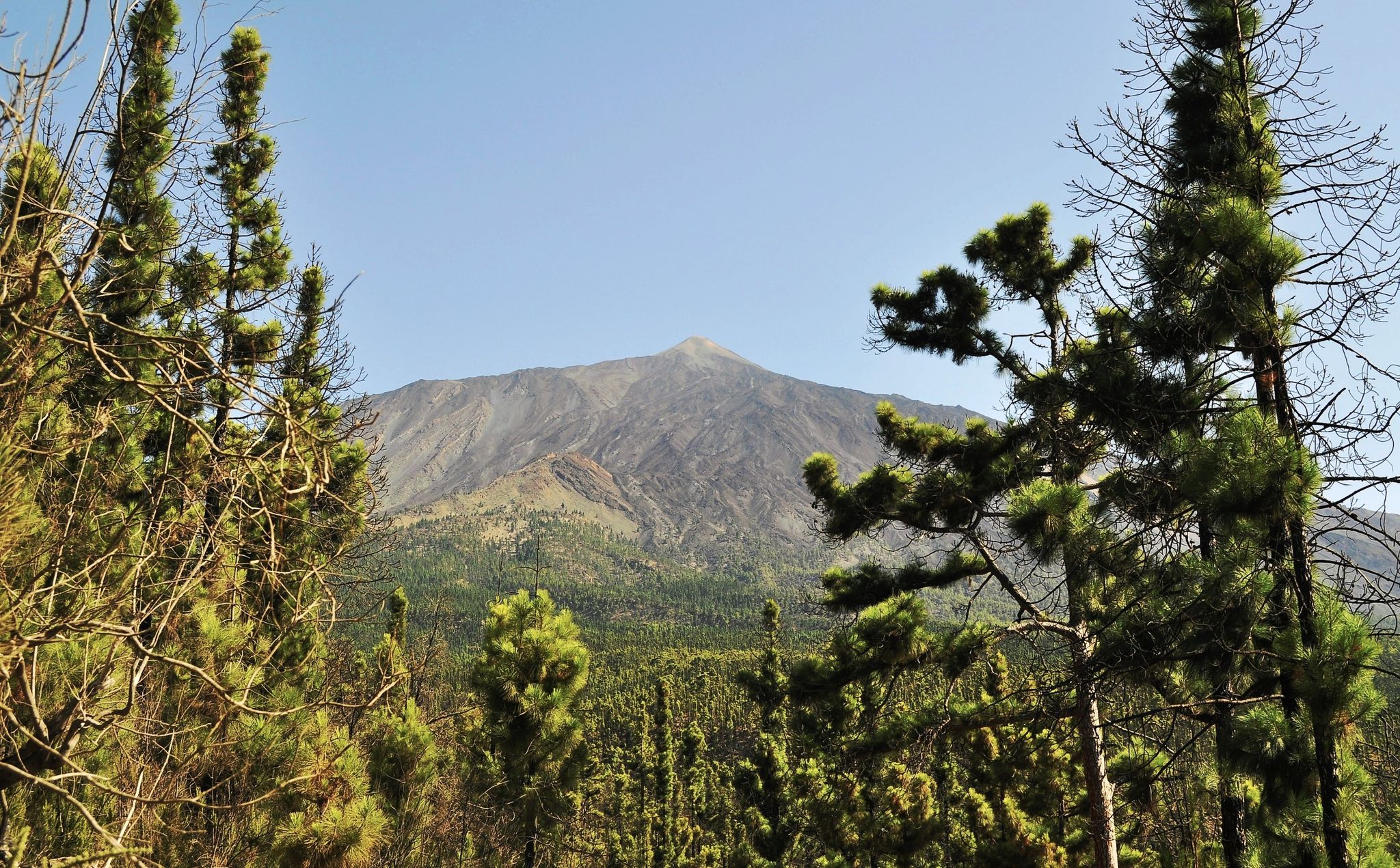
The fantastic forest of Tenerife – northern forest MTB route
An island pilgrimage – Camino de Santiago de Tenerife
Tenerife from north to south – Camino Natural de Anaga-Chasna
Other adventures around La Orotava


Tips from the Community

You can take some nice tours here, but it's also very busy.
0
0

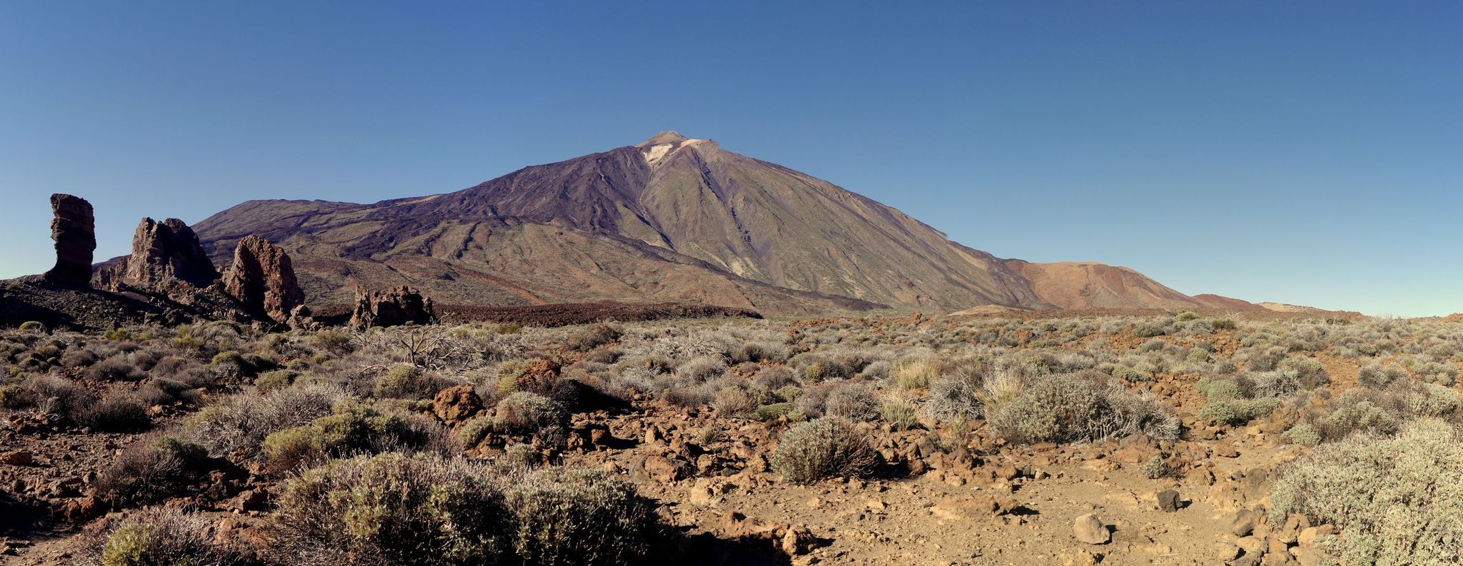
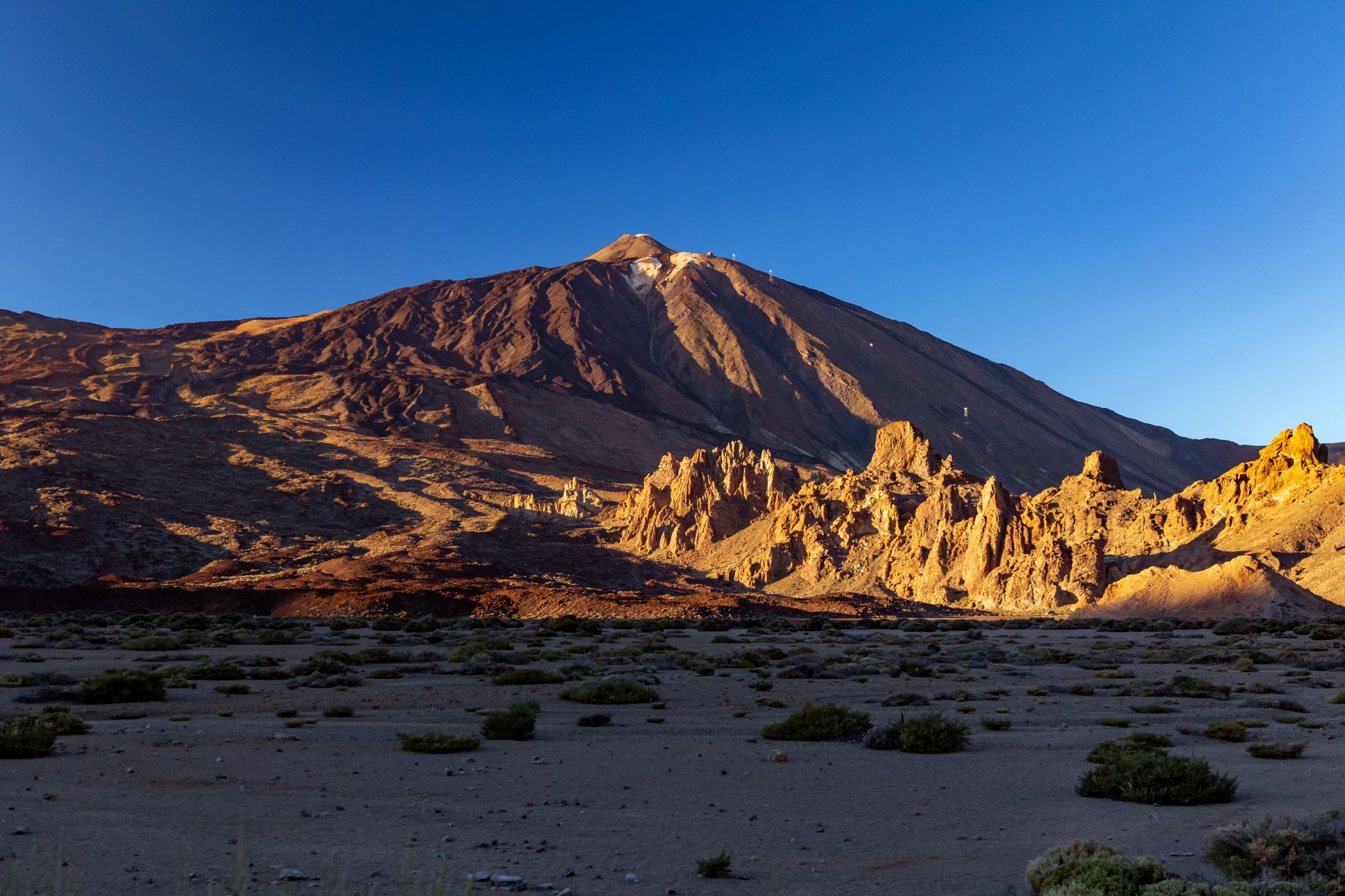
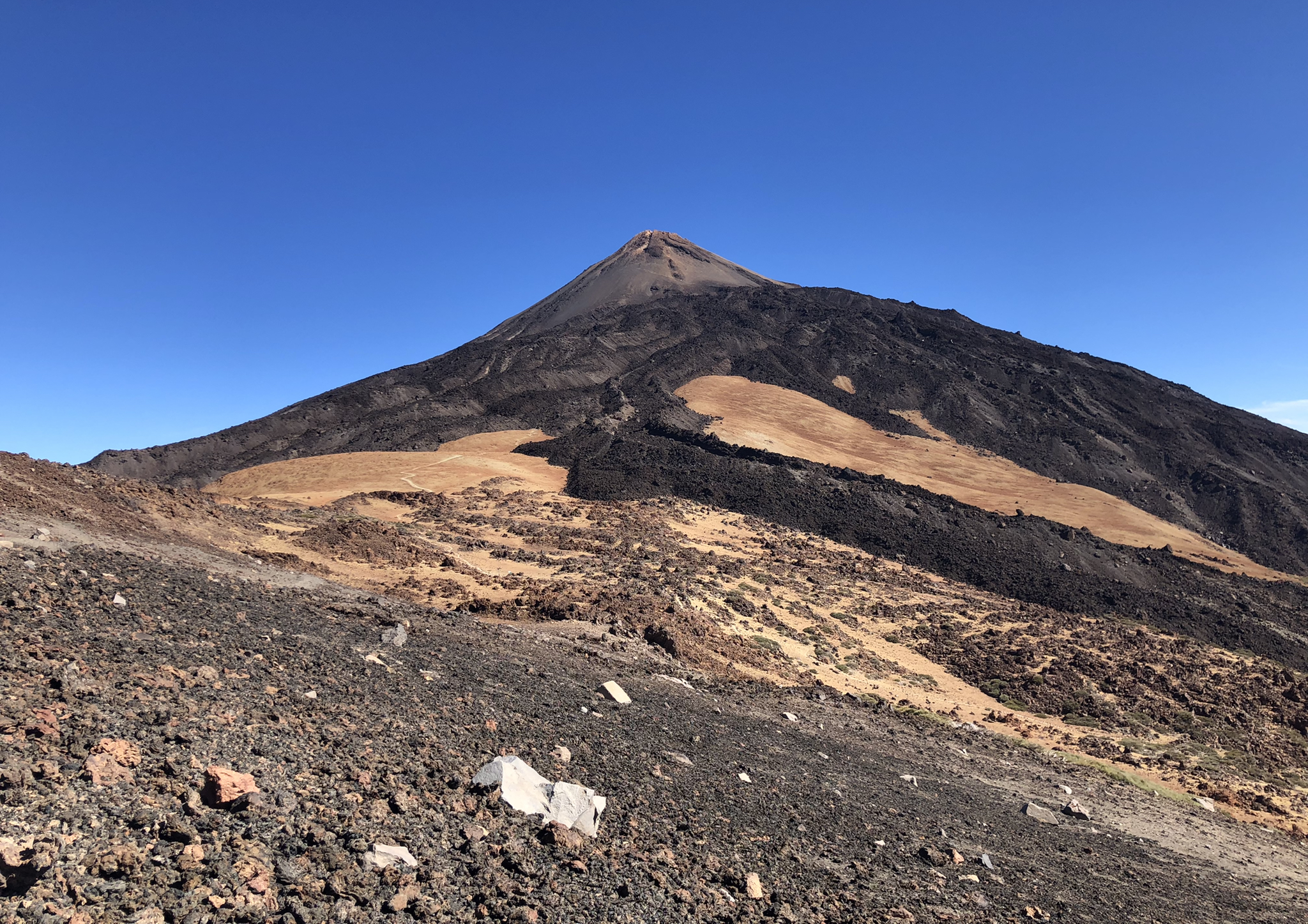
What a giant Teide is becomes clear here at the foot of the mountain. The sign gives it away: you are already at an altitude of 2,250 meters at this point. And yet you have to tilt your head back to look up at the crater of the island volcano and thus at the highest Spanish mountain.
1
0

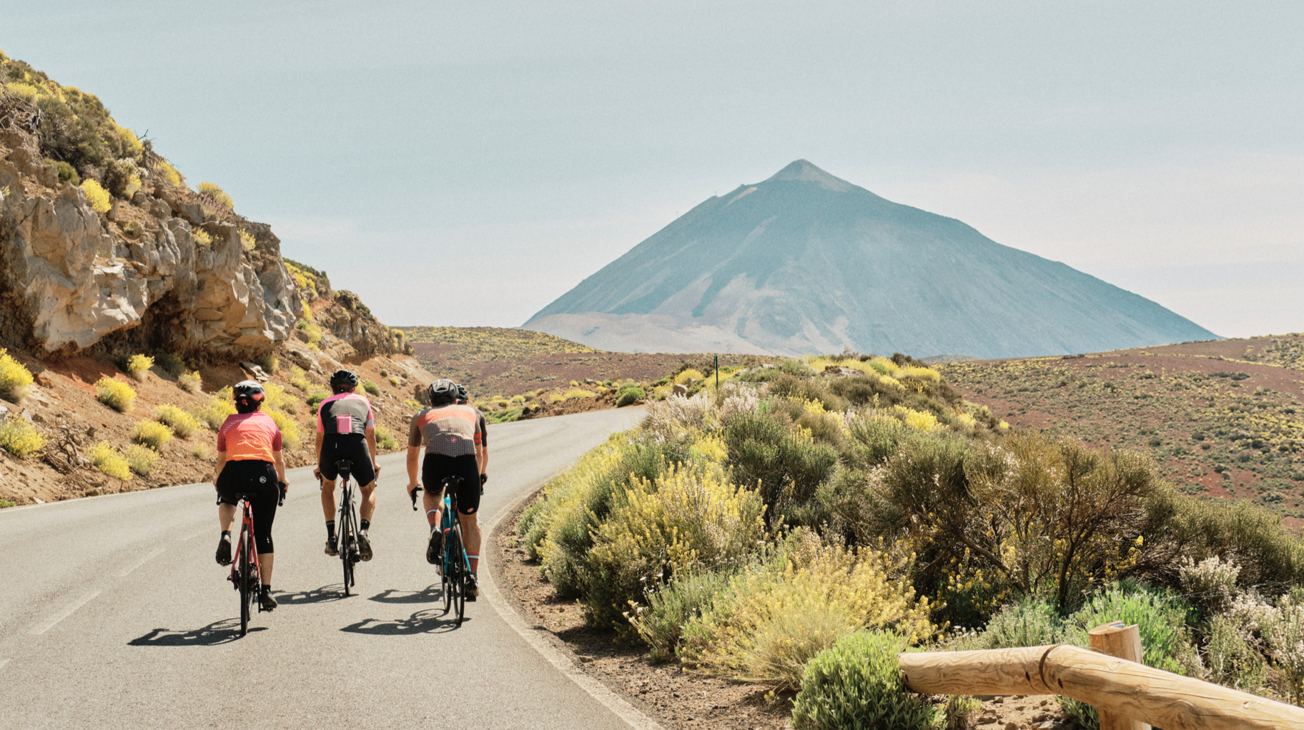
One of the most beautiful slopes on the island. Recommended in every respect.
0
0

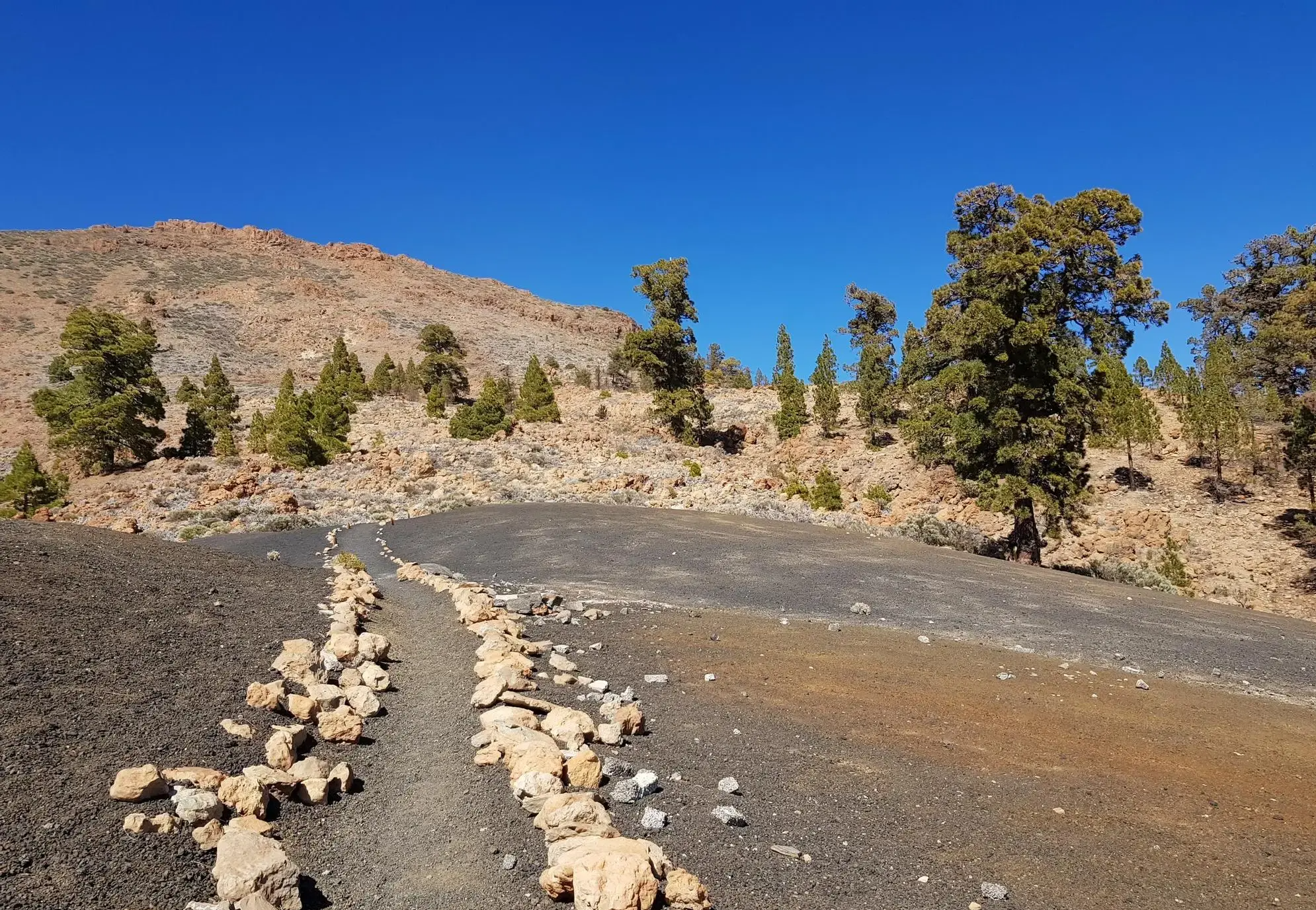
Called Chavao, it is one of the passes that reaches from the towns on the side of the mountain towards Montaña del Cedro.
1
0

This is the highest point at the base of Teide, that is, the highest point in the national park (not counting the upper dome of the volcano). This can only be climbed by cable car or by walking along an extremely steep path, so this is the end of the ascent to Teide by bike.
0
0

And again with outside help..... 🚍 Small Intestine Tour to Puerto de la Cruz Very scenic serpentine tour along the Teno mountains (pass height 1,120 m), along the coast and along the north flank of the Teide with a total of 90 (!) stops from Los Gigantes to Puerto de la Cruz (port of the cross) on the green north side of Tenerife. The way was the goal.
0
0

So I took the chance last year. It shouldn't be too hot, the wind should be light if possible and no thunderstorms should be approaching. Today I gave up at Vilaflor. Uphill 10 percent and headwind of over 40 kmh. That's no longer possible at my age, but under normal circumstances it's doable with enough water and snacks and when it's done you look forward to the descent like a snow hare. With the tailwind that prevailed today, I was almost afraid of the brakes. When a gust hits you from behind on a 12-14 percent gradient, corners or crossings get tight. The brakes actually glow and I'm not a scarecrow. So be careful :-)
5
2

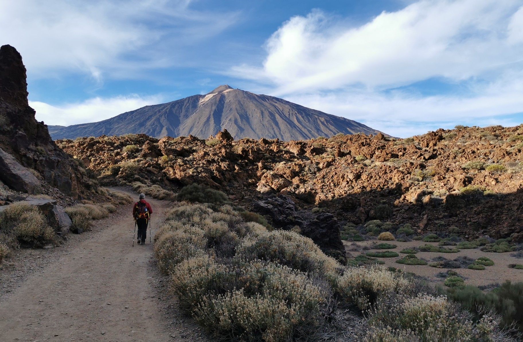
The Teide is the highest mountain in Spain.
2
2
Frequently Asked Questions
What are the most notable mountain routes and viewpoints around La Orotava?
La Orotava is known for its scenic mountainous routes and viewpoints rather than traditional passes. Key areas include the TF-21, which is the primary artery connecting the Orotava Valley to Teide National Park, and the Scenic Mountain Road, appreciated for its fantastic vistas and smooth tarmac. Another significant spot is the Chavao Pass, a viewpoint connecting towns towards Montaña del Cedro.
What kind of landscapes can I expect to see on these mountain routes?
The routes around La Orotava offer a dramatic transition of landscapes. You'll ascend from lush pine forests to surreal, solidified lava fields with striking reddish and ochre tones, especially along the TF-21 towards Teide National Park. The Orotava Valley itself provides views of diverse agricultural crops, coastal cliffs, and verdant mountains.
Are there challenging routes for experienced cyclists or hikers?
Yes, the region offers challenging cycling and hiking routes with significant elevation changes. For cyclists, the ascent to the Highest point at the base of Teide is a demanding climb, reaching 2,250 meters. Hikers can explore routes through dense laurel forests, vineyards, and rugged volcanic terrain. For more challenging MTB routes, consider exploring the MTB Trails around La Orotava guide.
What are the best viewpoints in the La Orotava area?
The Mirador de Humboldt offers one of the most iconic panoramic views of the entire La Orotava Valley, including the agricultural area of El Rincón, the coast, and Mount Teide. Other notable viewpoints include Pino Alto, Mataznos, Vista a La Palma, La Ruleta, and Benijos Square, which are part of a promoted 'Viewpoint Route' showcasing the region's geography.
What is the highest point accessible by road or trail in the area?
You can reach the Highest point at the base of Teide by road, which is at an altitude of 2,250 meters. From here, you get impressive views of Mount Teide, Spain's highest peak. Access closer to the summit of Teide itself requires a permit, often obtained via the Teide Cable Car Base Station.
Can I find family-friendly or easy trails around La Orotava?
While many routes involve significant elevation changes, there are options for less strenuous walks, particularly around the lower parts of the Orotava Valley or specific viewpoints. The municipality also promotes a 'Viewpoint Route' which can be enjoyed by car with short walks to the viewpoints. For specific easy trails, it's best to consult local information centers or detailed hiking guides.
What outdoor activities are popular near these mountain routes?
Besides scenic drives, the area is popular for cycling and hiking. You can find numerous routes winding through forests, vineyards, and volcanic landscapes. For specific hiking options, check out the Hiking around La Orotava guide, or for gravel biking, refer to the Gravel biking around La Orotava guide.
What is the best time of year to visit the mountain routes around La Orotava?
The region can be visited year-round, but the best time often depends on your activity. Spring and autumn offer pleasant temperatures for hiking and cycling. During summer, the higher altitudes provide a cooler escape from the coastal heat. Winter can bring snow to the highest parts of Teide National Park, offering a unique landscape, but routes might be affected.
Are there any permits required for hiking in the Teide National Park area?
While you can drive and hike on many trails within Teide National Park without a permit, ascending to the very summit of Mount Teide (above the cable car upper station) does require a special permit. It's advisable to check with local tourist information for the most current requirements and to book permits in advance if you plan to reach the summit.
What makes the TF-21 route through Teide National Park special?
The TF-21 is considered one of Tenerife's most photogenic drives. It takes you from the lush Orotava Valley into the heart of Teide National Park, a UNESCO World Heritage Site. The route showcases a dramatic shift in scenery, from pine forests to an almost Martian landscape of solidified lava fields and volcanic caldera, with awe-inspiring views of Mount Teide. Key stops include Roques de García and the Teide Cable Car Base Station.
What do visitors particularly enjoy about the mountain routes in La Orotava?
Visitors frequently praise the stunning panoramic views, the dramatic changes in landscape from lush valleys to volcanic terrain, and the excellent conditions for cycling. Many highlight the smooth tarmac and minimal traffic on routes like the Scenic Mountain Road, and the sheer scale and beauty of Teide National Park.
Are there options for public transport to reach these mountain areas?
Yes, public transport, primarily bus routes, can take you to certain mountain areas and viewpoints around La Orotava, including into Teide National Park. However, access to all specific trailheads or remote passes might be limited, so planning ahead with local bus schedules is recommended.
Most popular routes around La Orotava
Most popular attractions around La Orotava

Get inspired with the komoot mobile app


Explore more
See even more epic mountain passes by checking out these guides around La Orotava:
