Top 5 Mountain Passes around Fuentes De Rubielos
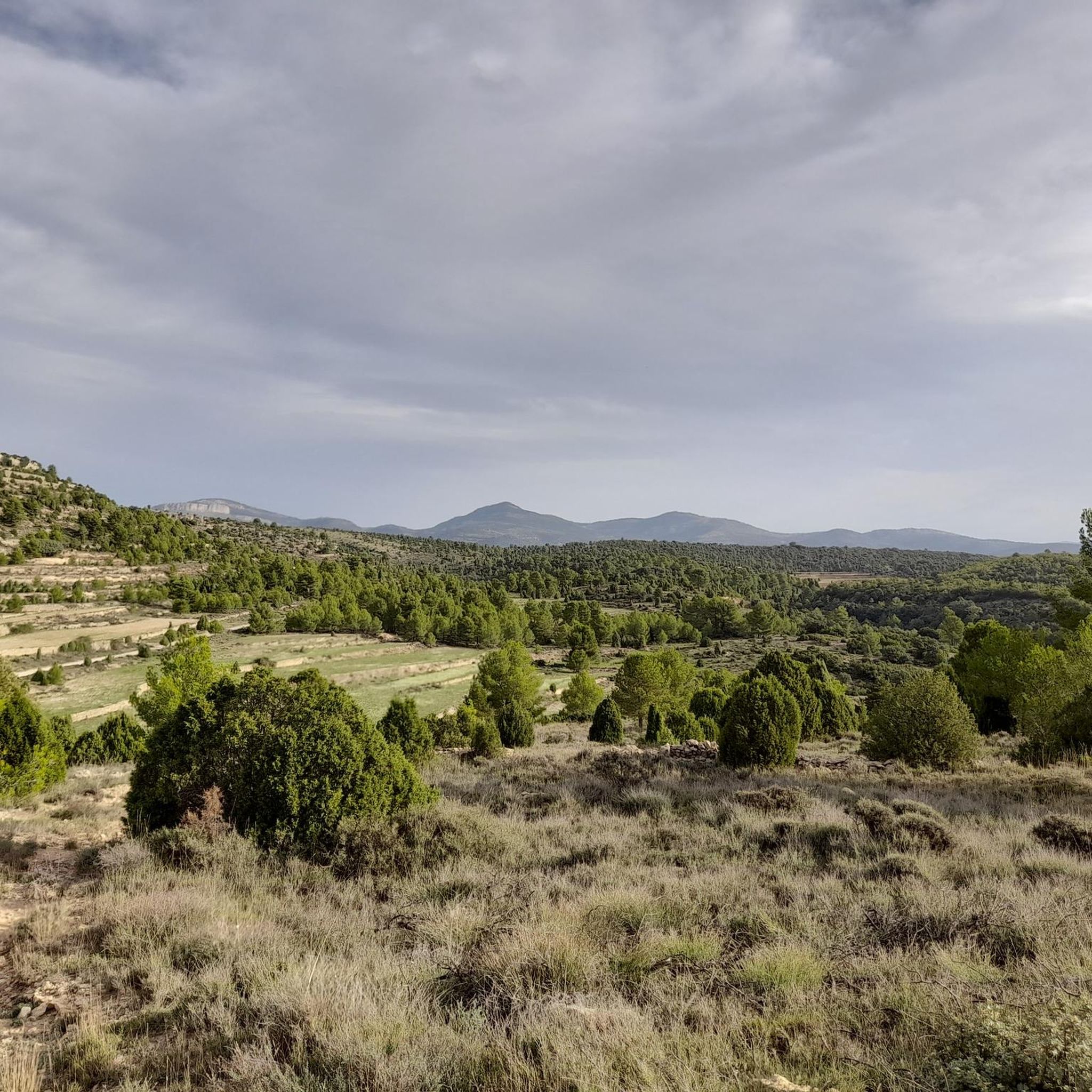
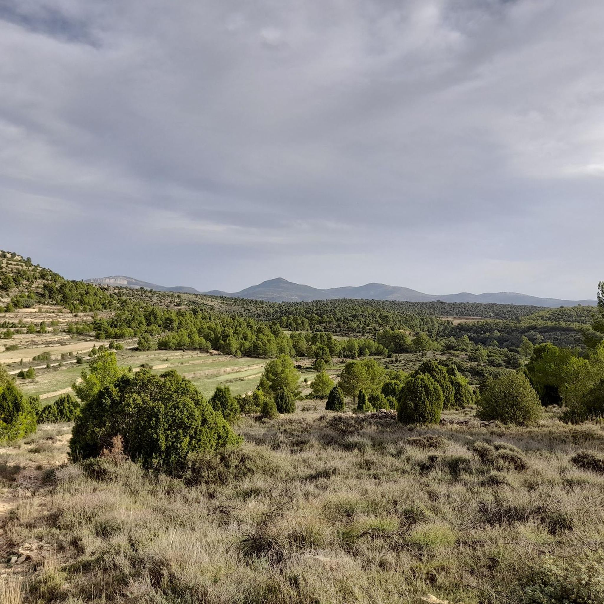
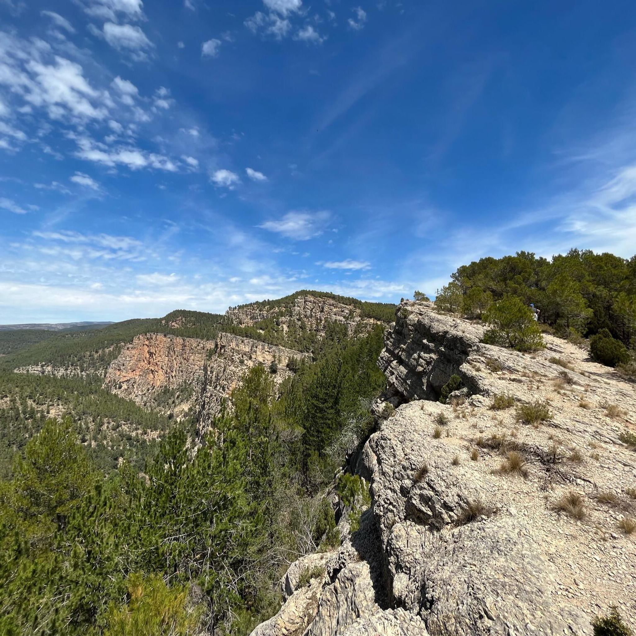
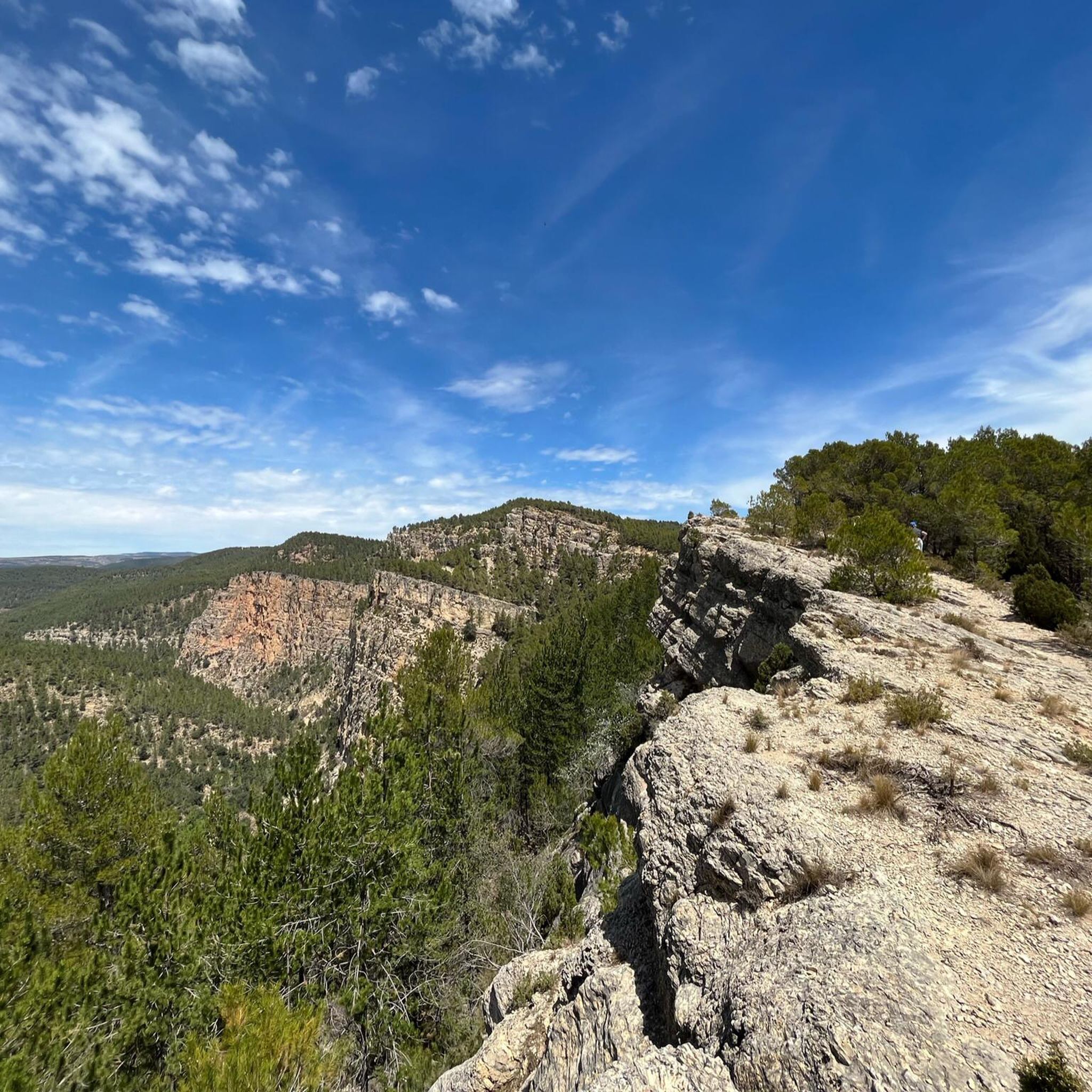
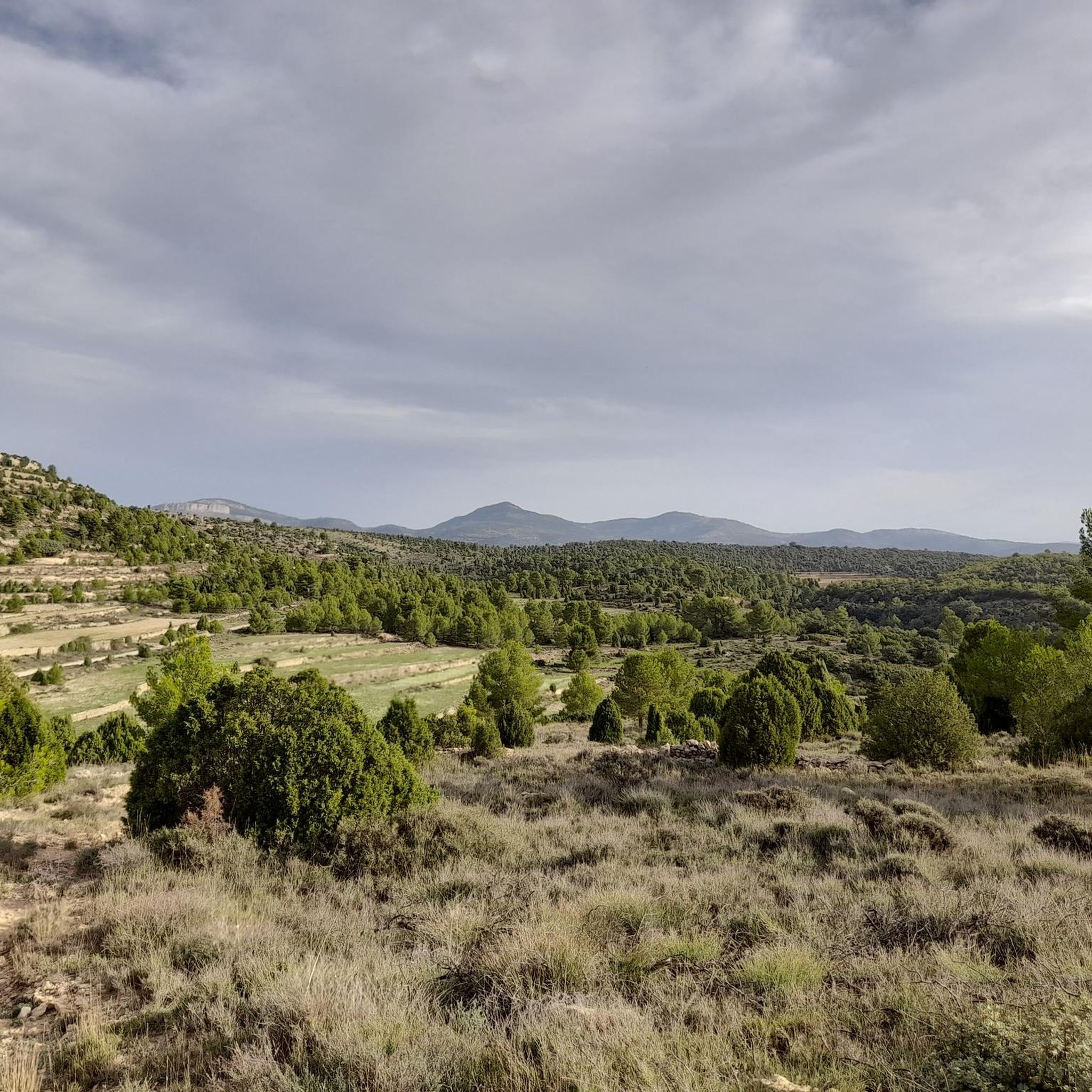
Best mountain passes around Fuentes de Rubielos are found within a mountainous terrain, part of the Iberian System in the Gúdar-Javalambre comarca. The municipality, situated at an elevation of 962 meters, offers a landscape suitable for outdoor activities. The region is characterized by varied topography and extensive pine forests, providing a setting for exploration. The Collado de Los Santos is a notable feature, serving as a junction point for hiking routes and offering access to panoramic views.
Best mountain passes…
Last updated: July 1, 2026
Loma El Zorro Pass (West Side)
Highlight • Mountain Pass
Translated by Google •
Tip by

Los Molares Pass
Highlight • Mountain Pass
Translated by Google •
Tip by
Sign up now to discover places like this
Get recommendations on the best single tracks, peaks, & plenty of other exciting outdoor places.
Sign up for free
Puerto de Los Molares (Second Ascent)
Highlight • Mountain Pass
Translated by Google •
Tip by
Fanzara to Montanejos Scenic Route
Highlight (Segment) • Trail
Translated by Google •
Tip by

San Vicente de Piedrahíta Viewpoint
Highlight • Viewpoint
Just 3 km from Montanejos begins the ascent to the port (also a viewpoint) with ramps between 8 and 11%. It is …
Translated by Google •
Tip by
Start today with a free account
Your next adventure awaits.
Login or Signup
Tips from the Community

Demanding stretch if done uphill from Fanzara to Montanejos. You pass through the port of Vallat, one of the most colorful and picturesque of Alto Mijares. In addition to being colorful, this section is very quiet, practically without traffic and with pavement in excellent condition.
3
0
2nd category port in the Alto Millares region. Just 3 km from Montanejos begins the ascent to the port (also a viewpoint) with ramps between 8 and 11%. It is a short section that can be climbed at a good pace to enjoy the path and the views.
2
0

Yet another port in the confines of the province of Castellón. Although the ascent to Loma el Zorro begins at the Rodeche River on the border between Teruel and Castellón, we have not yet been able to take "in situ" data of the long version (approx. 8.5 km). So today we present the short west slope that begins in the town of Cortes de Arenoso, on the Balseta bridge. As soon as you leave the town, the road gets steep and does not stop until it reaches the brown plaque located at 1,103 meters above sea level. Very constant port of ramps that reach a maximum of 7%. Wide, well-paved road with open, bare landscapes. On the way to the top we find two accesses to the hermitage of San Cristóbal, yes, they are not paved and are more recommended for visits by mountain bike. Let's go with the data of the rise. https://www.dandolotodo09.com/2020/04/puertos-loma-el-zorro-por-cortes-de.html
0
0
Second ascent in the area of Caserío de Los Molares, on the inhospitable and deserted road that joins the towns of Montanejos and Cortes de Arenoso. It could have been included as an extension of the Puerto de los Molares, but there is a considerable drop between these two climbs that makes it inadvisable. After overcoming the dilapidated Caserío de Los Molares, this ascent of less than 2 kilometers begins whose summit slightly exceeds the Puerto de los Molares in altitude. Narrow and quite broken road that winds through a very dense forest area. Abundant shade, non-existent road traffic even in August. There is a maximum ramp at 13% but very short. After crowning there is a viewpoint to the left towards the Puebla de Arenoso reservoir, the Castle and Mount Santa Bárbara. It is not recommended to travel this path in reverse with the road bike, there are many holes.
0
0
Los Molares pass, one of the hardest in the Montanejos area, as it shows an APM hardness coefficient of 85 points. Normally we cycle through the stages and after a short time, with the data collected, we carry out the altimetry and the record. In this case, 4 years have passed between data collection and office work, that is what confinement has, in the absence of pedaling, we can use the abundant data that we have collected in the last 12 years. Let's go with the details of the Puerto de los Molares, a single slope ascent that takes you towards the limit of the province of Castellón, towards the area of the town of Cortes de Arenoso along a quite hidden road. We leave Montanejos towards Cortes de Arenoso along the CV-20 road, and immediately turn right towards the CV-195, crossing the Mijares bridge. The ascent begins smoothly and with good asphalt on the road that leads to Zucaina, but that joy only lasts 1 kilometer. We turn left and we get into a totally different ascent. Narrow and somewhat bumpy road, in a very leafy forest that shelters but prevents seeing landscapes. The next 4 kilometers are not excessively hard, finding some isolated ramp at 9%. A pity about the leafiness of the forest because it is intuited that with a more open landscape there would be beautiful views of the nearby Arenoso reservoir. At kilometer 5 we find an important turning point, marked by the crossing to the Shooting Range and the Canadian pass. After that point comes a descent of half a kilometer that does not bode well. That's right, the hardness of the pass is concentrated after the descent, in the last 2 kilometers. It is the area of the last 4 horseshoes, very constant, all the time above 7-8% and with punctual ramps at 10-11-12%. The final bulletin. The last 500 meters soften. After crowning and finishing the port, there is a short descent and the ruined village of Los Molares that gives its name to this leafy and generally quite hard ascent. https://www.dandolotodo09.com/2020/04/puertos-los-molares-por-montanejos-apm.html
0
0
You can walk down from the road
0
1

To eat cirat vista and good treatment gastrobar APANEM
1
1

A beautiful bike route, especially the section over Vallat. First class asphalt, great views and little traffic
1
1
Frequently Asked Questions
What are some notable mountain passes in the Fuentes de Rubielos area?
The region around Fuentes de Rubielos features several interesting mountain passes. The Fanzara to Montanejos Scenic Route includes the Port of Vallat, known for its excellent pavement and quiet stretches. Another significant pass is Loma El Zorro Pass (West Side), which offers consistent ramps up to 7% and open landscapes. Additionally, the San Vicente de Piedrahíta Viewpoint also functions as a 2nd category pass with ramps between 8% and 11% over a short section, providing scenic views.
What makes the Collado de Los Santos significant in this region?
The Collado de Los Santos is a notable feature in the mountainous landscape around Fuentes de Rubielos, serving as an integral part of several hiking trails, including the PRTE-21 and PRTE-30 routes. It acts as a junction point on a circular trail that explores the religious heritage of Fuentes de Rubielos, connecting its two hermitages and passing through old Civil War trenches. From here, hikers can access panoramic views and diverse natural environments, including pine forests and old farmlands.
What kind of scenery can I expect when exploring mountain passes near Fuentes de Rubielos?
The mountain passes around Fuentes de Rubielos are characterized by a rugged and varied topography. You can expect to see extensive pine forests, open, bare landscapes, and stunning panoramic views of the Gúdar-Javalambre comarca. Some routes, like the Los Molares Pass, feature very leafy forests, while others, such as Loma El Zorro Pass (West Side), offer wide, open vistas.
Are there any mountain passes with historical significance near Fuentes de Rubielos?
Yes, the area offers a blend of natural beauty and historical context. The Collado de Los Santos, for instance, is part of a circular trail that explores the religious heritage of Fuentes de Rubielos and passes through old Civil War trenches. Additionally, the route to Los Molares Pass leads past the ruined village of Los Molares, offering a glimpse into the region's past.
What outdoor activities can I do near the mountain passes of Fuentes de Rubielos?
The mountainous terrain around Fuentes de Rubielos is ideal for various outdoor activities. You can enjoy extensive hiking, road cycling, and running. There are numerous routes exploring the wooded areas and rocky sections, offering scenic views. For more details on specific routes, you can explore the Hiking around Fuentes De Rubielos, Road Cycling Routes around Fuentes De Rubielos, and Running Trails around Fuentes De Rubielos guides.
Are there specific hiking trails associated with mountain passes in Fuentes de Rubielos?
Yes, the Collado de Los Santos is an integral part of several hiking trails, specifically the PRTE-21 and PRTE-30 routes, which are part of a circular trail exploring local heritage. The broader area also offers trails like the 'Aceicuca Trail' and 'Circular route to Morrón de Olba'. You can find more hiking options in the Hiking around Fuentes De Rubielos guide.
Are there challenging cycling routes that include mountain passes in the area?
Absolutely. The region is known for its challenging cycling routes. For example, the Los Molares Pass is considered one of the hardest in the Montanejos area, with an APM hardness coefficient of 85 points and ramps reaching 10-12%. The Puerto de Los Molares (Second Ascent) also features a maximum ramp of 13%. For more challenging road cycling options, refer to the Road Cycling Routes around Fuentes De Rubielos guide.
What is the best time of year to visit the mountain passes around Fuentes de Rubielos?
The region's mountainous character makes it suitable for outdoor activities across various seasons. Spring and autumn generally offer pleasant temperatures for hiking and cycling, with vibrant natural colors. Summer can be warm but is popular for exploring higher elevations. Winter activities are also possible, though some routes might be affected by snow or colder conditions.
Are there family-friendly options for exploring the mountain passes?
While some passes offer challenging ascents, the broader area around Fuentes de Rubielos provides a range of trails suitable for different fitness levels. Many hiking routes explore wooded areas and offer scenic views without extreme difficulty. It's advisable to check specific trail details for length and elevation gain to ensure they are appropriate for your family's abilities. The 'Aceicuca Trail' listed in the Hiking around Fuentes De Rubielos guide is rated as easy.
Can I bring my dog on trails around the mountain passes?
Many outdoor areas in Spain are dog-friendly, but specific rules can vary by municipality or protected area. It's generally recommended to keep dogs on a leash, especially in areas with wildlife or livestock, and to clean up after them. Always check local regulations or signage at trailheads for the most current information regarding dog access.
Where can I find parking when visiting mountain passes or trailheads?
Parking availability can vary. For popular trailheads or specific passes, there might be designated parking areas. In smaller villages like Fuentes de Rubielos, street parking might be available. It's often best to plan your route in advance and look for information on parking near your chosen starting point. For routes starting directly from towns, parking within the village is usually an option.
Are there places to eat or stay near the mountain passes of Fuentes de Rubielos?
Fuentes de Rubielos, along with nearby villages like Rubielos de Mora, offers various amenities for visitors. You can find cafes, pubs, restaurants, and accommodation options in these towns. These establishments provide convenient places to refuel and rest after exploring the mountain passes and trails in the surrounding Gúdar-Javalambre comarca.
What is the Fanzara to Montanejos Scenic Route known for?
The Fanzara to Montanejos Scenic Route is particularly appreciated for its inclusion of the Port of Vallat, which is described as one of the most colorful and picturesque sections in Alto Mijares. It's known for its excellent pavement, quiet stretches with practically no traffic, and great views, making it a favorite among cyclists.
Most popular routes around Fuentes De Rubielos
Most popular attractions around Fuentes De Rubielos

Get inspired with the komoot mobile app


Explore more
See even more epic mountain passes by checking out these guides around Fuentes De Rubielos:
