Top 5 Mountain Passes around El Pueyo De Araguás
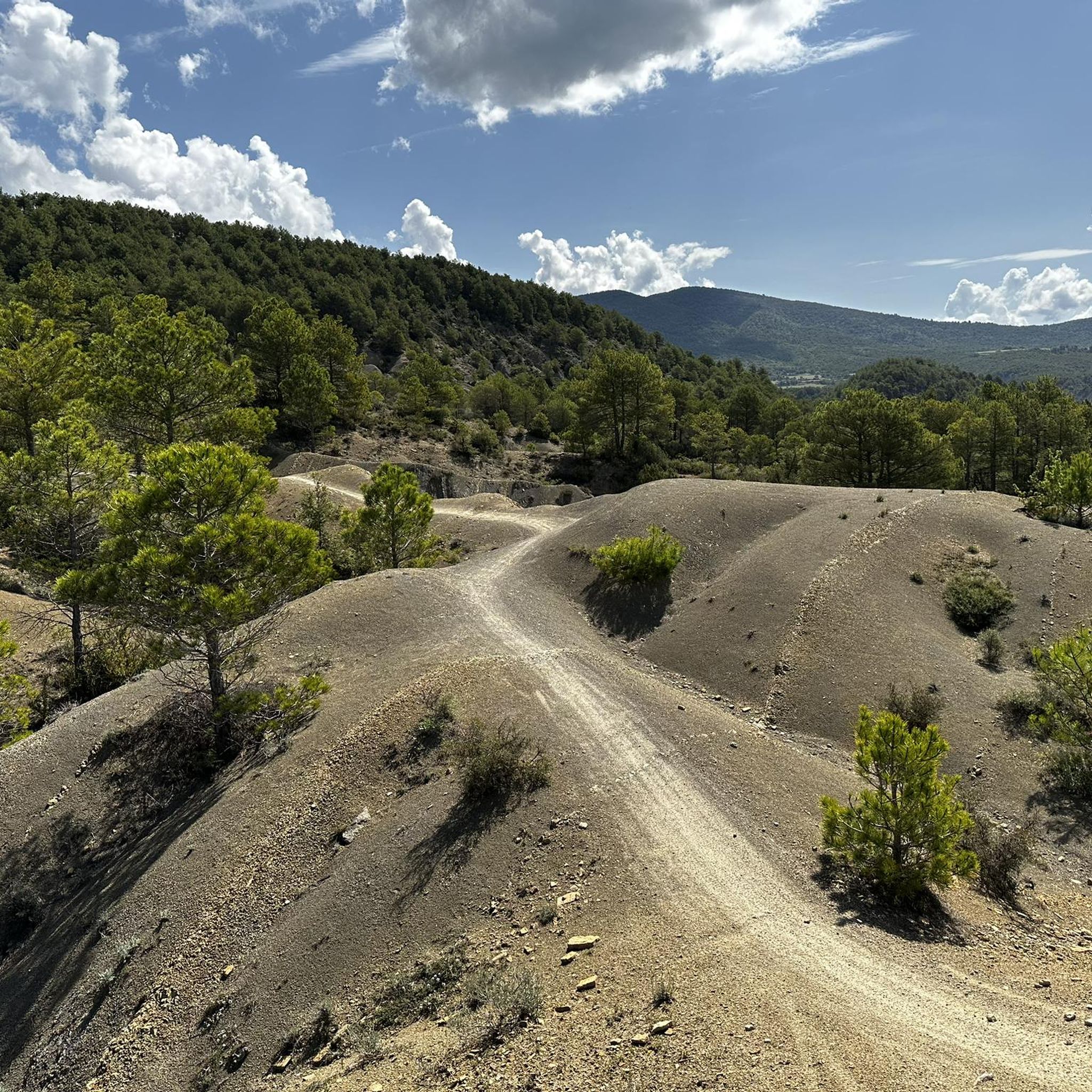
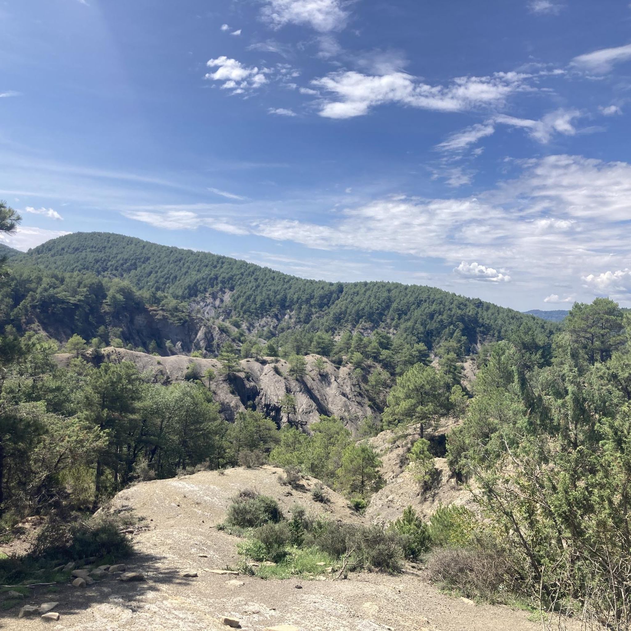
Best mountain passes around El Pueyo De Araguás are located in the Huesca province of Aragon, Spain, within the mountainous Sobrarbe region. This area serves as a gateway to elevated routes suitable for cycling and hiking. The terrain features significant climbs and descents, offering views of the Pyrenean landscape. Routes often connect to historical sites, providing a cultural dimension to outdoor activities.
Best mountain passes around El Pueyo De Araguás
- The most popular mountain pass is Puerto de Arro –…
Last updated: July 1, 2026
Puerto de Arro – Monastery of San Victorián
Highlight (Segment) • Mountain Pass
Legend has it that Saint Victorián arrived in the Pyrenees …
Translated by Google •
Tip by

Cullivert Pass
Highlight • Mountain Pass
Translated by Google •
Tip by

Sign up now to discover places like this
Get recommendations on the best single tracks, peaks, & plenty of other exciting outdoor places.
Sign up for free
Cotiella
Highlight • Summit
Translated by Google •
Tip by

Ascent to Collada de la Cruz
Highlight (Segment) • Mountain Pass
Translated by Google •
Tip by
La Collada
Highlight • Mountain Pass
Showing Translation
Tip by

Sign up for free to discover even more mountain passes around El Pueyo De Araguás.
Sign up for free
Already have an account?
Start today with a free account
Your next adventure awaits.
Login or Signup
Popular around El Pueyo De Araguás
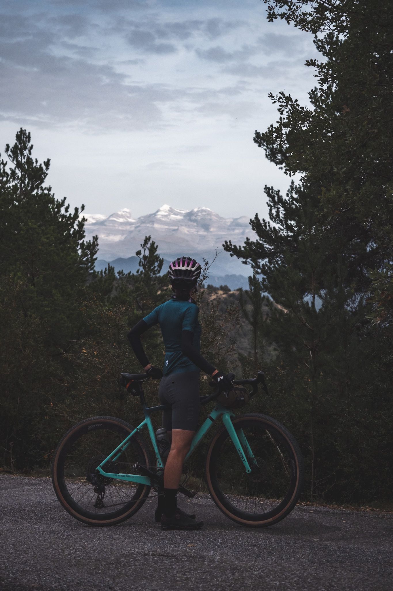
Where silence reigns - Grand Gravel Sobrarbe
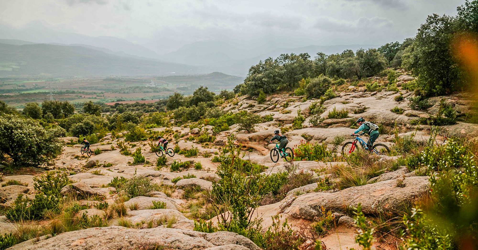
MTB trip through the Spanish Pyrenees
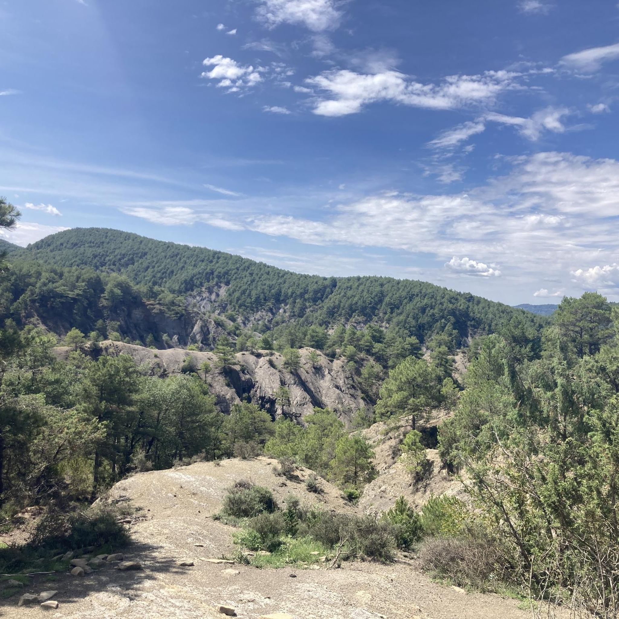
MTB Trails around El Pueyo De Araguás
Road Cycling Routes around El Pueyo De Araguás
Cycling around El Pueyo De Araguás
Hiking around El Pueyo De Araguás
Running Trails around El Pueyo De Araguás

Gravel biking around El Pueyo De Araguás
Other adventures around El Pueyo De Araguás


Tips from the Community

La Collada, at an altitude of 1548m, is the pass between the Cinca valley and the Ésera valley on the North face of Peña Montañesa. Impressive views to the West of the entire Cinca valley: Ainsa, Labuerda, Escalona... While to the East, we find the Cotiella massif.
0
0
An idyllic meadow in the middle of the forest, located on the North face of Peña Montañesa
0
0
A very enjoyable climb. No steep inclines, a narrow but well-maintained road. The finish at the foot of Peña Montañesa has its charm.
0
0

Climb from Plan to the Collada de la Cruz. Plan is located in the vicinity of the Posets-Maladeta natural park and is the main nucleus of the Val de Chistau. Bordered by the Cinqueta River (a tributary of the Cinca) and escorted to the south by the Peñas de las Diez, Once and Mediodía. The track begins at the bridge over the Cinqueta River, next to the town swimming pools. The surface is perfect for both MTB and gravel.
0
0
Collado de Cullivert is the link between the Cotiella massif (2912 m), Sierra Ferrera and the Peña Montañesa (2291 m). Natural passage between the regions of Ribagorza and Sobrarbe, separation line of the slopes of the Ésera and Cinca rivers. Access to the Cullivert pass (1,471 m) is via a demanding but beautiful track of almost 6 km that goes up the Ravine of Viu.
0
0

The port of Arro leads to the Monastery of San Victorián, from the 6th century, considered the oldest in Spain. Legend has it that Saint Victorián arrived in the Pyrenees fleeing from earthly temptations. After a life as a hermit in the Cueva de la Espelunga and realizing great prodigies, he was appointed abbot of the monastery, which was originally called San Martín de Asán. Some time later, in the 11th century, the monastery took its name and was renamed San Victorian or San Beturián.
0
0

Length 11 km, difference in altitude 560 m, average gradient 4.6%, maximum gradient 13.5%. Very nice road and scenic a dream.
0
0
Don't know the real name of the track (ZonaZero). Is super developed and signposted. At regular intervals you get the missing altitude announced. The route first "rolls" through a valley and then climbs steadily to the crossroads. From there it becomes permanently steeper up to a maximum of 13%. Highly recommended!! The whole landscape is in a dream and on the route (Tuesday) hardly any traffic. Tip: there is a fountain at the crossroads. 😜
0
0
Frequently Asked Questions
What are some notable mountain passes to explore around El Pueyo De Araguás?
The region offers several significant mountain passes. Puerto de Arro – Monastery of San Victorián is known for its scenic views and leads to one of Spain's oldest monasteries. For a more challenging experience, Cotiella is a summit reaching 2912 m, primarily traversing rocky terrain. Another option is the Ascent to Collada de la Cruz, an intermediate climb suitable for mountain biking and gravel cycling.
Are there historical sites or cultural attractions near the mountain passes?
Yes, the routes around El Pueyo de Araguás often lead to or pass by historical landmarks. Notably, the Puerto de Arro leads directly to the 6th-century Monastery of San Victorián, considered one of Spain's oldest monasteries. This adds a rich cultural dimension to the outdoor experience.
What kind of views can I expect from the mountain passes in this region?
The mountain passes and elevated routes around El Pueyo de Araguás offer expansive views of the surrounding Pyrenean landscape. From passes like Cullivert Pass, you can see the Cotiella massif, Sierra Ferrera, and Peña Montañesa, providing stunning natural vistas.
What outdoor activities can I do near these mountain passes?
The region is excellent for various outdoor activities. You can find numerous routes for mountain biking and cycling, such as the challenging Sobrarbe Geopark BTT Route 5: Aínsa to El Pueyo Loop. There are also many running trails and road cycling routes, offering diverse options for exploring the mountainous terrain.
How challenging are the mountain passes around El Pueyo De Araguás?
The mountain passes in this area range from intermediate to demanding. For example, the Puerto de Arro has an average gradient of 4.6% with sections up to 13.5%. The ascent to Collada de la Cruz is considered intermediate, while the route to Cotiella is described as challenging, primarily traversing rocky terrain.
What is the best time of year to visit the mountain passes?
While specific data isn't provided, mountain regions like El Pueyo de Araguás are generally best visited during spring, summer, and early autumn. These seasons offer more favorable weather conditions for cycling and hiking, with less risk of snow or ice on higher passes.
Are there any tips for cycling or mountain biking these passes?
Many routes are well-developed and signposted. For the Puerto de Arro, visitors recommend it for its scenic beauty and note a fountain at the crossroads. The track to Collada de la Cruz is described as perfect for both MTB and gravel cycling.
What do visitors enjoy most about the mountain passes in El Pueyo De Araguás?
Visitors frequently praise the stunning natural beauty and the physical challenge of the ascents. The scenic views of the Pyrenean landscape are a major draw, as is the opportunity to combine outdoor activity with visits to historical sites like the Monastery of San Victorián.
Are there any lesser-known or 'hidden gem' passes worth exploring?
While not explicitly a 'hidden gem,' Collado Cruz Serós is a beautiful pass that serves as a step for the circular route to Puerto Sahún from Chía. It's known for its picturesque setting where you might encounter horses, donkeys, or cows.
Can I find information on the length and elevation gain for these passes?
Yes, for passes like Puerto de Arro, detailed information is available. It is approximately 11 km long with a difference in altitude of 560 m, and an average gradient of 4.6%.
What kind of terrain can I expect on the mountain passes?
The terrain varies. Some passes, like Puerto de Arro, feature well-developed roads. However, more challenging routes, such as the one leading to Cotiella, primarily traverse rocky landscapes with no meadows or alpine pastures.
Most popular routes around El Pueyo De Araguás
Most popular attractions around El Pueyo De Araguás

Get inspired with the komoot mobile app


Explore more
See even more epic mountain passes by checking out these guides around El Pueyo De Araguás:
