Top 9 Mountain Passes around Santiago Del Teide
Best mountain passes around Santiago Del Teide are found in a mountainous region of Tenerife, characterized by elevated terrain and diverse landscapes. This area features numerous ascents and elevated points, providing routes for both cycling and hiking. The region includes volcanic landscapes, mountain forests, and coastal views, making it suitable for various outdoor activities. Santiago Del Teide offers a range of challenging and moderate mountain passes trails.
Best mountain passes around Santiago Del Teide
- The most popular mountain passes is…
Last updated: July 1, 2026
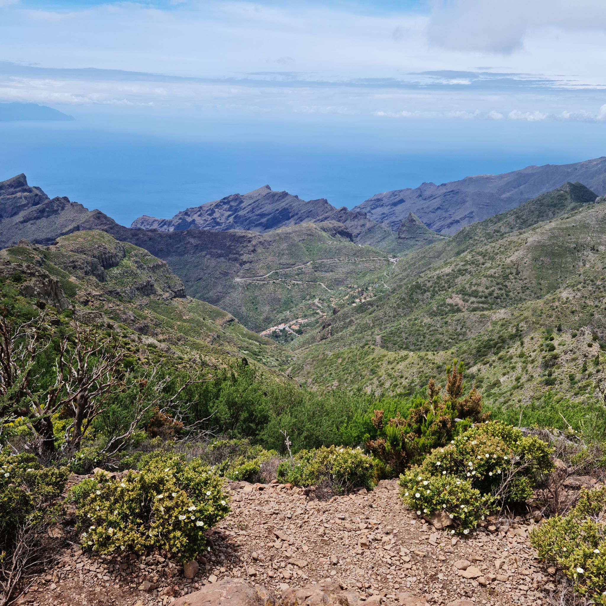
View of Masca, La Gomera, and Teide
Highlight • Viewpoint
Translated by Google •
Tip by

Masca Village
Highlight • Settlement
Translated by Google •
Tip by

Sign up now to discover places like this
Get recommendations on the best single tracks, peaks, & plenty of other exciting outdoor places.
Sign up for free
Roque Pass
Highlight • Mountain Pass
Translated by Google •
Tip by

Highest point at the base of Teide
Highlight • Mountain Pass
Translated by Google •
Tip by

Puerto de Erjos Pass
Highlight • Mountain Pass
The port is an interesting and popular route that starts from the sea …
Translated by Google •
Tip by

Sign up for free to discover even more mountain passes around Santiago Del Teide.
Sign up for free
Already have an account?
Start today with a free account
Your next adventure awaits.
Login or Signup
Popular around Santiago Del Teide
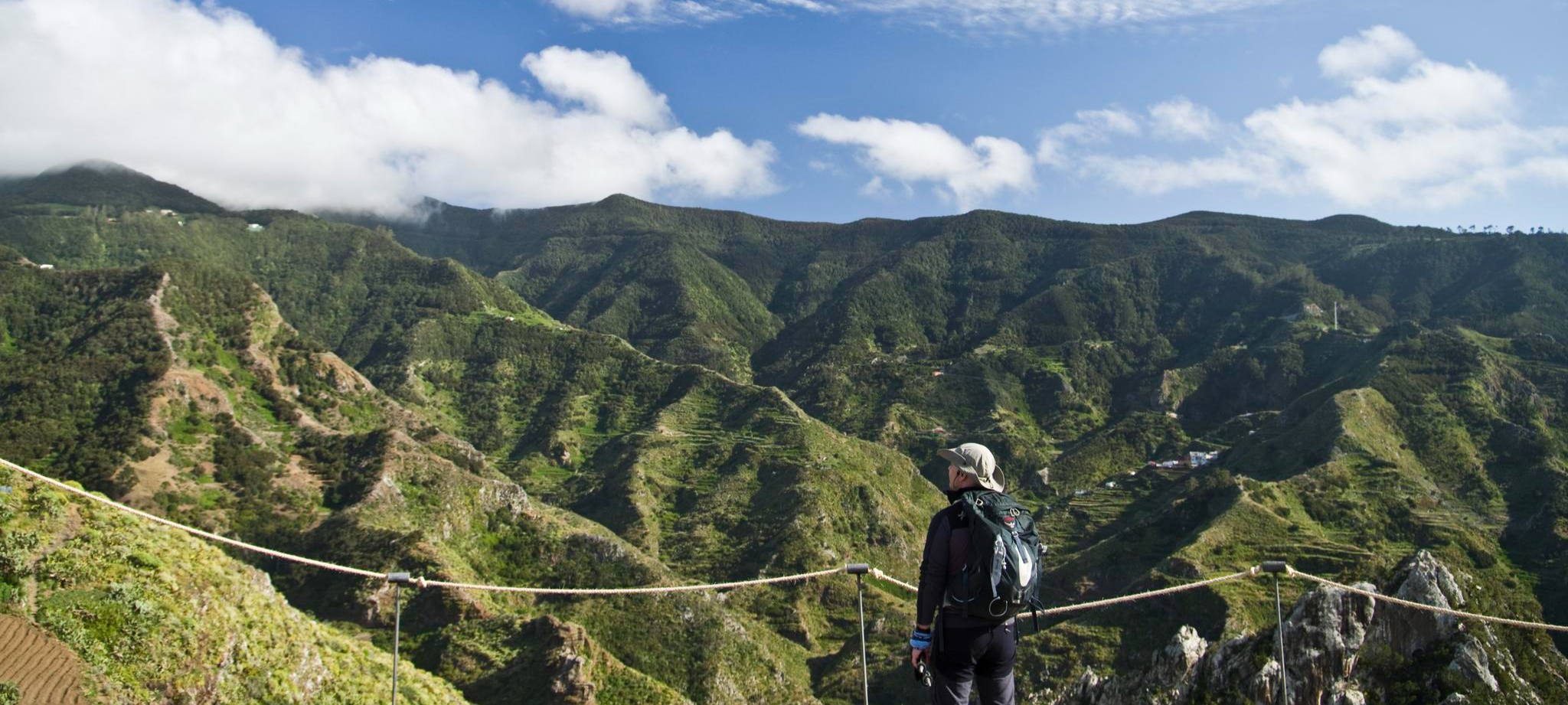
Tenerife's interior – discover fascinating hiking routes
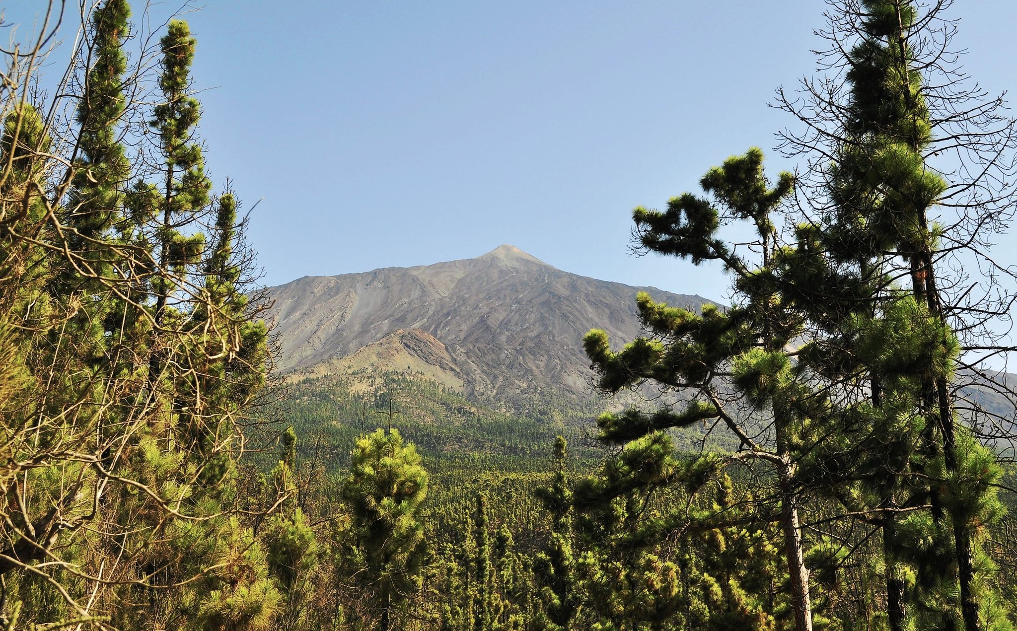
An island pilgrimage – Camino de Santiago de Tenerife
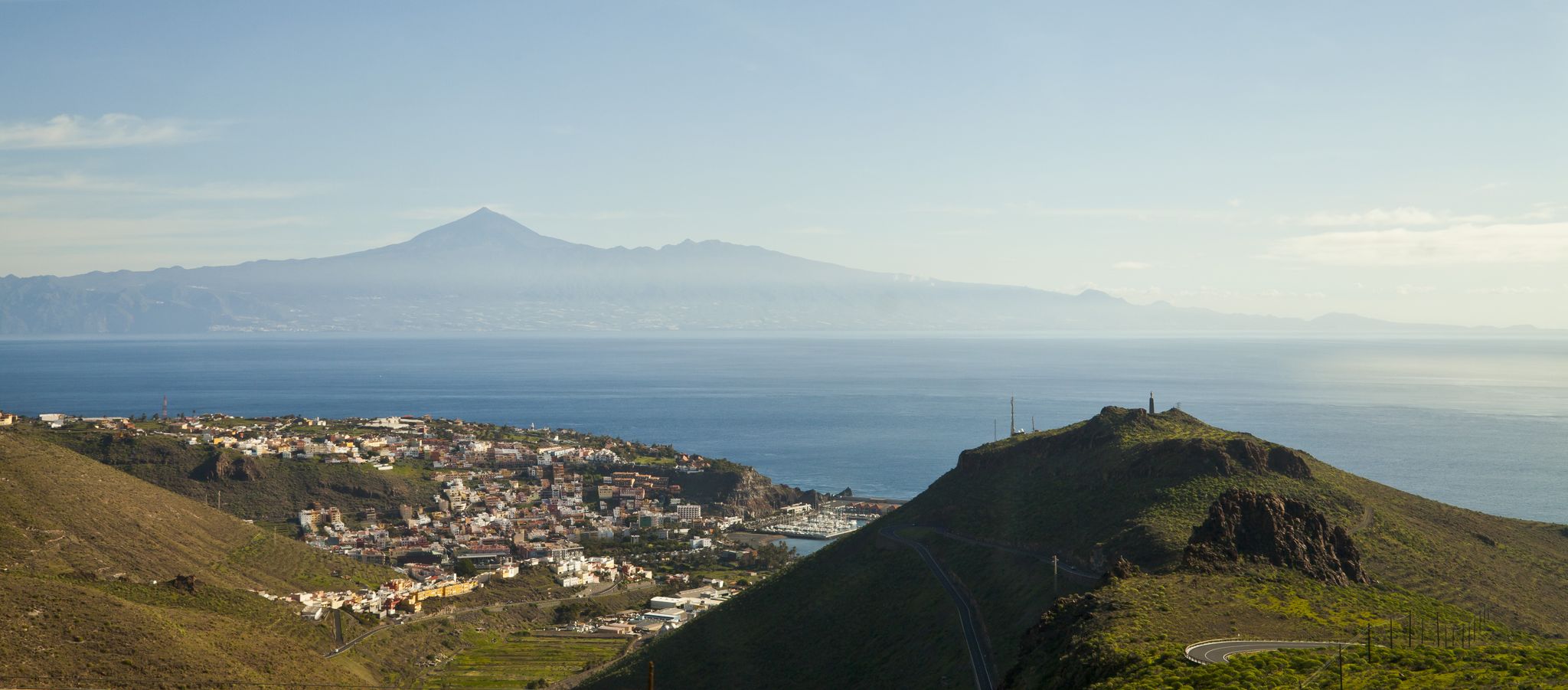
My favourite hikes on Tenerife and La Gomera
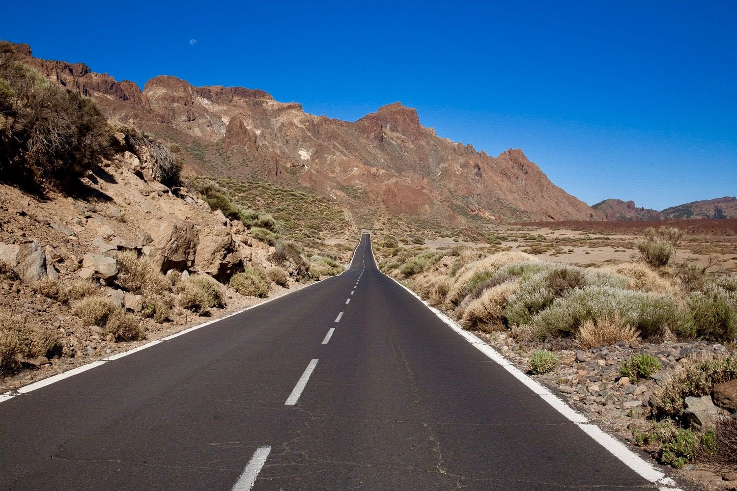
Tenerife by race bike — sunny rides on a volcanic island
Hiking around Santiago Del Teide
Road Cycling Routes around Santiago Del Teide
Running Trails around Santiago Del Teide
Cycling around Santiago Del Teide
MTB Trails around Santiago Del Teide

Gravel biking around Santiago Del Teide
Other adventures around Santiago Del Teide


Tips from the Community

You can take some nice tours here, but it's also very busy.
0
0

It's worth driving up here. It's the highest point between the coast and the coast.
0
0

Sometimes a lot of traffic, once the tunnel is finished it should be quieter
0
0

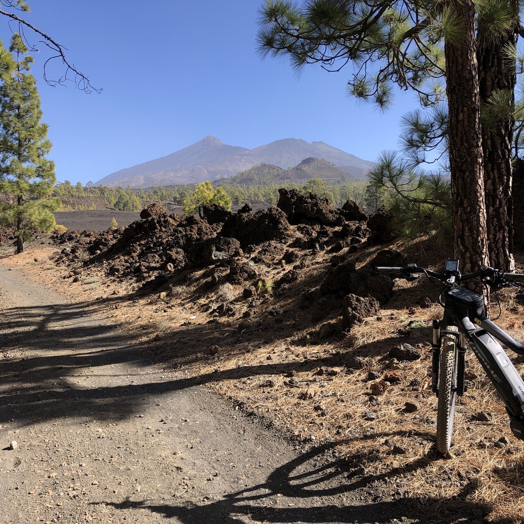
What a giant Teide is becomes clear here at the foot of the mountain. The sign gives it away: you are already at an altitude of 2,250 meters at this point. And yet you have to tilt your head back to look up at the crater of the island volcano and thus at the highest Spanish mountain.
1
0

very pleasant climb, perhaps a little busy, but still beautiful to walk and never challenging
0
0

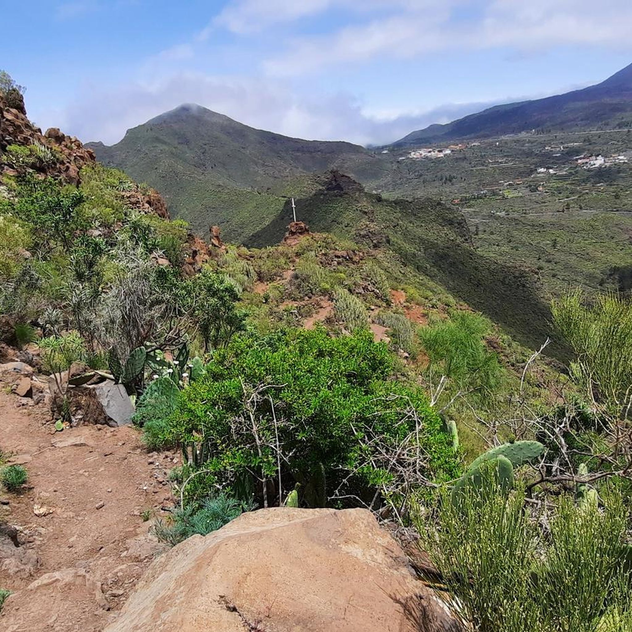
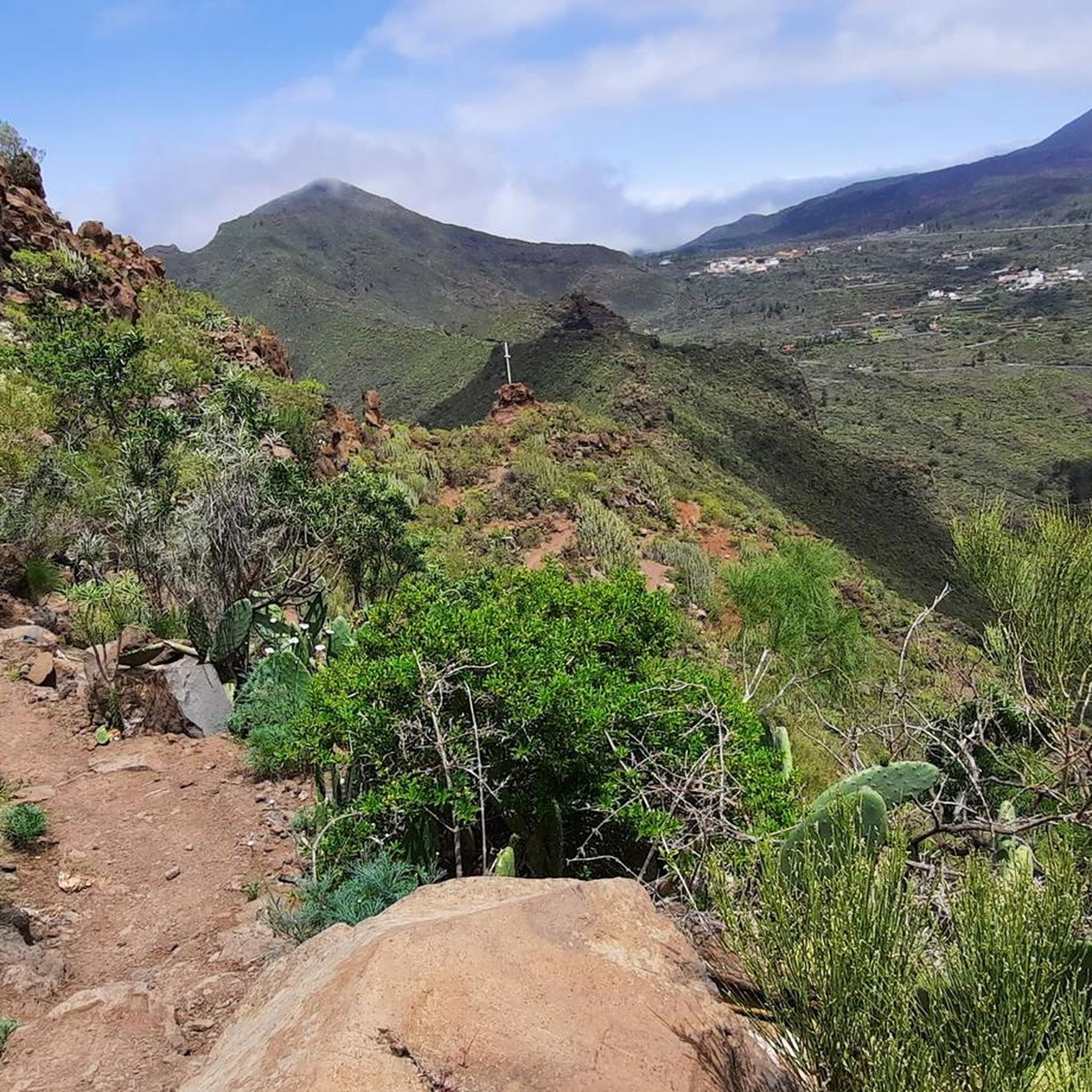
The path to Barancco Seco is closed from February to August due to bird breeding seasons. The upper path, which leads towards El bujero, is very impressive, especially the view of the valley. But the path is also adventurous and can be classified as T2+ in terms of level and in some areas up to T3+ (some exposed areas with a possible risk of falling. The path is mostly recognizable, sometimes only guessable. ), so not without it. At the end it is important to follow the red arrow and turn left up, otherwise you will end up on a short path (T4+) which, after some climbing on the slope, leads back to the actual path, but is very dangerous and you often cannot find the path so you have to look for it yourself. So be careful!
3
0

A fantastic tour in the west of Tenerife!
1
0

Top of the pass and intersection of various hiking trails, access to Barranco Secco
1
0
Frequently Asked Questions
What are some popular mountain passes and viewpoints in Santiago del Teide?
The region offers several notable spots. Visitors frequently enjoy the View of Masca, La Gomera, and Teide, which provides an impressive panoramic view. Another popular route is the Scenic Road in Teno Rural Park, known as one of Tenerife's best climbs. The Masca Village itself is also a unique settlement nestled in the Teno mountains, offering lasting impressions.
What kind of views can I expect from the mountain passes around Santiago del Teide?
From the mountain passes and elevated points, you can expect stunning panoramic views. These often include the dramatic landscapes of the Teno mountains, the unique volcanic terrain, the distant island of La Gomera, and the majestic Mount Teide. Some routes also offer scenic outlooks over the coastline.
Are there hiking trails near the mountain passes in Santiago del Teide?
Yes, the area is rich with hiking opportunities. You can explore trails around the Chinyero Volcano, such as the PR-TF 43.3 from Santiago del Teide, which takes you through lava fields and black sands. Other options include the 'View of Teide from PR TF-51 Trail – Aromatic Forest loop' or the 'View of the Chinyero Volcano – Chinyero Volcano loop'. For more hiking options, visit the Hiking around Santiago Del Teide guide.
Can I cycle through the mountain passes in Santiago del Teide?
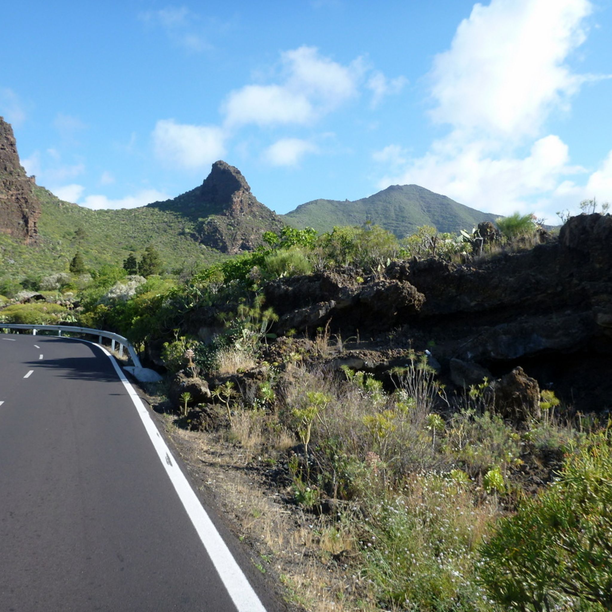
Absolutely. The mountainous terrain around Santiago del Teide is very popular for cycling, featuring substantial elevation changes and challenging routes. The road to Masca village in the Teno Mountains is renowned for its narrow, winding nature, offering a spectacular ascent. The Scenic Road in Teno Rural Park is considered one of the best climbs in Tenerife. For more cycling routes, check out the Cycling around Santiago Del Teide guide.
What is special about Masca Village and the Teno Mountains?
Masca Village, located in the Teno Mountains, is uniquely situated on the inner slopes of a volcanic crater. Its houses are connected by external stairs, creating a picturesque and memorable impression. The road leading to Masca is a challenging and scenic route, popular with cyclists, and offers views encompassing Masca, La Gomera, and Teide.
Can I visit the Chinyero Volcano area?
Yes, the Chinyero Volcano area is accessible and offers a unique landscape. As the site of Tenerife's last volcanic eruption in 1909, it features black lava rocks interspersed with green pine trees. Hiking trails like the PR-TF 43.3 from Santiago del Teide allow visitors to explore this fascinating volcanic terrain. The 'Through the Arenas Negras to Chinyero' route is a moderate hike through lava fields and black sands.
What is the highest point I can reach near Santiago del Teide?
You can reach the Highest point at the base of Teide, which is at an altitude of 2,250 meters. From this point, the sheer scale of Mount Teide becomes clear, offering an impressive perspective on the island volcano and Spain's highest mountain. It's a significant challenge for cyclists, with ascents from near sea level.
Are there challenging routes for experienced hikers or cyclists?
Yes, Santiago del Teide offers numerous challenging routes. For cyclists, the 'Narices del Teide Viewpoint – Corona Forestal loop' is a demanding 102 km ride with 2,580m of elevation gain. Hikers can tackle routes like the 'Santiago del Teide to Chinyero loop (PR-TF 43.3 ; PR-TF 43)', which is a difficult 20 km trail. The Roque Pass also offers adventurous trails with exposed areas.
What is the best time of year to visit the mountain passes in Santiago del Teide?
Tenerife generally enjoys a mild climate year-round, making the mountain passes accessible in most seasons. While specific 'best times' aren't noted, it's advisable to check local weather conditions, especially for higher elevations like Teide, as wind and temperature can vary. Spring and autumn often provide comfortable temperatures for outdoor activities.
Are there family-friendly options for exploring the mountain passes?
While many routes involve significant elevation changes, there are options suitable for families. For instance, the 'View of the Los Gigantes cliffs – View of the Los Gigantes cliffs loop' is an easy 6.5 km hike. When planning, look for trails marked as 'easy' or 'moderate' difficulty, and always consider the elevation gain and distance. The diverse landscapes offer engaging experiences for all ages.
What natural features can I see around the mountain passes?
The region boasts diverse natural features, including dramatic volcanic landscapes with lava fields and black sands, lush mountain forests, and stunning coastal views. You'll encounter unique rock formations, deep gorges, and a variety of vegetation zones as you ascend through different altitudes.
How accessible are the mountain passes by public transport?
Public transport options exist, though they might not reach every trailhead directly. For example, Masca Village can be reached by bus line 355. For more remote starting points, a combination of public transport and a short taxi ride or car rental might be necessary. It's always best to check current bus schedules and routes for specific destinations.
Most popular routes around Santiago Del Teide
Most popular attractions around Santiago Del Teide

Get inspired with the komoot mobile app


Explore more
See even more epic mountain passes by checking out these guides around Santiago Del Teide:
