Top 3 Mountain Passes around Muntanyola
Best mountain passes around Muntanyola are found within a municipality characterized by hilly and forested terrain. Elevations generally range between 650 and 1000 meters, providing a rural and natural landscape for outdoor activities. The area offers various hiking trails that traverse its undulating topography, providing opportunities to experience its natural beauty.
Best mountain passes around Muntanyola
- The most popular mountain pass is La Trona Road, a mountain pass that offers soft climbs with views of Osona. It features a…
Last updated: May 20, 2026
La Trona Road
Highlight • Mountain Pass
If you are finishing in Vic, then you can find a …
Tip by

Coll de la Pullosa (917 m)
Highlight • Mountain Pass
Climbing distance of about 7km to 4.6%.
1001puertosdemontana.blogspot.com/2009/04/coll-de-la-pullosa-por-tona.html
1001puertosdemontana.blogspot.com/2009/04/collsuspinacoll-de-la-pullosa-por-moia.html
Translated by Google •
Tip by

Sign up now to discover places like this
Get recommendations on the best single tracks, peaks, & plenty of other exciting outdoor places.
Sign up for free
Collet de Sant Pere and Ruins of Sant Pere del Coll de la Crossa
Highlight • Mountain Pass
Tip by

Views of Matagalls from GR-2
Highlight • Viewpoint
Translated by Google •
Tip by

Sant Pere Pass
Highlight • Historical Site
Translated by Google •
Tip by

Start today with a free account
Your next adventure awaits.
Login or Signup


Tips from the Community

Good asphalt road in perfect condition
0
0

It is a nice climb because of the tradition of the port, because of the views there are, I recommend that if you go down, be careful because of the sharp curves and the narrow road.
0
0

Spectacular views of the Matagalls. Good forest track to go with the gravel.
2
0

The pass of Sant Pere or de la Crossa is located at an altitude of 930 metres, near the town of l'Estany. Here are the vestiges of the church of Sant Pere del Coll de la Crossa.
1
1

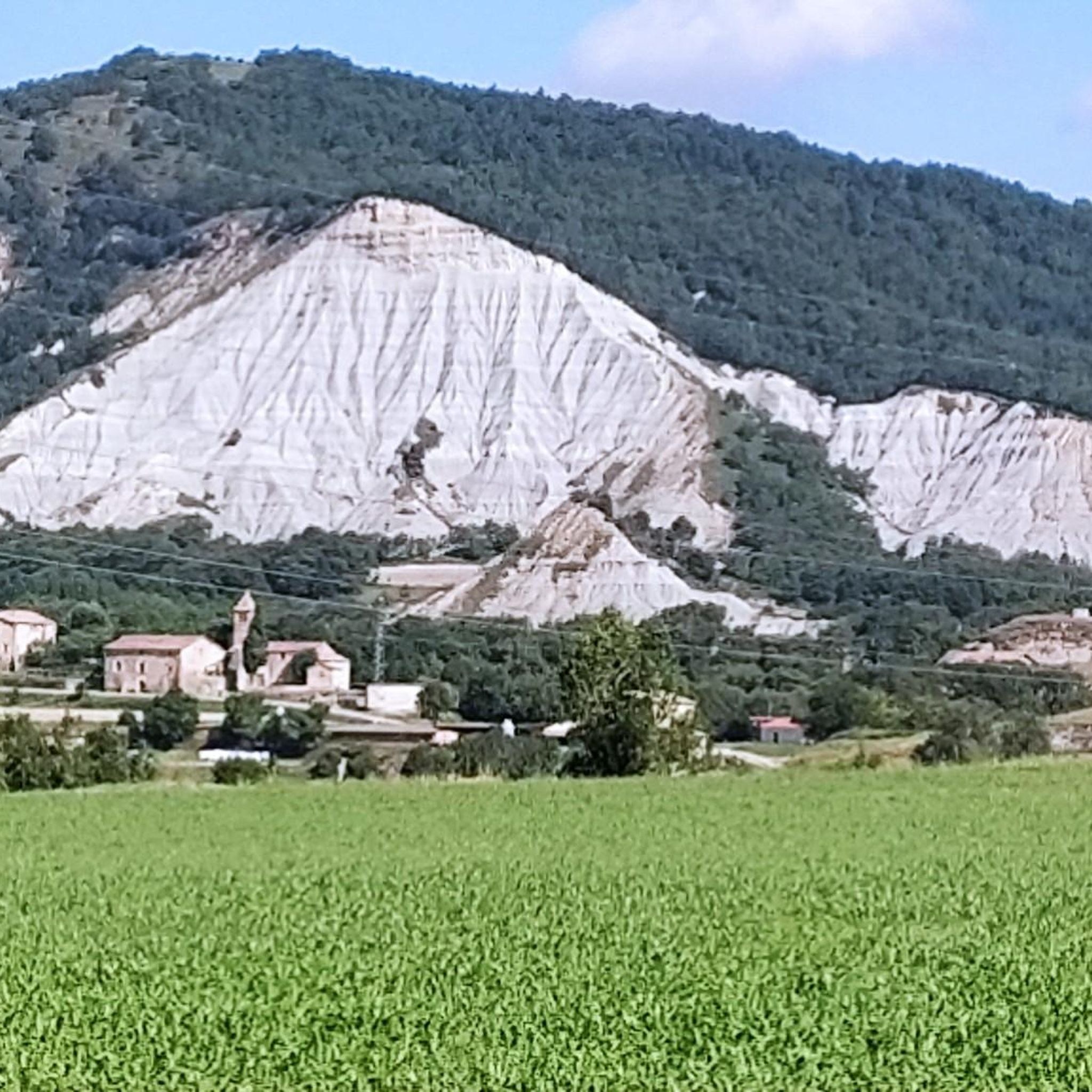
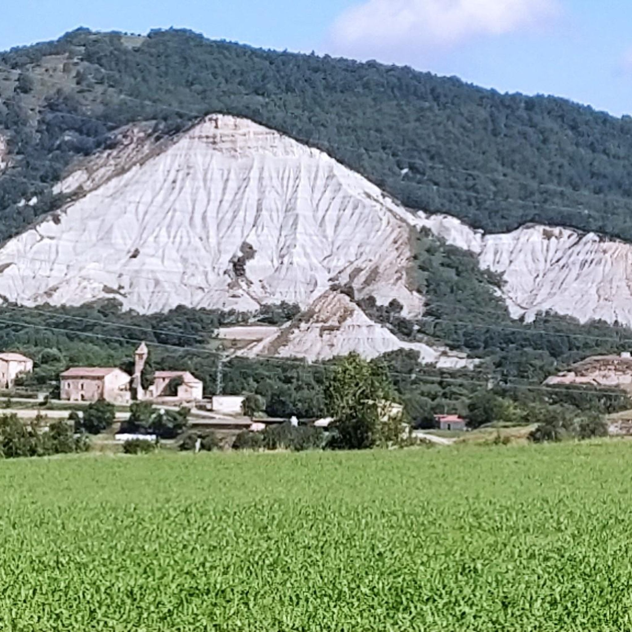
Beautiful panorama where in the background of the image we see the 1,698-meter Matagalls mountain in the Montseny massif, which is located between the municipalities of Brull and Viladrau in the region of Osona, and that of Montseny in the Vallés Oriental. At the top you can find a geodesic vertex, together with a cross of considerable dimensions, dedicated to Mosén Cinto Verdaguer.
20
0

Famous curve (paella) with spectacular views. Don't forget to forget for those views!
0
0

Nice views of Montseny and a good place to sit and rest.
2
0

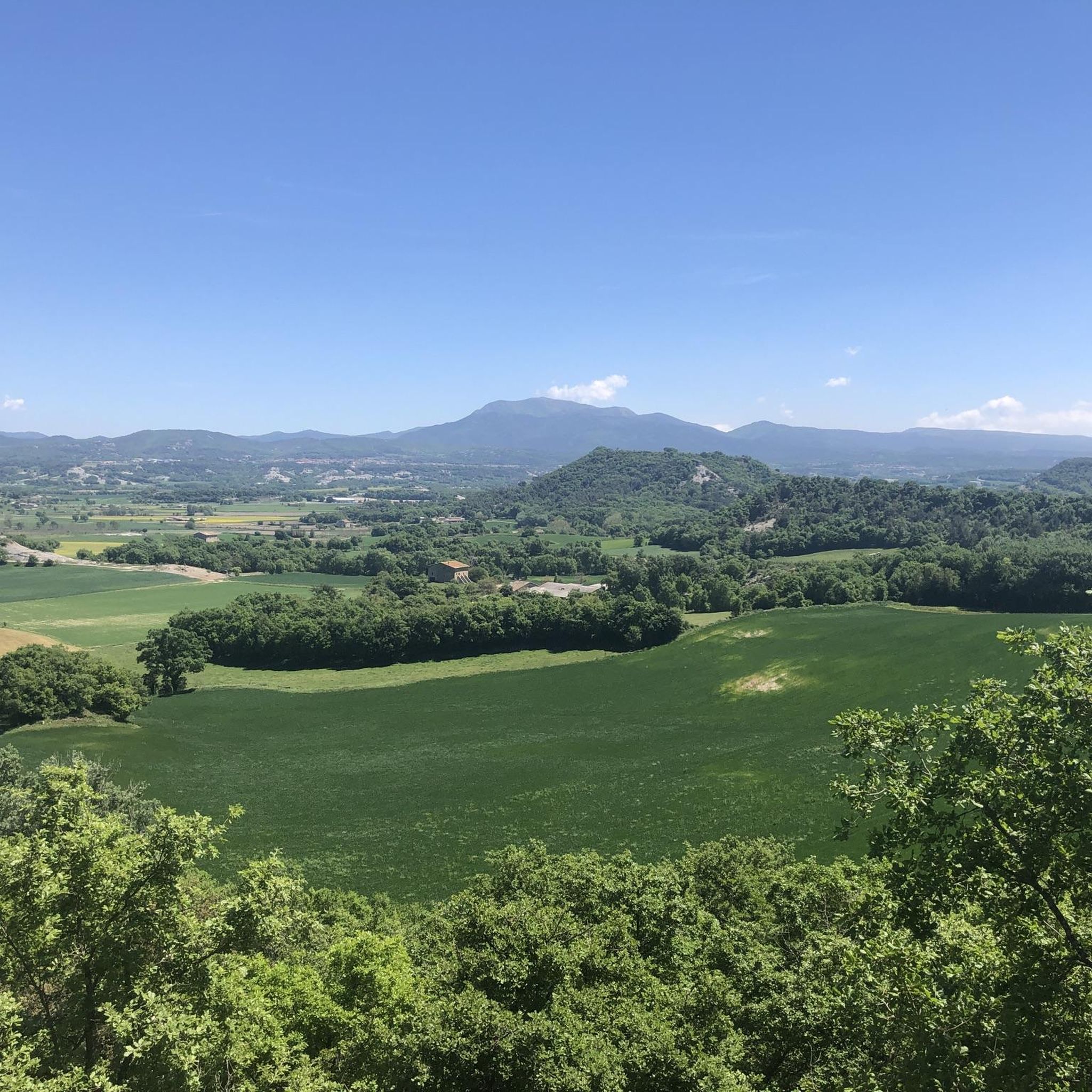
Soft climb with fantastic views. I prefer descenting it, as you really get to enjoy the landscape underneath you. If you are finishing in Vic, then you can find a ton of small roads as alternatives to the main road. It makes for an easy roll down to Vic after a day on the bike.
1
0
Frequently Asked Questions
What kind of terrain can I expect around the mountain passes in Muntanyola?
Muntanyola is characterized by hilly and forested terrain, with elevations generally ranging between 650 and 1000 meters. The area offers a rural and natural landscape, with various hiking and cycling trails traversing its undulating topography.
Are there mountain passes with historical significance in Muntanyola?
Yes, the area features passes with historical elements. For instance, Collet de Sant Pere and Ruins of Sant Pere del Coll de la Crossa is a mountain pass located at 930 meters that includes the remains of the church of Sant Pere del Coll de la Crossa. Another is Sant Pere Pass, also known as Coll de la Crossa, which is at 930 meters and holds the vestiges of the hermitage of St. Pere, an important point for the path of St. Jaume.
Which mountain passes offer the best views in Muntanyola?
Several passes provide excellent viewpoints. La Trona Road offers spectacular views of Osona, especially from its famous curve. Coll de la Pullosa (917 m) also serves as a viewpoint. Additionally, Views of Matagalls from GR-2 provides a beautiful panorama of the Matagalls mountain in the Montseny massif.
What outdoor activities can I do near these mountain passes?
The region around Muntanyola's mountain passes is ideal for various outdoor activities. You can find numerous hiking trails, such as the 'Ermita de Sant Sebastià loop' or 'Santa Eulàlia de Riuprimer – Creu de la Miranda loop'. For cyclists, there are road cycling routes like the 'Mig Prat Spring – Climb to Coll de Fontfreda loop' and gravel biking options, including the 'Collsuspina – Coll de la Pullosa (917 m) loop'. You can explore more options on the Hiking around Muntanyola, Road Cycling Routes around Muntanyola, and Gravel biking around Muntanyola guide pages.
Are there cycling-friendly mountain passes in the Muntanyola area?
Yes, several mountain passes are popular among cyclists. La Trona Road is known for its soft climbs and good asphalt, making it enjoyable for both ascending and descending. Coll de la Pullosa (917 m) involves a climb of about 7 km with an average gradient of 4.6% and features a good asphalt road in perfect condition.
What is the difficulty level of the mountain passes around Muntanyola?
The mountain passes and associated routes around Muntanyola generally range from intermediate to difficult. For example, the hike to Pic de la Muntanyola, which includes the Collada de Montarenyo, is described as challenging. Cycling routes like the 'Collsuspina – Coll de la Pullosa (917 m) loop' for gravel biking are rated as difficult, while some road cycling routes can be moderate or easy.
What do visitors appreciate most about the mountain passes in Muntanyola?
Visitors frequently highlight the stunning views, particularly from spots like La Trona Road, which offers panoramic vistas of Osona. The well-maintained roads for cycling and the integration of historical sites, such as the ruins at Collet de Sant Pere, are also highly valued by the komoot community.
Are there any specific natural landmarks or features to look out for near the passes?
Beyond the passes themselves, the region is characterized by forested hills. The Collada de Montarenyo, for instance, is a natural landmark along the hiking route to Pic de la Muntanyola, offering stunning views. The area also provides panoramas of significant mountains like Matagalls in the Montseny massif from viewpoints such as Views of Matagalls from GR-2.
Can I find circular hiking routes that include mountain passes in Muntanyola?
Yes, the region offers circular hiking routes that incorporate passes. The Coll de Pedradreta is part of a loop hiking route within the municipality of Muntanyola, starting near Molí de la Roca. Many other hiking loops are available, such as the 'Ermita de Sant Sebastià loop' or 'Santa Eulàlia de Riuprimer loop', which traverse the hilly terrain.
What is the best time of year to visit the mountain passes in Muntanyola?
While specific seasonal recommendations for the passes are not detailed, the region's generally mild climate in Catalonia makes it suitable for outdoor activities for much of the year. Spring and autumn typically offer pleasant temperatures for hiking and cycling, avoiding the peak heat of summer and potential chill of winter, though winter hiking is also possible.
Are there any less crowded trails or hidden gems among the mountain passes?
Muntanyola is known for its rural and natural landscape, and while specific 'hidden gems' are not highlighted, exploring the various hiking and cycling routes beyond the most popular spots can lead to quieter experiences. The area's undulating topography means many trails offer a sense of solitude amidst forested hills and scattered farms.
Most popular routes around Muntanyola
Most popular attractions around Muntanyola

Get inspired with the komoot mobile app


Explore more
See even more epic mountain passes by checking out these guides around Muntanyola:
