Top 4 Mountain Passes around Santa Pau
Best mountain passes around Santa Pau are found within the Garrotxa Volcanic Zone Natural Park, an area known for its volcanic landscape and lush forests. The region features numerous elevated points and collades that offer views and challenging routes. These natural features provide opportunities for exploring the unique geology and diverse ecosystems of the area. Visitors can discover a variety of mountain passes and elevated natural features in and around Santa Pau.
Best mountain passes around Santa Pau
- The most…
Last updated: July 1, 2026
Coll de Condreu
Highlight • Mountain Pass
Tip by

Col de Bas
Highlight • Mountain Pass
Translated by Google •
Tip by

Sign up now to discover places like this
Get recommendations on the best single tracks, peaks, & plenty of other exciting outdoor places.
Sign up for free
Collada de Sentigosa
Highlight (Segment) • Mountain Pass
Translated by Google •
Tip by

Coll de Palomera
Highlight • Mountain Pass
Translated by Google •
Tip by

Gravel Road Between Coll de Palomera and Sant Aniol
Highlight (Segment) • Trail
Translated by Google •
Tip by

Start today with a free account
Your next adventure awaits.
Login or Signup

Tips from the Community


Side road to avoid the tunnel. Recommended route for cyclists.
0
0
Use this road to avoid the tunnel on the main road. It is steep, though.
0
0

Shortly before reaching El Coll (coming from Olot) we can find a spring to supply water.
0
0
Asphalt road, I have marked the section that takes us to Sant Joan de les Abadesses, we turn off the Vallfogona road and go in search of Sant Joan de les Abadesses, a very beautiful descent that is appreciated when we come from the ascent from Olot. It is one of the sections of cycling that you must do if you do the Pirinexus from Girona to look for the border in the Coll d'Ares. I did it with the Gravel Bike.
0
0

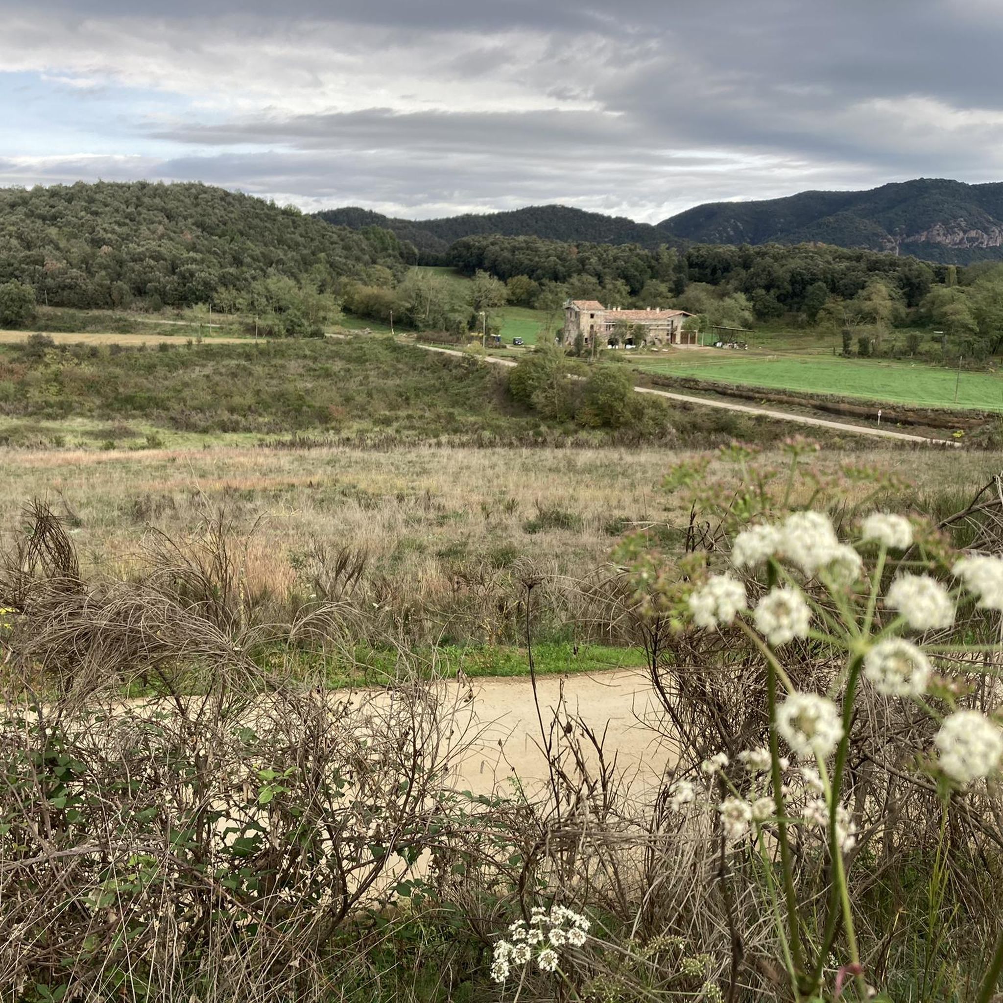
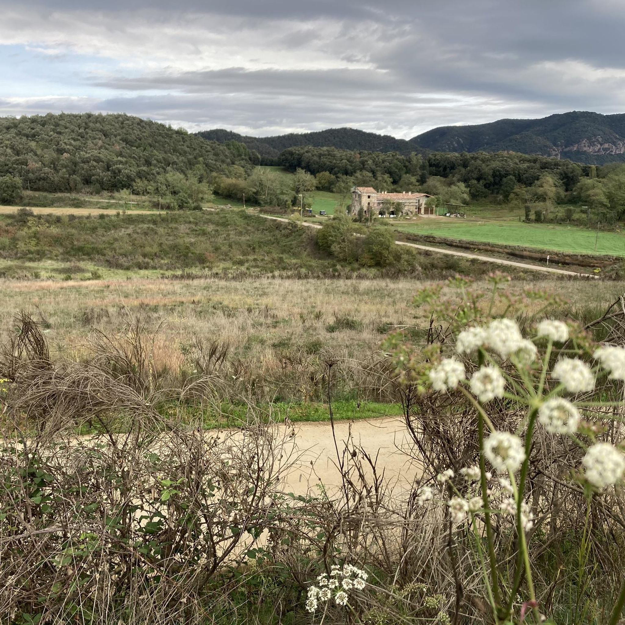
It is a very pleasant port on both sides since it is very bearable, always with ramps of around 5%. I like it better on the southern slope, the one that starts from The 2 slopes are very different, not only in length, but also in the type of landscape. The southern slope is 31.9km from Roda de Ter. It is used in the Terra de Remences march. It has 2 rest areas. It is an open climb, with mostly panoramic views. At first, a lot of views on the Plan de Vic. The northern slope, which starts from the Vall d'en Bas, is 11 km long and has hardly any views, almost always in the shadow of the vegetation and the gorge through which the road climbs. It has several horseshoe curves that give it the appearance of more of a mountain pass. I leave you the link of the altimetry published by @cyclingcols, the best on these topics --> http://www.cyclingcols.com/col/Condreu
0
0

With the start of the ascent from the road of Sant Aniol de Finestres, at the height of Can Tura and taking the detour from the road of Agustins, a long ascent begins for gravel or mountain biking, with some sectors with slopes of 10% or more, with good terrain.
1
0

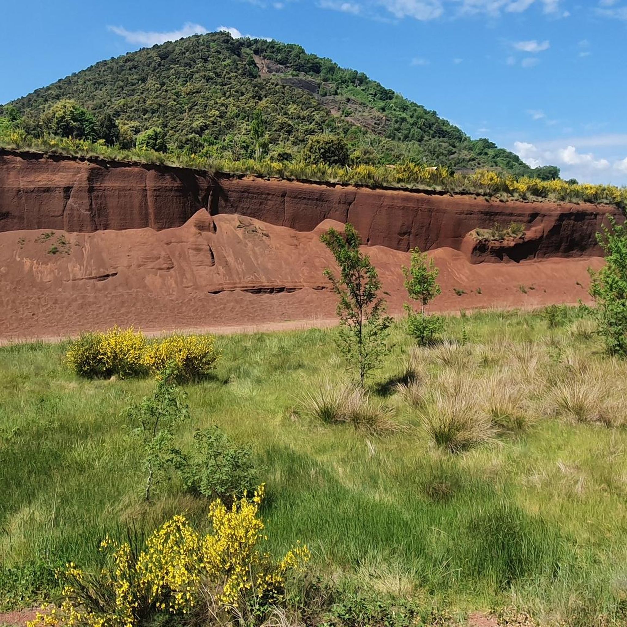
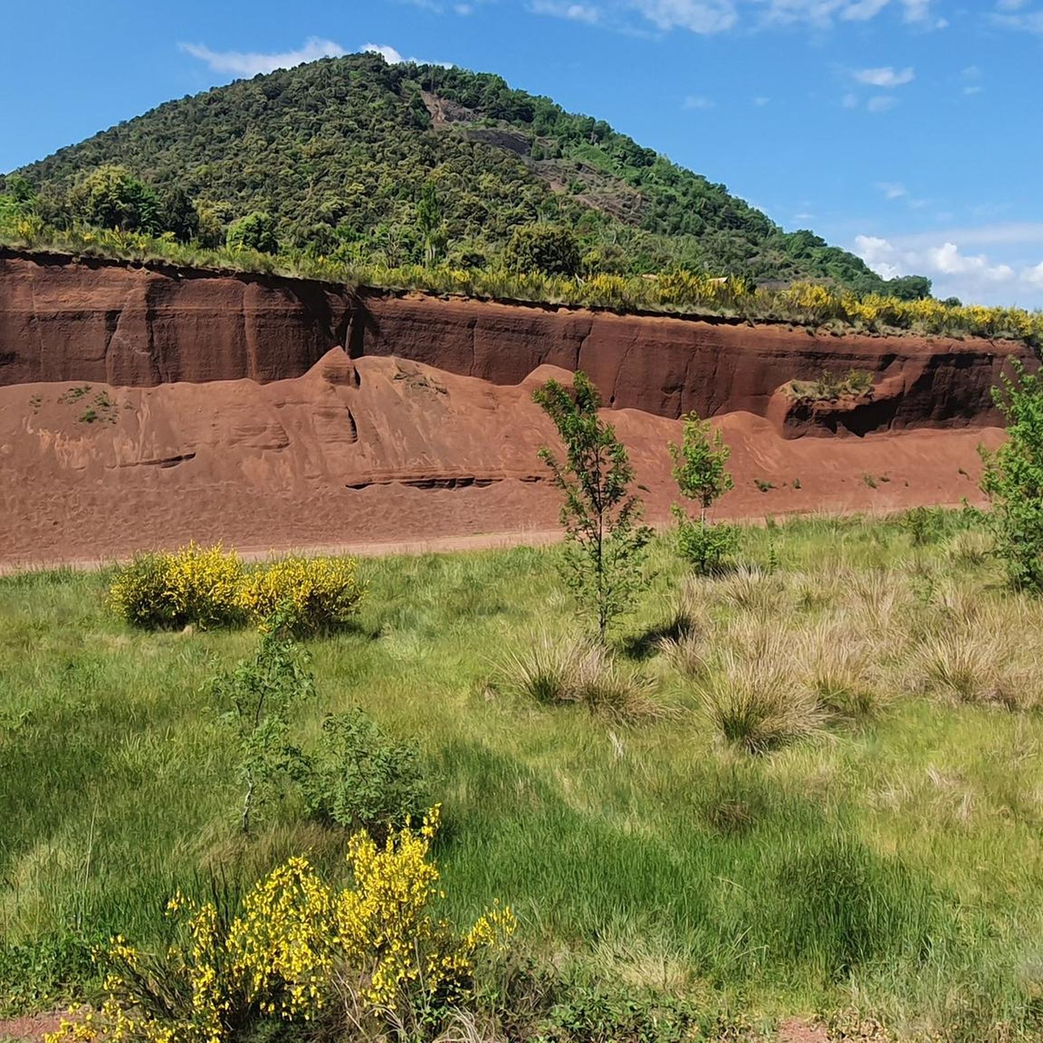
It is not particularly beautiful, but it is the point of intersection between the track that goes up through Falgons, the path that comes from Sta Pau and the one that goes up from Sant Aniol de Finestres. Mandatory crossing point to follow the ridge between Rocacorba (Banyoles) and Olot.
1
0
Frequently Asked Questions
What are some of the most popular mountain passes and elevated features near Santa Pau?
The region around Santa Pau, particularly within the Garrotxa Volcanic Zone Natural Park, offers several notable elevated points. Among the most popular are Coll de Condreu, known for its classic climb and a cafeteria at the top, and Col de Bas, which marks the entrance to the Natural Park and offers views of the Puigsacalm. Additionally, the area around Collada de Bracons and the Santa Margarida Volcano are highly regarded for their scenic beauty and recreational opportunities.
Are there challenging mountain passes for experienced cyclists or hikers?
Yes, for cyclists, the road to Collada de Bracons is known for its challenging 5-kilometer section with an average gradient exceeding 8%, reaching up to 14% in some parts. For hikers, routes from Collada de Bracons to Puigsacalm can be moderate to difficult, involving sections with fixed ropes and chains. Collada de Sentigosa also features an asphalt road popular for cycling descents.
What kind of views can I expect from the mountain passes in this region?
The mountain passes and elevated points around Santa Pau offer spectacular panoramic views. From Collada de Bracons, you can see the Puigsacalm massif, the Vall d'en Bas, and the wider Garrotxa volcanic zone. The summit of Puigsacalm (1,515 meters) provides vistas that, on clear days, can stretch across the Bay of Roses, Pedraforca, Serra del Cadí, Canigó, Puigmal, Montseny, Montserrat, and the natural park of the volcanic area below.
Are there family-friendly options for exploring the volcanic landscape?
Absolutely. The Santa Margarida Volcano is a popular and family-friendly destination. It offers easy to moderate walking paths to its impressive 2,000-meter diameter crater, which now forms a lush meadow. A unique feature is the small Romanesque hermitage, Santa Margarida de Sacot, situated in the center of its crater, making for a memorable visit for all ages.
When is the best time to visit the mountain passes and natural features around Santa Pau?
The region is beautiful year-round, but autumn is particularly vibrant due to the beech forests, especially around Collada de Bracons and Puigsacalm. Hiking through the shaded forest trails of the Garrotxa Volcanic Zone Natural Park, such as around Santa Margarida Volcano, is comfortable even on warmer days. Clear days are best for enjoying the panoramic views from higher elevations.
What unique natural features can I find in the Garrotxa Volcanic Zone Natural Park?
The Garrotxa Volcanic Zone Natural Park is renowned for its unique volcanic landscape. You can explore well-preserved extinct volcanoes like Santa Margarida, which features a lush meadow within its crater. The area is characterized by dense forests of beech, chestnut, holm, and oak trees, offering diverse vegetation and geological interest. The park is considered the best example of a volcanic landscape on the Iberian Peninsula.
What outdoor activities can I do near the mountain passes around Santa Pau?
The area is a paradise for hikers and cyclists. You can find numerous routes for road cycling, such as the challenging climbs around Collada de Bracons, or explore gravel roads like the one between Coll de Palomera and Sant Aniol. For running and hiking, there are trails through the volcanic park, including routes around the Santa Margarida and Croscat volcanoes. You can find more details on specific routes in the Road Cycling Routes around Santa Pau, Running Trails around Santa Pau, and Cycling around Santa Pau guides.
Are there any historical or cultural sites integrated with the natural landscape?
Yes, the Santa Margarida Volcano uniquely features a small Romanesque hermitage, Santa Margarida de Sacot, situated right in the center of its crater. This provides a fascinating blend of natural wonder and historical architecture within the volcanic landscape.
What do visitors enjoy most about the mountain passes and natural areas near Santa Pau?
Visitors highly appreciate the breathtaking scenery, especially the panoramic views from elevated points like Puigsacalm. The challenging routes for cycling and hiking, the unique experience of exploring volcanic craters, and the opportunity to immerse oneself in the diverse flora and fauna of the beech forests are also major draws. The komoot community has contributed 53 upvotes and 12 photos, highlighting the area's appeal.
Are there any specific tips for cyclists tackling the mountain passes?
Cyclists often recommend riding a loop from St Hilari, over the dam-wall and through Rupit for the best approach to Coll de Condreu. For Collada de Sentigosa, the descent towards Sant Joan de les Abadesses is a very beautiful section, and there's a spring available for water supply shortly before reaching El Coll when coming from Olot.
Can I find routes suitable for gravel or mountain biking?
Yes, the region offers excellent options for gravel and mountain biking. For instance, the area around Coll de Palomera features tracks that go up through Falgons and from Sant Aniol de Finestres, with some sectors having slopes of 10% or more. There's also a beautiful gravel road connecting Sant Aniol de Finestres and Mieres, passing over the Llémena stream, which is part of many great gravel roads in Garrotxa.
Most popular routes around Santa Pau
Most popular attractions around Santa Pau

Get inspired with the komoot mobile app


Explore more
See even more epic mountain passes by checking out these guides around Santa Pau:
