Top 9 Natural Monuments around Sant Joanet
Natural monuments around Sant Joanet offer diverse natural features and historical landscapes. The area encompasses 9 natural monuments, providing opportunities to explore unique geological formations, recreational spaces, and historical sites. These locations contribute to the region's natural heritage and offer varied outdoor experiences. Sant Joanet's landscape is characterized by its blend of natural beauty and historical significance.
Best natural monuments around Sant Joanet
- The most popular natural monuments is Bitter Spring, a recreational area with a fountain and trails.…
Last updated: July 1, 2026
Les Salines
Highlight • Natural Monument
It is a protected space …
Translated by Google •
Tip by

Views of the Assut d’Antella
Highlight • River
Translated by Google •
Tip by
Sign up now to discover places like this
Get recommendations on the best single tracks, peaks, & plenty of other exciting outdoor places.
Sign up for free
Bitter Spring
Highlight • Rest Area
Translated by Google •
Tip by

Quarry of Quatre Camins (Llosar dels Francs)
Highlight • Historical Site
Translated by Google •
Tip by
Cart tracks
Highlight • Historical Site
Translated by Google •
Tip by
Sign up for free to discover even more natural monuments around Sant Joanet.
Sign up for free
Already have an account?
Start today with a free account
Your next adventure awaits.
Login or Signup

Tips from the Community

The Quatre Camins quarry, also known as the Llosar dels Francs, is an archaeological site 500m away. of the Roman villa, known as Villa Cornelius, located in Partida dels Francs, in the municipality of Énova. These are quarries that, according to some scholars, could be considered the most important of the Roman period in the Iberian Peninsula. The commercialization of the marble extracted from these quarries was the main source of wealth for the Iunii family, of the Galeria Tribe, owners of the plantation and the Cornelius town. The transport of the stone was done through the carriladas, that is to say, grooves in the rocks that channeled the wheels of the carts, which can still be seen on the road that leads from Énova to Barxeta (https:// www.komoot.com/es-es/highlight/6171388). The planter has preserved marks that show that the marble was extracted forming rectangular blocks. These large blocks were transported in bullock carts to the town, where the work of stonemasons or stonemasons continued, who would fragment them and shape them into specific pieces, according to the order that needed to be served. This marble was used to make tombstones, monuments of different sizes and even slabs to pave the Roman theater in Zaragoza or the plinths of the Romanesque door of the Cathedral of Valencia. In the same municipality of Énova there are several Roman tombstones that provide the Greek names of slaves such as Lleones, Vibi Èutic (Vibius Euthycus) and Himeto (Himetós), which are built with materials from these quarries.
1
0
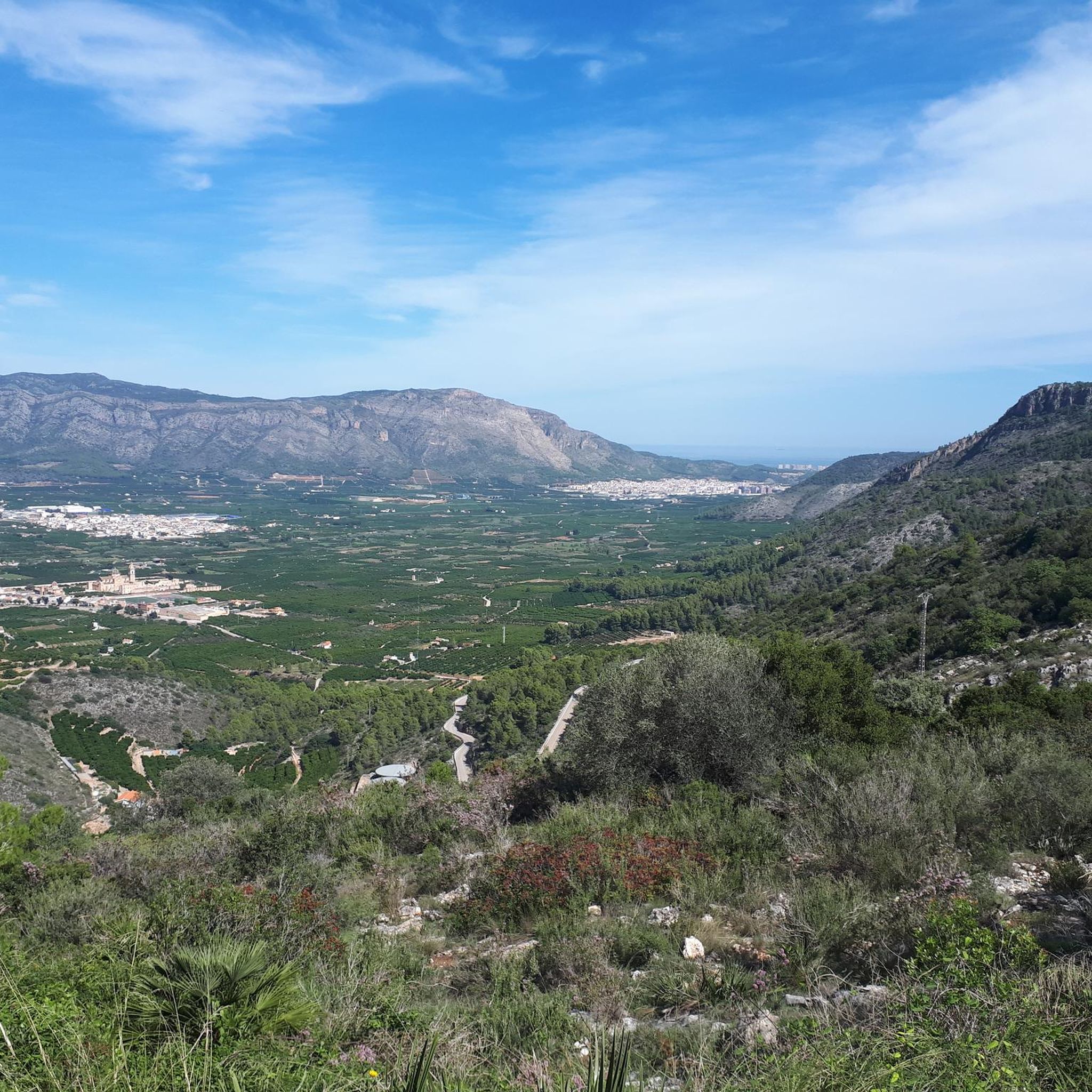
The Assut d'Antella is an essential part of the hydraulic infrastructure of the Séquia Reial del Xúquer, as it functions as a dam that diverts part of its water from the river to the ditch. Considered as a fluvial beach with a crowning height of 3 meters and a dam length of 315 meters, we find the Assut d'Antella between the Xúquer River and the foothills of the Tous mountain range. Without a doubt, the weir is the most well-known natural site in the town, and for which hundreds of tourists come to visit Antella every year, and to enjoy the waters of the river swimming with friends or family. In addition, its importance can be identified at a glance by finding it represented on the town's coat of arms.
1
0
The so-called "lanes" are the marks of a road perpendicular to the Via Heraklea (Path of Hercules) during the Bronze Age, which the Romans later renamed Via Augusta. This road, in the Iberian era, connected the interior of the peninsula with the sea, directly connecting the ancient city of Saiti (Roman Saetabis, today Xàtiva) with the city of Dianium (now Dénia). These lanes are very marked in the rock due to the continuous traffic of the carts. The distance between the axles of the wheels confirms that they date from the Iberian era. In Énova, this road was used for centuries due to the Roman exploitation of the quarry for the production of marble (which is located a few meters away), as well as being used to connect the Roman Villa with the rest of the world
1
0
Les Salines de Manuel is a municipal natural site of 28 hectares, of great landscape value, which is located next to the town of Manuel. It is a protected space of high ecological and historical value, as it was an old salt mine of the army, now turned into a large green lung. The exploitation was possible thanks to the composition of the so-called Serra de les Salines, formed by a rich combination of mineral salts from sandy rocks, limestone, reddish clay and other materials, giving rise to what we know as "common salt" . Due to the presence of all these minerals, the vegetation has the particular characteristic of being different from that of other places, either because of the adaptation to the terrain or because of the abundant foliage. This is why the site of Les Salines de Manuel houses two very different types of vegetation. On the one hand, the white pine forest with its traditional companions (lentiscle, coscolla, margallon, rosemary, rudder, buckthorn, juniper, etc.); and for another, the saline outcrops, where a Valencian endemic known as Limonium mansanetianum grows in honor of José Mansanet, the great botanist of Simat de la Valldigna. Next to this grass, capable of filtering salt water and expelling the salt through the leaves, grow several tamarinds, trees more typical of coastal areas. The circular route of the area, known as the Ruta de la Sal, is divided into 3 paths, which make up a total of approximately 4 kilometers, all signposted. On the way, you will meet a hill called the "wall of bullets", used in the past for shooting exercises by the army, which had an Engineers and Sappers School here between 1906 and 1996. There is also the Paret del Moro , which are the remains of a Muslim fortification from the 10th century; the remains of an old machine gun nest and trenches; buildings of the old salt exploitation; or the birth of salt water that supplied the salt pans, as well as the recreational area. Les Salines de Manuel, full of vegetation and pines adapted to salt, was exploited since ancient times by the Romans, being handed over a little over a century ago to the army, who finally handed it over to the population to be recovered for the use and enjoyment of visitors as a natural site. The military use lasted until 1996, although it was not until 2006 when the Manuel City Council acquired the land to be used for sports, a rural tourism center and the adaptation of the area as a municipal natural site and the adaptation of various hiking routes.
1
0
Marks left on the stones by the carts that loaded the marble from the Roman quarry.
2
0

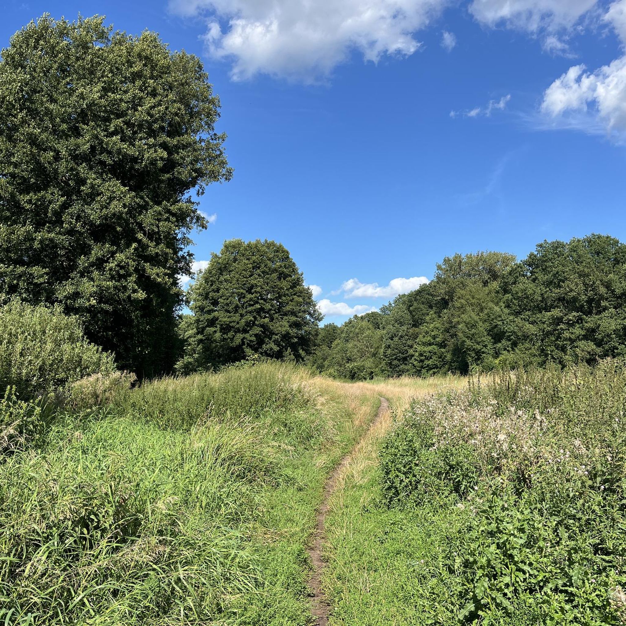
Recreational area with fountain and trails for walking or mtb ** Recreational area with fountain and trails for walking or mtb
2
0
It is a birth of non-potable water of bitter taste and with a healing reputation (not scientifically proven) for acne, sores or skin infections.
1
0

This water really comes out bitter, don't even think about trying to drink from this source, I don't think it would take much for them to decide on the one it is wearing. By the way, I say not to drink this water because I did drink and it was a very bad decision.
3
0
Frequently Asked Questions
What unique natural features can I explore around Sant Joanet?
Sant Joanet offers a variety of unique natural features. You can visit Les Salines, a municipal natural site with a distinct ecosystem adapted to saline soil, featuring a white pine forest and rare endemic plants. Another interesting spot is the Dry River Bed, an example of a 'river-rambla' that maintains a minimum water flow year-round, contributing to its unique ecological character.
Are there any natural monuments with historical significance in the area?
Yes, several natural monuments around Sant Joanet boast significant historical value. Les Salines, for instance, was an ancient salt mine exploited since Roman times and later used by the army. You can also explore the Quarry of Quatre Camins (Llosar dels Francs), an archaeological site believed to be one of the most important Roman quarries in the Iberian Peninsula, with visible Cart tracks left by Roman carts.
Where can I find panoramic views of the surrounding landscape?
For extraordinary panoramic views, head to Mount Calvari, a distinctive promontory rising 101 meters above sea level. It offers extensive views of Camp d'Alacant and significant geographical landmarks. Additionally, the Views of the Assut d’Antella provides a scenic viewpoint over the Xúquer River and its hydraulic infrastructure.
Are there family-friendly natural monuments or recreational areas?
Absolutely. The La Coix Recreational Area, also known as Coix Forest Park, is an ideal spot for families. It features ancient crop terraces, a Mediterranean forest, and is equipped with tables, water, shade, and a viewpoint for picnics. The Bitter Spring also offers a recreational area with trails suitable for walking.
What kind of outdoor activities can I do near these natural monuments?
The area around Sant Joanet is great for various outdoor activities. You can find numerous cycling routes, including those for touring bikes, mountain bikes, and road cycling. For example, there are routes like the 'Bitter Spring – Les Salines loop' for touring bikes or 'Bitter Spring – Camí de la Creu loop' for MTB. You can explore more options on the Cycling around Sant Joanet, MTB Trails around Sant Joanet, and Road Cycling Routes around Sant Joanet guide pages.
Are there any gardens or green spaces with notable trees?
Yes, the La Concepción and Manzaneta Gardens are picturesque enclaves known for their spectacular monumental trees. These historic gardens were originally part of 18th-century estates and offer a charming natural setting. Sant Joan d'Alacant also has a Catalog of Unique Trees and Shrubs, highlighting individual significant trees throughout the landscape.
What is the 'Bitter Spring' known for?
The Bitter Spring is a recreational area featuring a source of non-potable water with a distinct bitter taste. While it has a local reputation for healing skin ailments, this is not scientifically proven. It's a popular spot for walking and mountain biking on its surrounding trails.
Can I find hiking trails within the natural monuments?
Yes, some natural monuments offer dedicated trails. For instance, Les Salines features a circular route known as the Ruta de la Sal, divided into three paths totaling approximately 4 kilometers, all signposted. The La Coix Recreational Area and the Bitter Spring also have trails for walking.
What is the significance of the Assut d’Antella?
The Assut d’Antella is a crucial part of the Séquia Reial del Xúquer's hydraulic infrastructure, functioning as a dam that diverts water from the river. It's considered a fluvial beach and is a well-known natural site, even depicted on the town's coat of arms, attracting visitors to enjoy the river's waters.
What do visitors enjoy most about the natural monuments around Sant Joanet?
Visitors particularly appreciate the blend of natural beauty and historical significance. The diverse landscapes, from the unique saline ecosystem of Les Salines to the historical Roman quarry at Quarry of Quatre Camins, offer varied experiences. The recreational facilities, panoramic viewpoints, and opportunities for outdoor activities like cycling and walking are also highly valued by the komoot community.
Is there parking available at the natural monuments?
While specific parking details for each monument are not always listed, recreational areas like La Coix Recreational Area and Mount Calvari are typically equipped with facilities that include parking. It's advisable to check local signage upon arrival for the most accurate information.
What is the best time to visit the natural monuments around Sant Joanet?
The region generally enjoys a Mediterranean climate, making spring and autumn ideal for visiting the natural monuments. During these seasons, the weather is typically mild and pleasant for outdoor activities like hiking and cycling, and the vegetation is often at its most vibrant. Summer can be very hot, while winter offers cooler, but still often sunny, conditions.
Most popular routes around Sant Joanet
Most popular attractions around Sant Joanet

Get inspired with the komoot mobile app


Explore more
Extend your search for the best caves by checking out these guides of the top ones around Sant Joanet:
